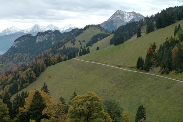
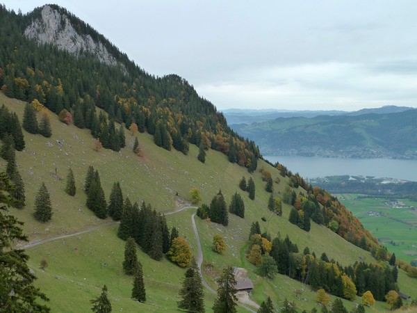
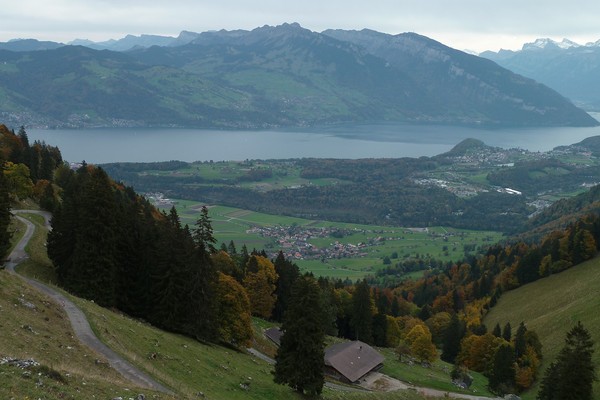
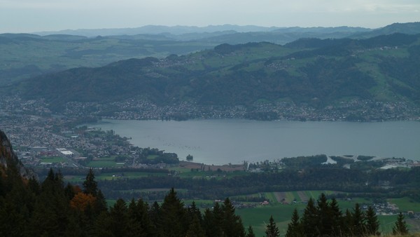
Information
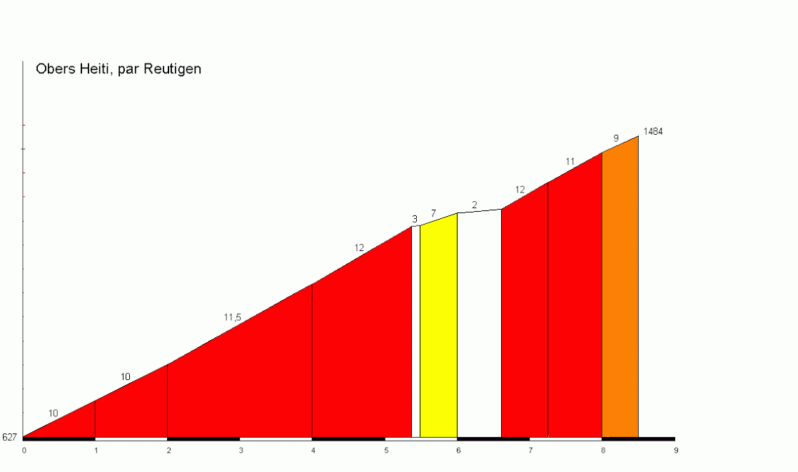
| Name : | Obers Heiti |
| Altitude : | 1484 m |
| Start : | Reutigen |
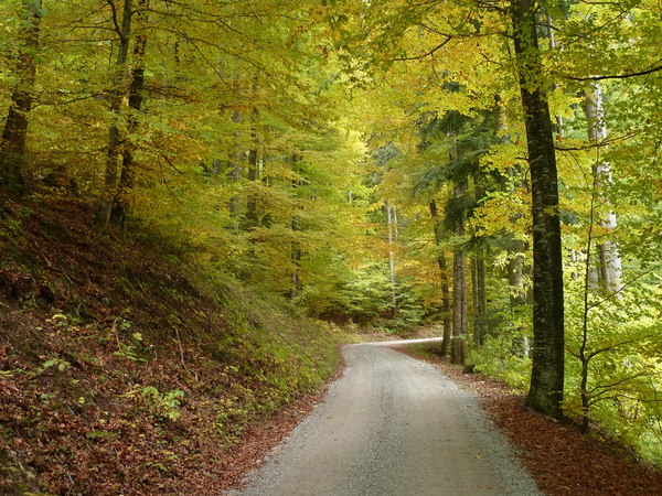
| MTB : | WARNING: this climb requires a MTB |
| Length : | 8.50 km |
| Elevation gain : | 857 m |
| % Avg : | 10.08% |
| % Max : | 12.0% |
| Mountain range : | Bernese alps, Switzerland |
There's other climb of this summit
Map
Profile
 Ascents reserved for cyclists