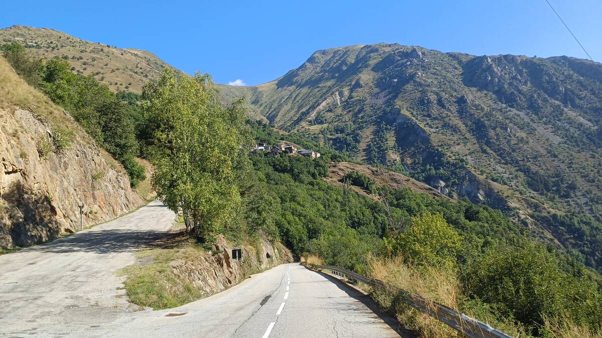
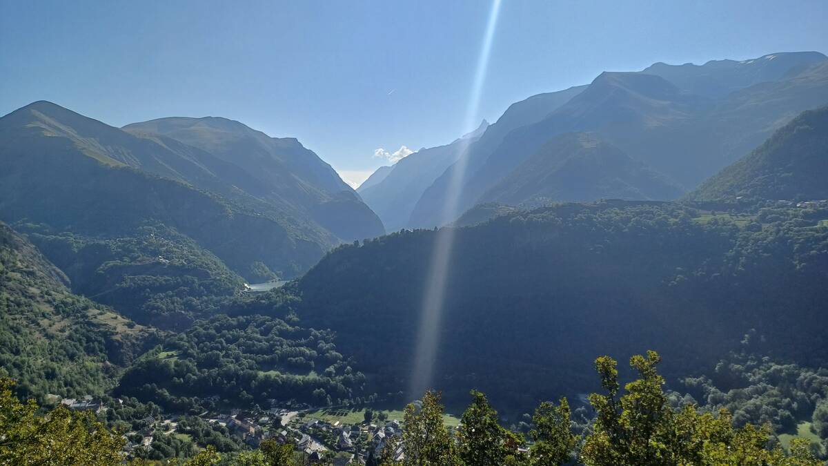
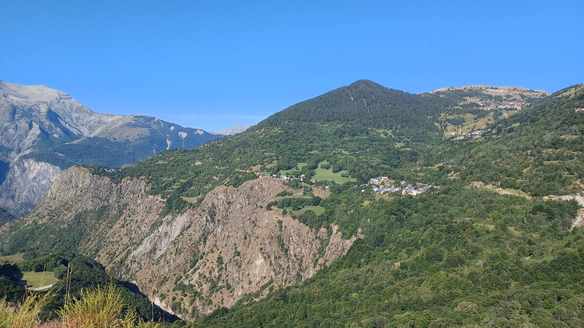
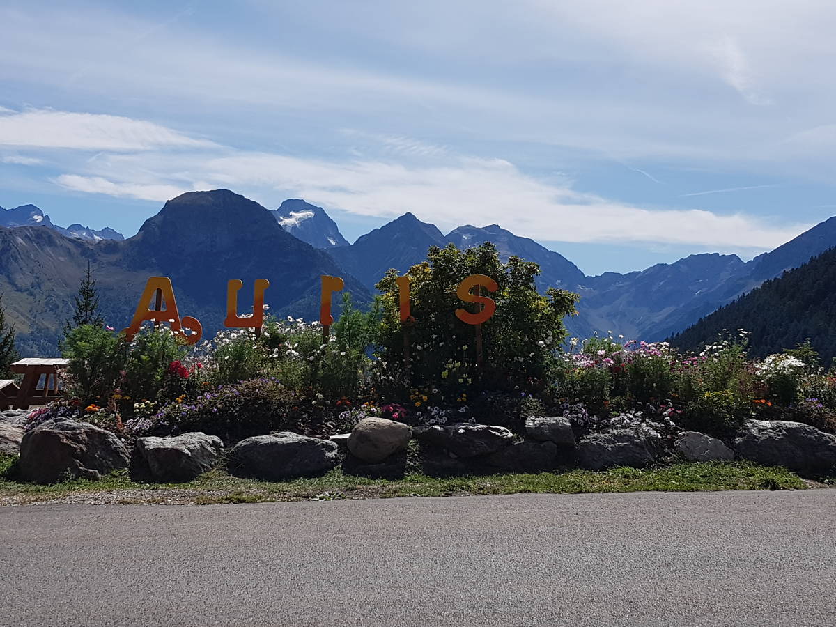
Information
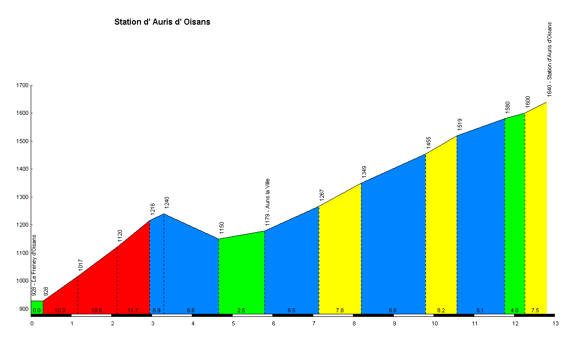
| Name : | Auris en Oisans |
| Altitude : | 1640 m |
| Start : | Le Freney d'Oisans |
| Length : | 12.80 km |
| Elevation gain : | 712 m |
| % Avg : | 5.56% |
| % Max : | 11.7% |
| Mountain range : | Arves and Grandes Rousses, France |
There's other climb of this summit
Map
Profile
 This climb is reserved for cyclists on 20/08/2019 :