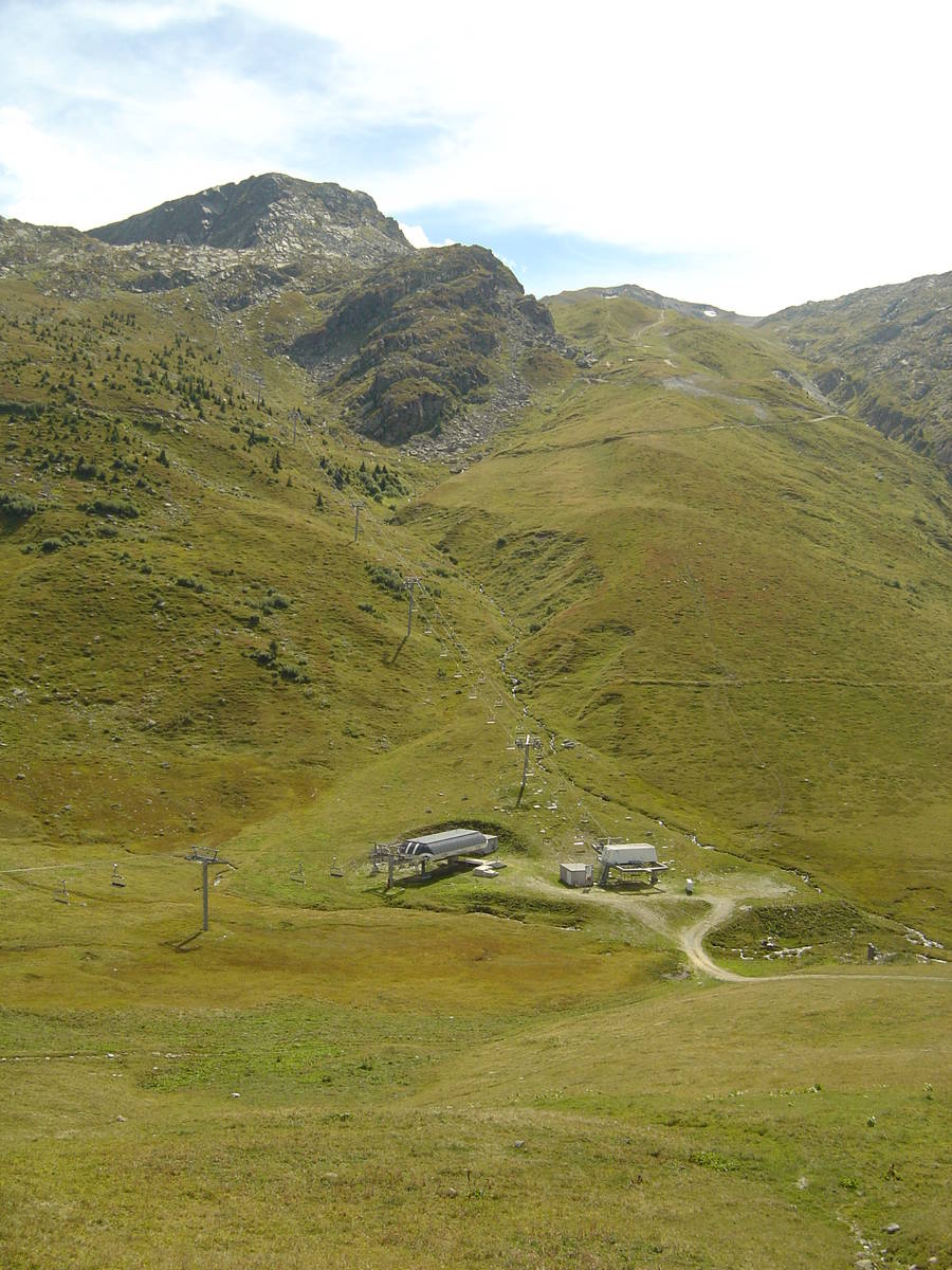
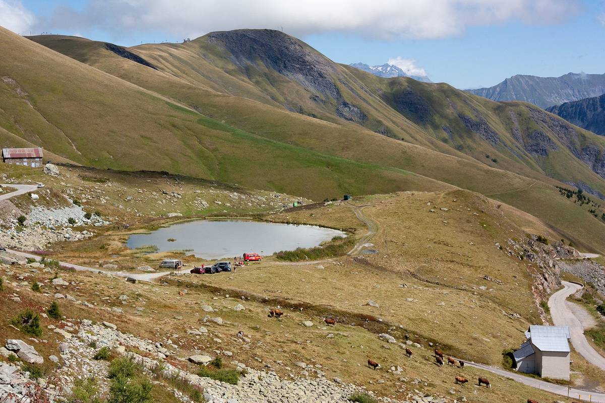
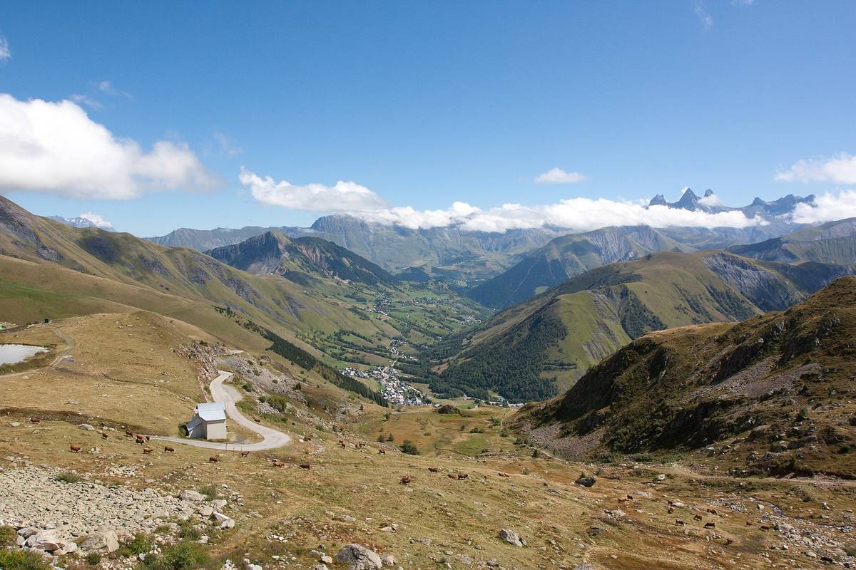
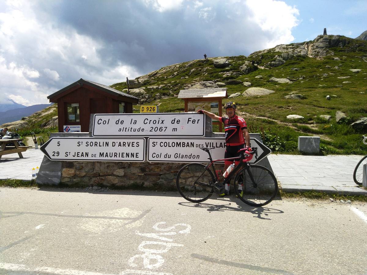
Information
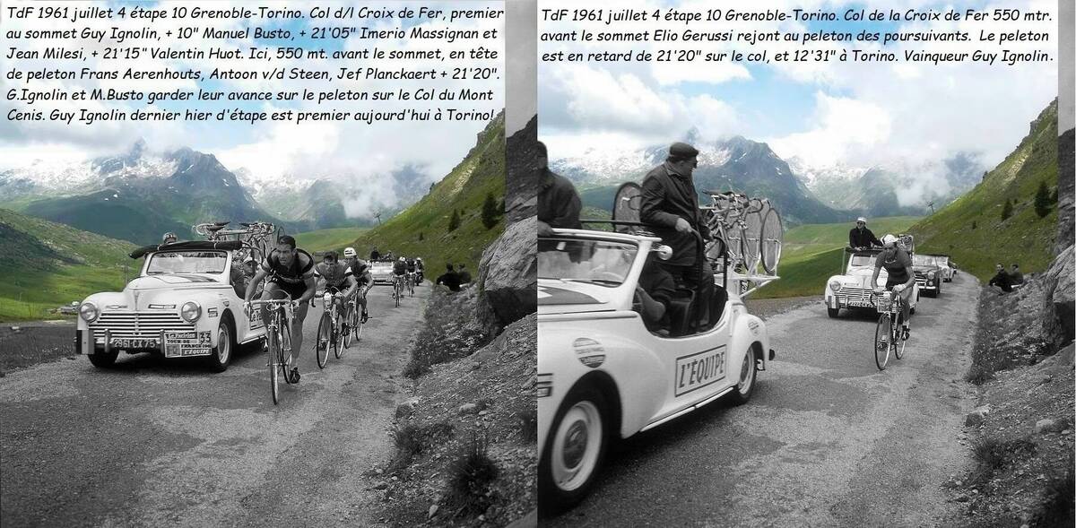
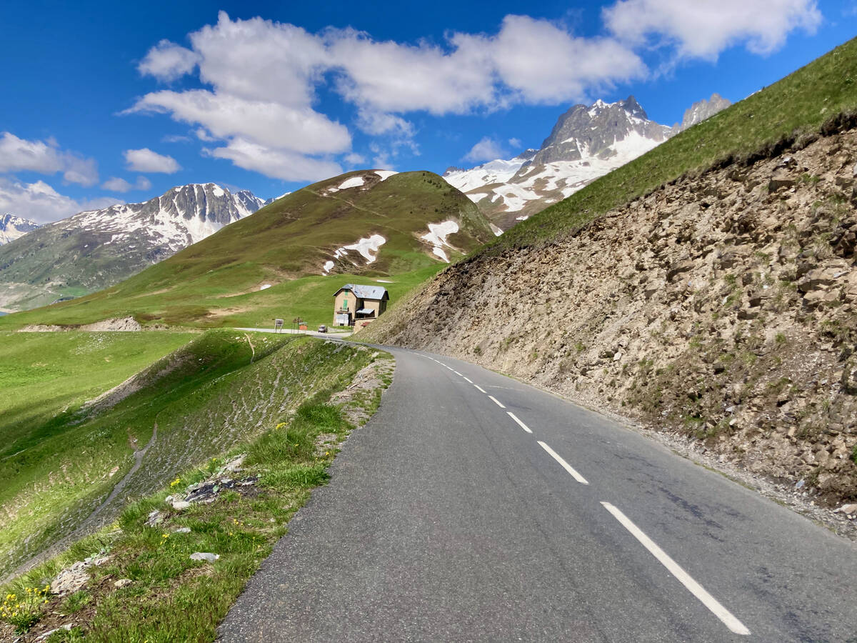
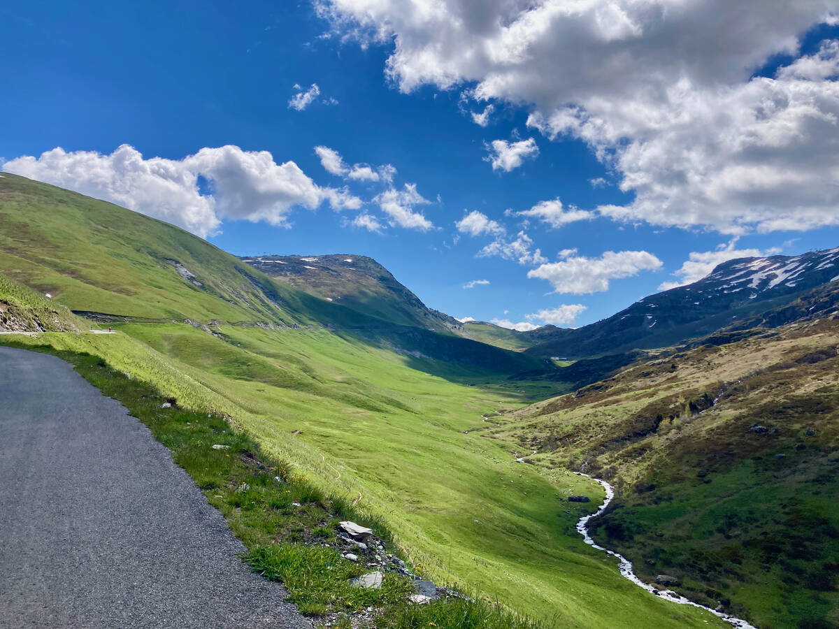
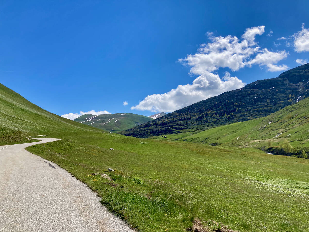
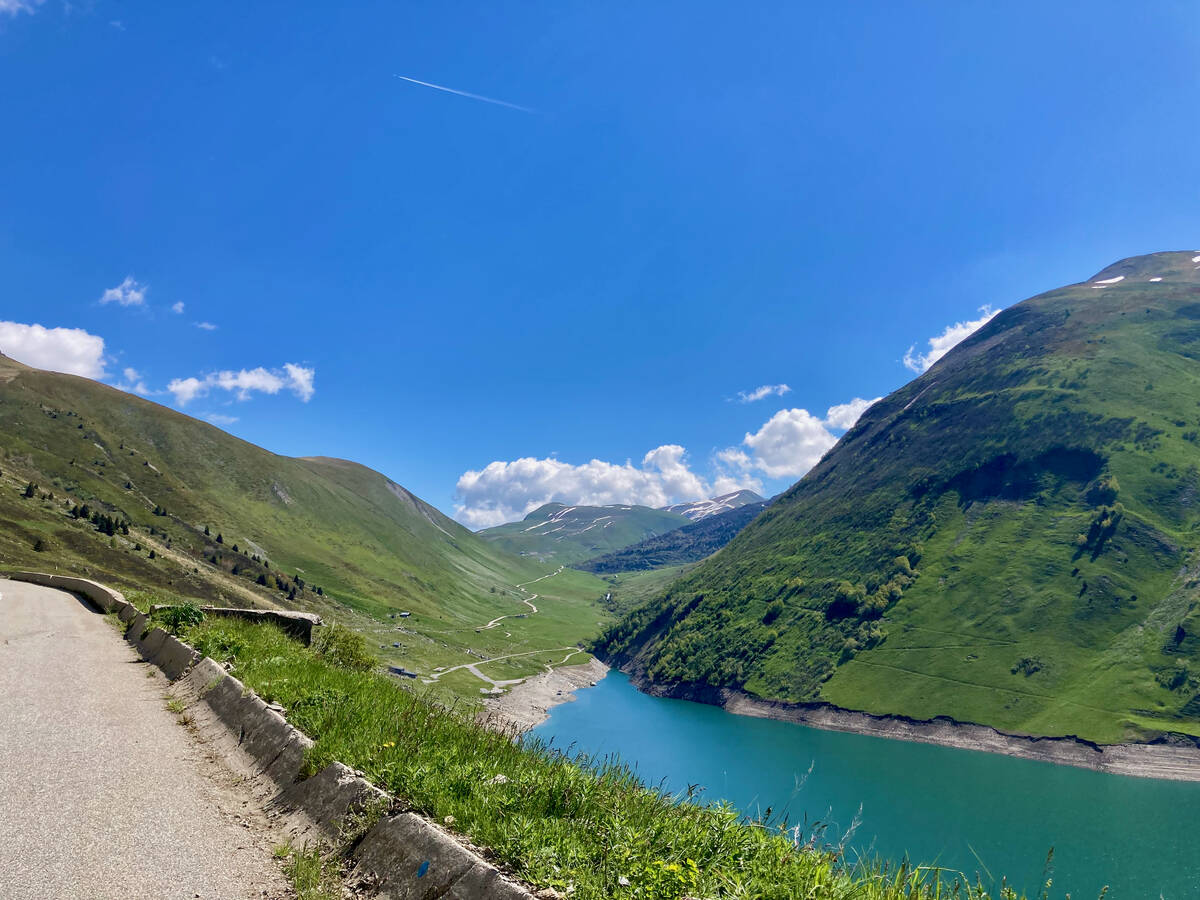
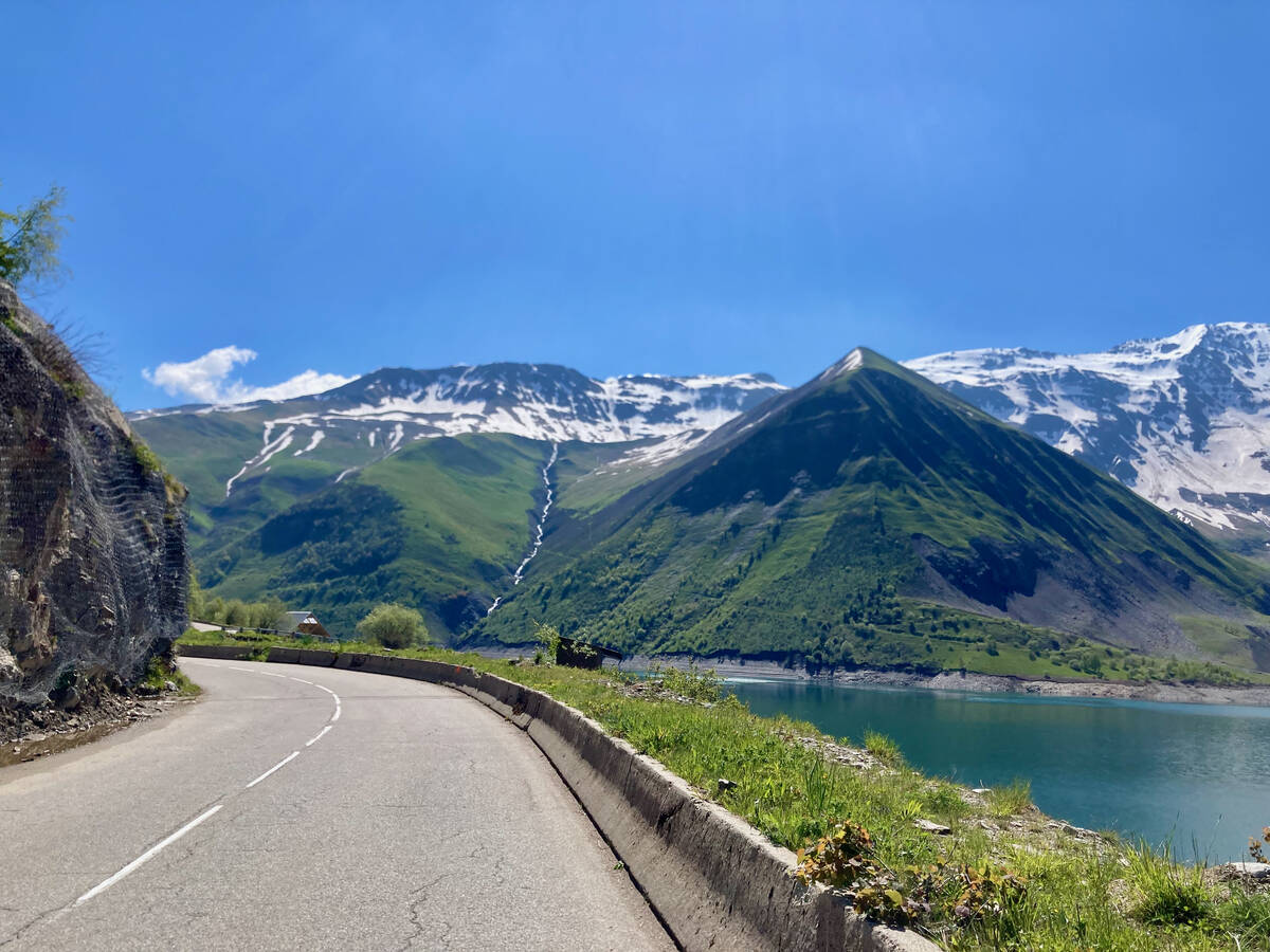
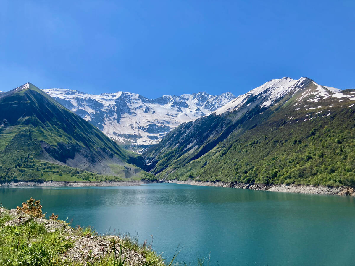
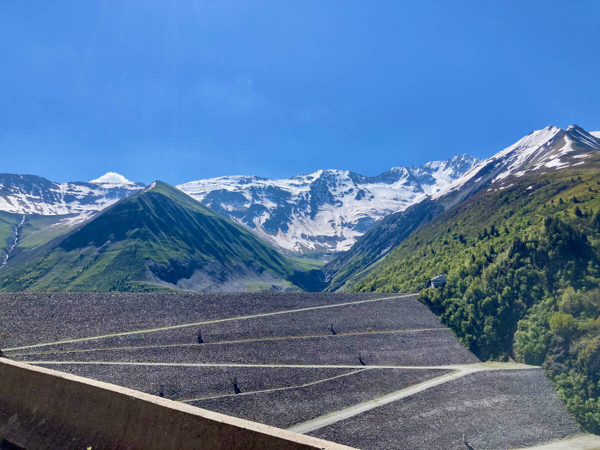
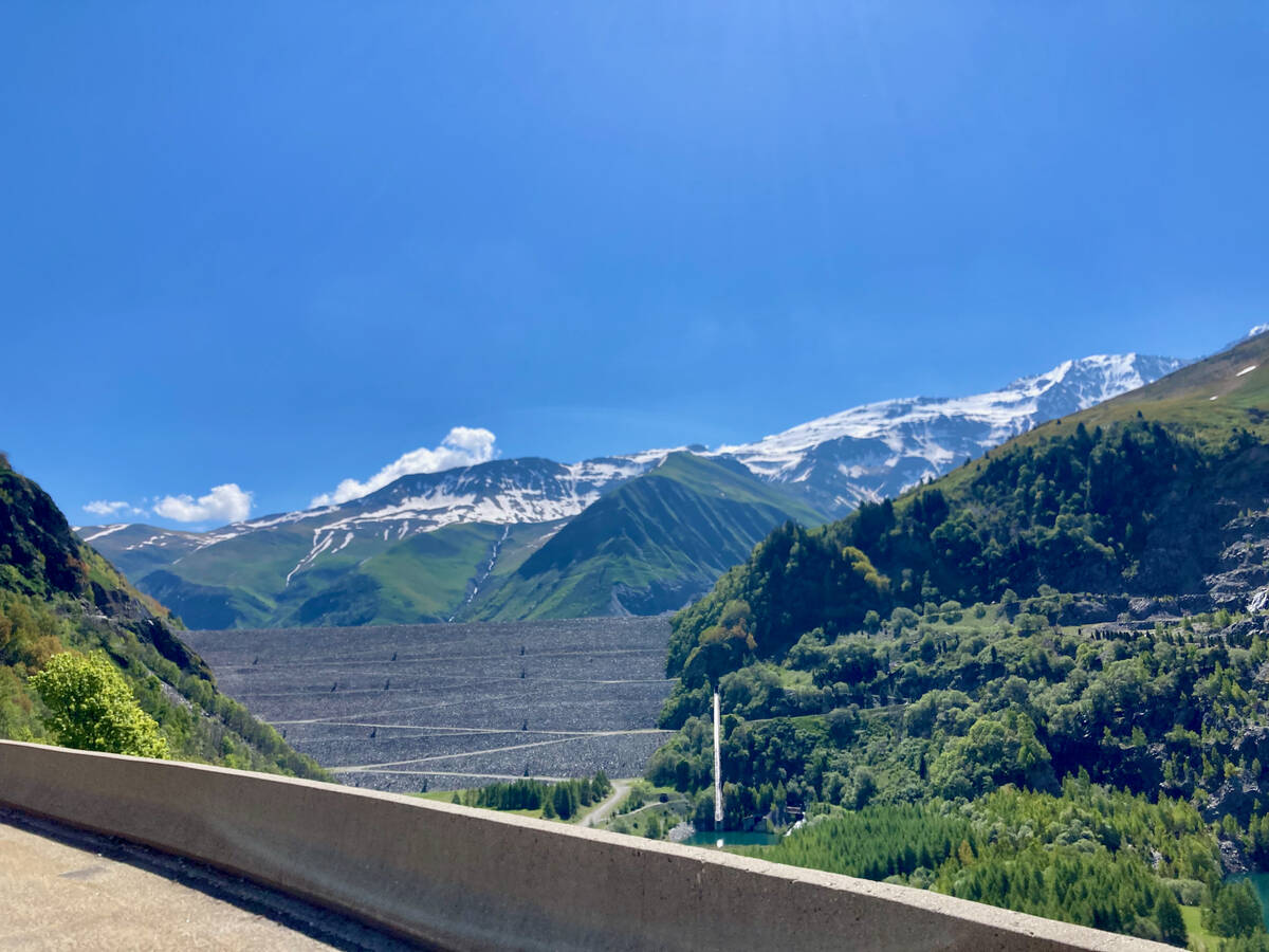
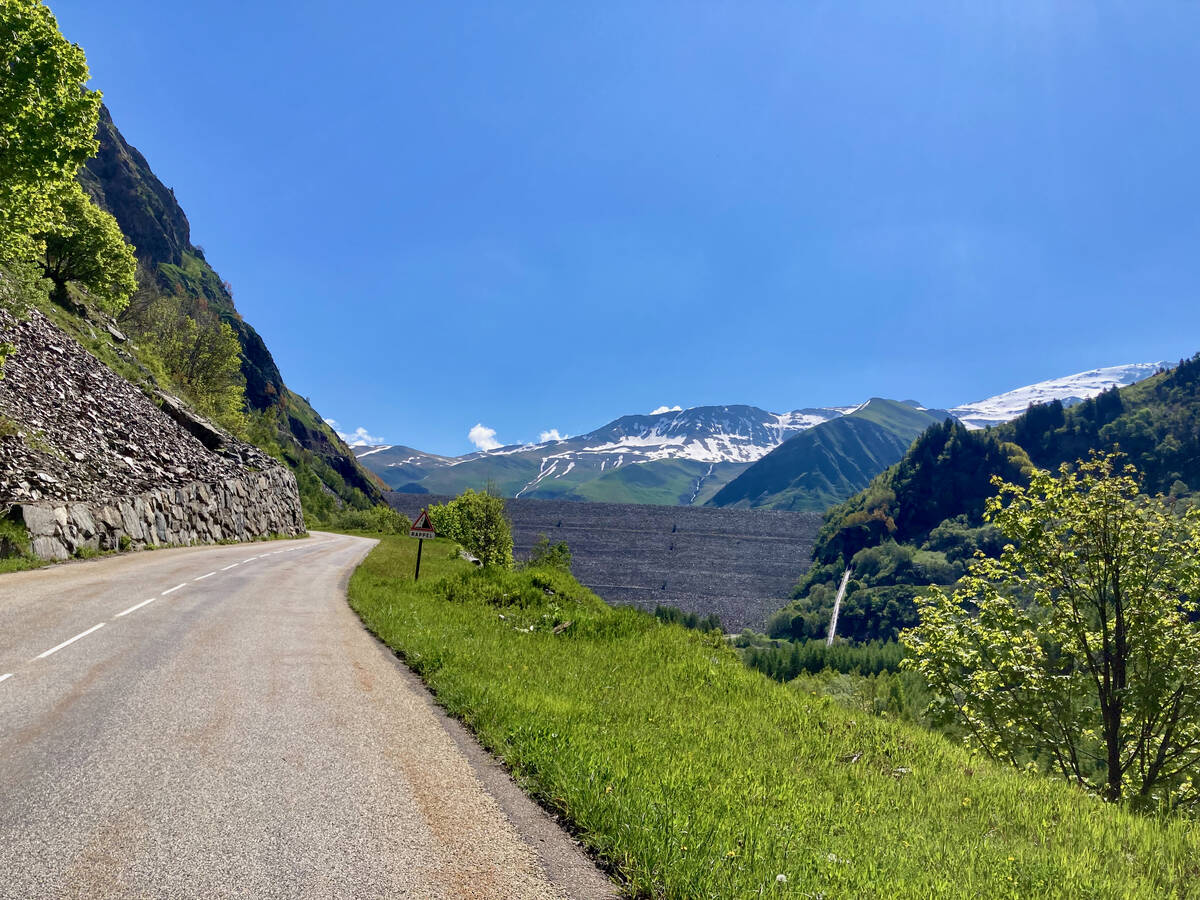
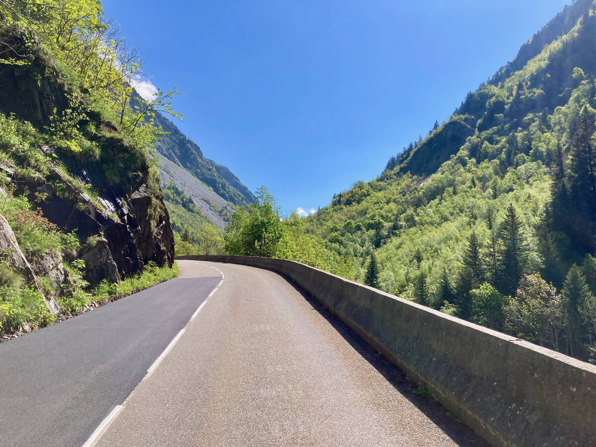
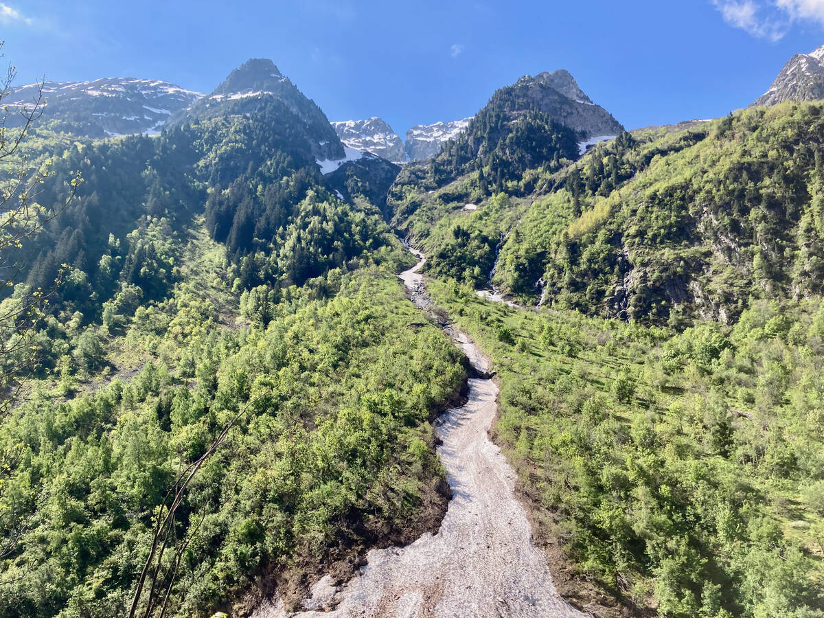
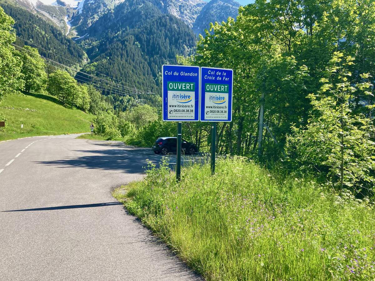
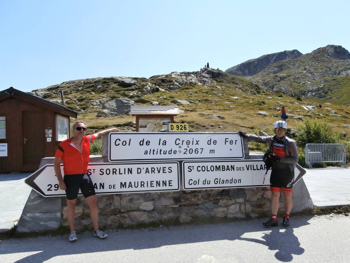
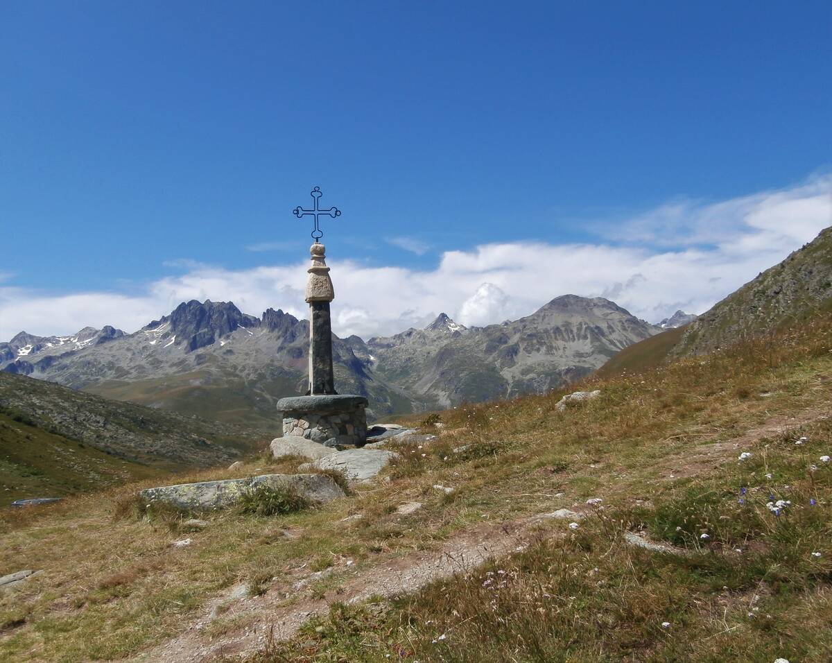
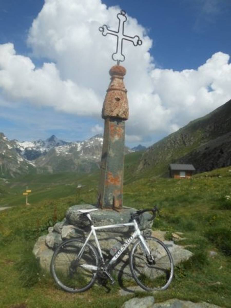
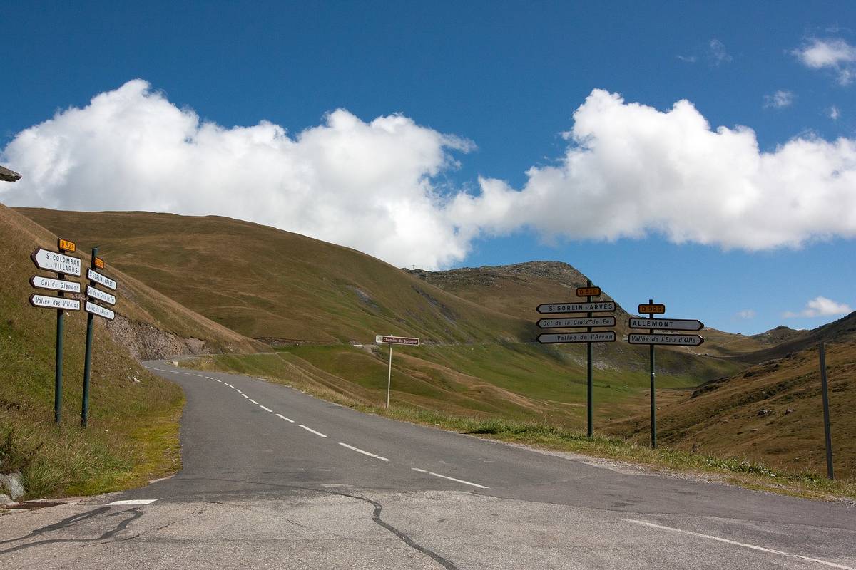
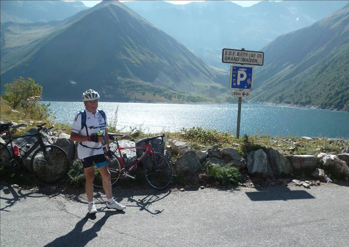
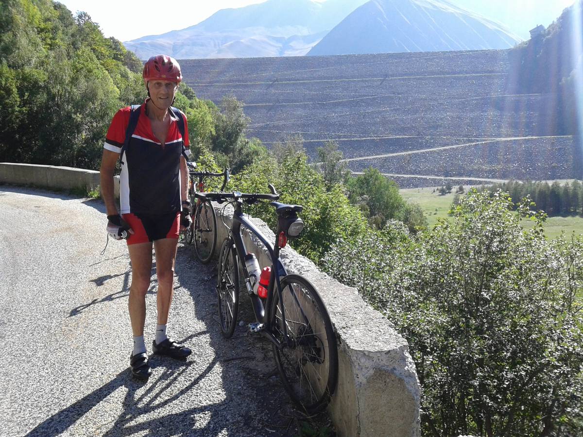
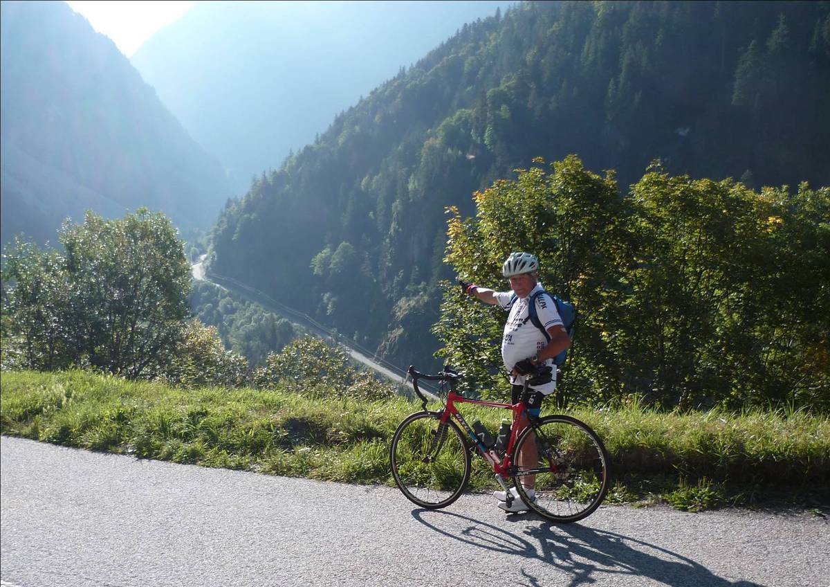
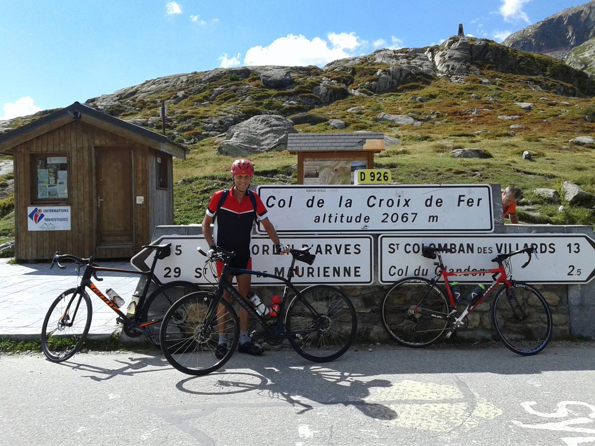
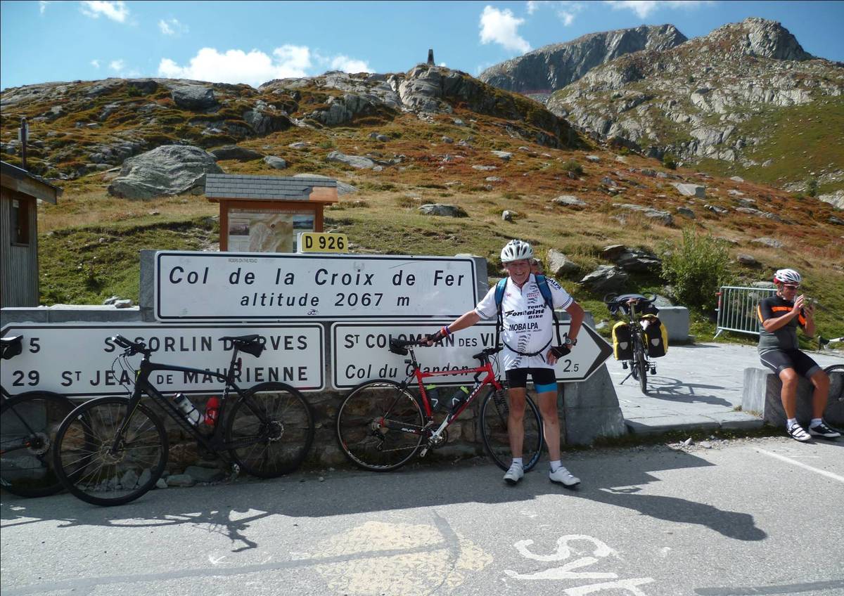
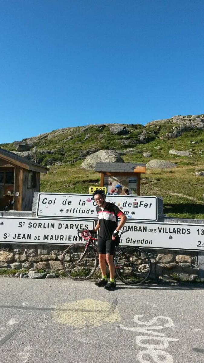
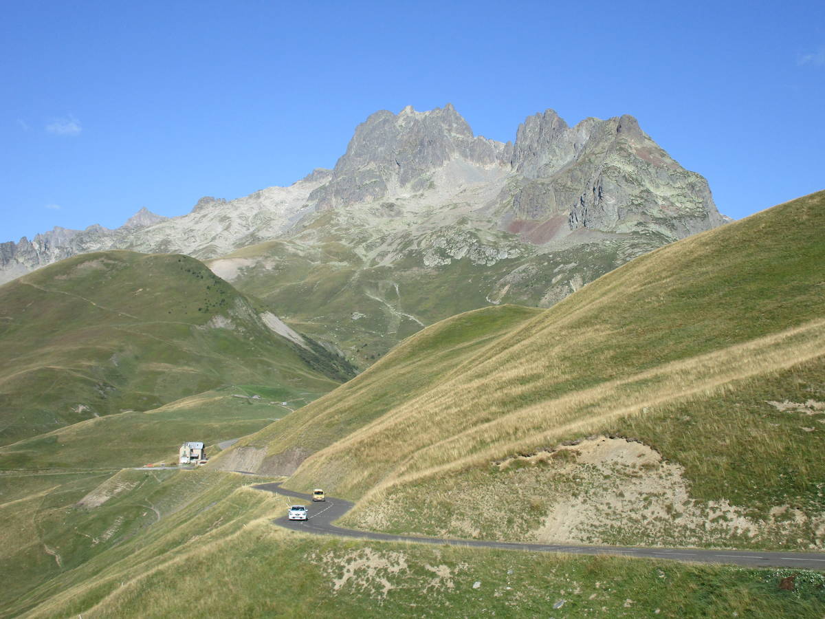
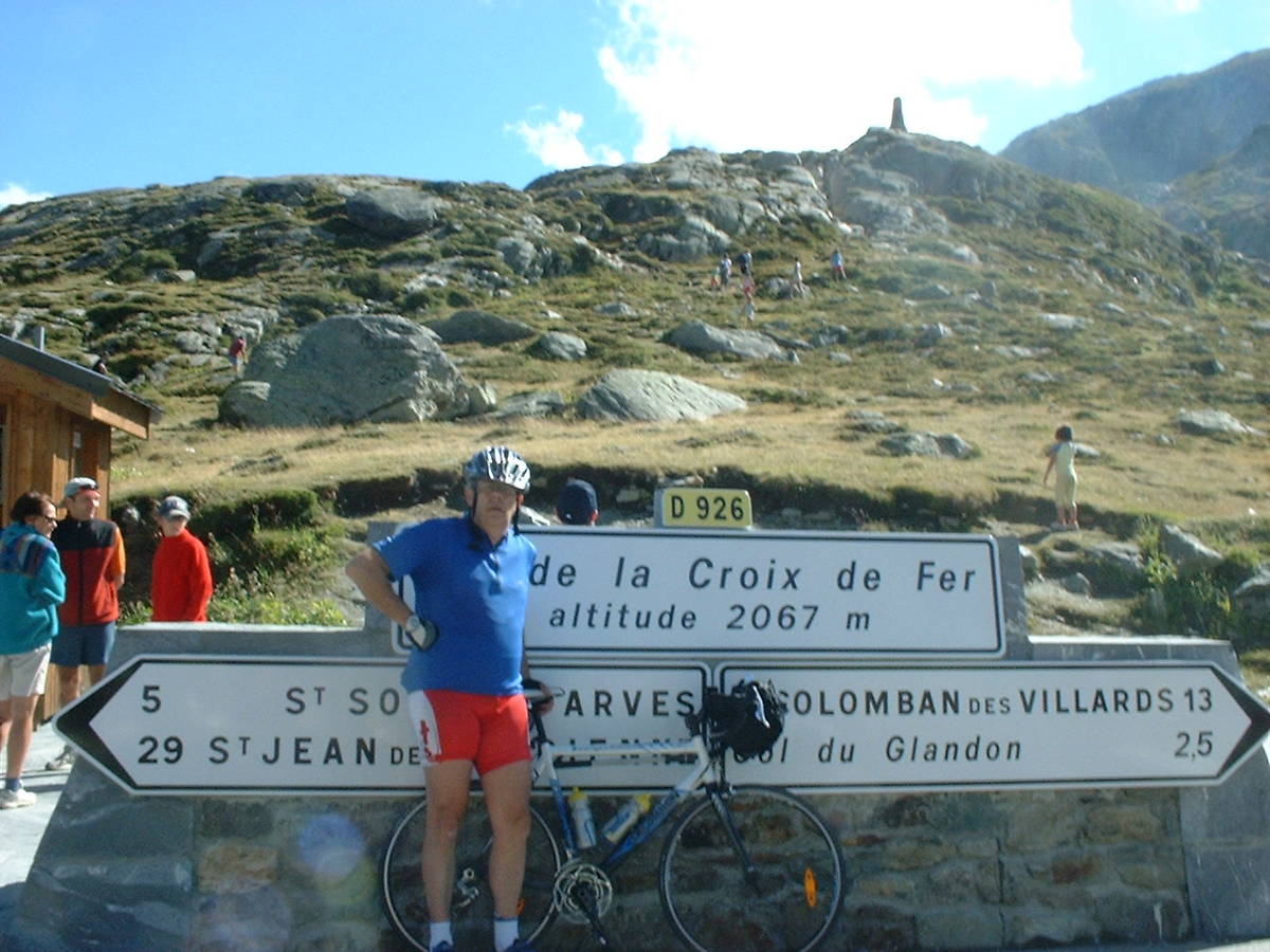
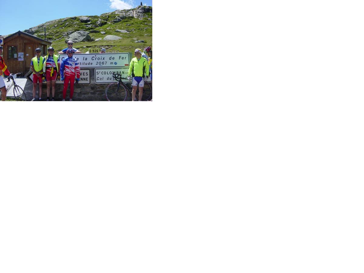
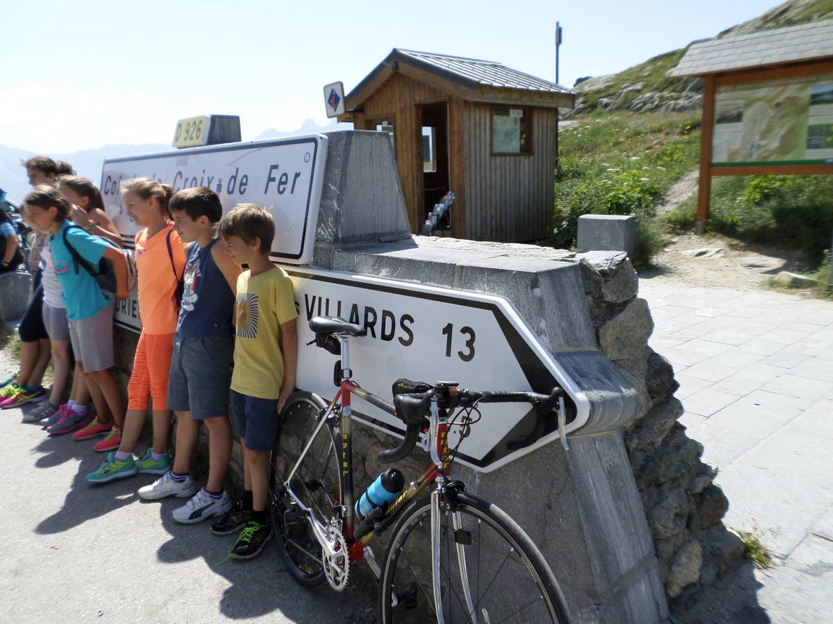
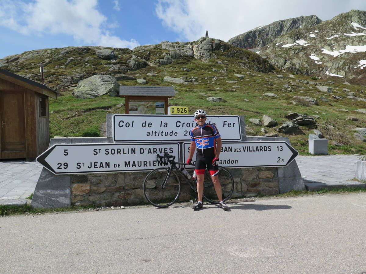
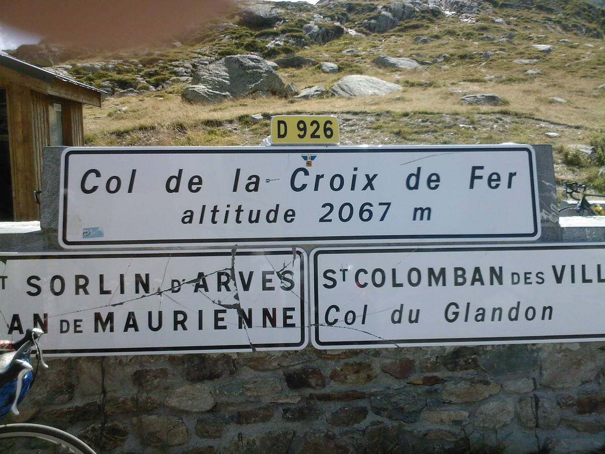
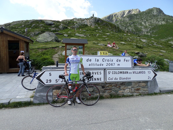
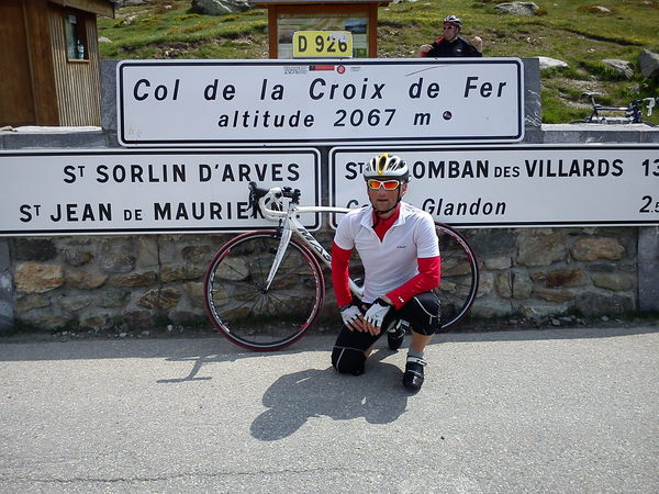
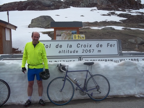
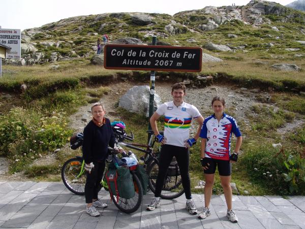
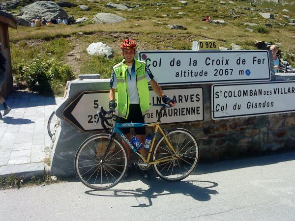
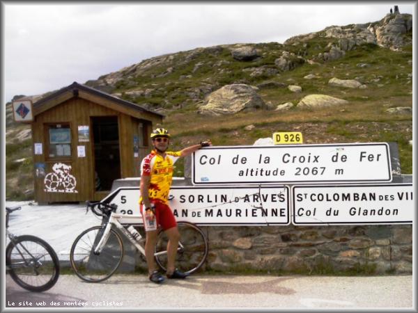
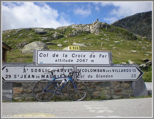
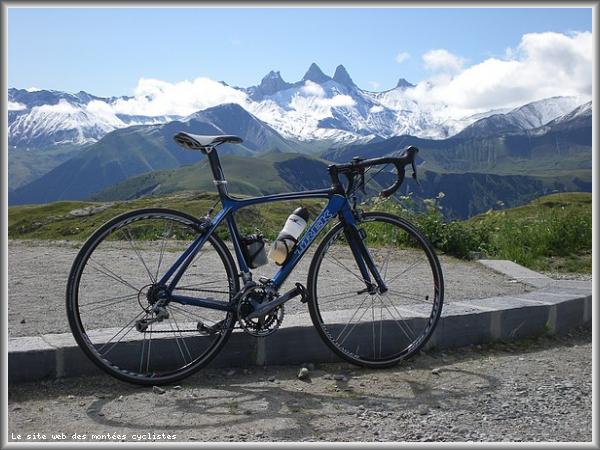
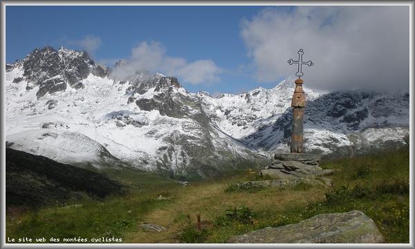
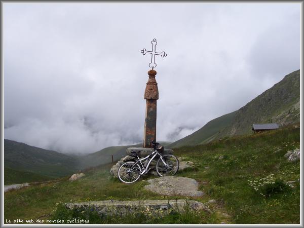
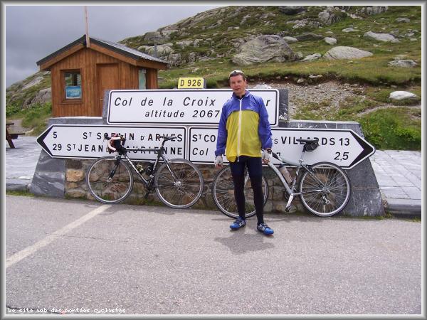
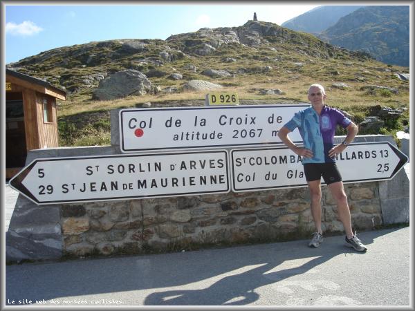
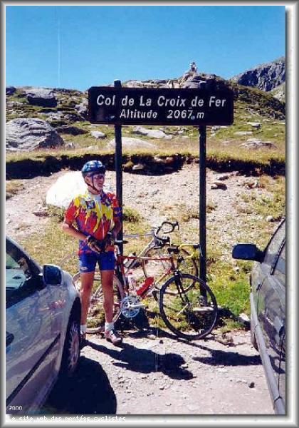
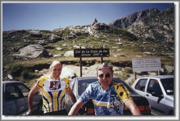
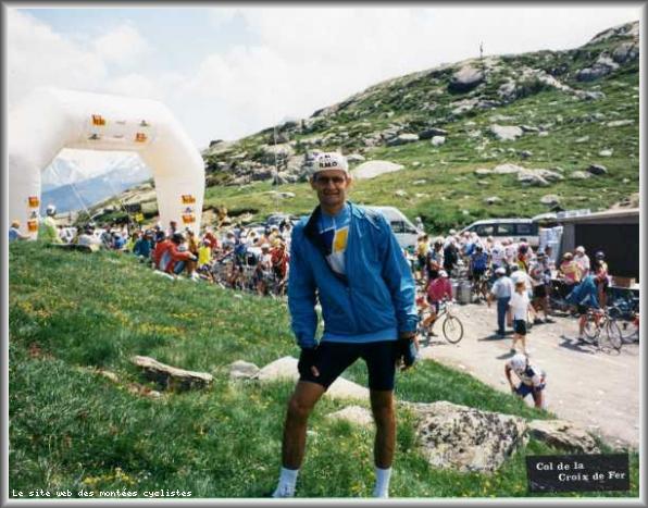
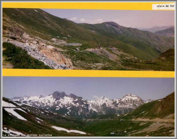
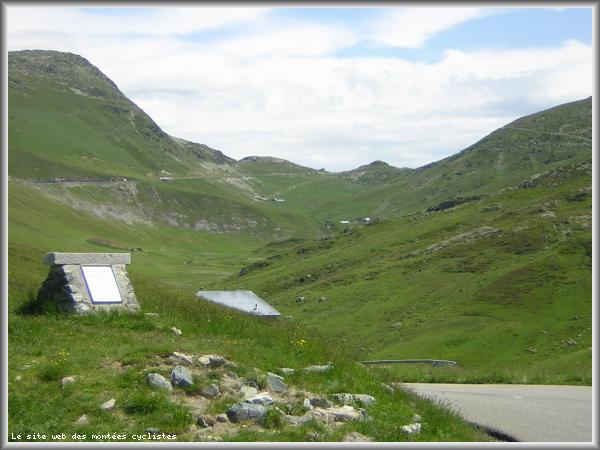
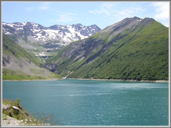
| Name : | Col de la Croix de Fer |
| Altitude : | 2064 m |
| Opening : |  Ouvert Ouvert |
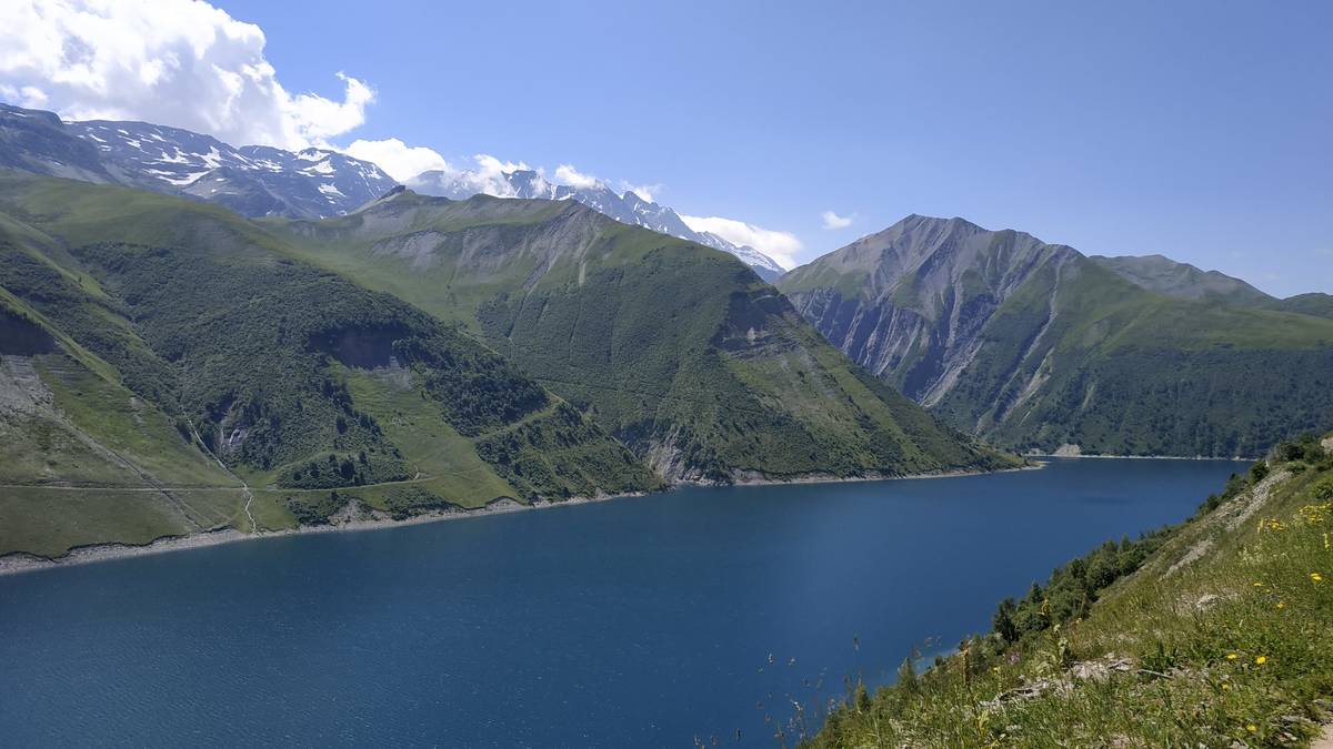
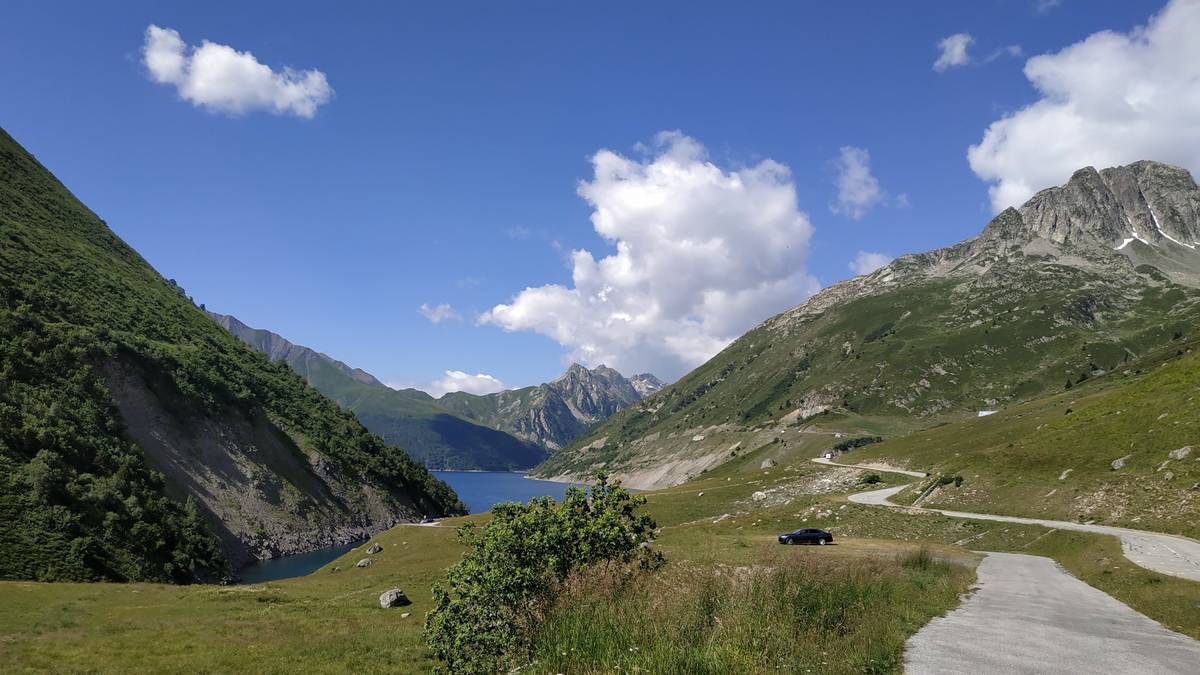
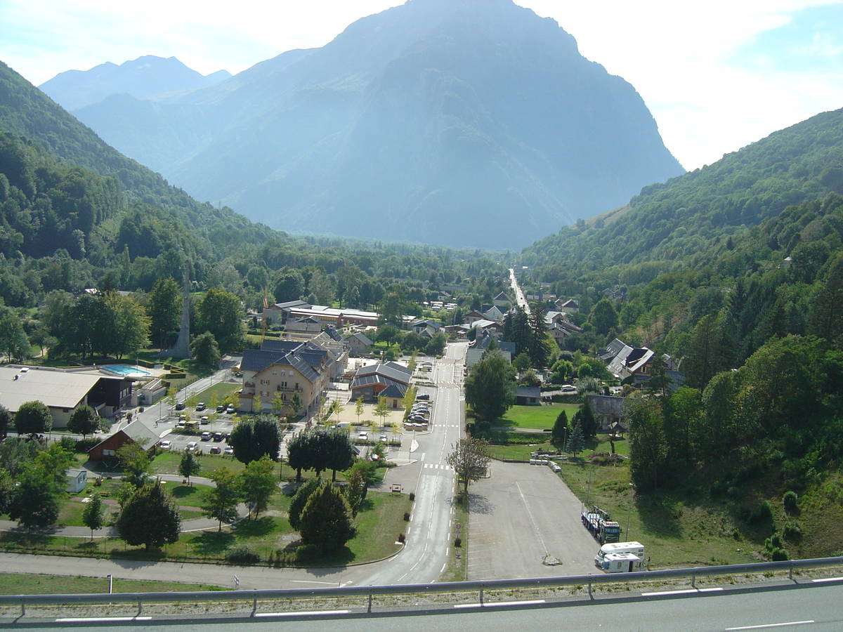
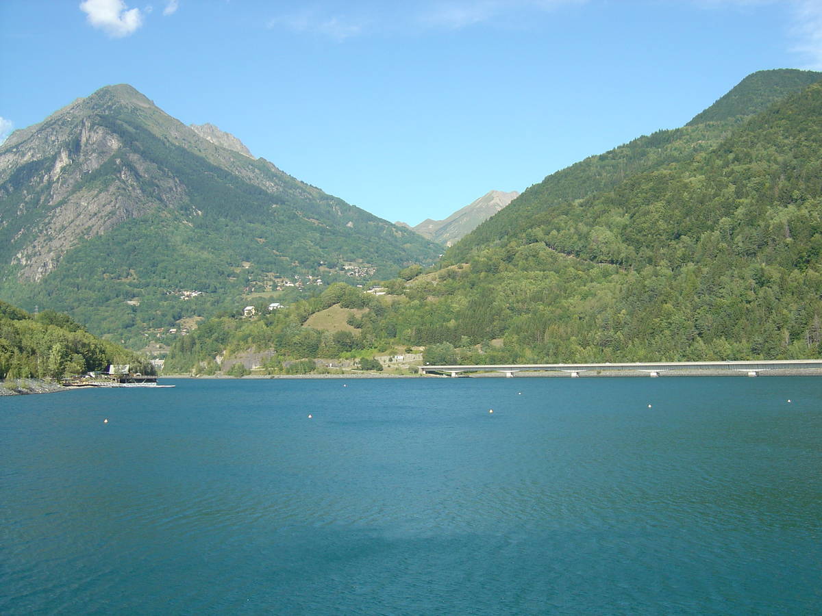
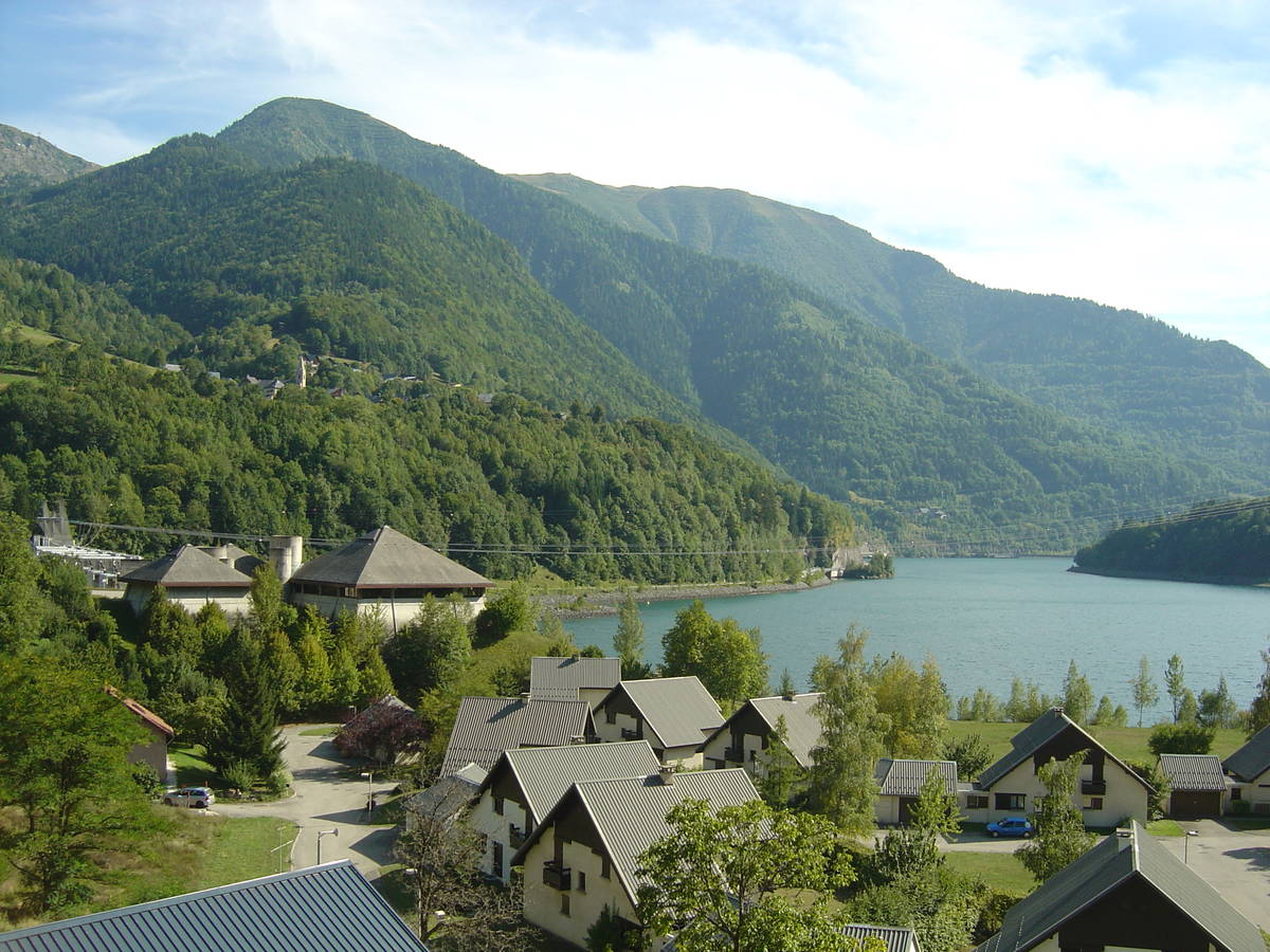
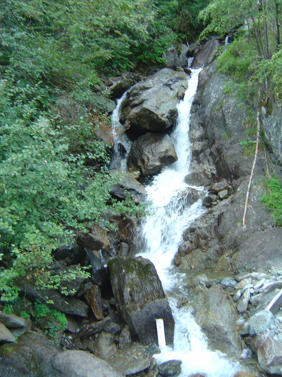
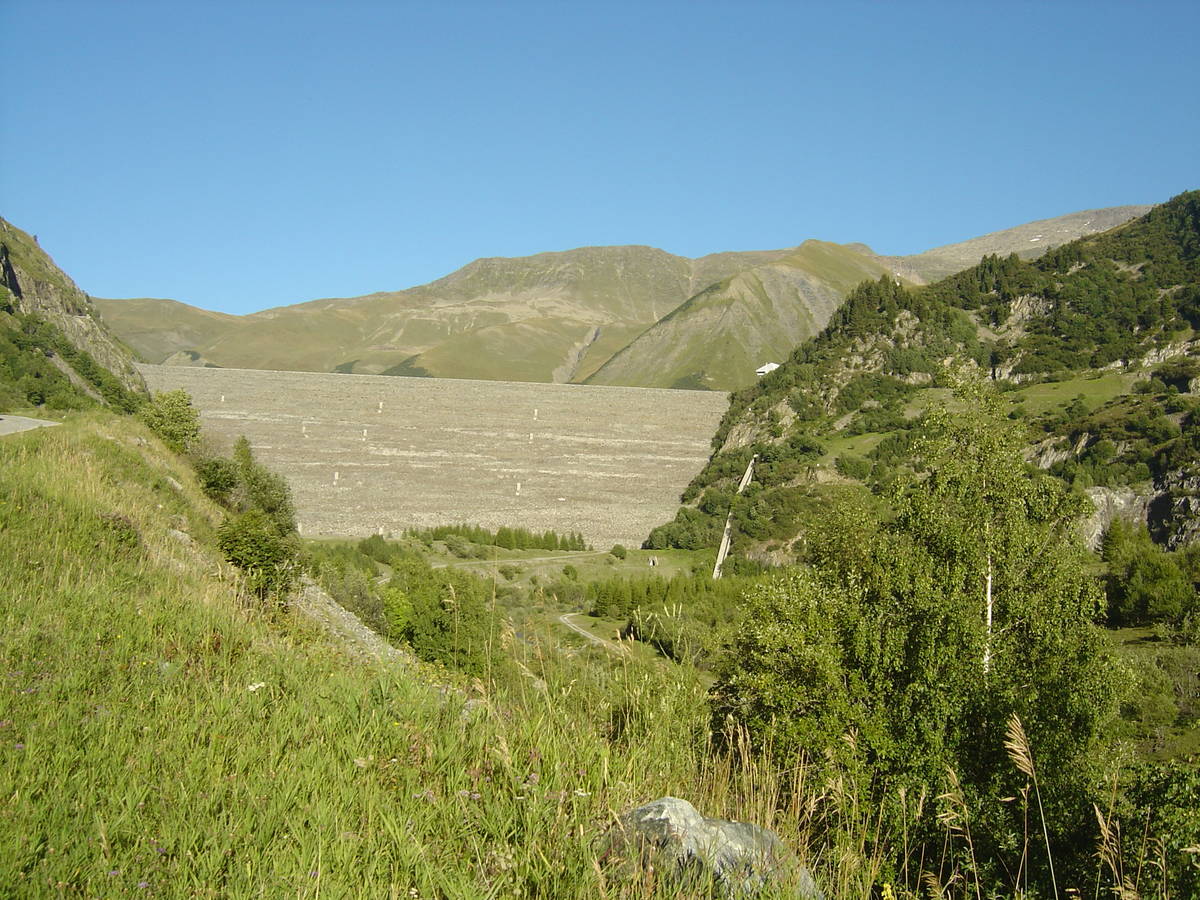
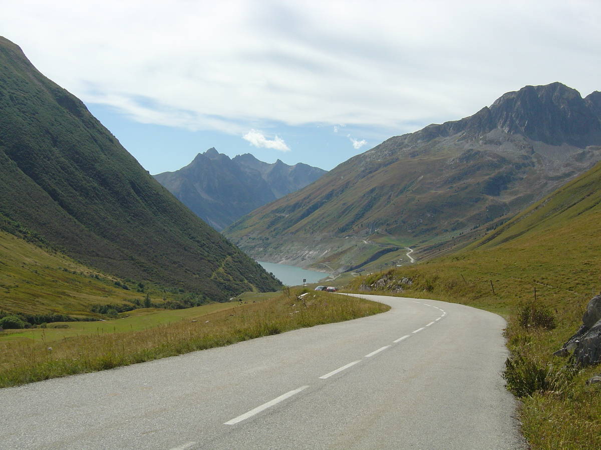
| Start : | Barrage du Verney |
| Length : | 27.60 km |
| Elevation gain : | 1292 m |
| % Avg : | 4.68% |
| % Max : | 11.8% |
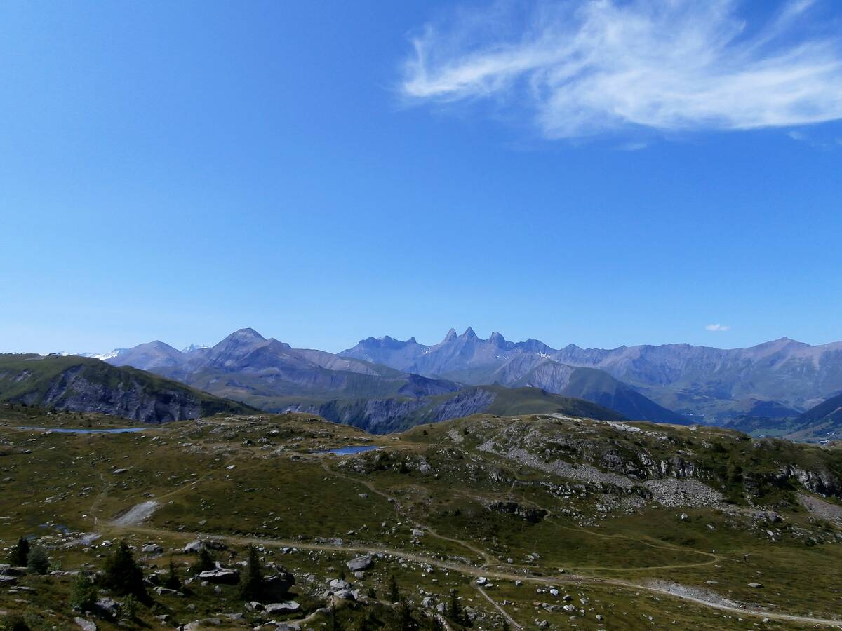
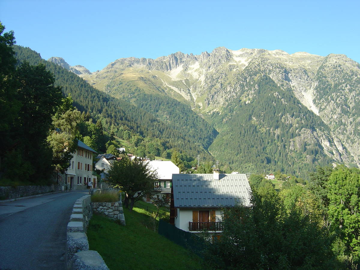
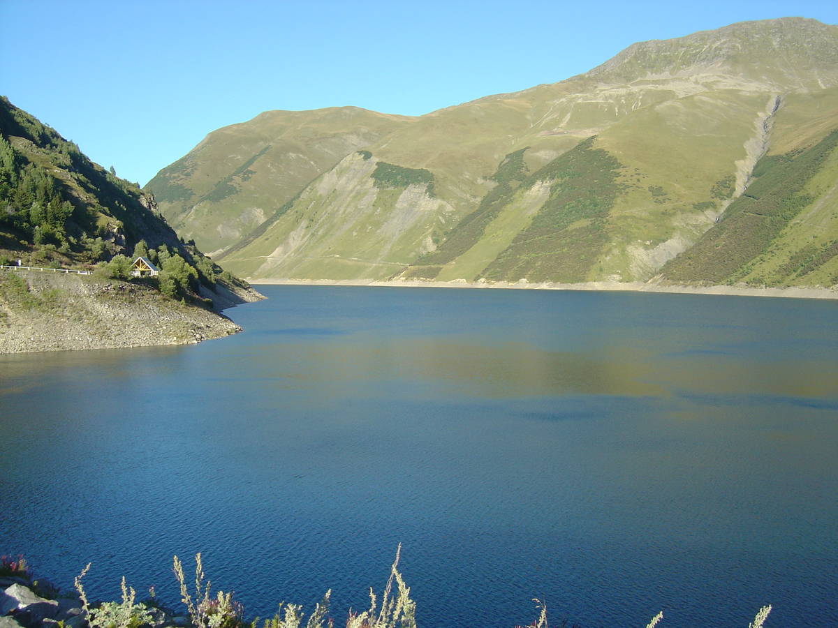
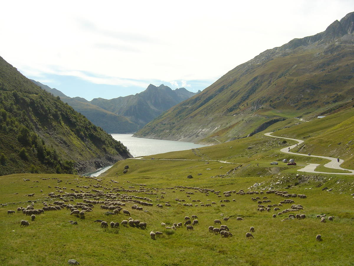
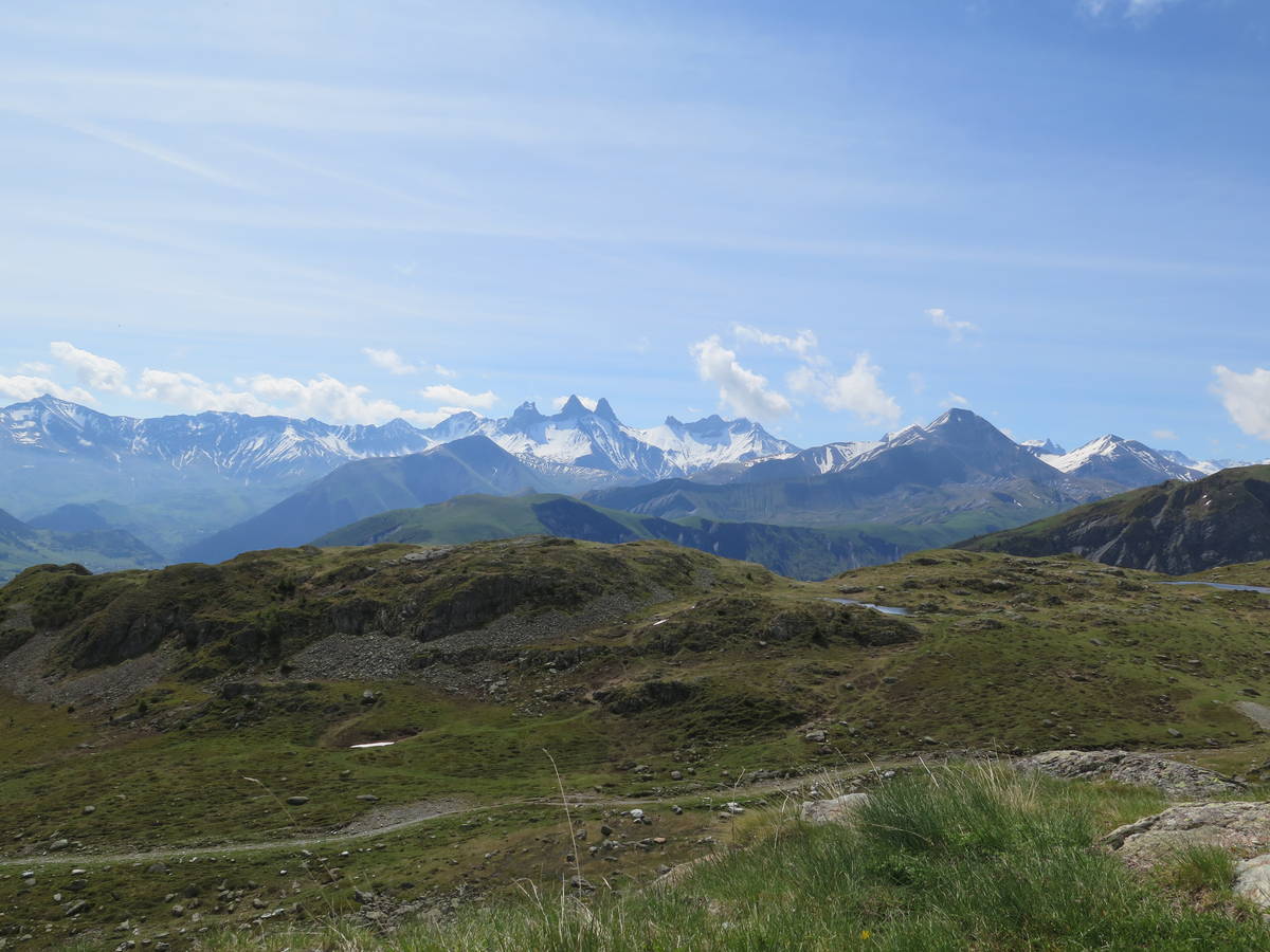
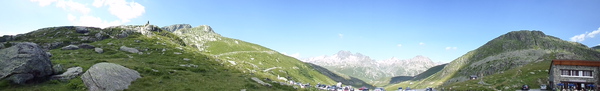
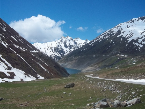
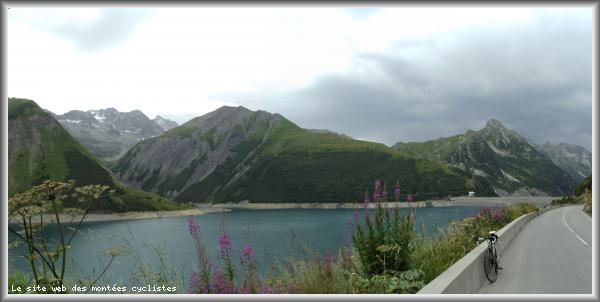
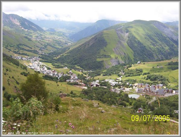
| Mountain range : | Arves and Grandes Rousses, France |
There's other climb of this summit
Map
Profile

 This climb is reserved for cyclists on 01/07/2025 : This climb is reserved for cyclists on 02/07/2024 : This climb is reserved for cyclists on 04/07/2023 : This climb is reserved for cyclists on 05/07/2022 : This climb is reserved for cyclists on 06/07/2021 : This climb is reserved for cyclists on 02/07/2019 :