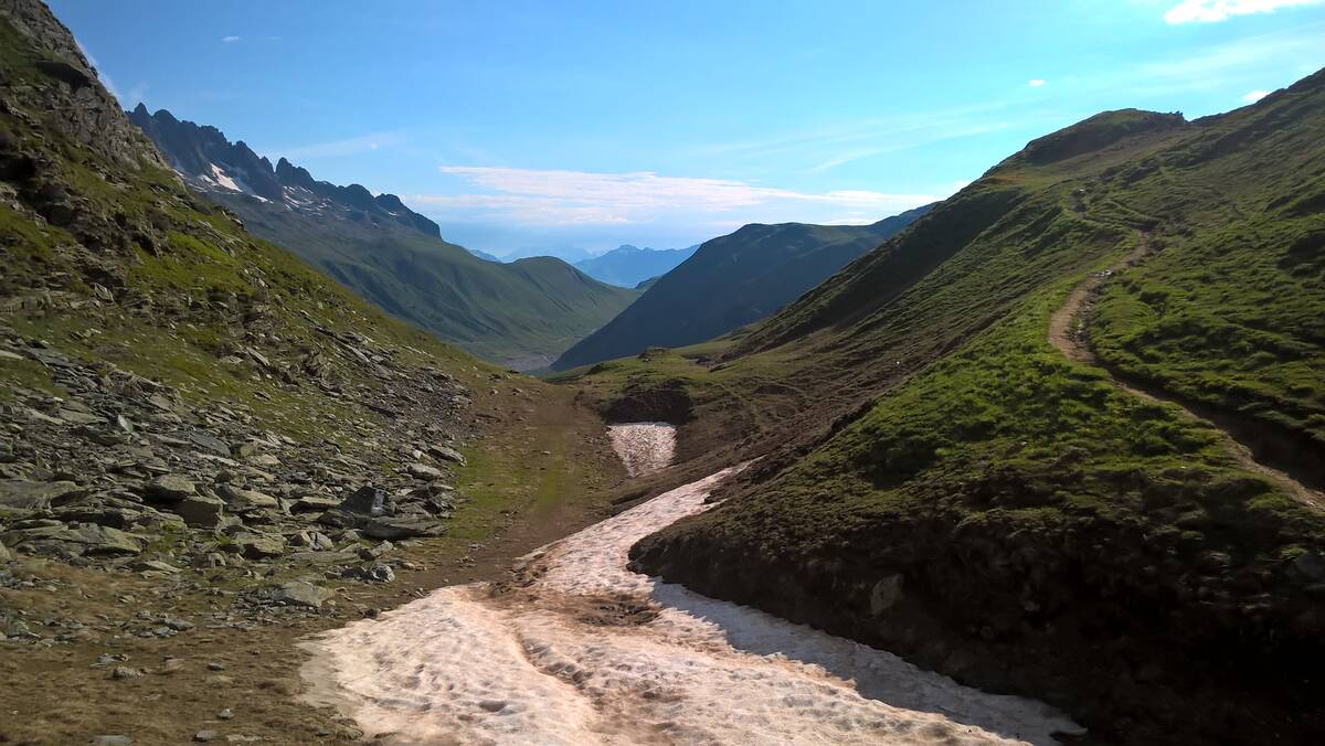
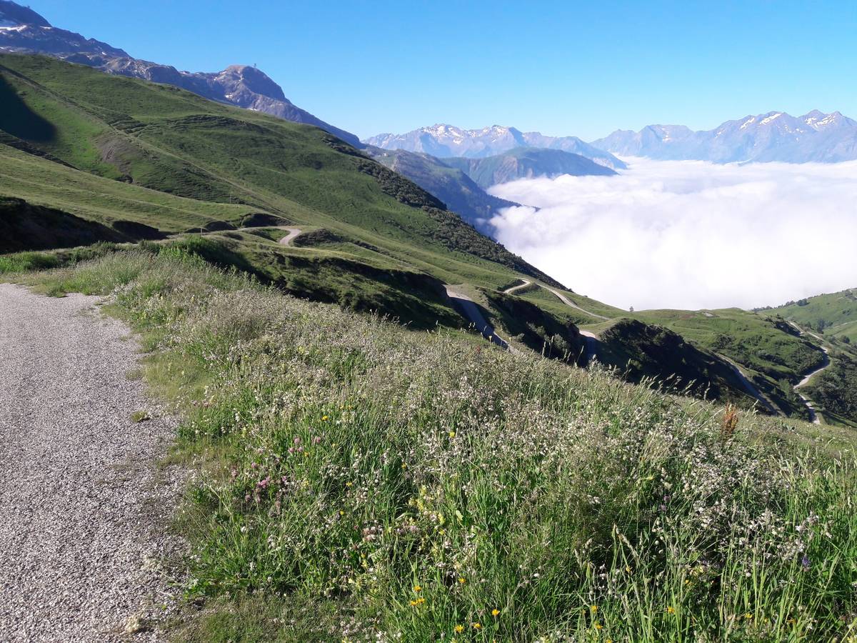
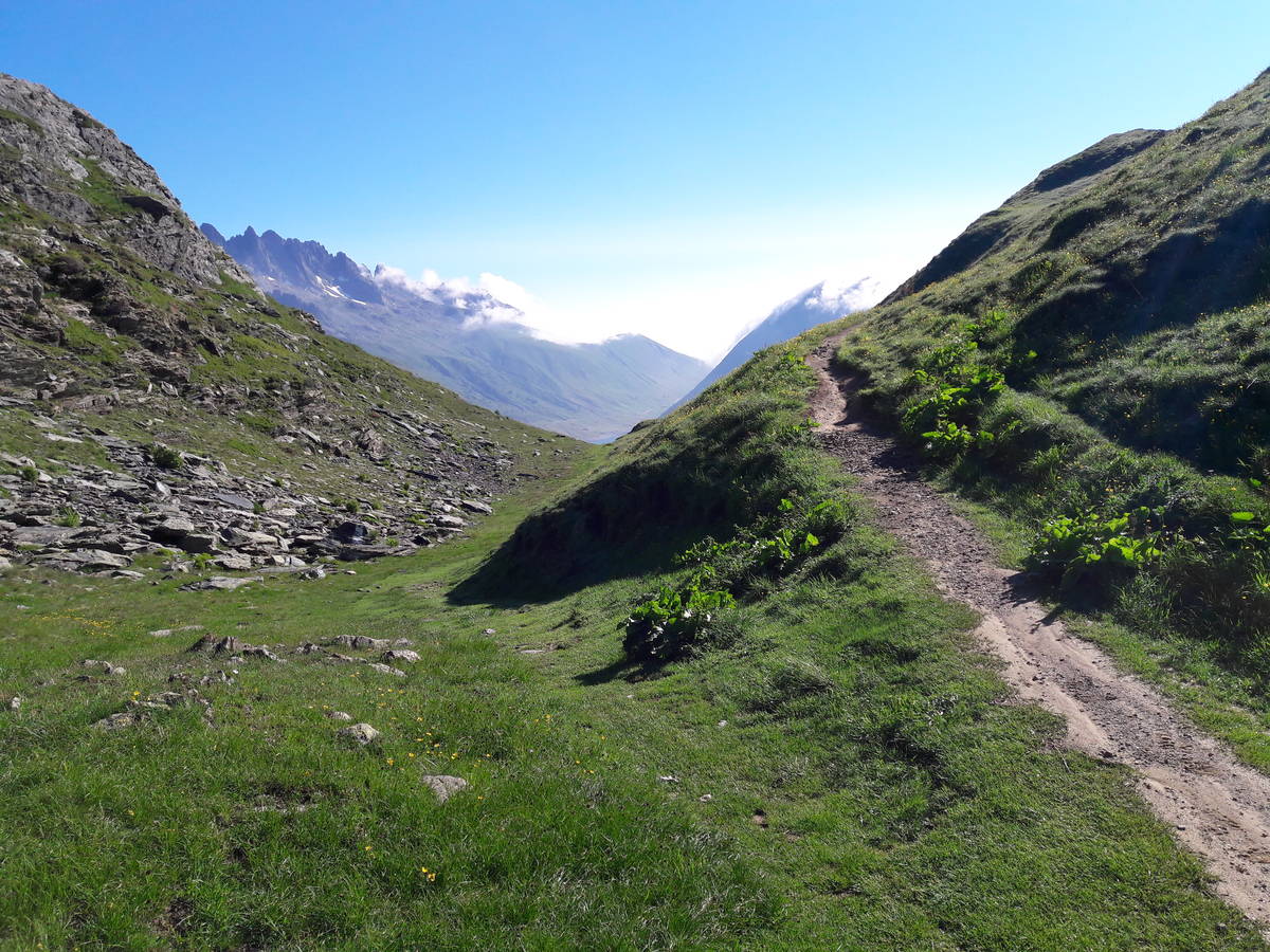
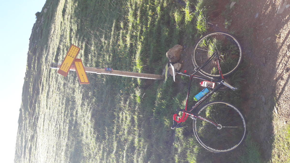
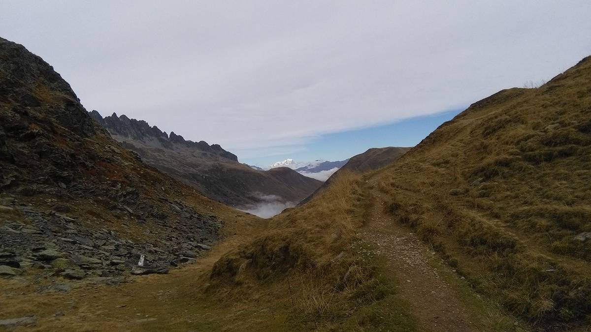
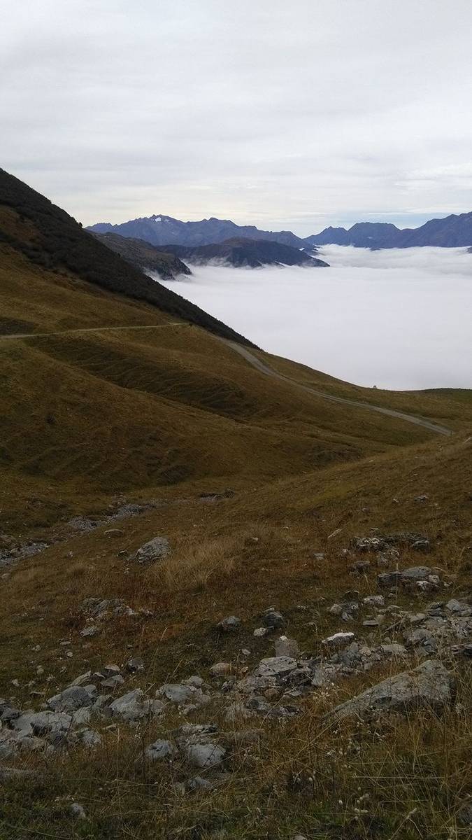
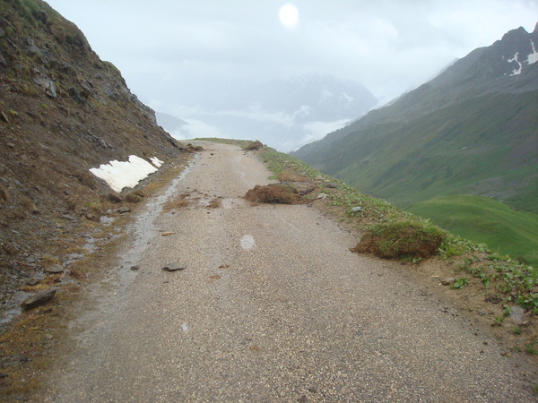
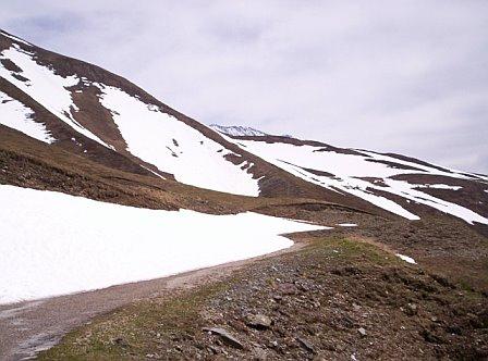
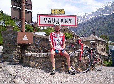
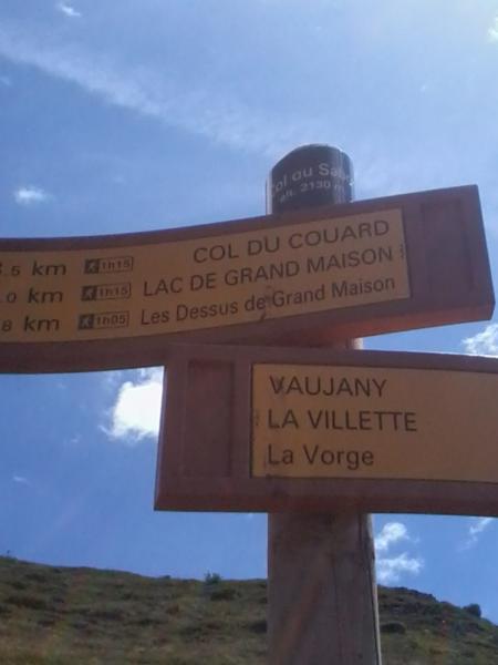
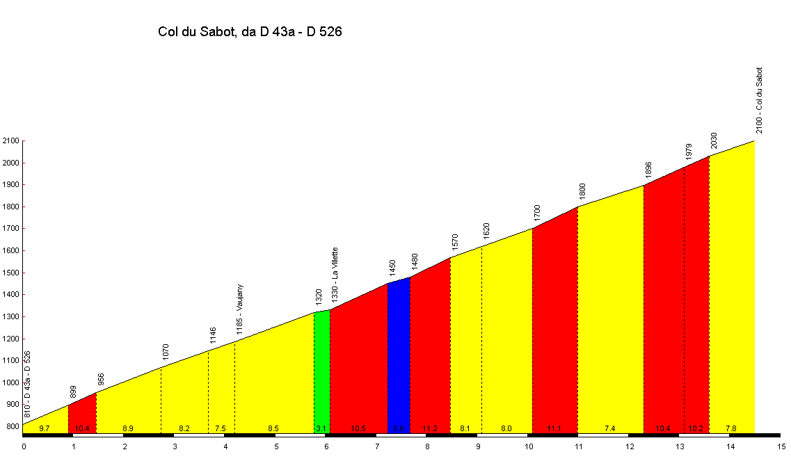
Information
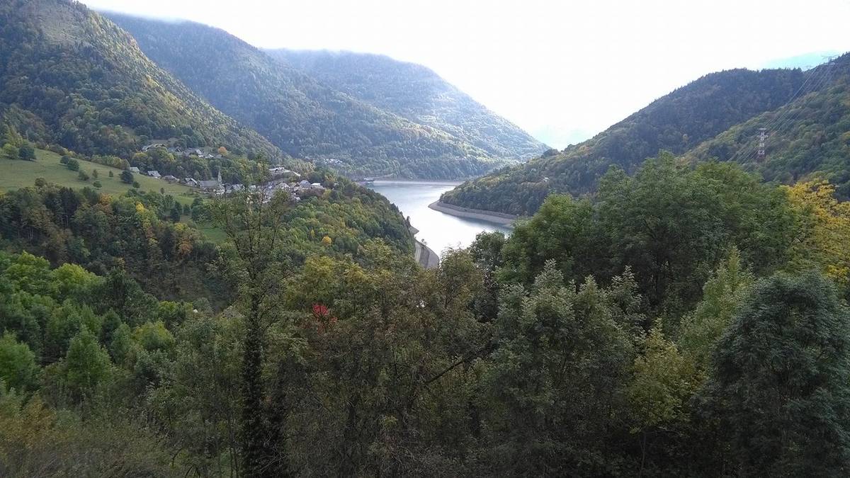
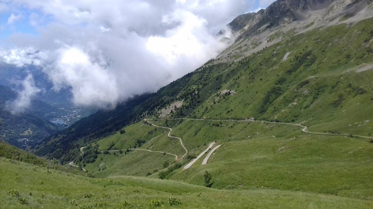
| Name : | Col du Sabot |
| Altitude : | 2100 m |
| Start : | Barrage du Verney |
| Length : | 14.50 km |
| Elevation gain : | 1290 m |
| % Avg : | 8.9% |
| % Max : | 12.0% |
| Mountain range : | Arves and Grandes Rousses, France |
Map
Profile
 This climb is reserved for cyclists on 15/07/2025 : This climb is reserved for cyclists on 23/07/2024 : This climb is reserved for cyclists on 01/08/2023 : This climb is reserved for cyclists on 26/07/2022 : This climb is reserved for cyclists on 27/07/2021 : This climb is reserved for cyclists on 28/07/2020 : This climb is reserved for cyclists on 30/07/2019 :