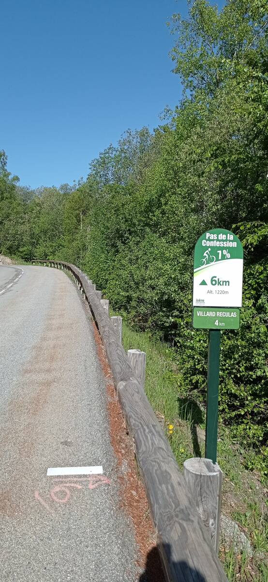
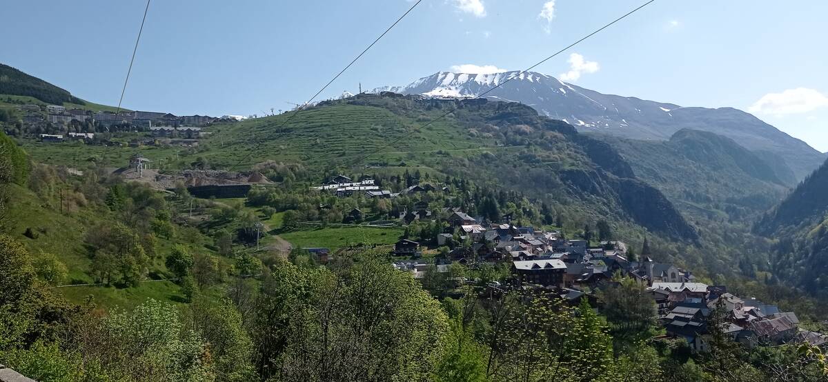
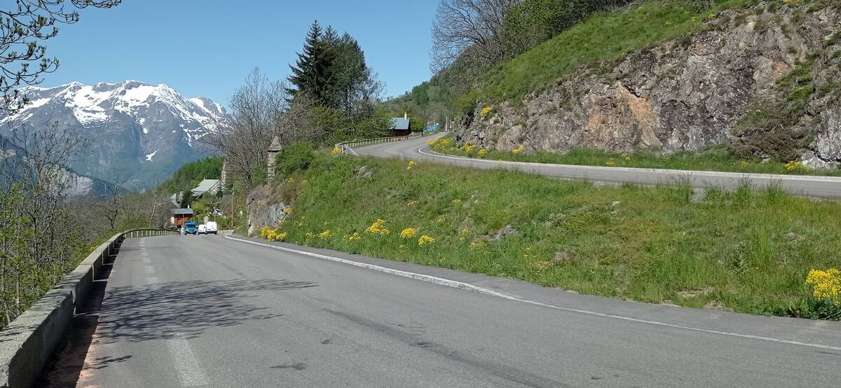
Information
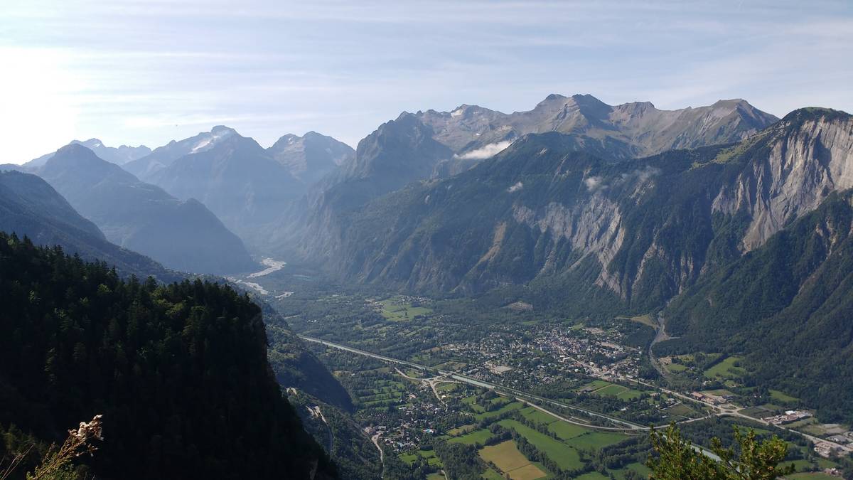
| Name : | Station de l'Alpe d'Huez |
| Altitude : | 1840 m |
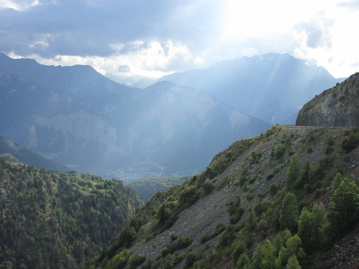
| Start : | Rochetaille |
| Length : | 22.60 km |
| Elevation gain : | 1104 m |
| % Avg : | 4.88% |
| % Max : | 8.8% |
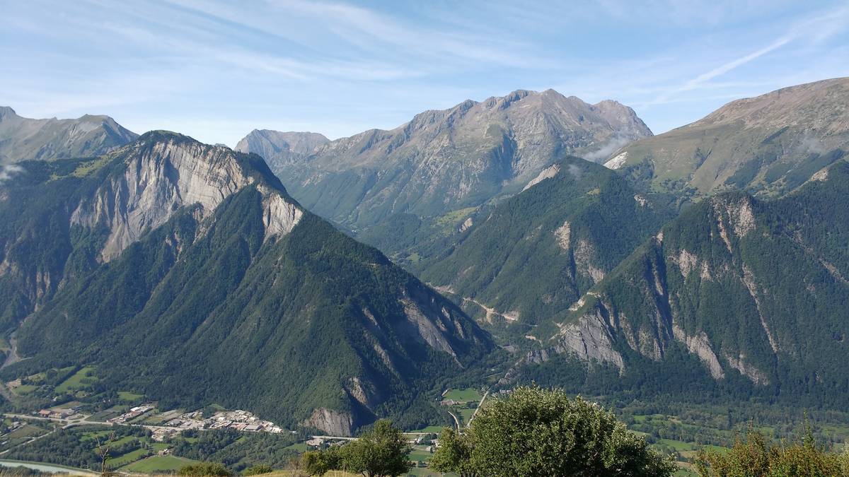
| Mountain range : | Arves and Grandes Rousses, France |
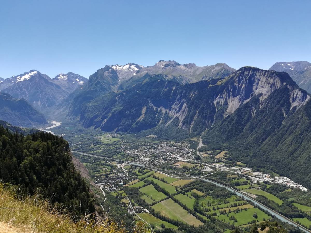
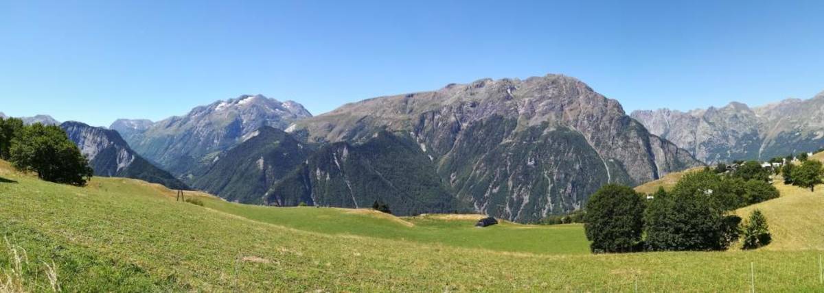
There's other climb of this summit
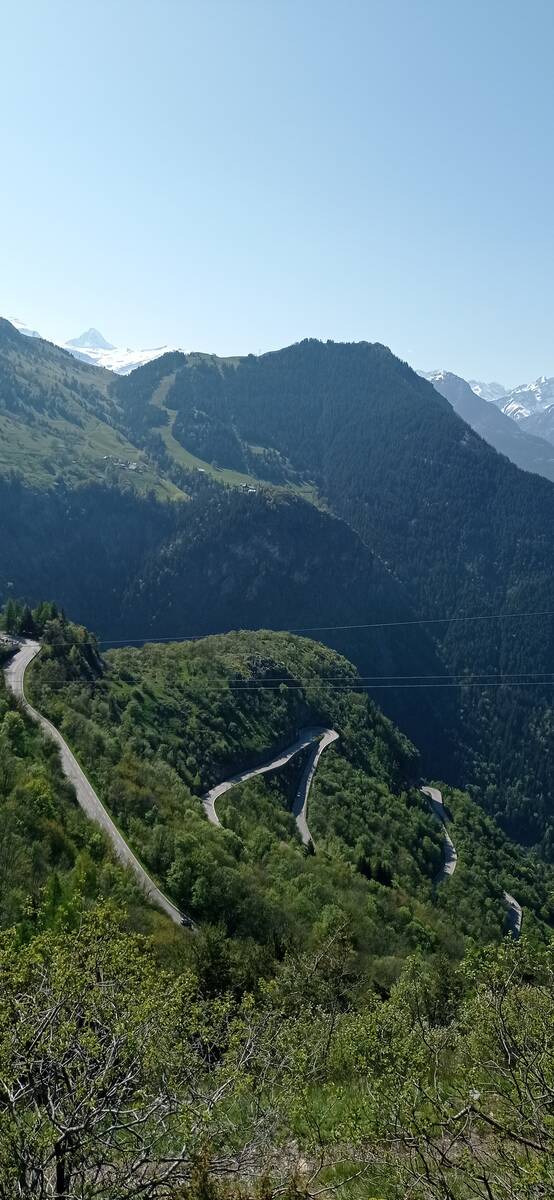
Map
Profile

 This climb is reserved for cyclists on 27/08/2025 : This climb is reserved for cyclists on 27/08/2024 :