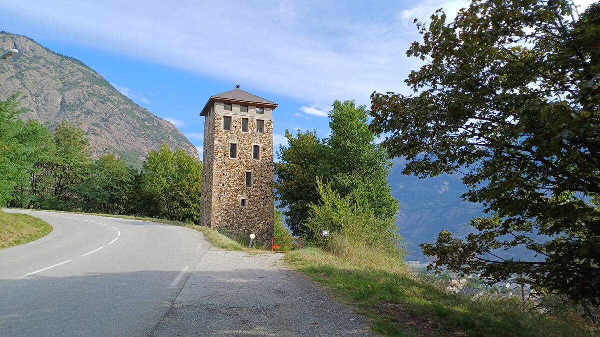
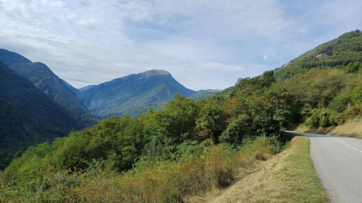
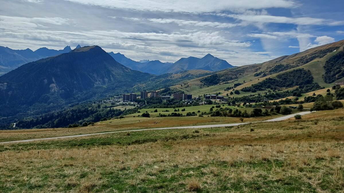
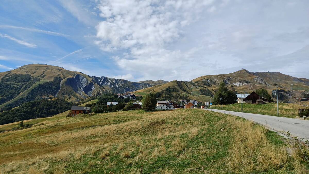
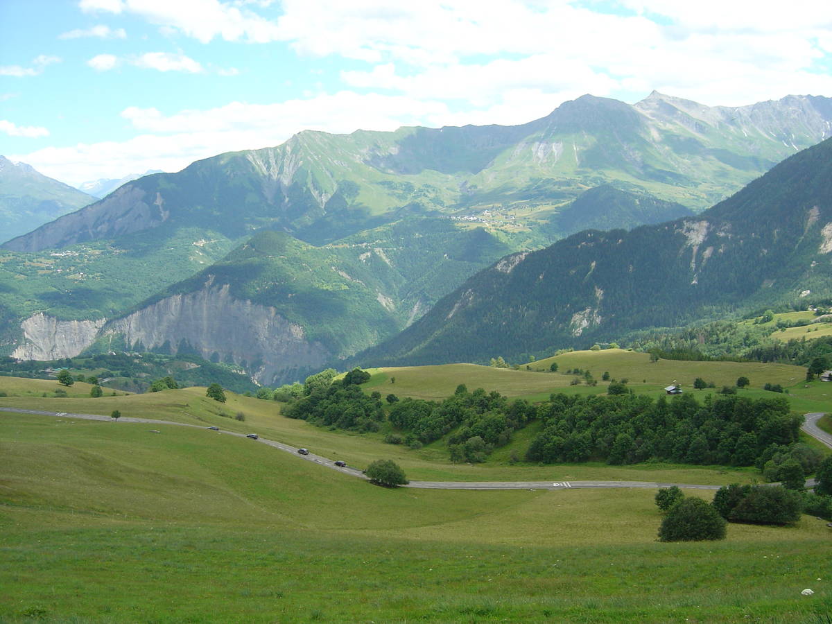
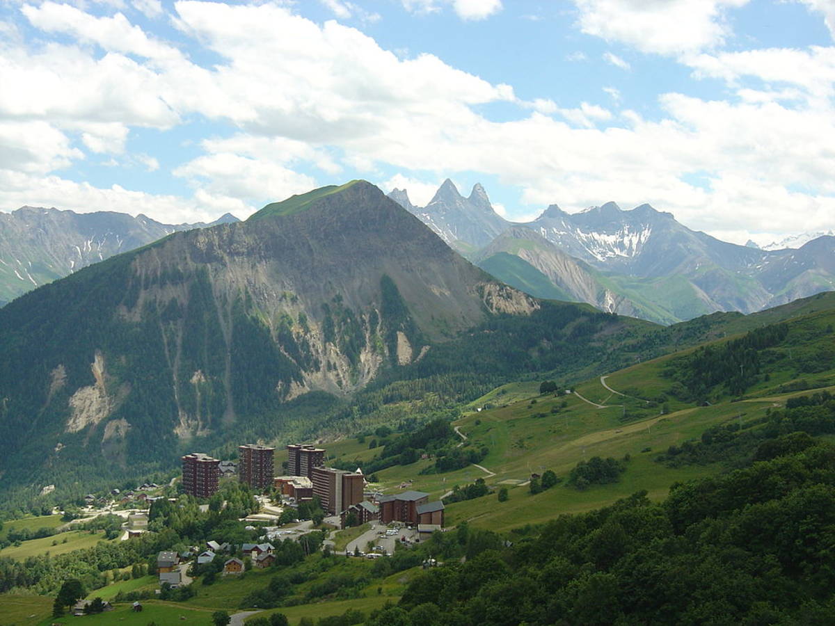
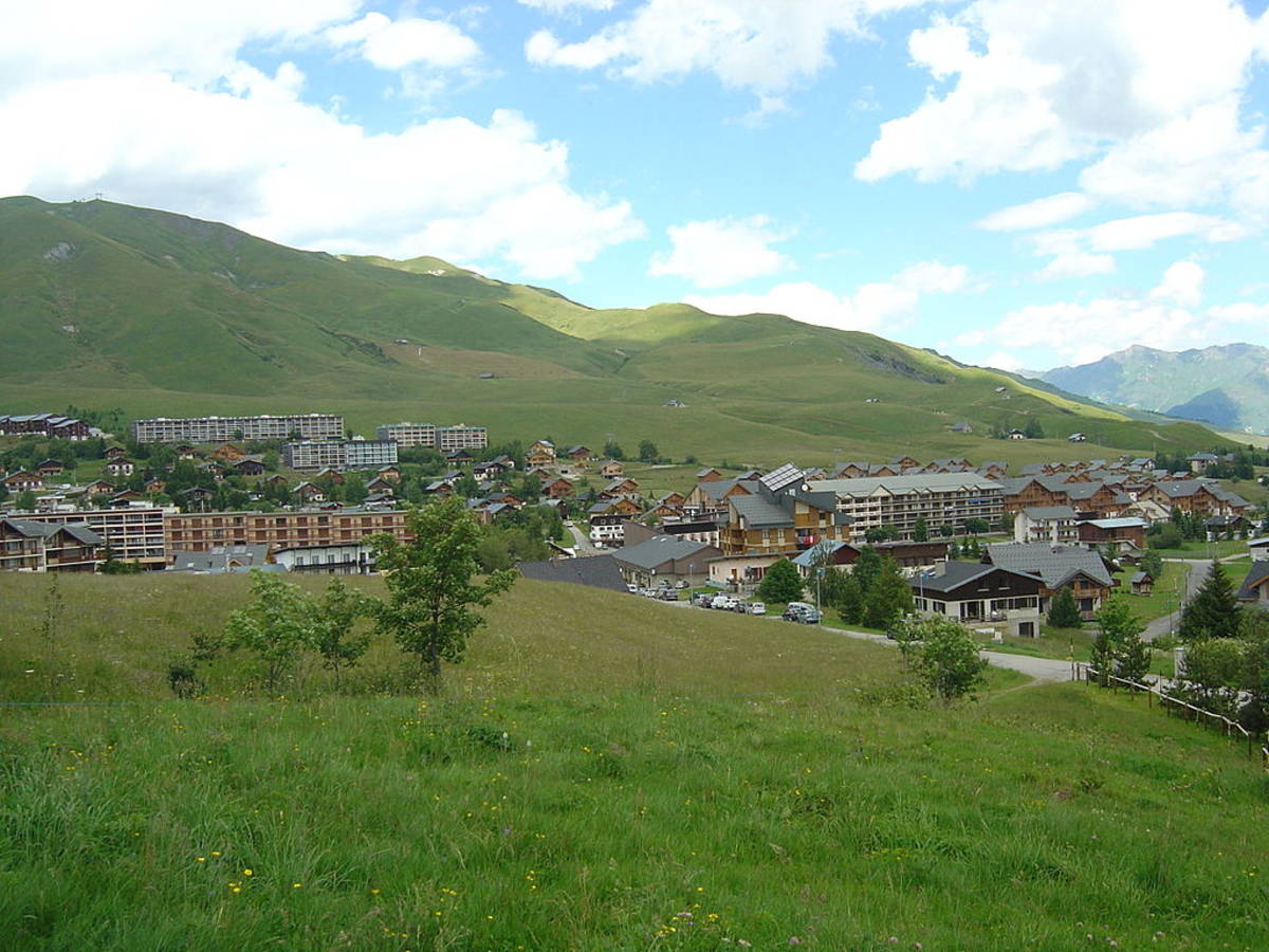
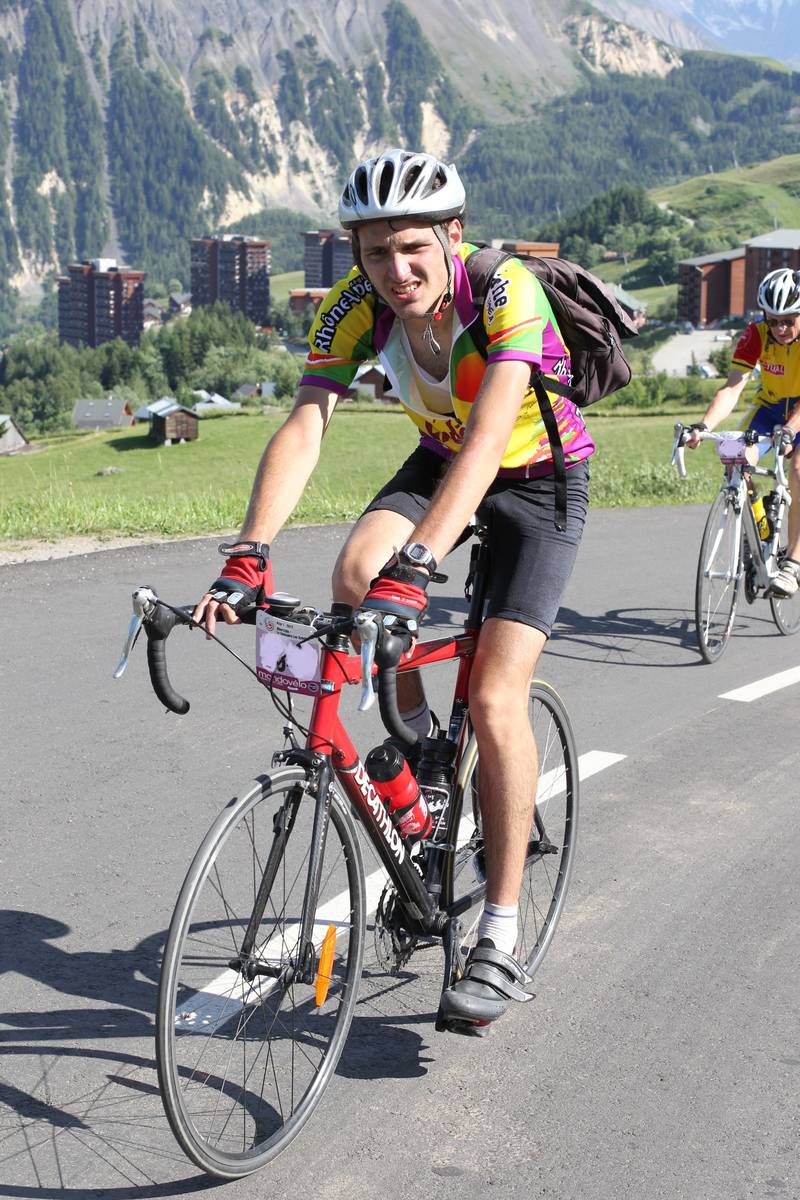
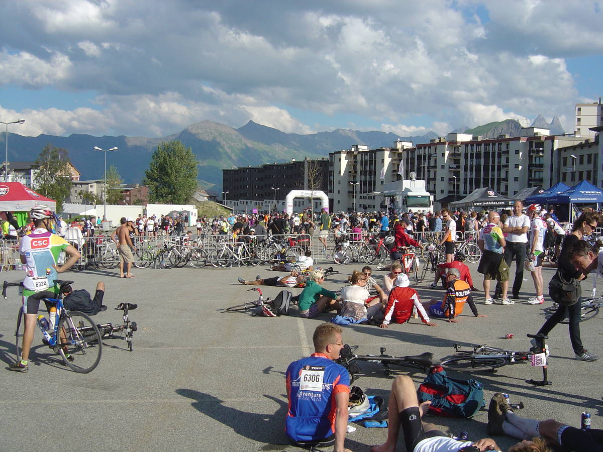
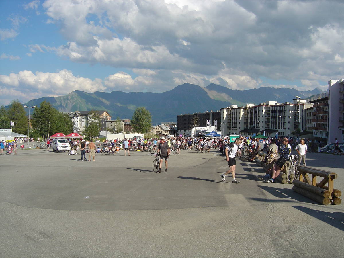
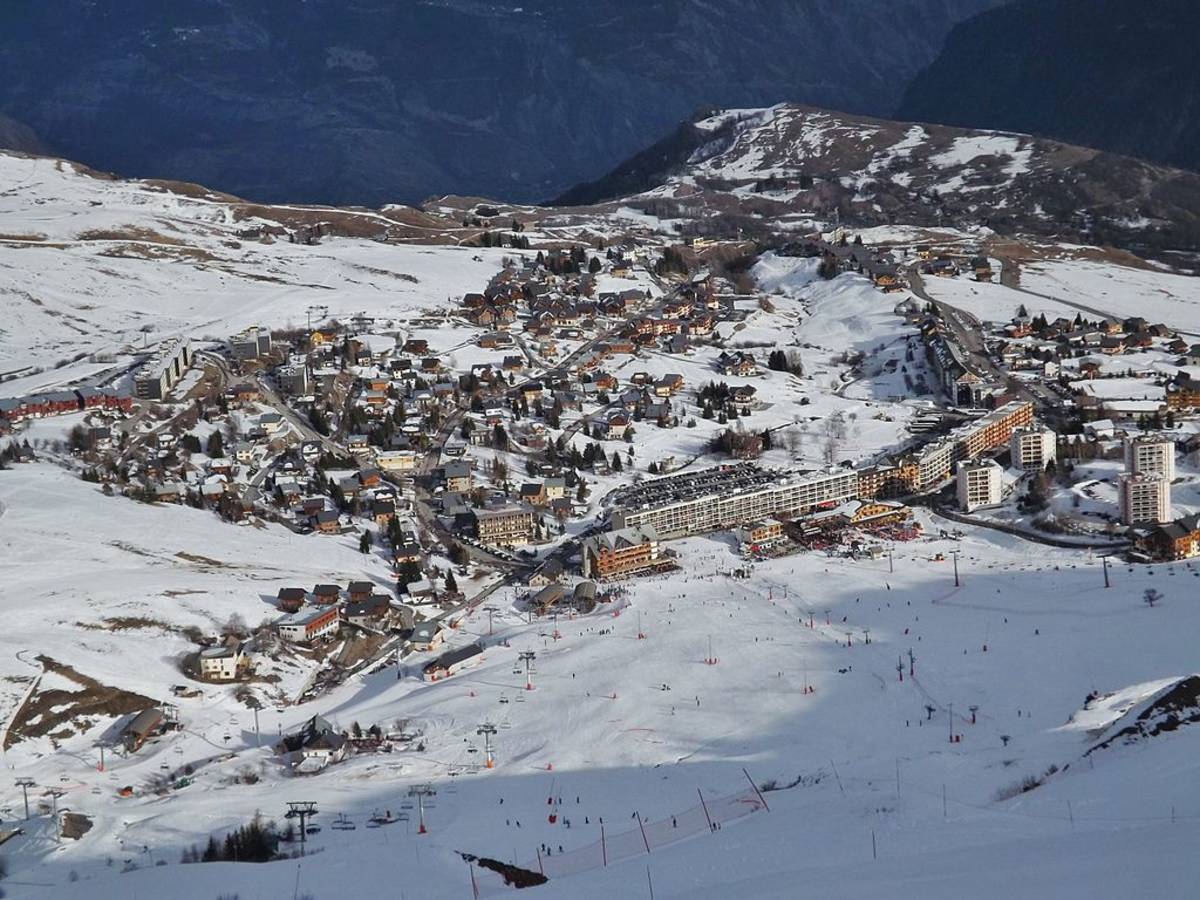
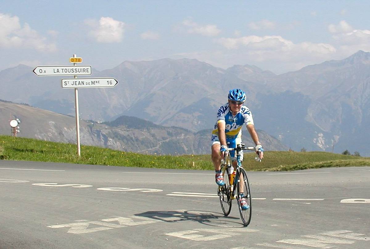
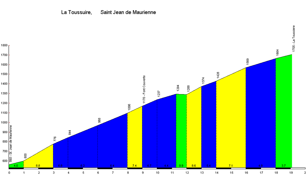
Information
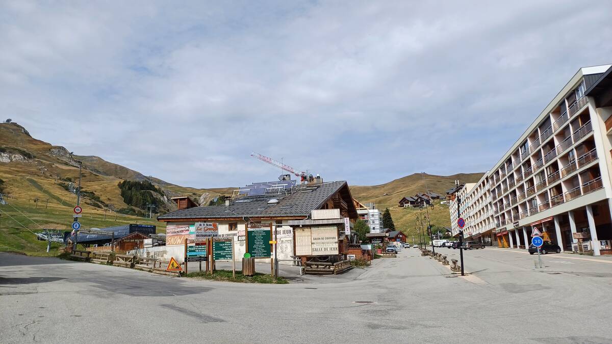
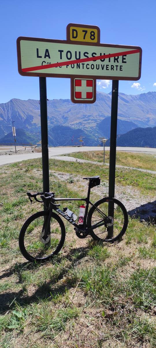
| Name : | Station de La Toussuire |
| Altitude : | 1705 m |
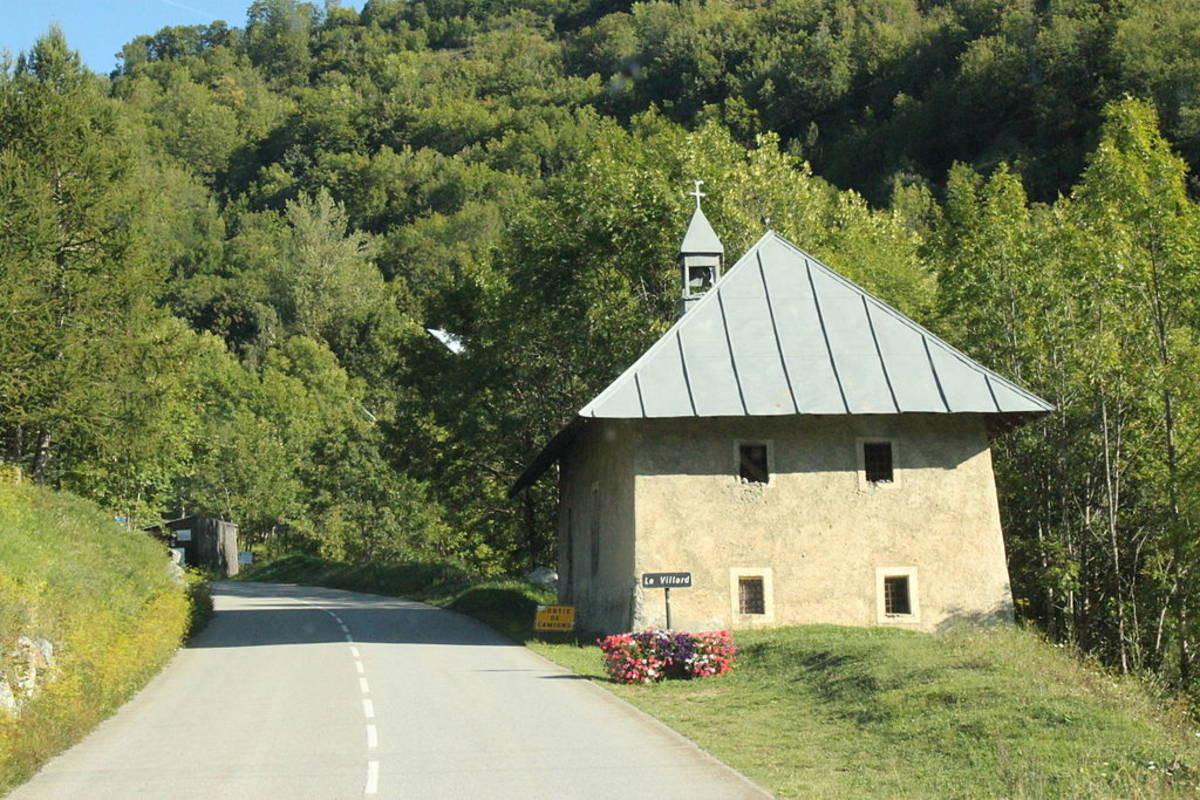
| Start : | Saint Jean de Maurienne |
| Length : | 19.10 km |
| Elevation gain : | 1145 m |
| % Avg : | 5.99% |
| % Max : | 8.8% |
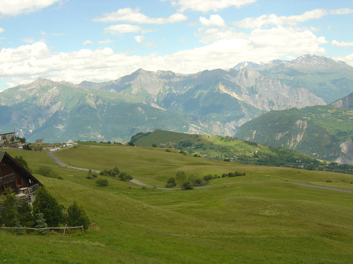
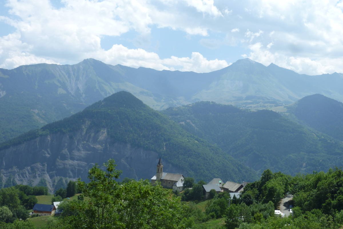
| Mountain range : | Arves and Grandes Rousses, France |
There's other climb of this summit
Map
Profile
 Ascents reserved for cyclists