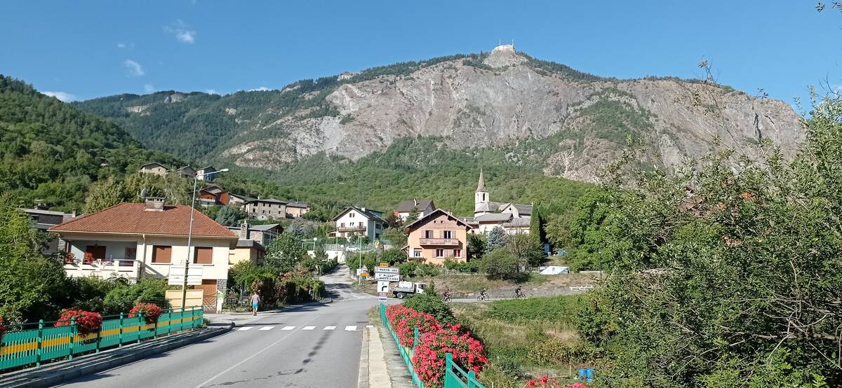
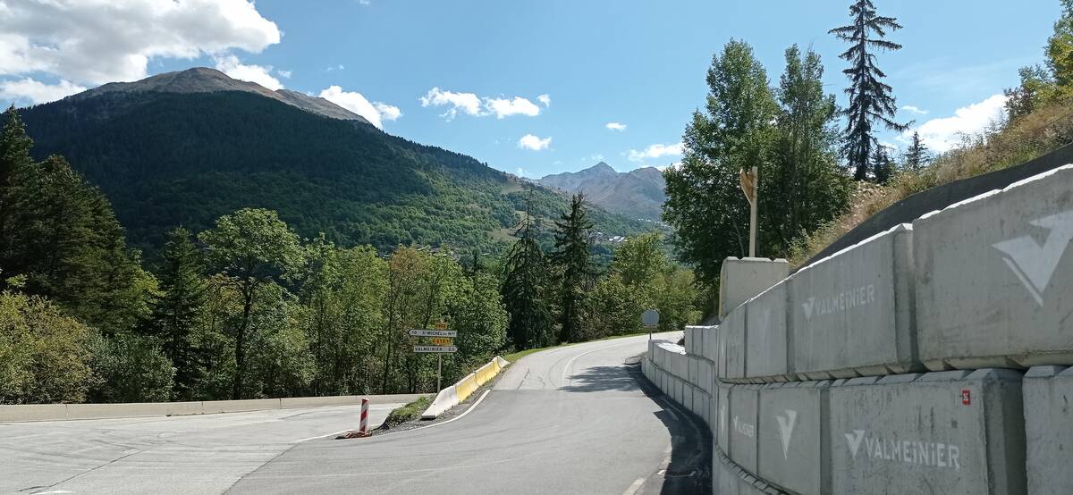
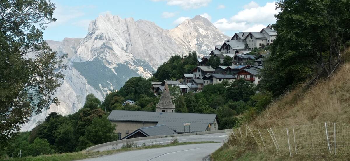
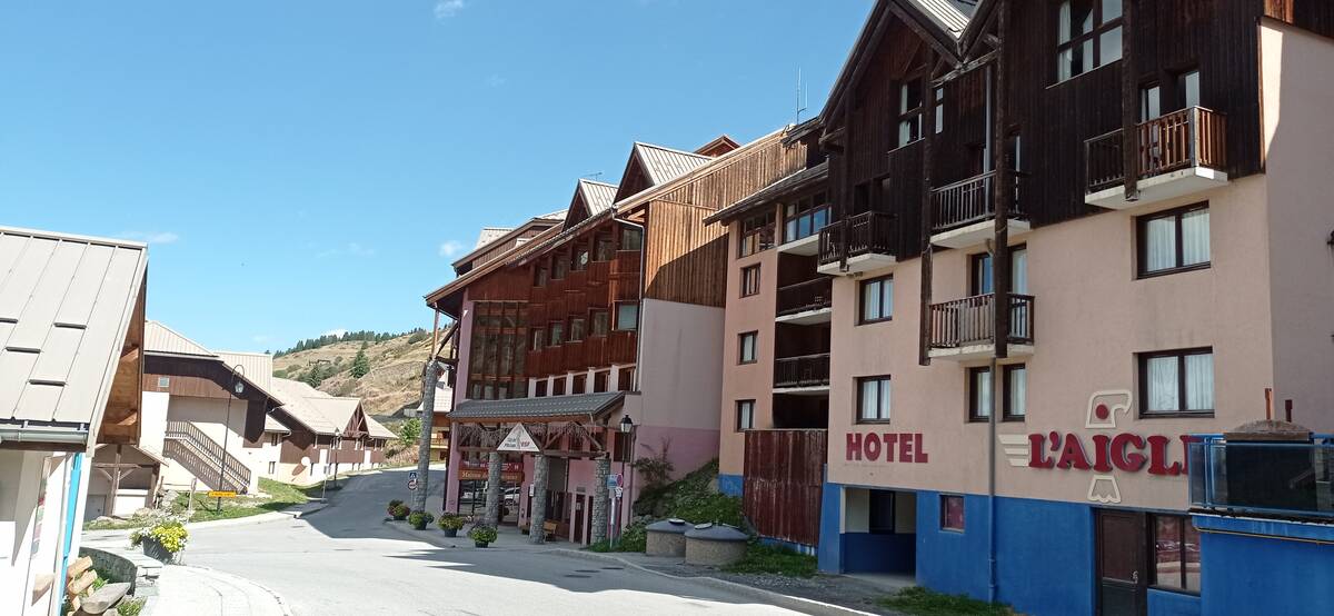
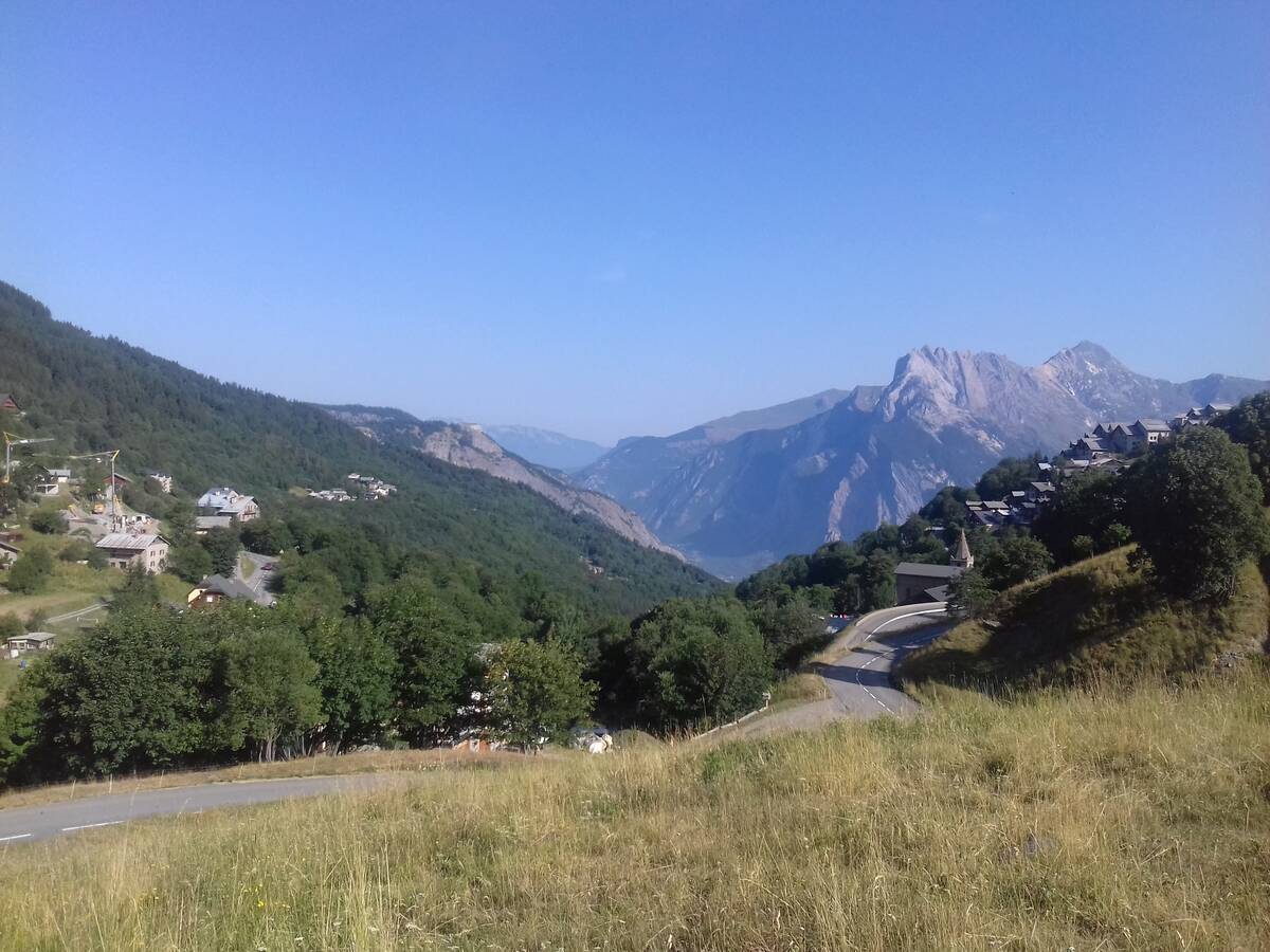
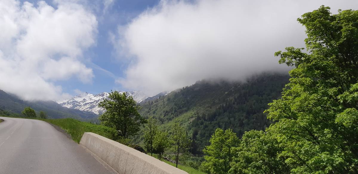
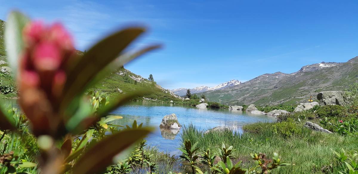
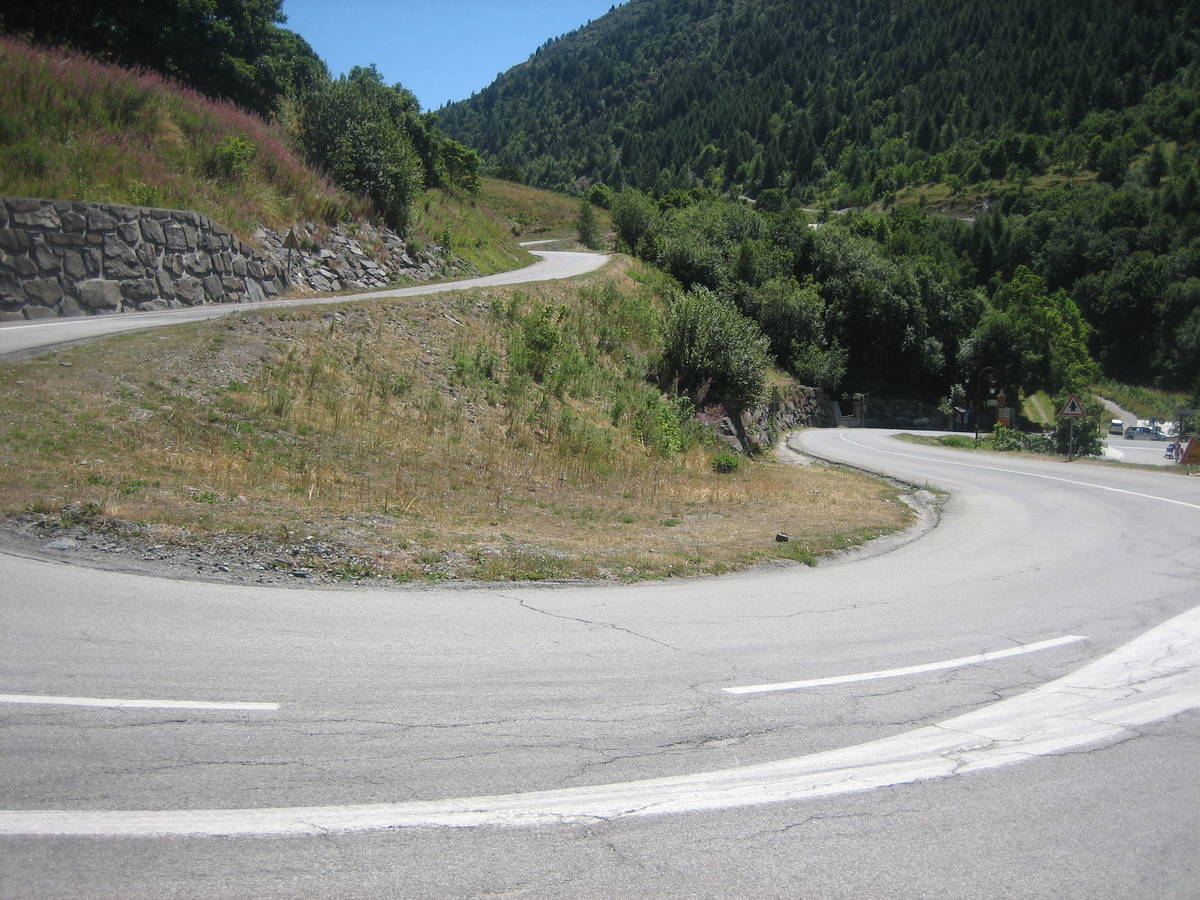
Information
| Name : | Station de Valmeinier |
| Altitude : | 1800 m |
| Start : | Saint Michel de Maurienne |
| Length : | 16.10 km |
| Elevation gain : | 1082 m |
| % Avg : | 6.72% |
| % Max : | 8.2% |
| Mountain range : | Arves and Grandes Rousses, France |
Map
Profile

 This climb is reserved for cyclists on 28/07/2019 :