Information
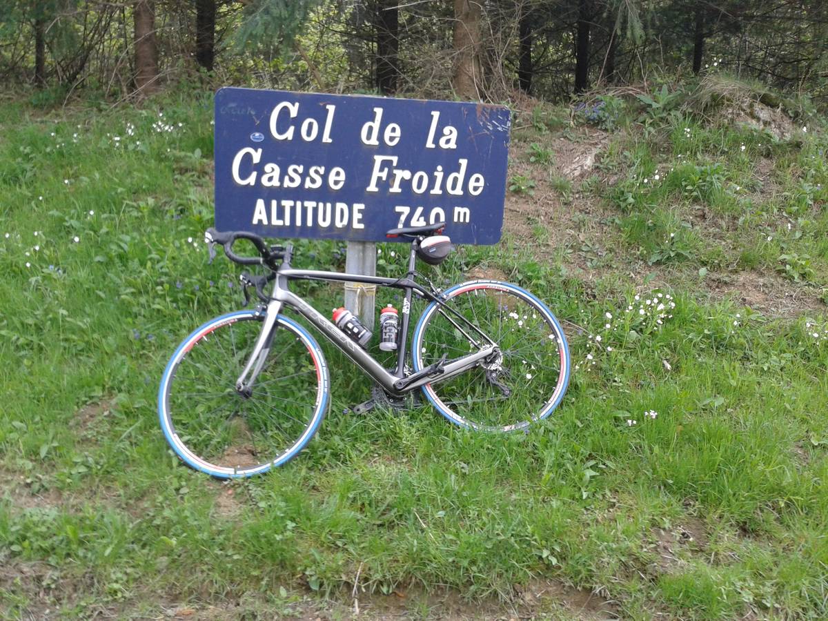
| Name : | Col de la Casse Froide |
| Altitude : | 739 m |
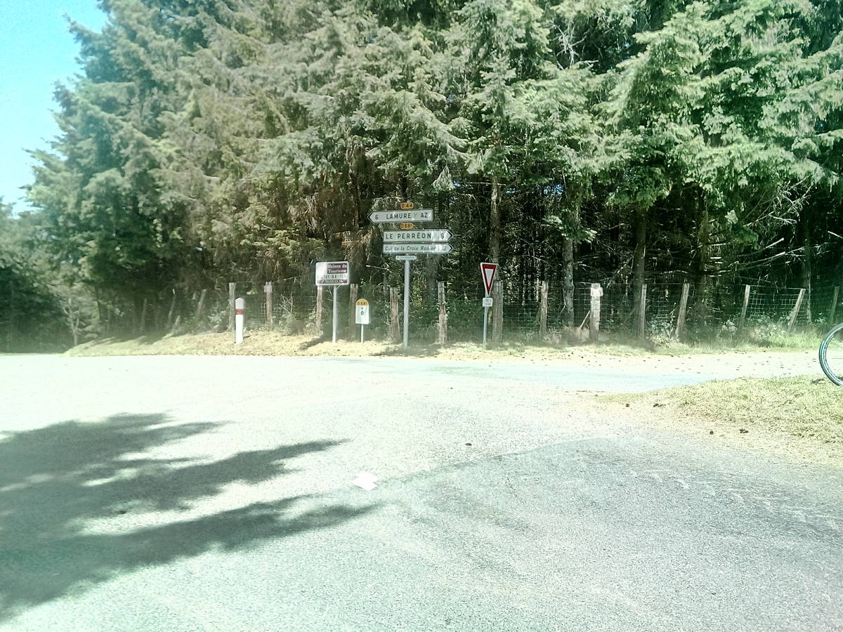
| Start : | Marchampt |
| Length : | 11.00 km |
| Elevation gain : | 419 m |
| % Avg : | 3.81% |
| % Max : | 18.0% |
| Mountain range : | Beaujolais, France |
There's other climb of this summit
Map
Programming LIGNEY SS2I - Webdesign Véronique Vilmant. Others websites : water for cycling, map of french passes
 Ascents reserved for cyclists