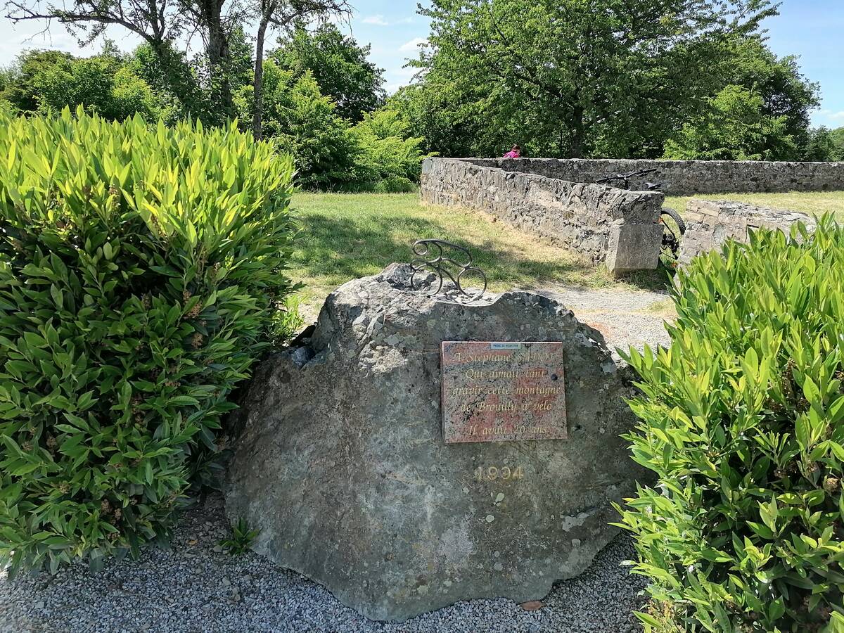
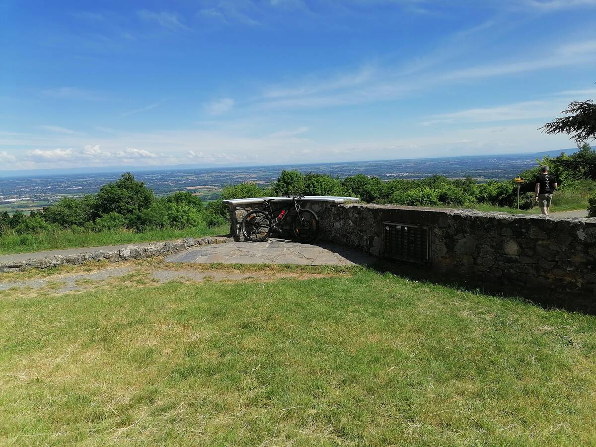
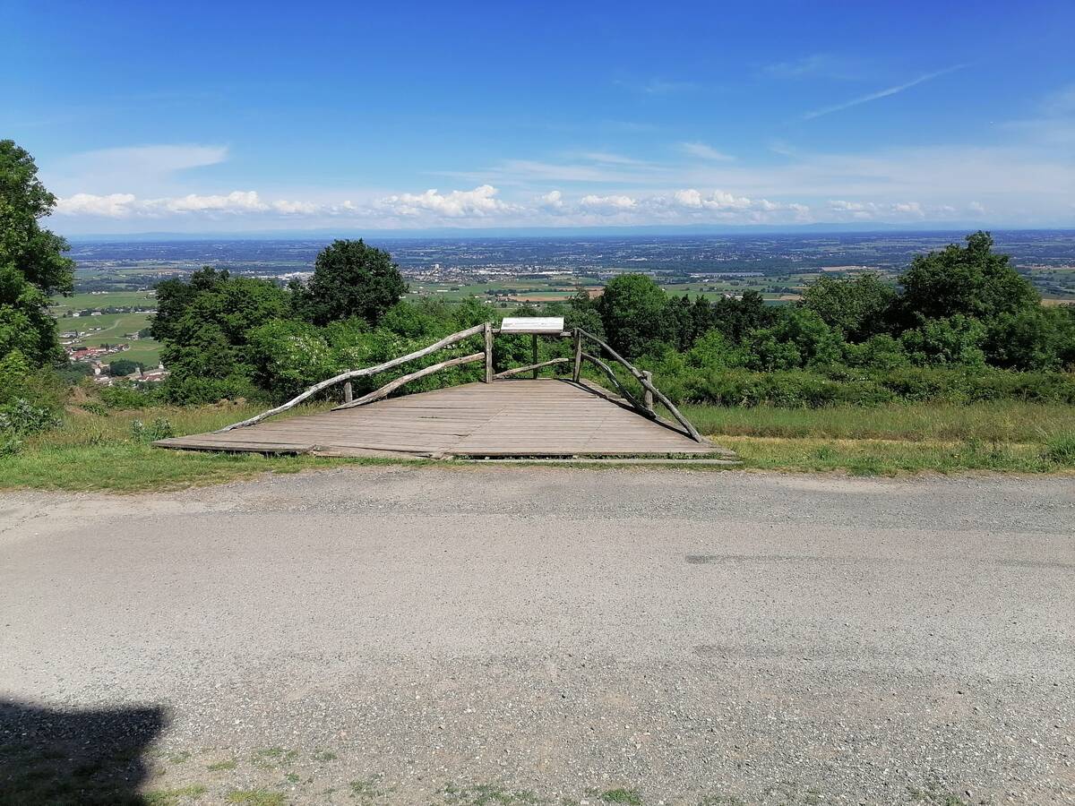
Information
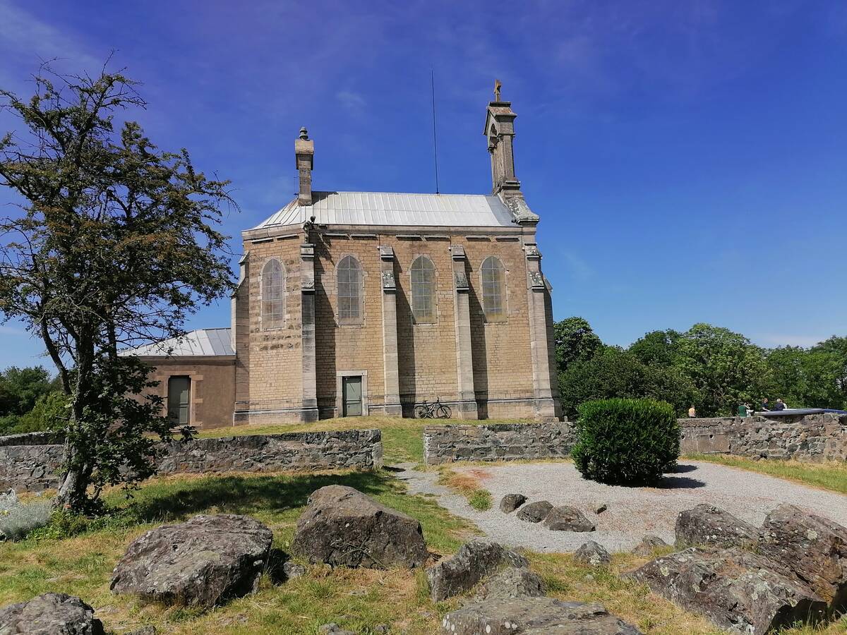
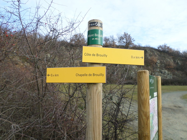
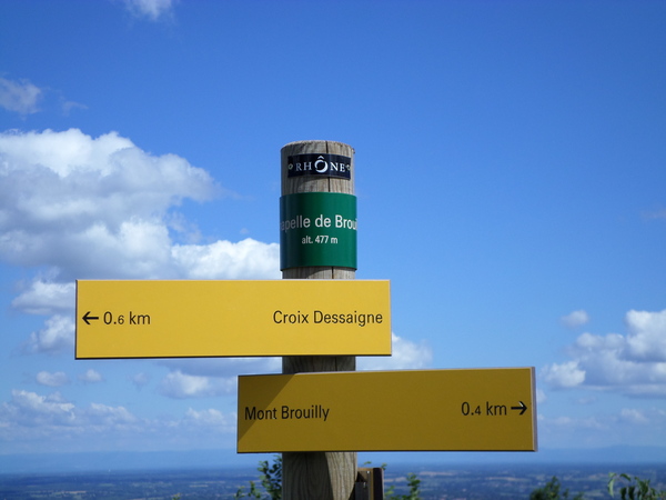
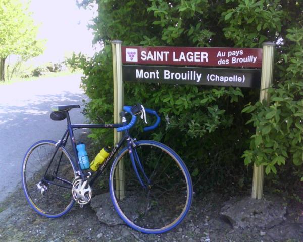
| Name : | Mont Brouilly |
| Altitude : | 476 m |
| Start : | Quincié-en-Beaujolais, D37 |
| Length : | 3.65 km |
| Elevation gain : | 236 m |
| % Avg : | 6.47% |
| % Max : | 15.0% |
| Mountain range : | Beaujolais, France |
There's other climb of this summit
Map
Profile

 This climb is reserved for cyclists on 26/07/2026 : This climb is reserved for cyclists on 27/09/2026 : This climb is reserved for cyclists on 24/05/2026 :