Information
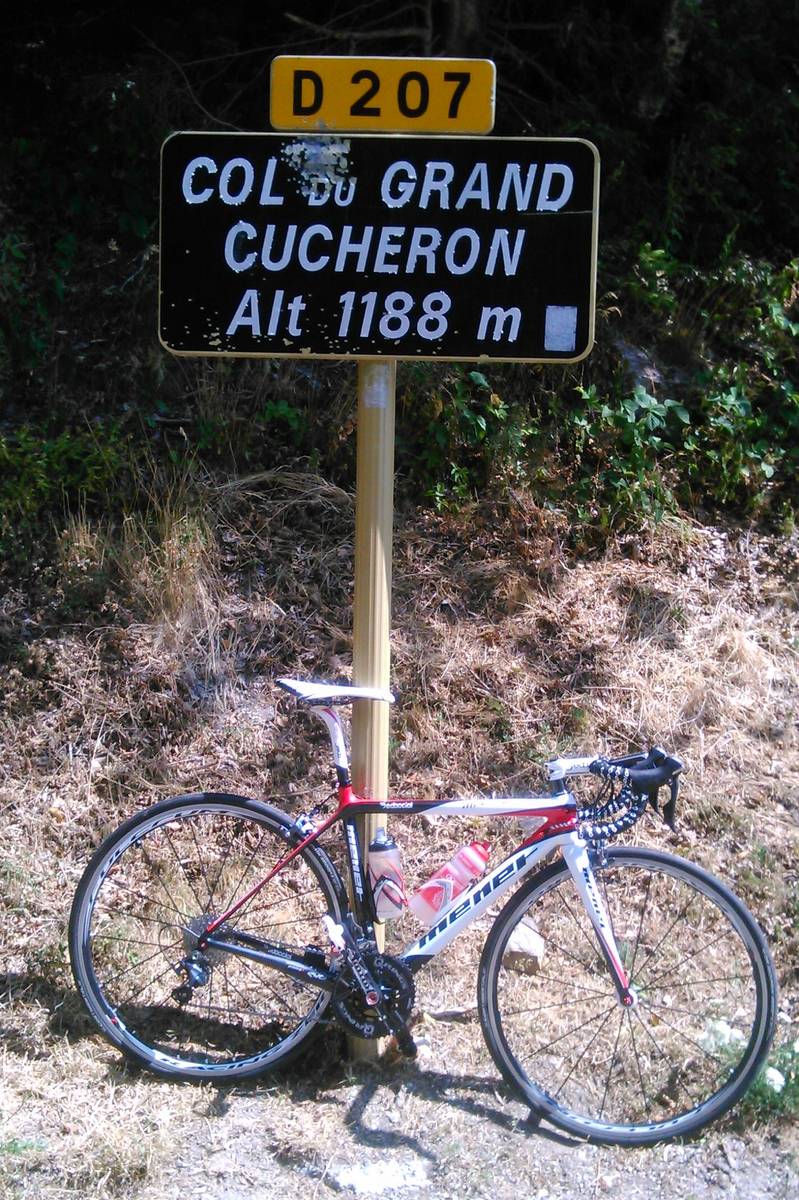
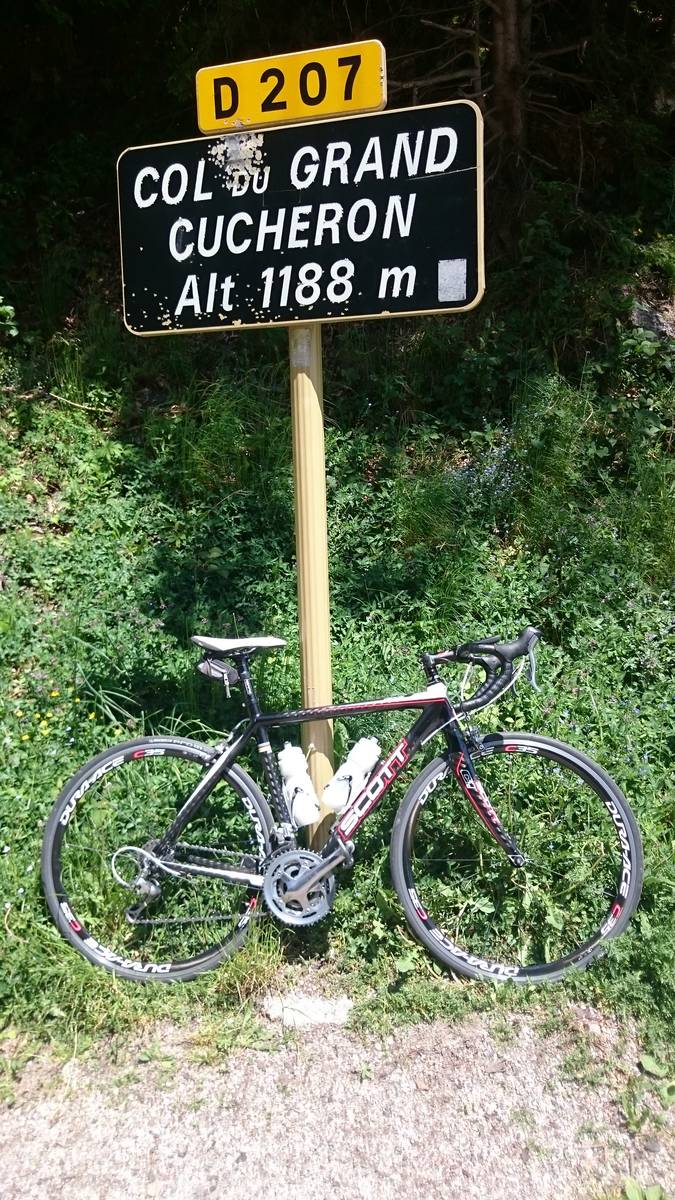
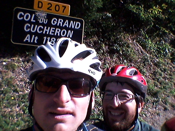
| Name : | Col du Grand Cucheron |
| Altitude : | 1188 m |
| Opening : |  Ouvert Ouvert |
| Start : | Les Granges |
| Length : | 4.10 km |
| Elevation gain : | 314 m |
| % Avg : | 7.66% |
| % Max : | 12.8% |
| Mountain range : | Belledonne, France |
There's other climb of this summit
Map
Profile

 Ascents reserved for cyclists