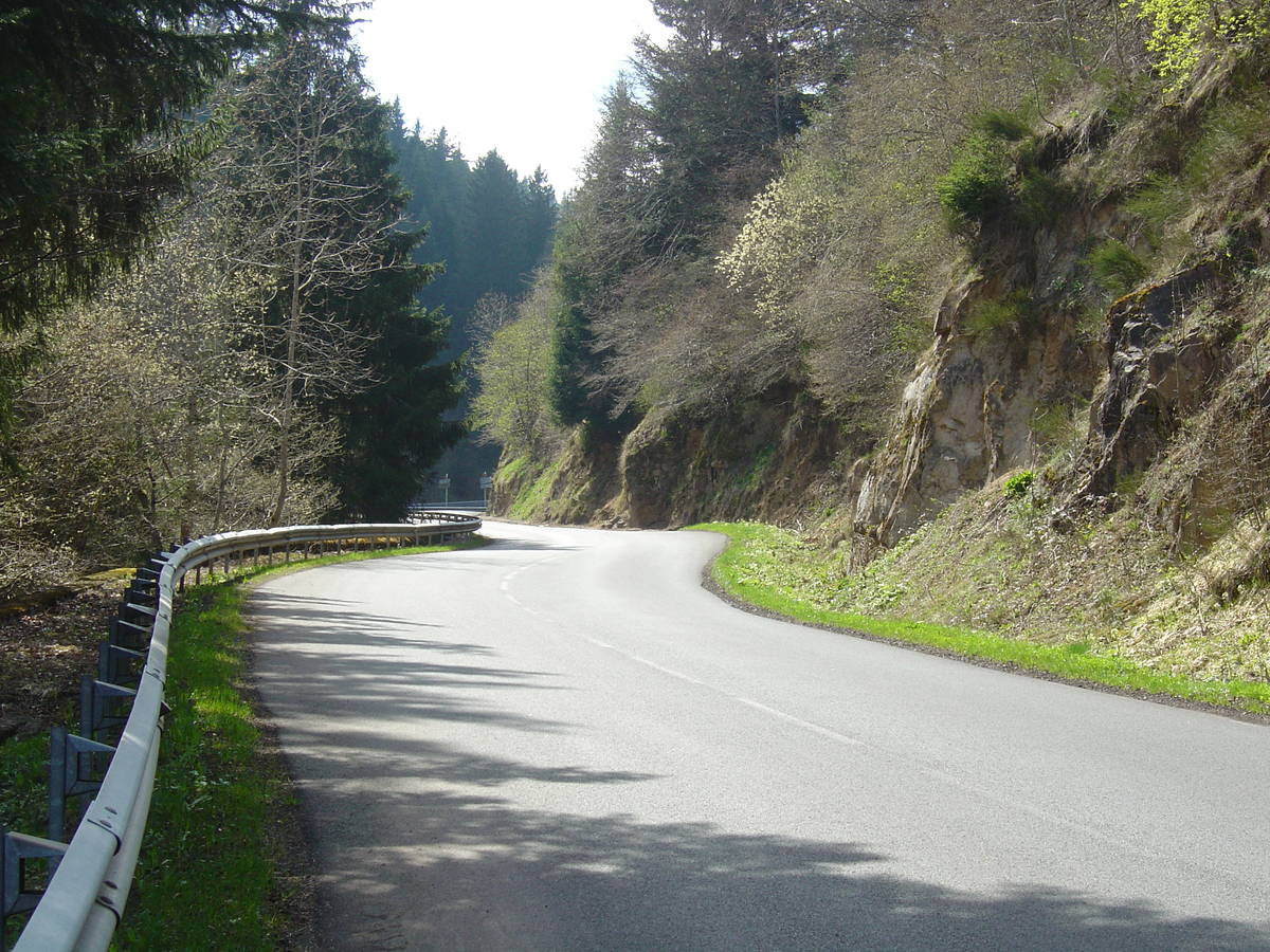
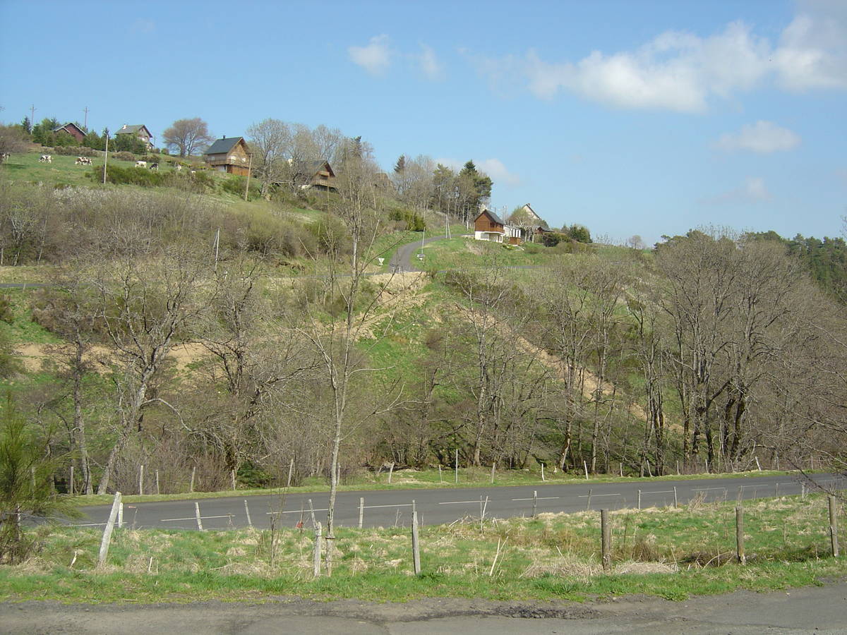
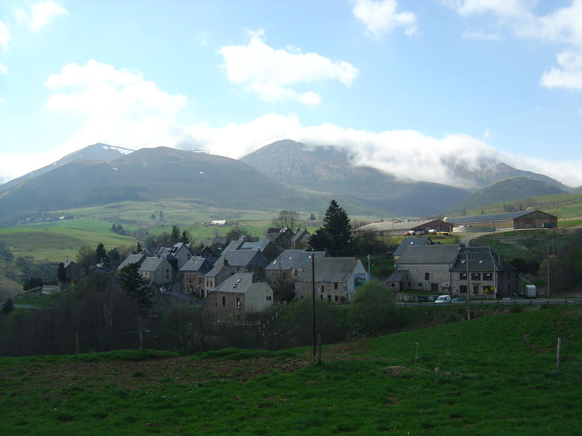
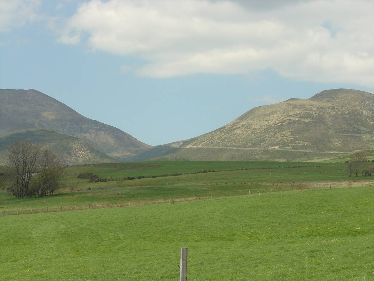
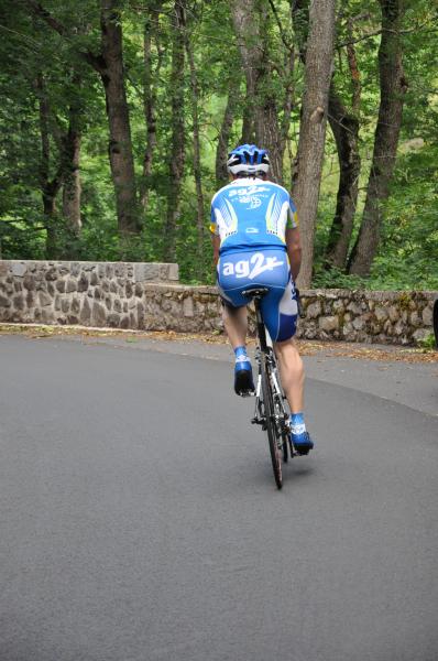
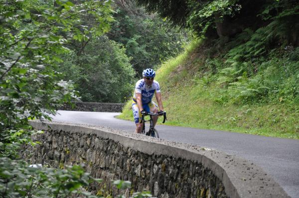
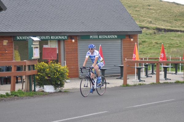
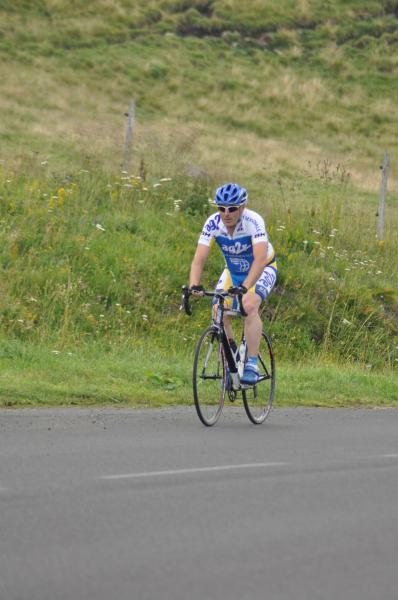
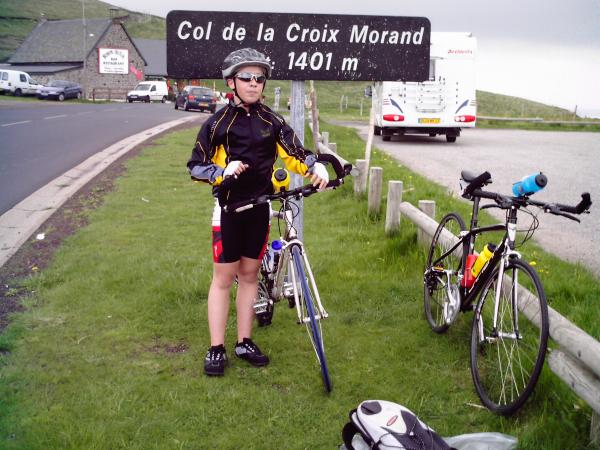
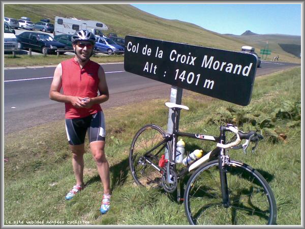
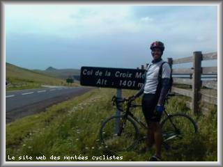
Information
There's other climb of this summit
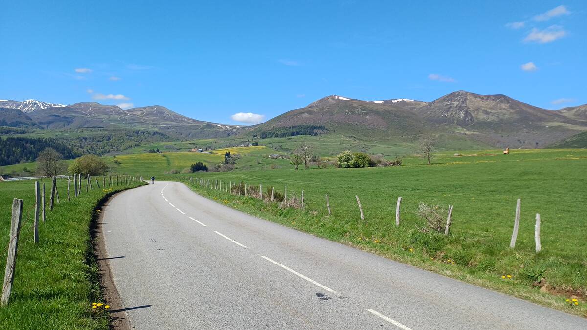
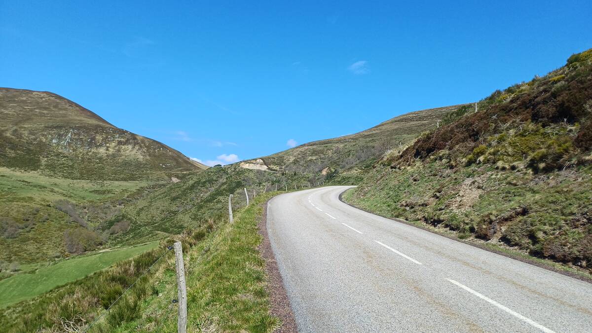
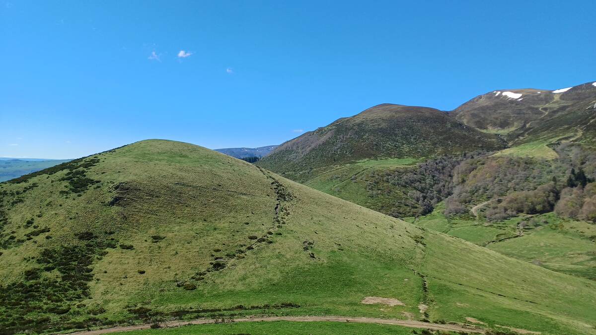
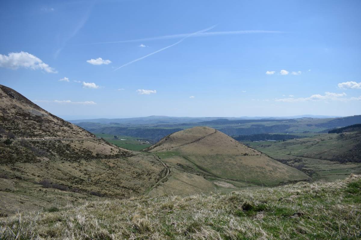
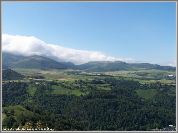
Map
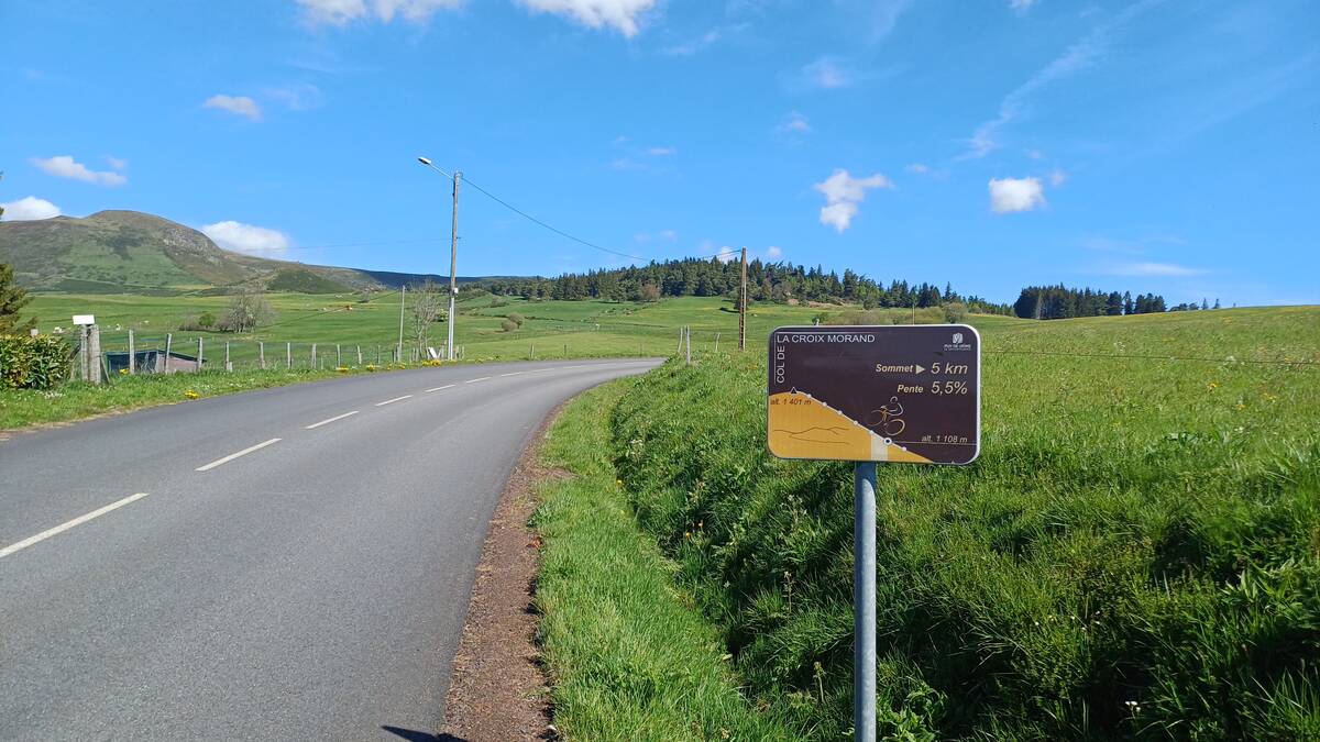
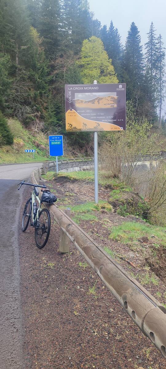
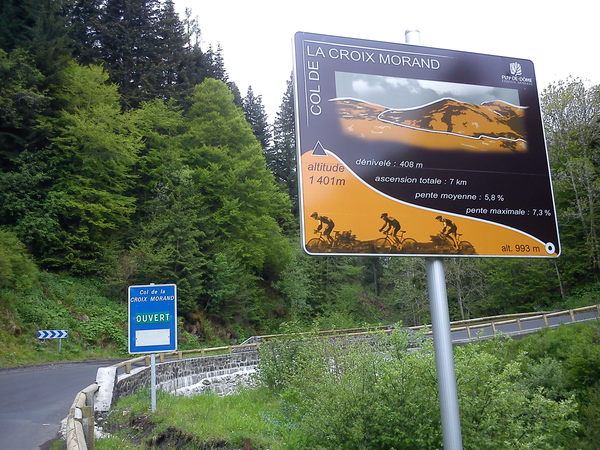
Profile
Login or Create your account
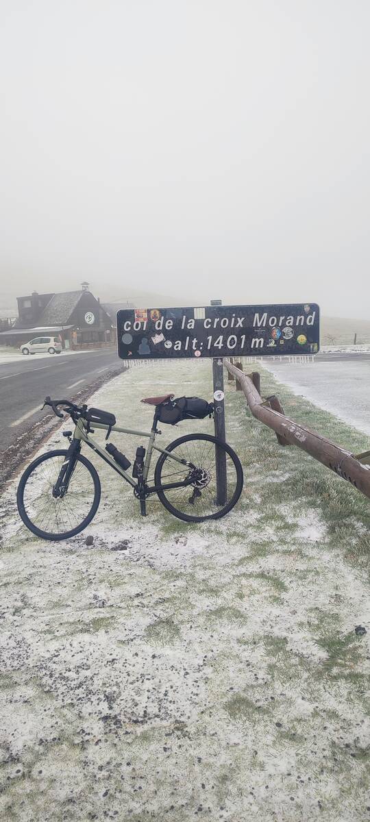
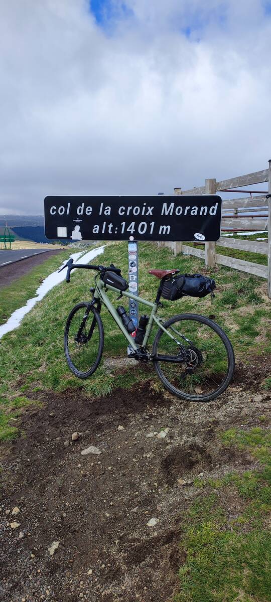
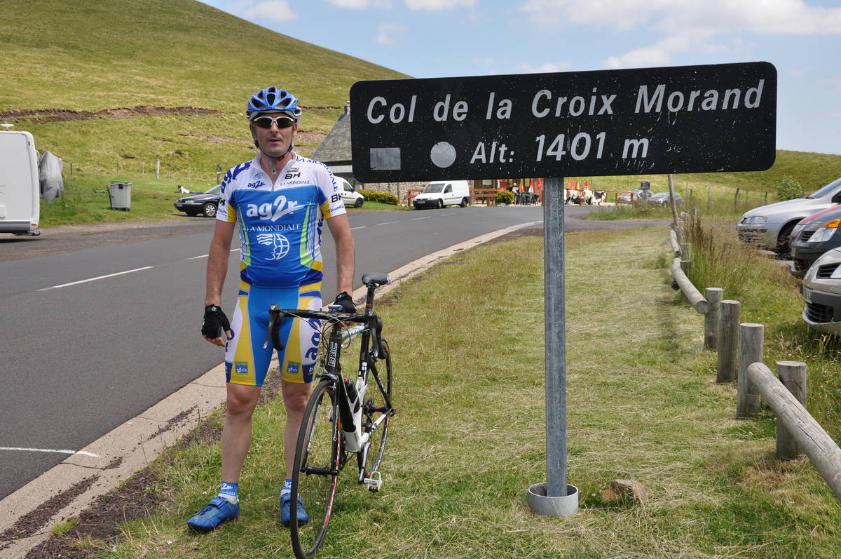
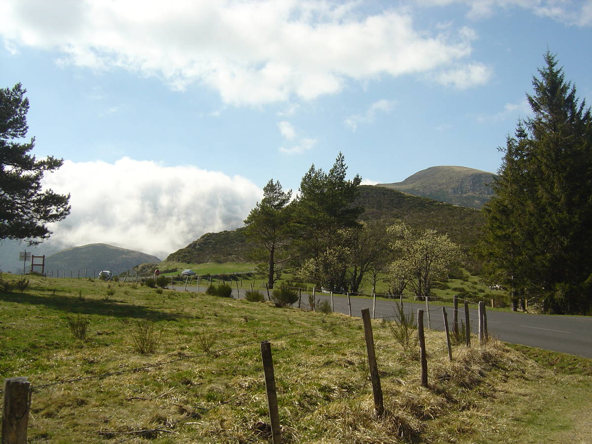
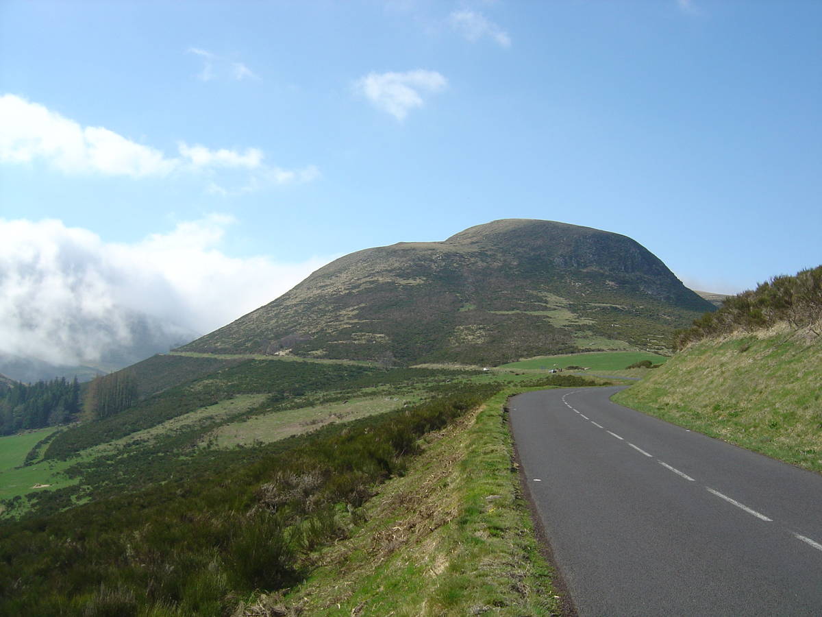
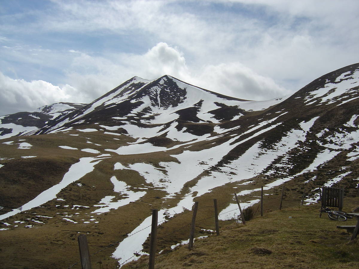
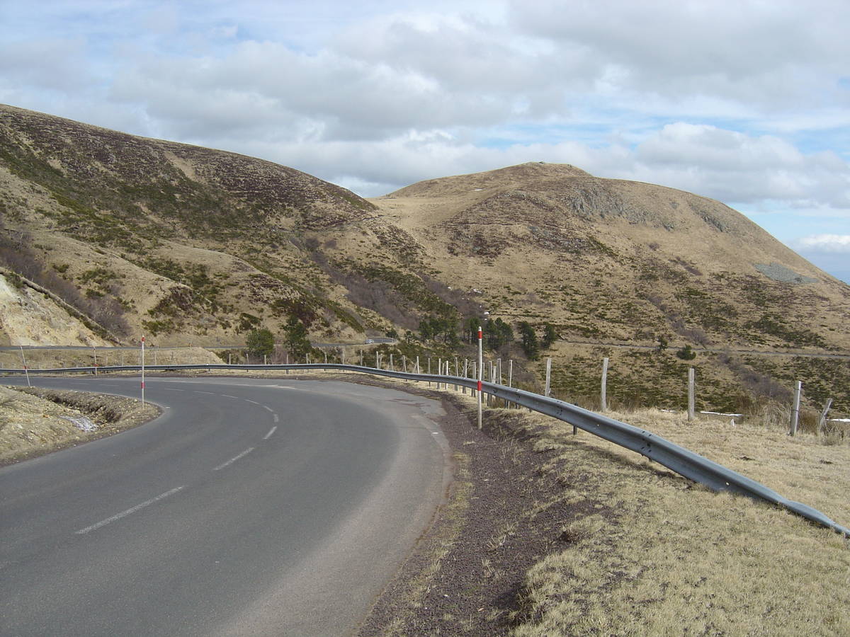
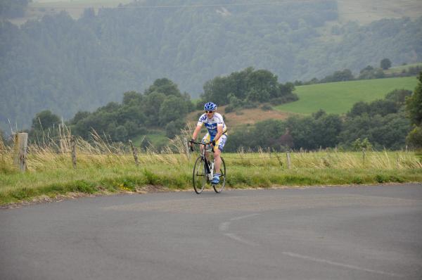
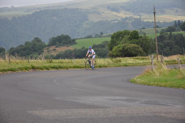
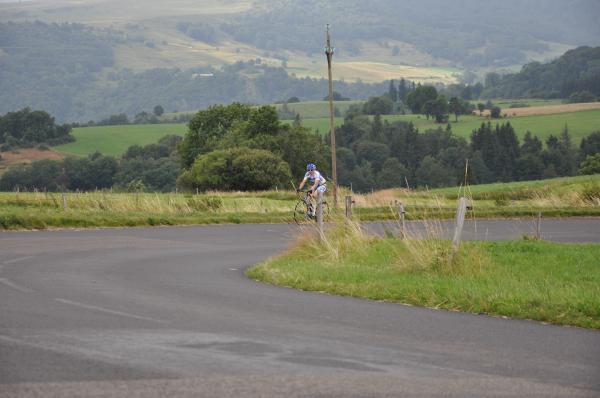
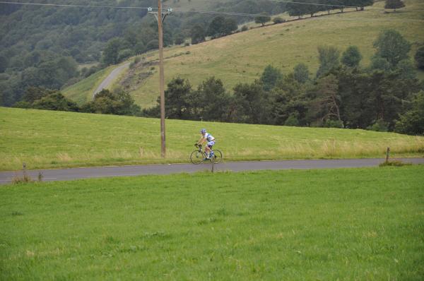
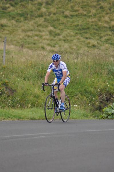
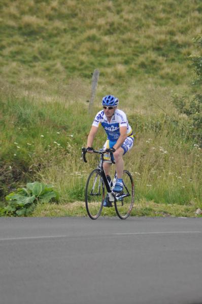
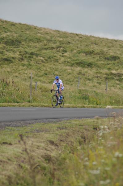
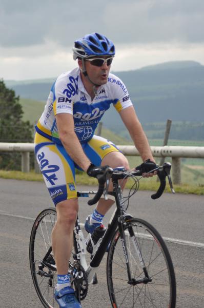
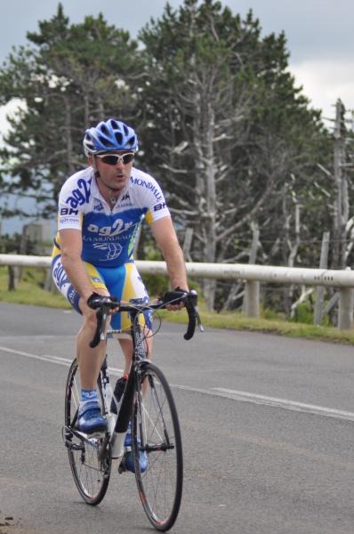
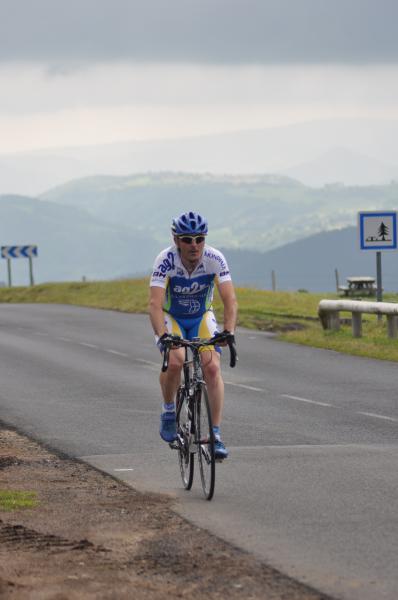
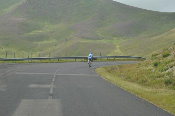
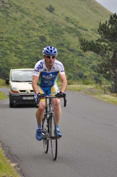
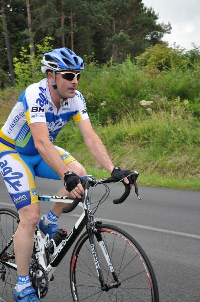
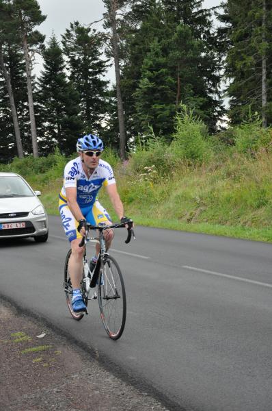
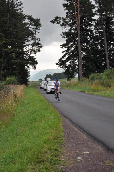
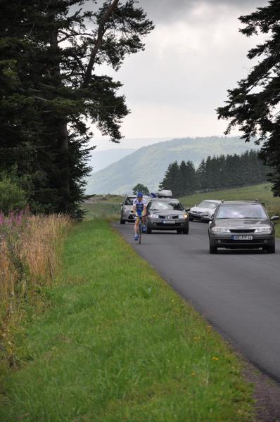
Choose a picture :
Message :
Climbing time :

 Ascents reserved for cyclists