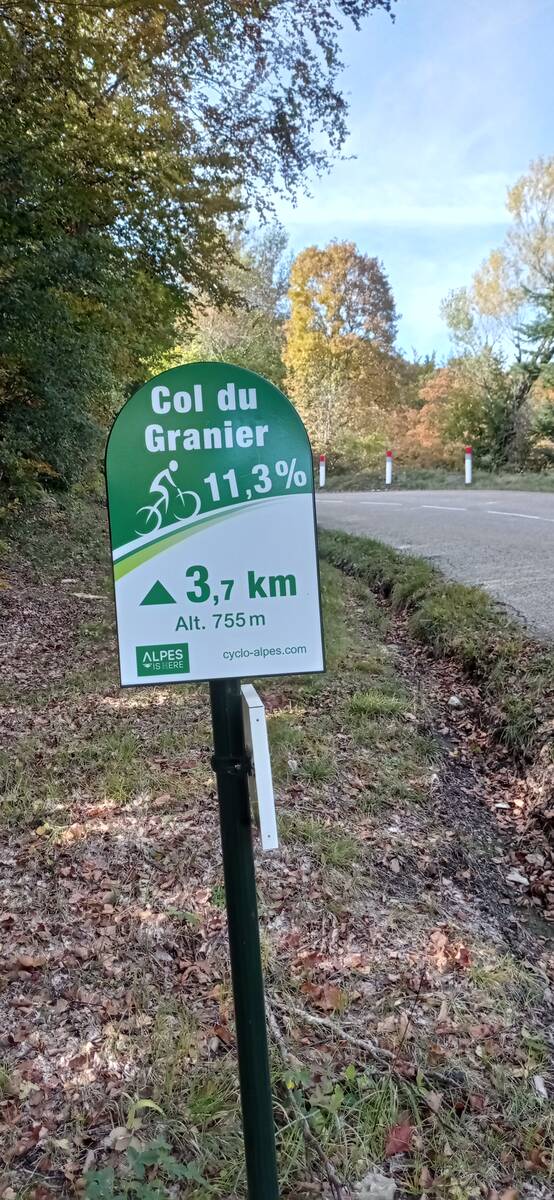
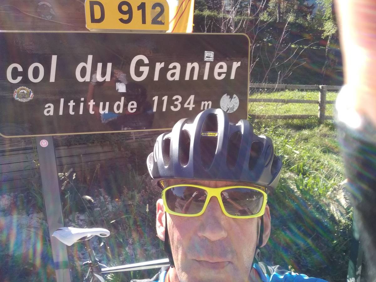
Information
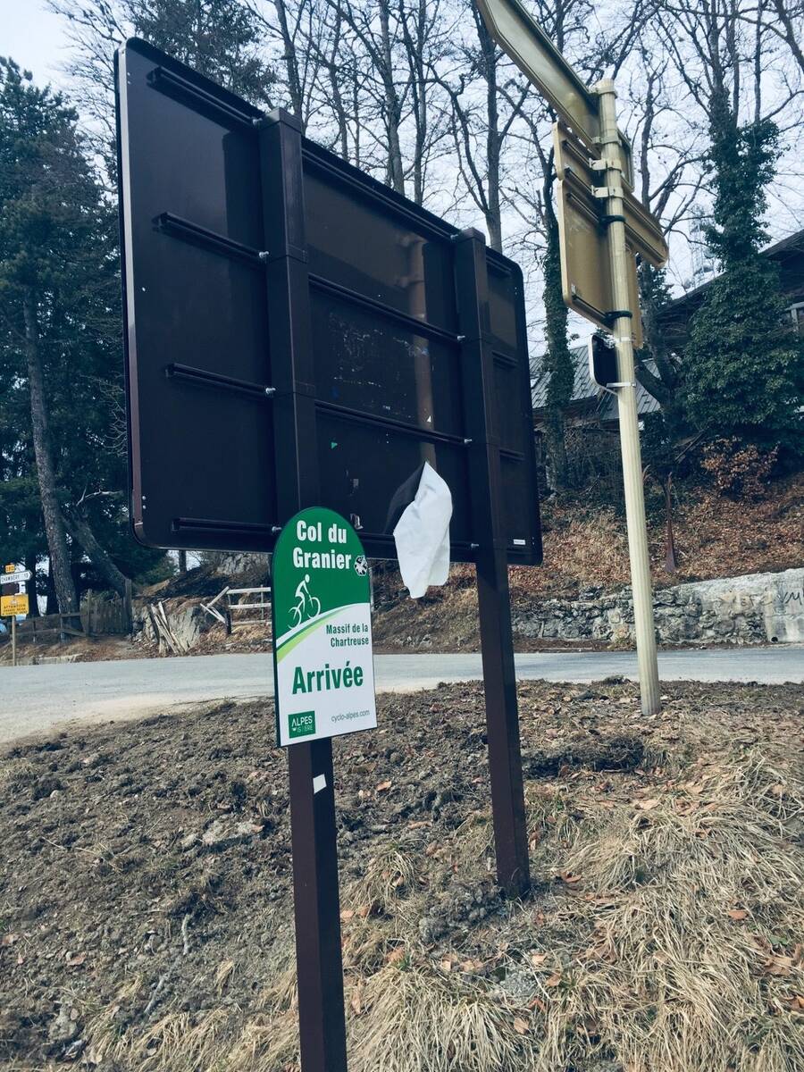
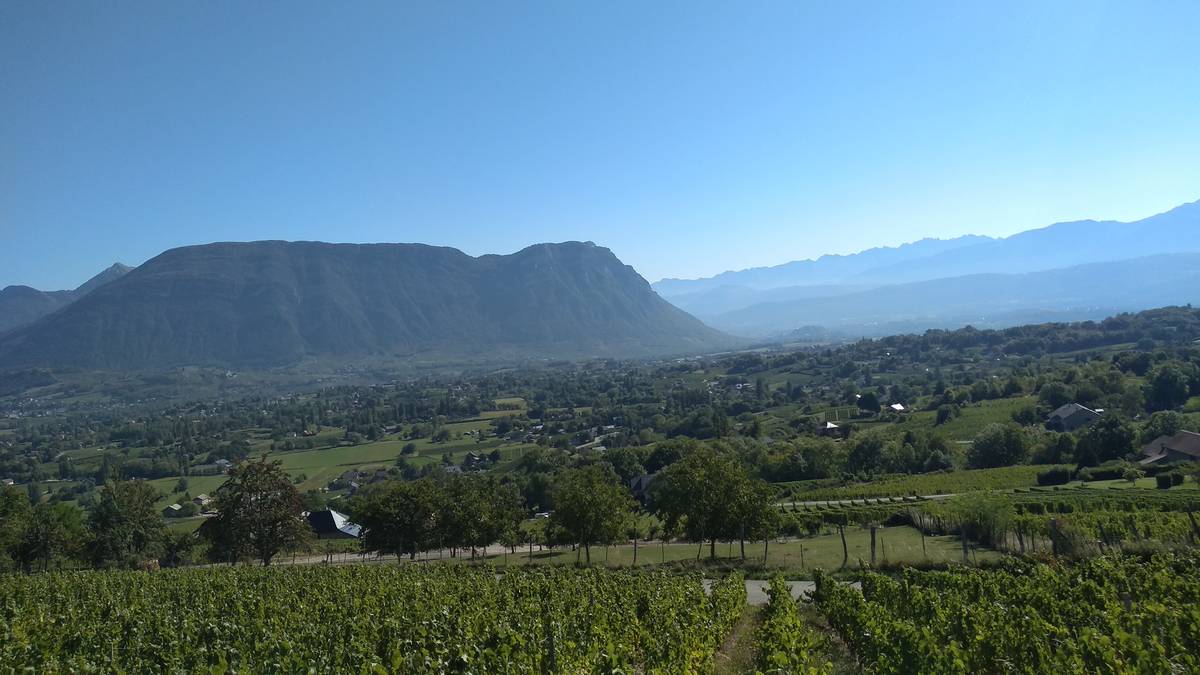
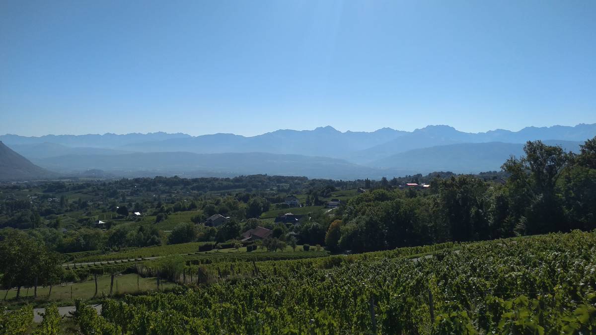
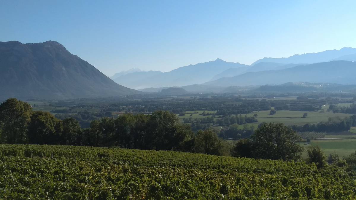
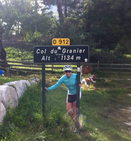
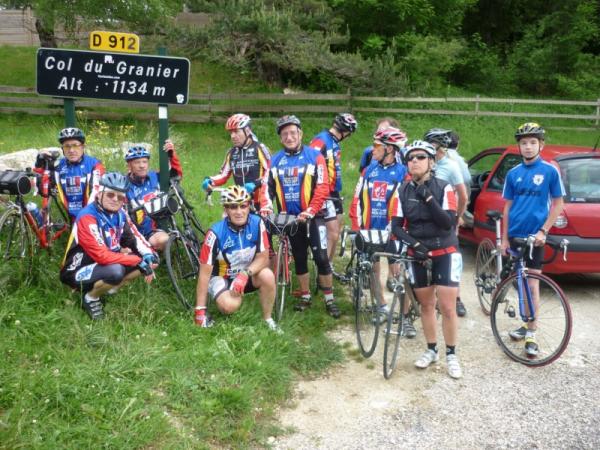
| Name : | Col du Granier |
| Altitude : | 1134 m |
| Opening : |  Ouvert Ouvert |
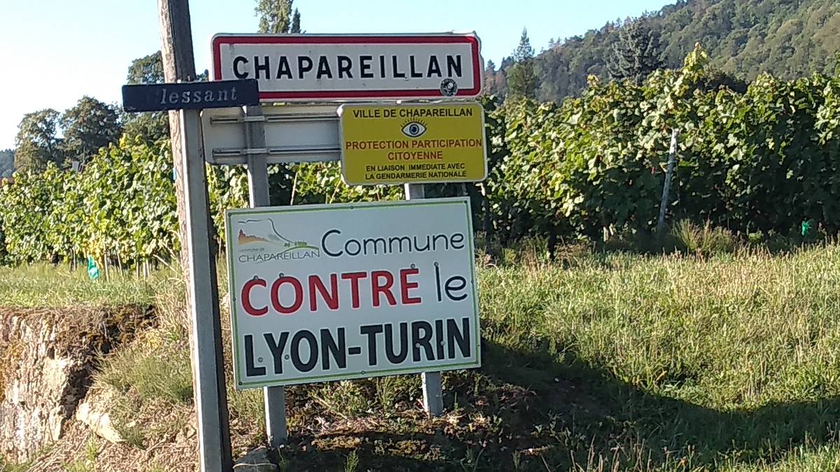
| Start : | Chapareillan |
| Length : | 10.50 km |
| Elevation gain : | 854 m |
| % Avg : | 8.13% |
| % Max : | 10.4% |
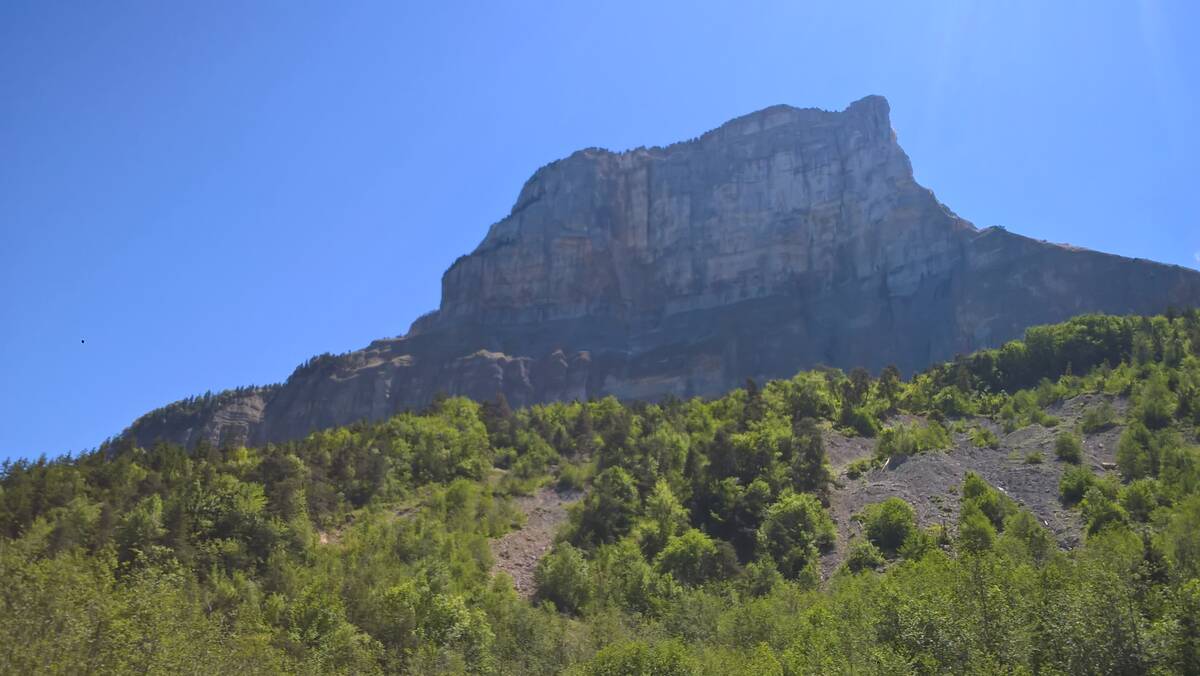
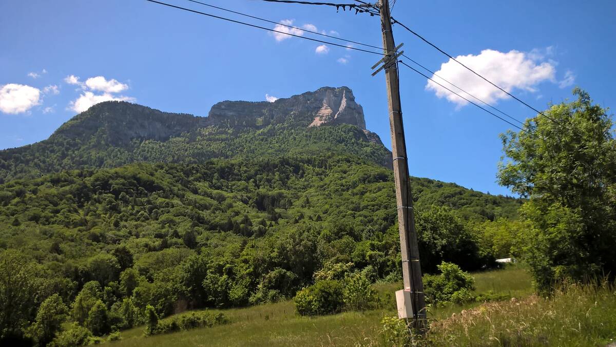
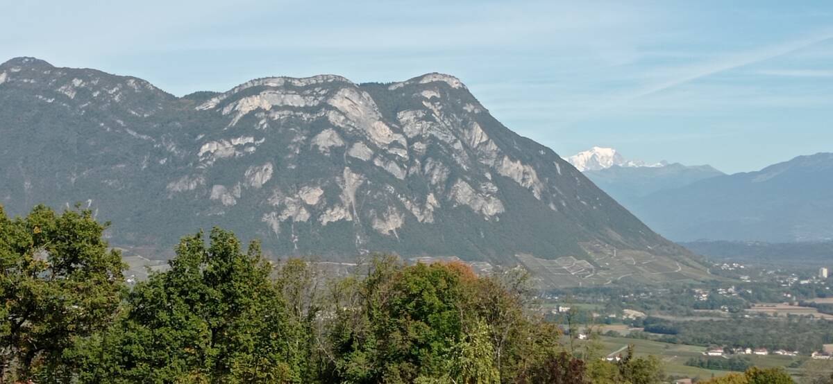
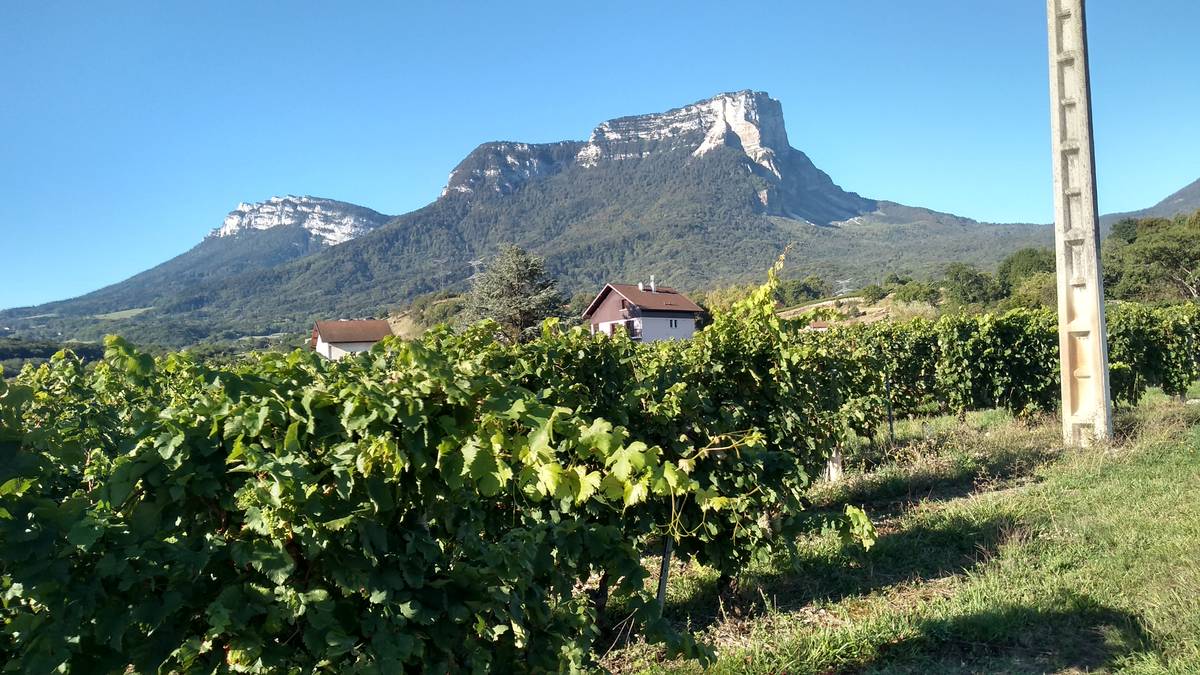
| Mountain range : | Chartreuse, France |
There's other climb of this summit
Map
Profile

 Ascents reserved for cyclists