Information
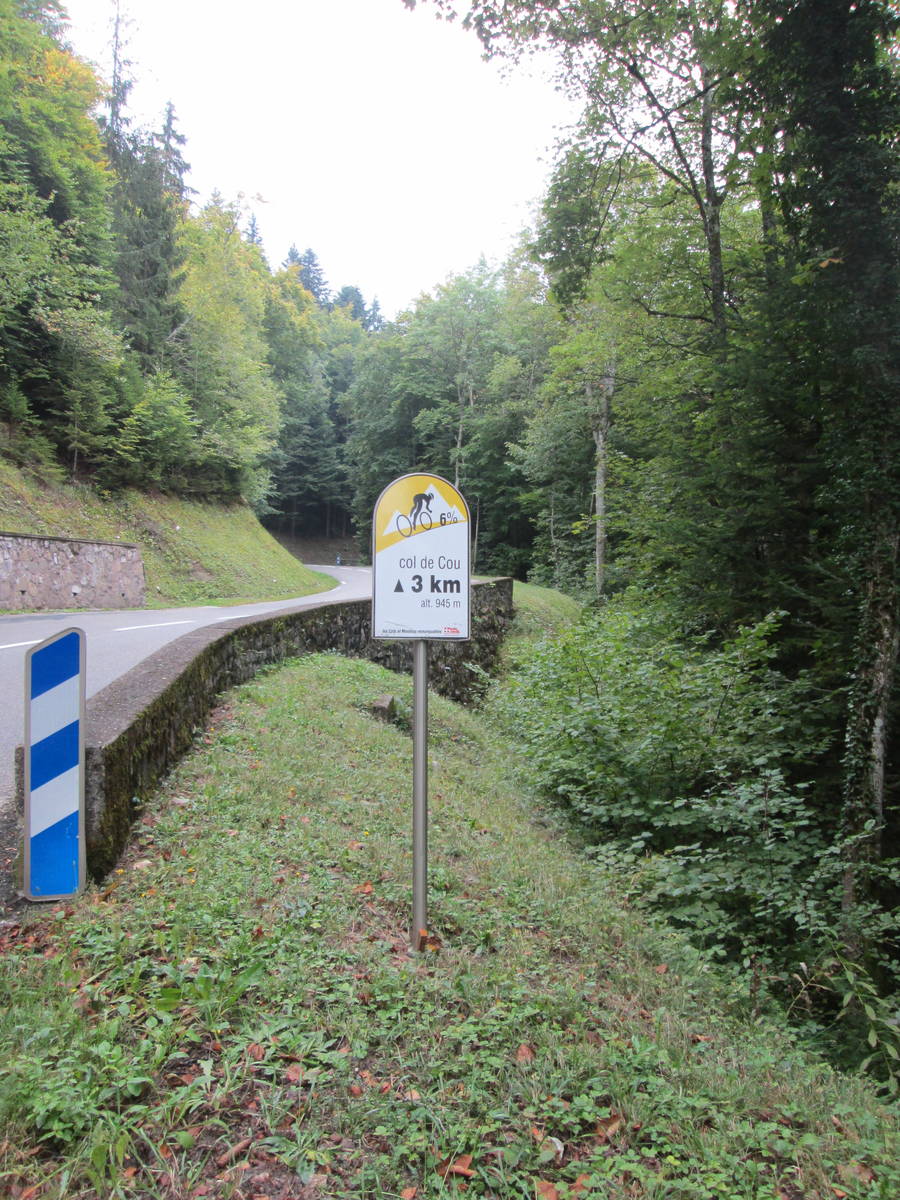
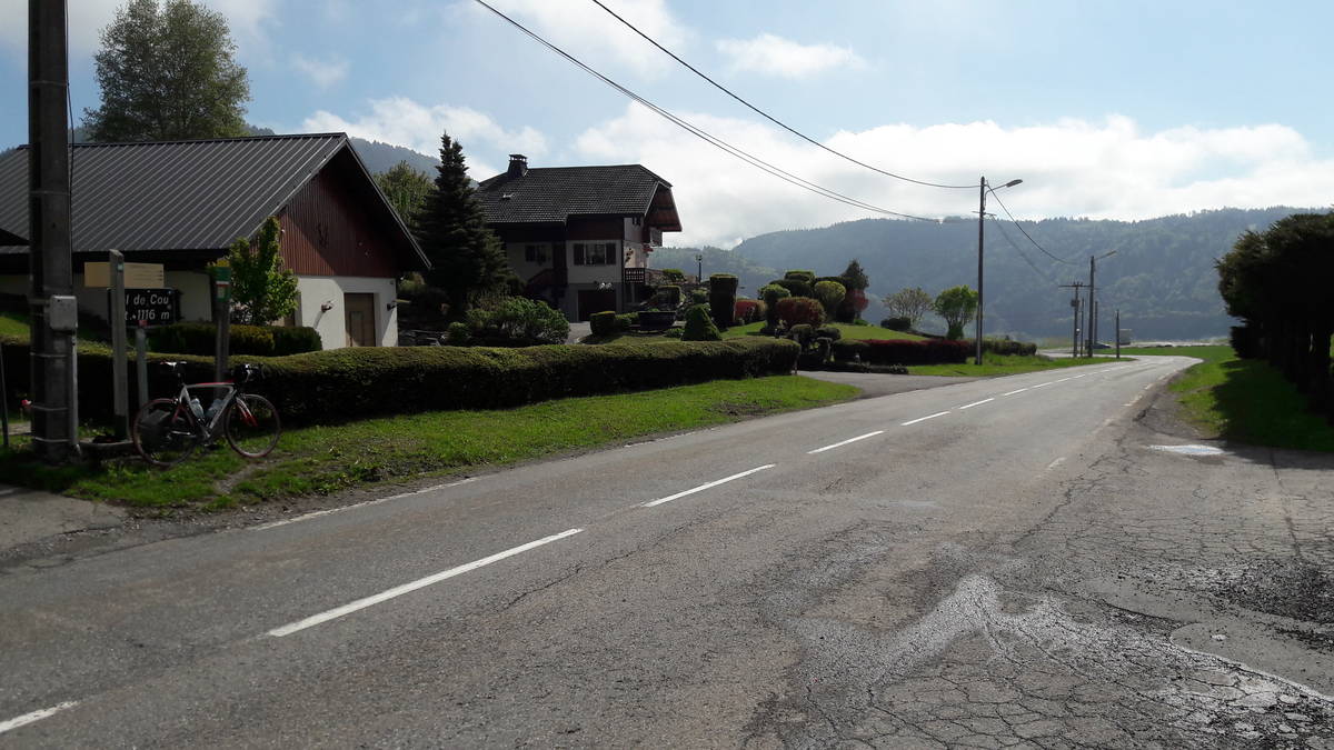
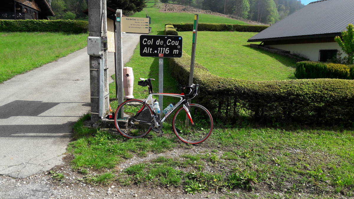
| Name : | Col de Cou |
| Altitude : | 1117 m |
| Start : | Draillant |
| Length : | 9.20 km |
| Elevation gain : | 515 m |
| % Avg : | 5.6% |
| % Max : | 9.0% |
| Mountain range : | Giffre & Chablais, France |
There's other climb of this summit
Map
Profile

 This climb is reserved for cyclists on 18/08/2026 : This climb is reserved for cyclists on 19/08/2025 :