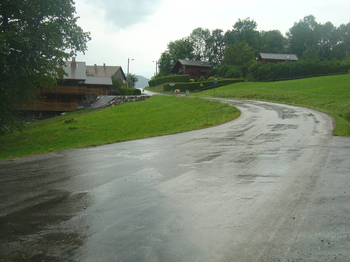
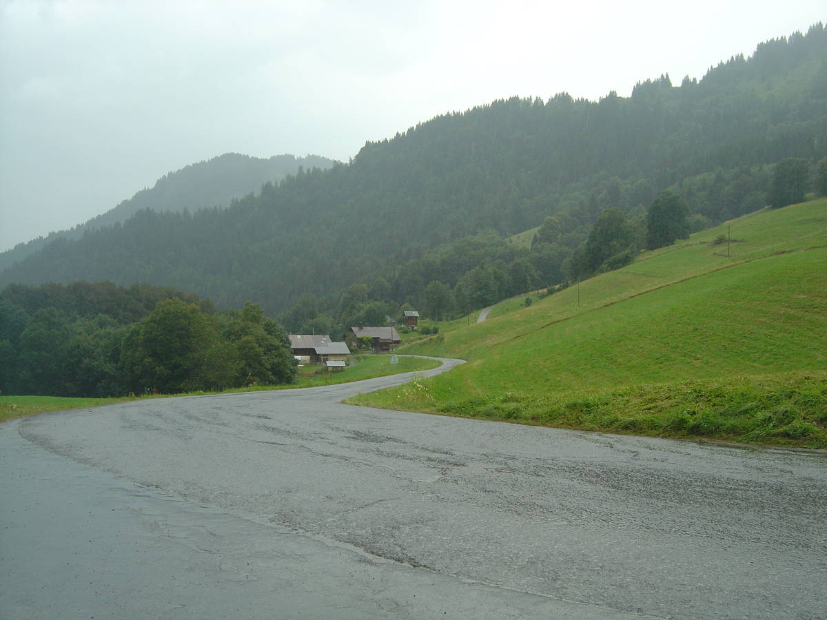
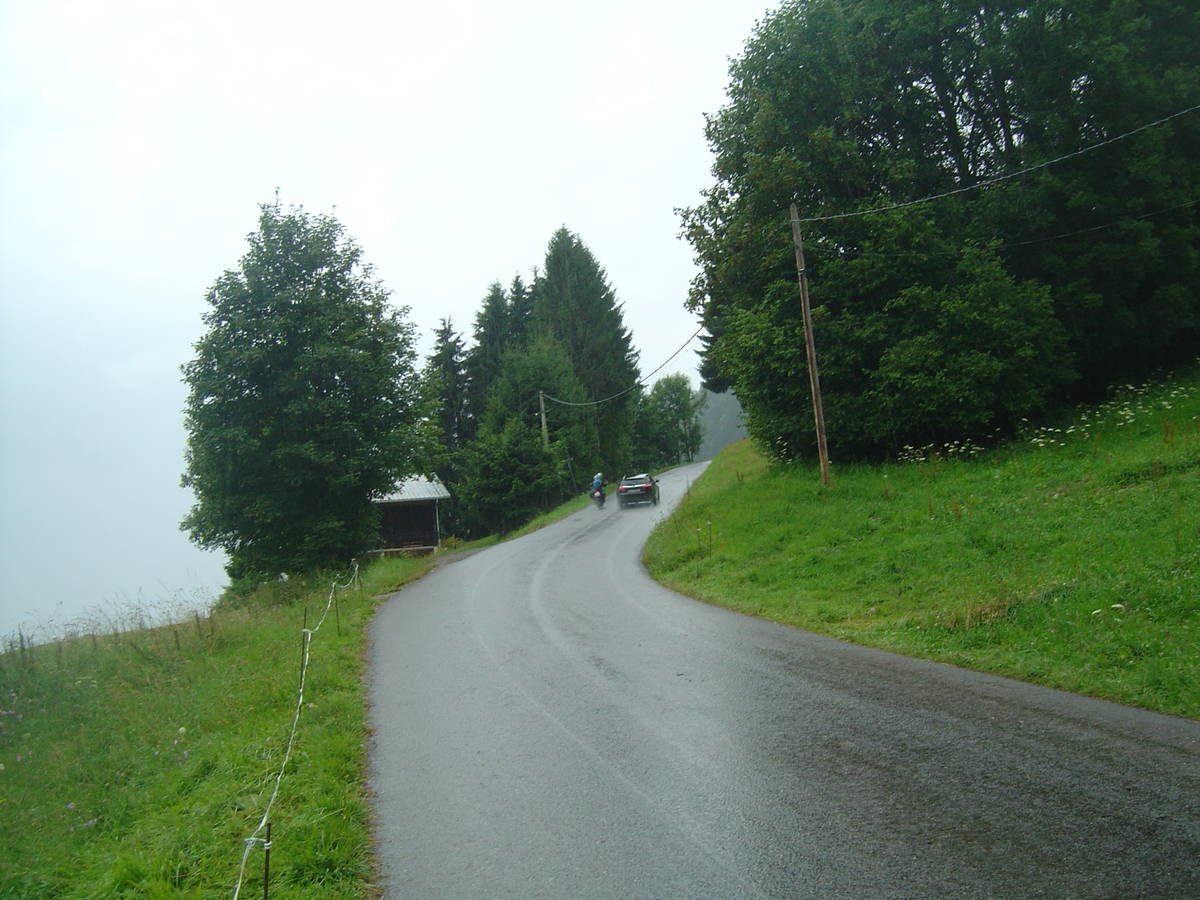
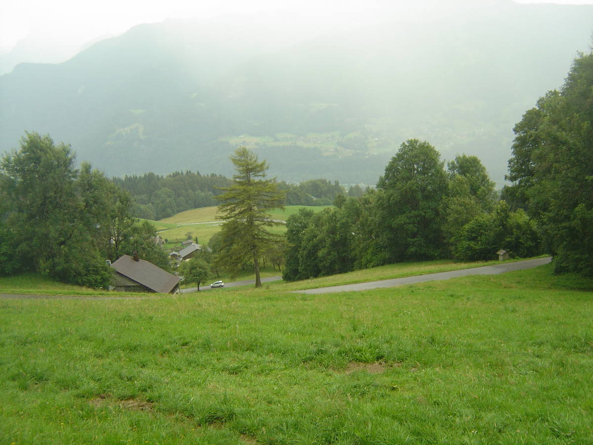
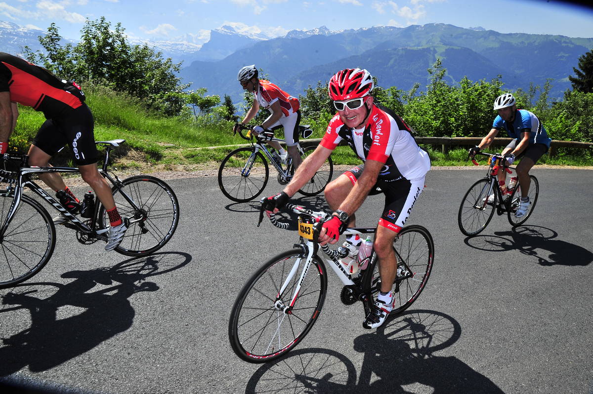
Information
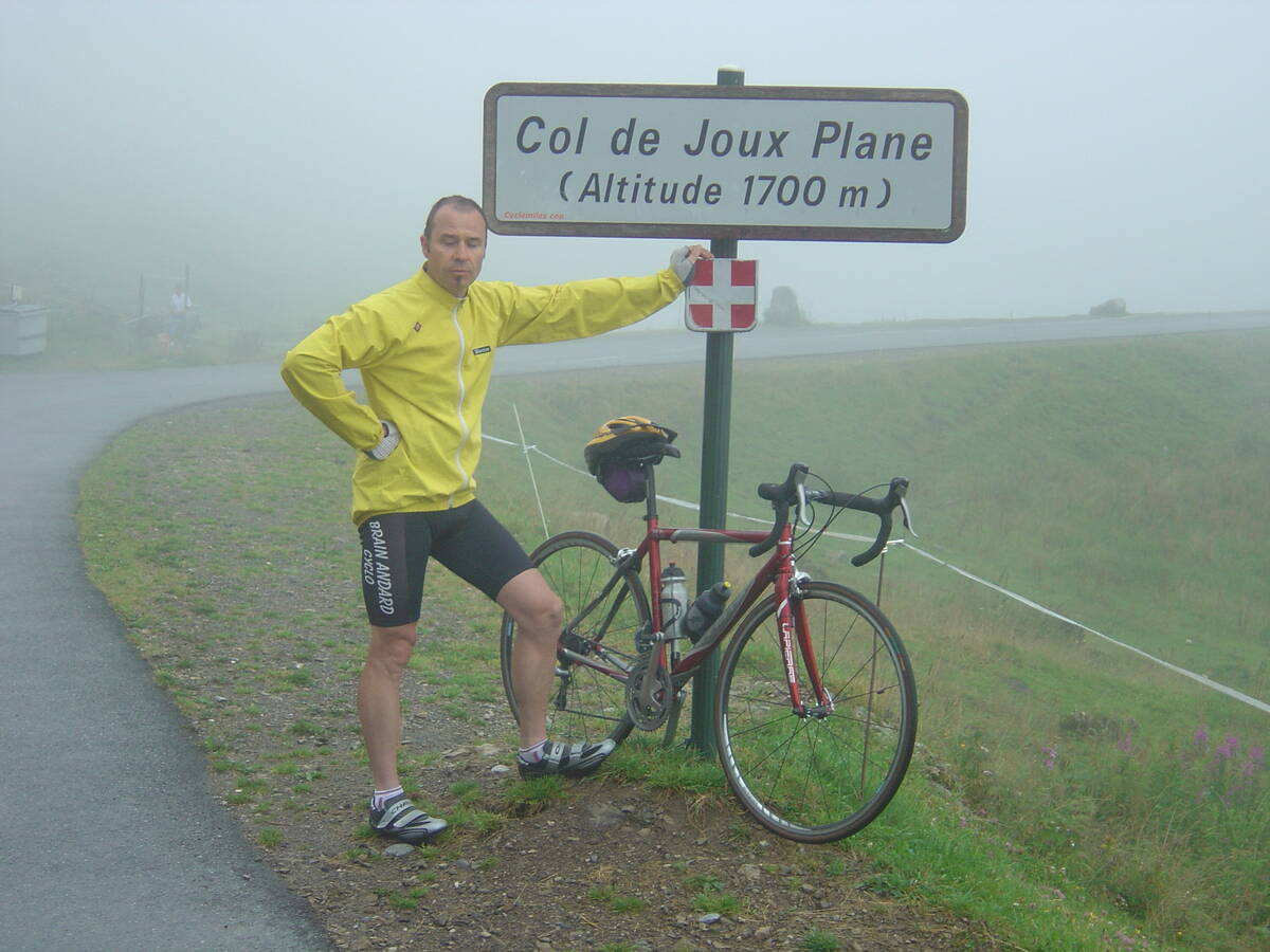
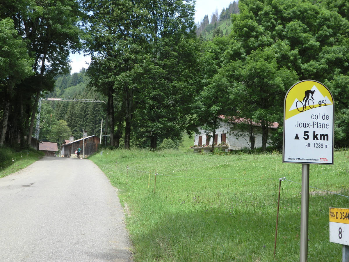
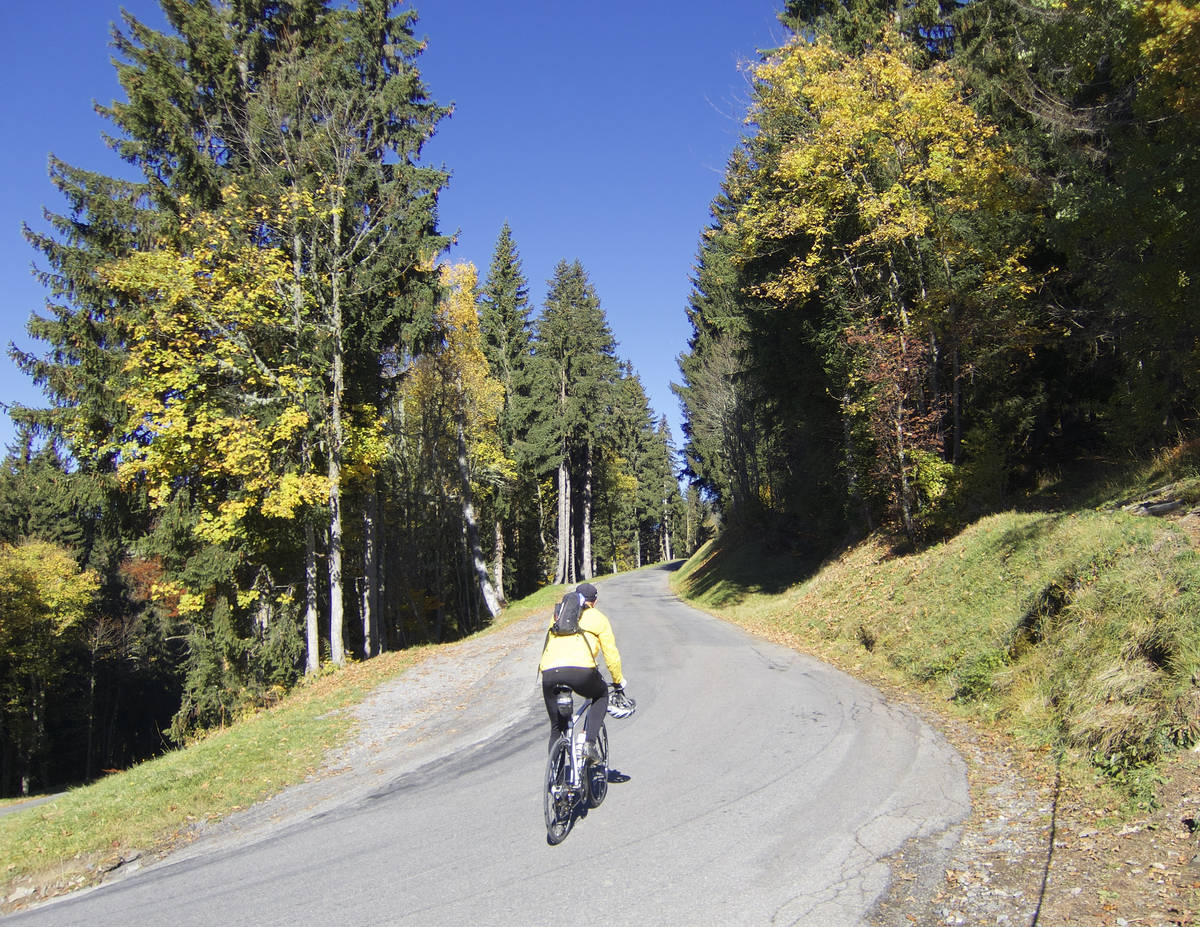
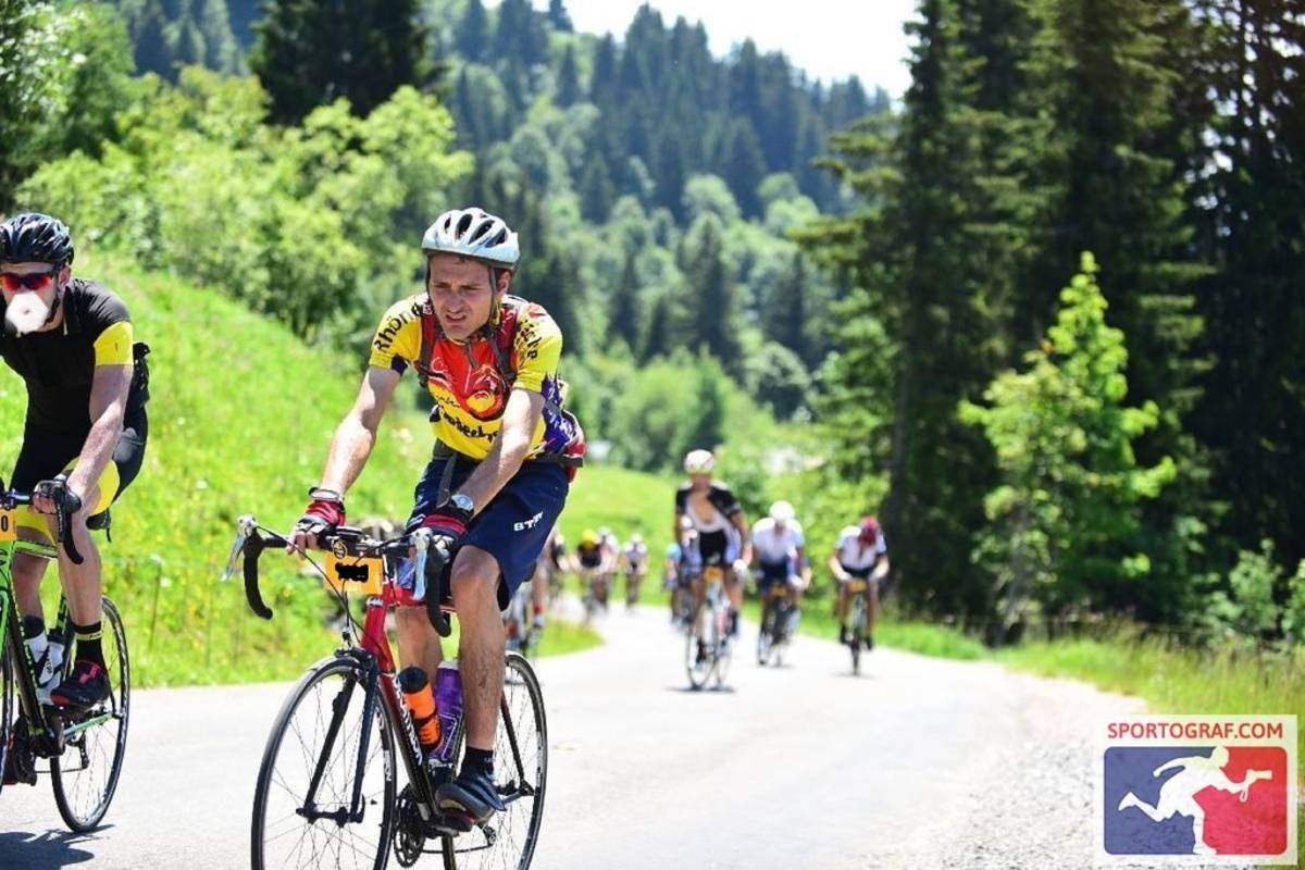
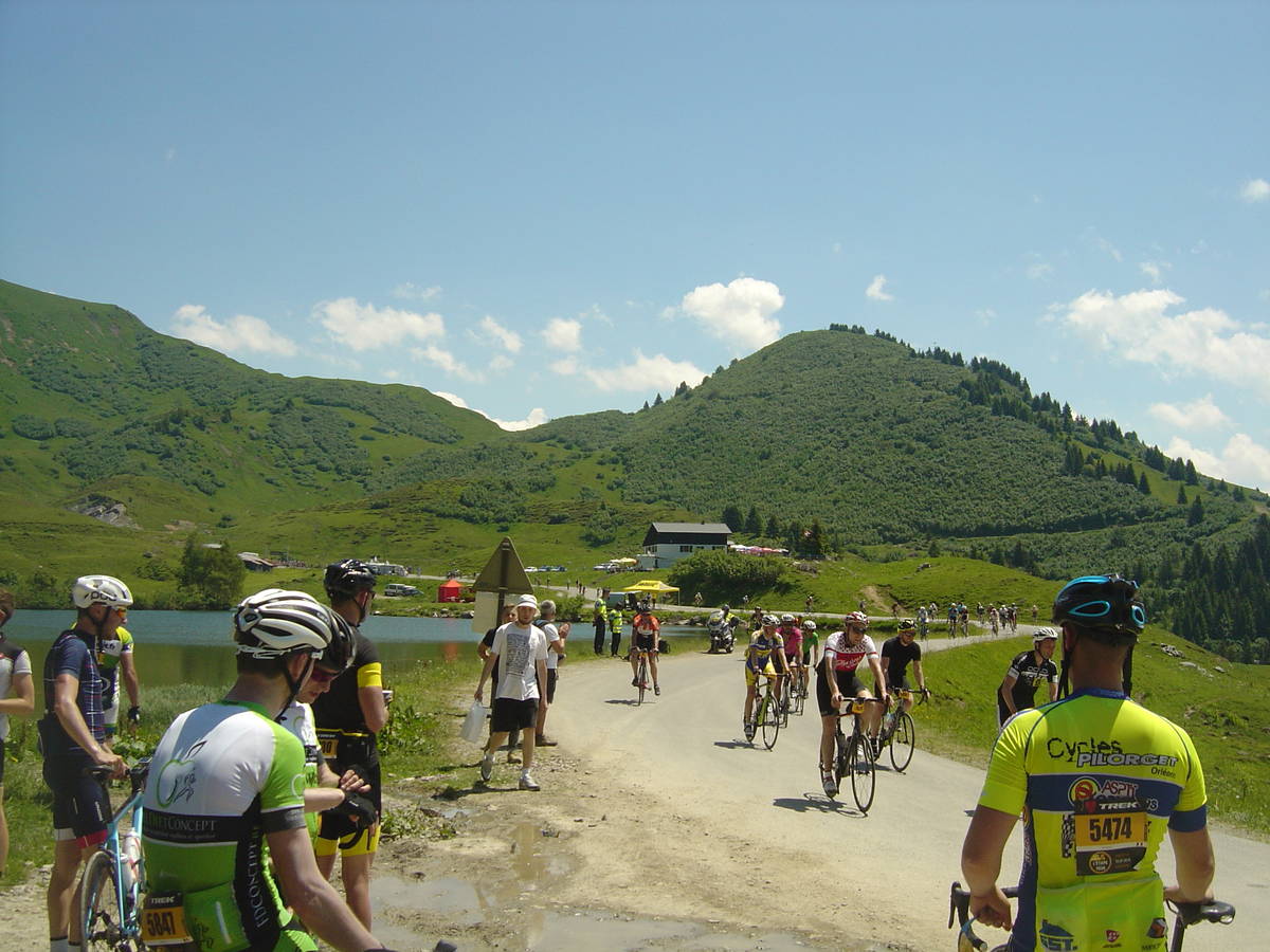
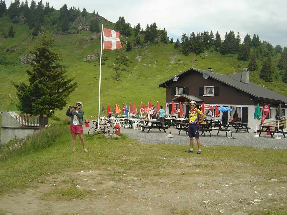
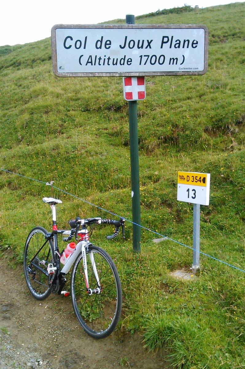
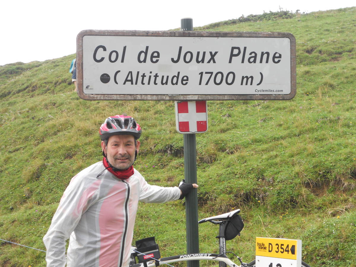
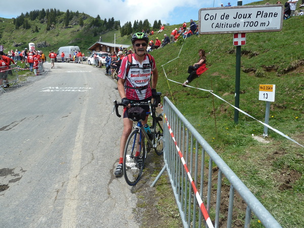
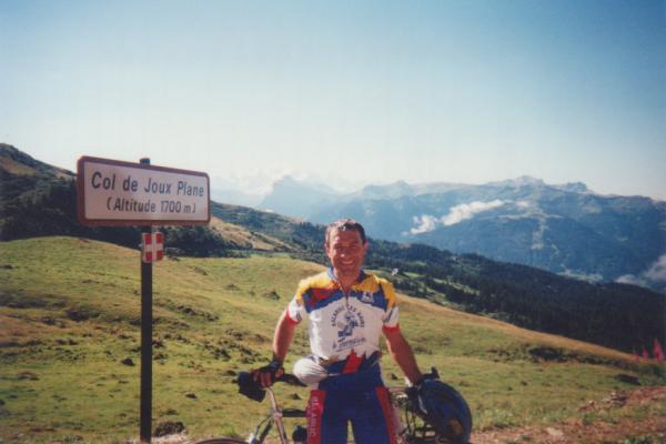
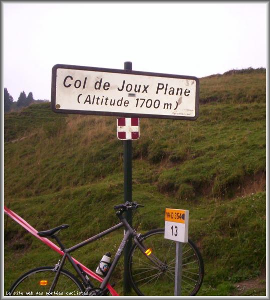
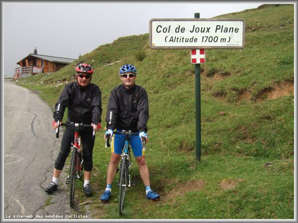
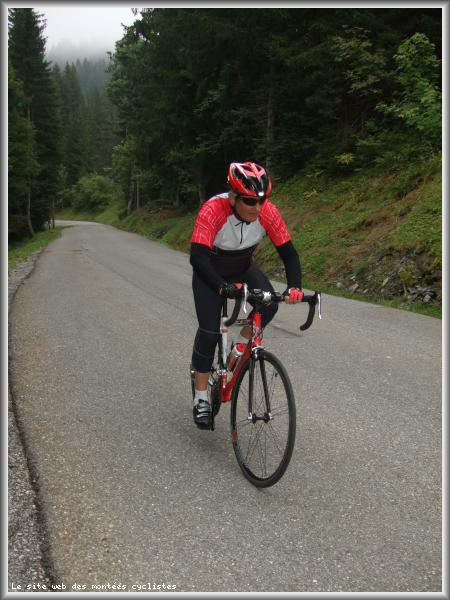
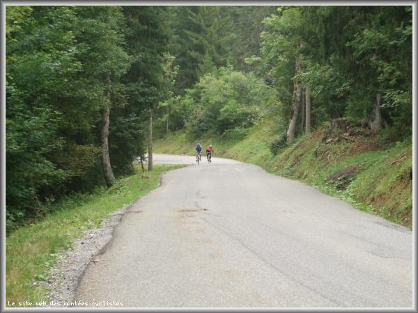
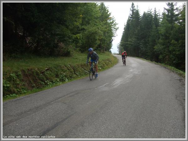
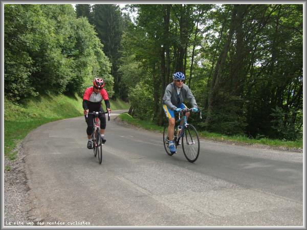
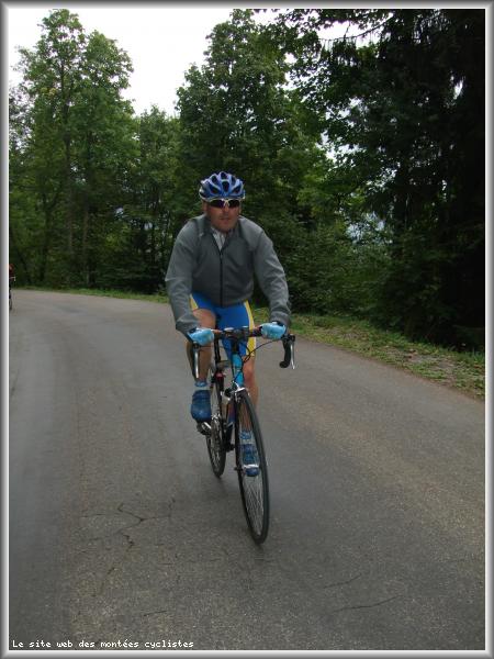
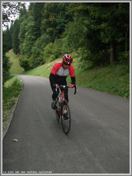
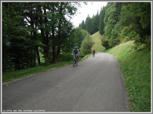
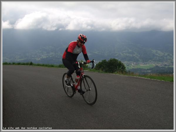
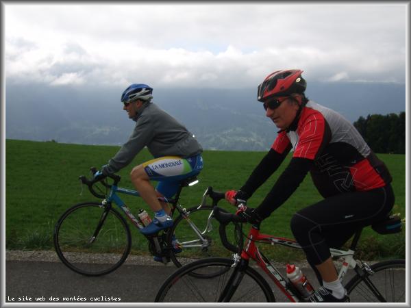
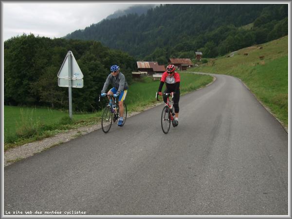
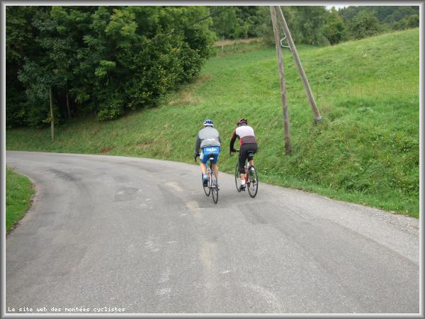
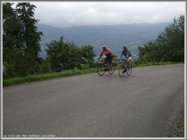
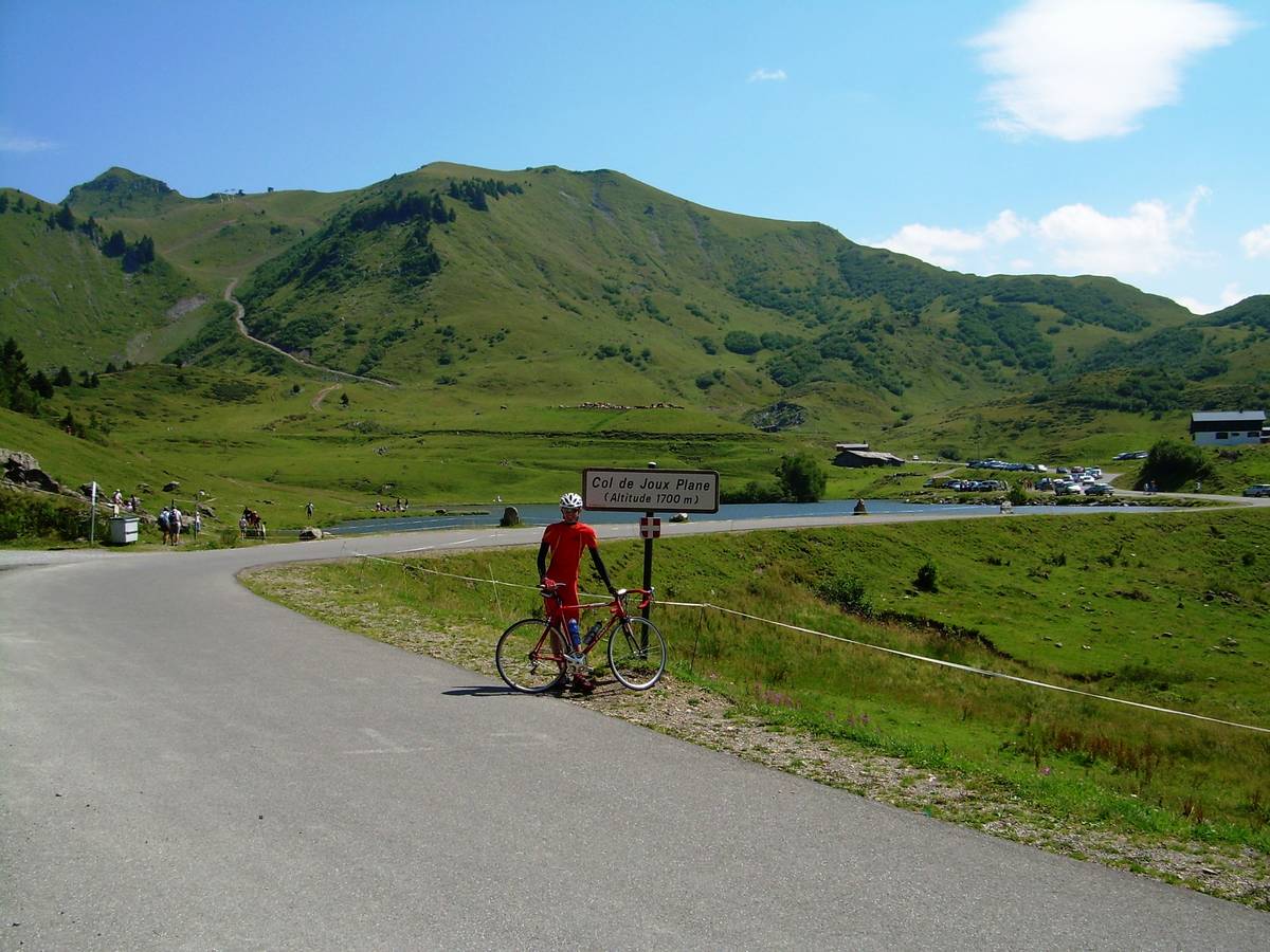
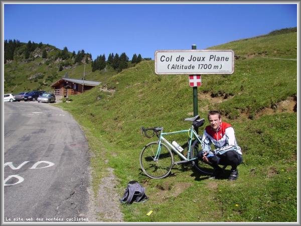
| Name : | Col de Joux Plane |
| Altitude : | 1691 m |
| Opening : |  Ouvert Ouvert |
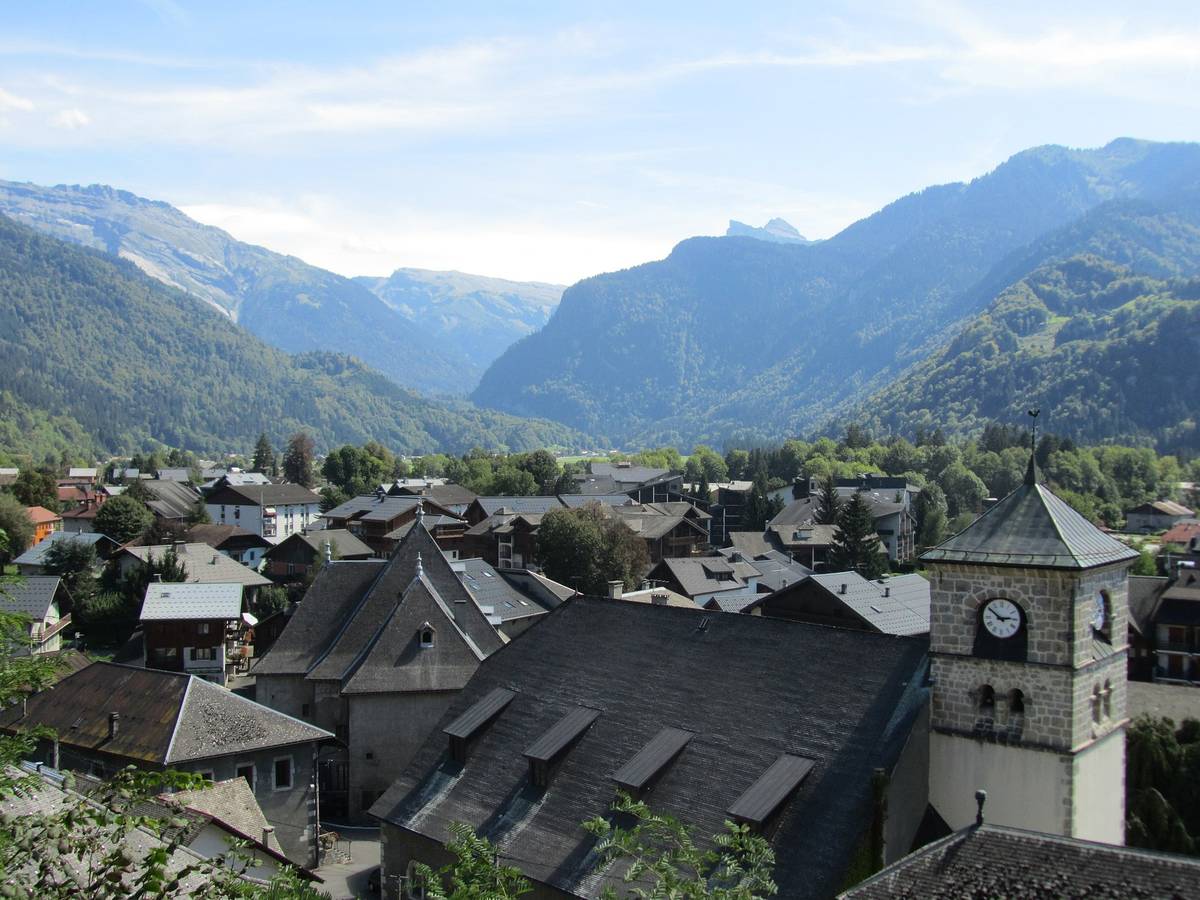
| Start : | Samoëns |
| Length : | 11.50 km |
| Elevation gain : | 988 m |
| % Avg : | 8.59% |
| % Max : | 11.6% |
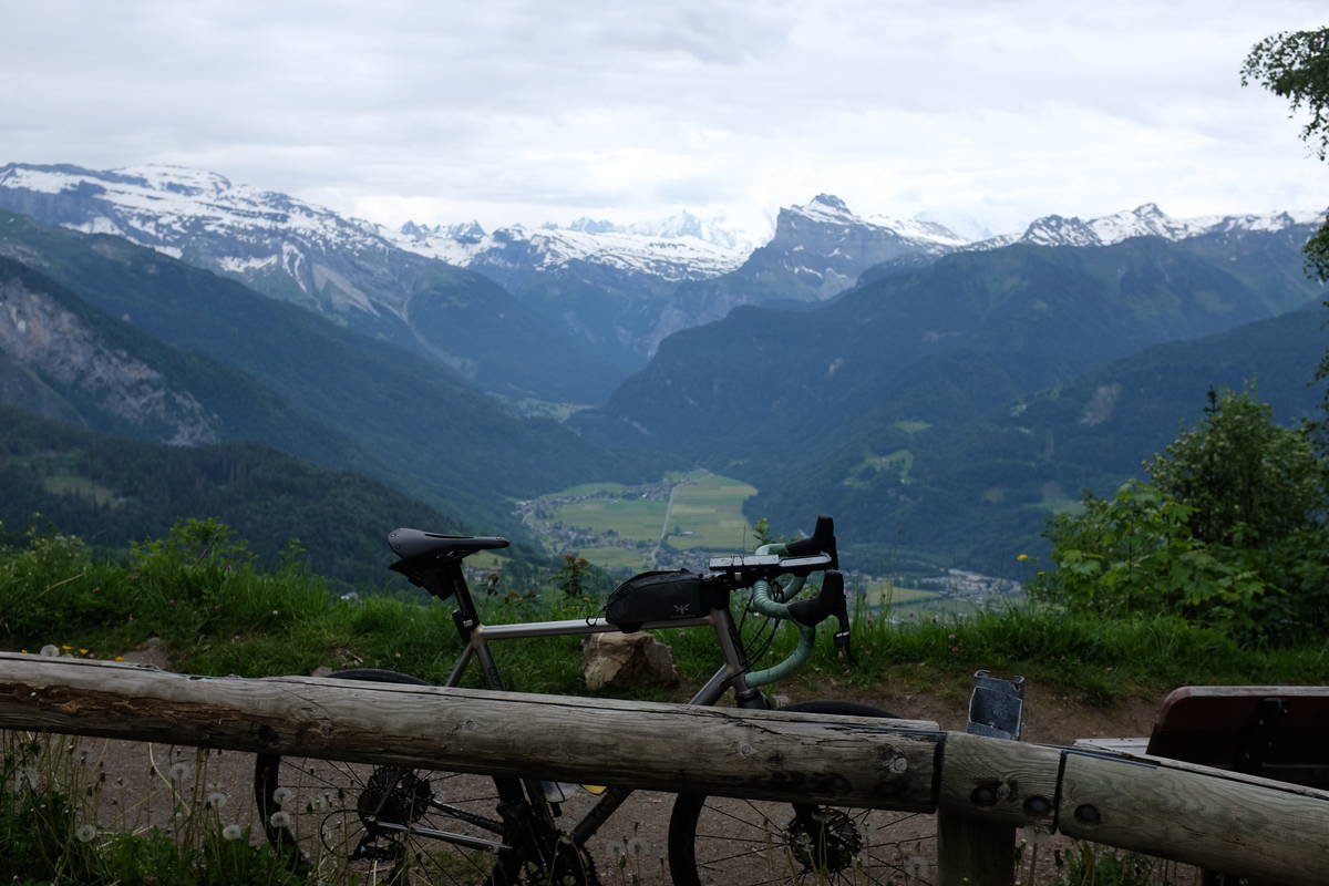
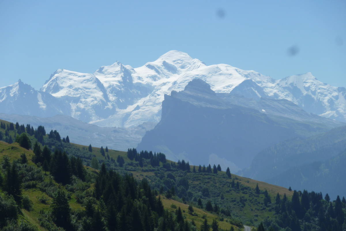
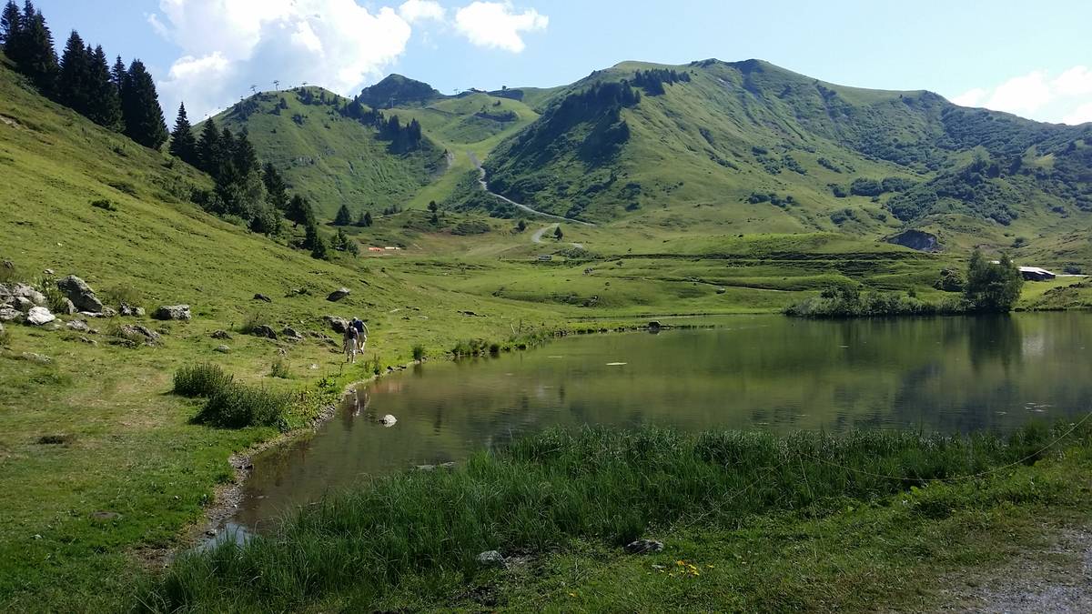
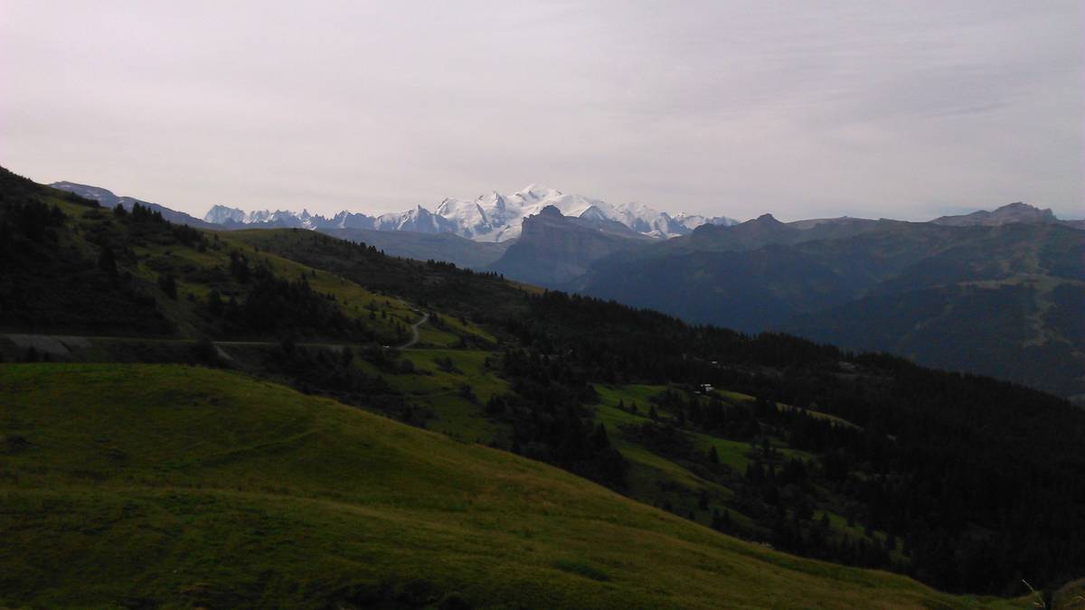
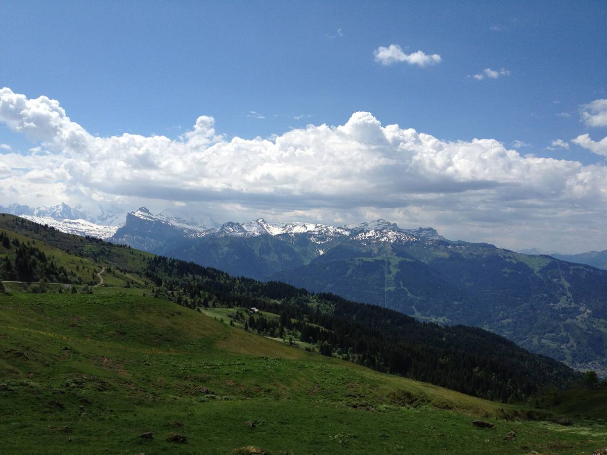
| Mountain range : | Giffre & Chablais, France |
There's other climb of this summit
Map
Profile

 This climb is reserved for cyclists on 20/07/2025 : This climb is reserved for cyclists on 23/07/2023 : This climb is reserved for cyclists on 24/07/2022 : This climb is reserved for cyclists on 25/07/2021 : This climb is reserved for cyclists on 28/07/2019 :