Information
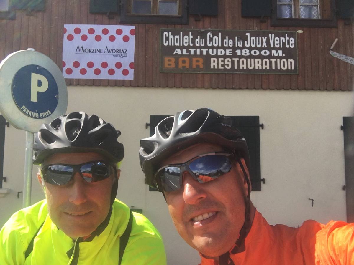
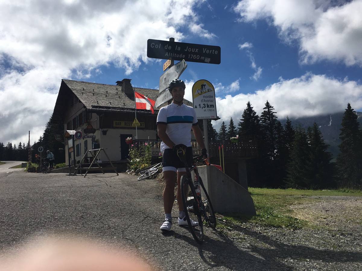
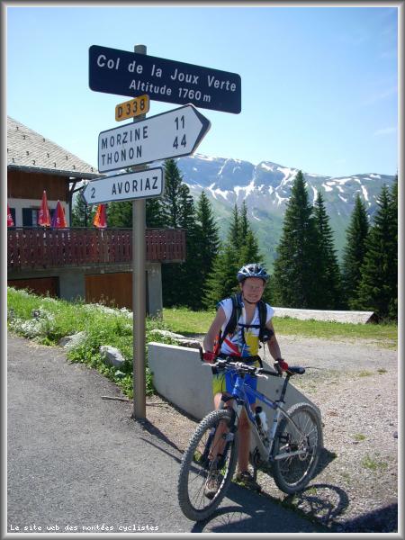
| Name : | Col de Joux verte |
| Altitude : | 1760 m |
| Opening : |  Ouvert Ouvert |
| Start : | Montriond |
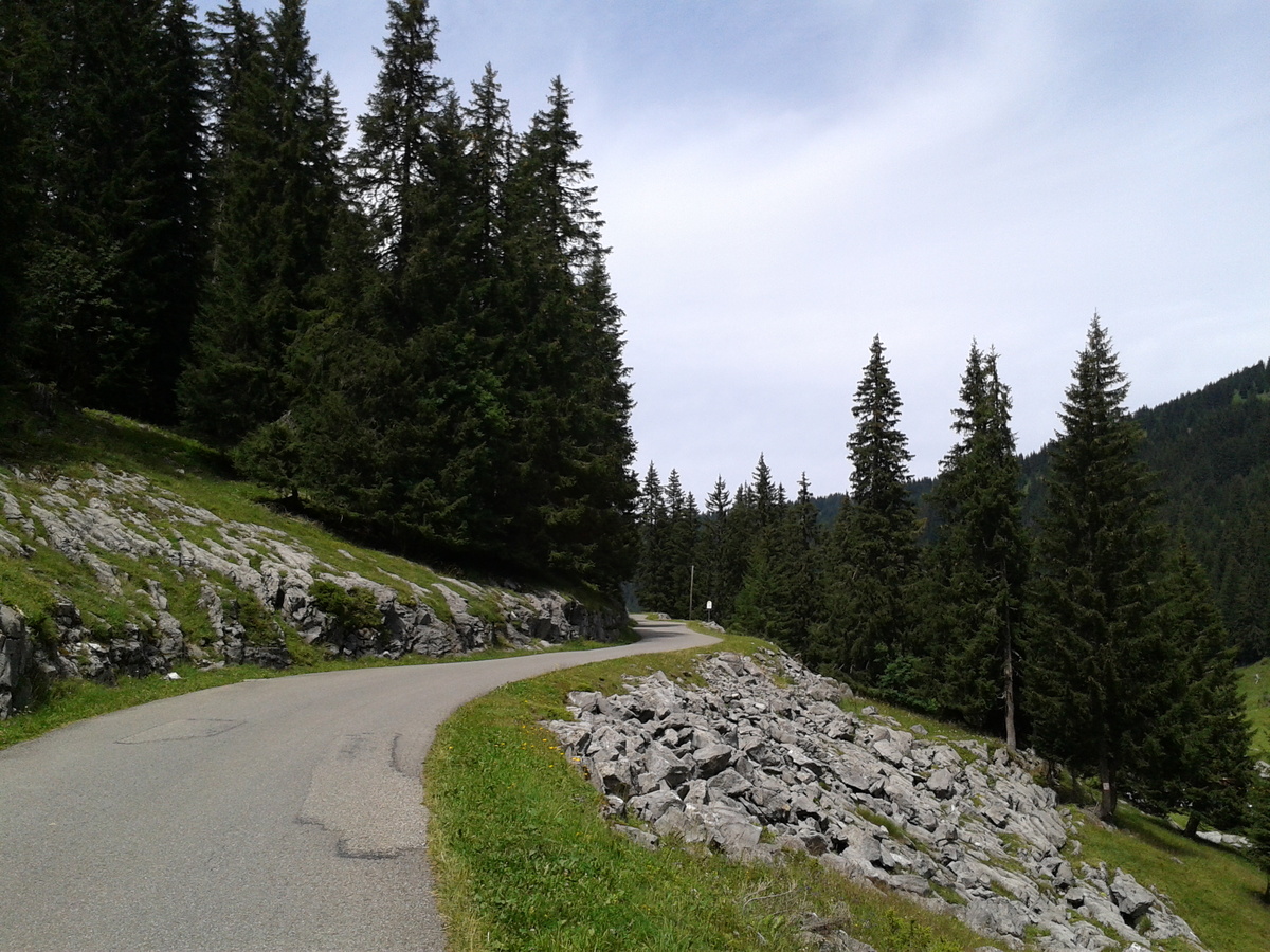
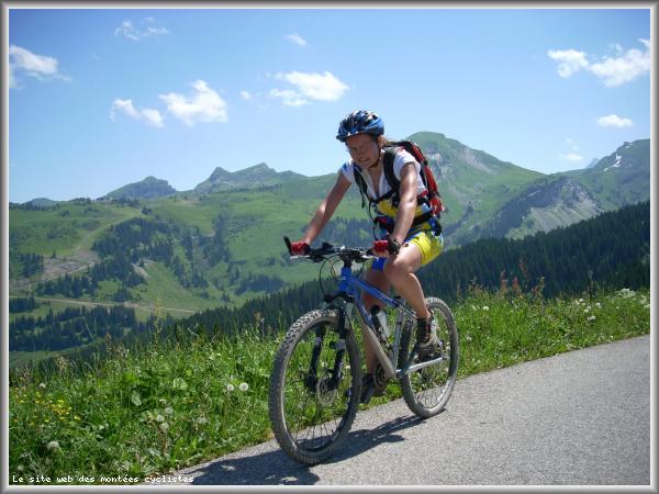
| Length : | 15.20 km |
| Elevation gain : | 876 m |
| % Avg : | 5.76% |
| % Max : | 8.9% |
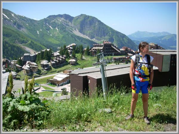
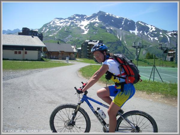
| Mountain range : | Giffre & Chablais, France |
There's other climb of this summit
Map
Profile

 This climb is reserved for cyclists on 28/07/2026 : This climb is reserved for cyclists on 12/08/2025 :