Information
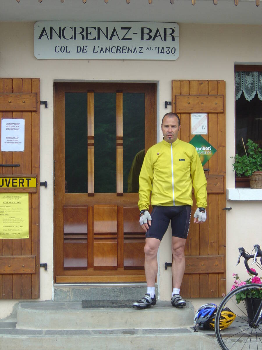
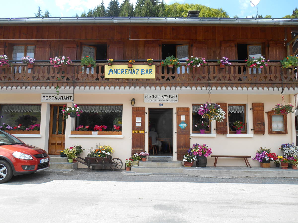
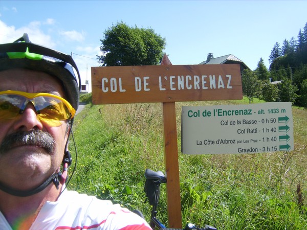
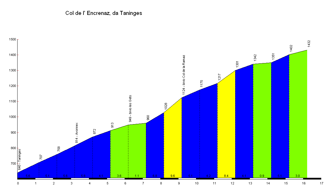
| Name : | Col de l'Encrenaz |
| Altitude : | 1432 m |
| Opening : |  Ouvert Ouvert |
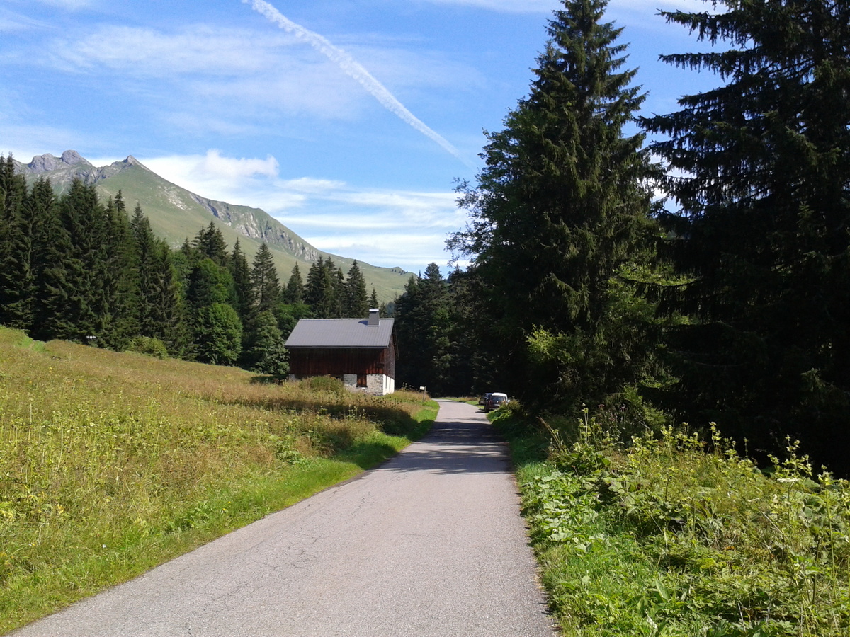
| Start : | Taninges |
| Length : | 16.20 km |
| Elevation gain : | 792 m |
| % Avg : | 4.89% |
| % Max : | 9.6% |
| Mountain range : | Giffre & Chablais, France |
There's other climb of this summit
Map
Profile
 Ascents reserved for cyclists