Information
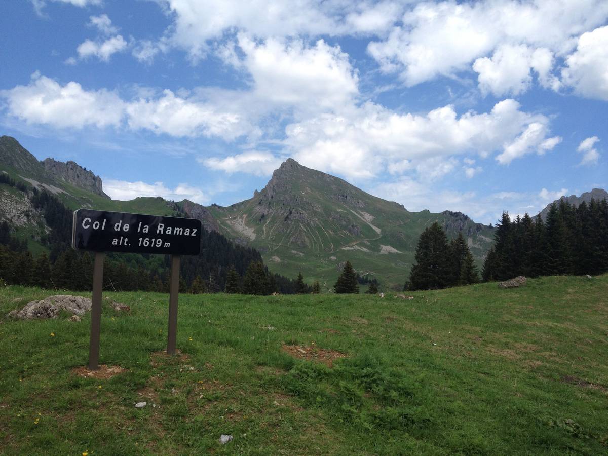
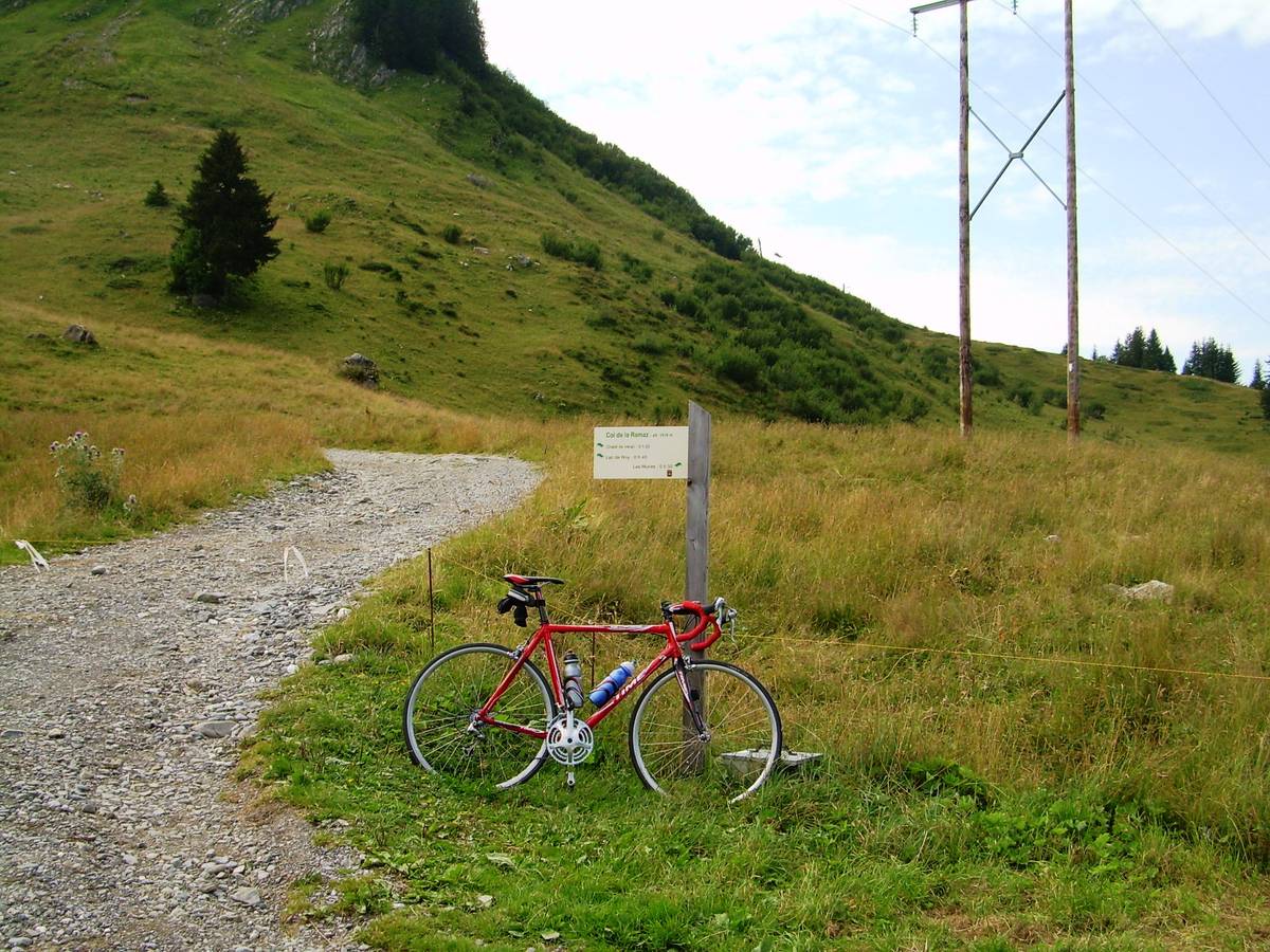
| Name : | Col de la Ramaz |
| Altitude : | 1616 m |
| Opening : |  Ouvert Ouvert |
| Start : | Taninges |
| Length : | 16.00 km |
| Elevation gain : | 970 m |
| % Avg : | 6.06% |
| % Max : | 10.6% |
| Mountain range : | Giffre & Chablais, France |
There's other climb of this summit
Map
Profile

 Ascents reserved for cyclists