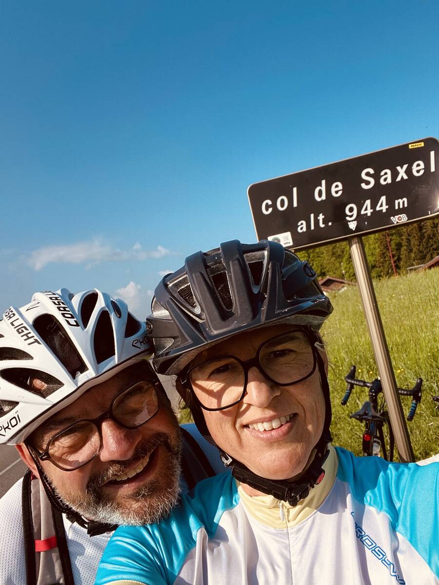
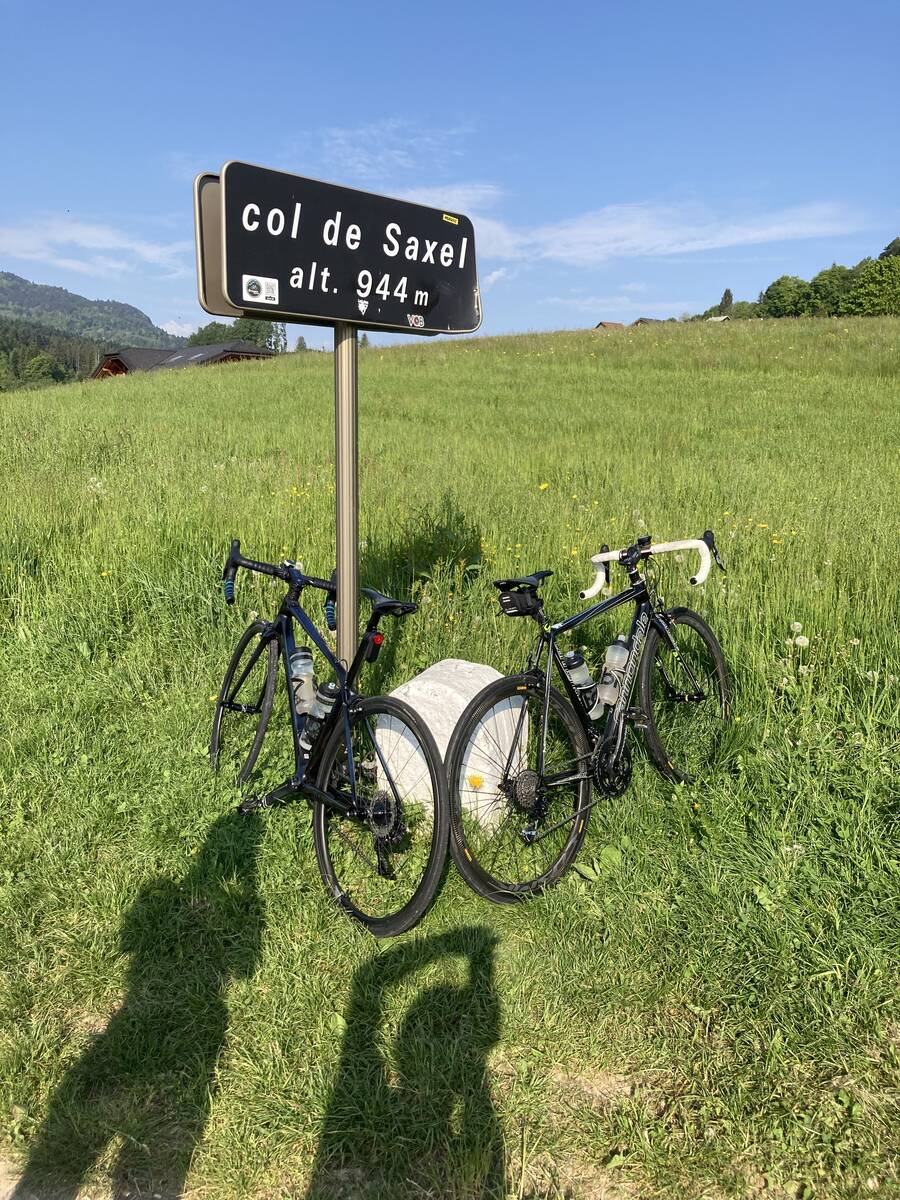
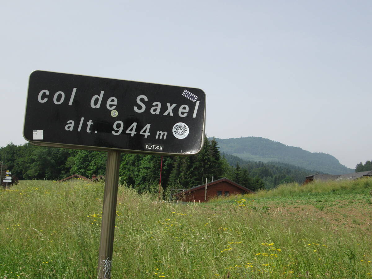
Information
There's other climb of this summit
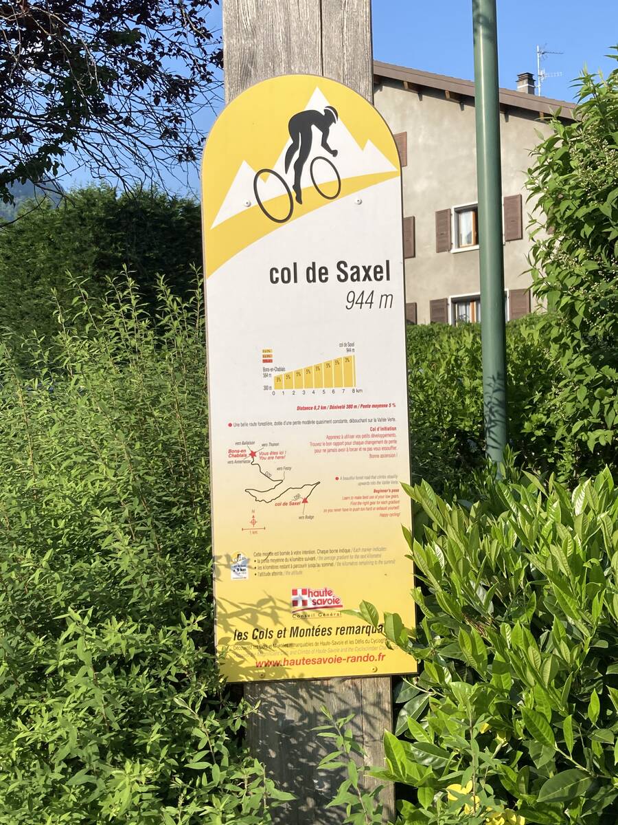
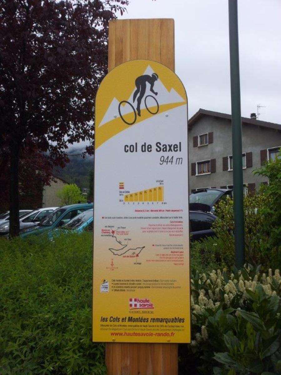
Map
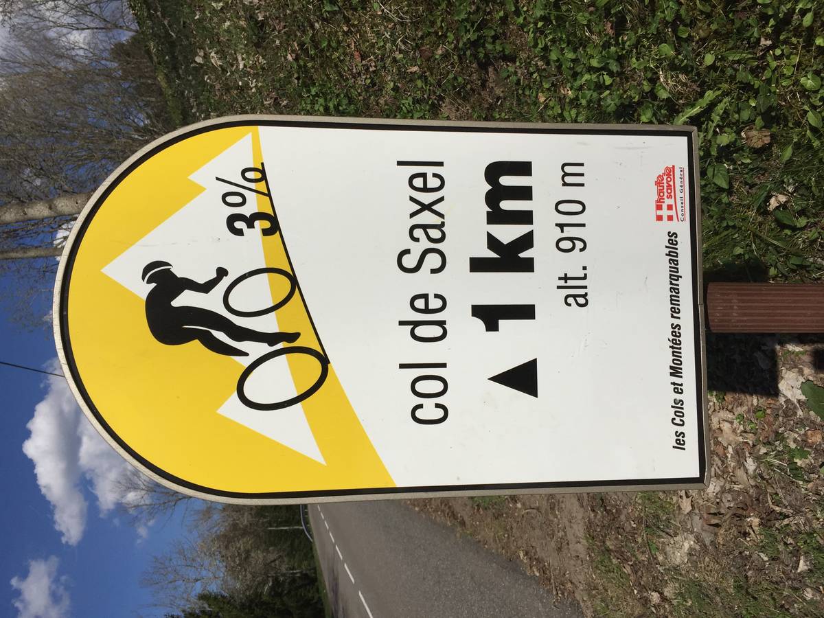
Profile
Login or Create your account
00:34:16 • Peter b E • Comment posted on 23/05/2018
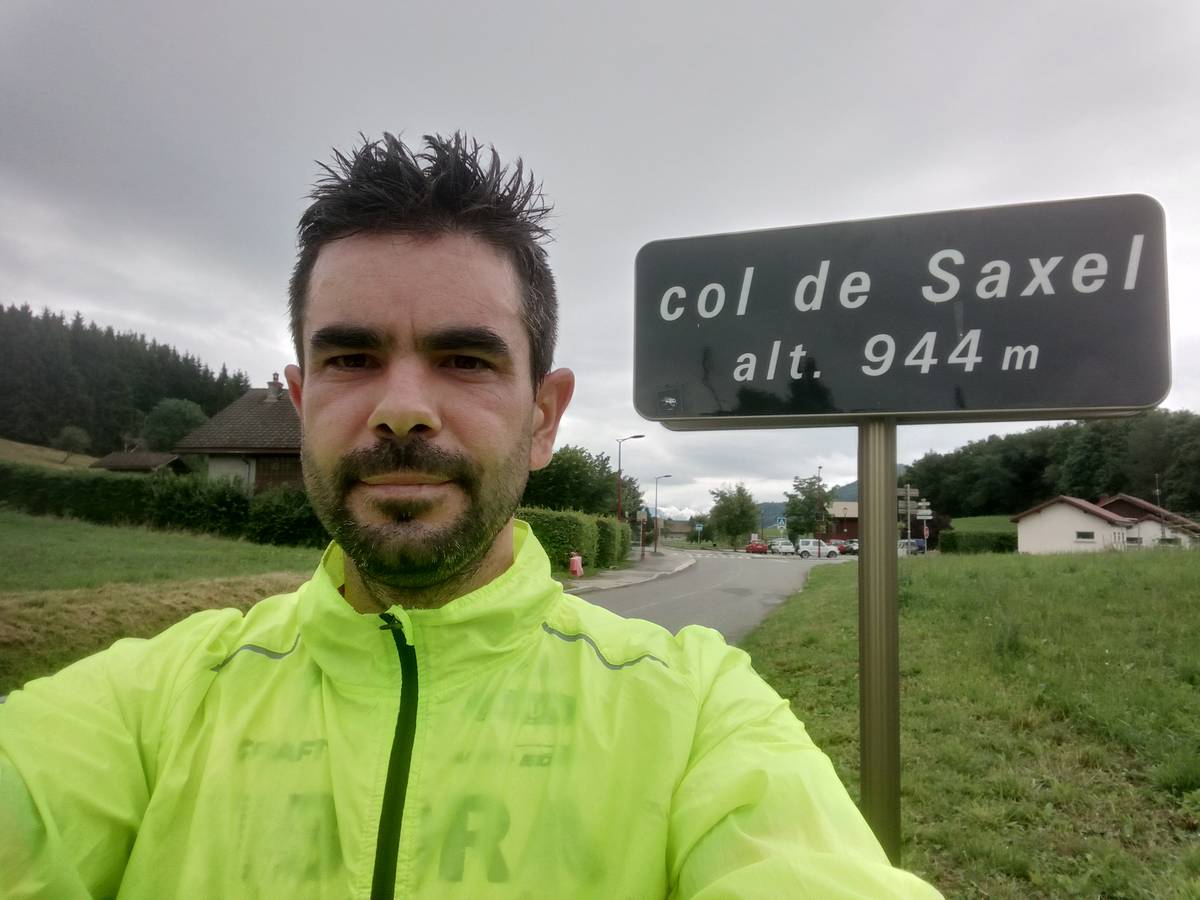
Choose a picture :
Message :
Climbing time :

 Ascents reserved for cyclists