Information
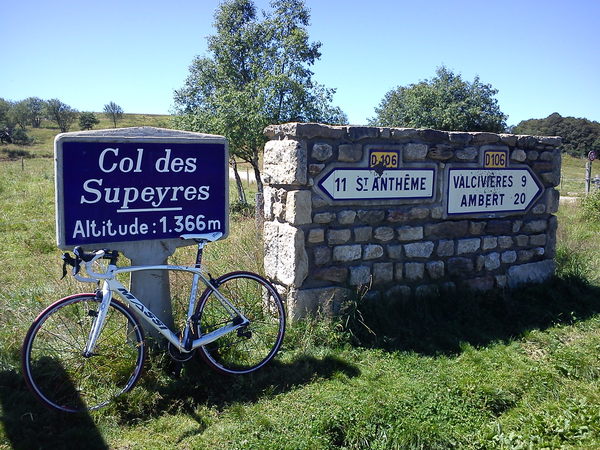
There's other climb of this summit
Map
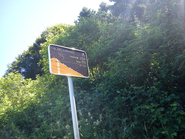
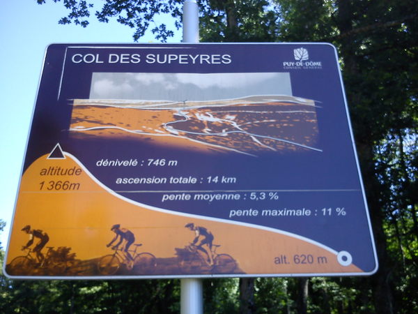
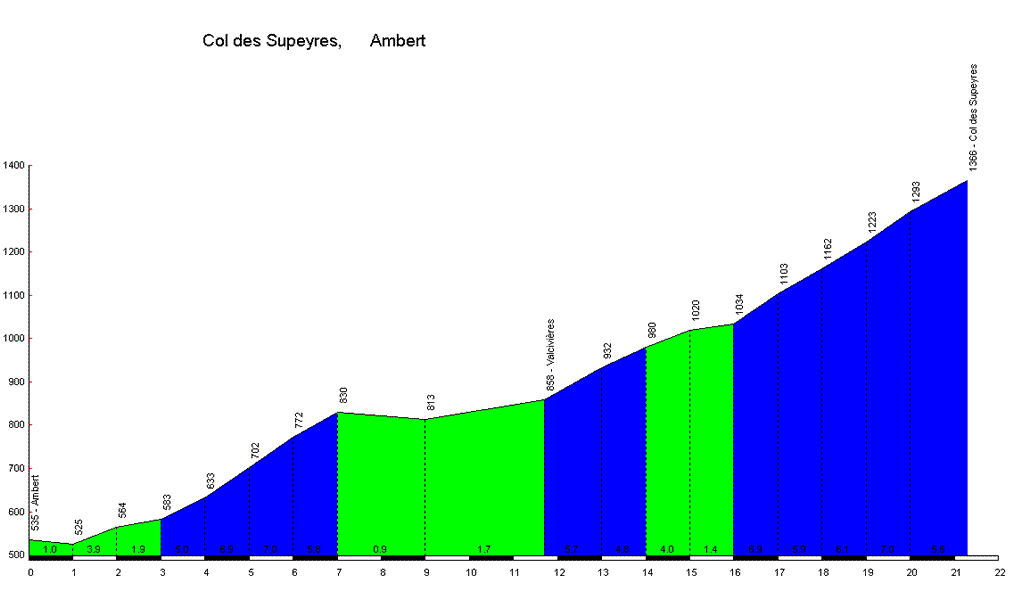
Profile
Login or Create your account
00:00:00 • Richard B • Comment posted on 21/08/2018
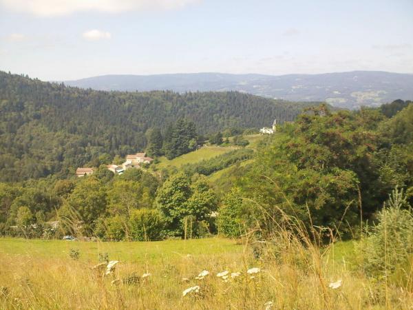
20/08/2018 - Very nice steady climb.
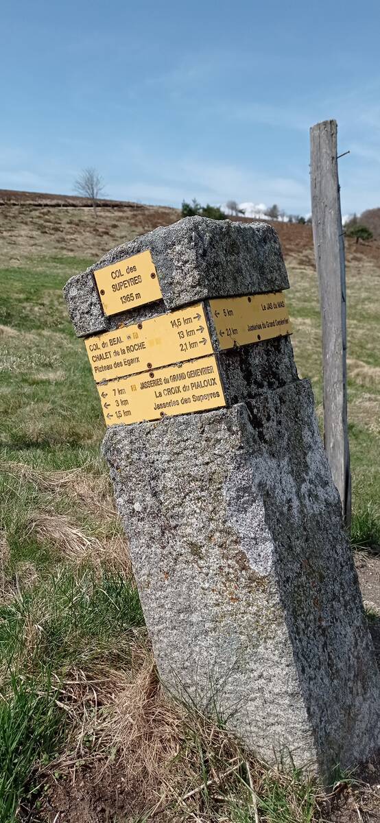
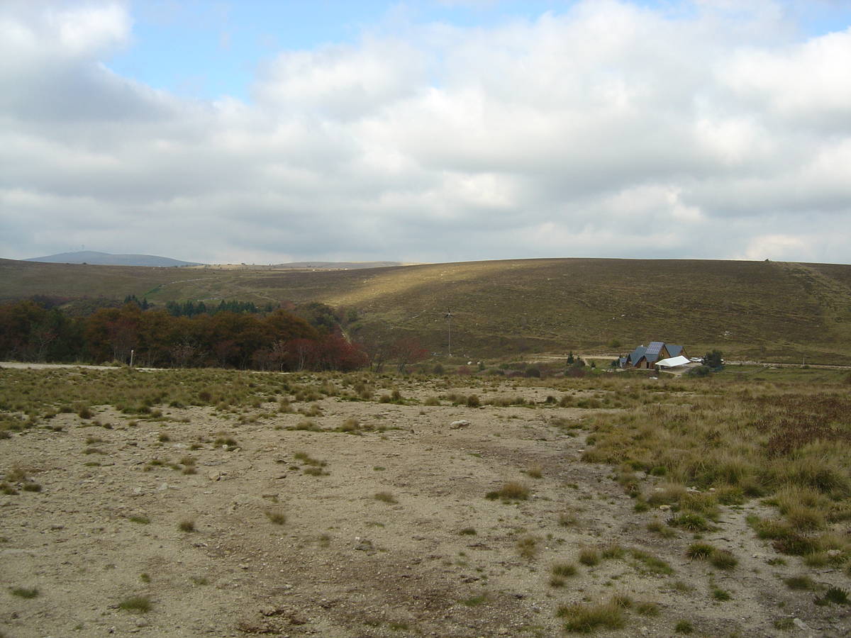
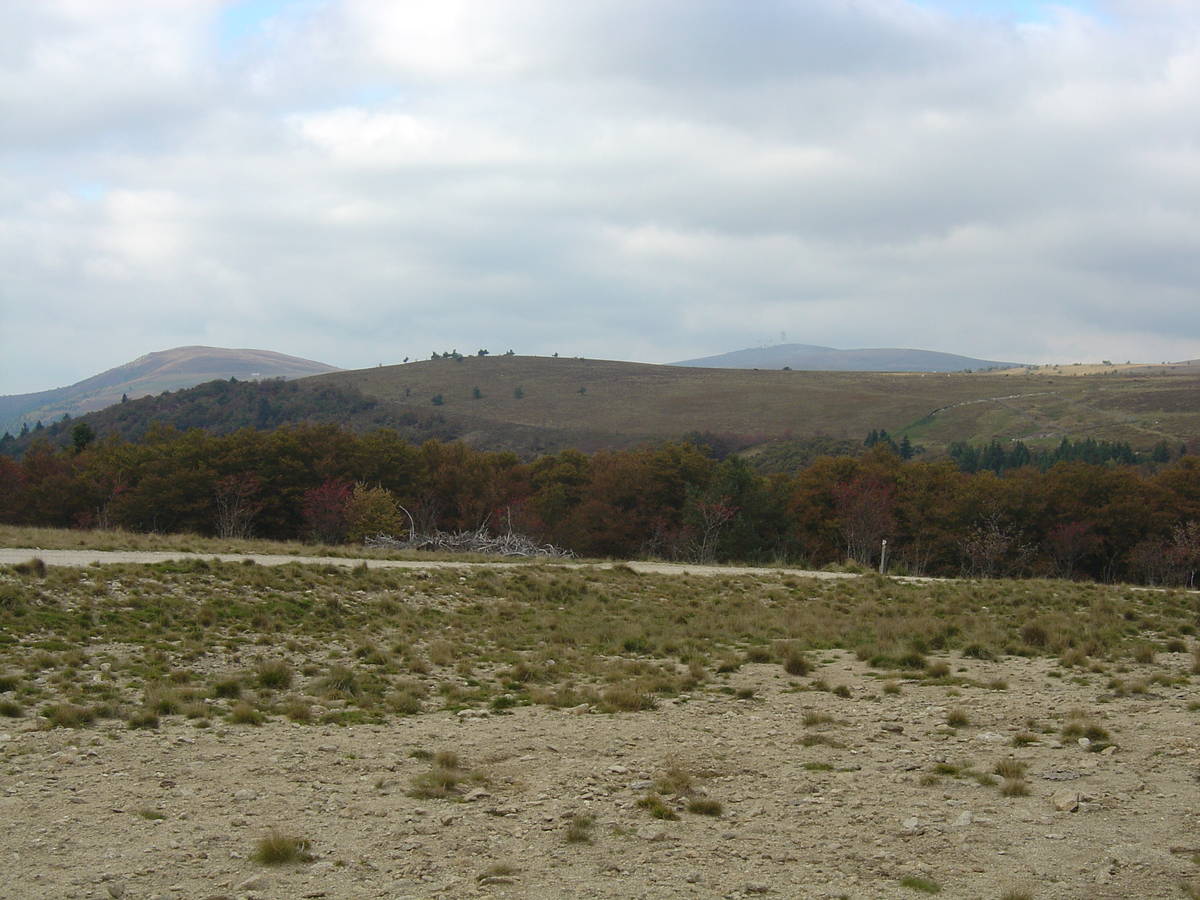
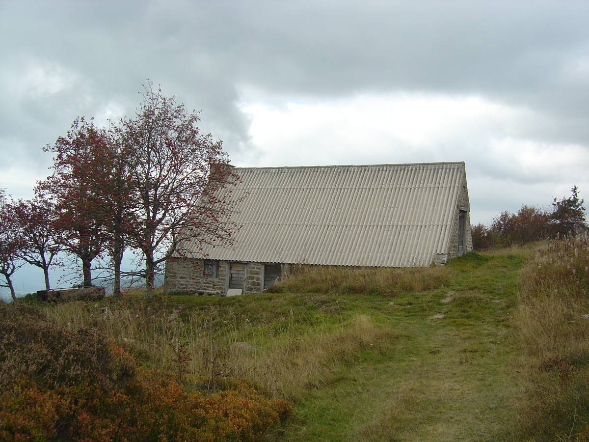
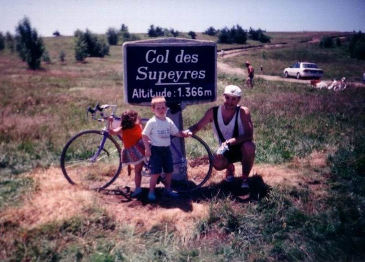
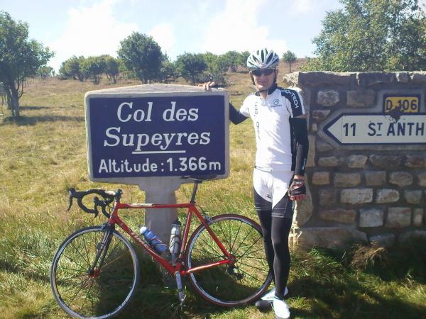
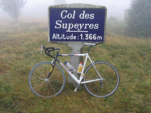
Choose a picture :
Message :
Climbing time :
 Ascents reserved for cyclists