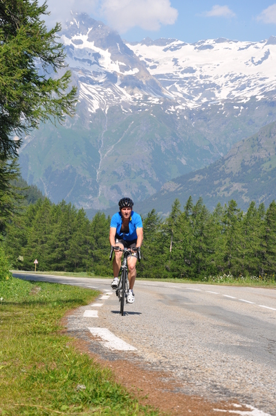
Information
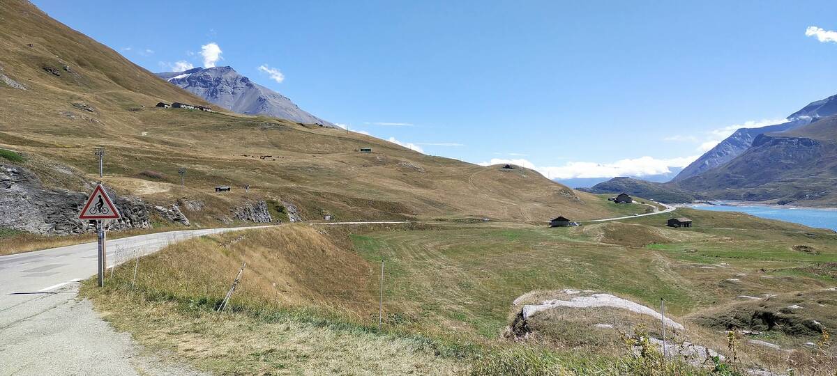
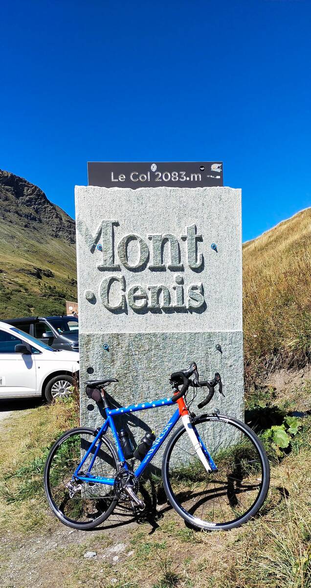
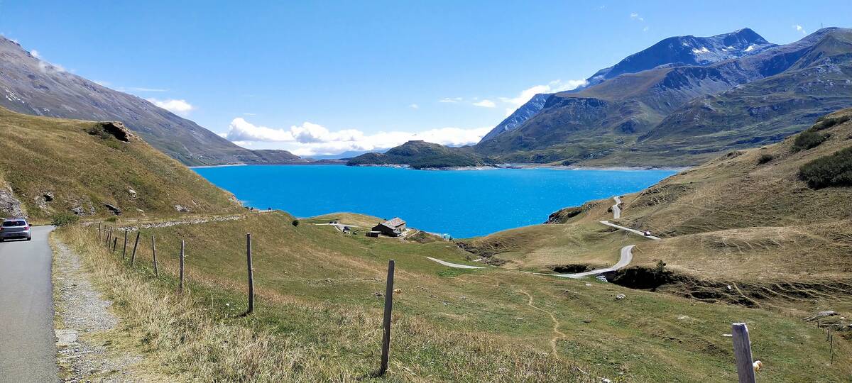
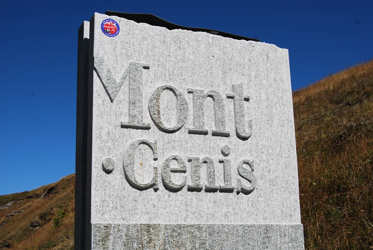
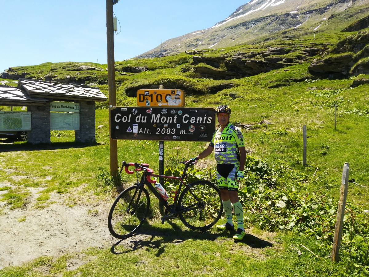
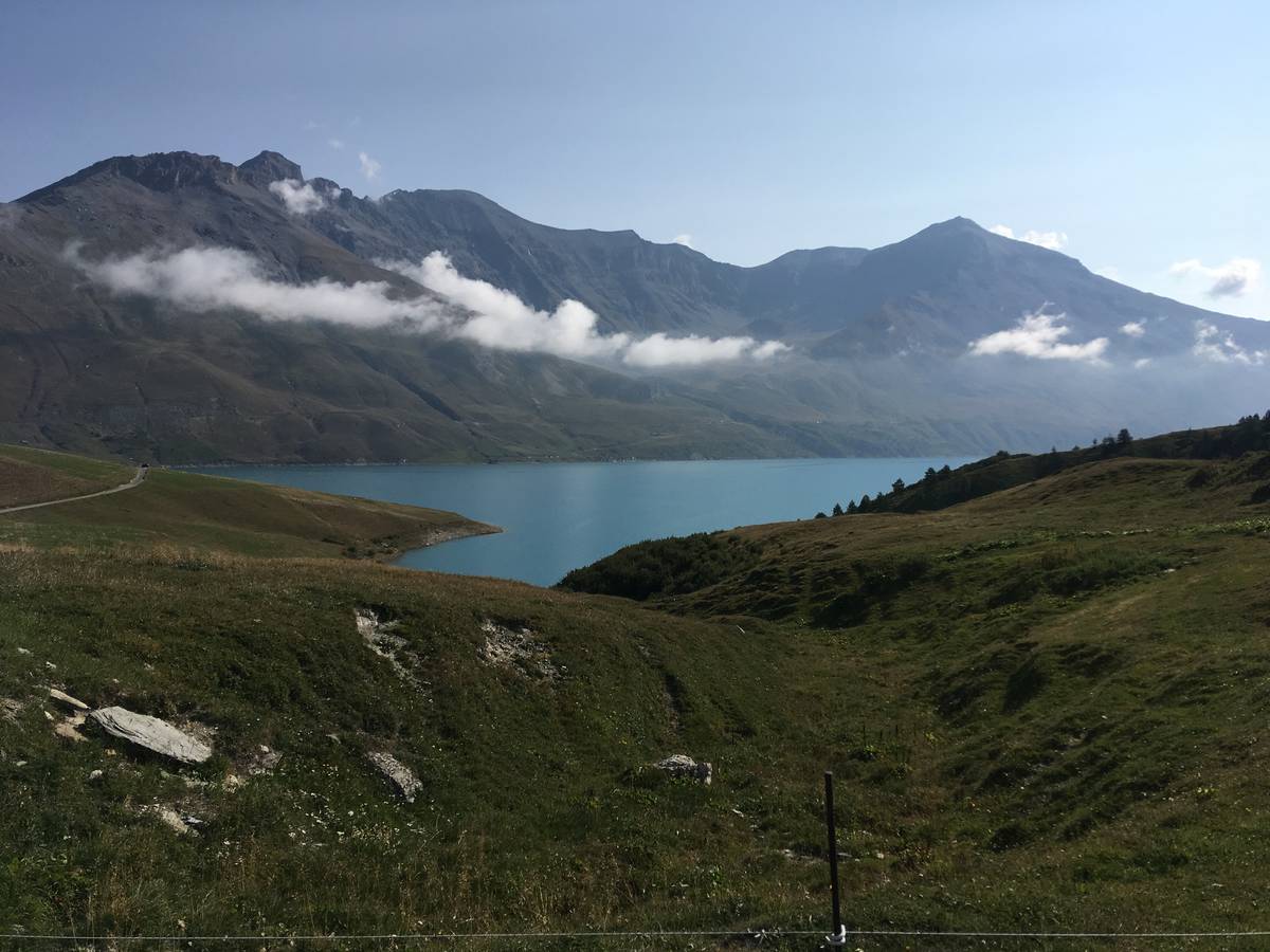
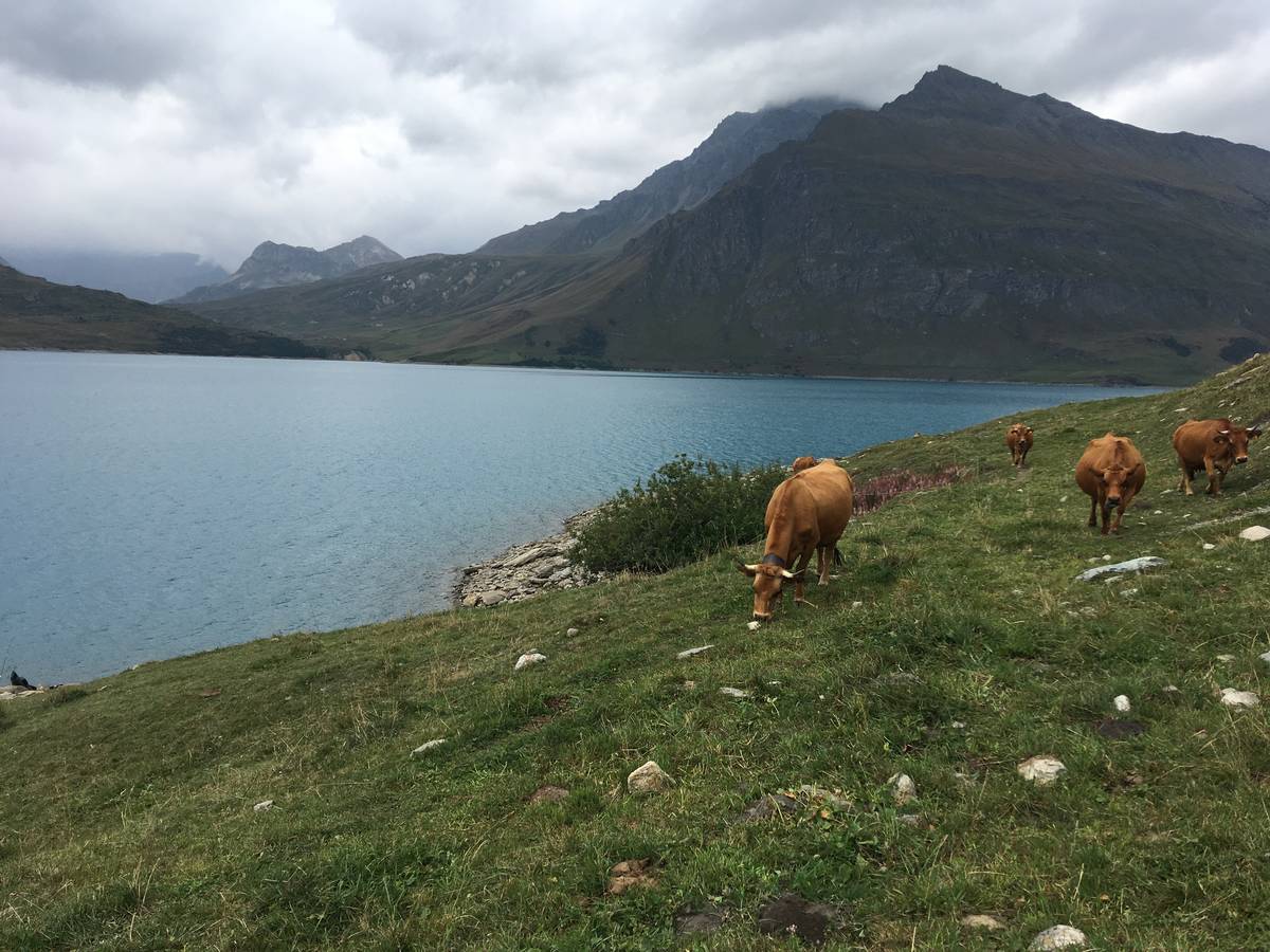
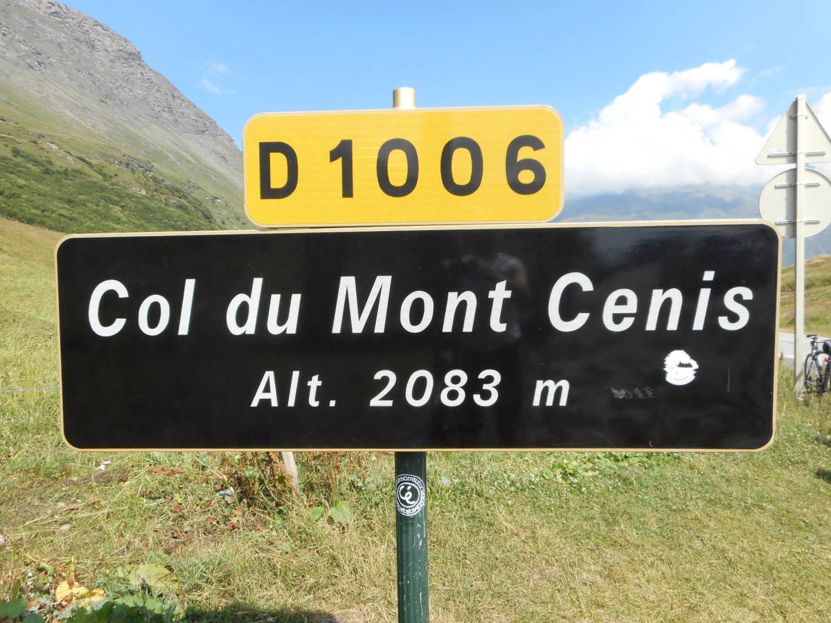
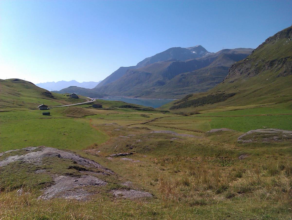
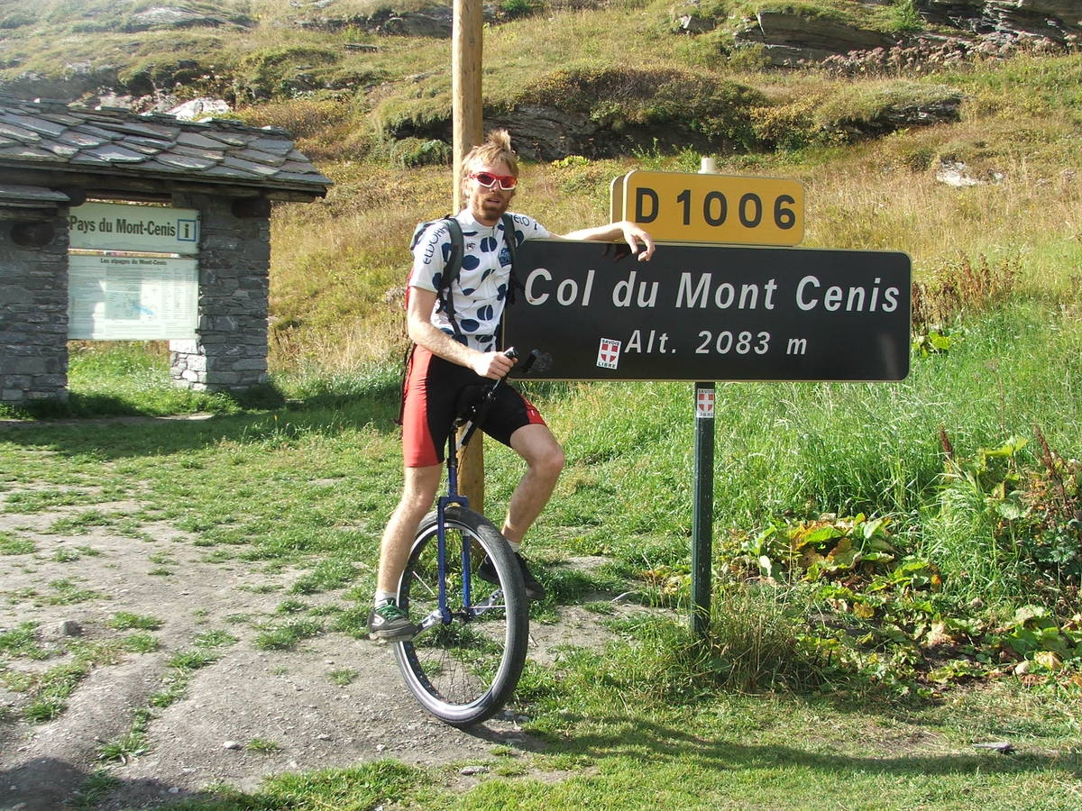
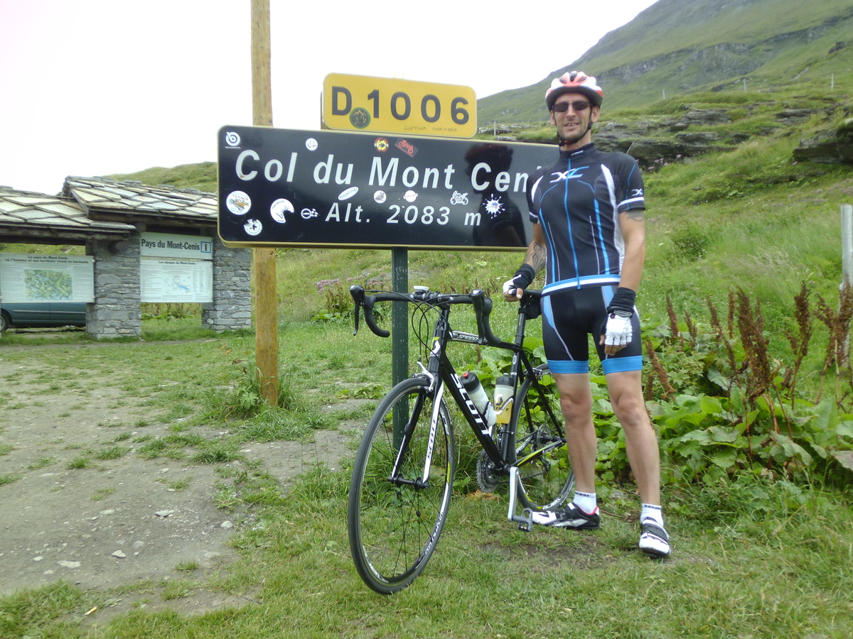
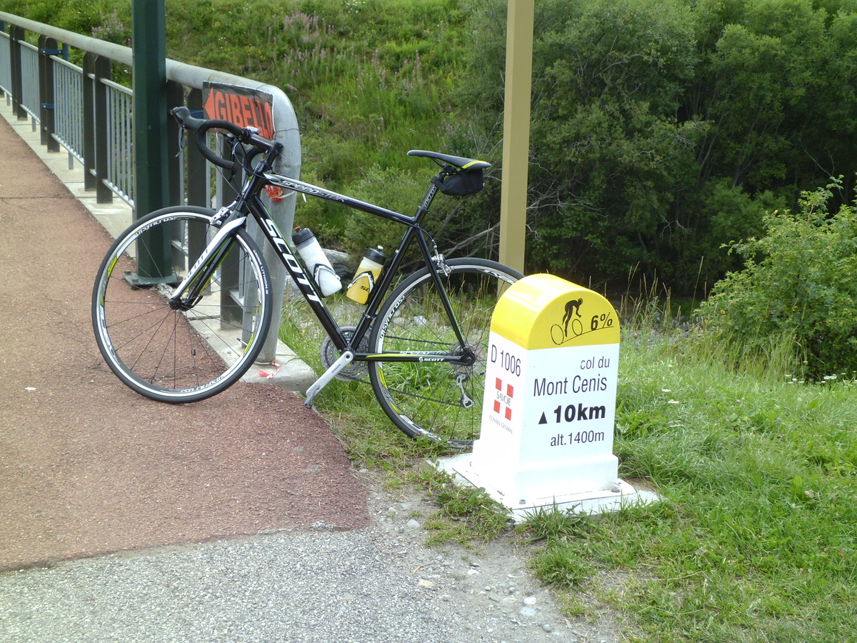
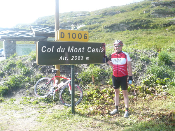
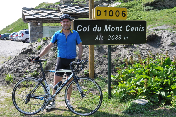
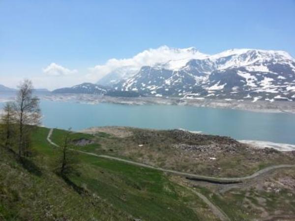
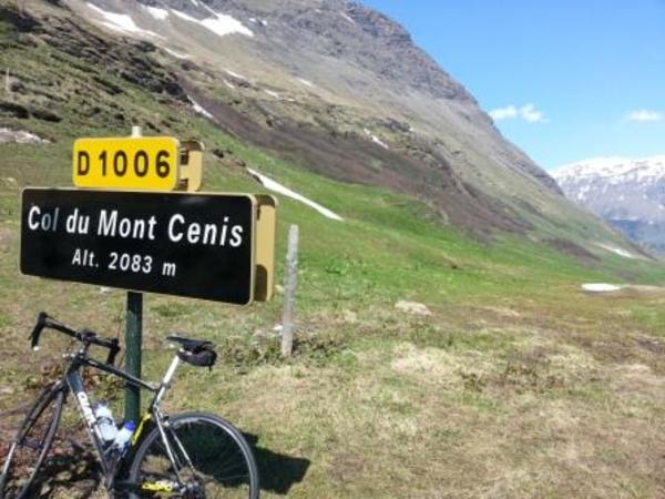
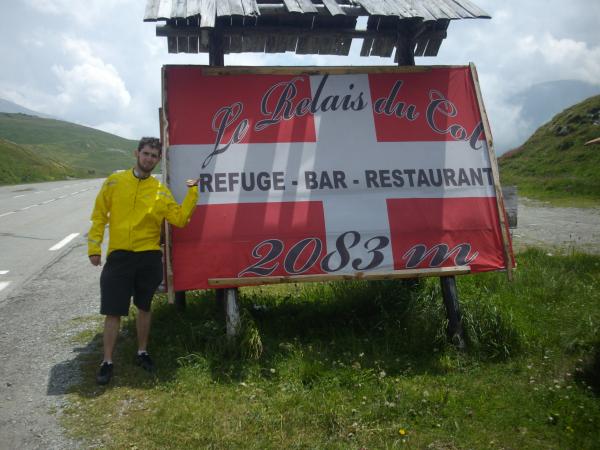
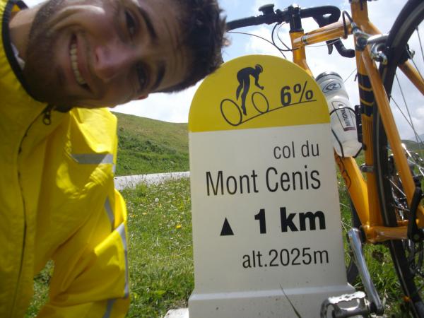
| Name : | Col du Mont Cenis |
| Altitude : | 2081 m |
| Opening : |  Ouvert Ouvert |
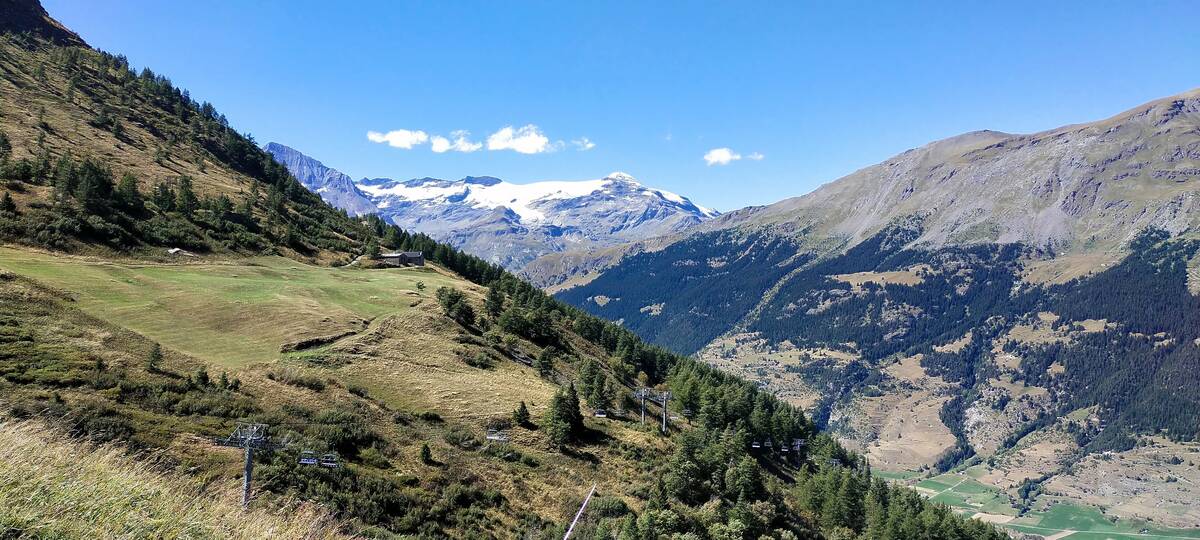
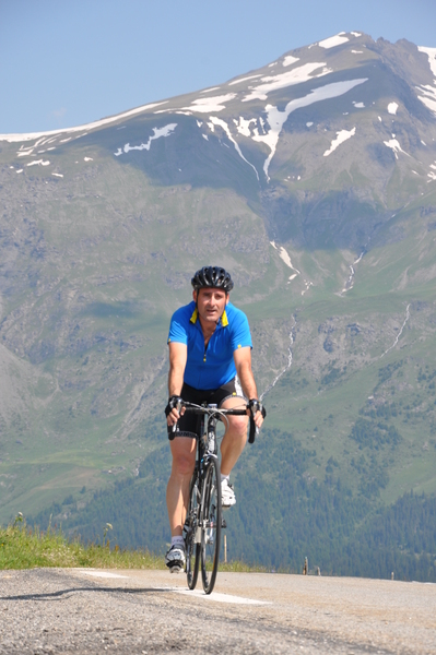
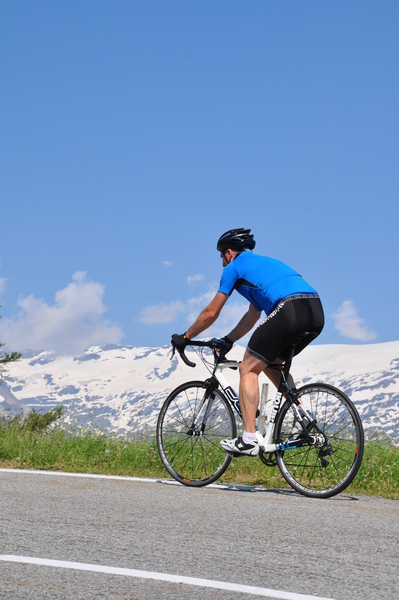
| Start : | Lanslebourg |
| Length : | 9.80 km |
| Elevation gain : | 682 m |
| % Avg : | 6.96% |
| % Max : | 10.6% |
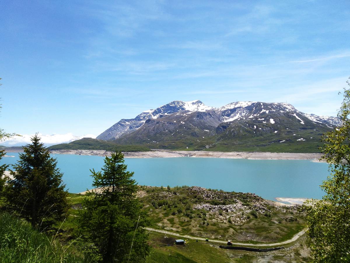
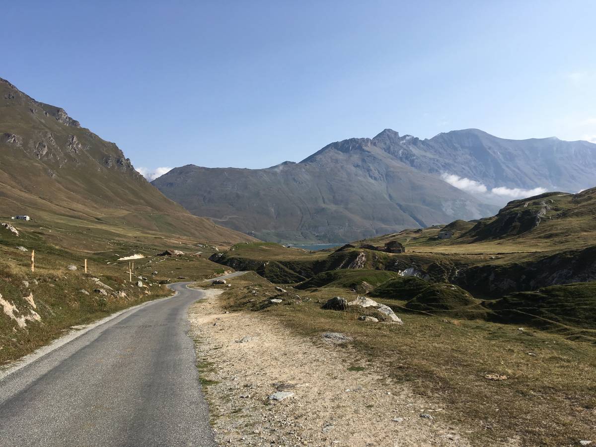
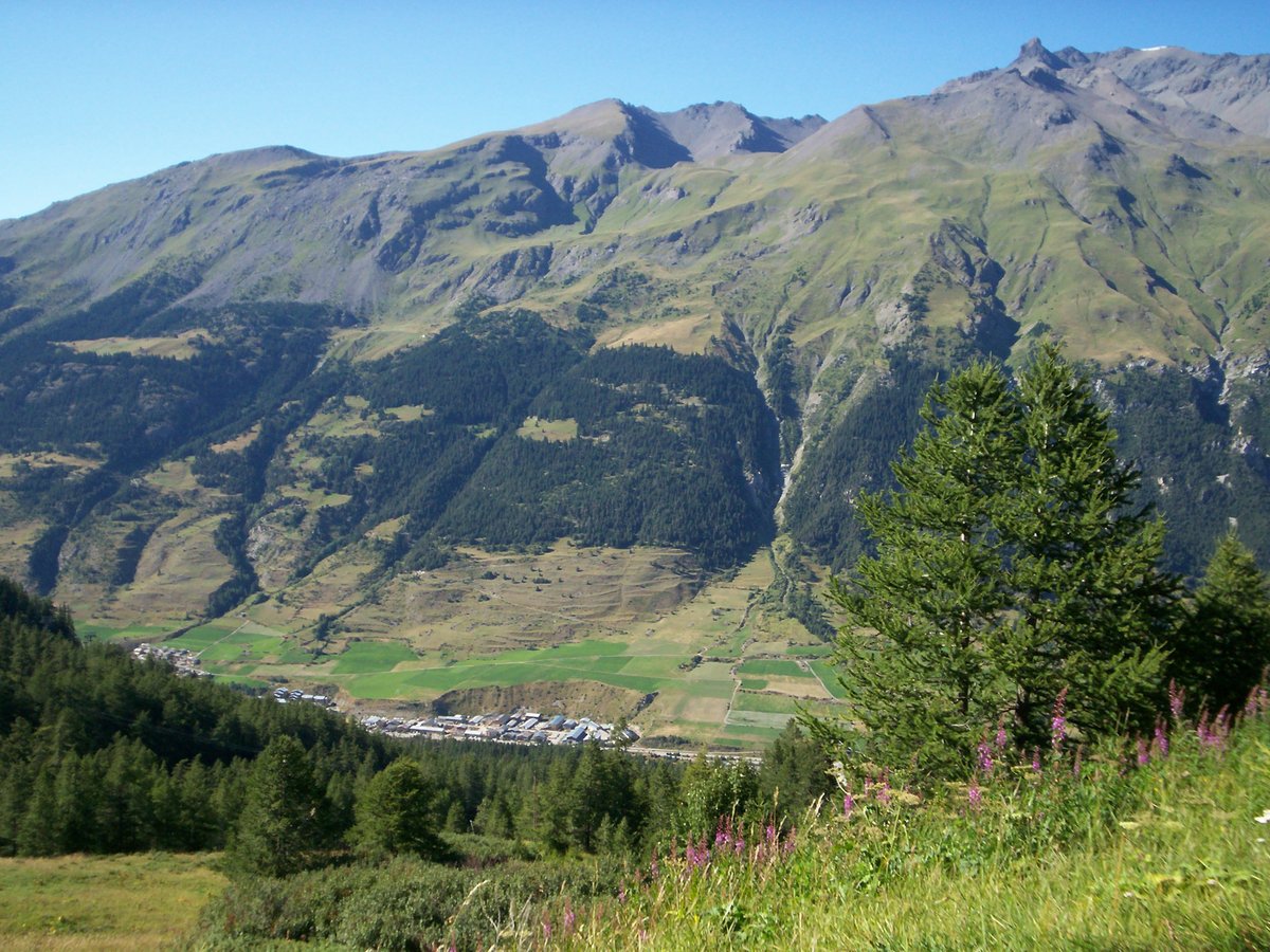
| Mountain range : | Mont Cenis, France |
There's other climb of this summit
Map
Profile

 This climb is reserved for cyclists on 07/07/2021 : This climb is reserved for cyclists on 16/07/2019 :