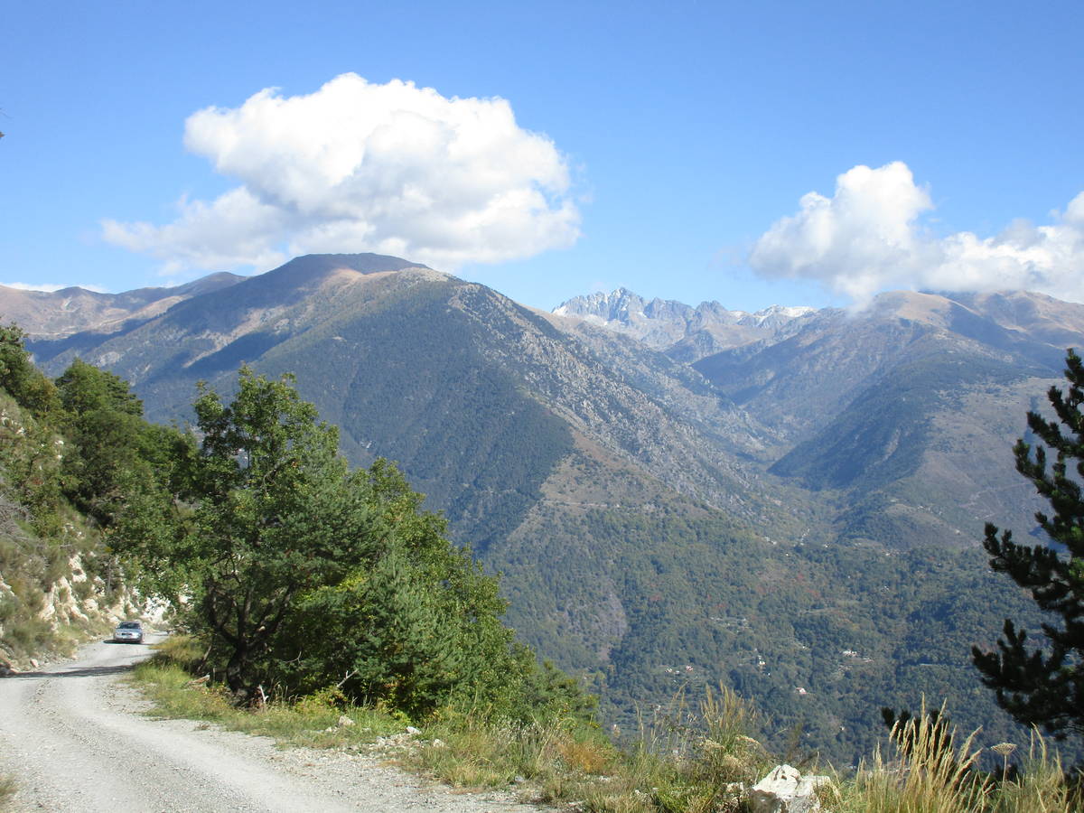
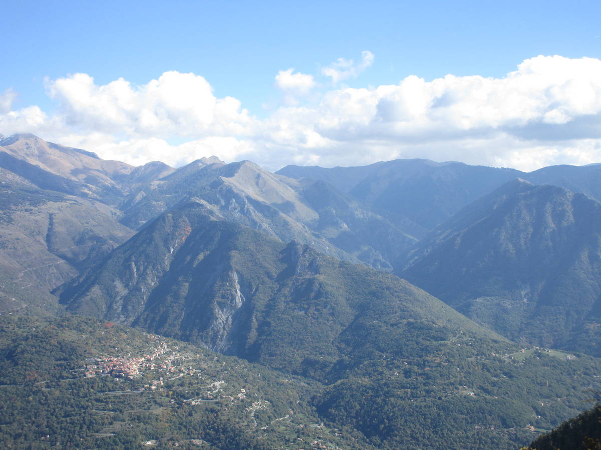
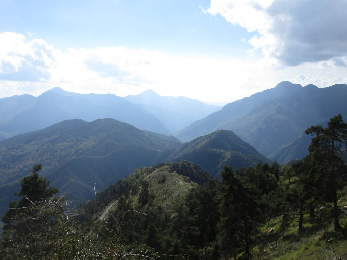
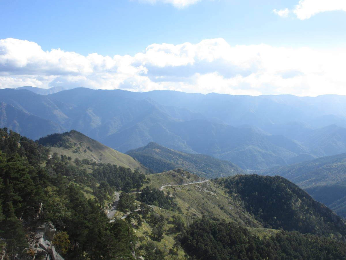
Information
| Name : | Col d'Andrion |
| Altitude : | 1681 m |
| Start : | Roquebillière |
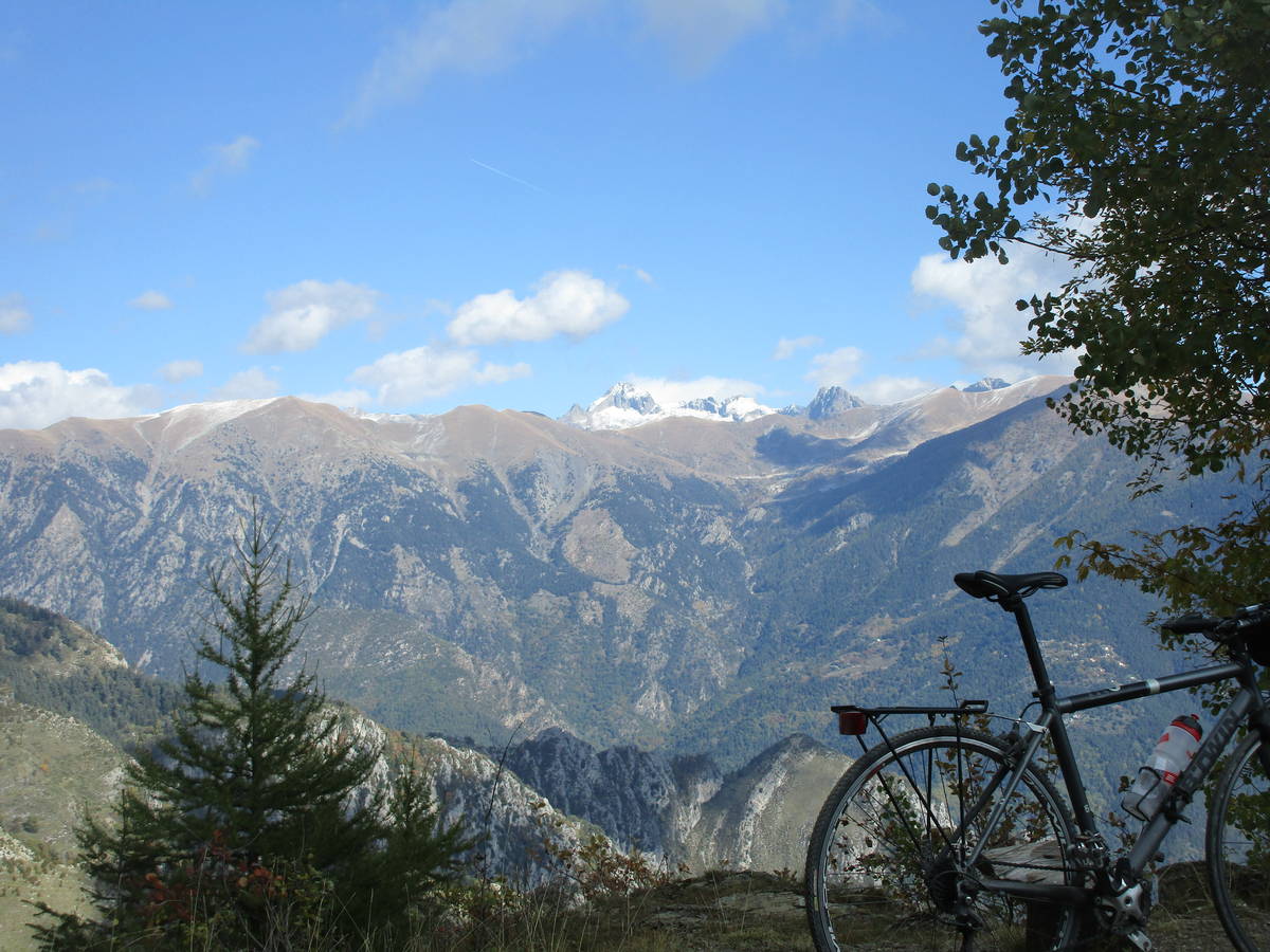
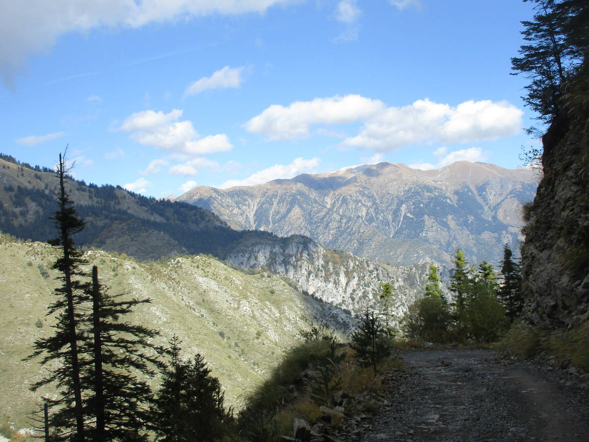
| MTB : | WARNING: this climb requires a MTB |
| Length : | 16.57 km |
| Elevation gain : | 1074 m |
| % Avg : | 6.48% |
| % Max : | 10.0% |
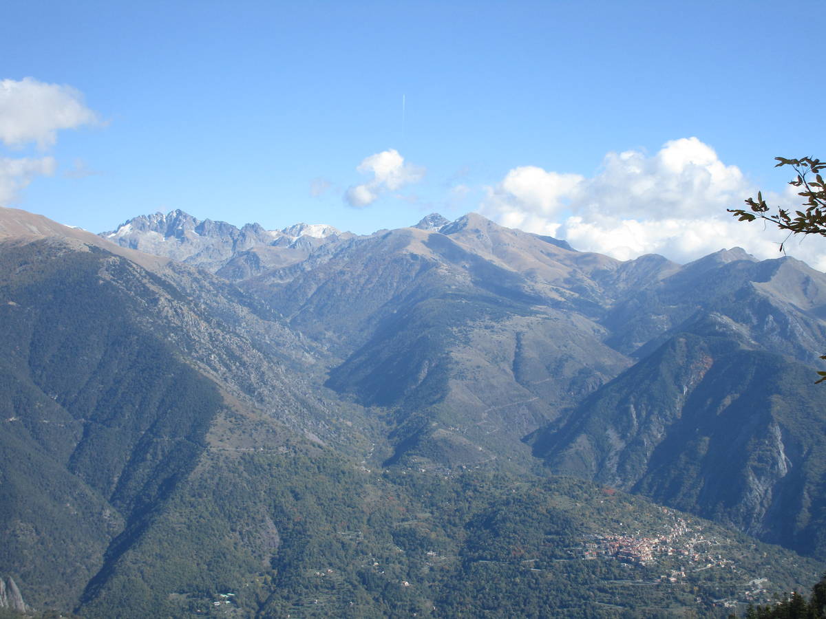
| Mountain range : | Mercantour, France |
There's other climb of this summit
Map
 Ascents reserved for cyclists