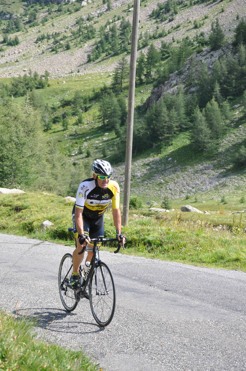
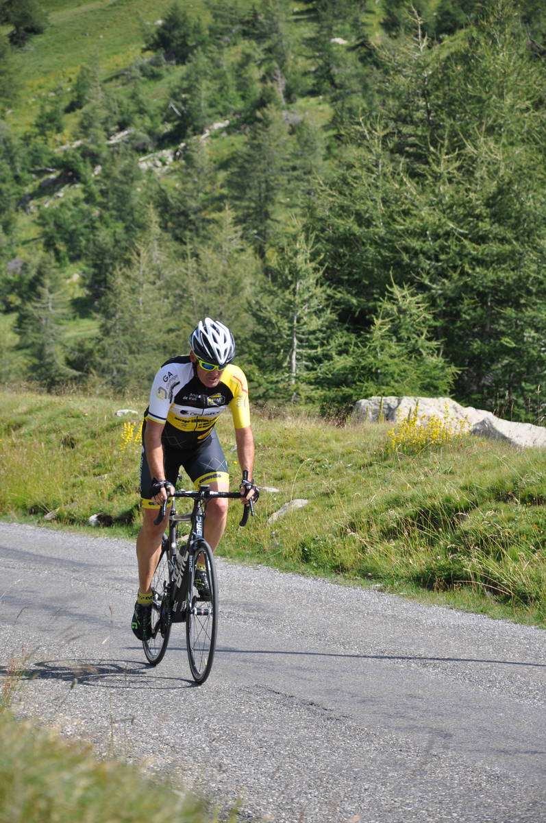
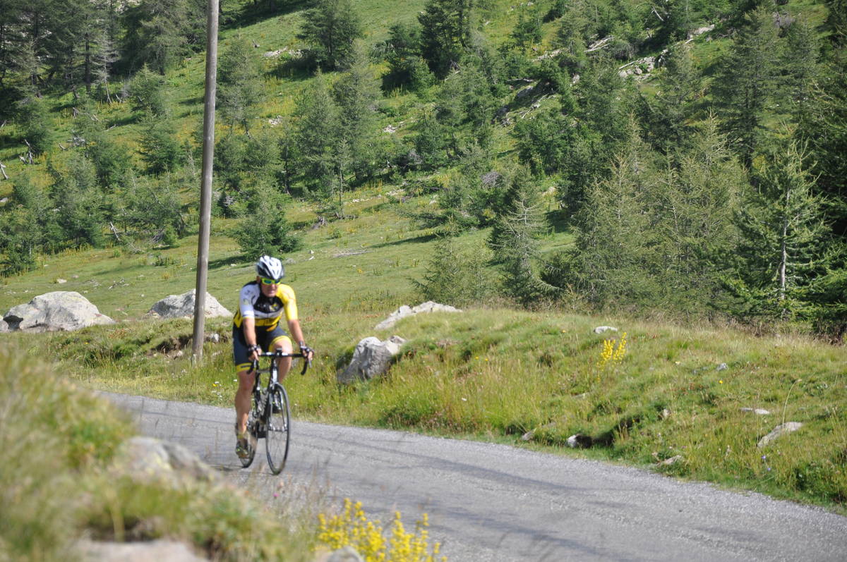
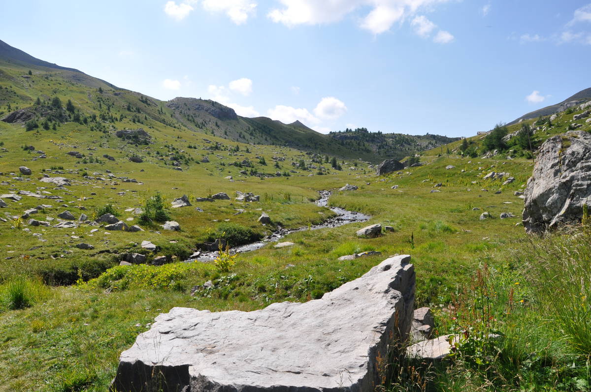
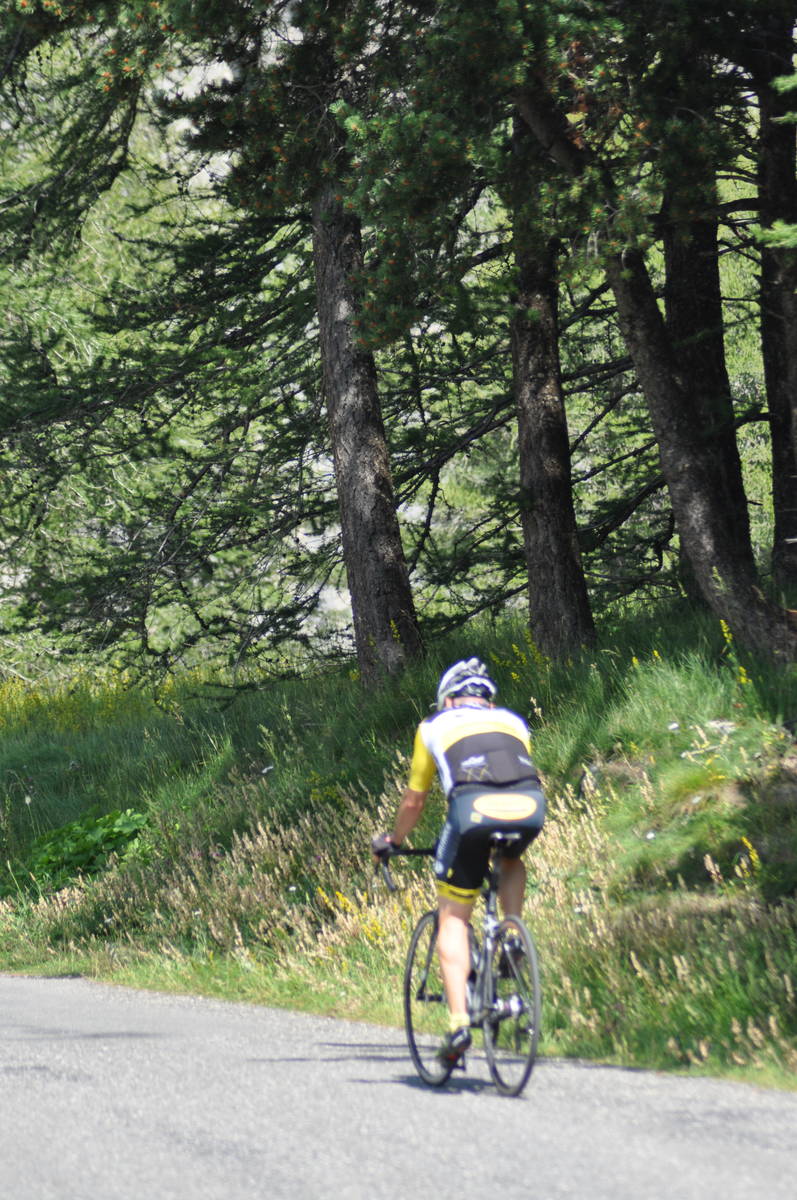
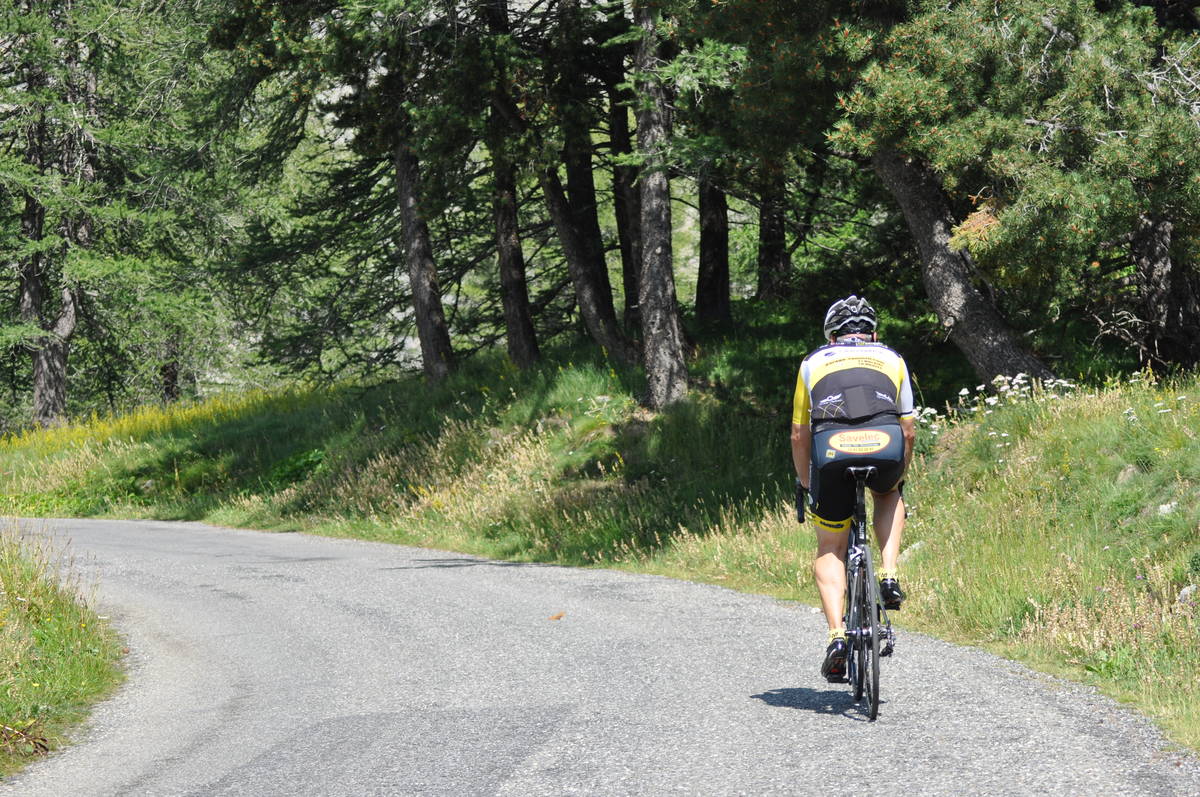
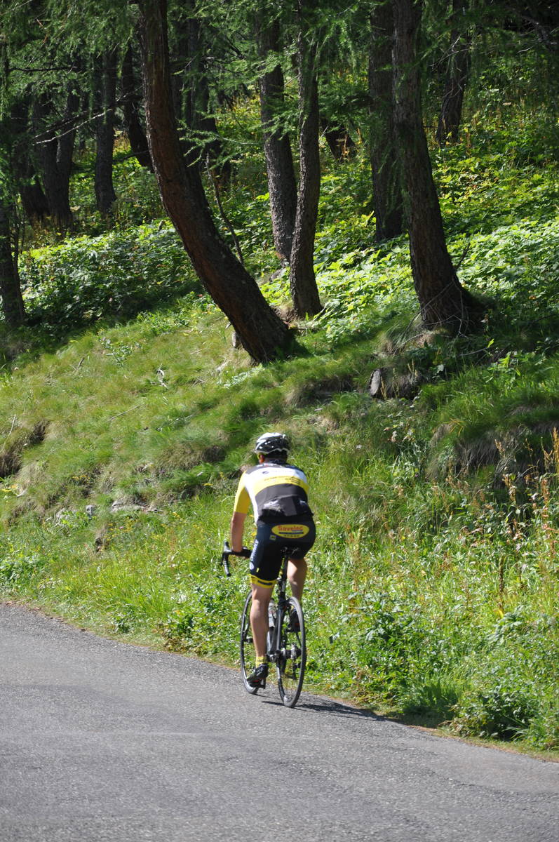
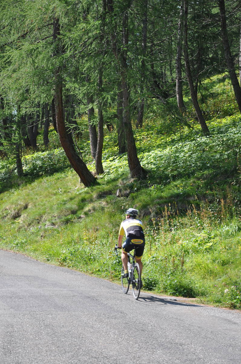
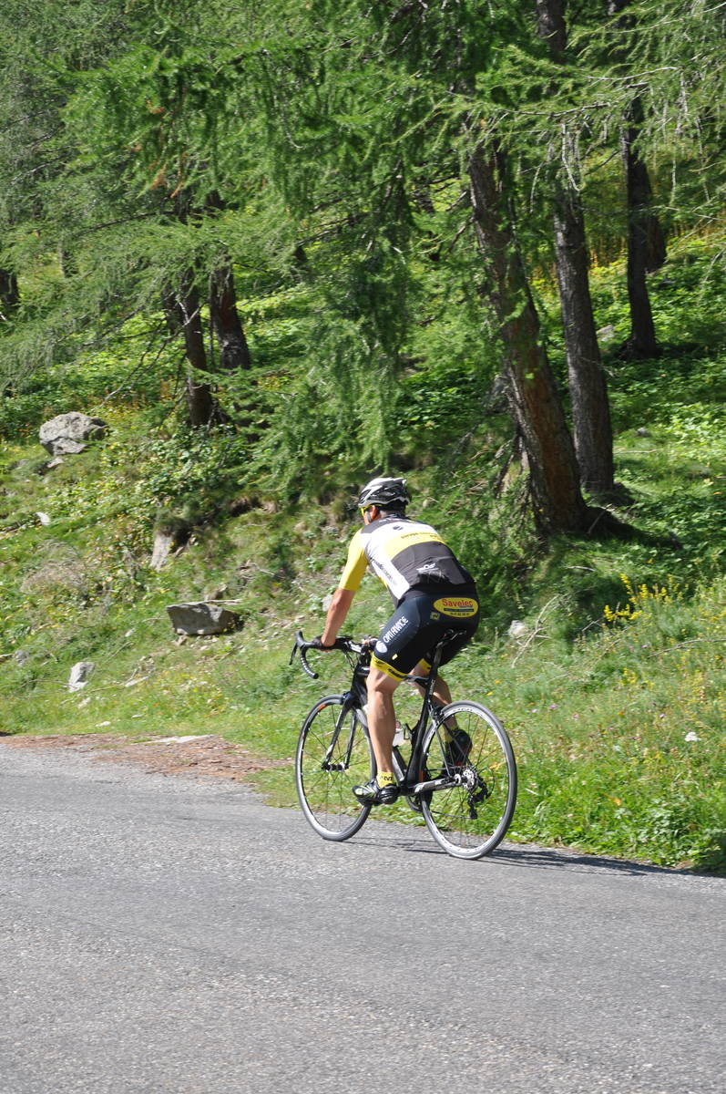
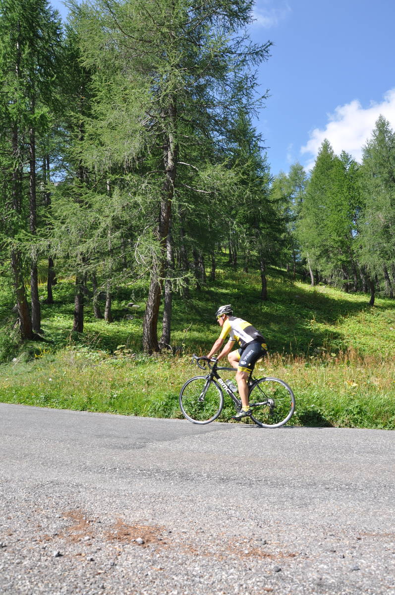
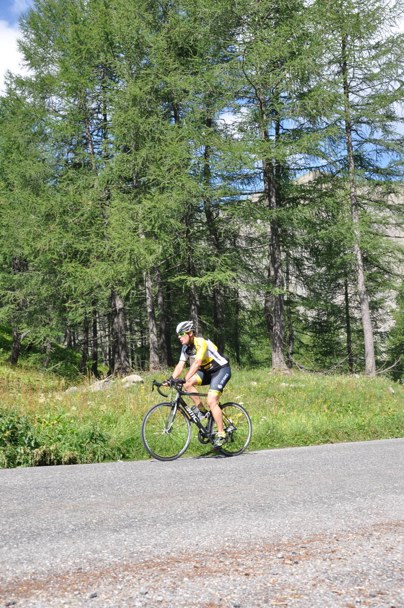
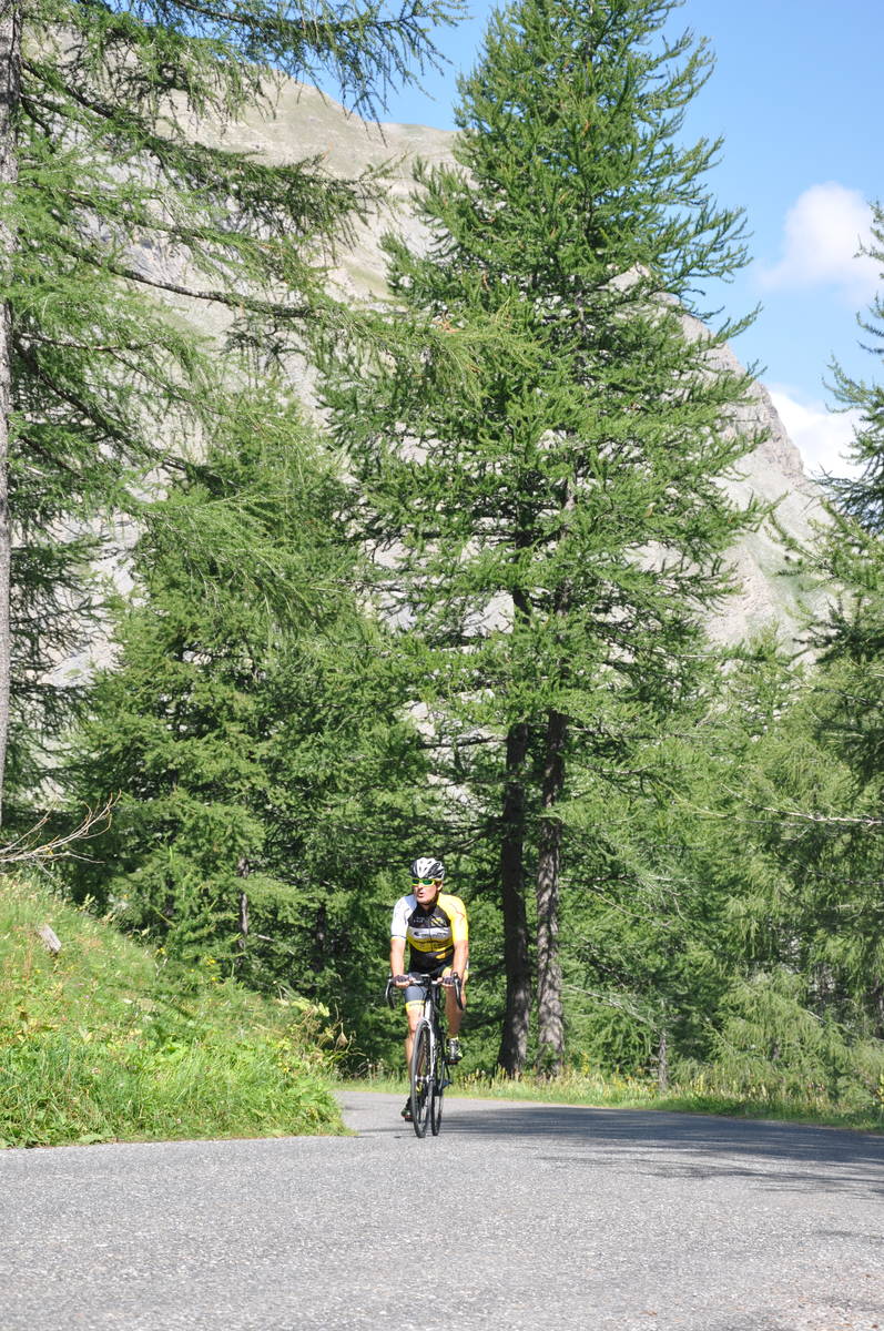
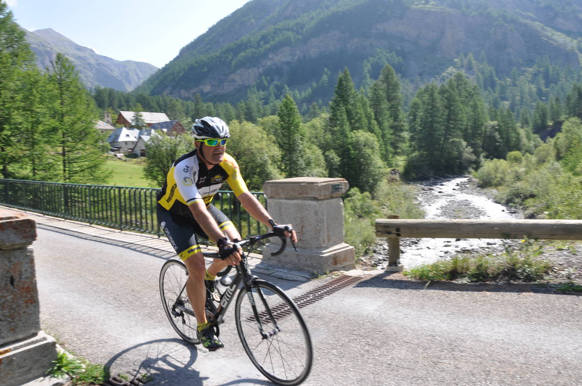
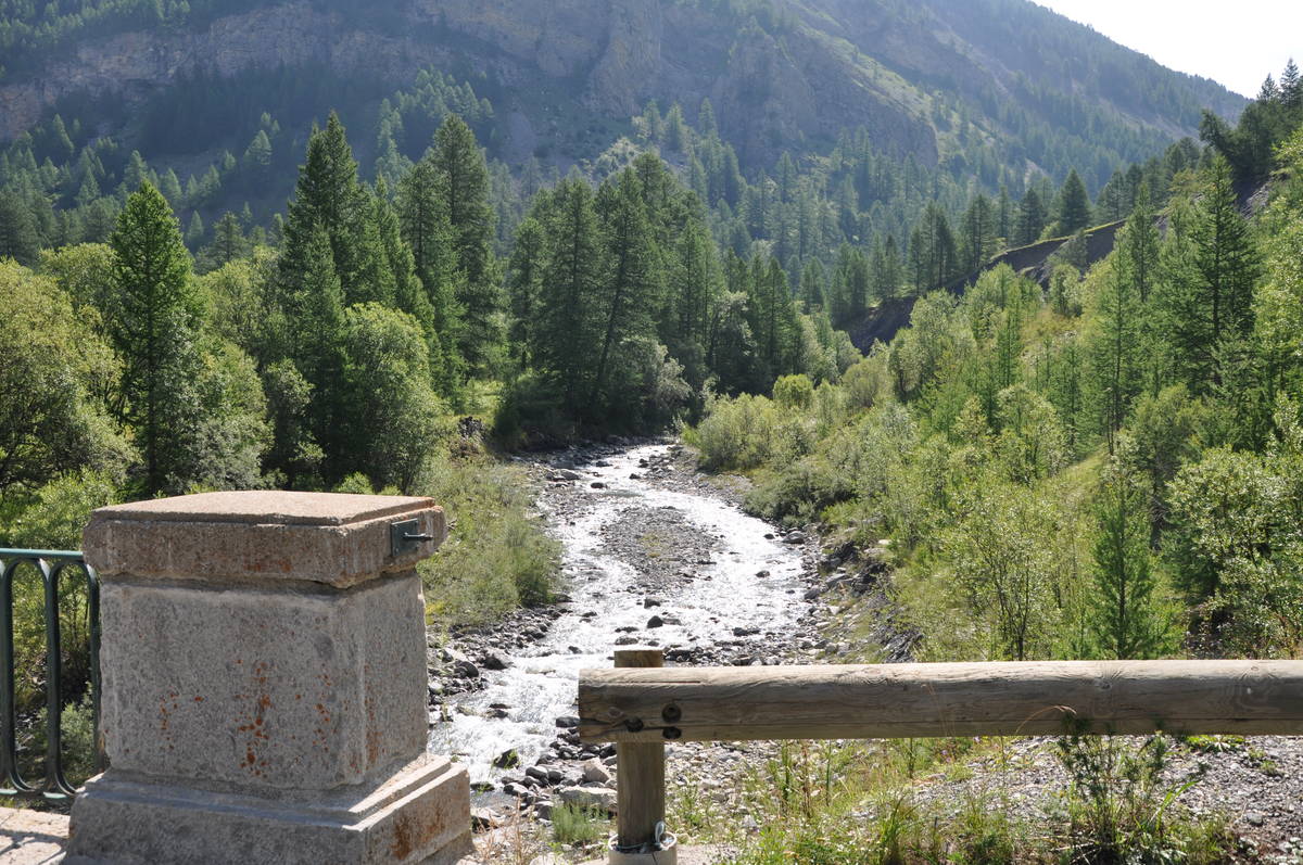
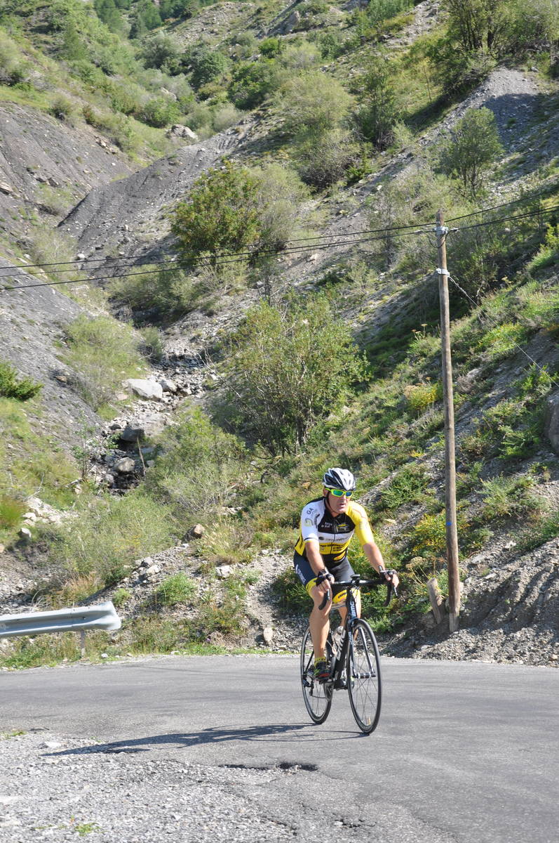
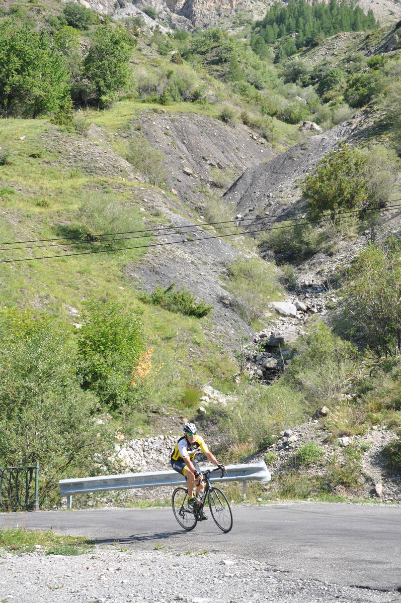
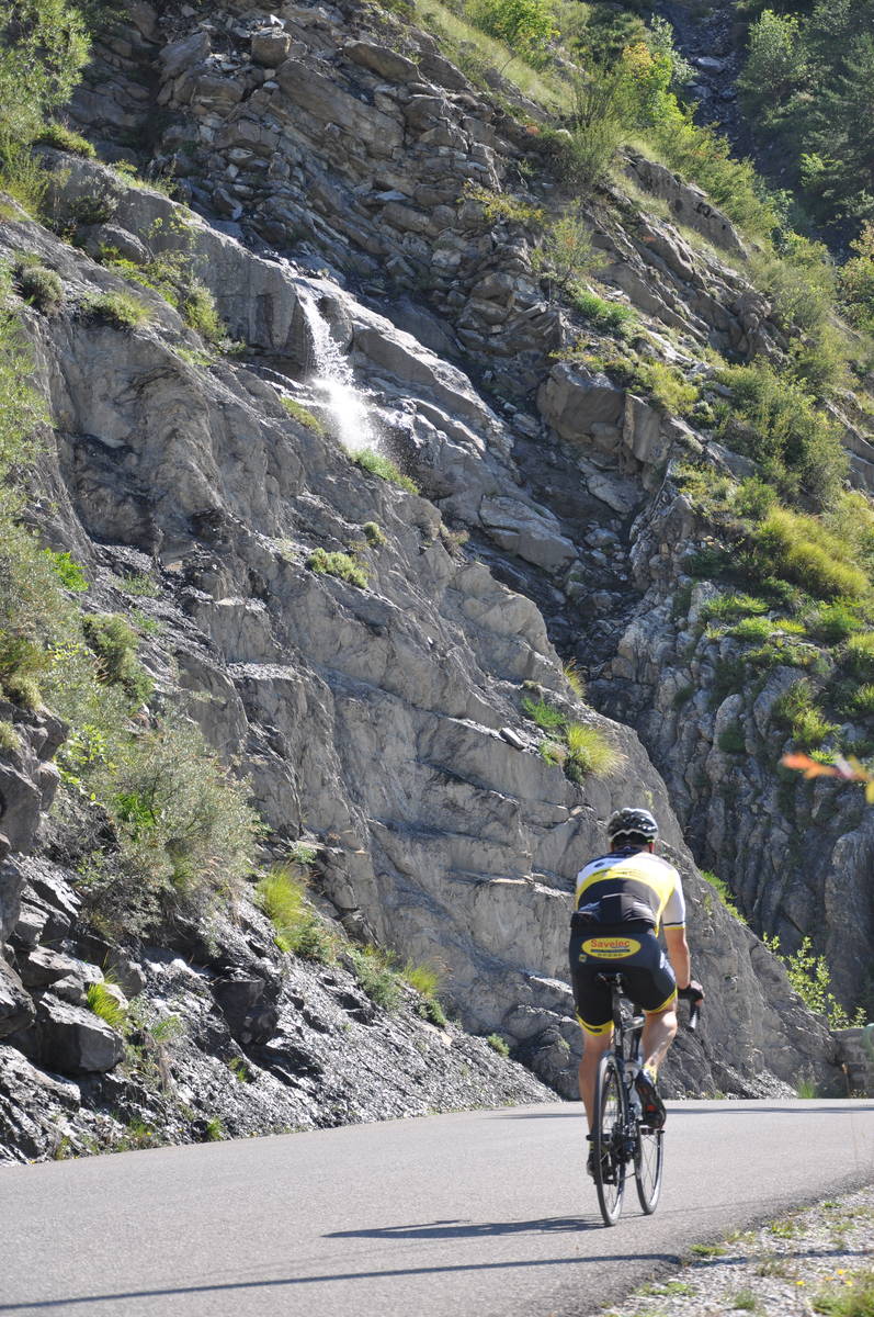
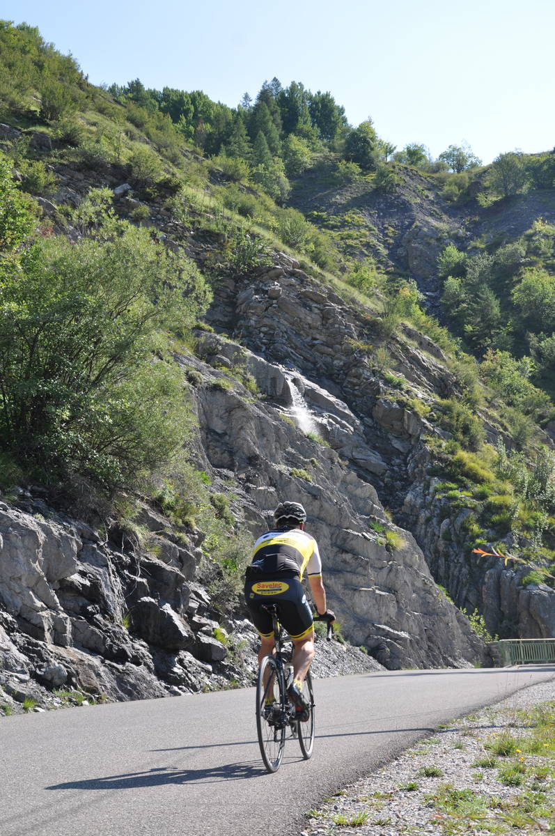
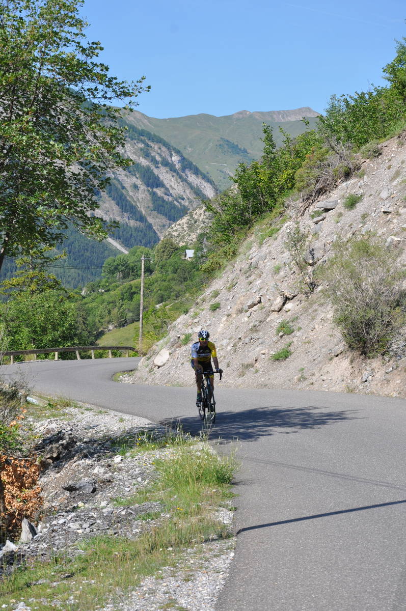
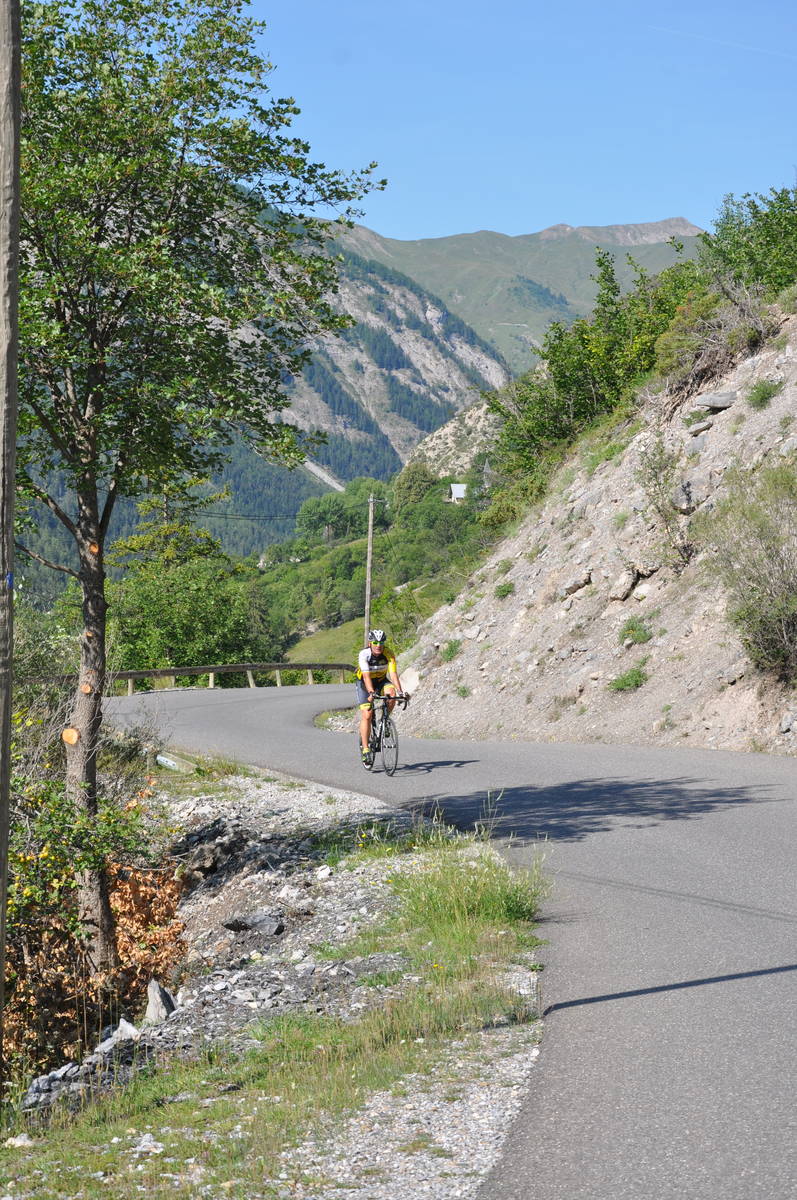
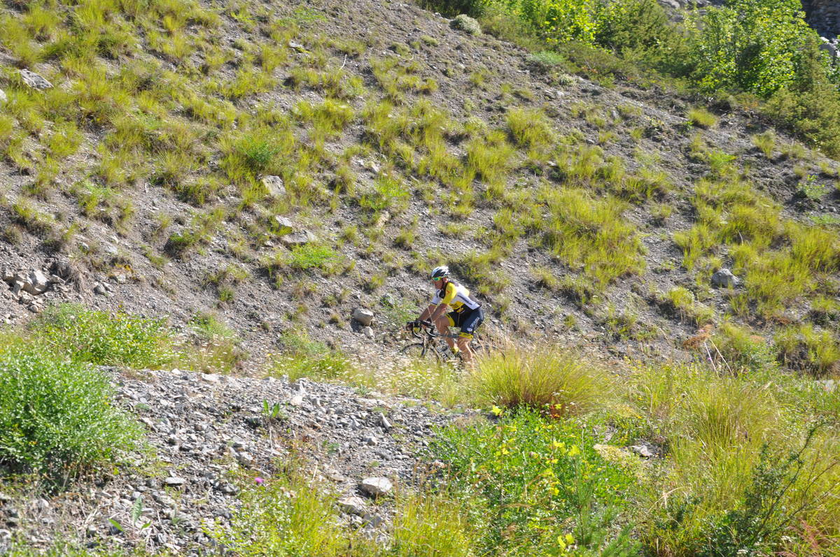
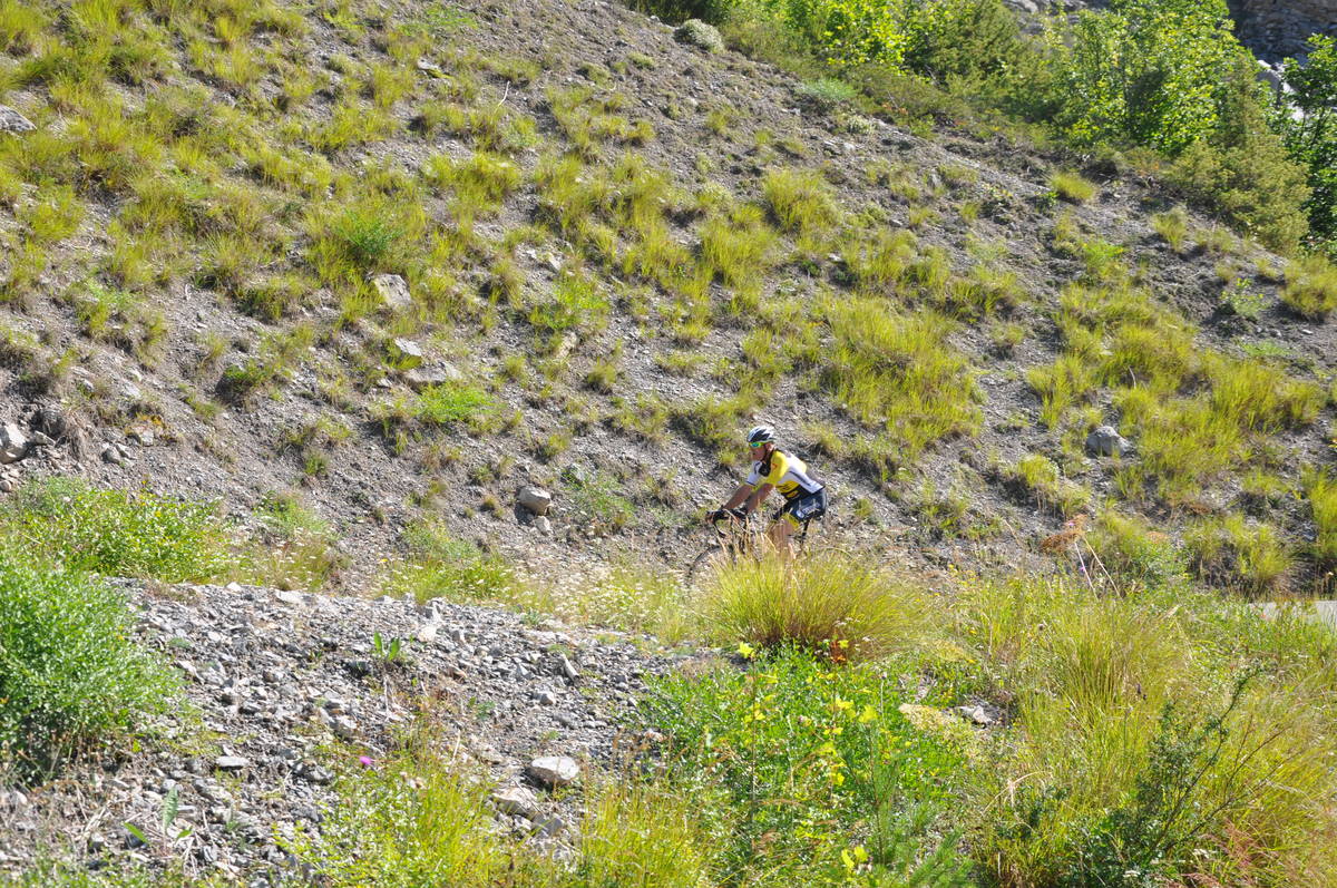
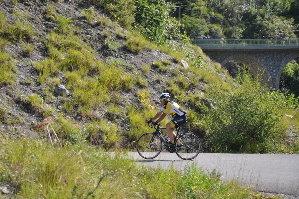
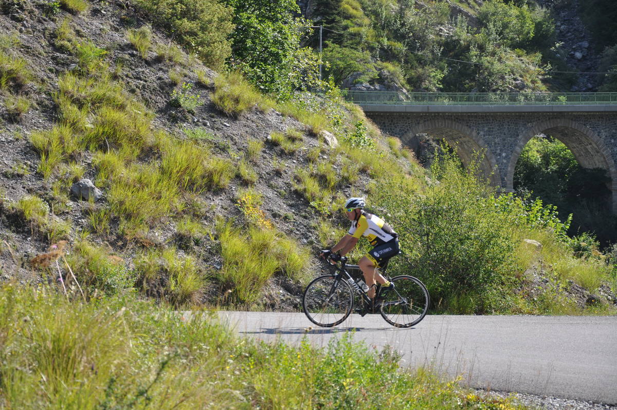
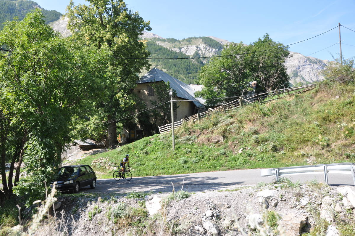
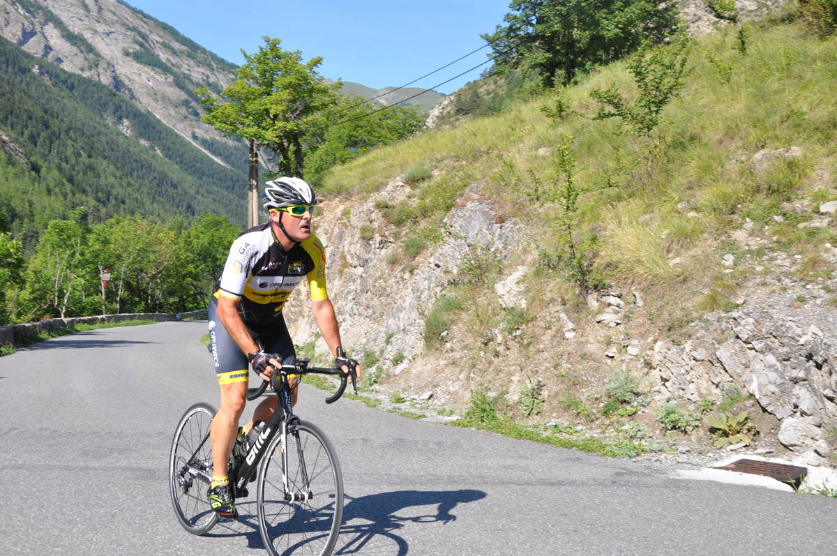
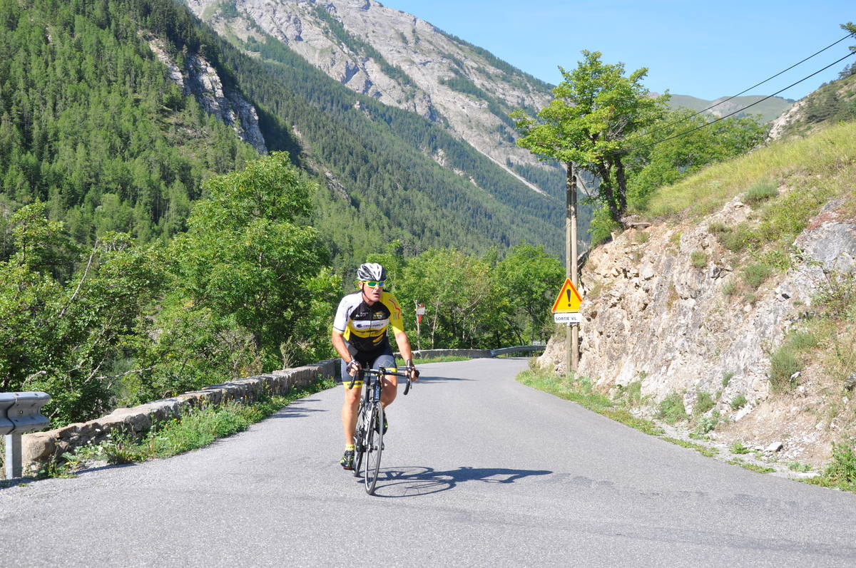
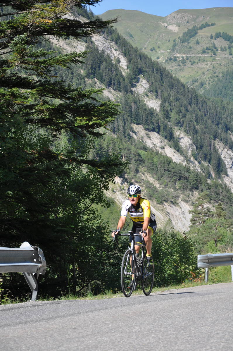
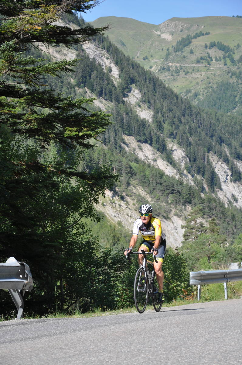
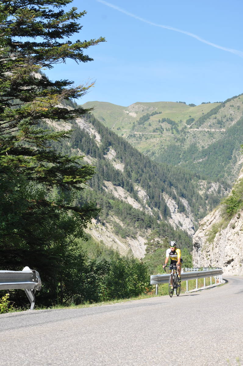
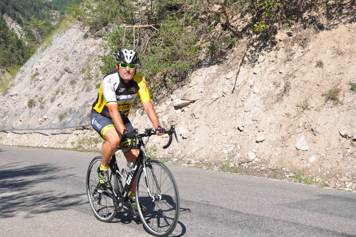
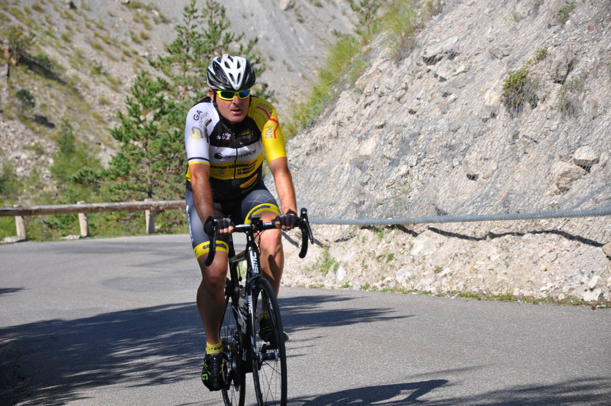
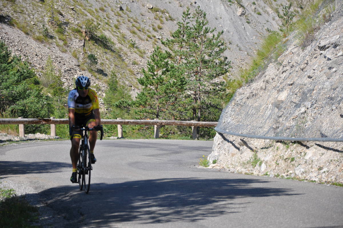
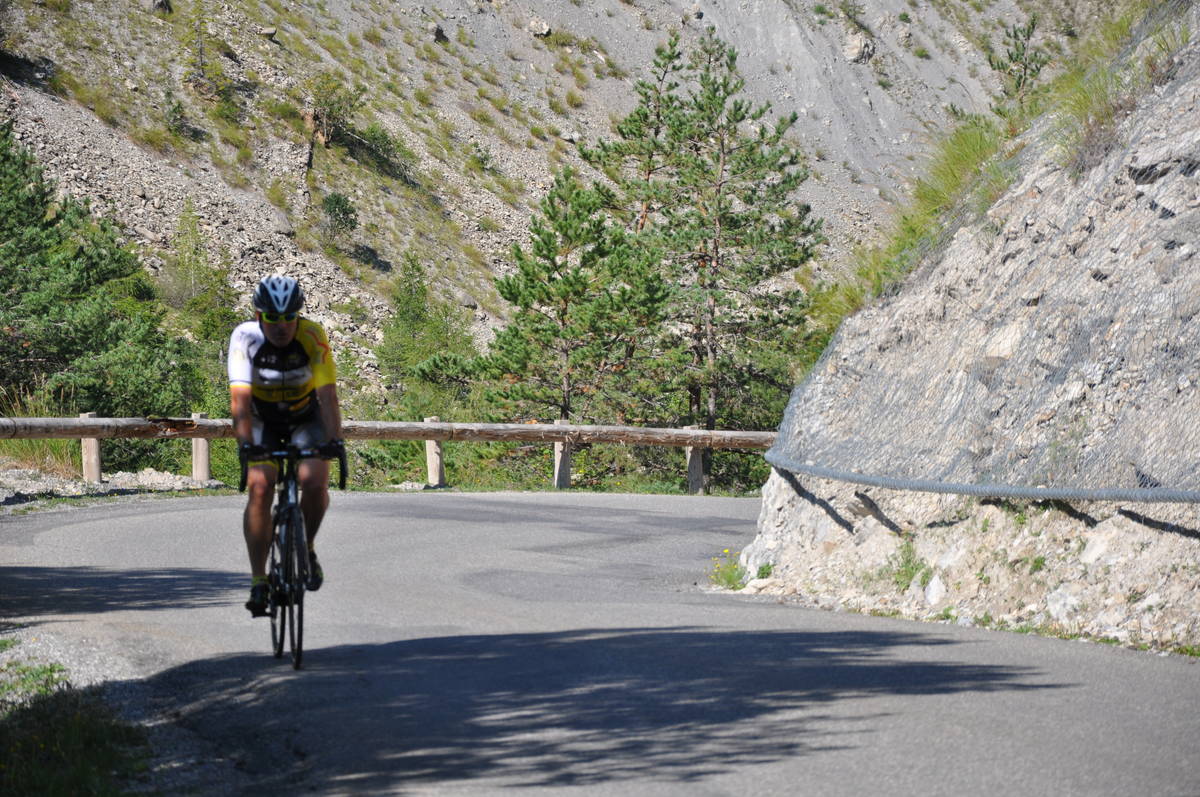
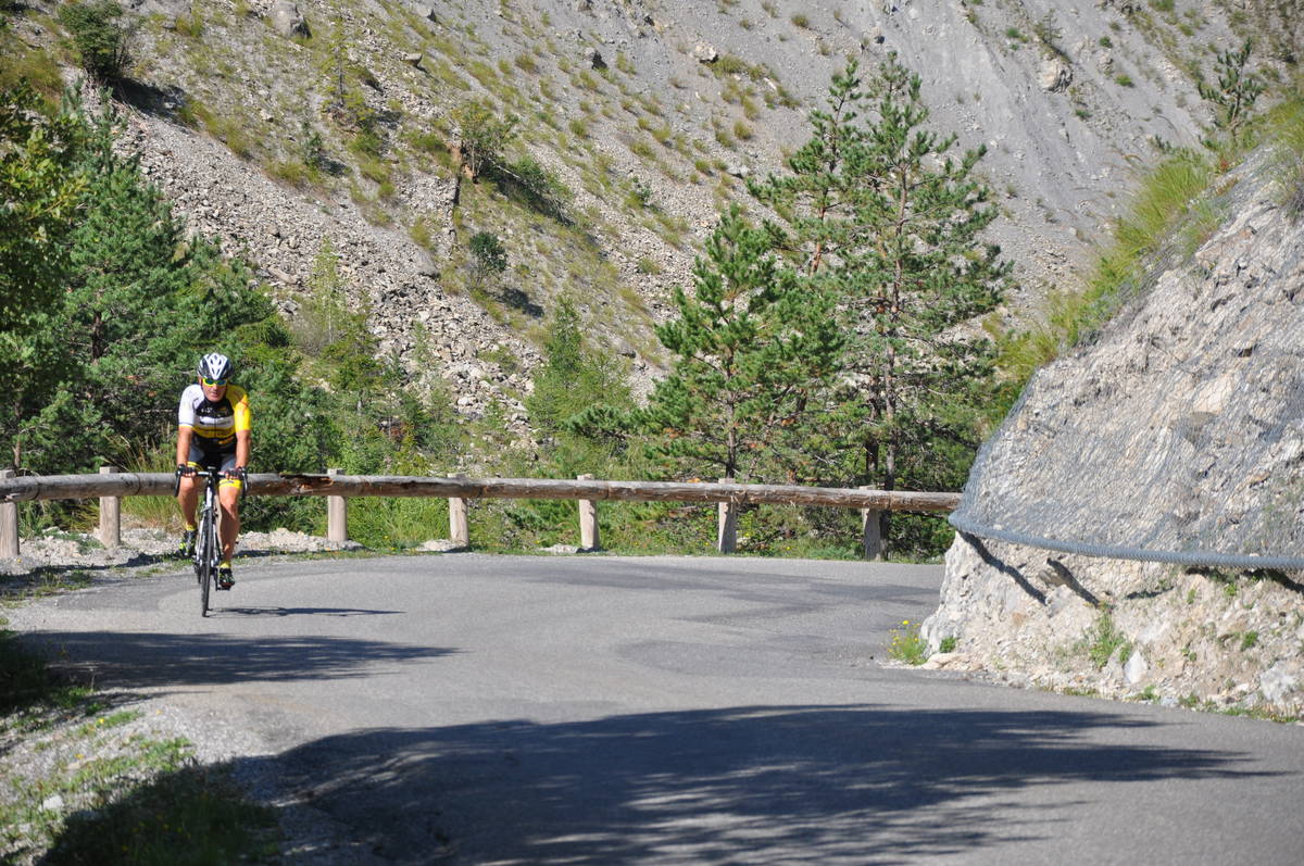
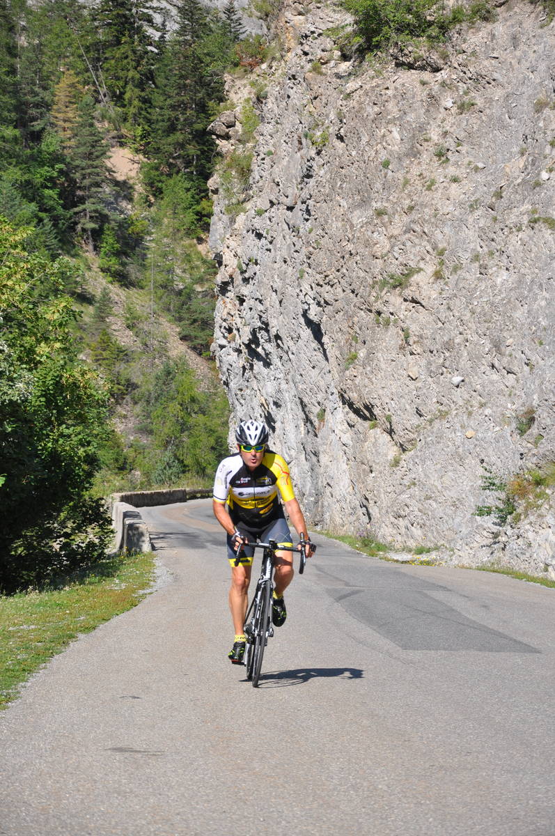
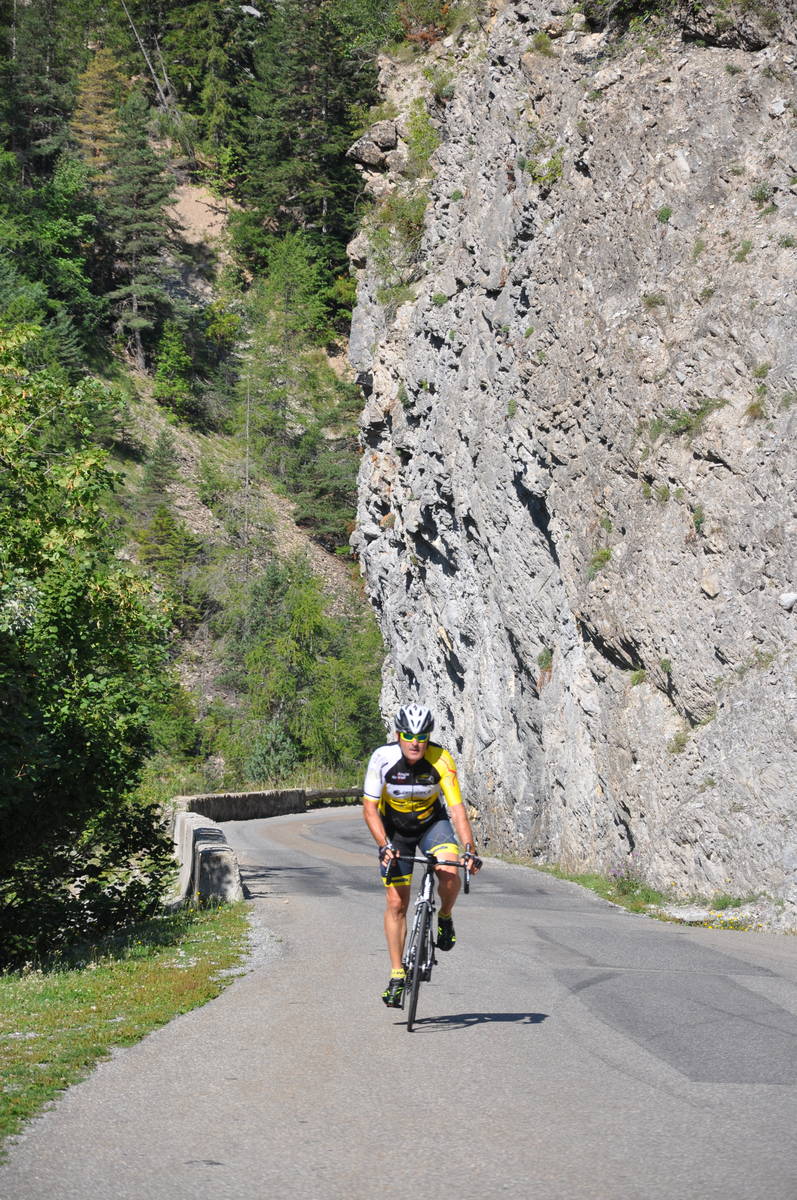
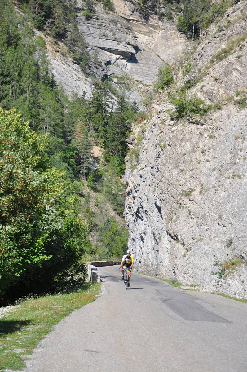
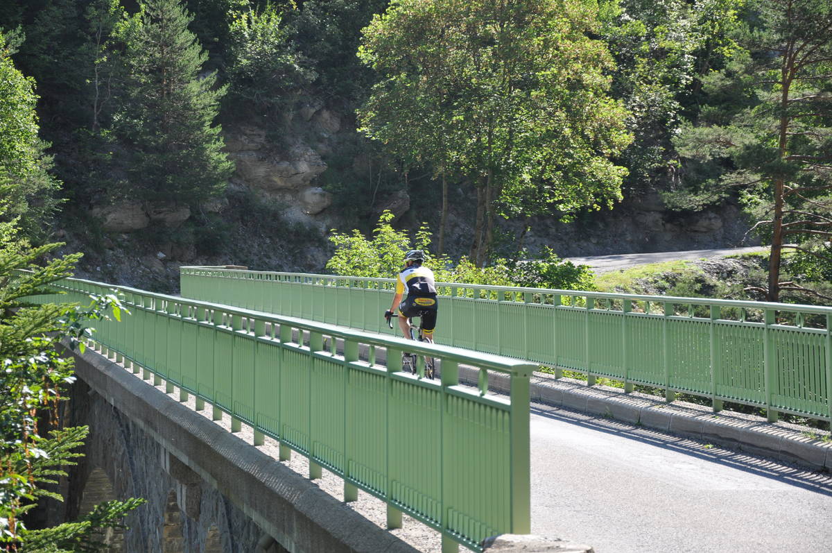
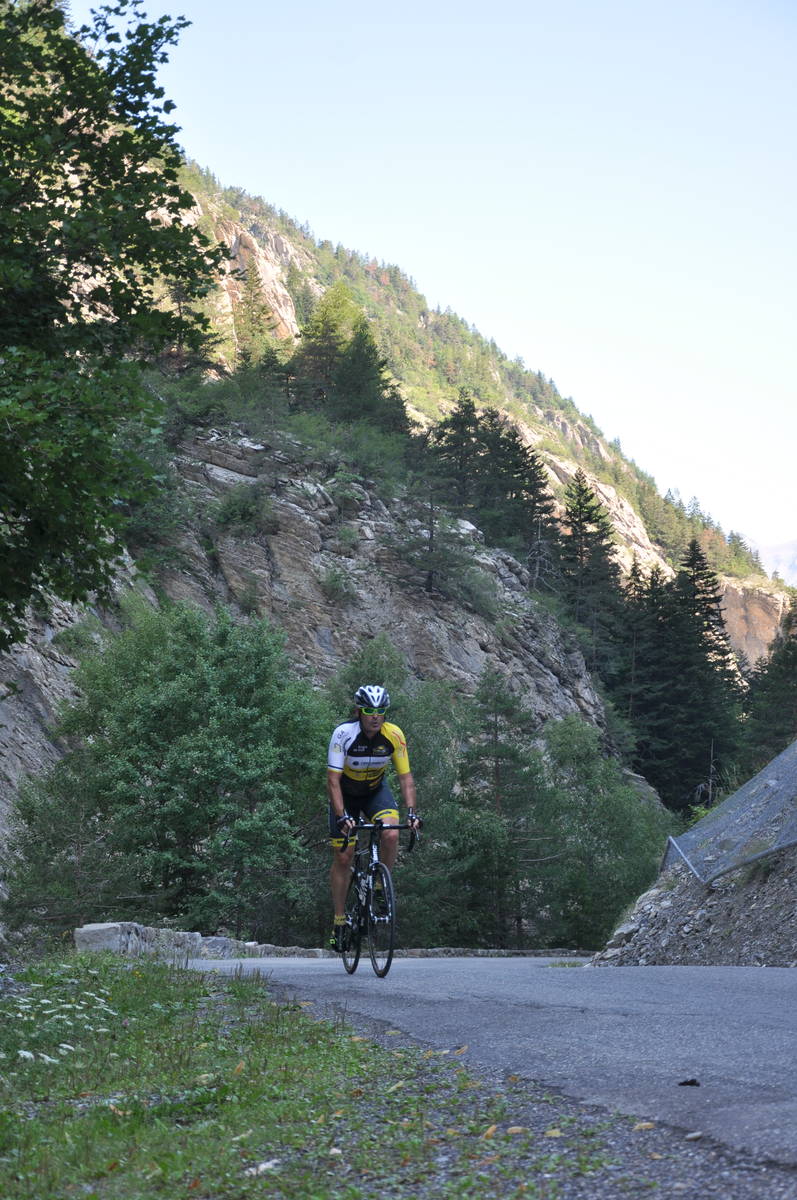
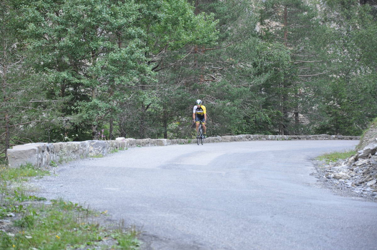
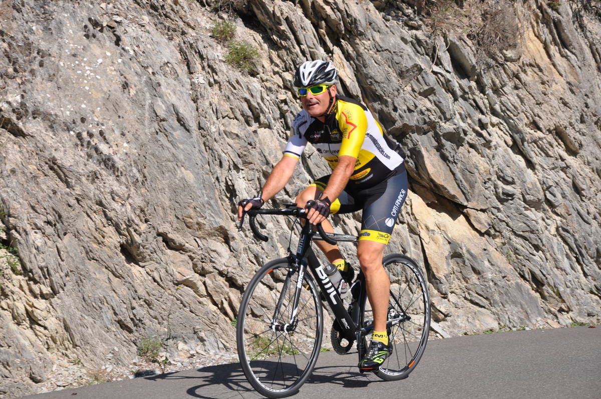
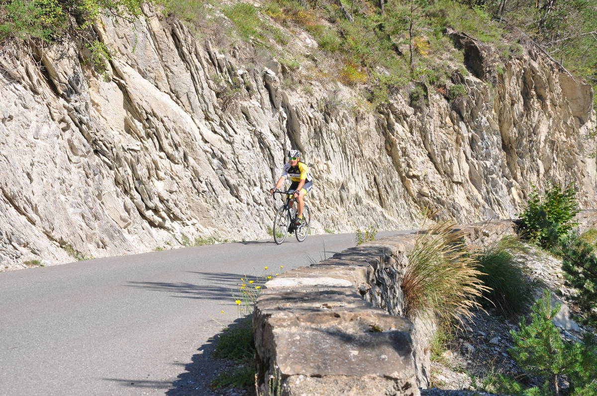
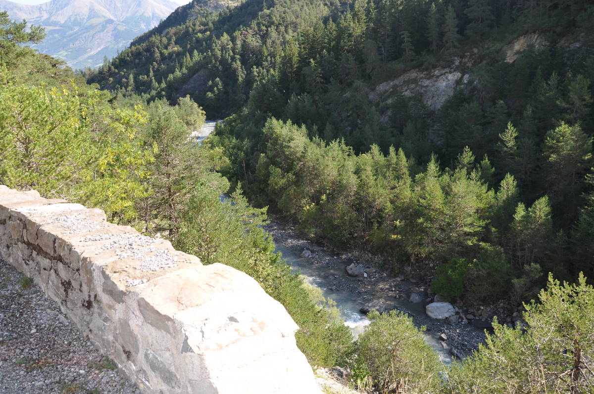
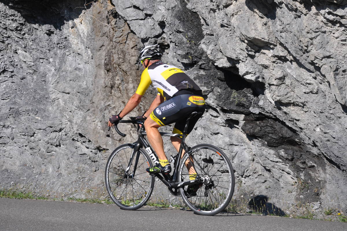
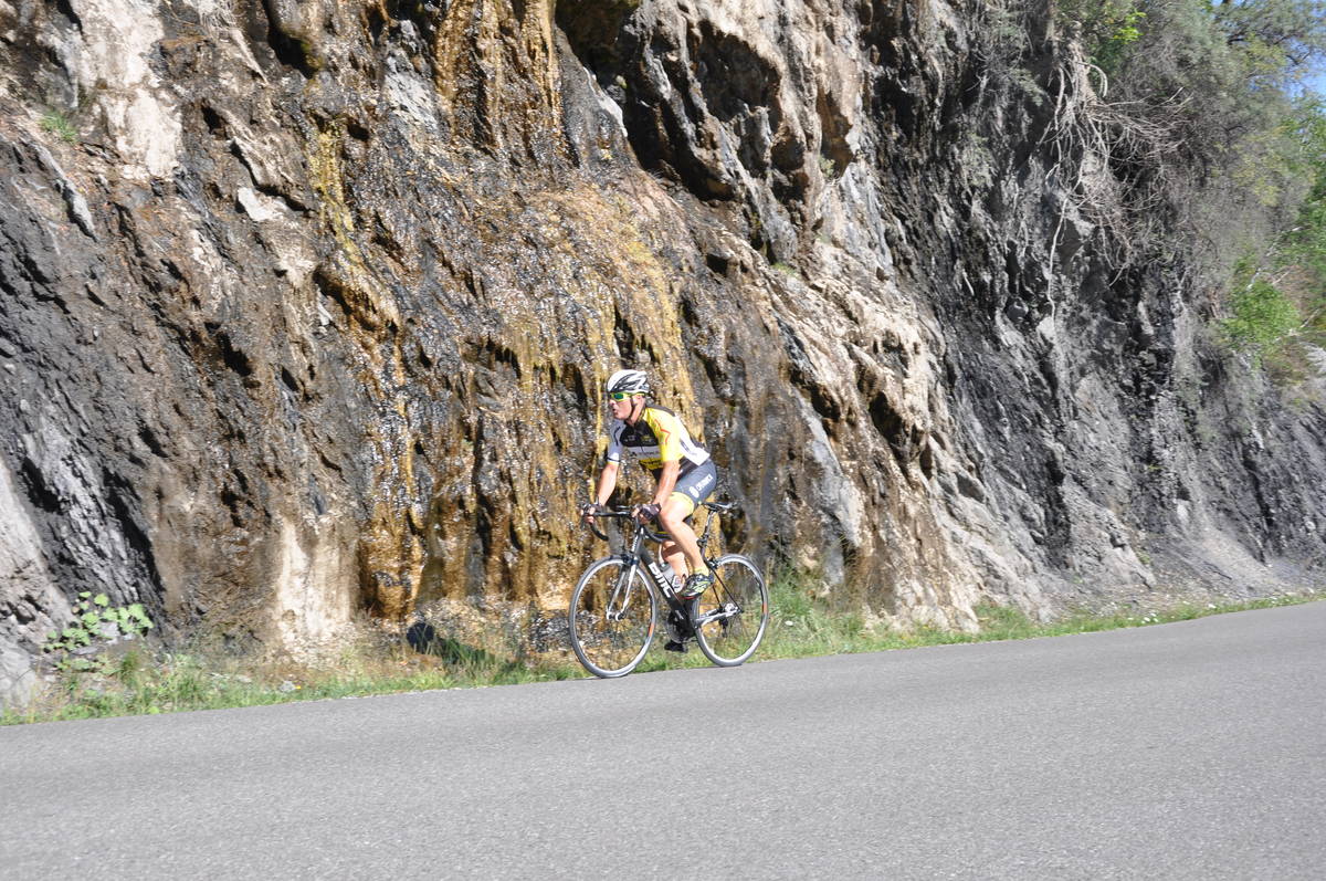
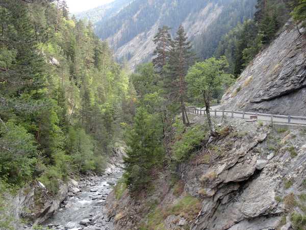
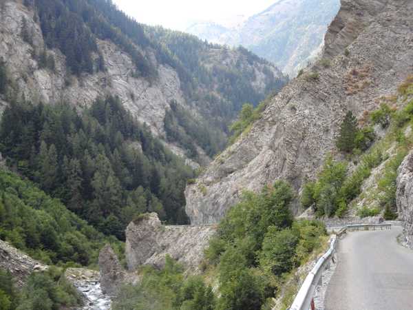
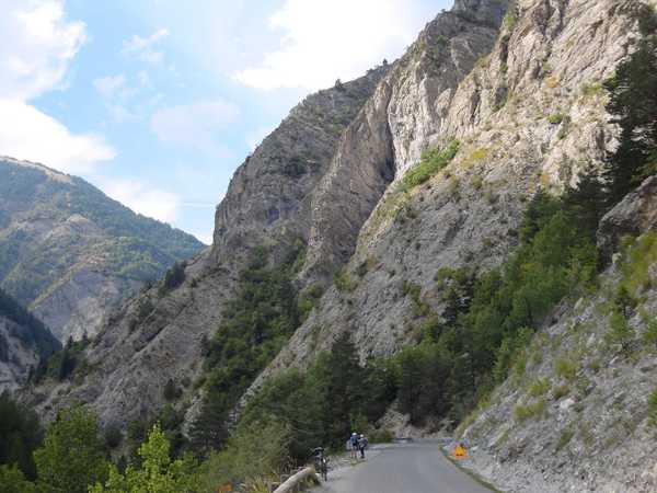
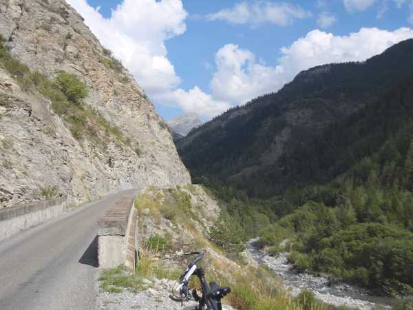
Information
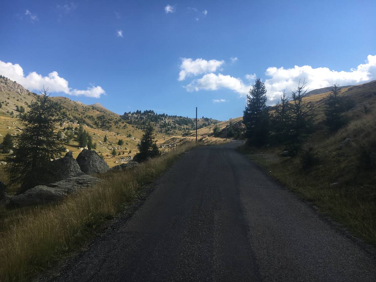
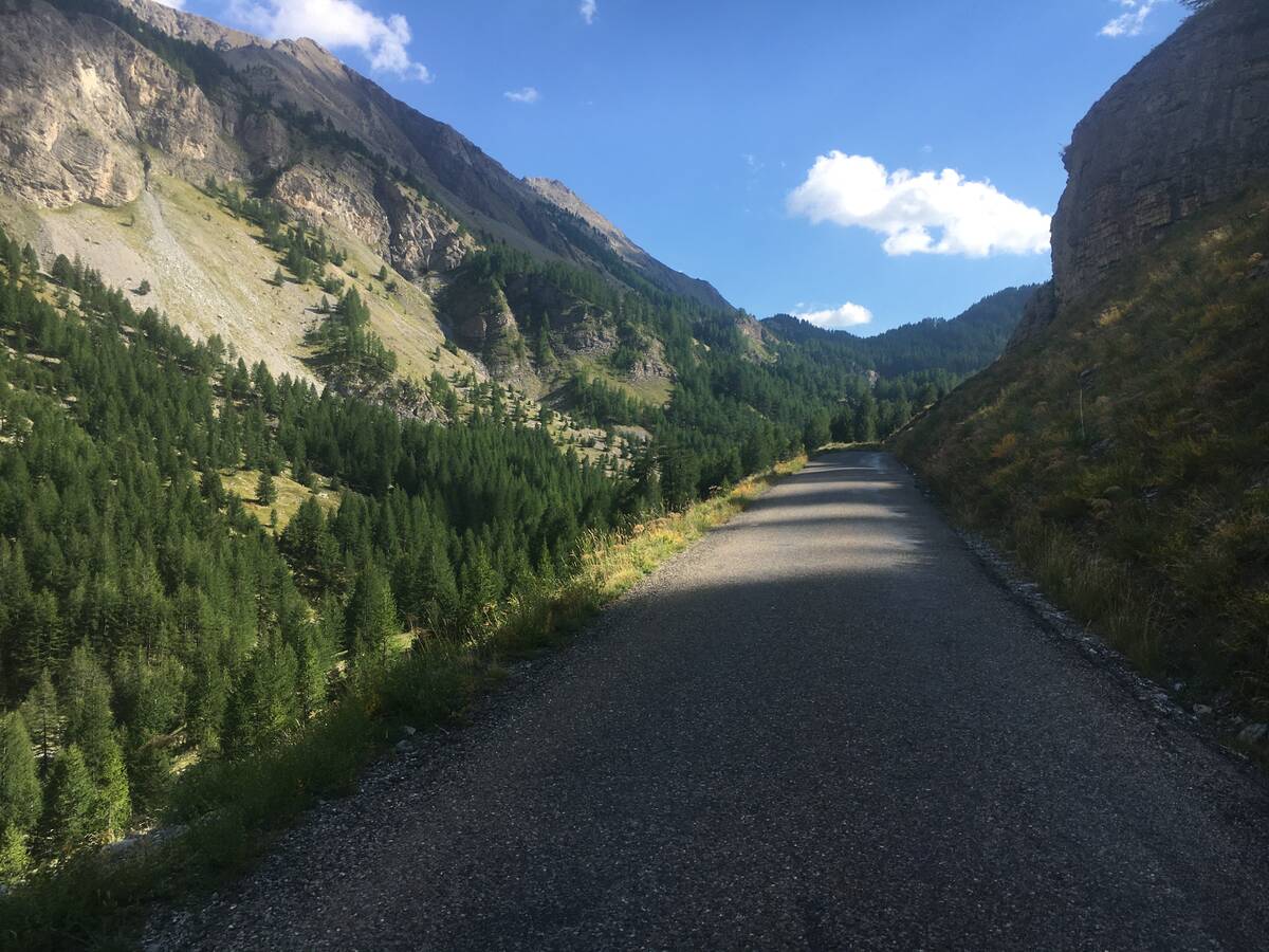
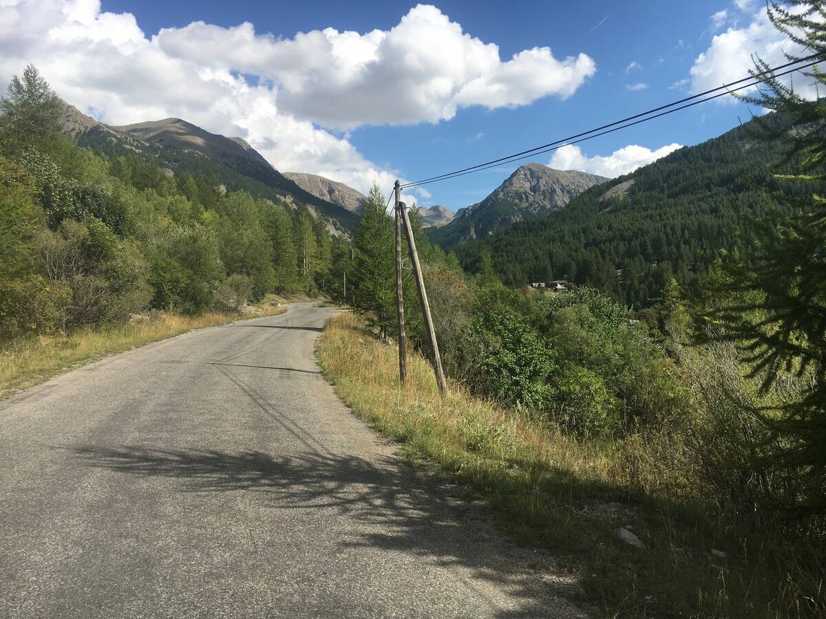
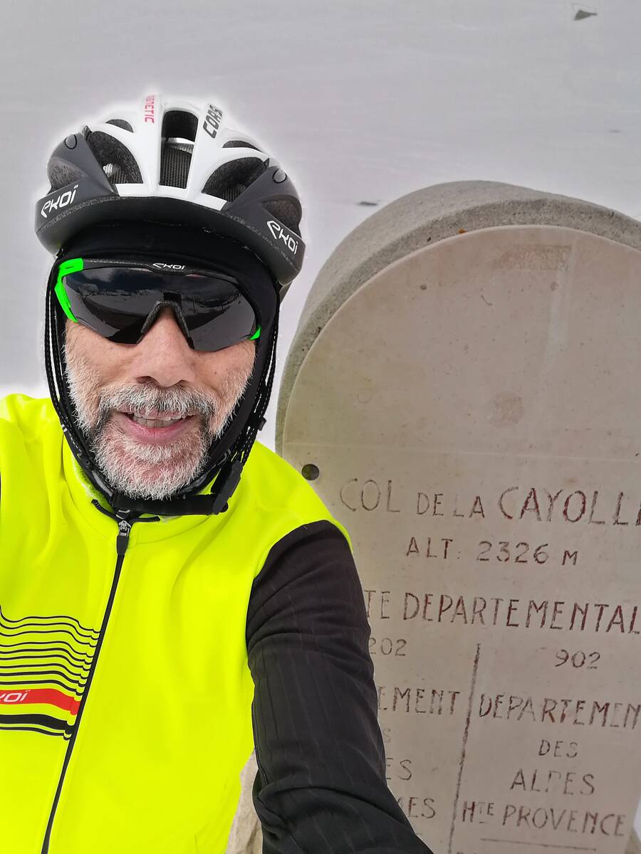
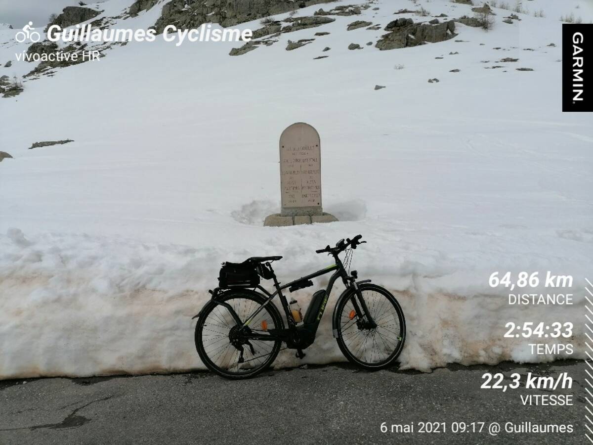
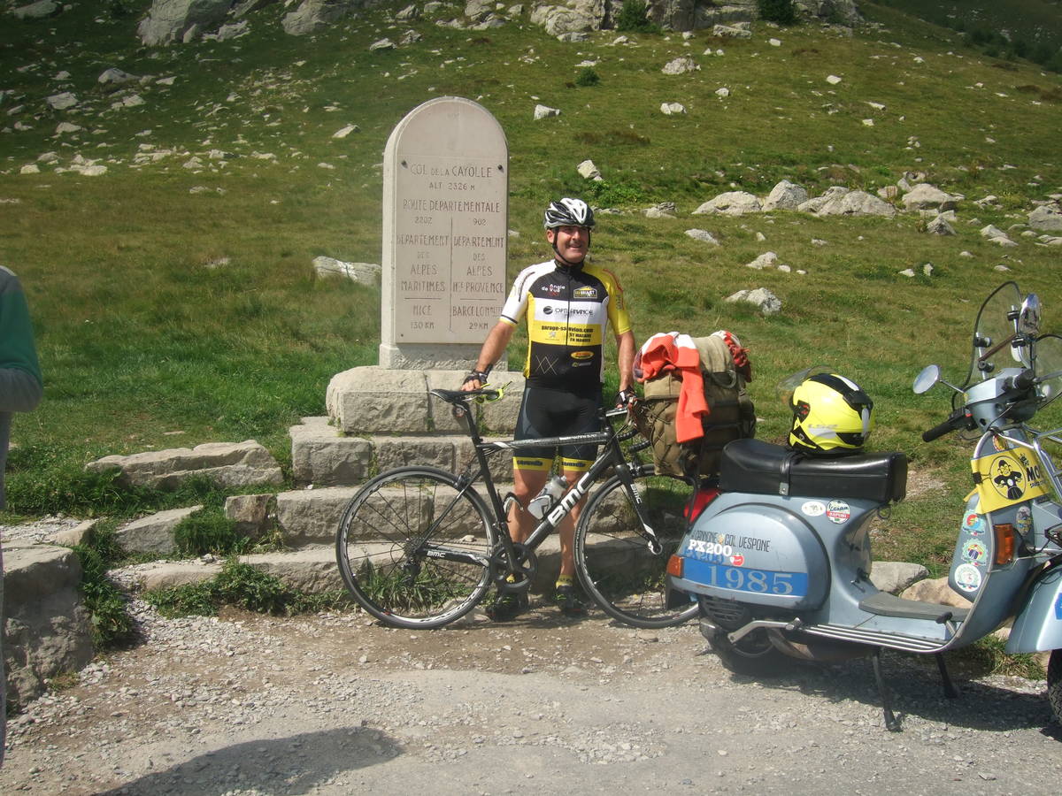
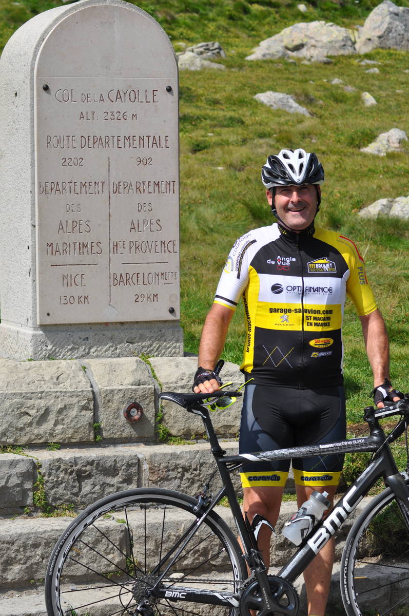
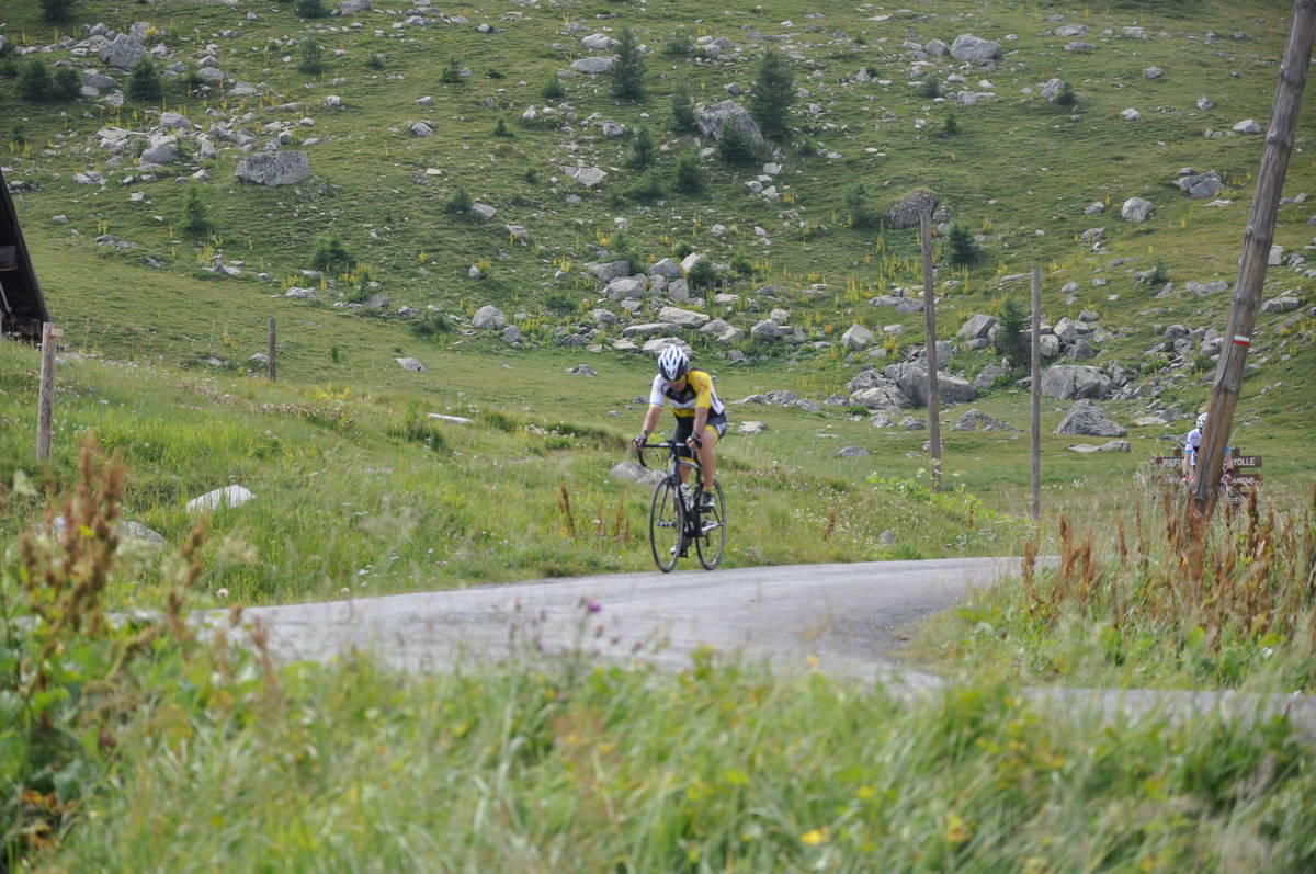
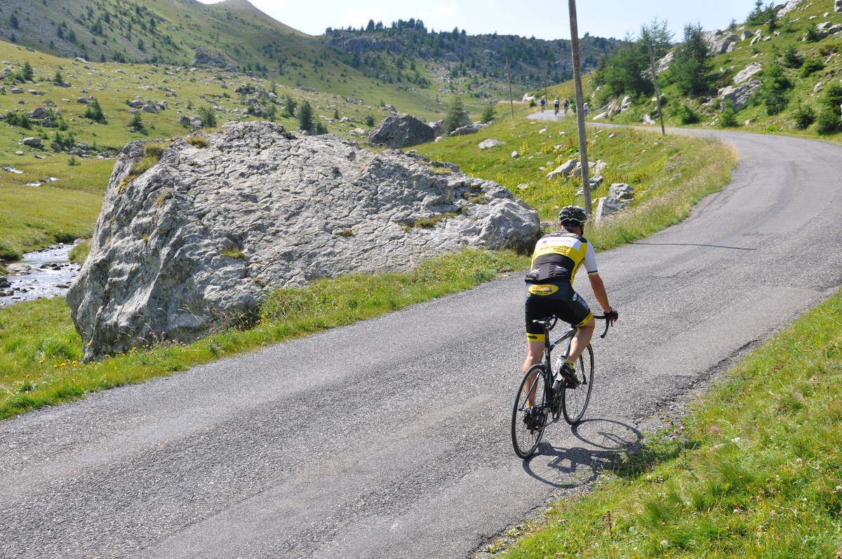
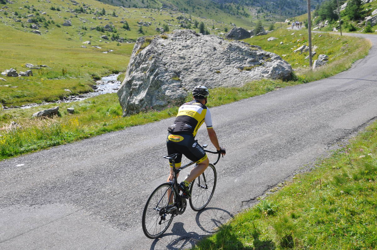
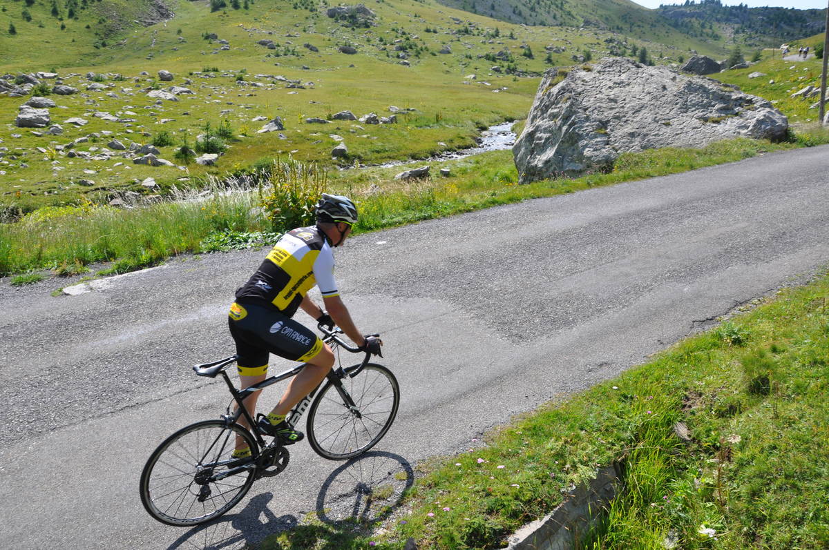
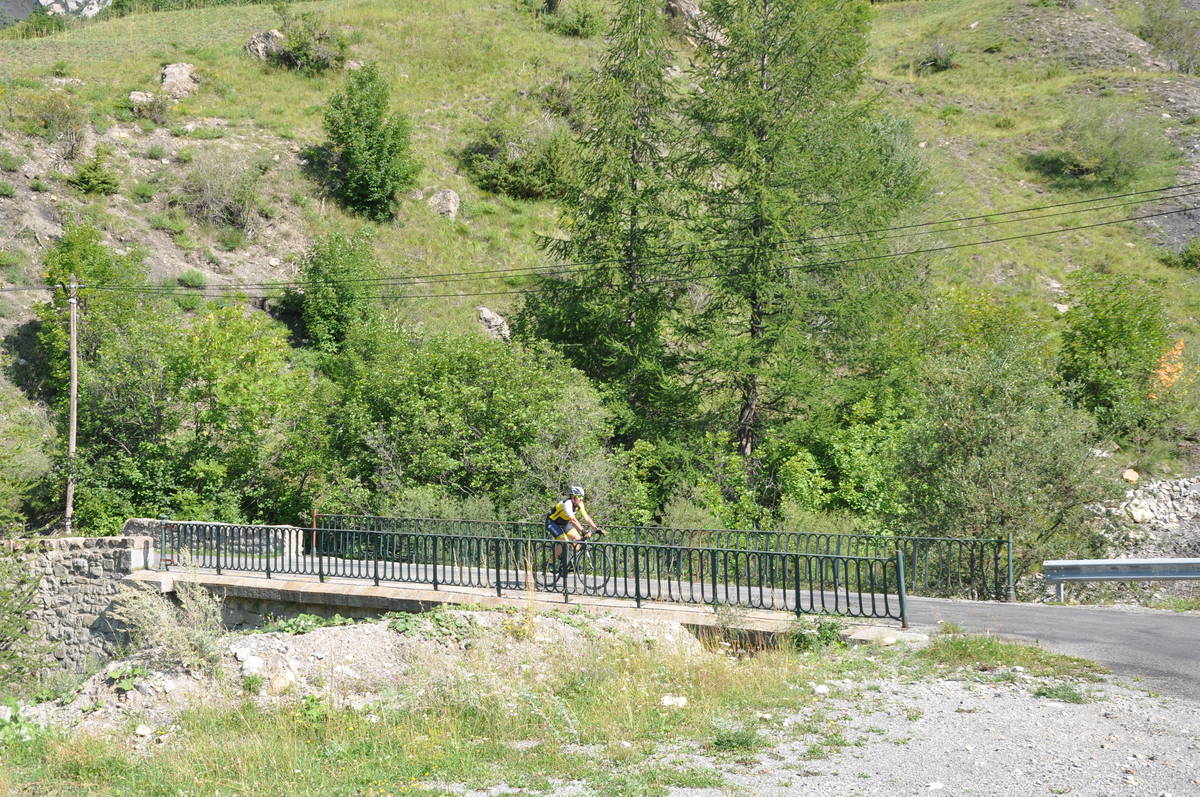
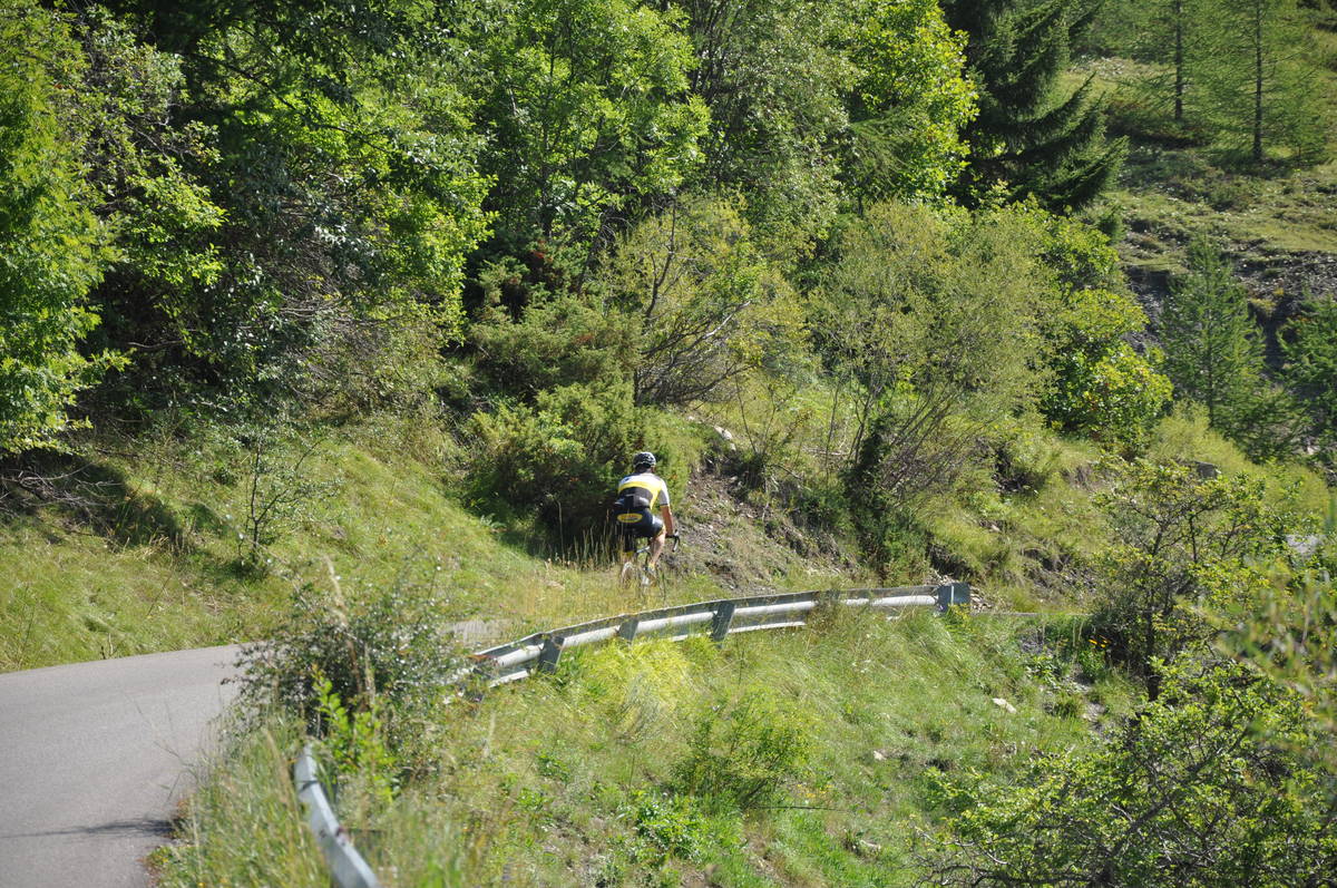
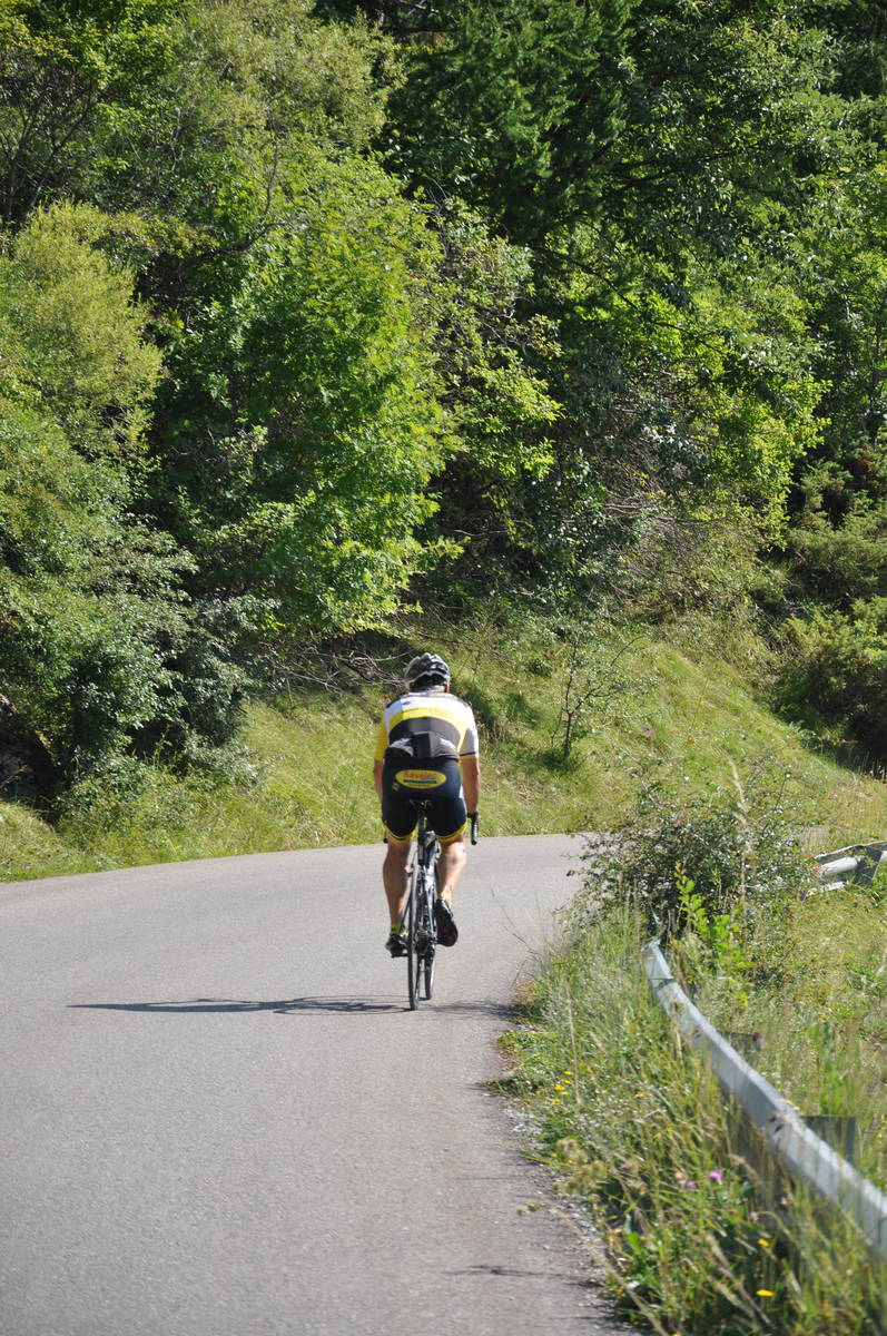
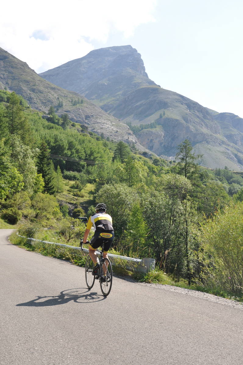
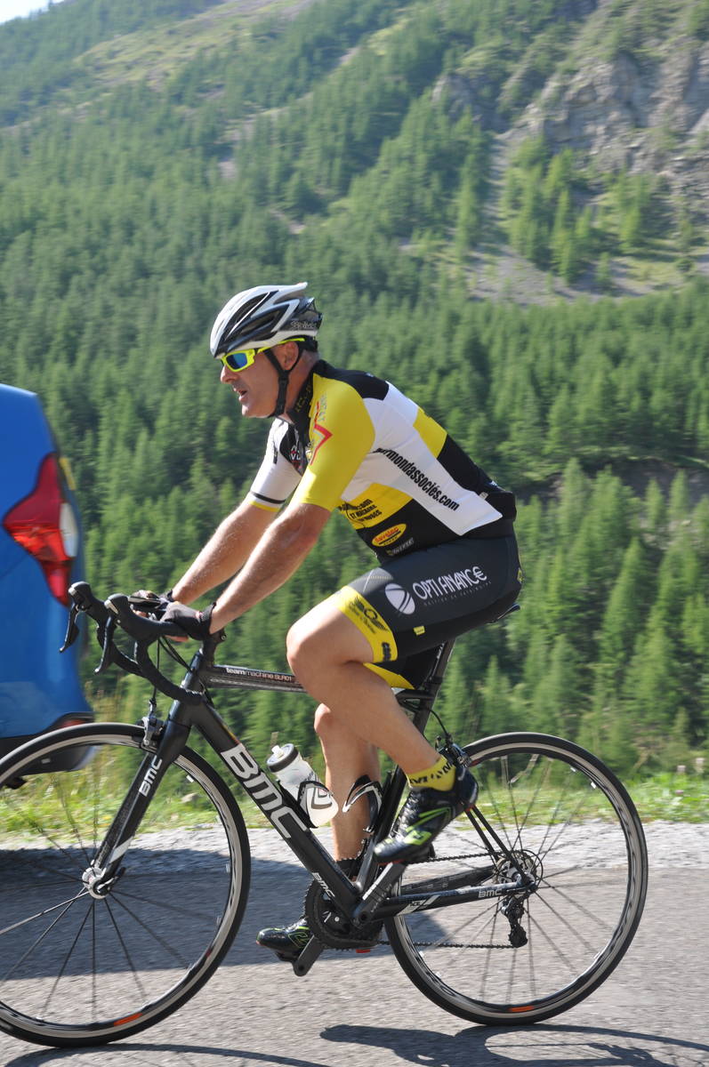
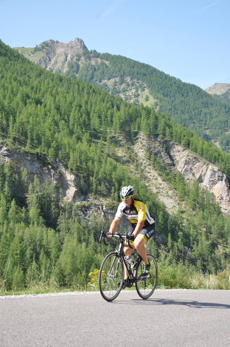
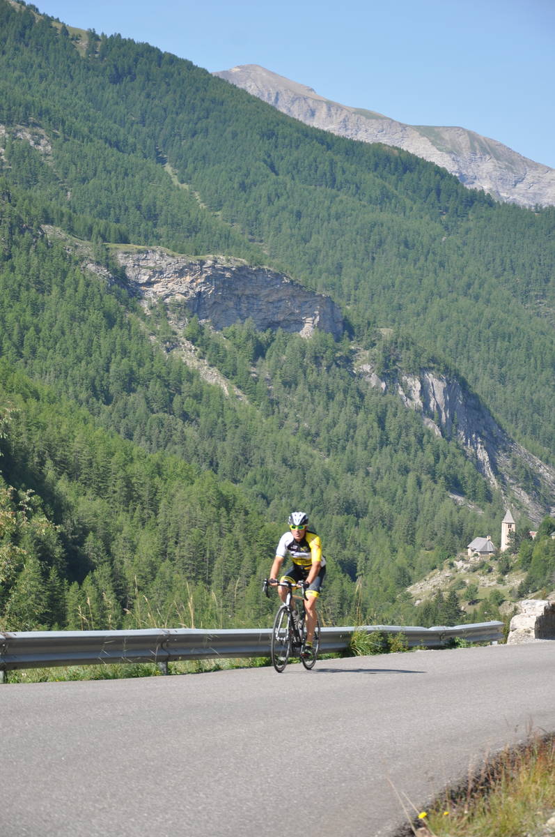
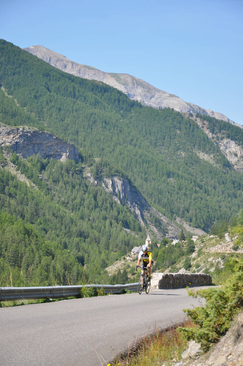
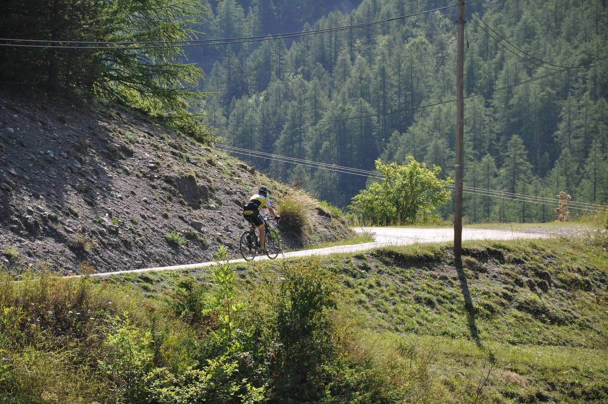
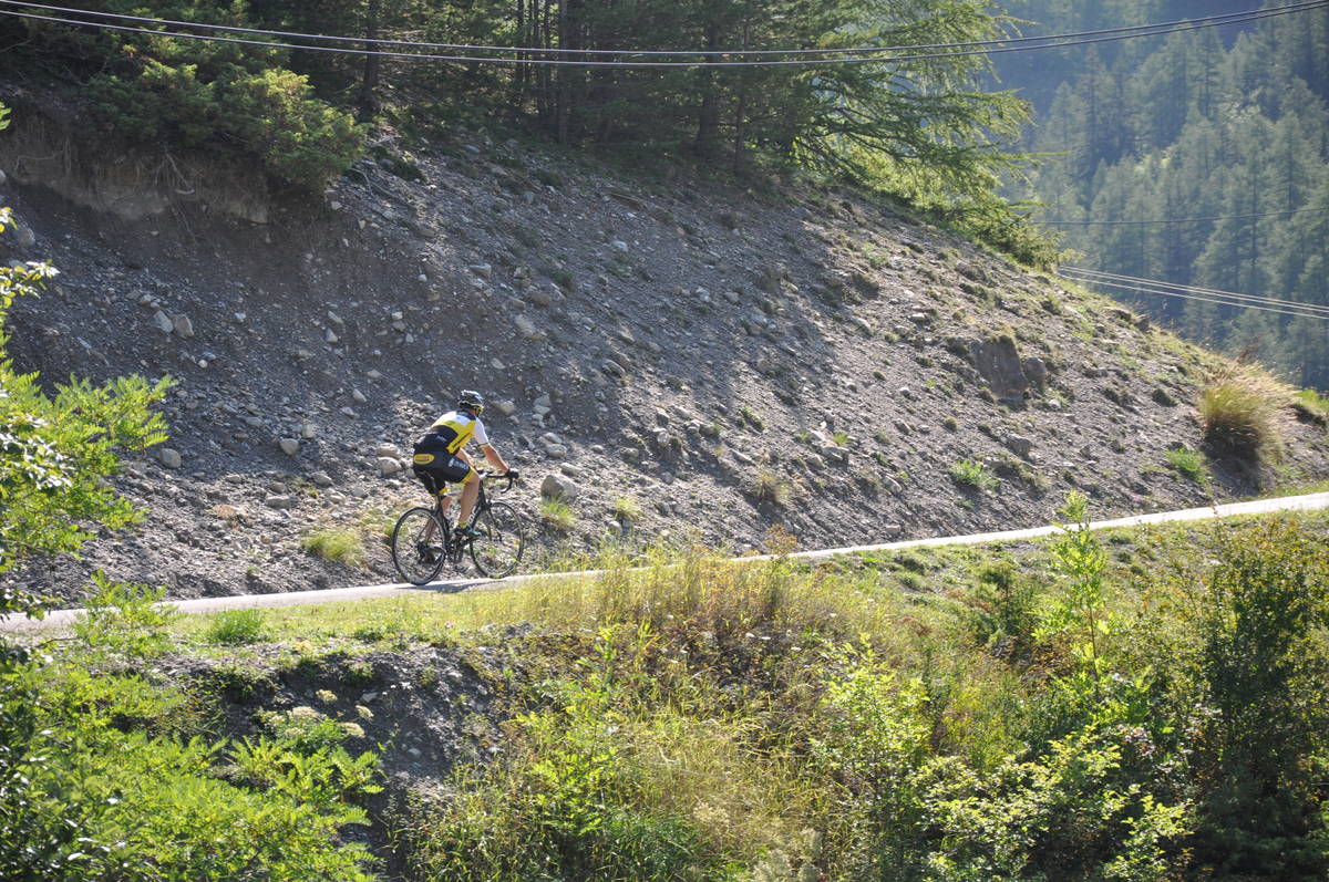
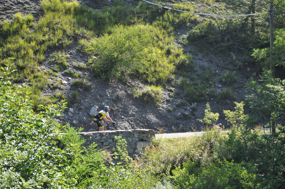
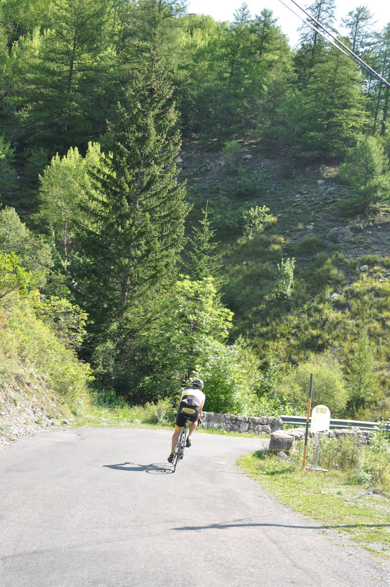
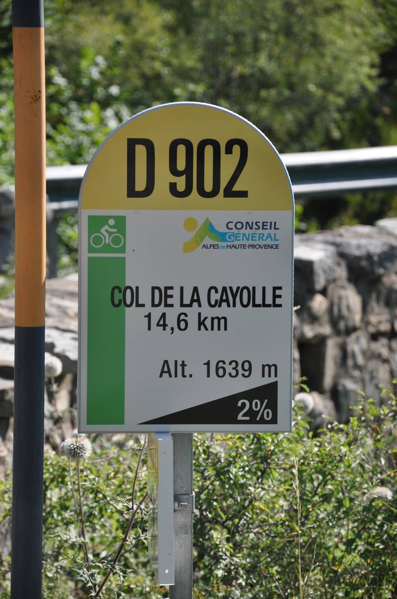
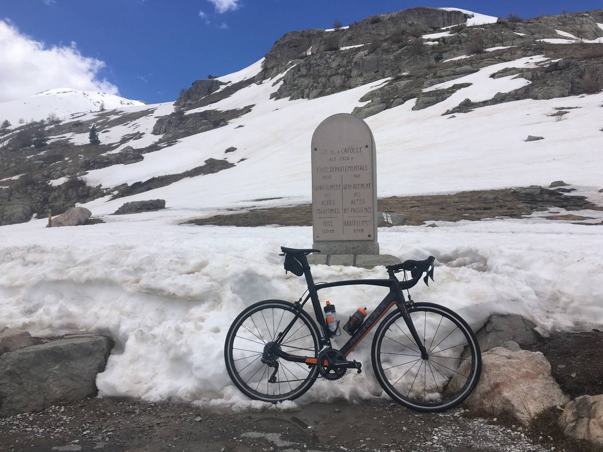
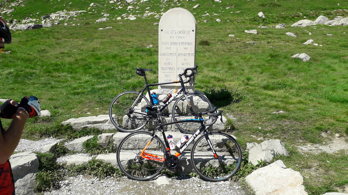
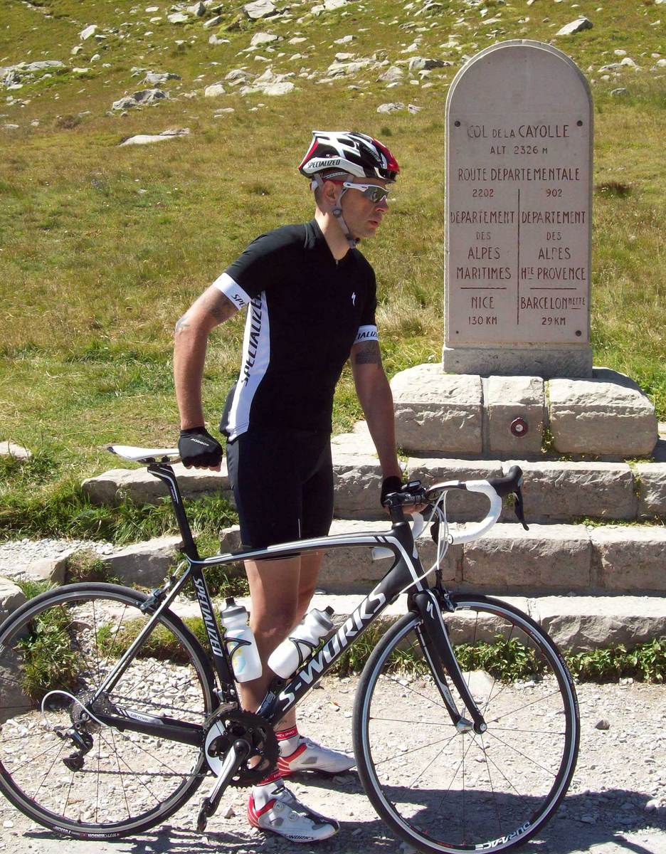
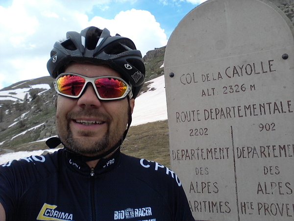
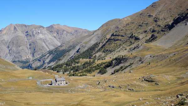
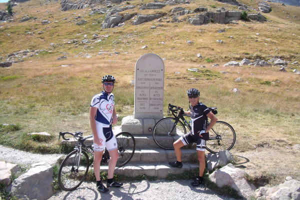
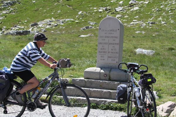
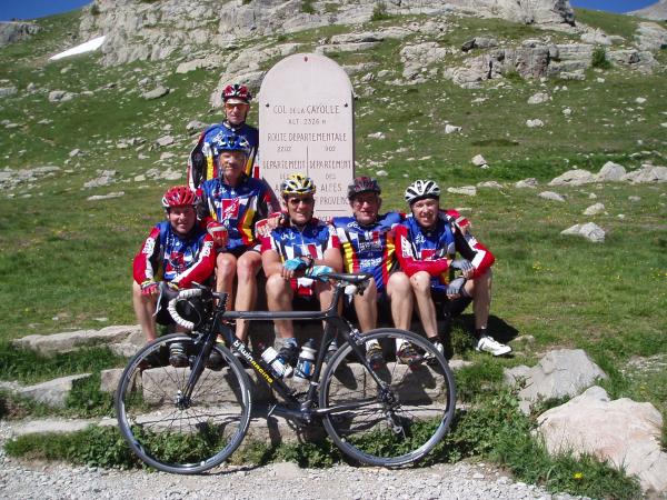
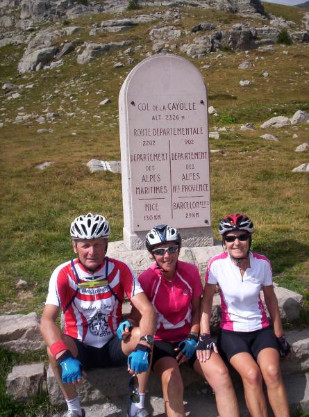
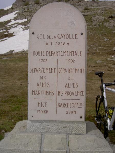
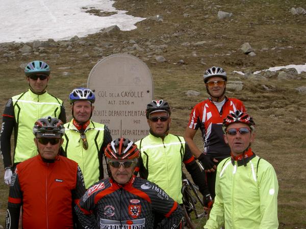
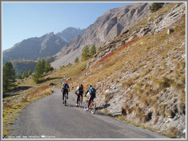
| Name : | Col de la Cayolle |
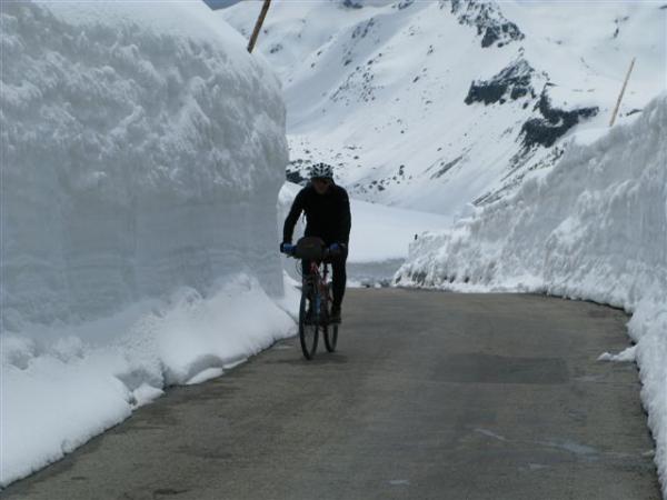
| Altitude : | 2326 m |
| Opening : |  Ouvert Ouvert |
| Start : | Barcelonnette |
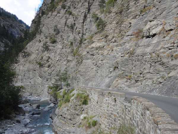
| Length : | 29.10 km |
| Elevation gain : | 1190 m |
| % Avg : | 4.09% |
| % Max : | 8.2% |
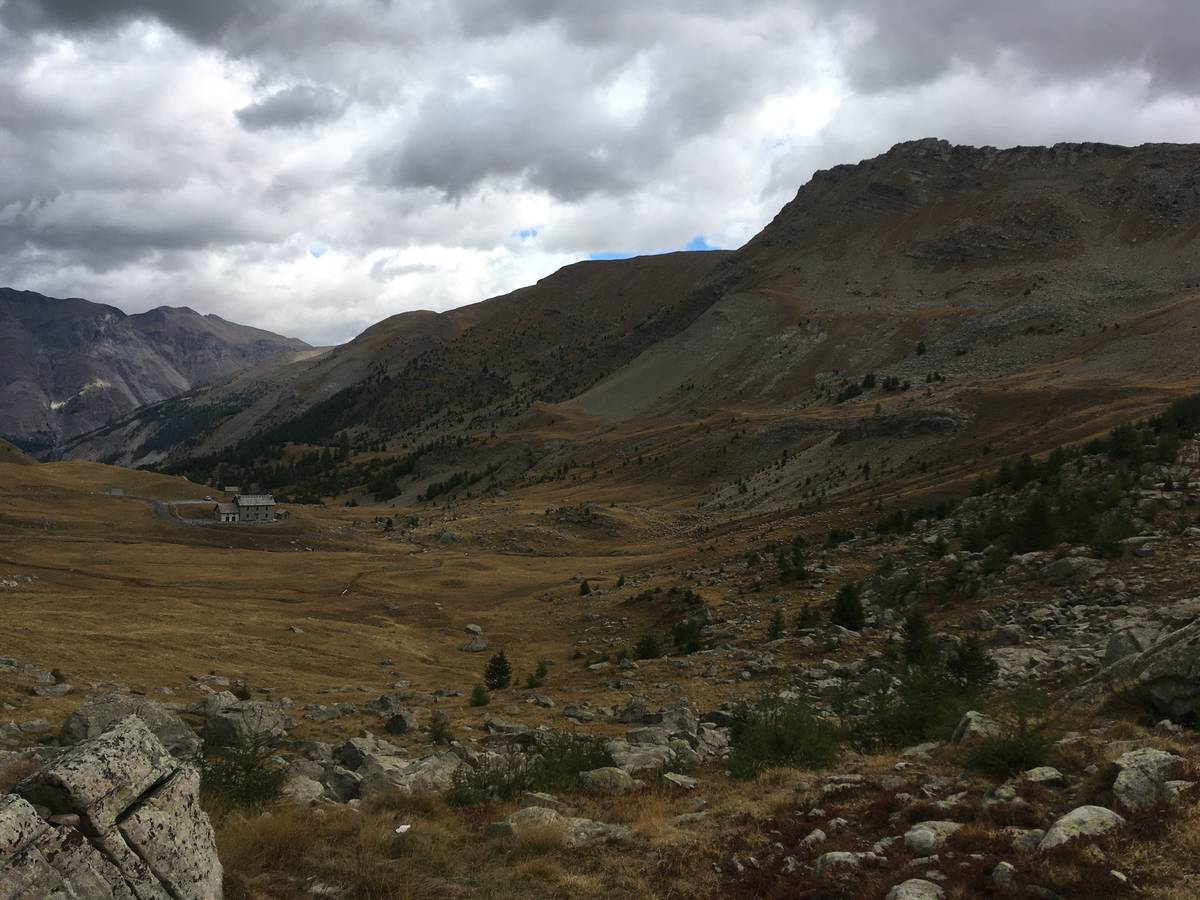
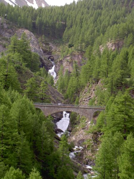
| Mountain range : | Mercantour, France |
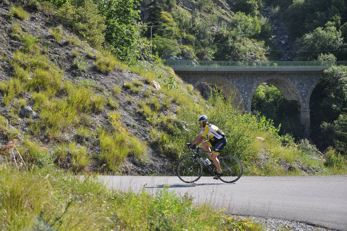
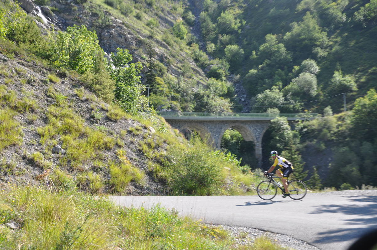
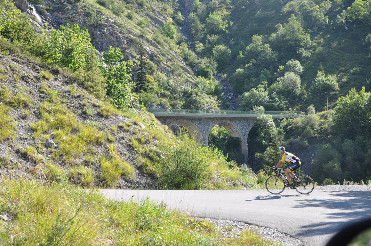
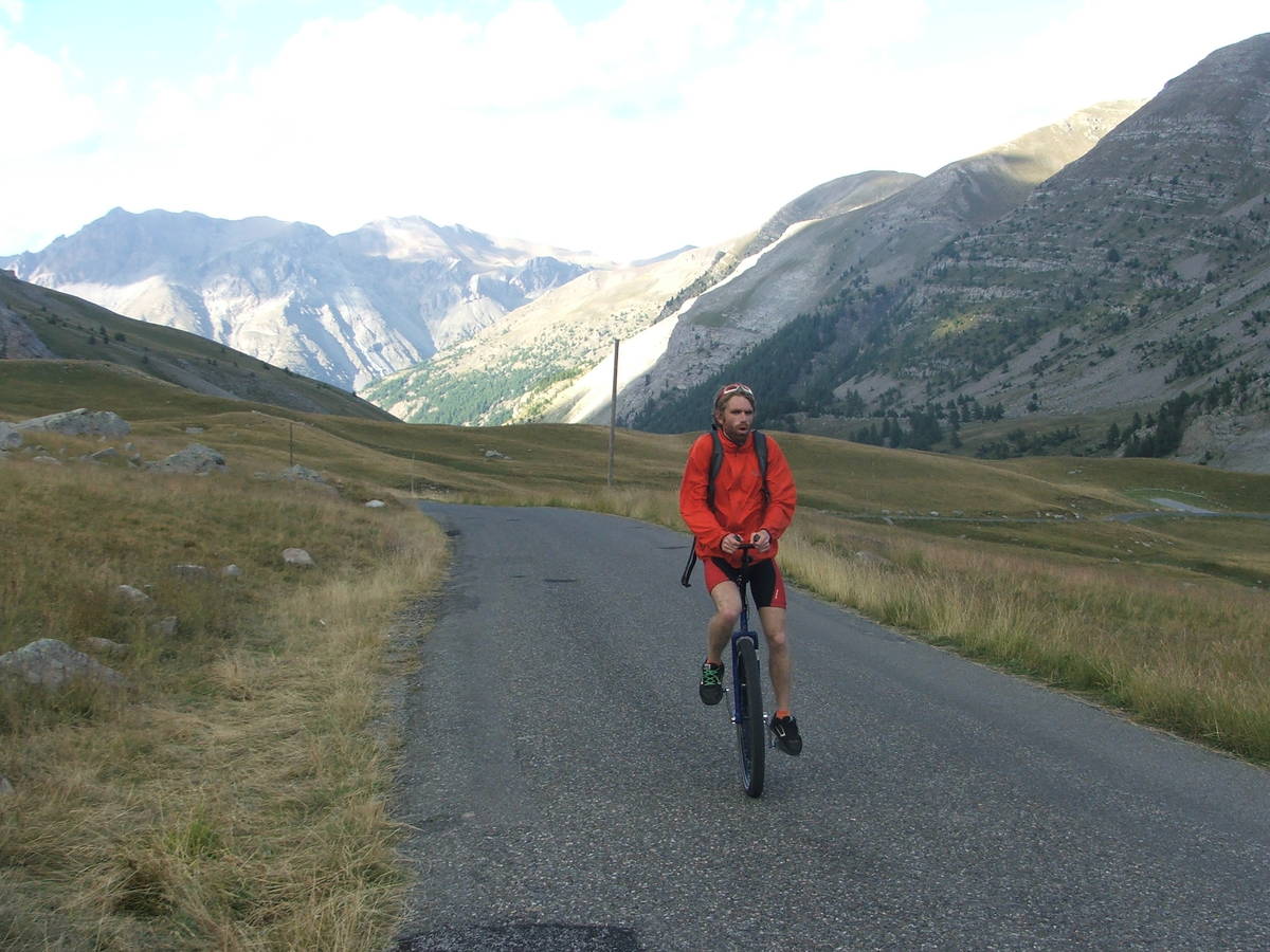
There's other climb of this summit
Map
Profile

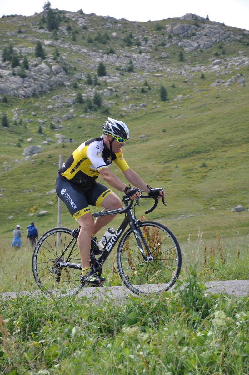
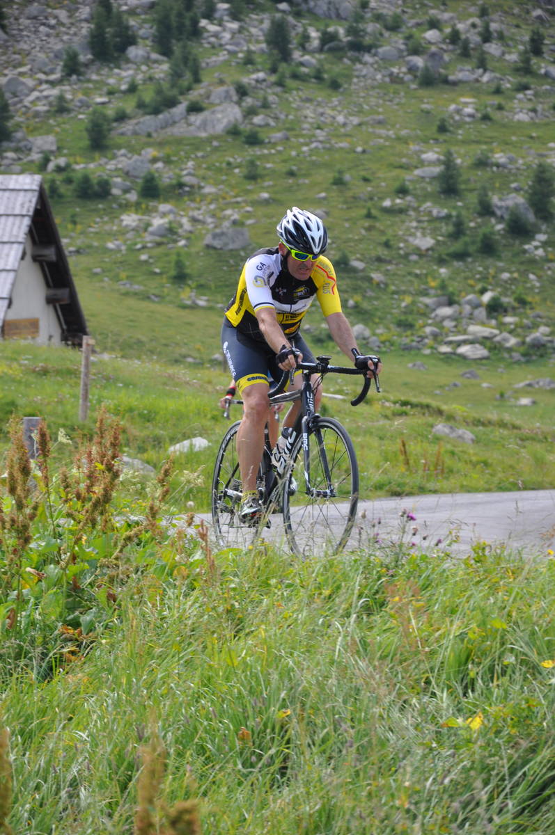
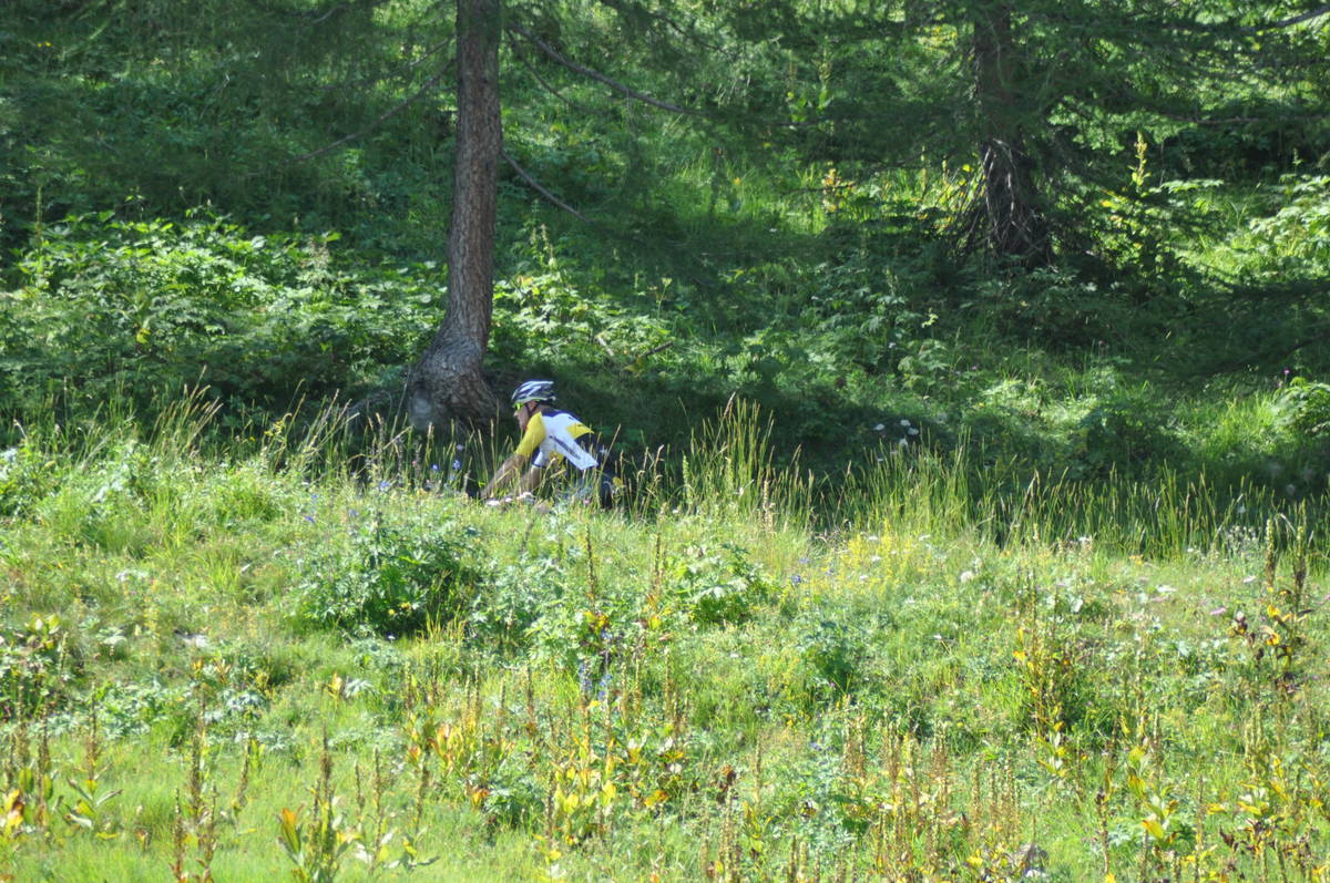
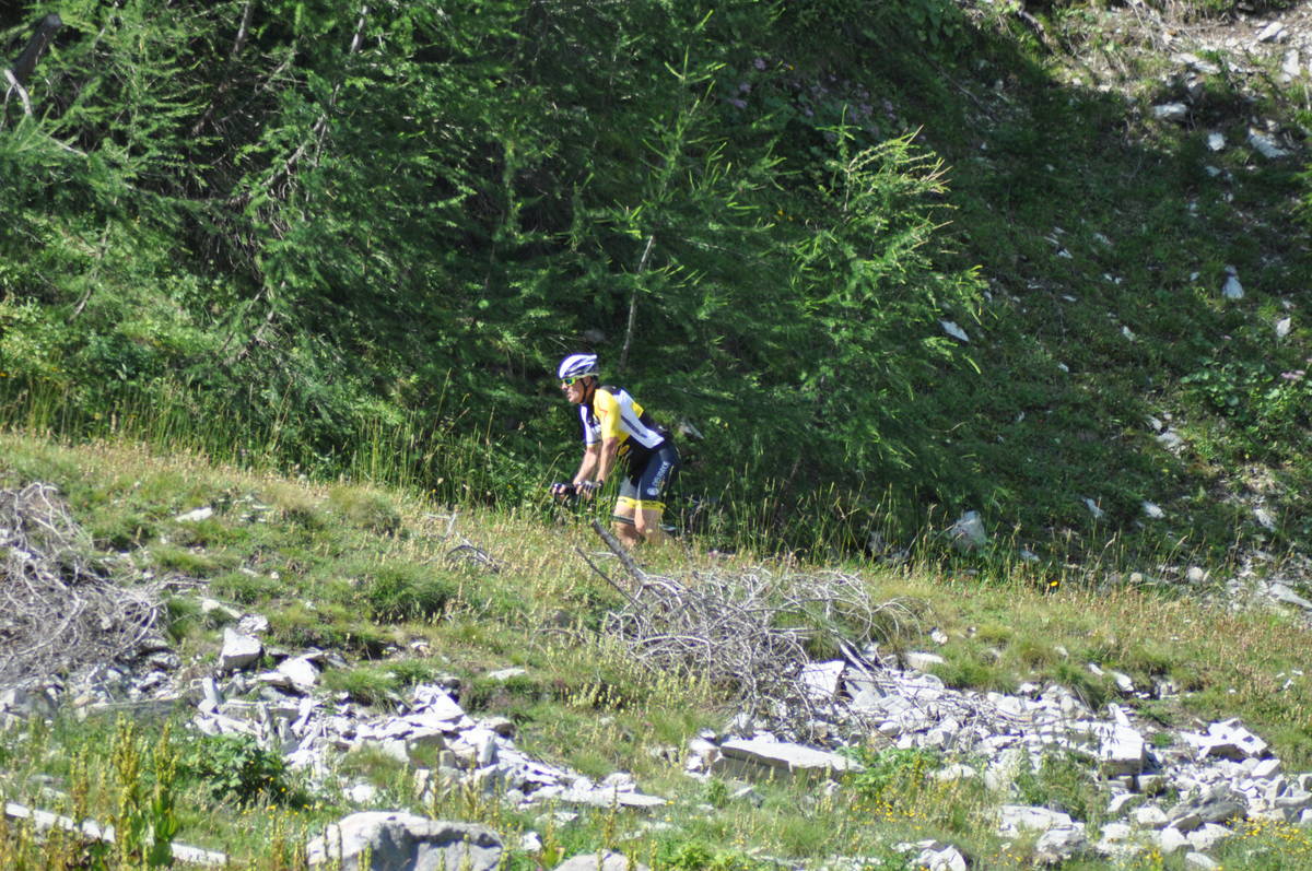
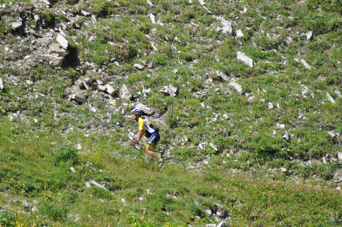
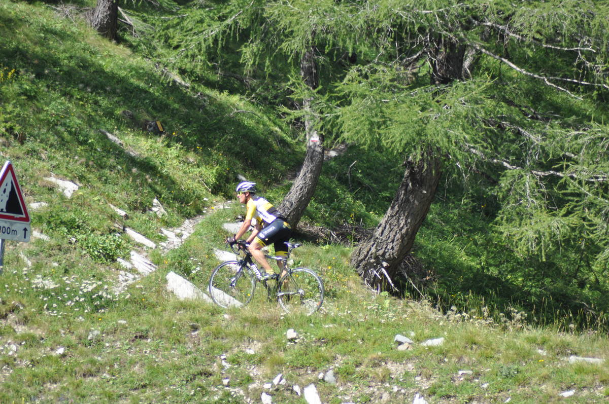
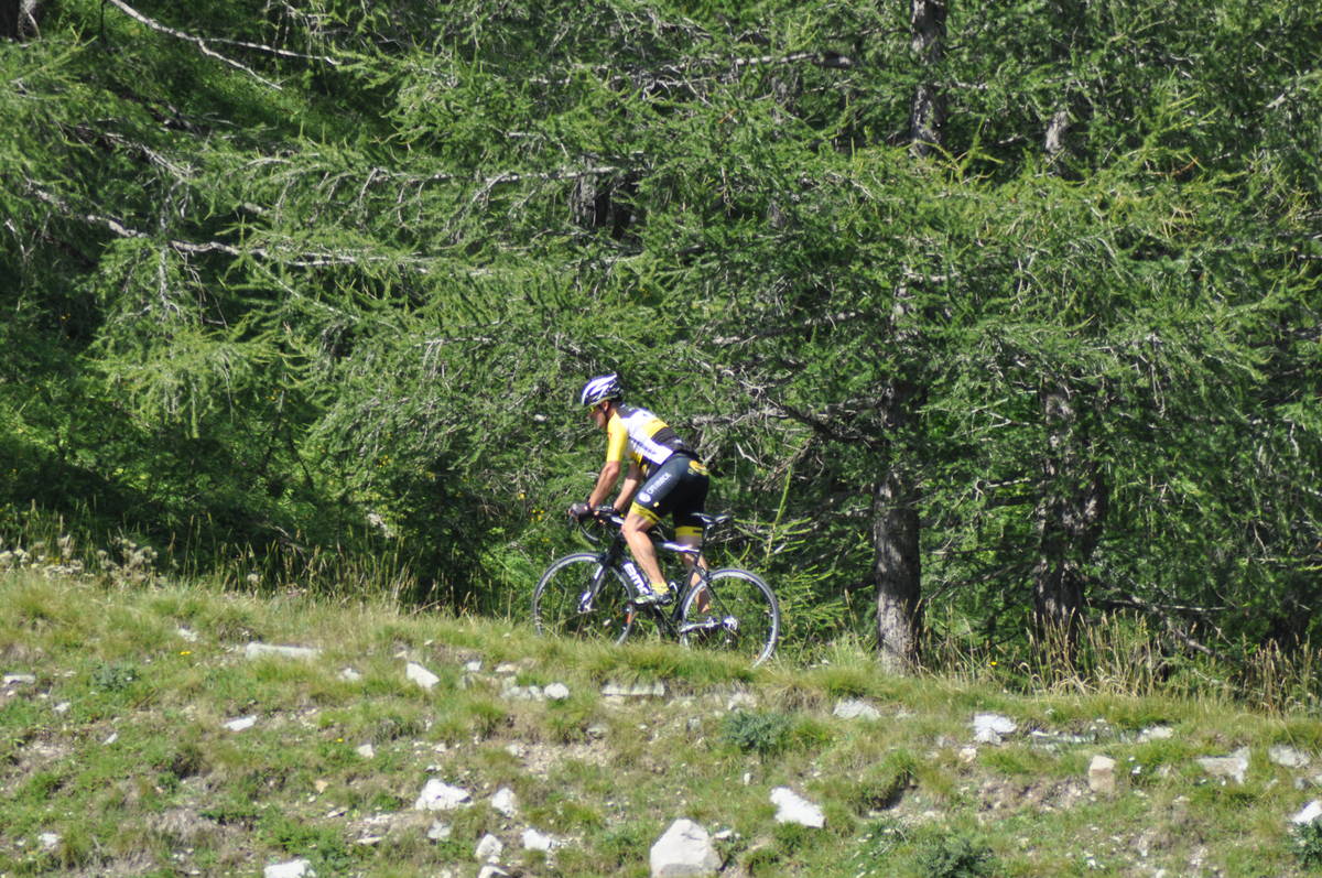
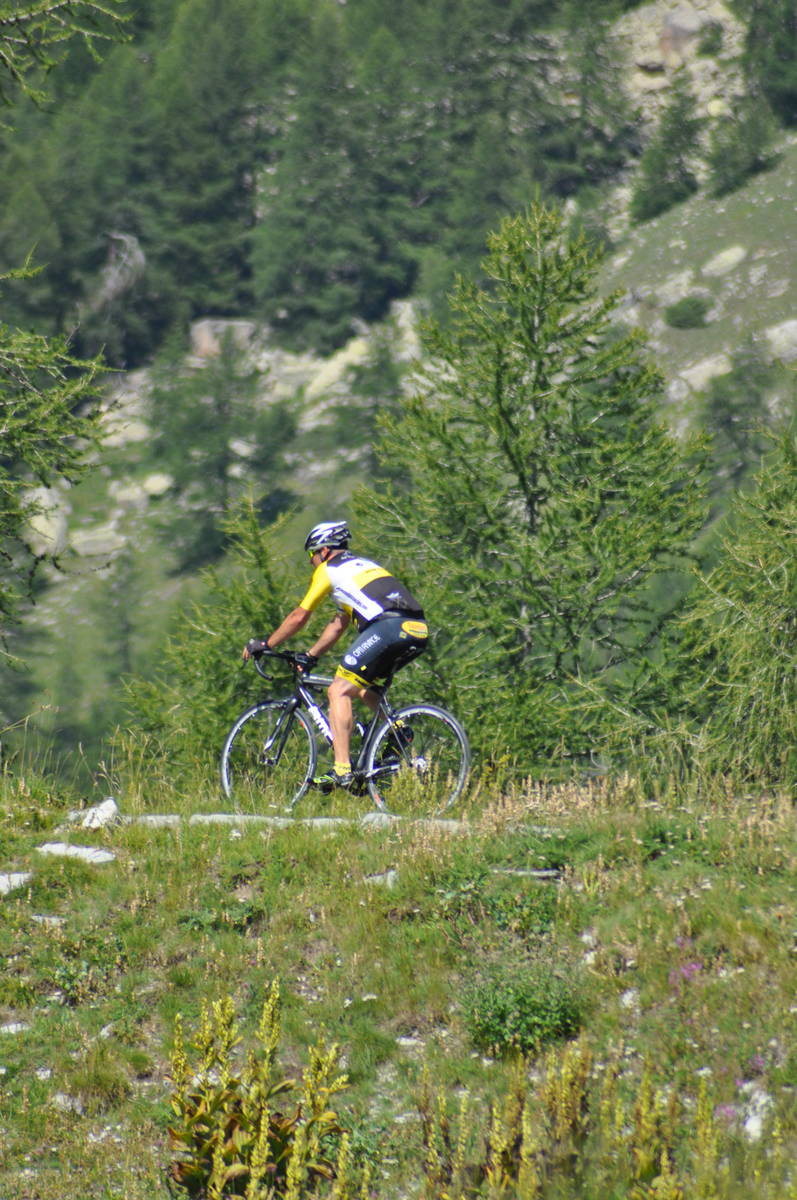
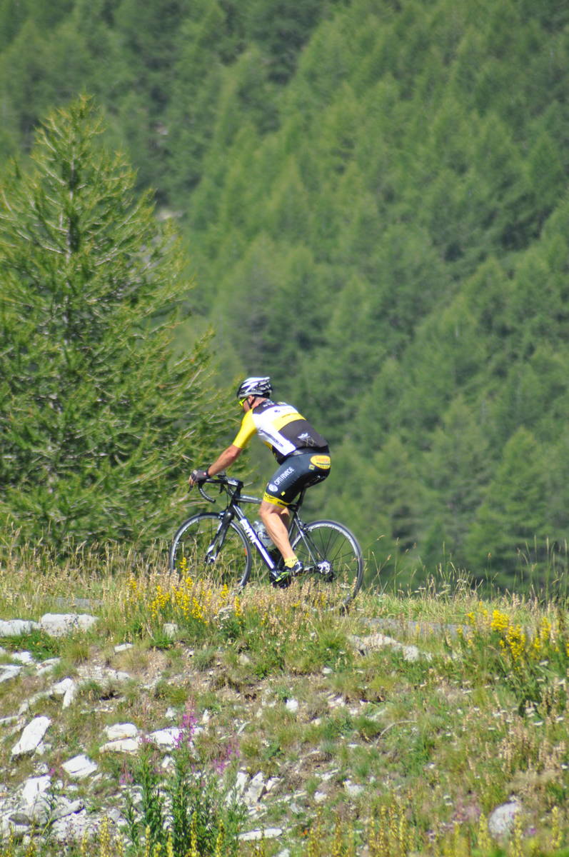
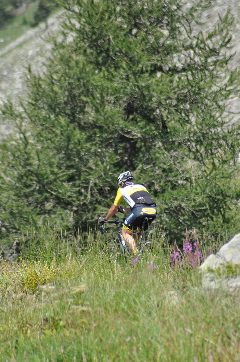
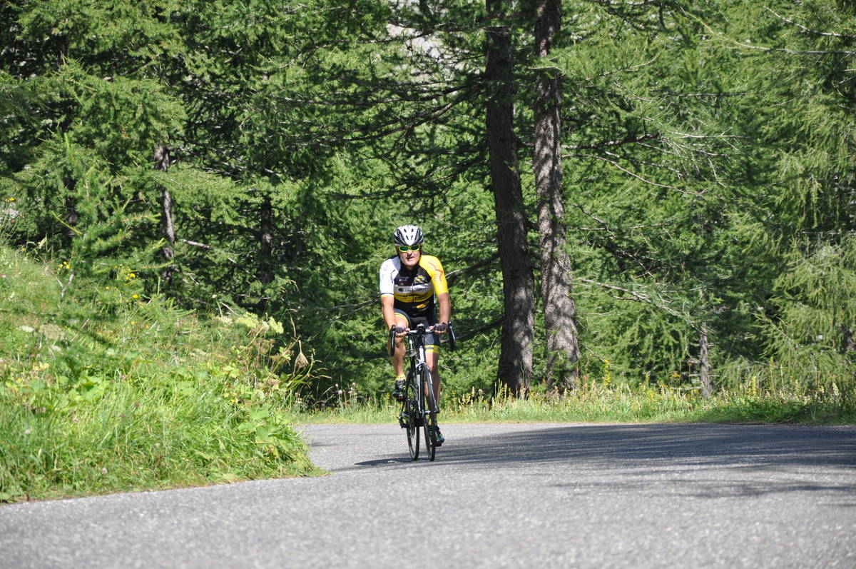
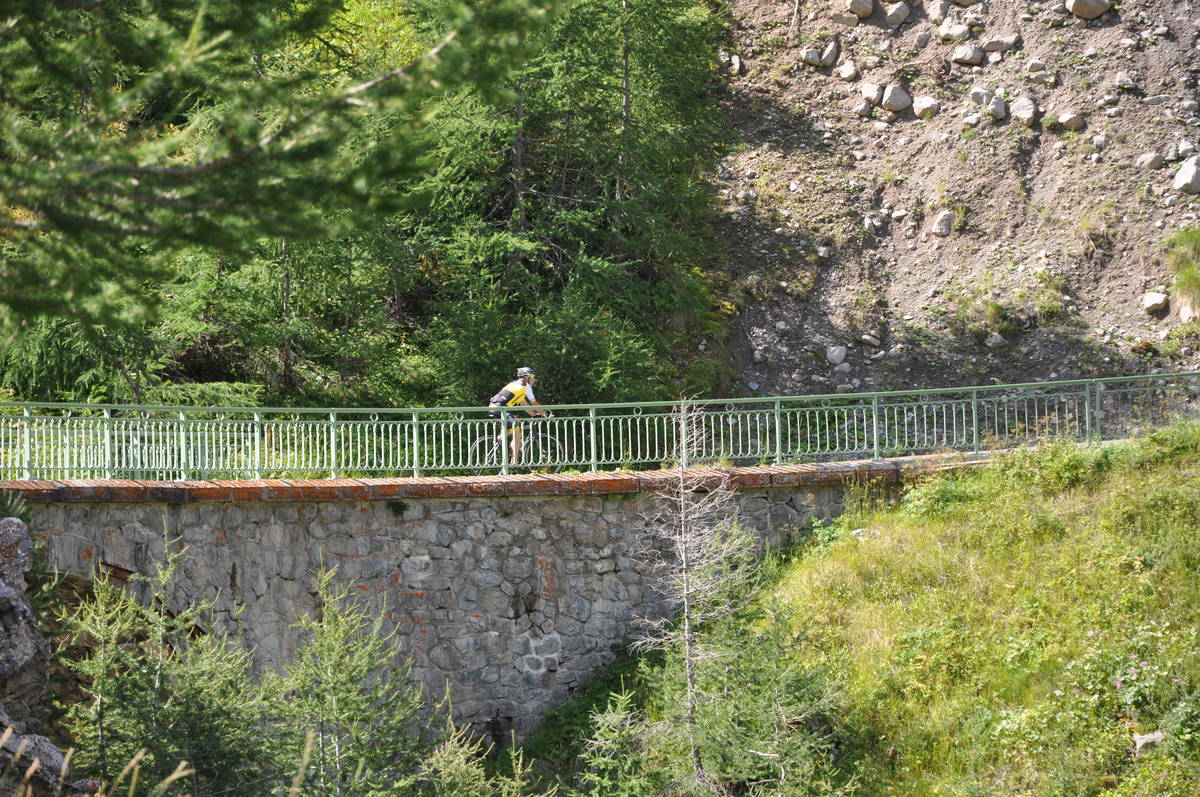
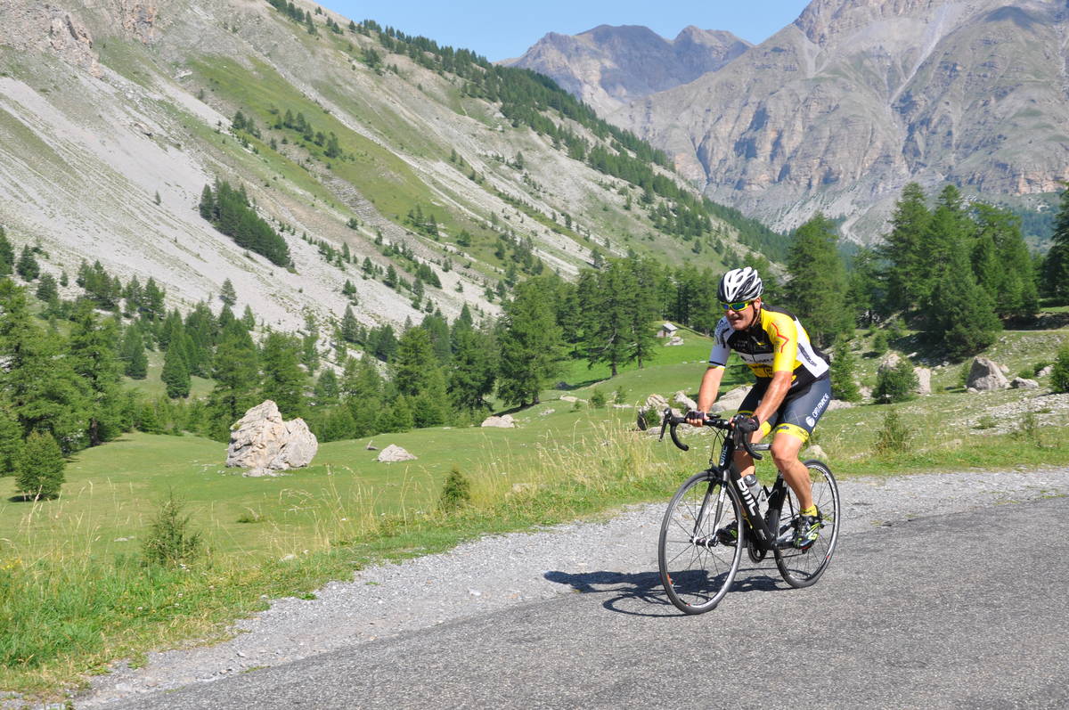
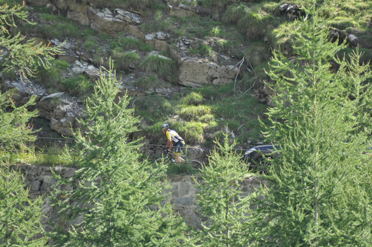
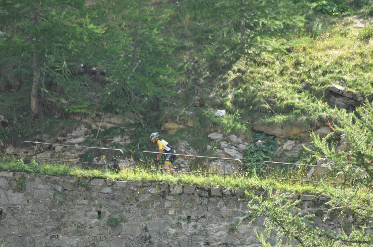
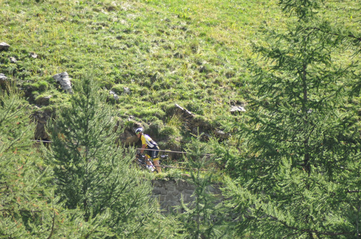
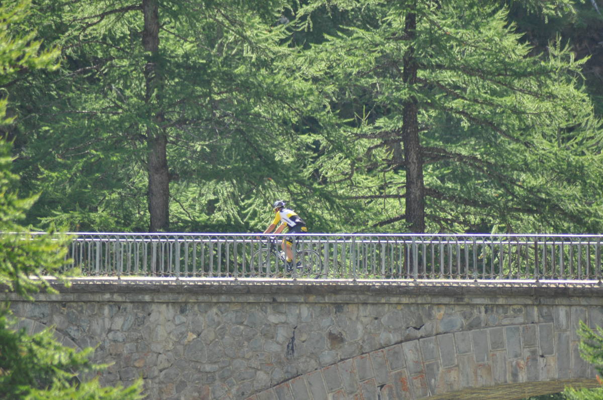
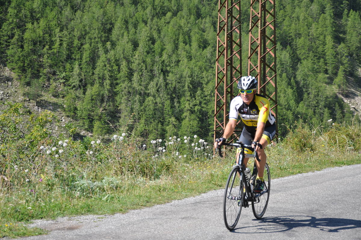
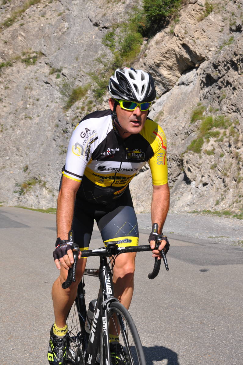
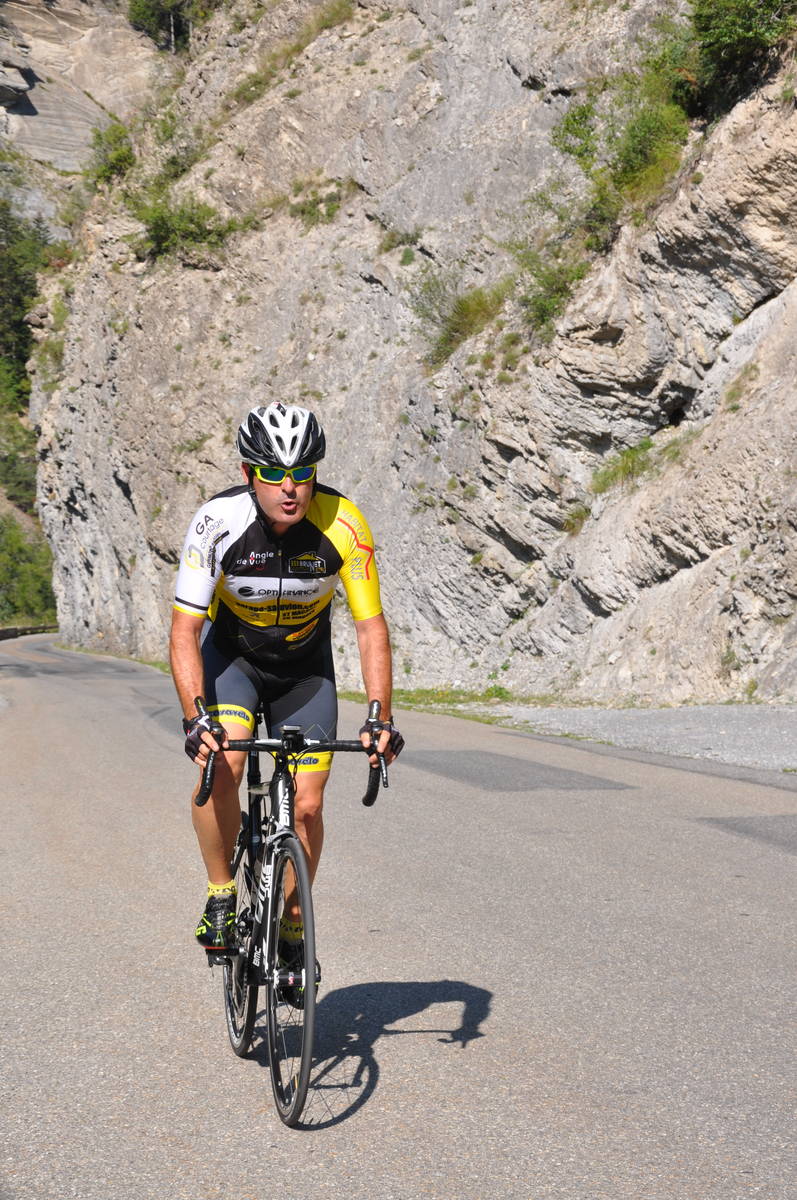
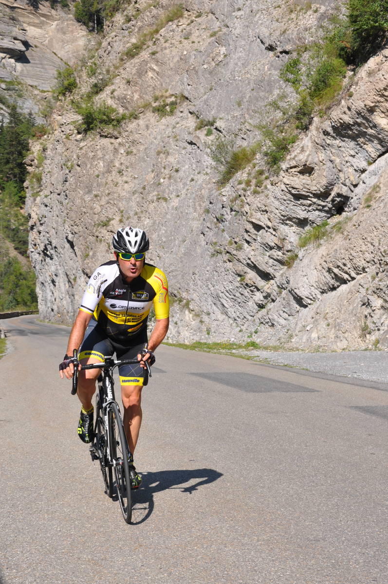
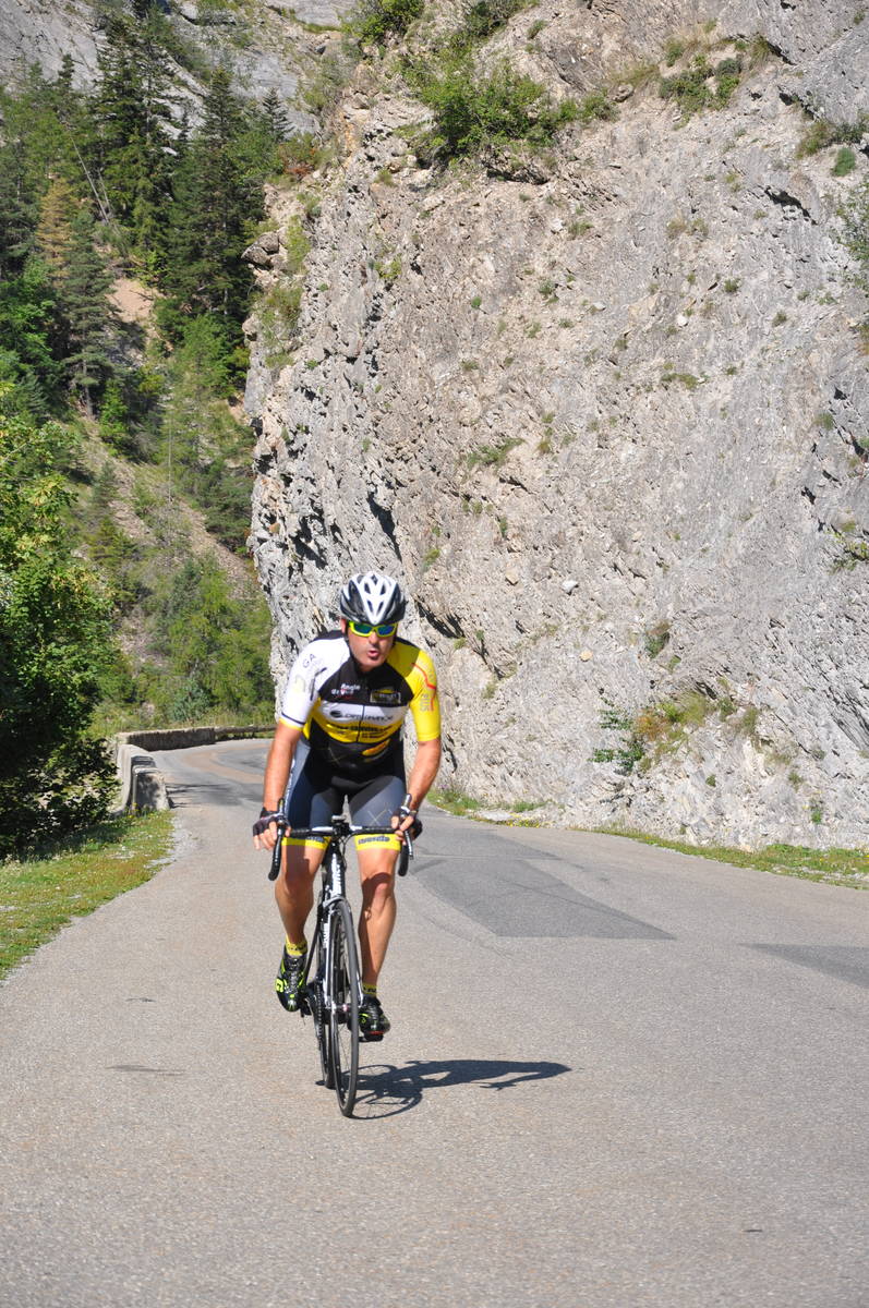
 Ascents reserved for cyclists