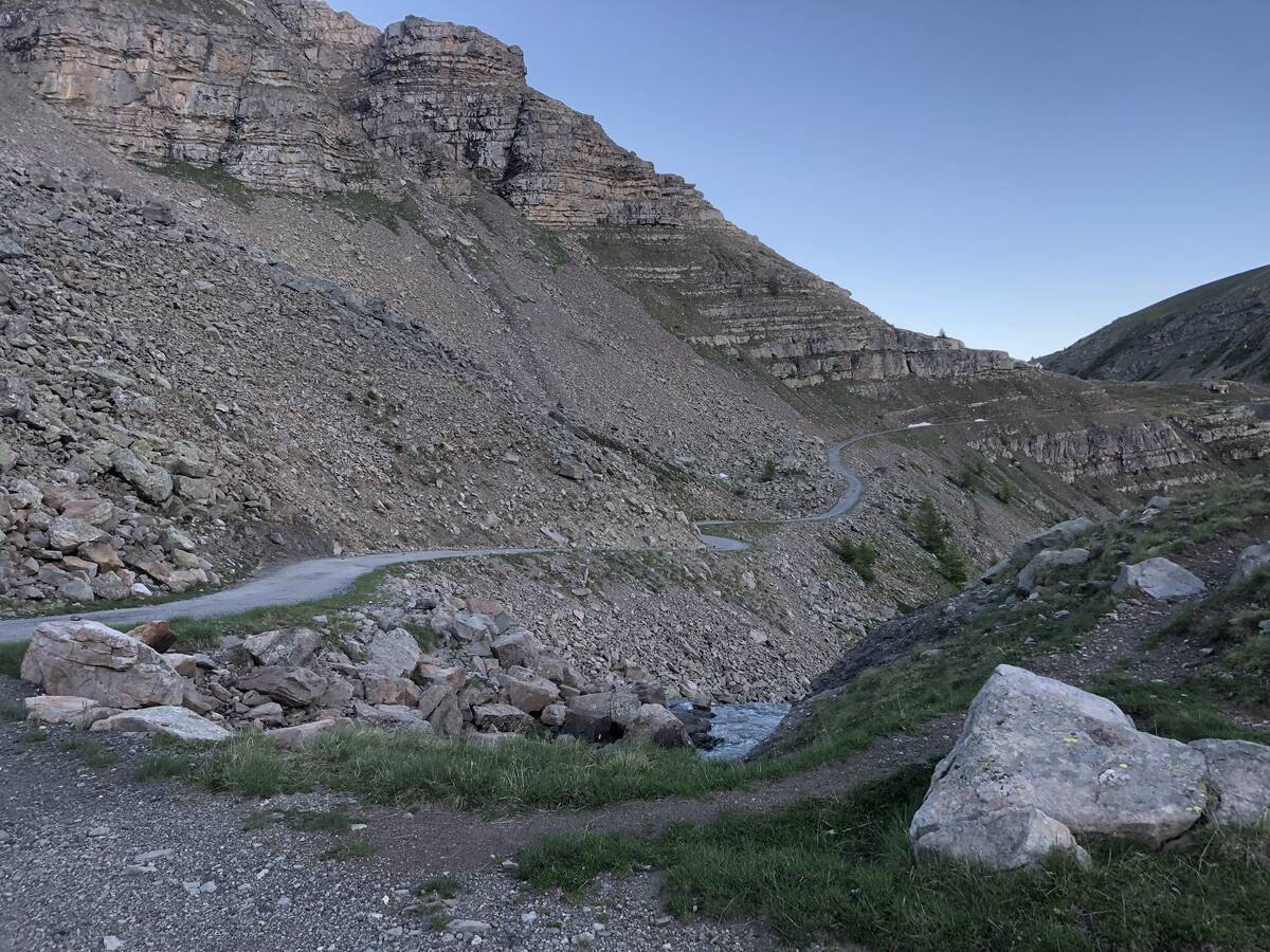
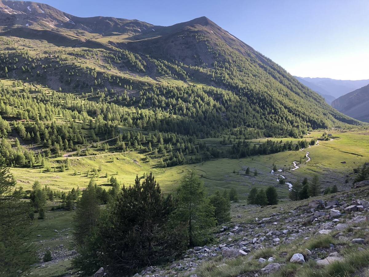
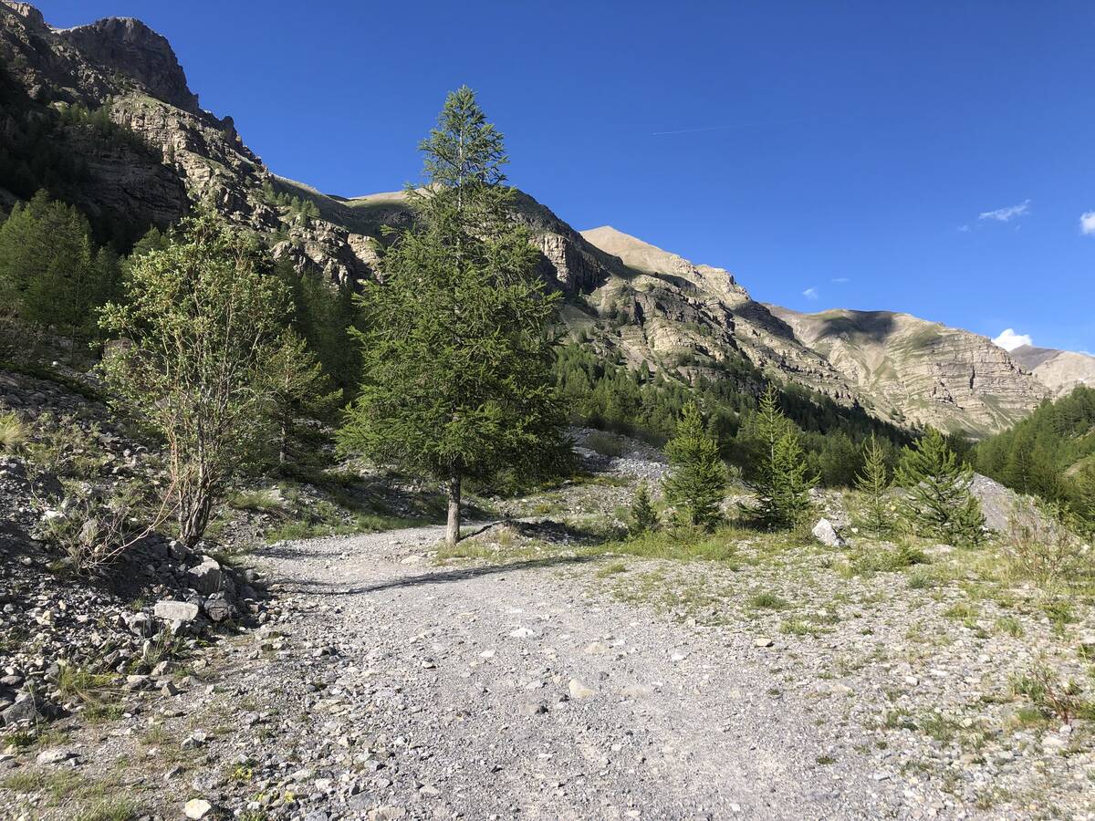
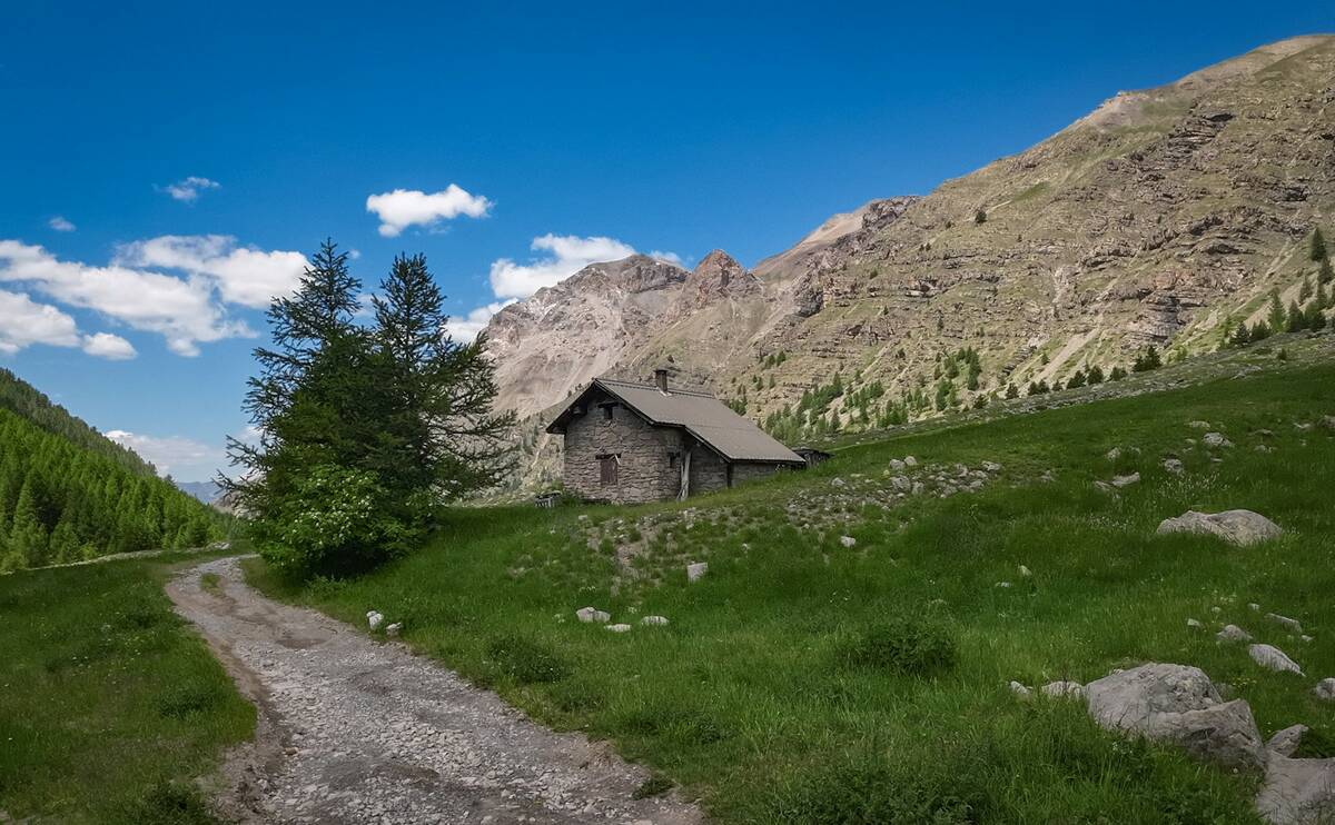
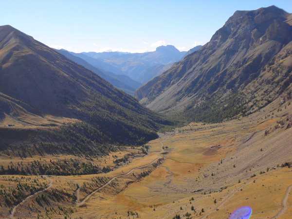
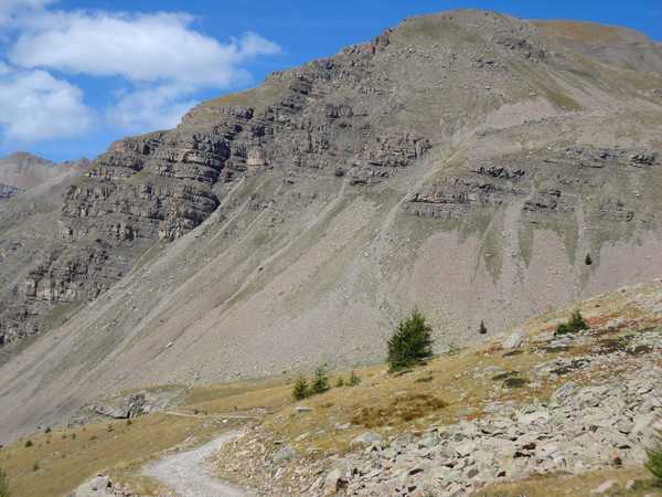
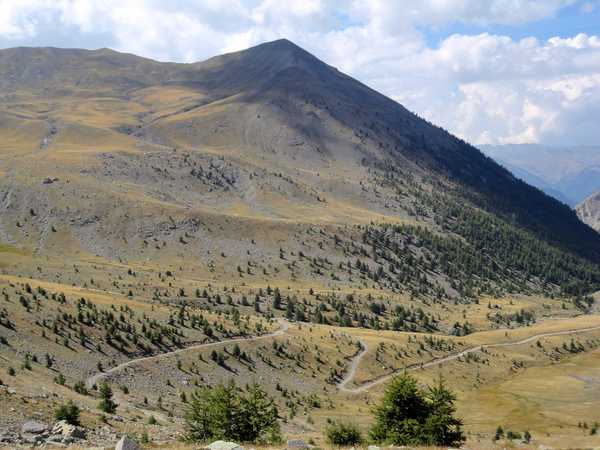
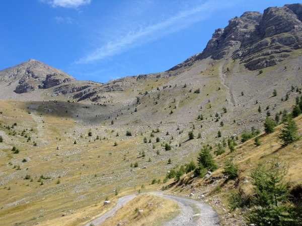
Information
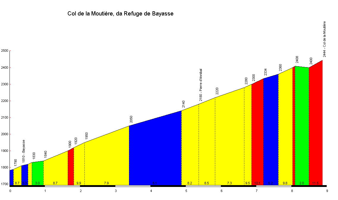
| Name : | Col de la Moutière |
| Altitude : | 2454 m |
| Start : | Refuge de Bayasse |
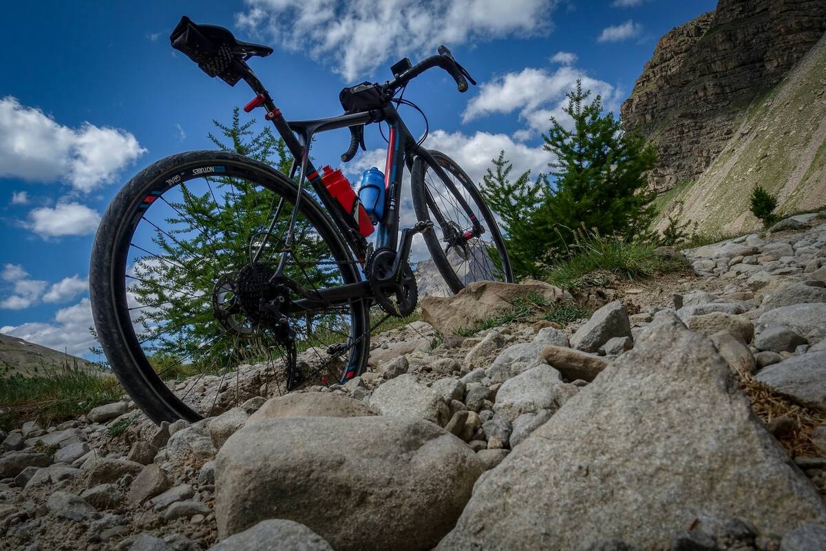
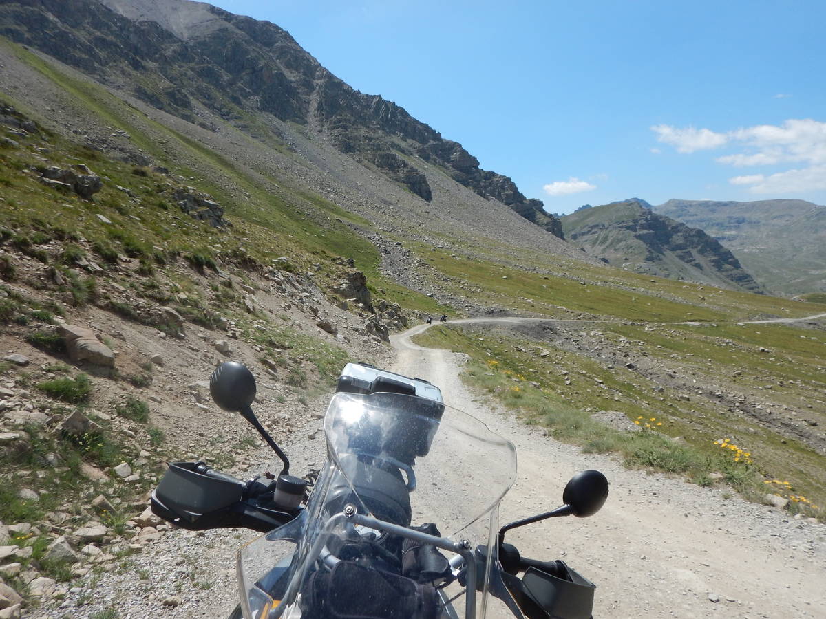
| MTB : | WARNING: this climb requires a MTB |
| Length : | 8.90 km |
| Elevation gain : | 661 m |
| % Avg : | 7.43% |
| % Max : | 11.5% |
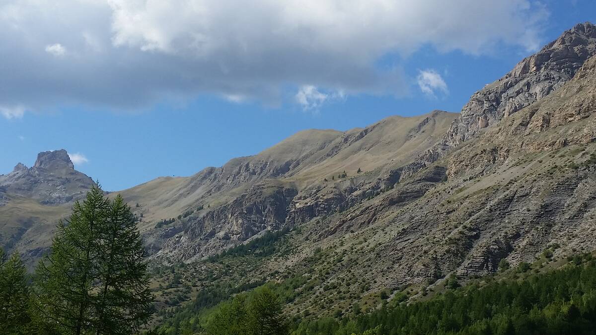
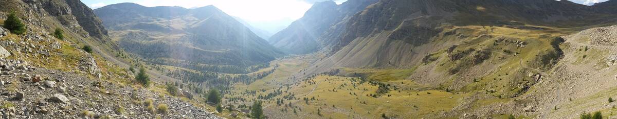
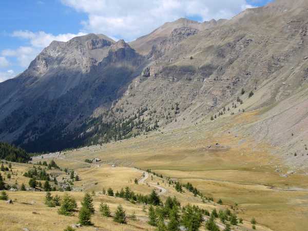
| Mountain range : | Mercantour, France |
There's other climb of this summit
Map
Profile
 Ascents reserved for cyclists