Information
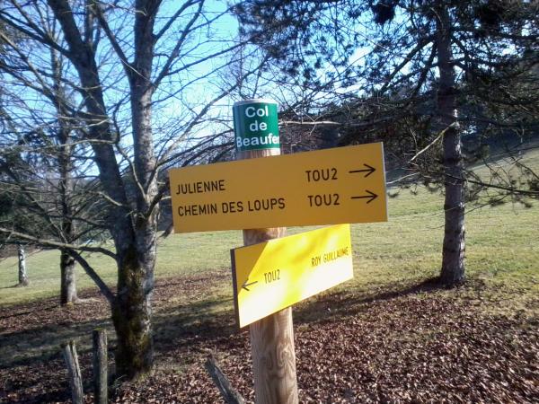
| Name : | Col de Beaufer |
| Altitude : | 303 m |
| Start : | D482 / D14 |
| Length : | 1.50 km |
| Elevation gain : | 49 m |
| % Avg : | 3.27% |
| % Max : | 6.0% |
| Mountain range : | Monts du Mâconnais, France |
Map
Programming LIGNEY SS2I - Webdesign Véronique Vilmant. Others websites : water for cycling, map of french passes
 Ascents reserved for cyclists