Want to add a testimonial ?
Login or Create your account
00:00:00 • Colman • Comment posted on 14/12/2014
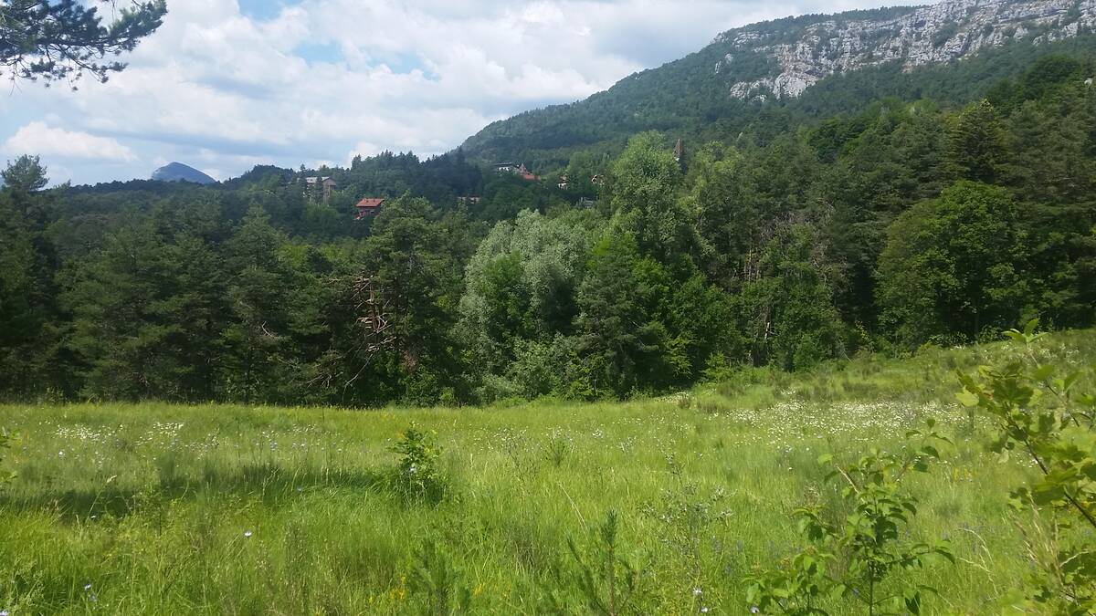
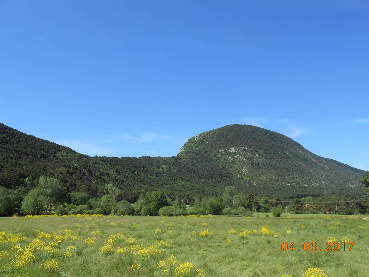
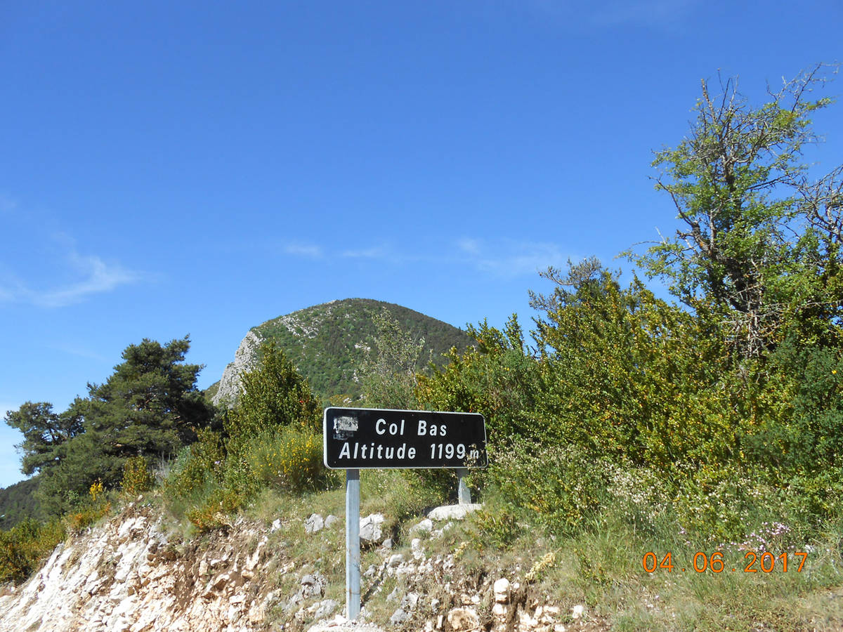
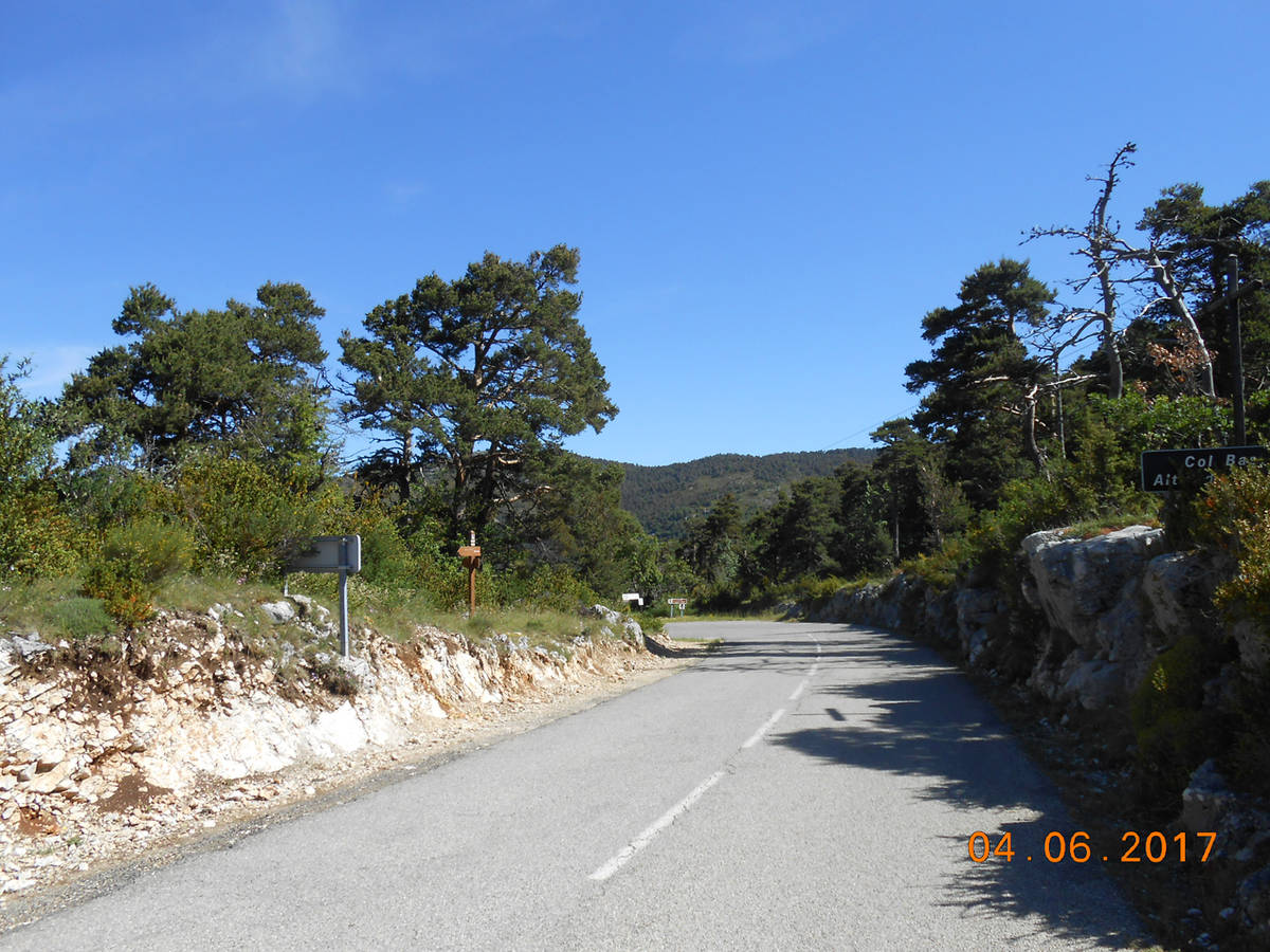
This col is more of a liaison than a specific target ride. Short with steep sections as it passes through the hill-side forest. After arriving at Caille continue towards the route Napoleon (direction Grasse) and turn left towards Audibergue going up the Col de Cornille.
 Ascents reserved for cyclists