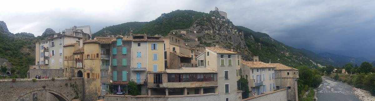
Information
| Name : | Villevieille |
| Altitude : | 1036 m |
| Start : | Entrevaux |
| Length : | 8.75 km |
| Elevation gain : | 548 m |
| % Avg : | 6.26% |
| % Max : | 11.0% |
| Mountain range : | Castellane Prealps, France |
Map
Programming LIGNEY SS2I - Webdesign Véronique Vilmant. Others websites : water for cycling, map of french passes
 Ascents reserved for cyclists