Information
There's other climb of this summit
Map
Profile
Login or Create your account
00:00:00 • Will W • Comment posted on 26/03/2016
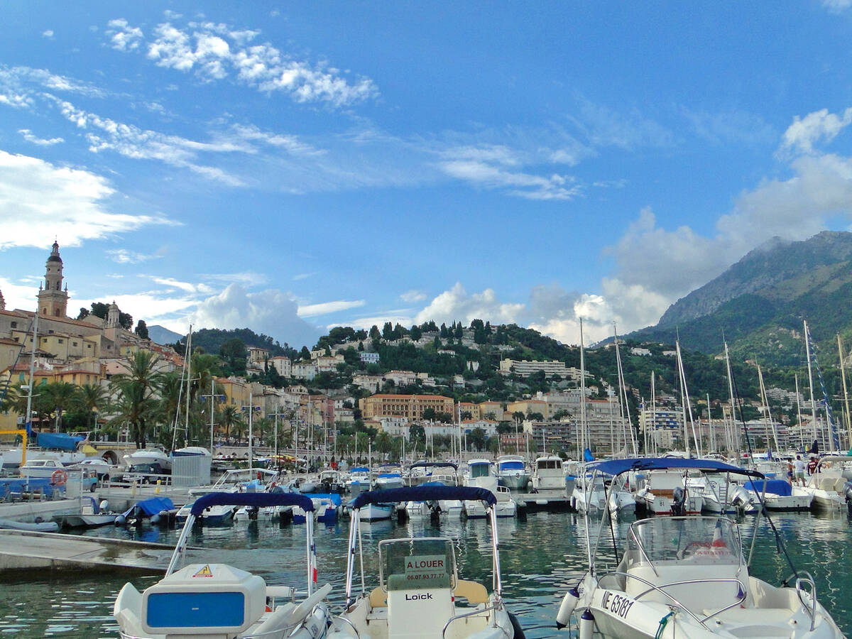
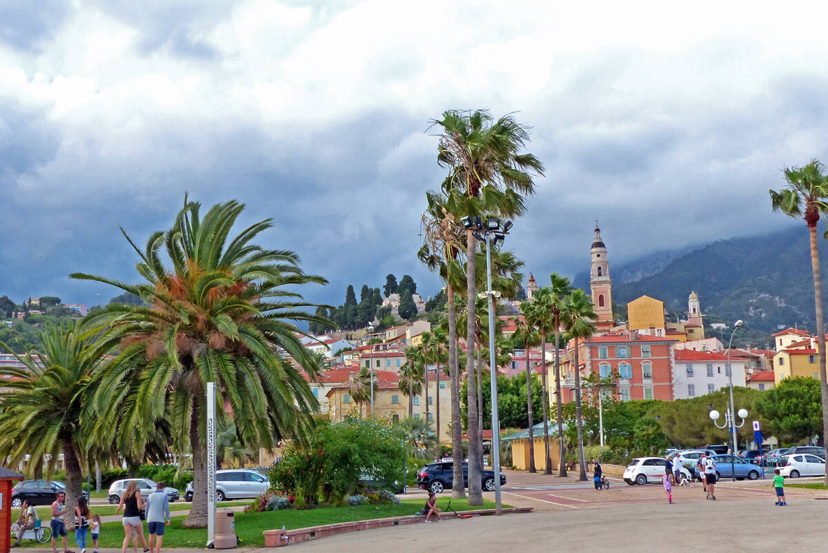
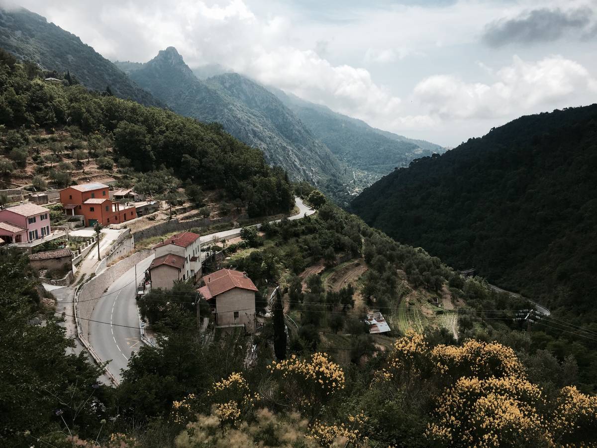
Nice climb, not too testy once you get out of Menton
Choose a picture :
Message :
Climbing time :

 Ascents reserved for cyclists