Information
Map
Profile
Login or Create your account
02:15:00 • Robert P • Comment posted on 01/06/2016
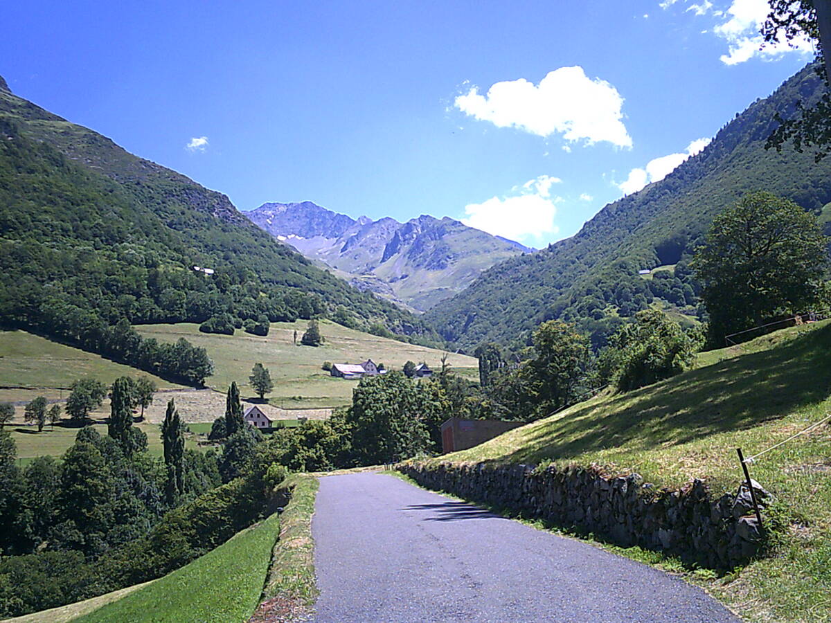
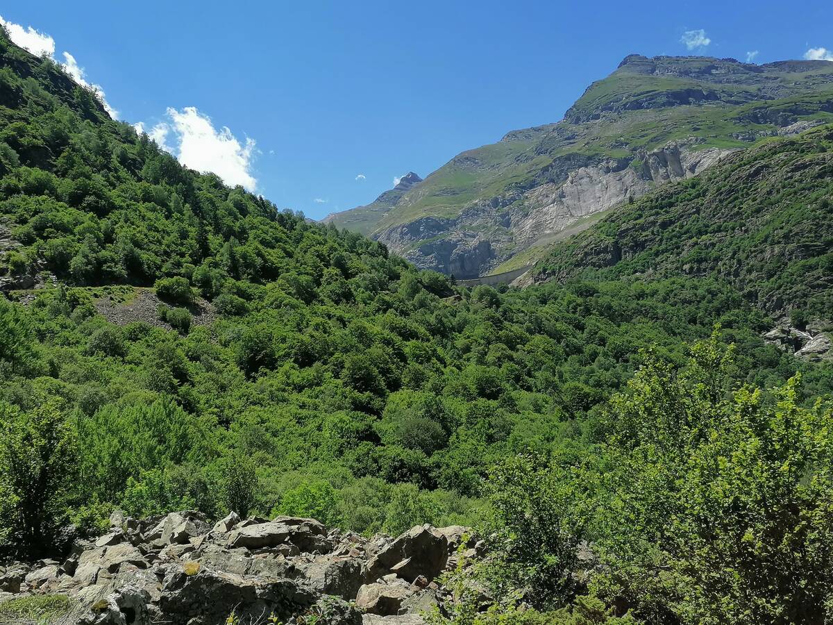
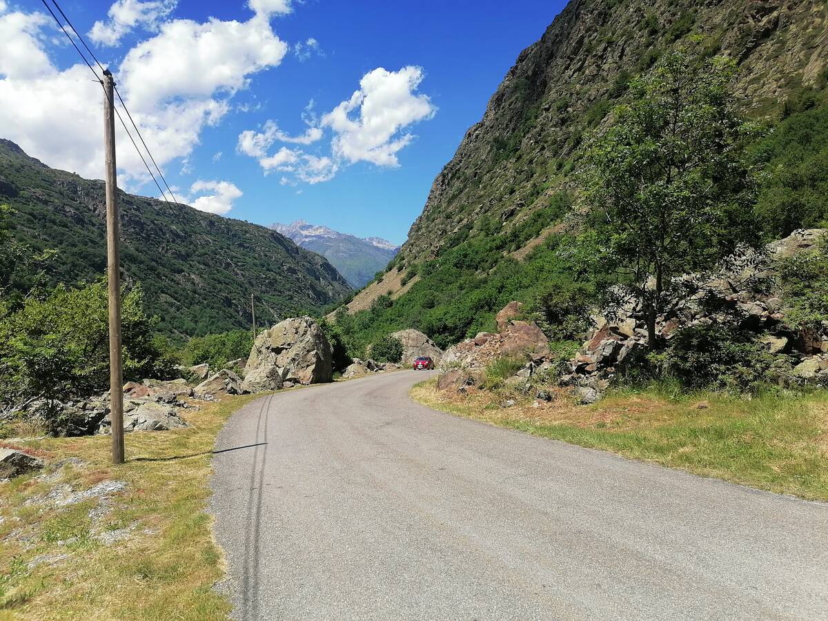
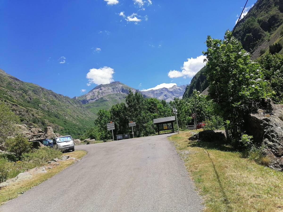
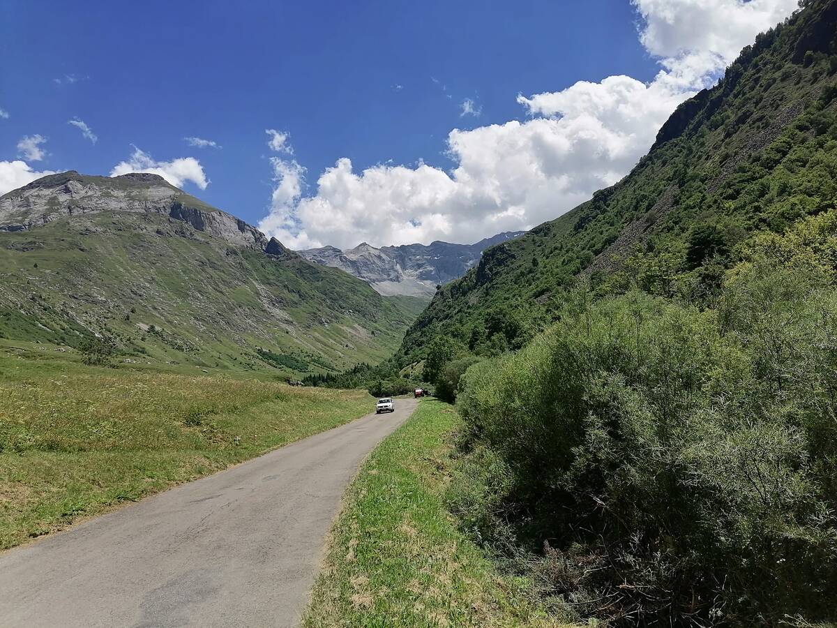
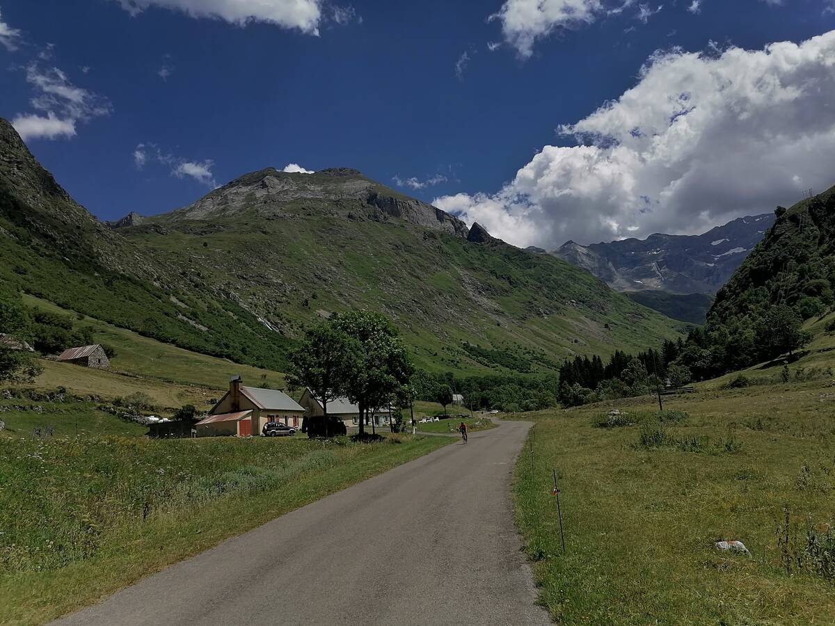
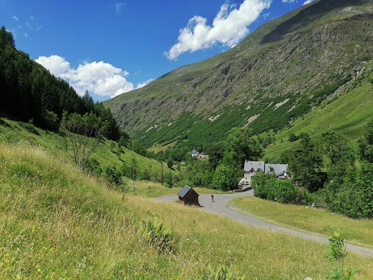
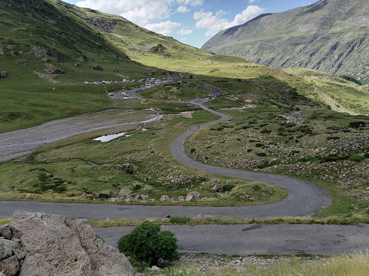
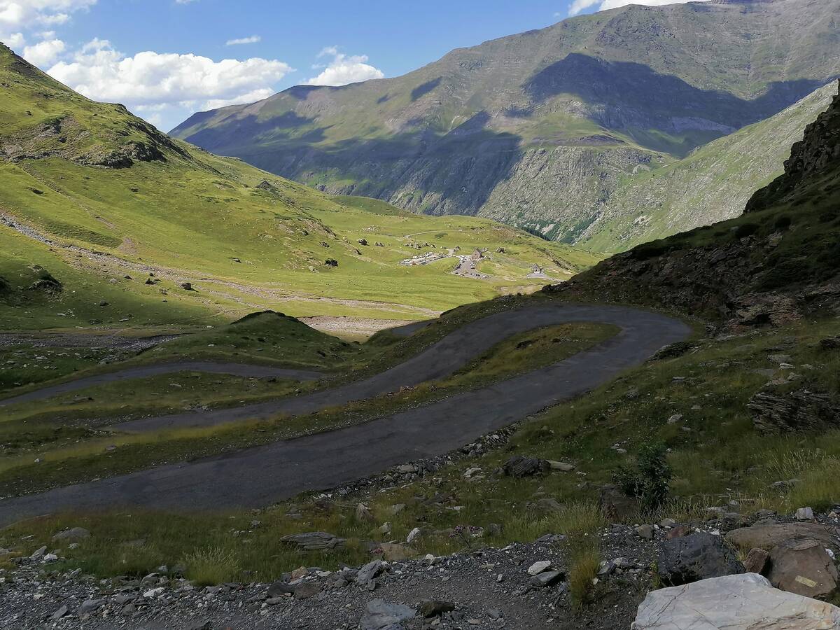
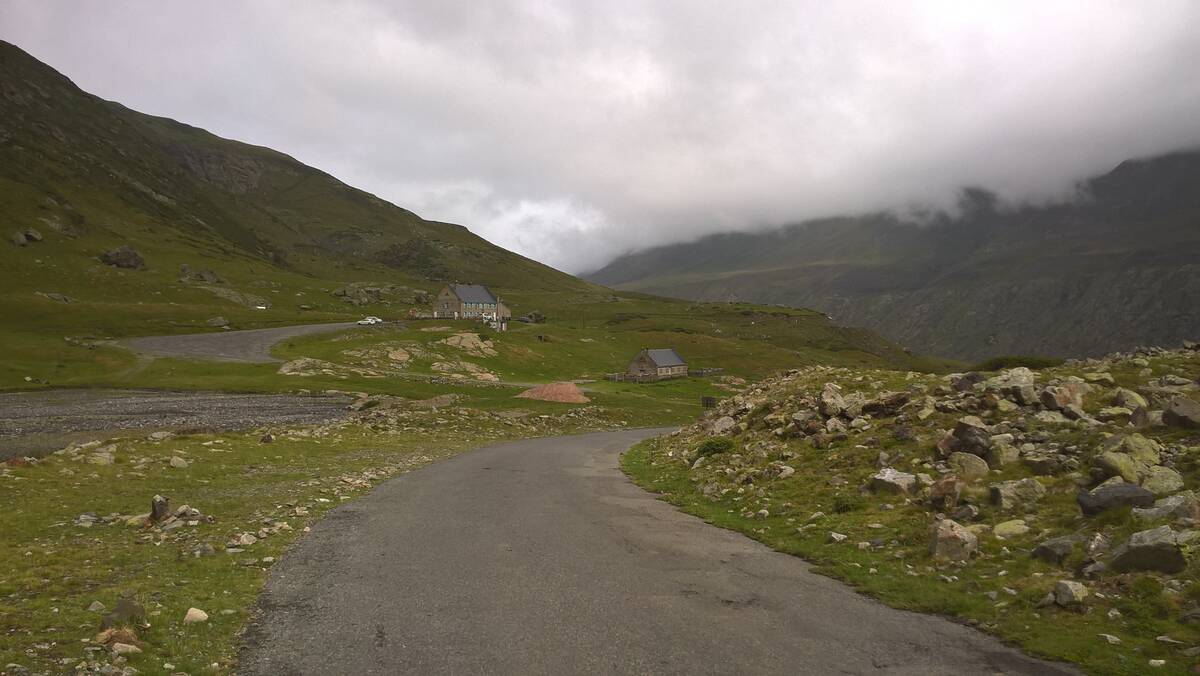
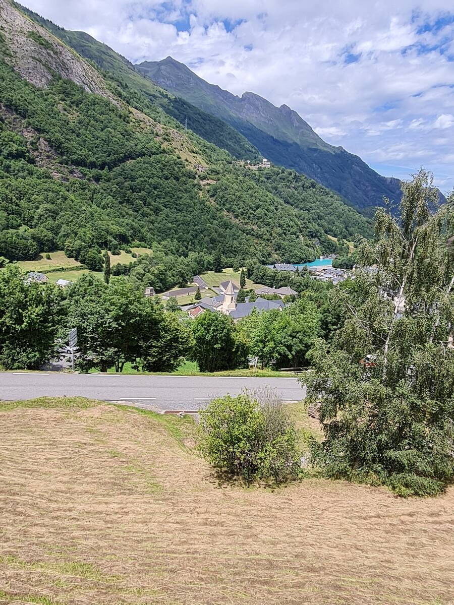
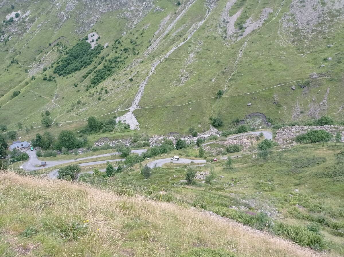
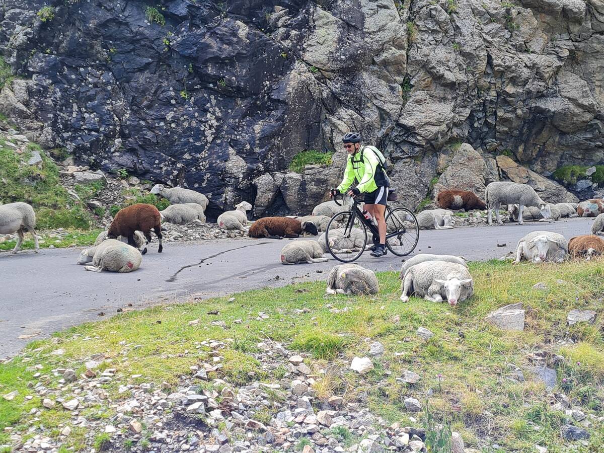
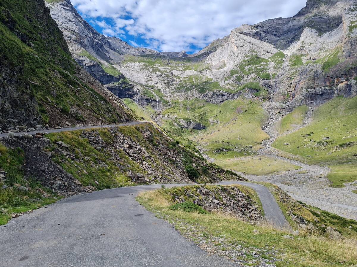
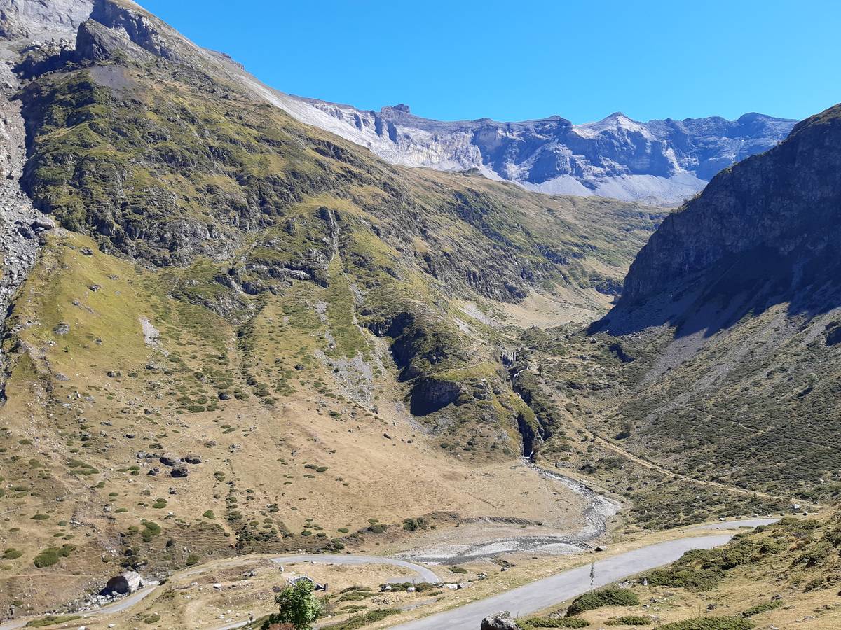
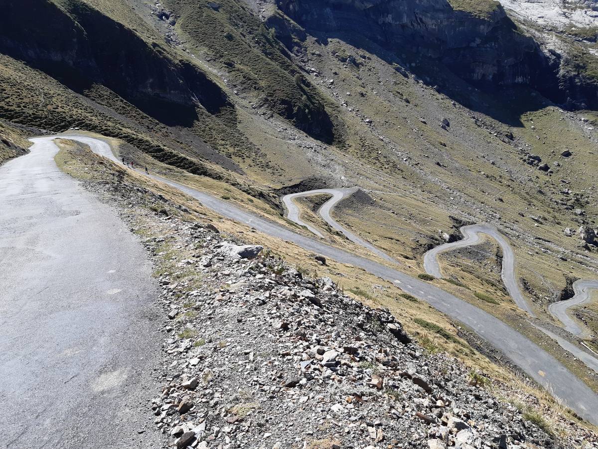
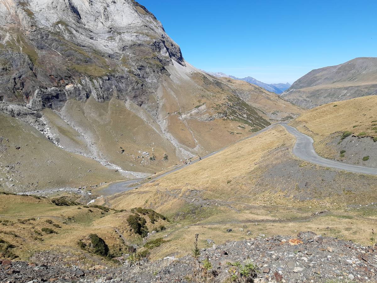
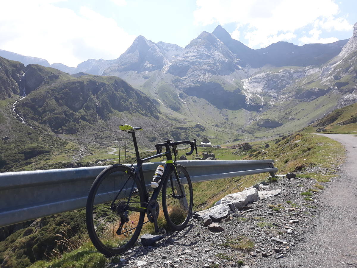
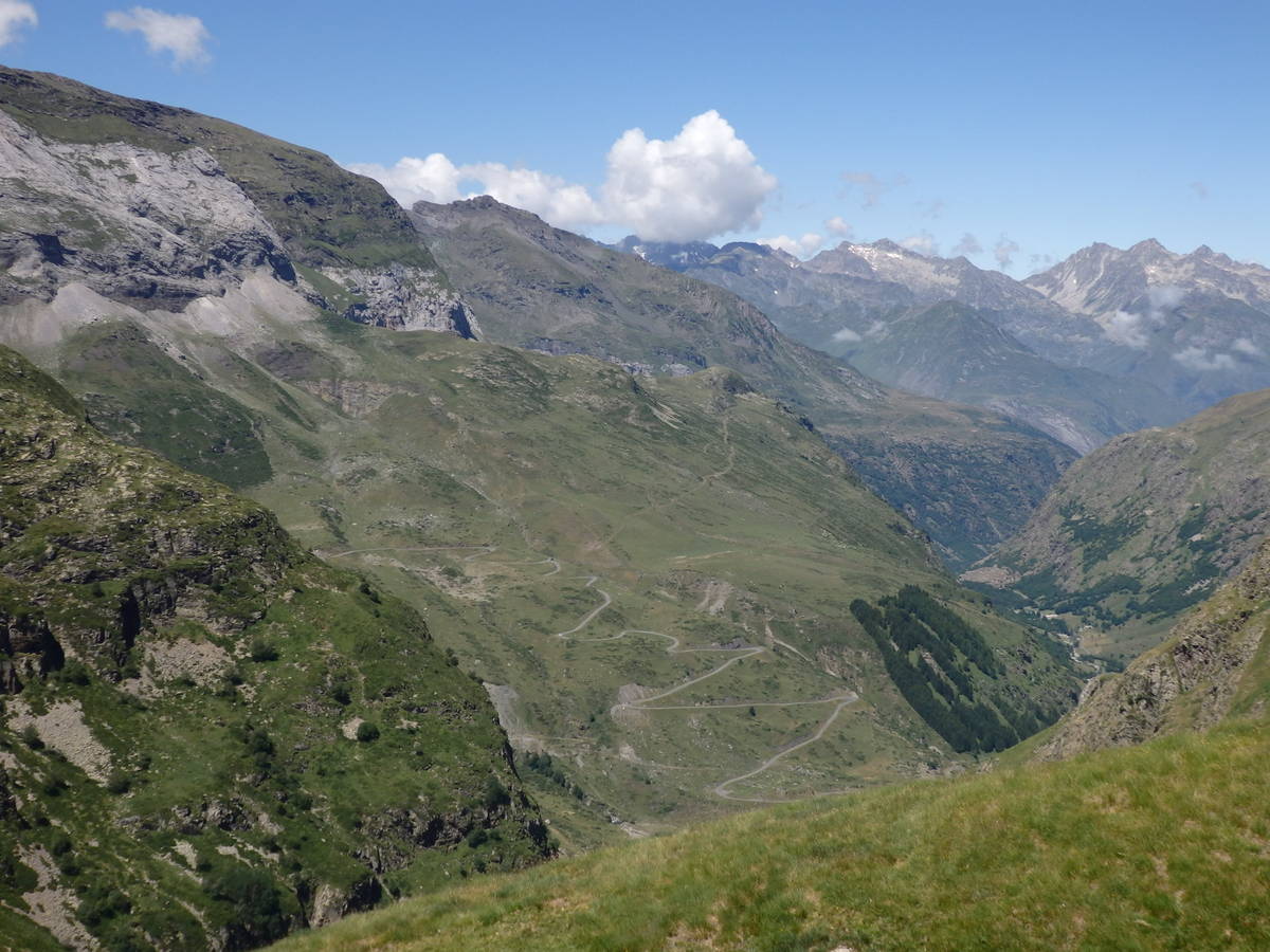
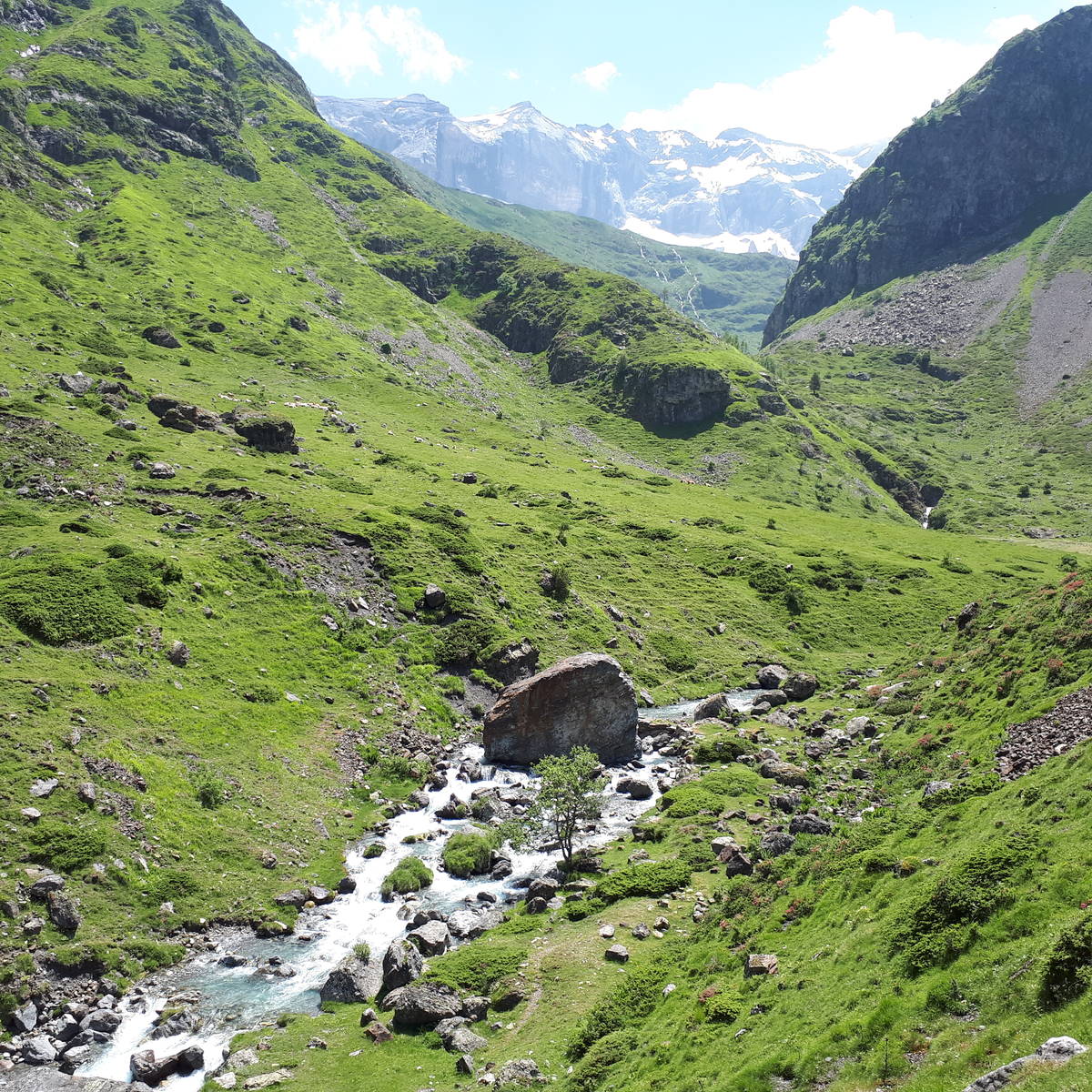
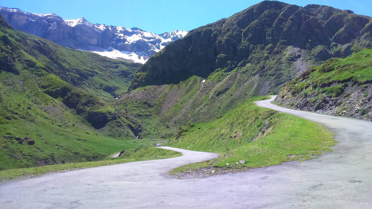
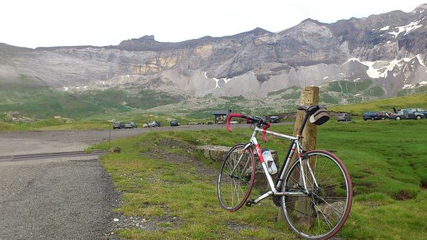
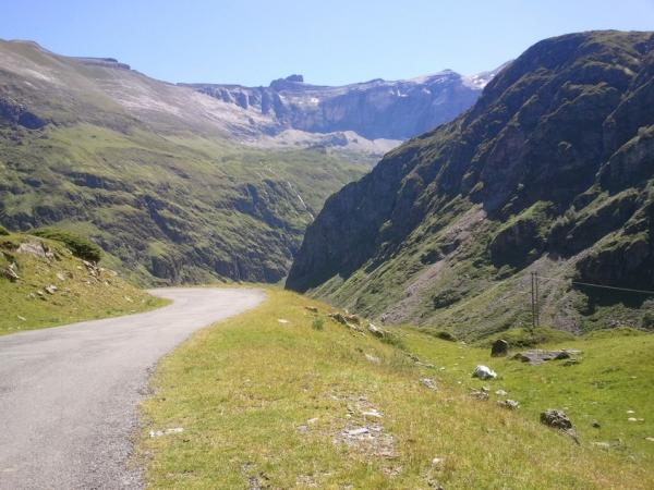
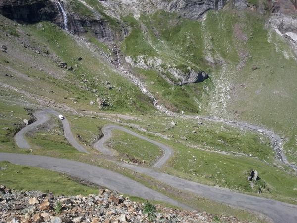
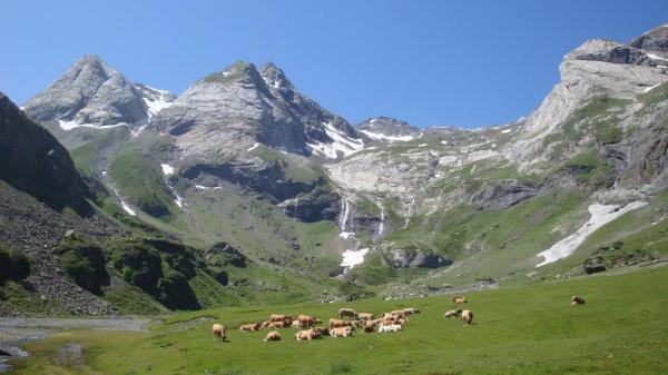
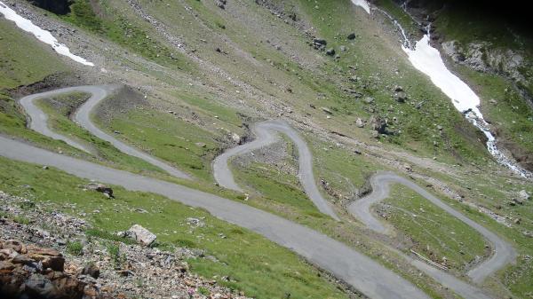
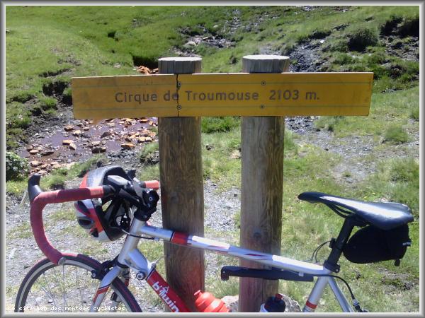
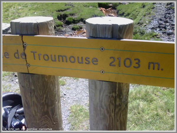
31/05/16 Very quiet road from Gèdre, don't be fooled by the large carpark there's a further 3km and 250m.
Choose a picture :
Message :
Climbing time :

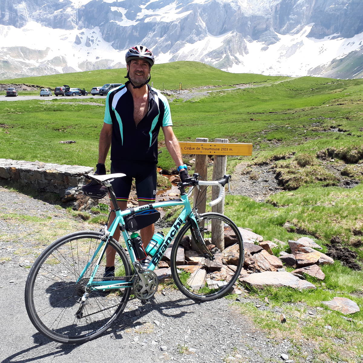
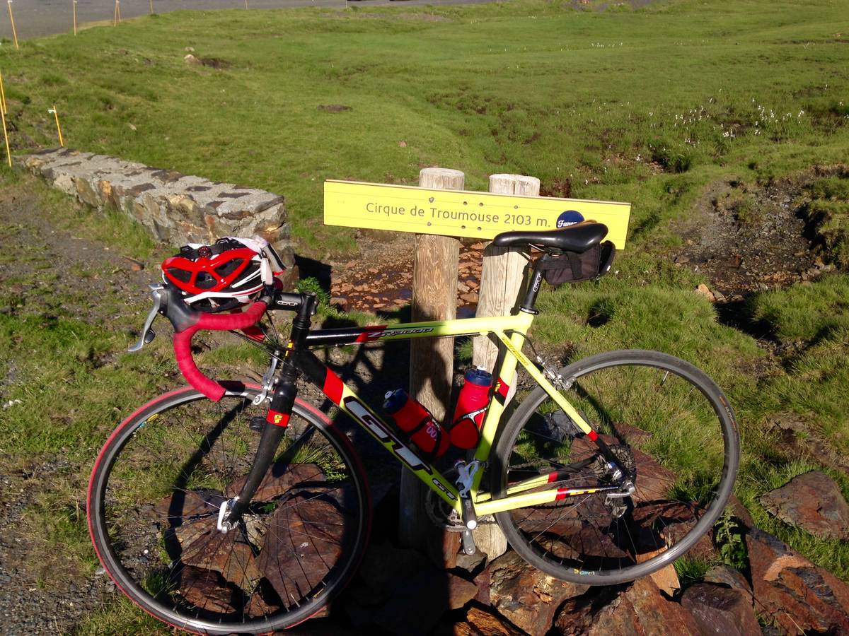
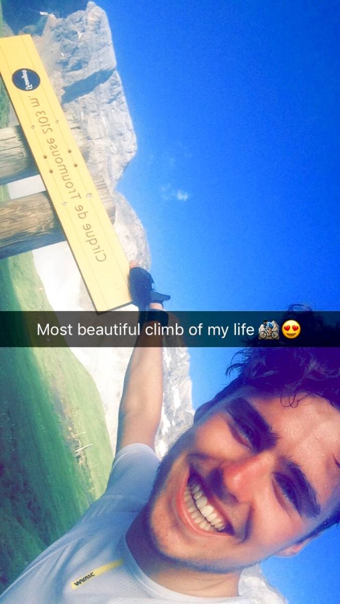
 Ascents reserved for cyclists