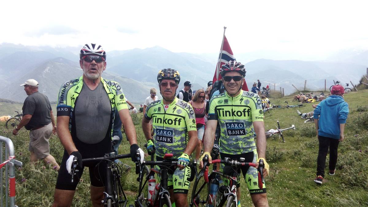
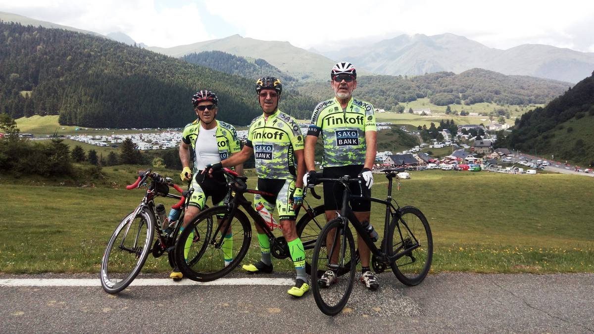
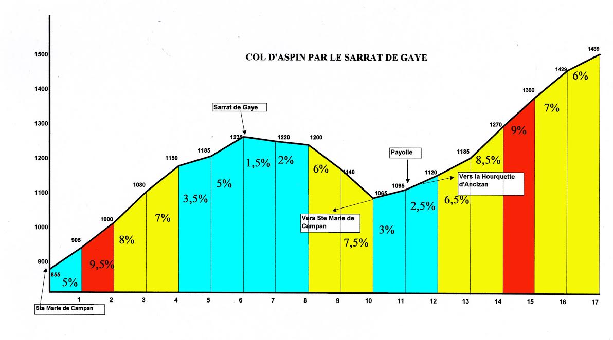
Information
| Name : | Col d'Aspin |
| Altitude : | 1489 m |
| Start : | Sainte Marie de Campan (via le Sarrat de Gaye) |
| Length : | 17.00 km |
| Elevation gain : | 804 m |
| % Avg : | 4.73% |
| % Max : | 10.0% |
| Mountain range : | Central pyrenees, France |
There's other climb of this summit
Map
Profile
 This climb is reserved for cyclists on 14/07/2026 : This climb is reserved for cyclists on 22/07/2025 : This climb is reserved for cyclists on 16/07/2024 : This climb is reserved for cyclists on 11/07/2023 : This climb is reserved for cyclists on 23/07/2019 :