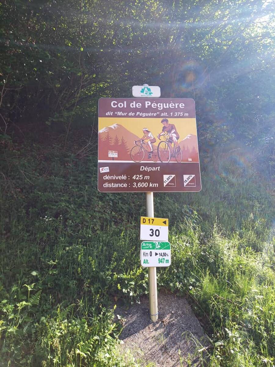
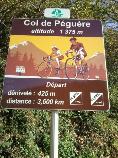
Information
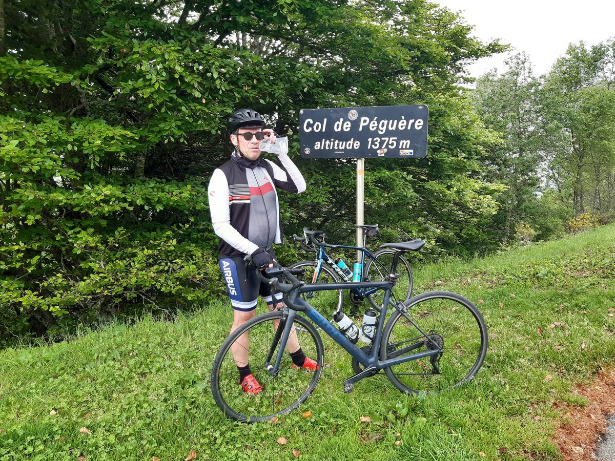
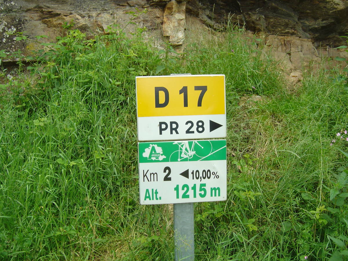
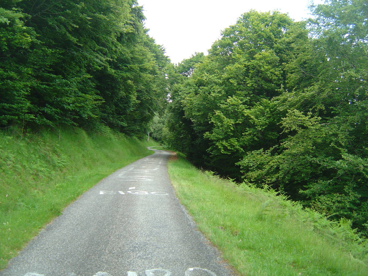
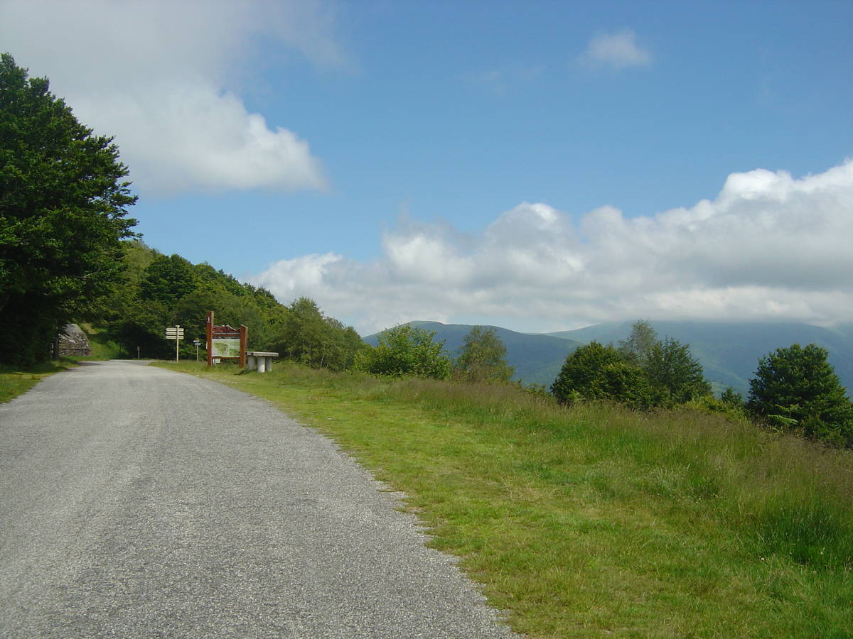
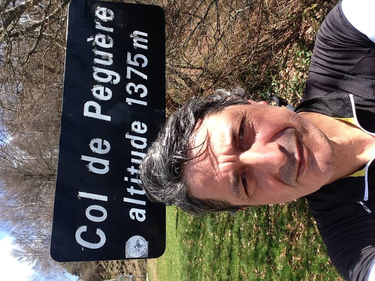
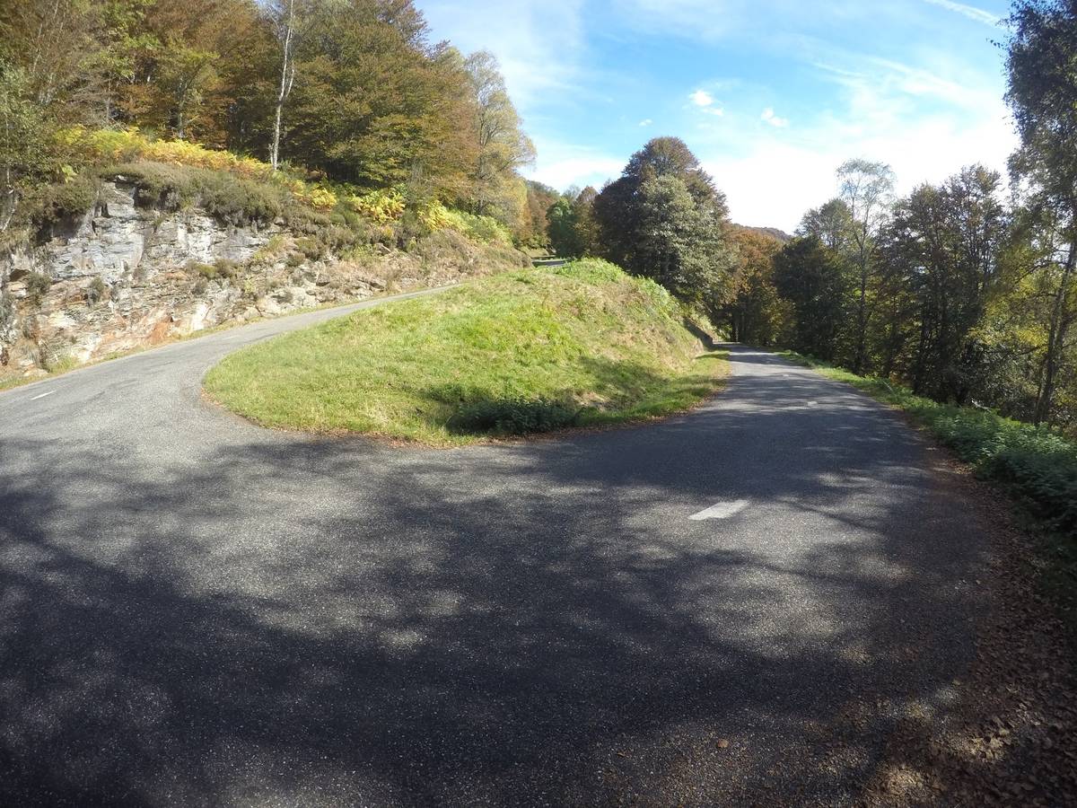
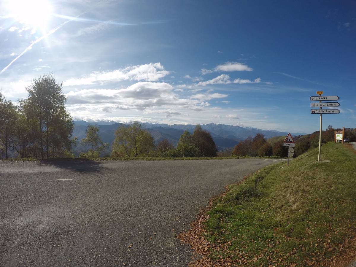
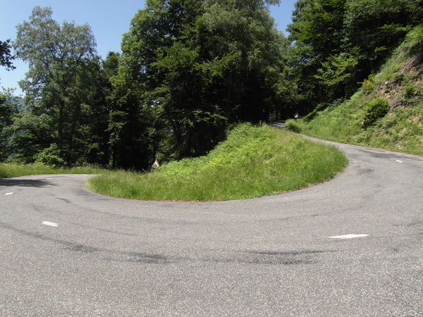
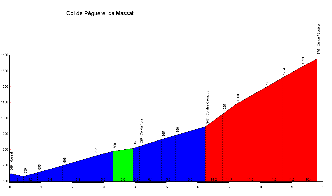
| Name : | Col de Péguère |
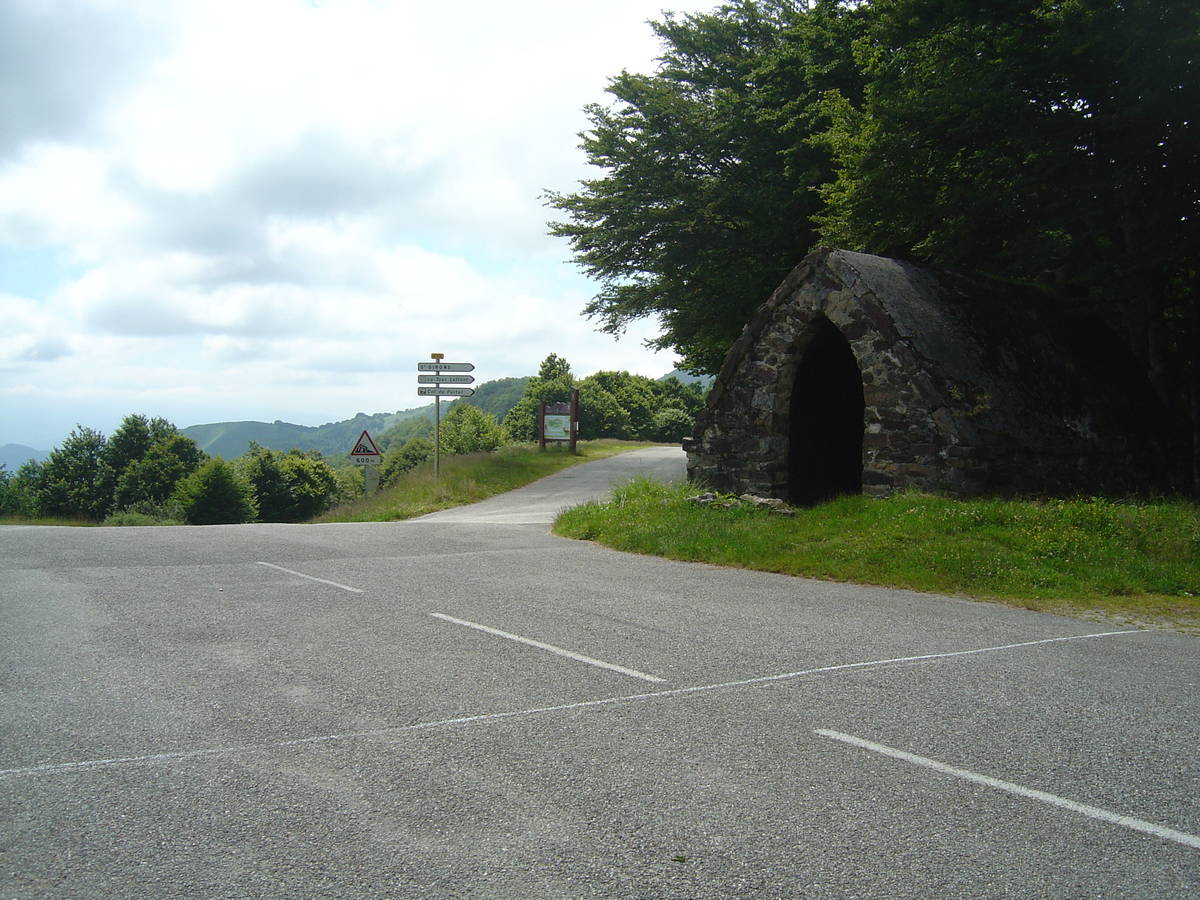
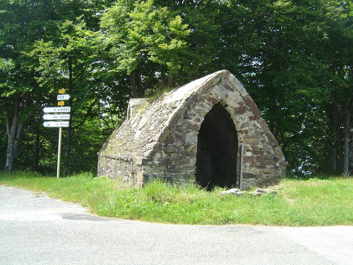
| Altitude : | 1375 m |
| Opening : |  Ouvert Ouvert |
| Start : | Massat |
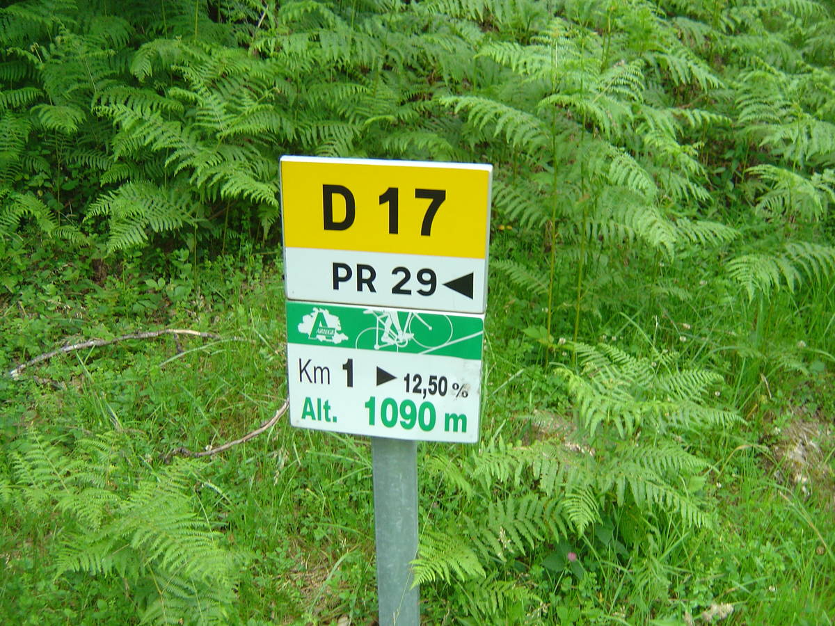
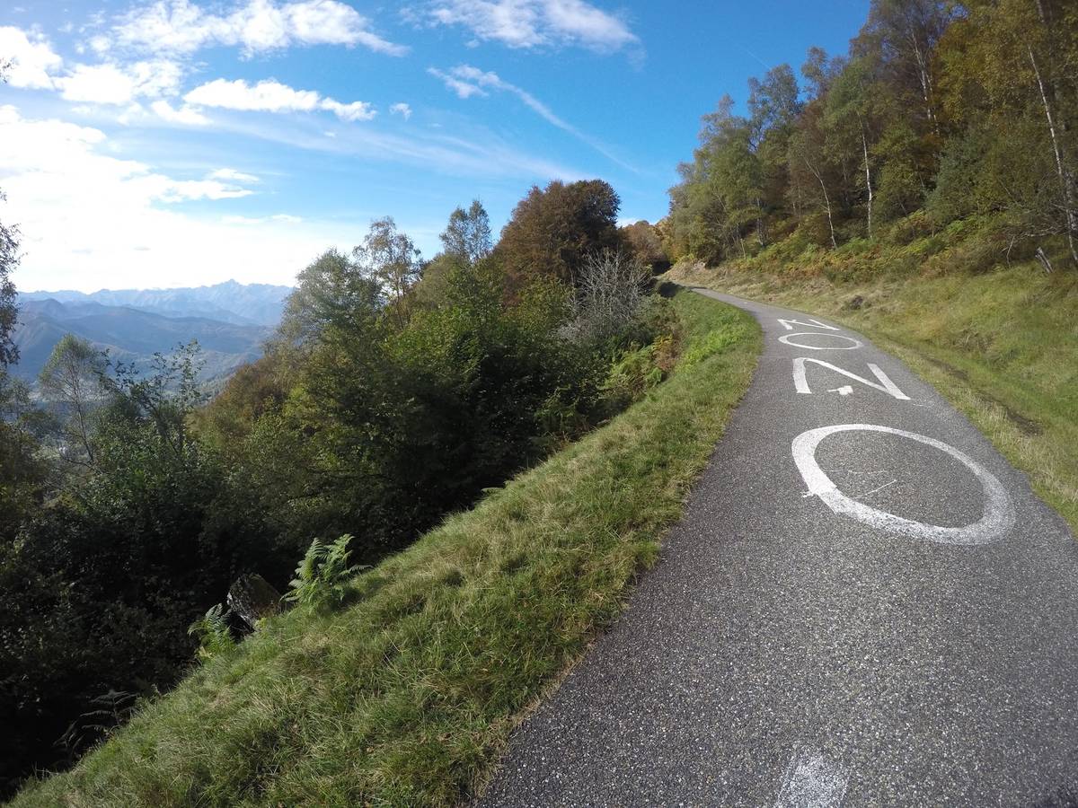
| Length : | 9.80 km |
| Elevation gain : | 726 m |
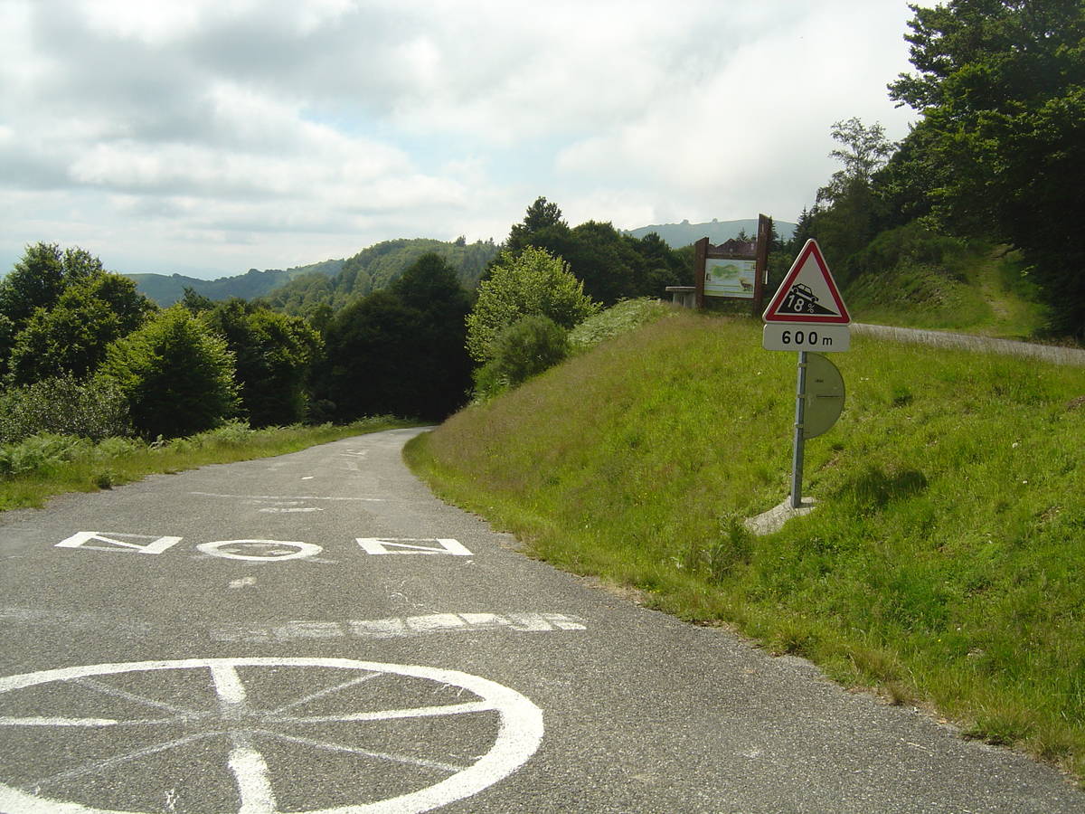
| % Avg : | 7.41% |
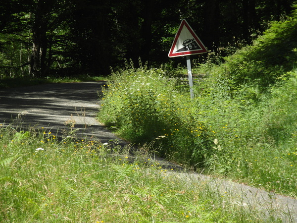
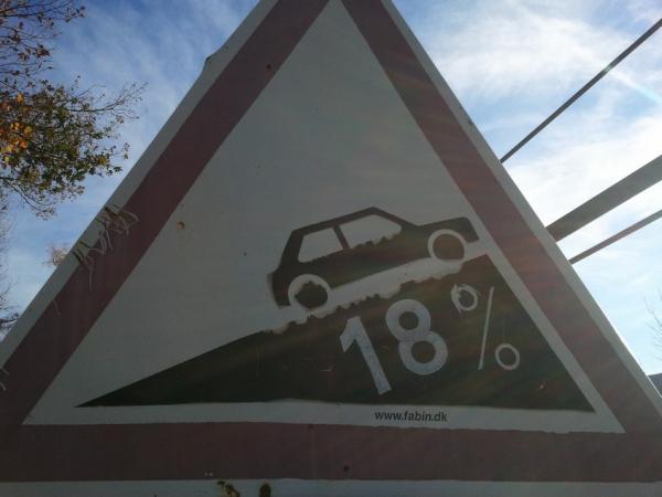
| % Max : | 14.7% |
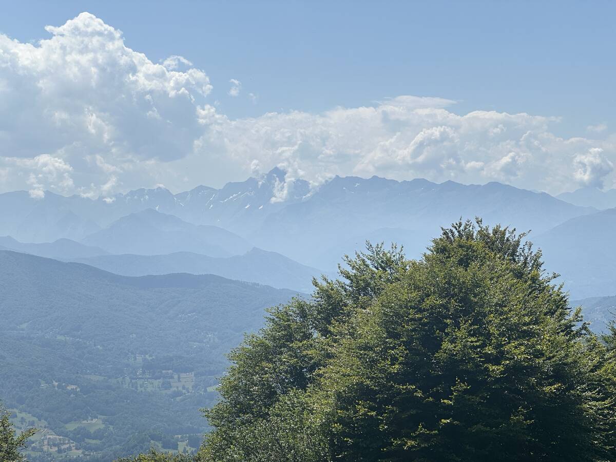
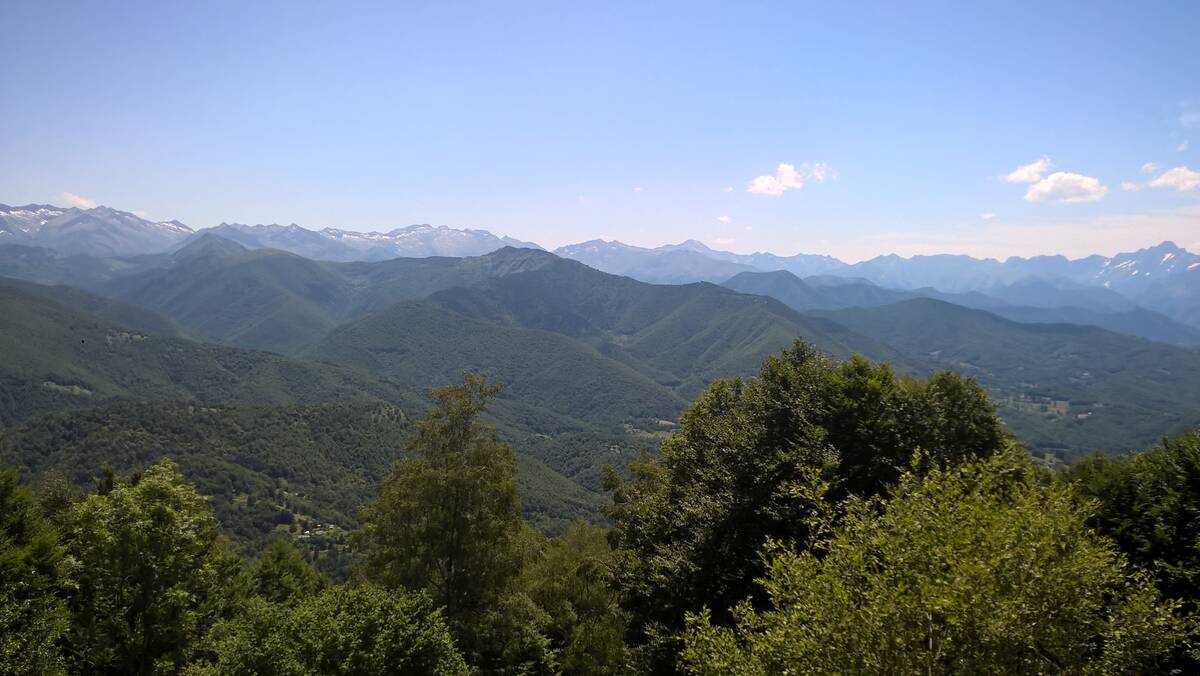
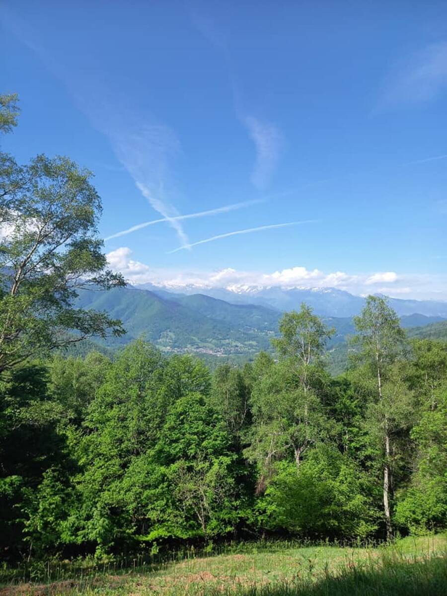
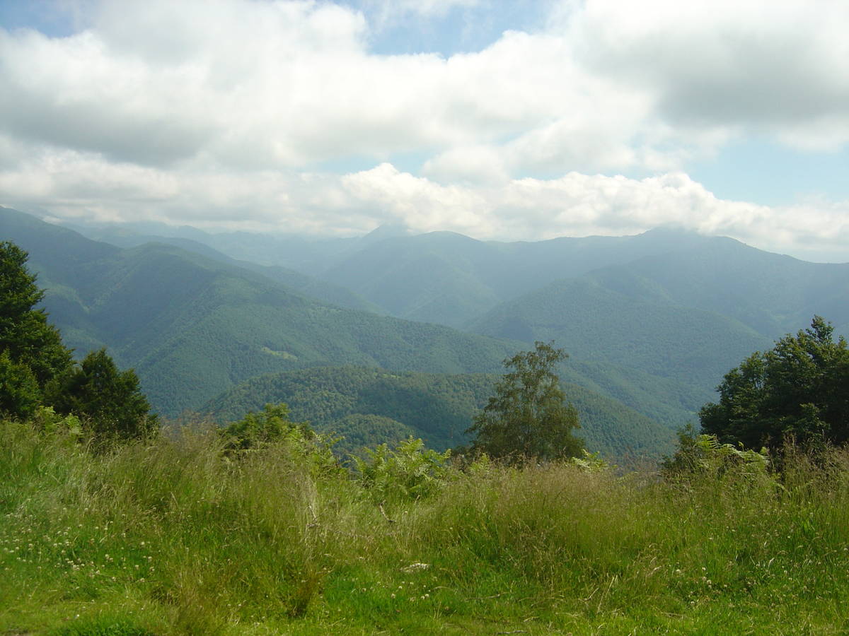
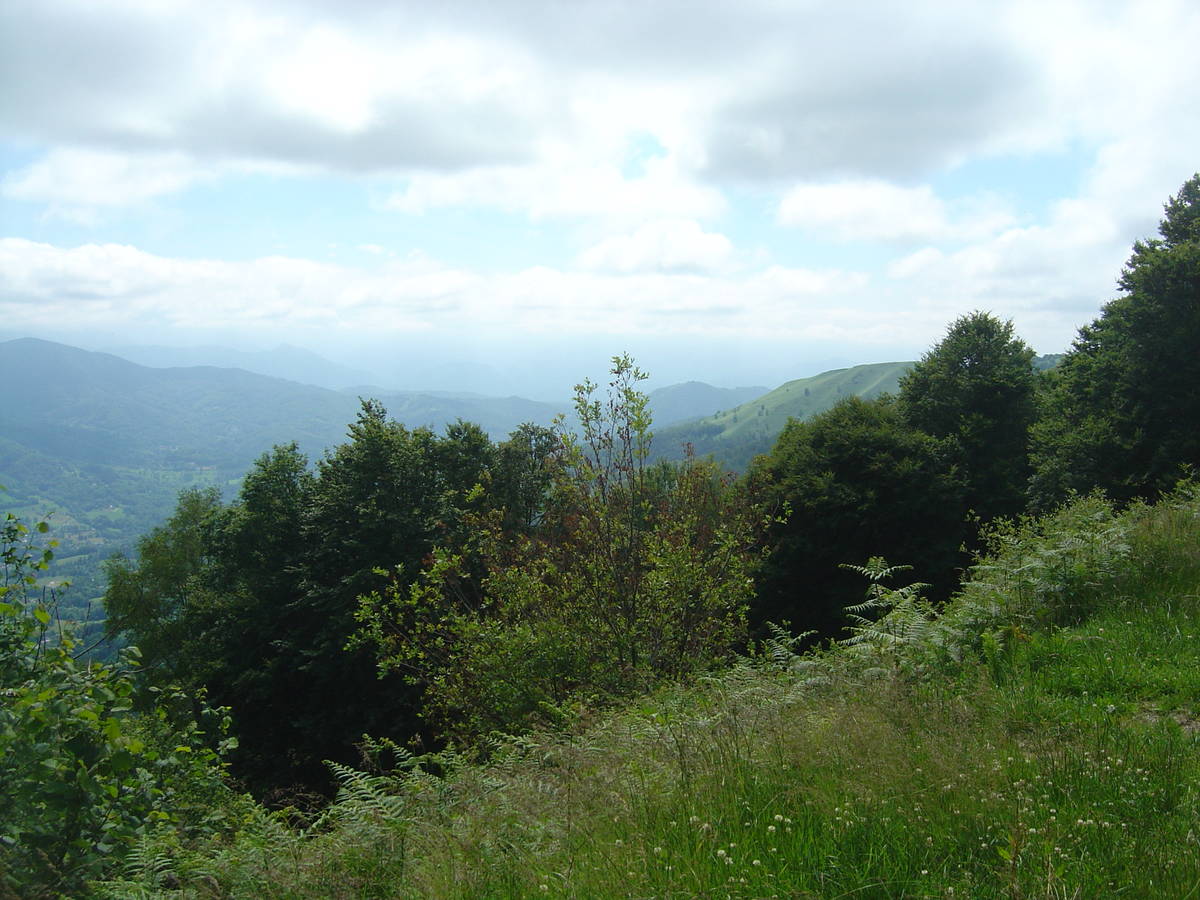
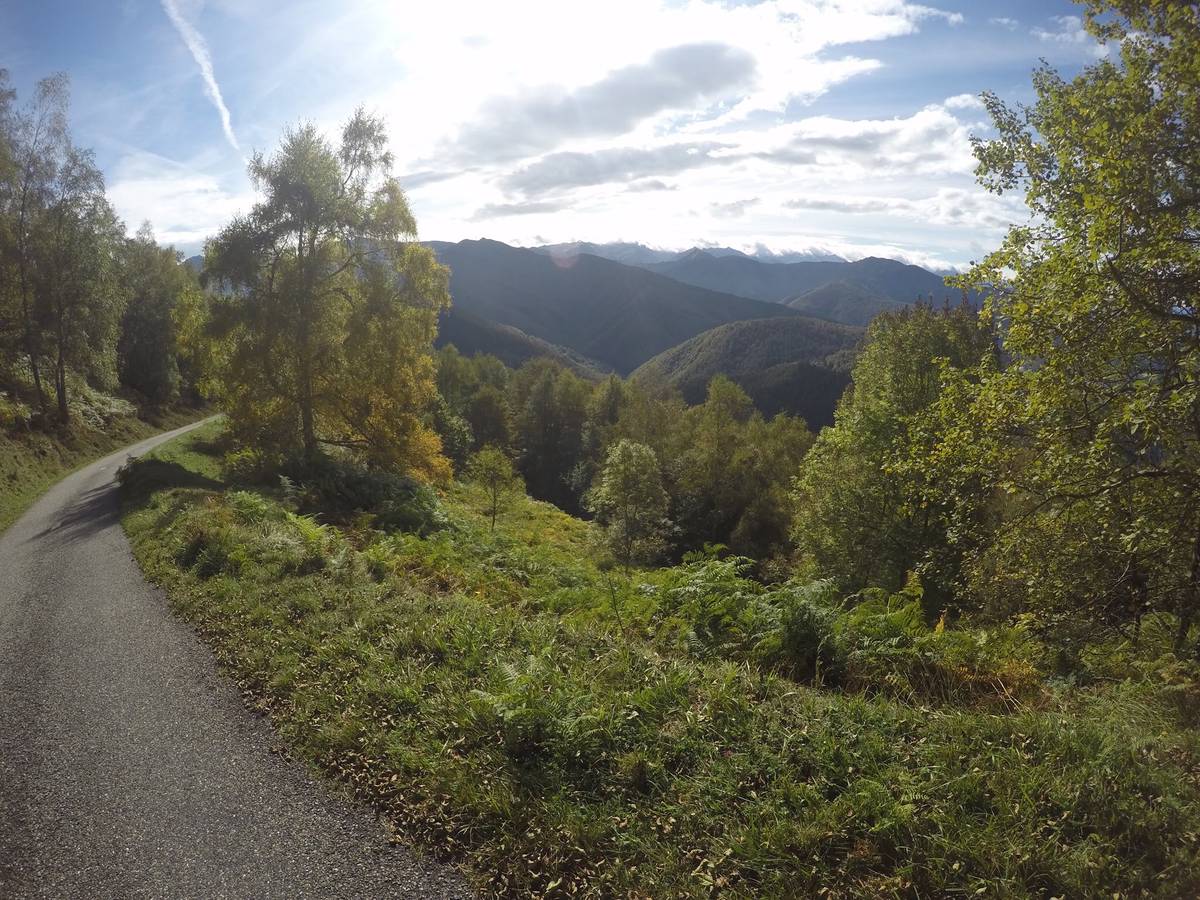
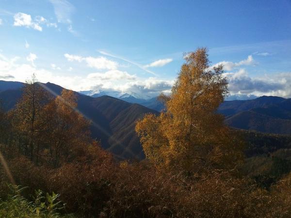
| Mountain range : | Central pyrenees, France |
There's other climb of this summit
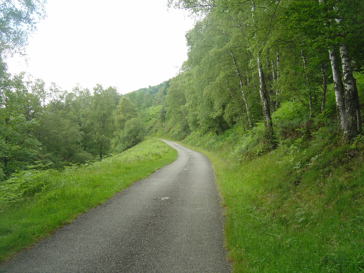
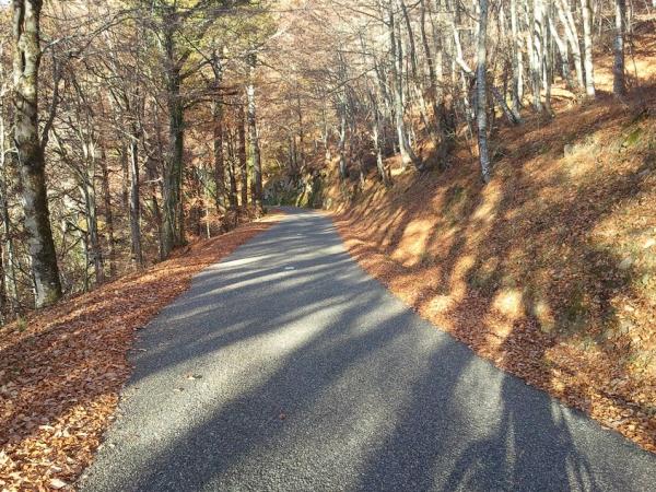
Map
Profile
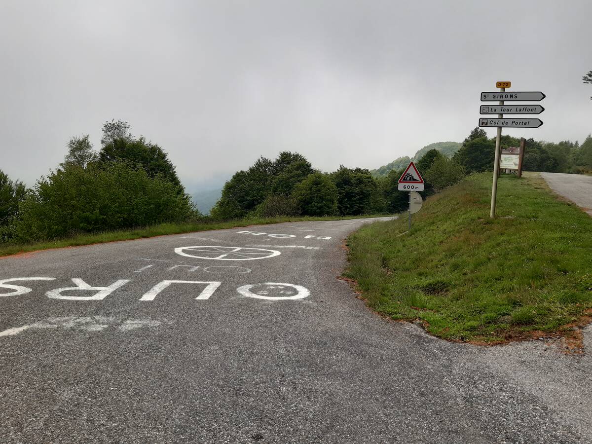
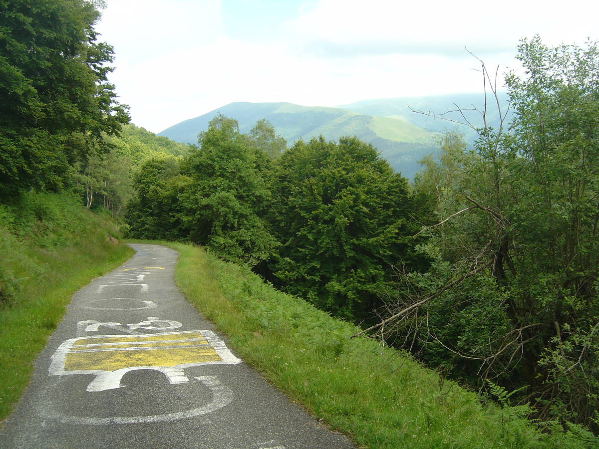
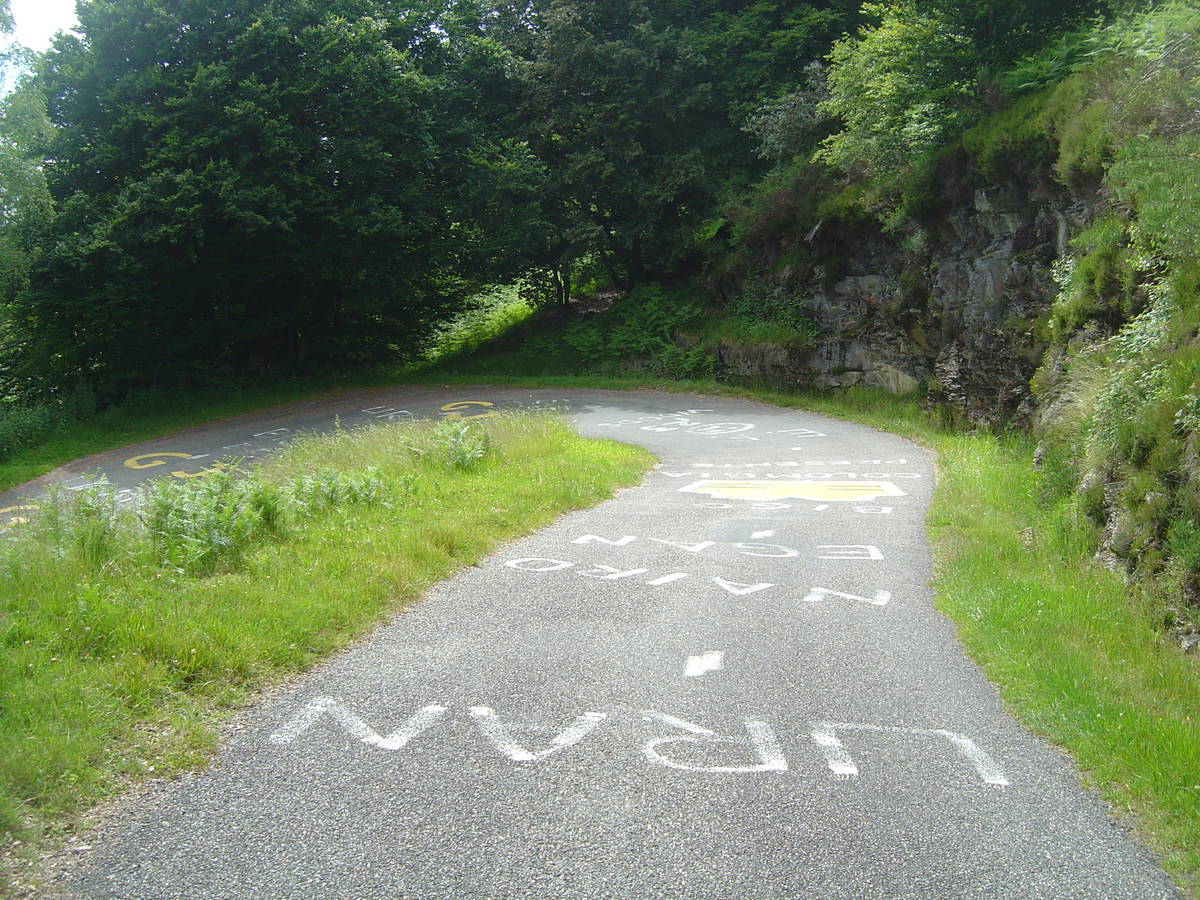
 Ascents reserved for cyclists