Search
MEMBERS AREA
HOME
CLIMBS
RESERVED FOR CYCLISTS
NEAR
OPENING
FORUM
CONTACT
F.A.Q.
MEMBERS AREA
FRANÇAIS
ENGLISH
NETHERLANDS
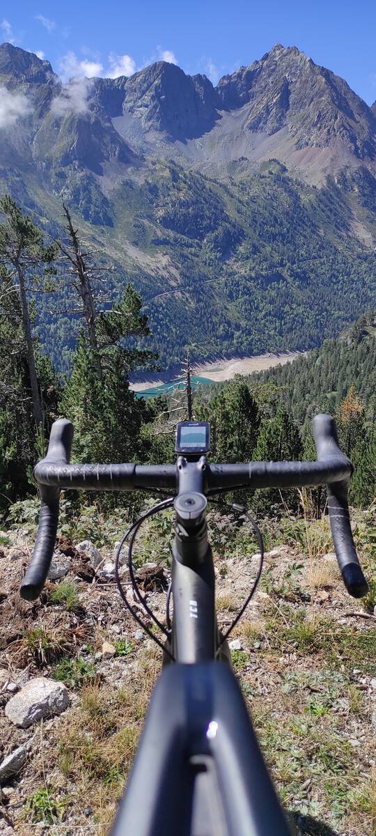
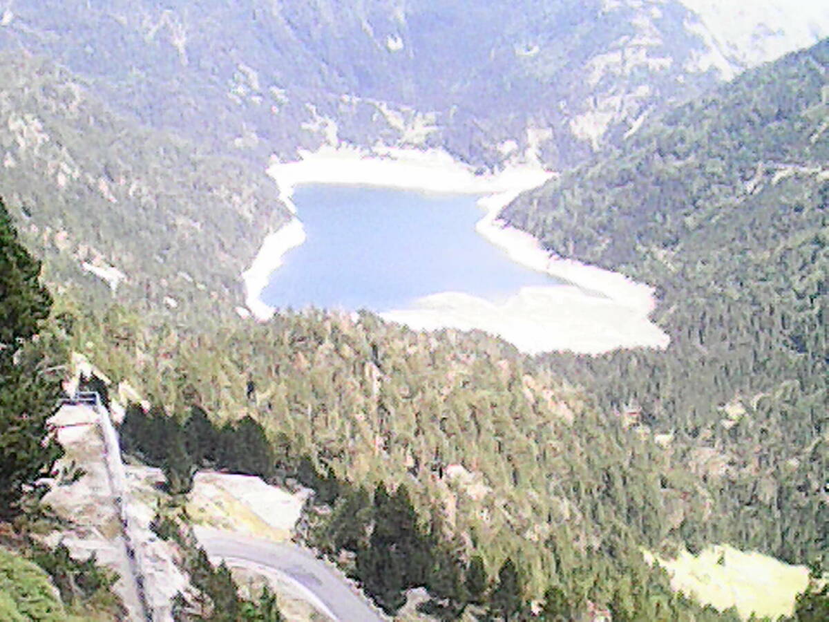
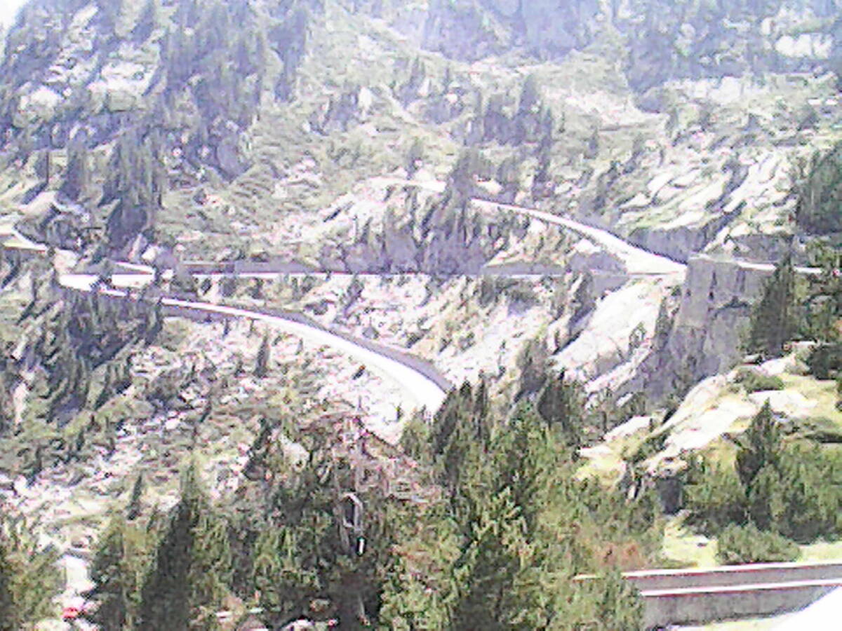
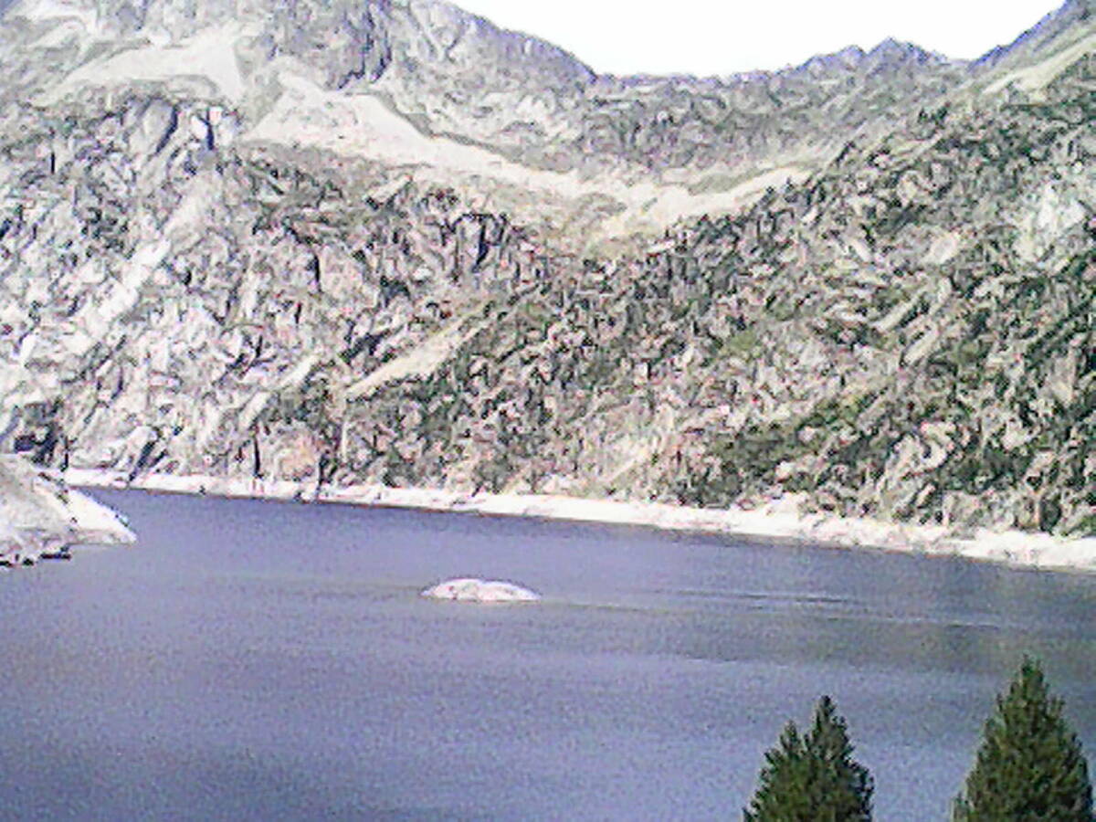
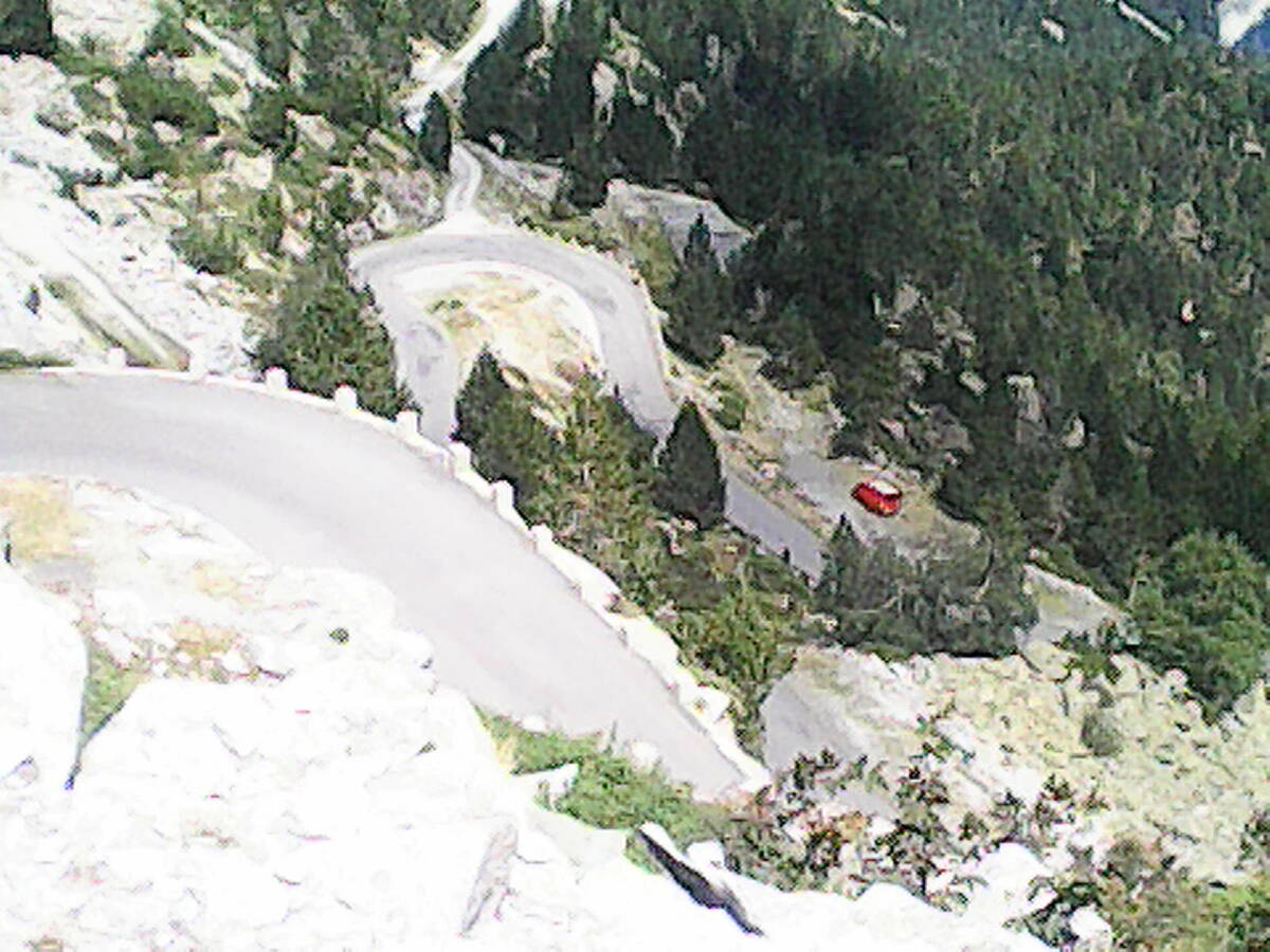
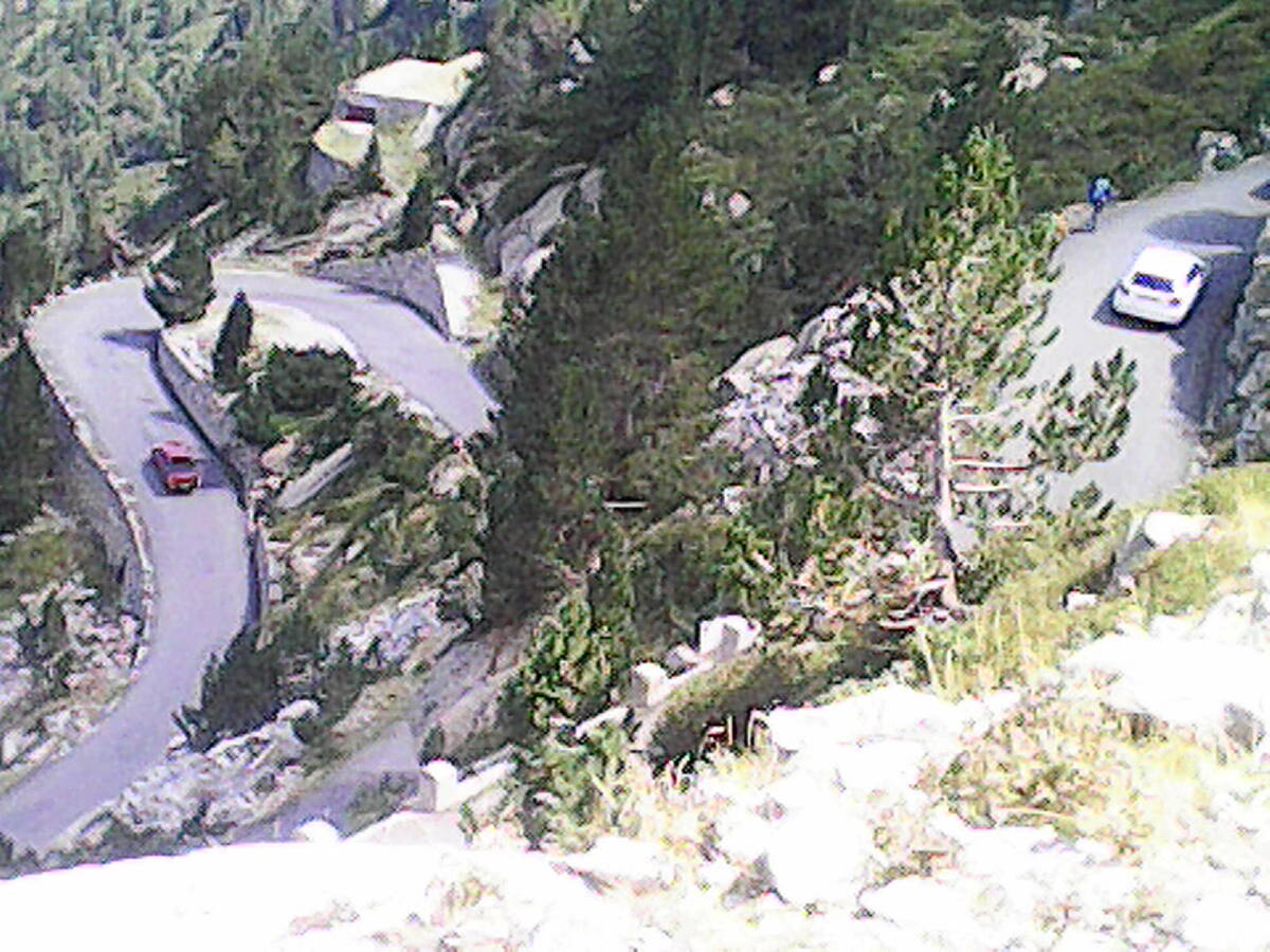
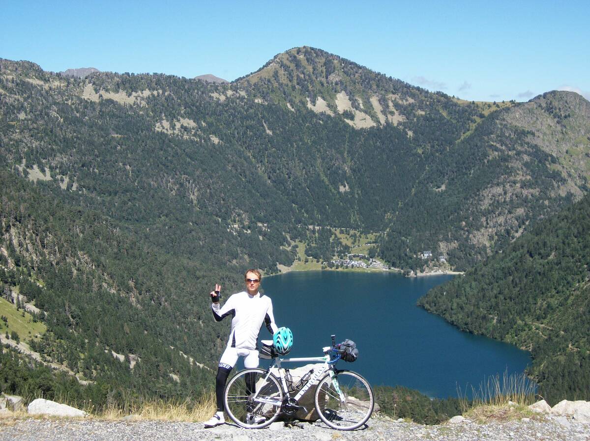
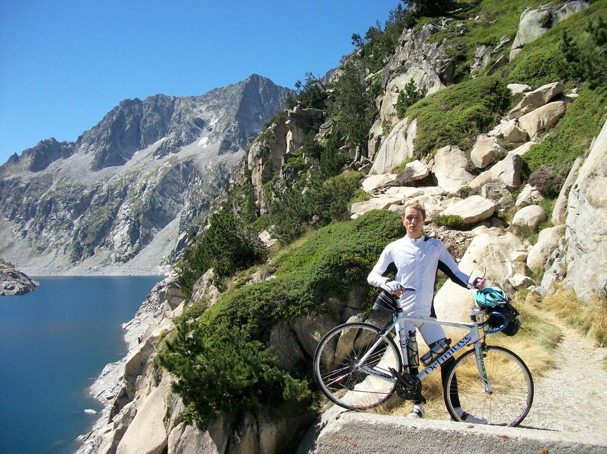
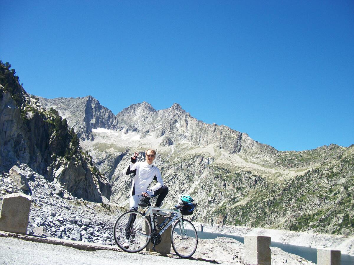
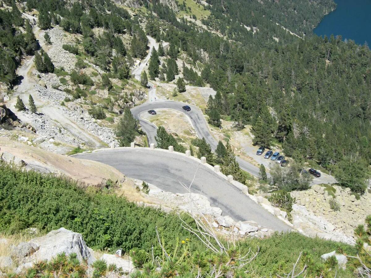
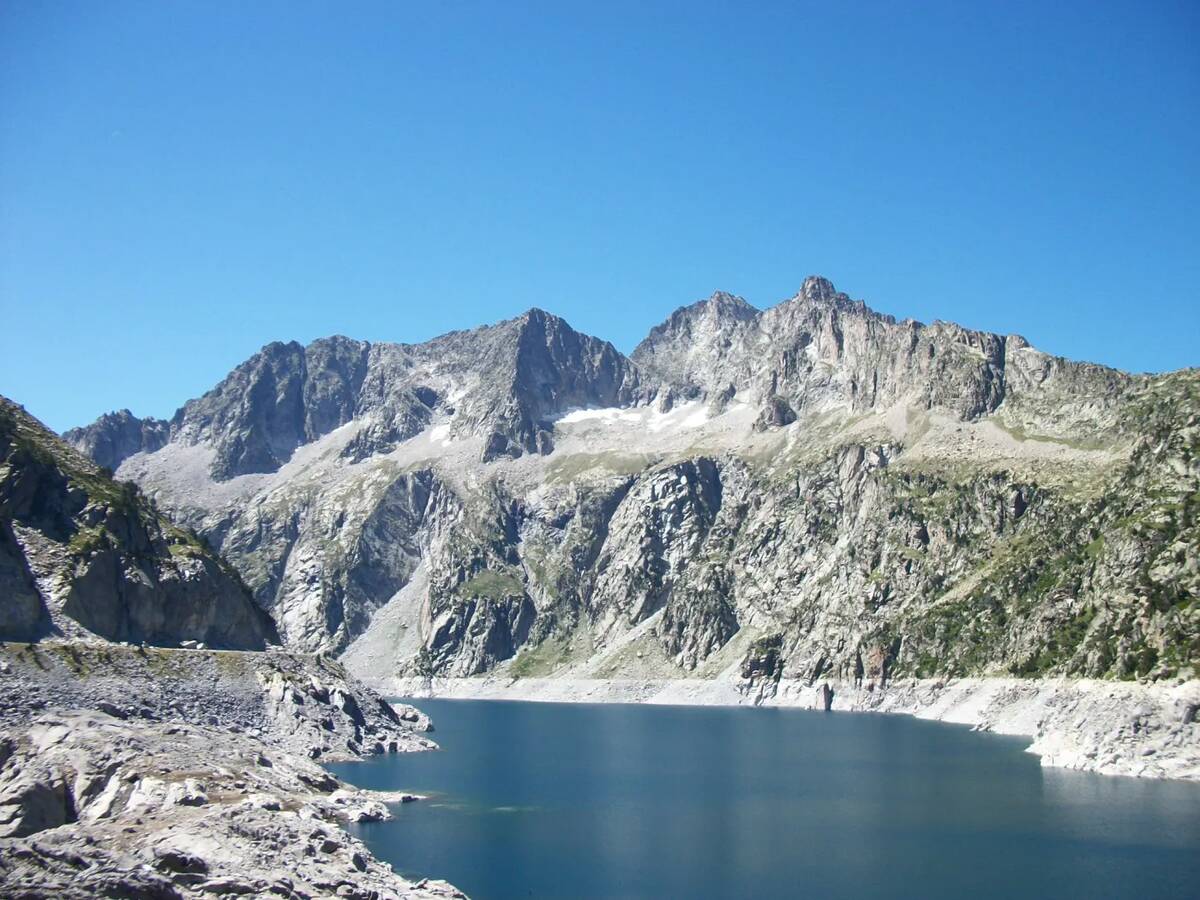
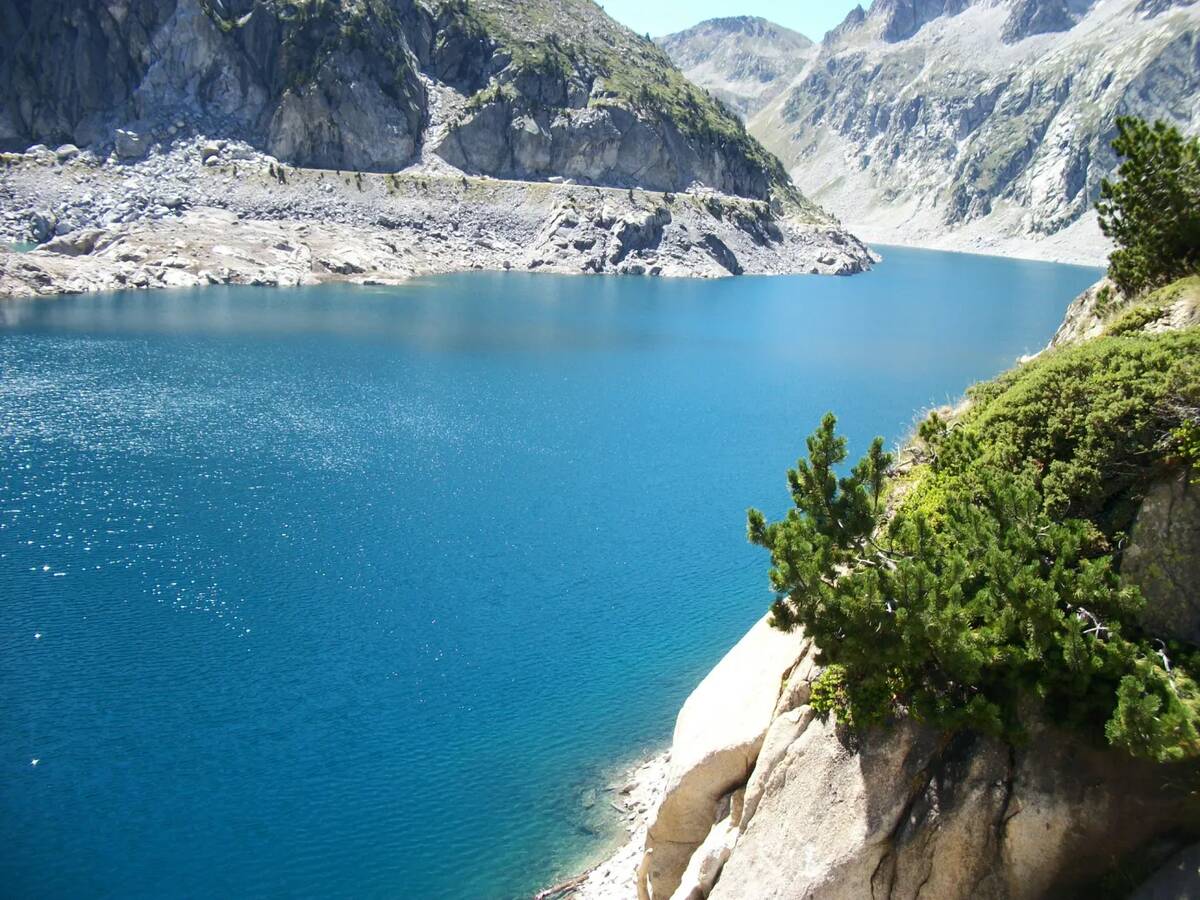
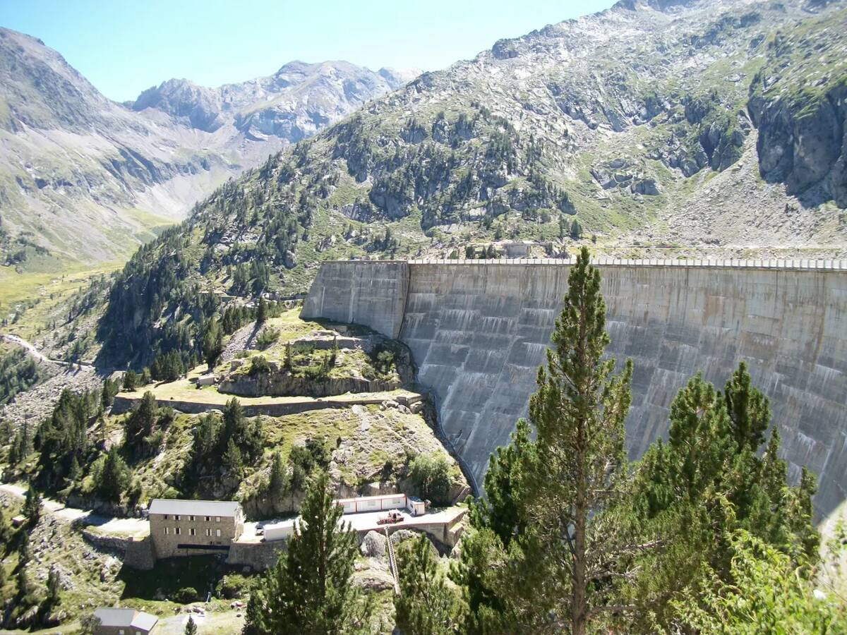
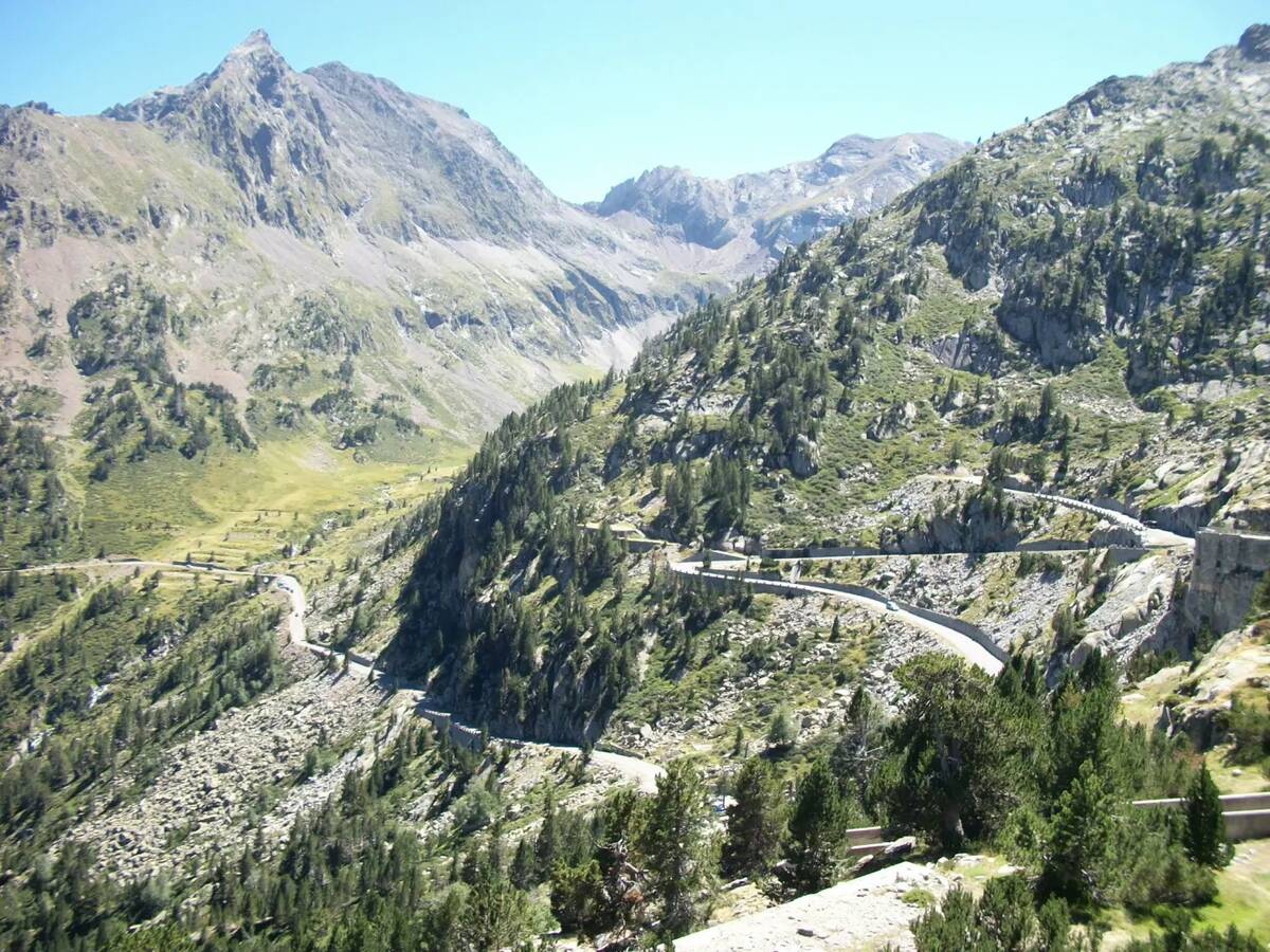
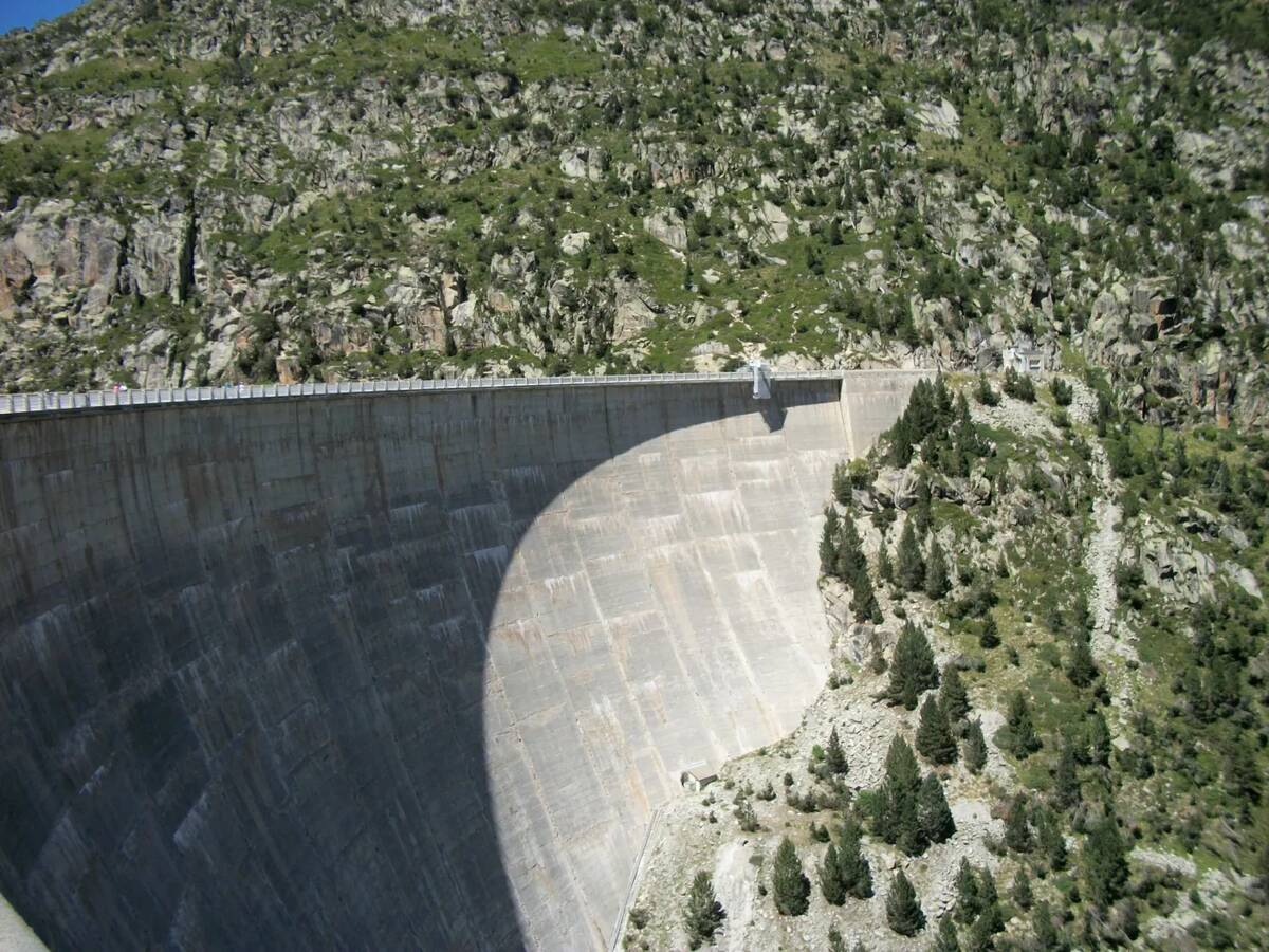
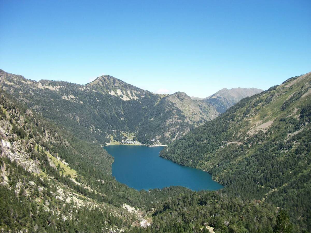
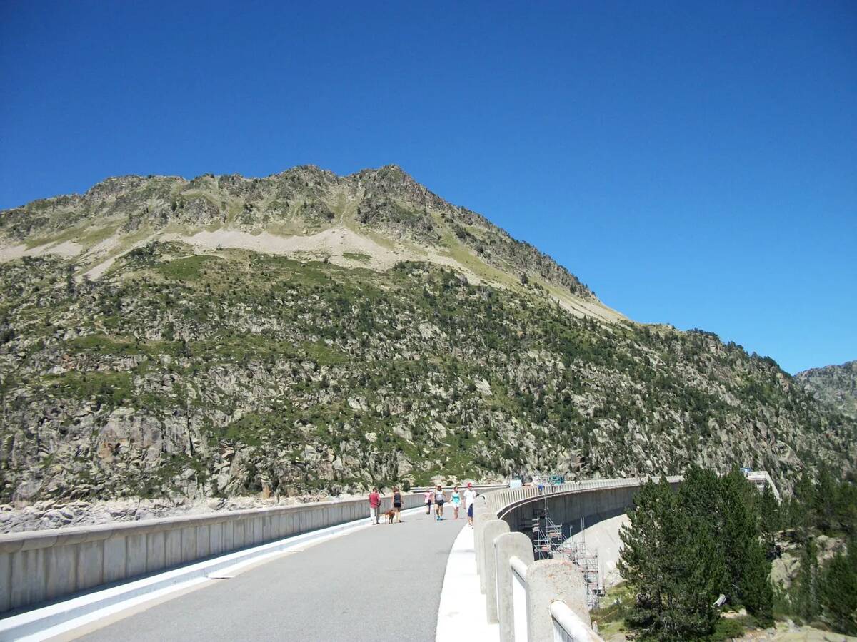
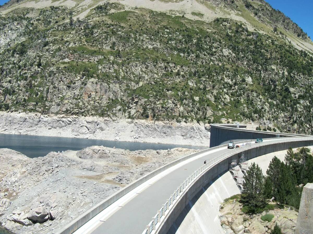
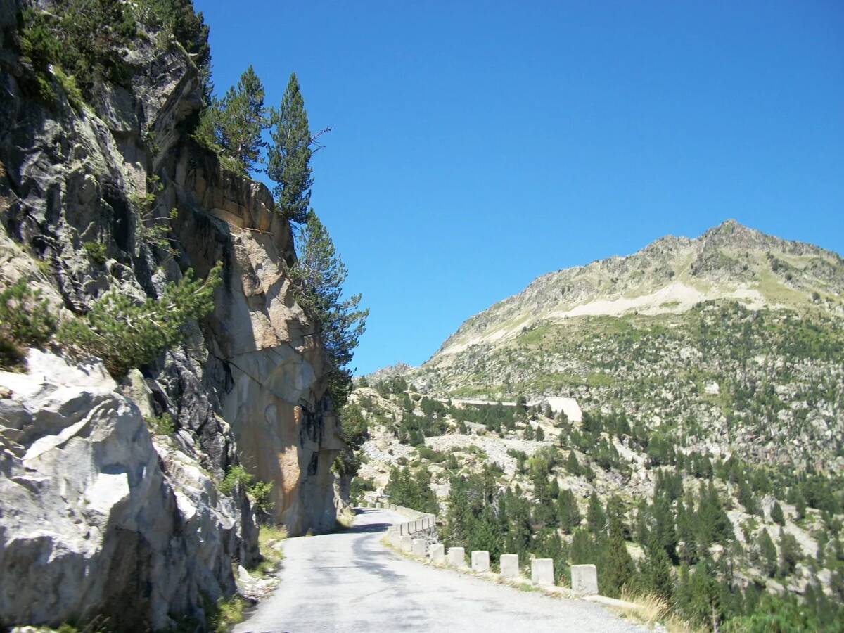
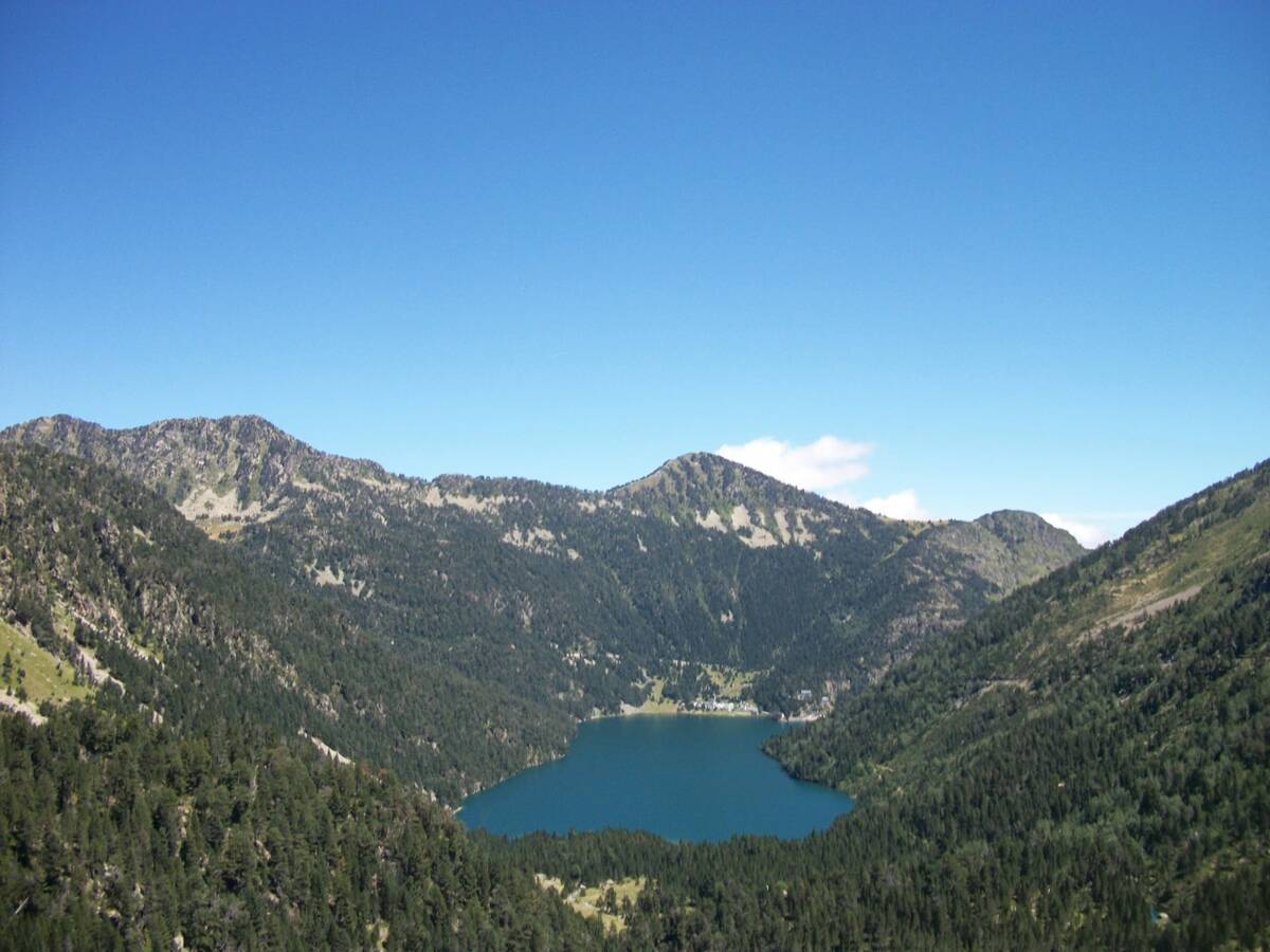
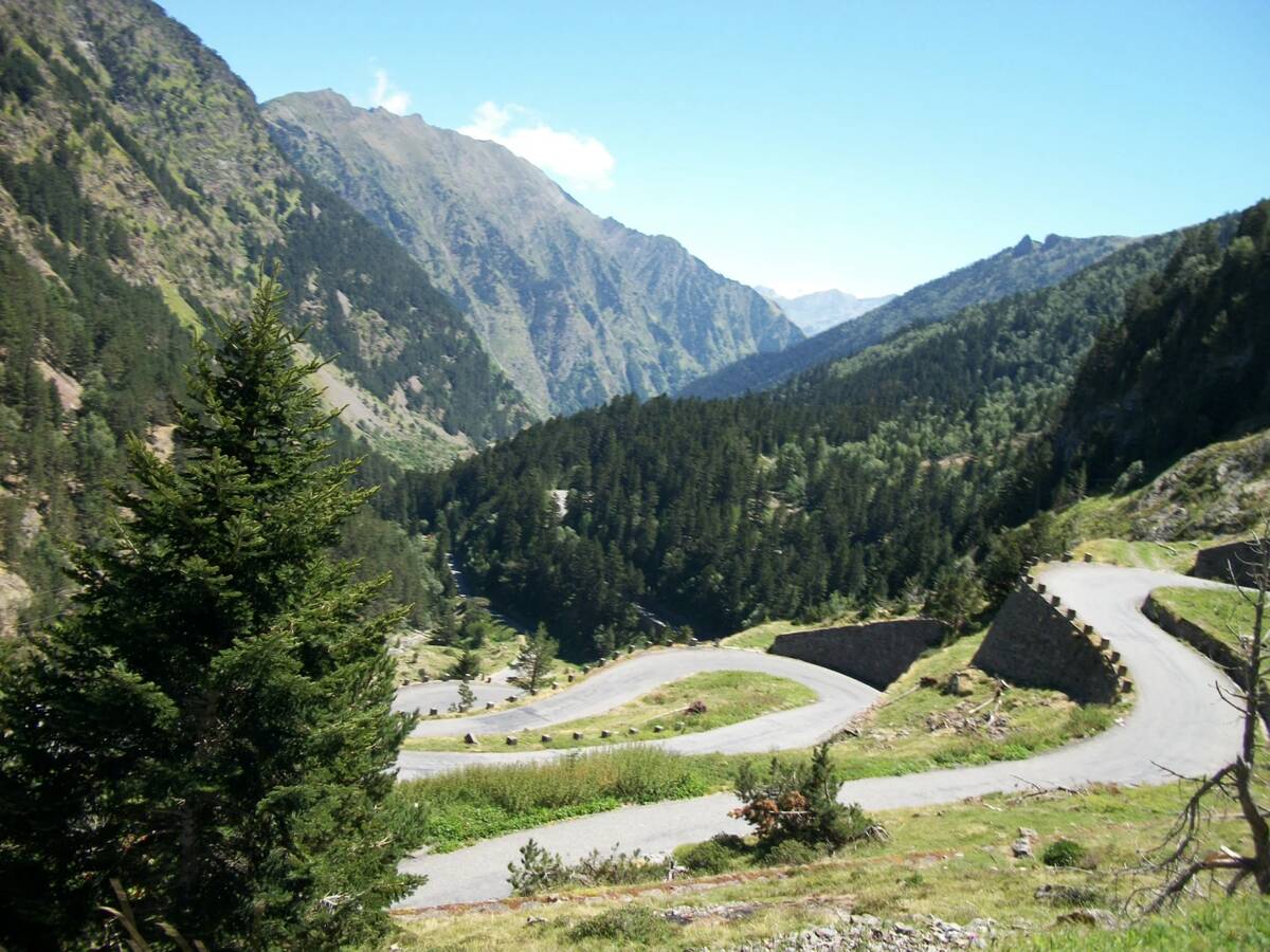
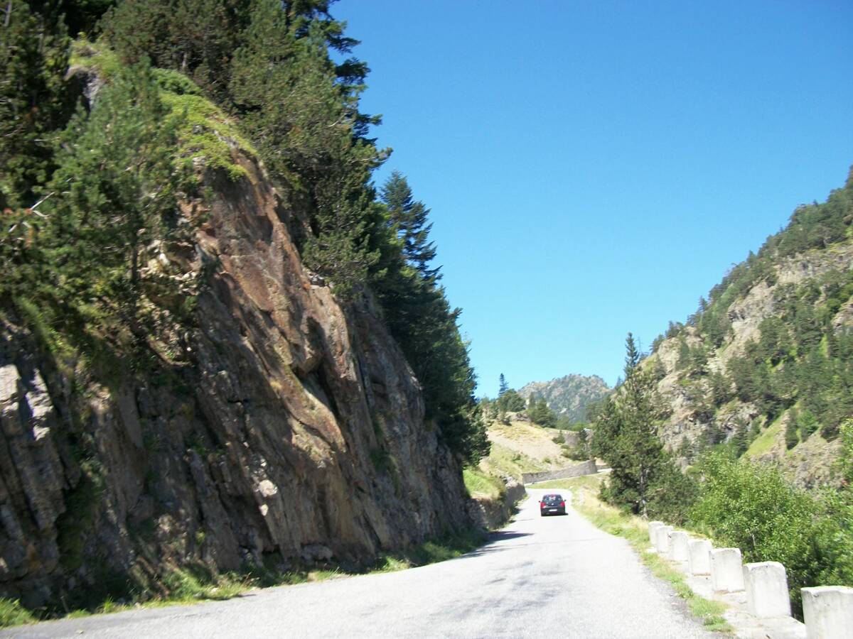
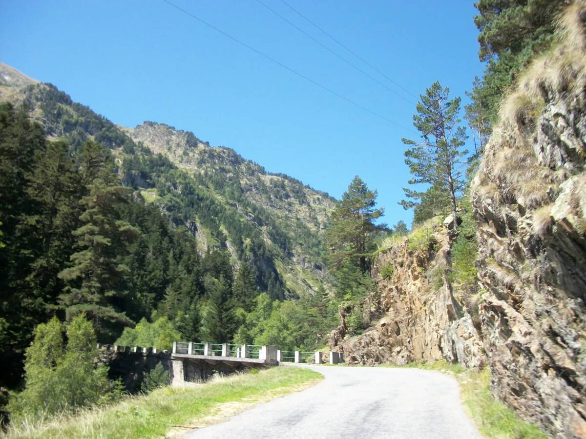
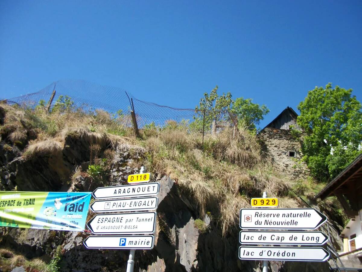
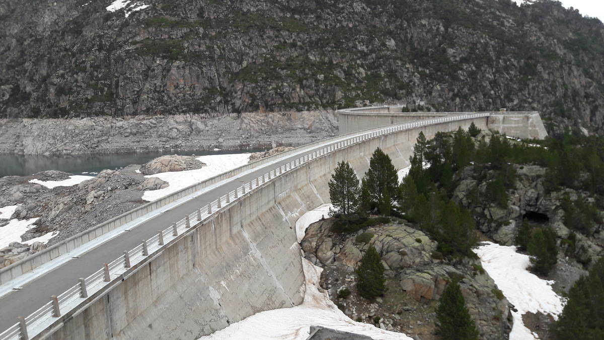
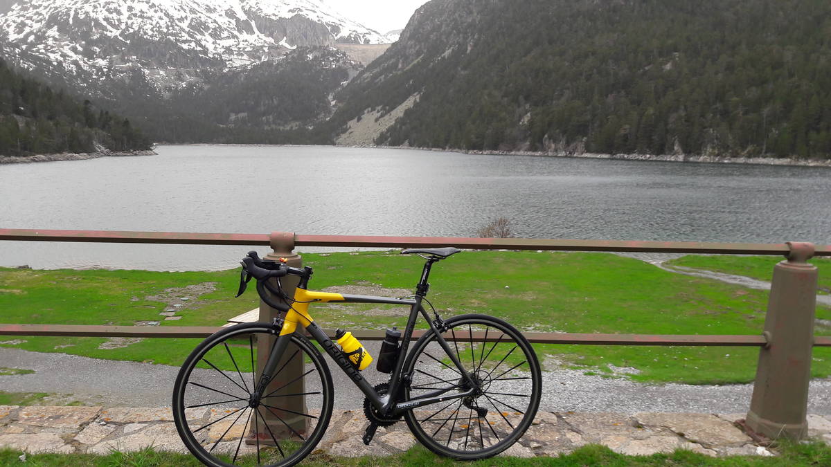
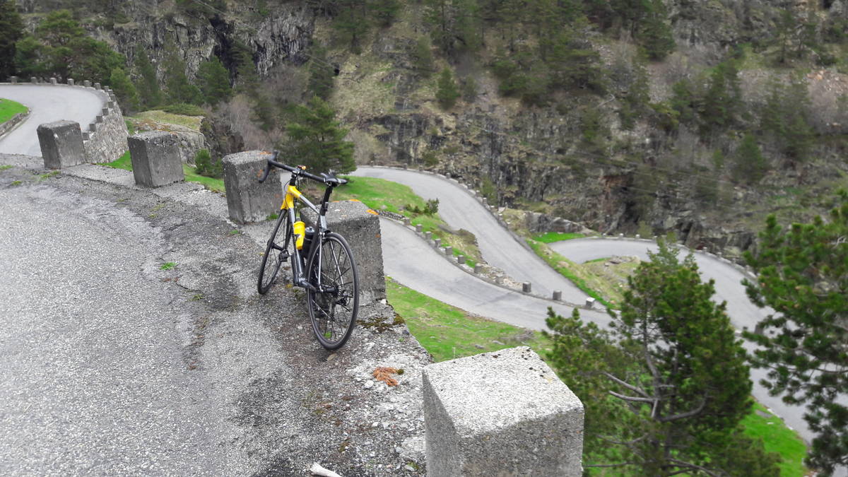
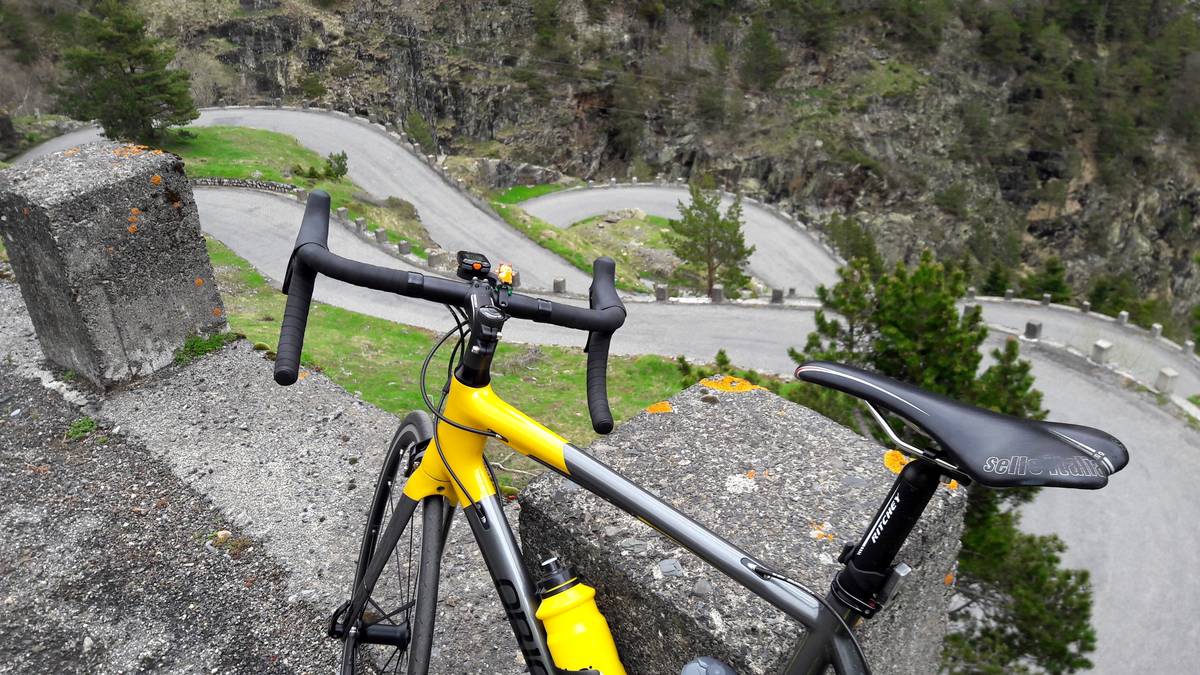
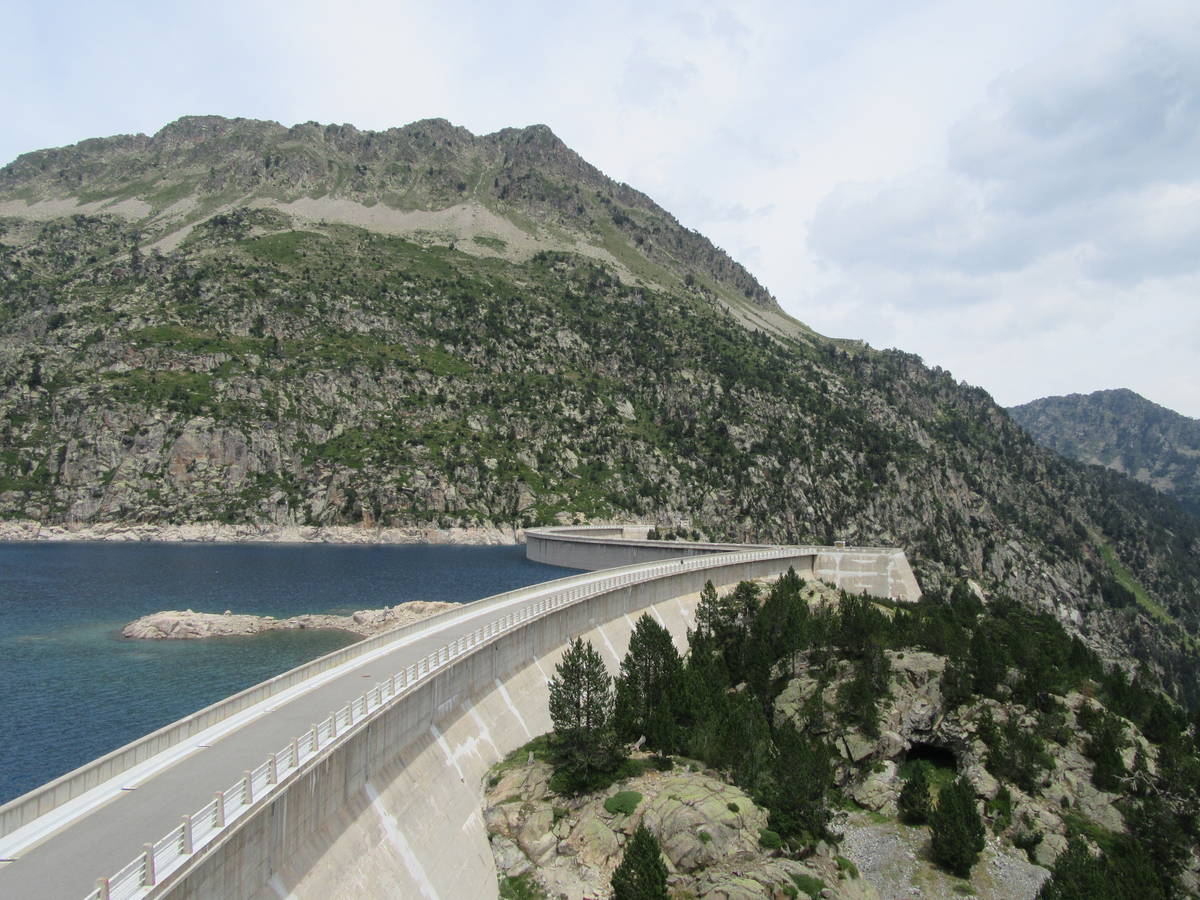
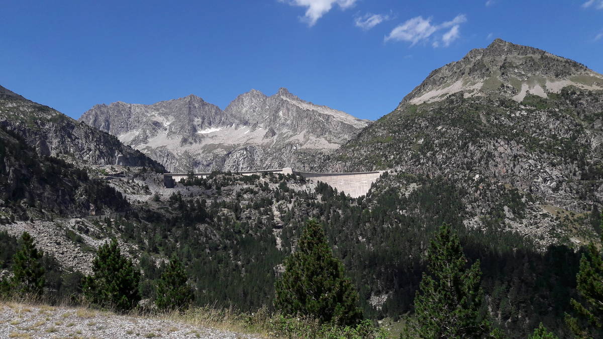
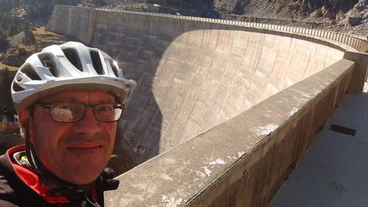
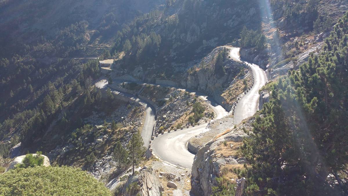
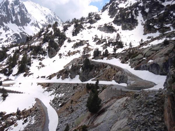
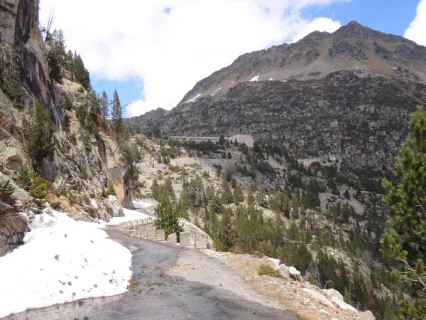
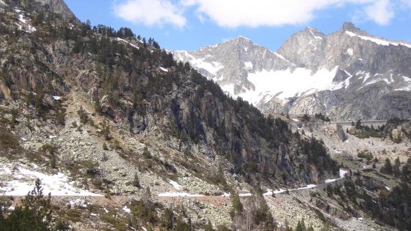
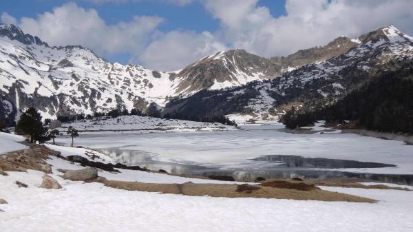
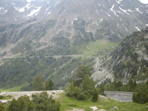
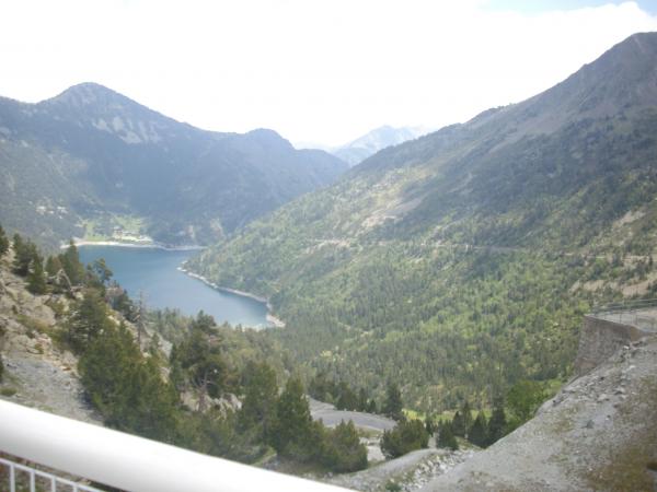
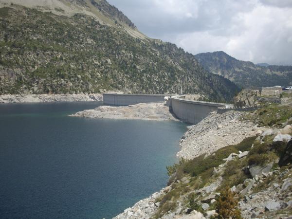
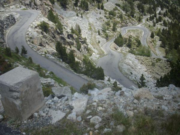
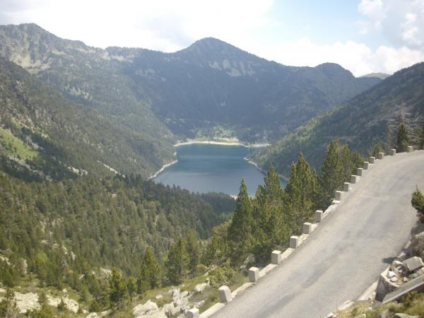
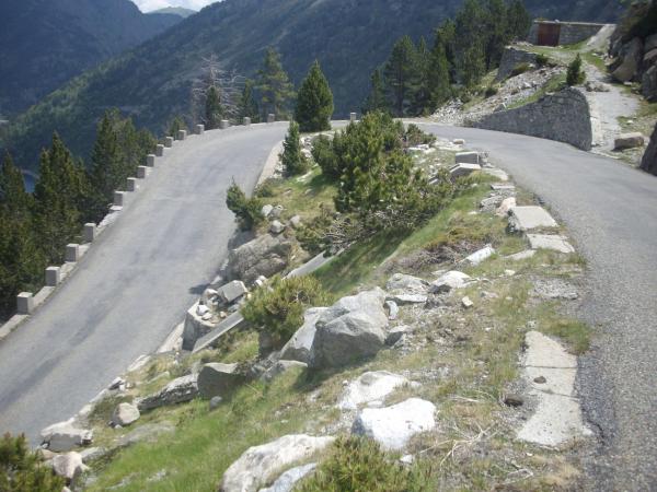
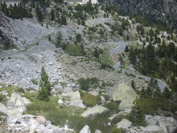
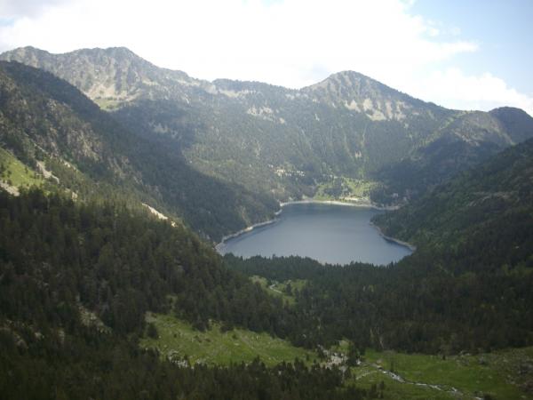
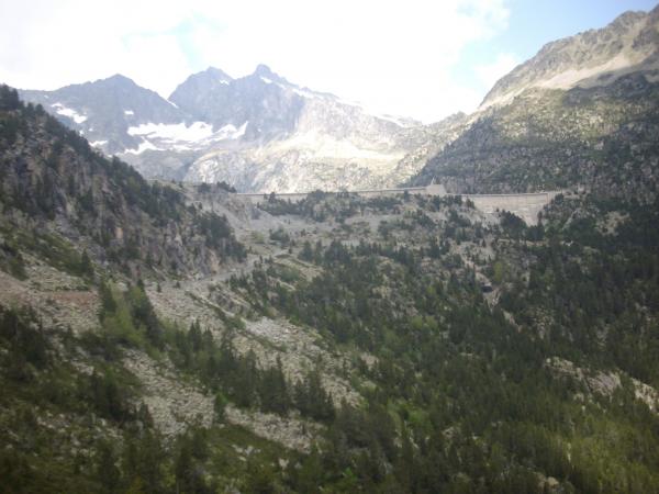
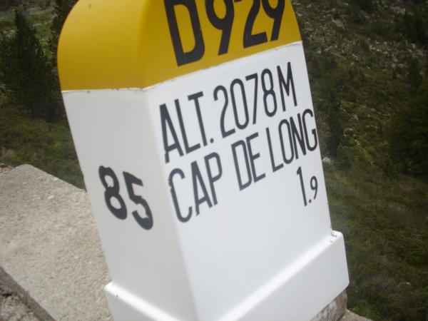
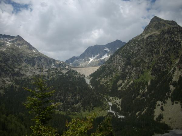
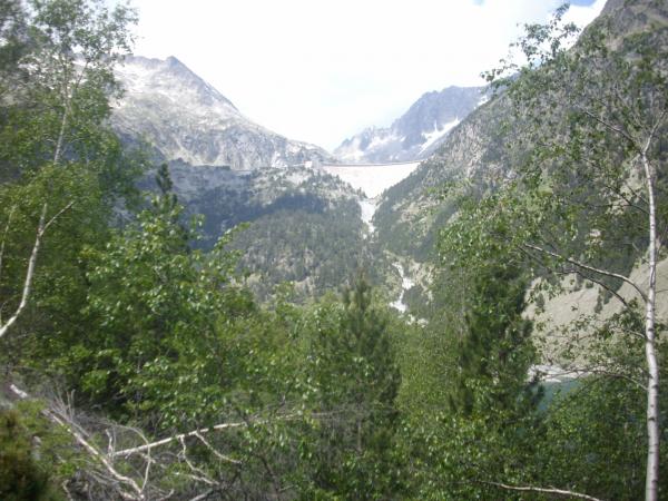
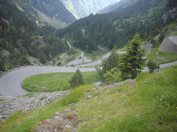
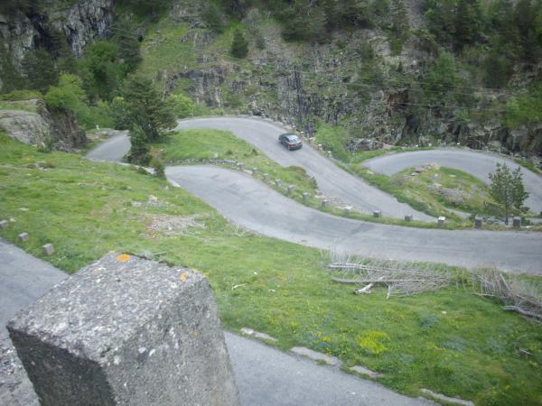
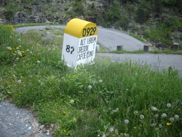
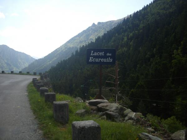
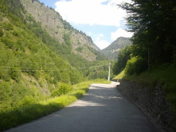
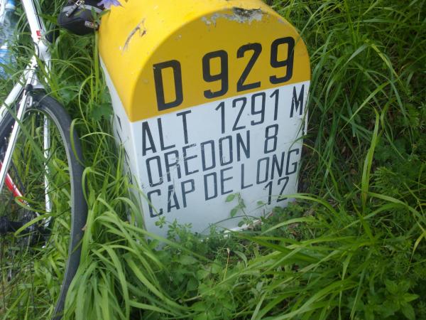
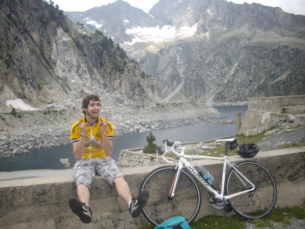
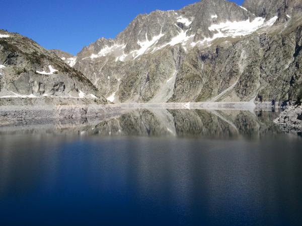
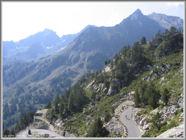
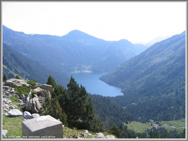
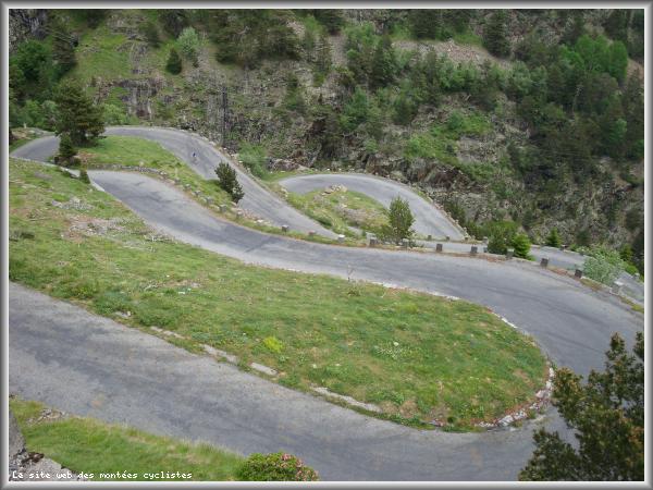
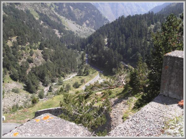
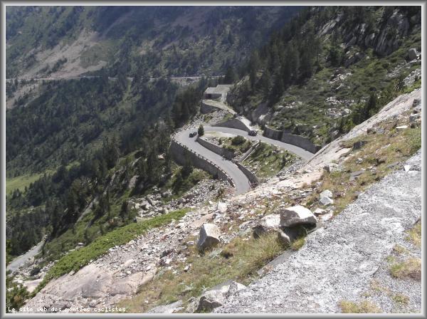
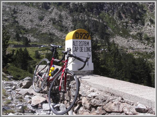
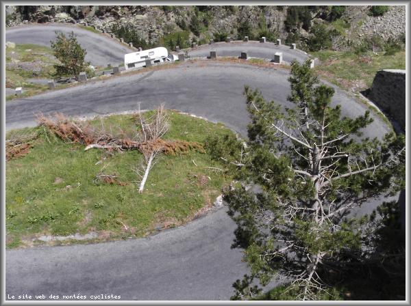
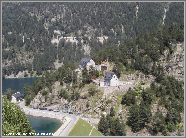
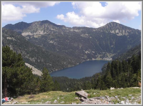
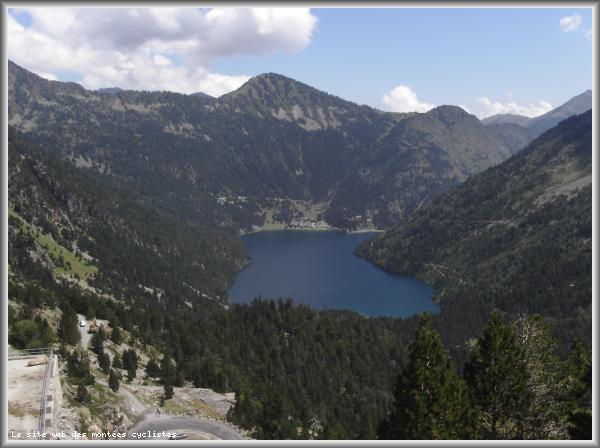
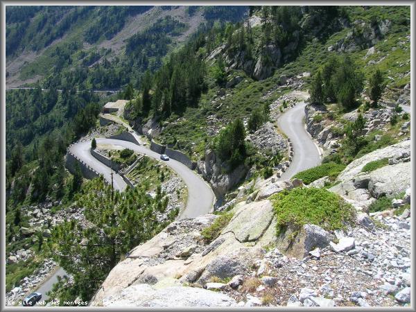
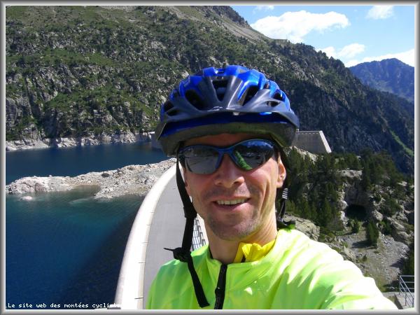
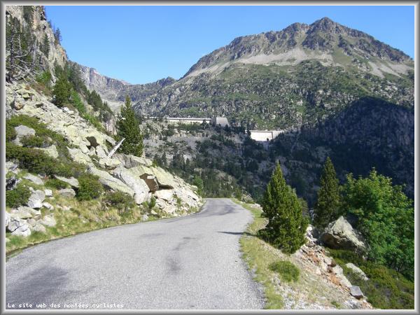
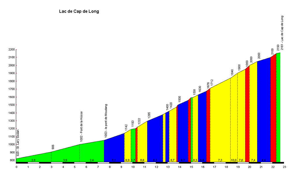
Lac de Cap de Long :
2161 m
from Saint Lary Soulan
Home
>
France
>
Central pyrenees
>
Lac de Cap de Long
> Lac de Cap de Long from Saint Lary Soulan : 2161m
Ascents reserved for cyclists
DESCRIPTION
TESTIMONIALS
0
PHOTO GALLERY
91
NEAR
Information
Name :
Lac de Cap de Long
Altitude :
2161 m
Start :
Saint Lary Soulan
Length :
22.60 km
Elevation gain :
1341 m
% Avg :
5.93%
% Max :
12.0%
Mountain range :
Central pyrenees
,
France
Map
Show map
Profile
Report an error
Want to add a testimonial ?
Login or Create your account
There's no comment yet
Show map
Add a picture
×
Name :
Lac de Cap de Long, 2161 m
Mountain range :
Central pyrenees
Start :
Saint Lary Soulan
Comment
Choose a picture :
Message :
Add a testimonial
×
Name :
Lac de Cap de Long, 2161 m
Mountain range :
Central pyrenees
Start :
Saint Lary Soulan
Comment
Climbing time :
Message :
Delete a review
×
Name :
Lac de Cap de Long, 2161 m
Mountain range :
Central pyrenees
Start :
Saint Lary Soulan
 Ascents reserved for cyclists