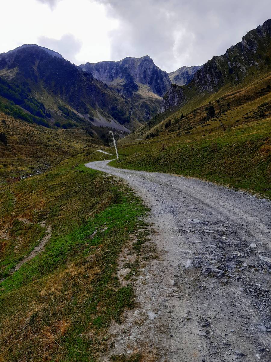
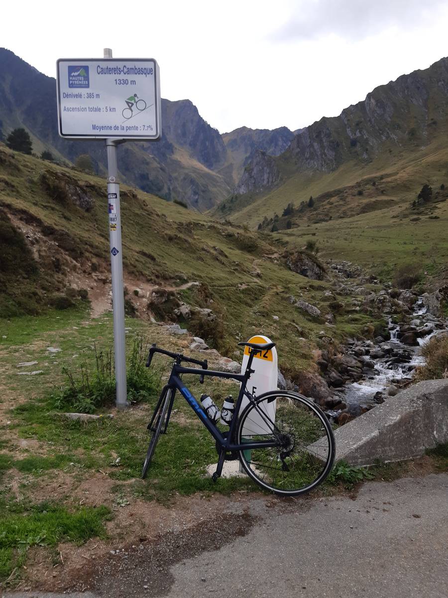
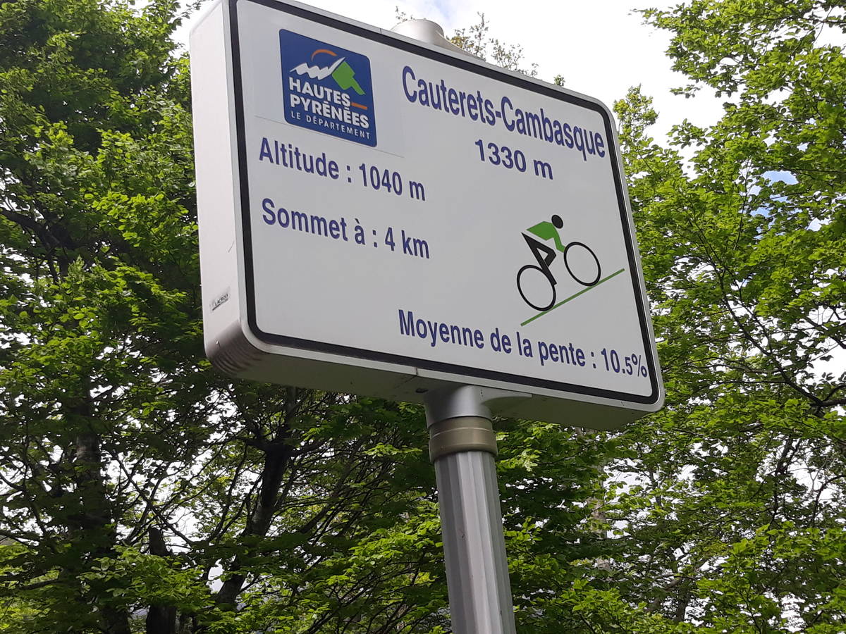
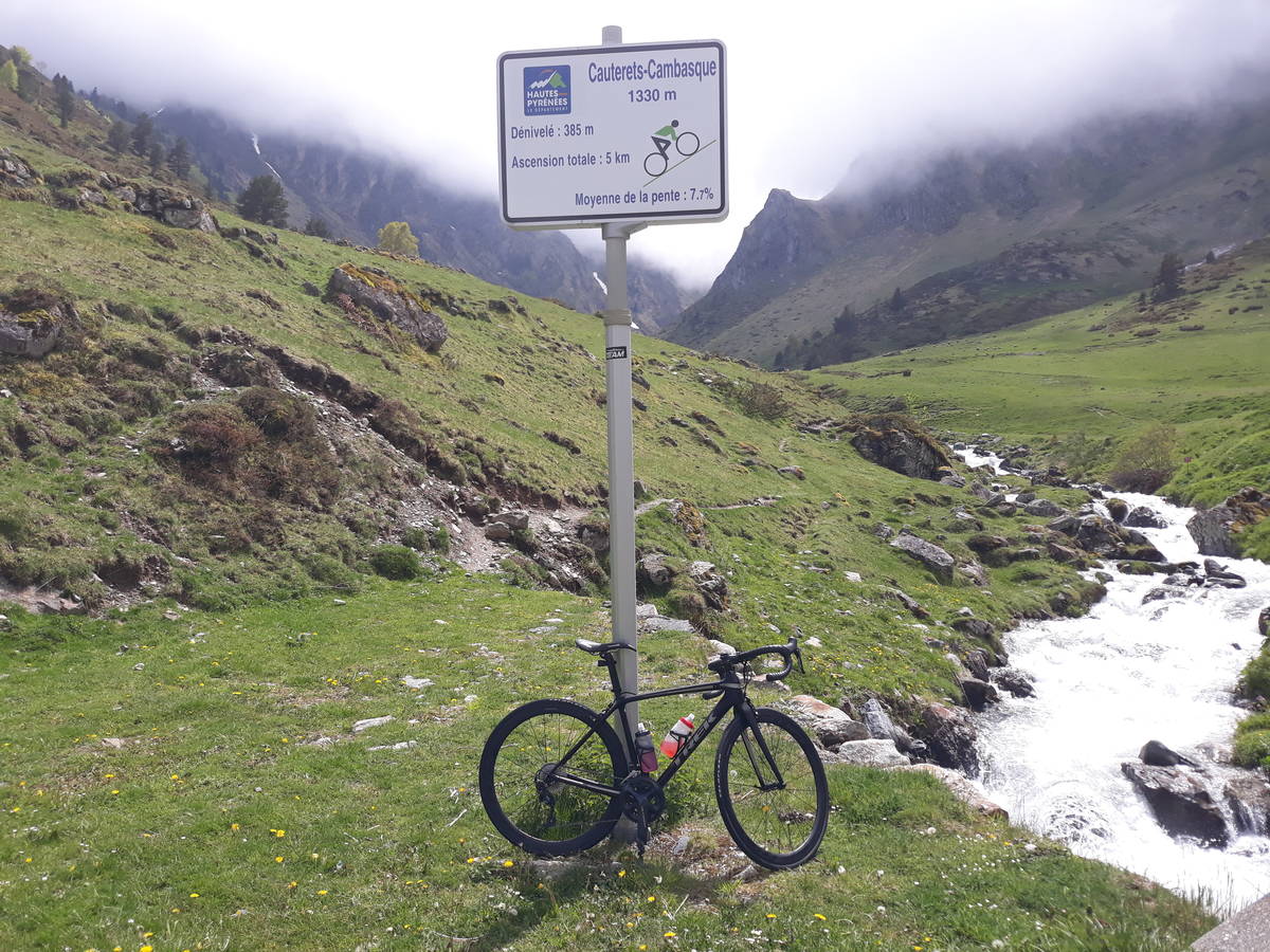
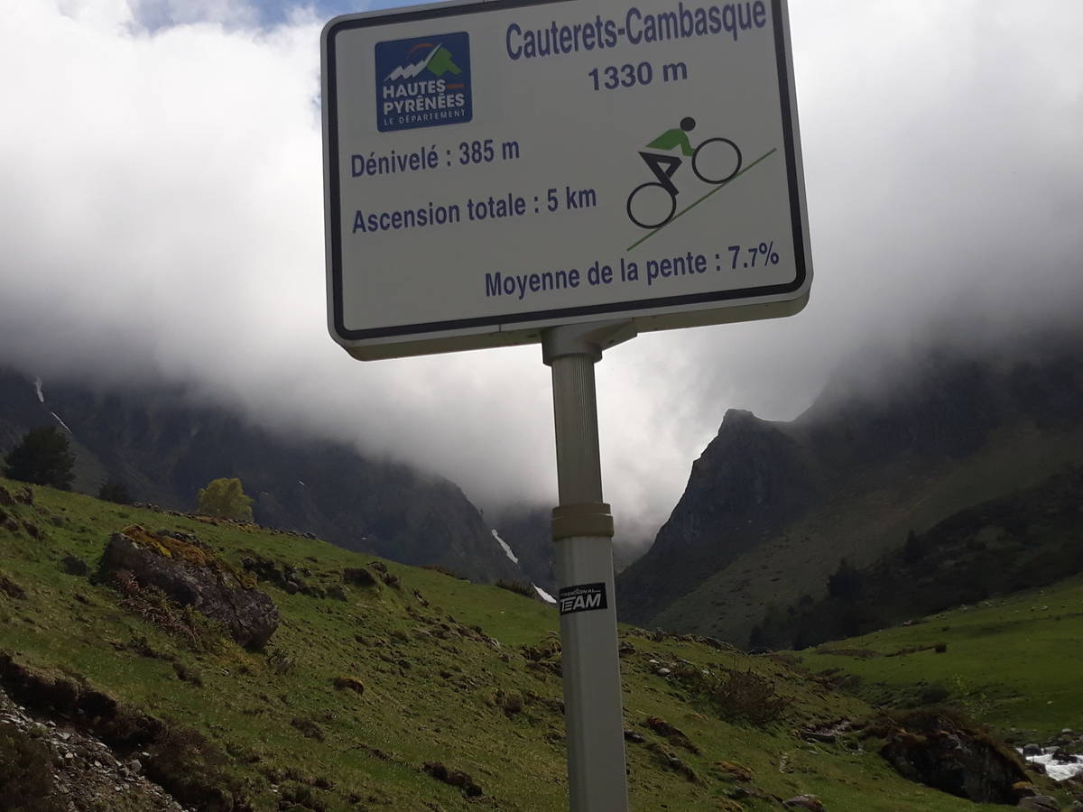
Information
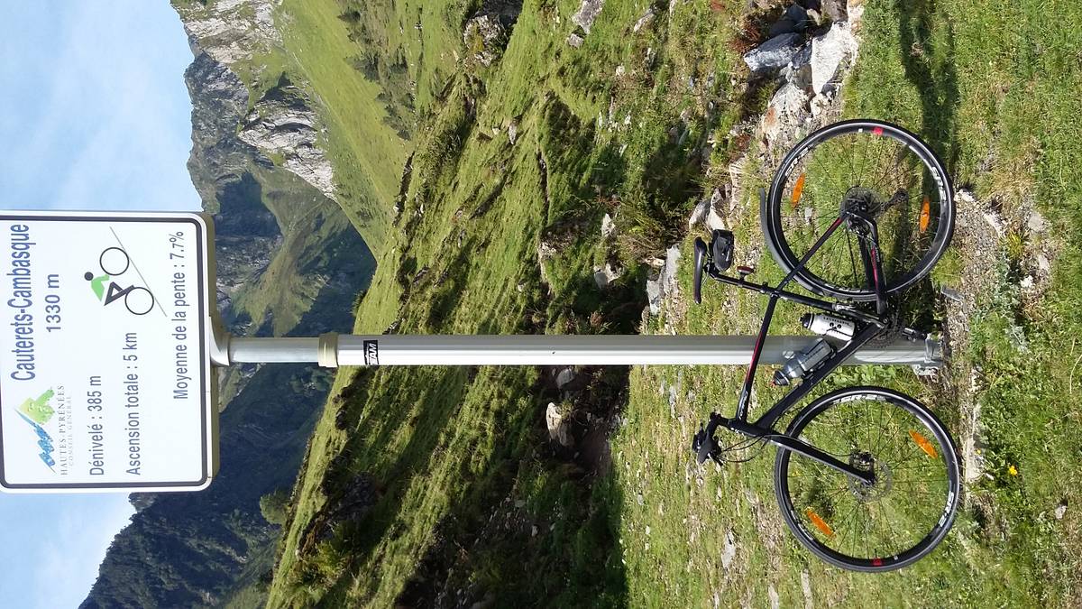
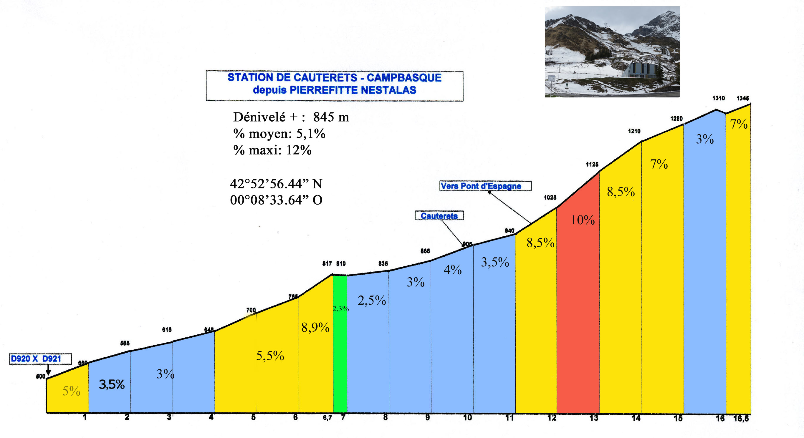
| Name : | Station de Cauterets-Campbasque |
| Altitude : | 1345 m |
| Start : | Pierrefitte Nestalas |
| Length : | 16.50 km |
| Elevation gain : | 845 m |
| % Avg : | 5.12% |
| % Max : | 12.0% |
| Mountain range : | Central pyrenees, France |
Map
Profile
 This climb is reserved for cyclists on 16/07/2026 : This climb is reserved for cyclists on 24/07/2025 : This climb is reserved for cyclists on 18/07/2024 :