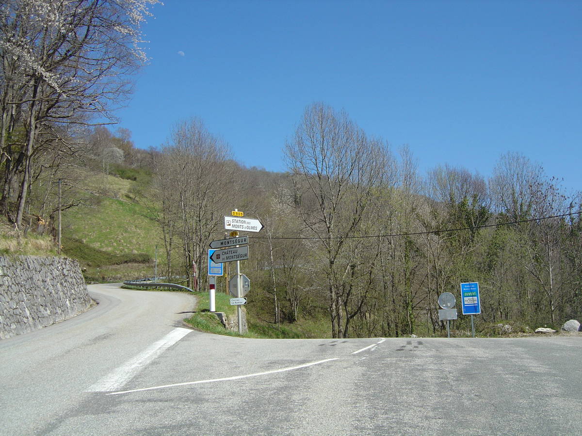
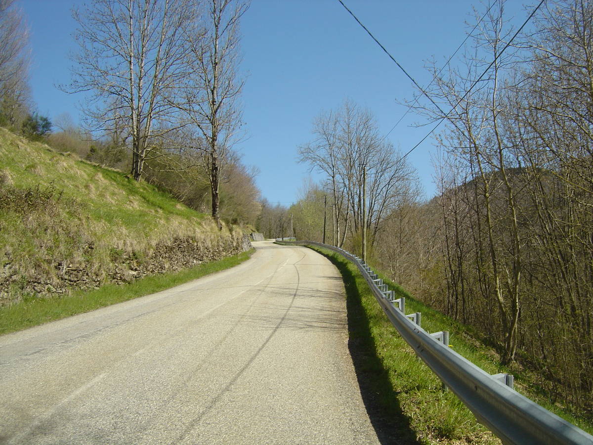
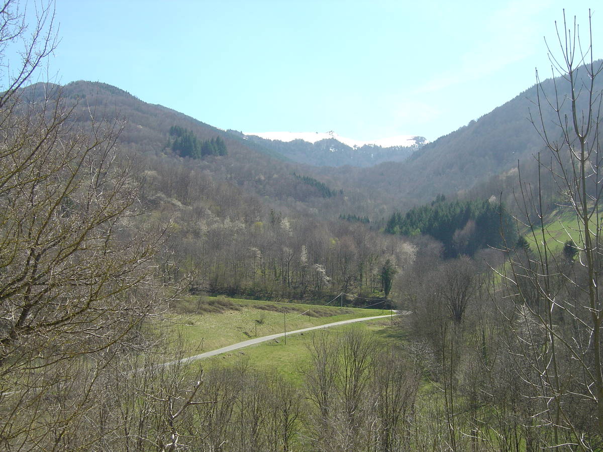
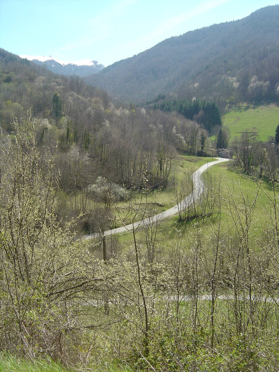
Information
There's other climb of this summit
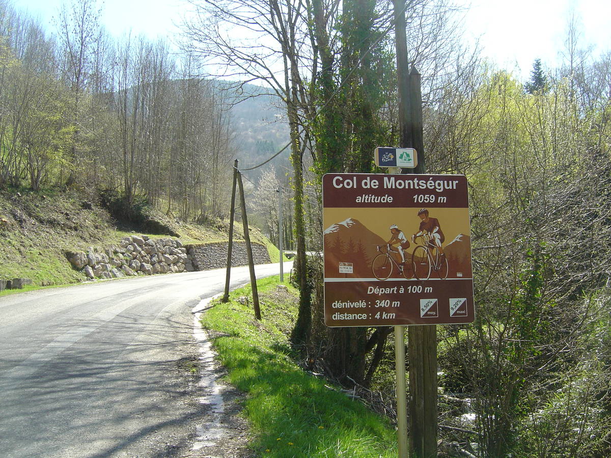
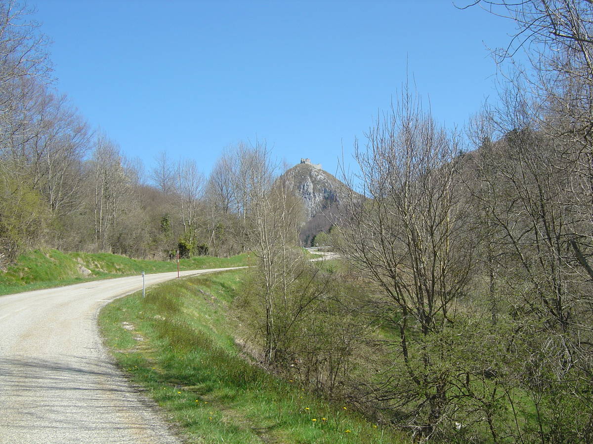
Map
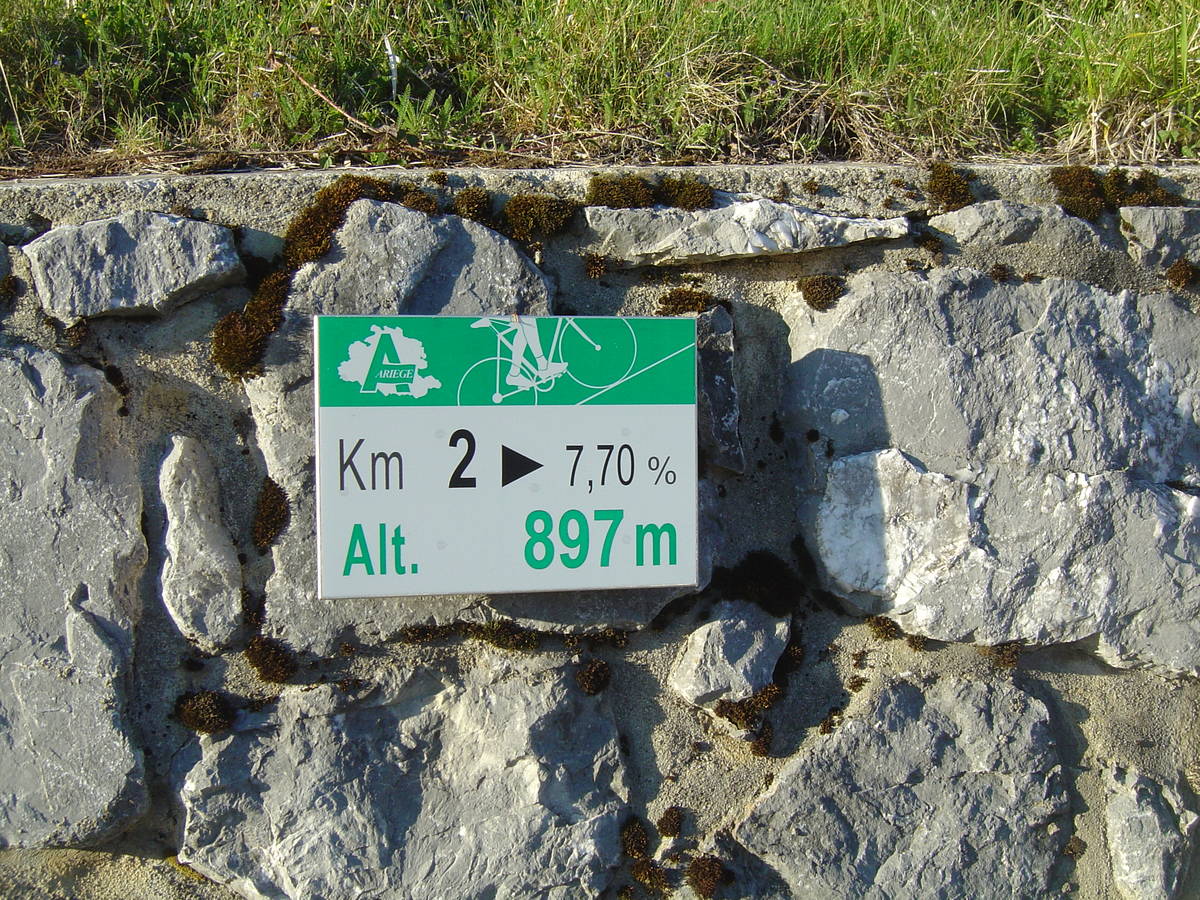
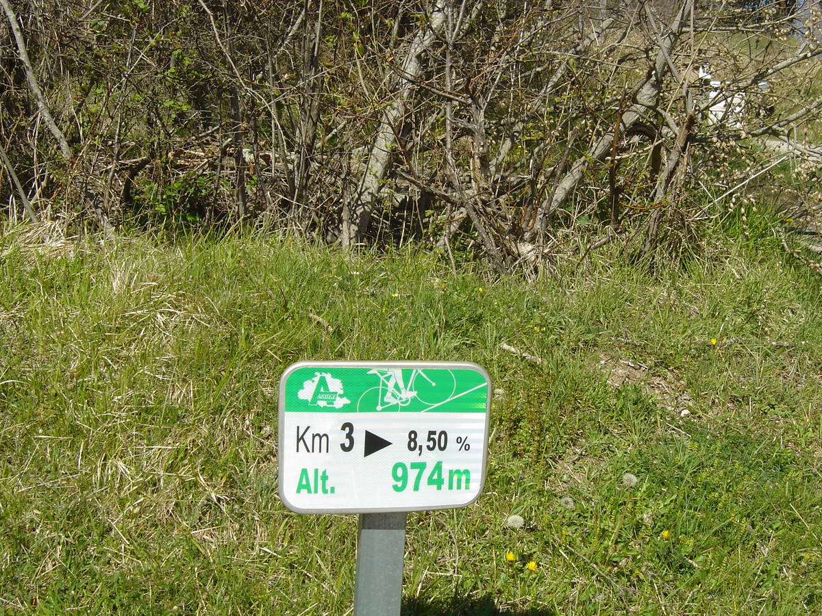
Profile
Login or Create your account
Choose a picture :
Message :
Climbing time :

 Ascents reserved for cyclists


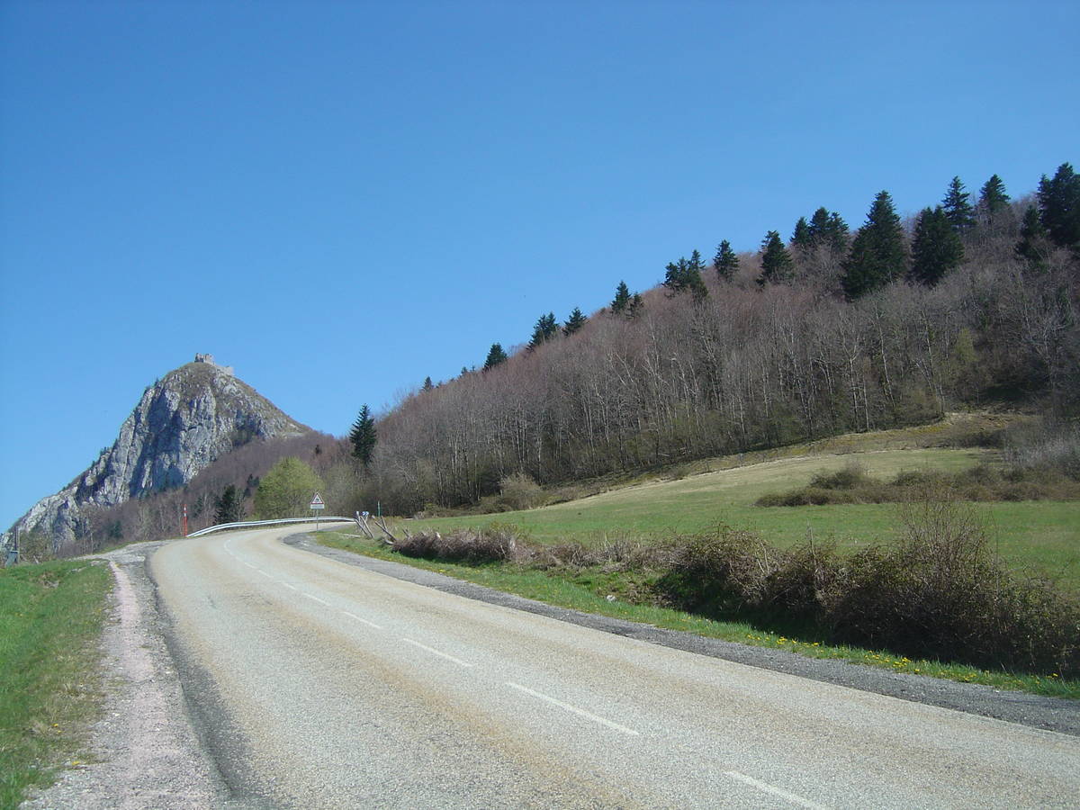
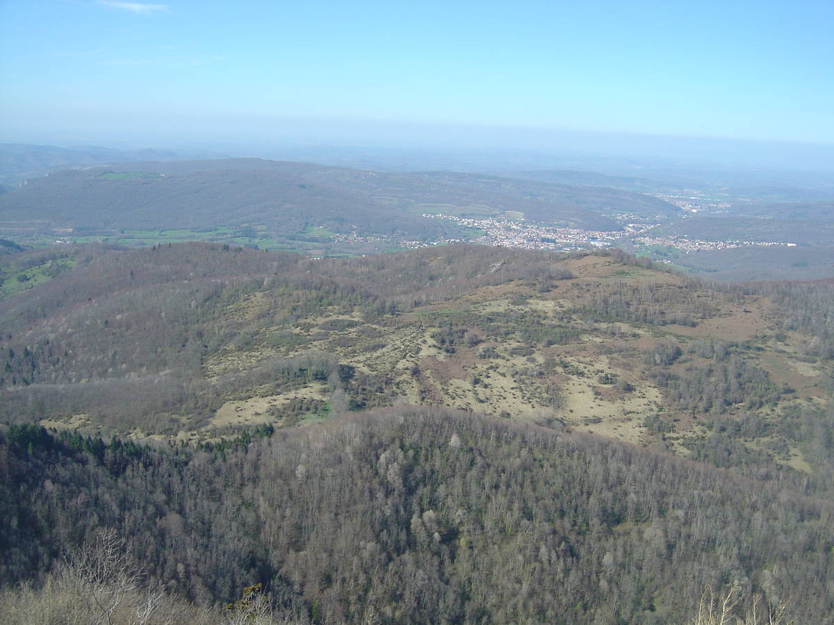
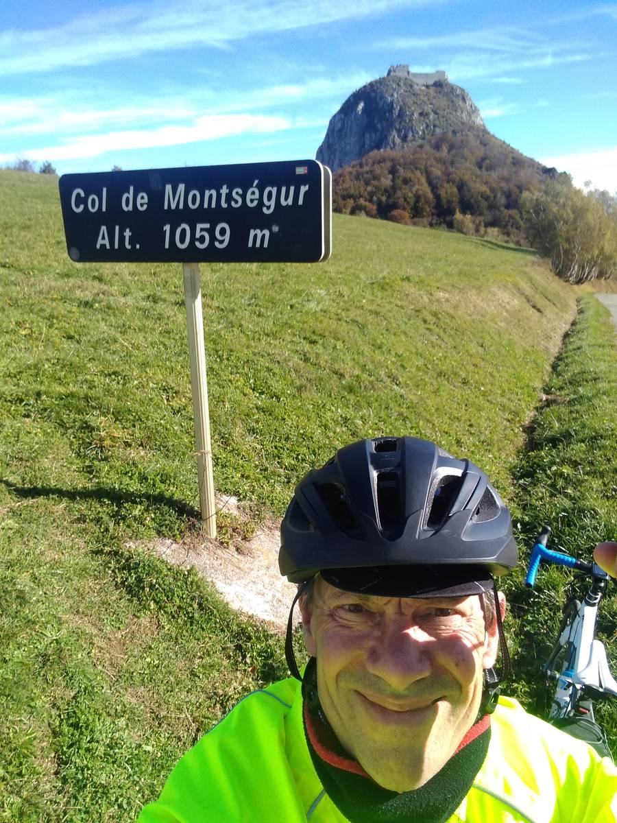
![Author : Siberian Wolf 10, Comment : Avril 2019. En arrière, en dehors de la route D9, une petite ascension de 325m à 11,07 % jusqu'à une petite bergerie privée [(1011-975)/0,325].](https://photos.cols-cyclisme.com/19509.jpg)