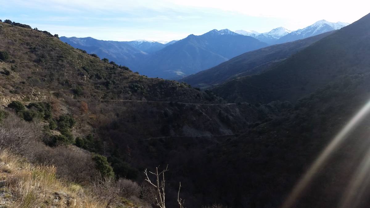
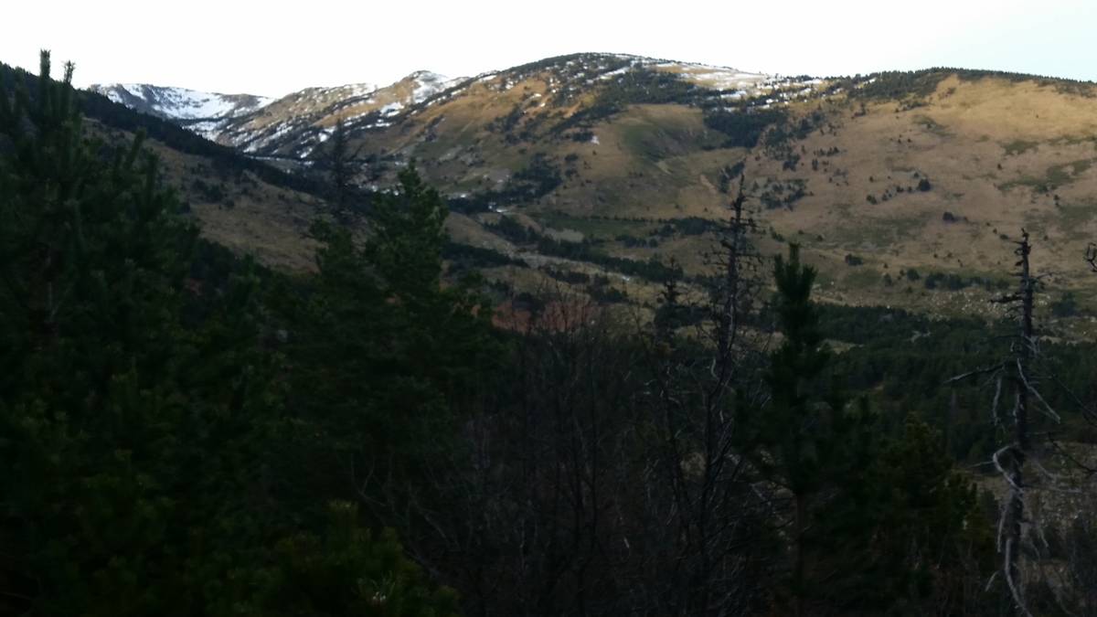
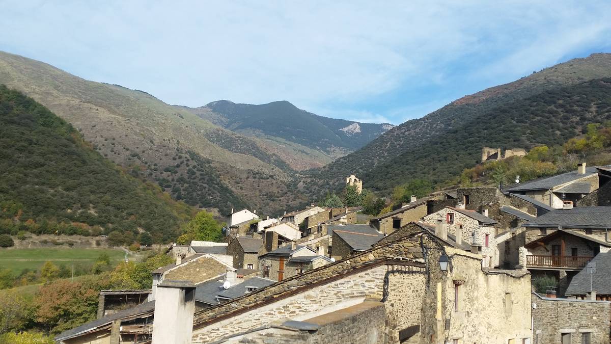
Information
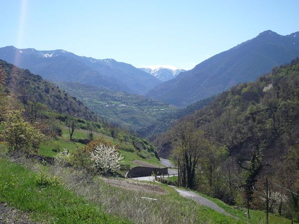
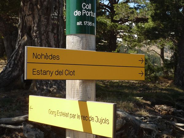
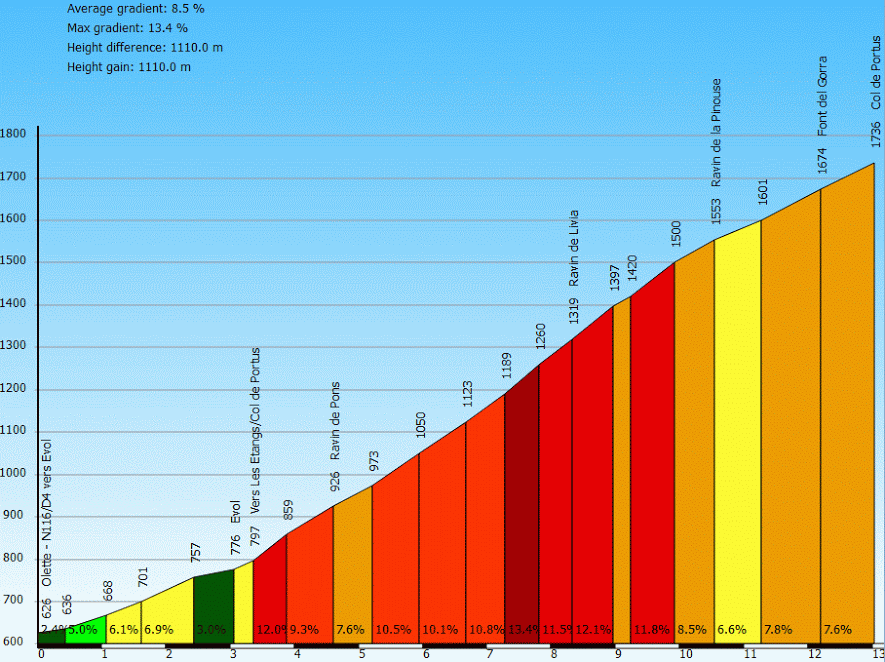
| Name : | Col de Portus |
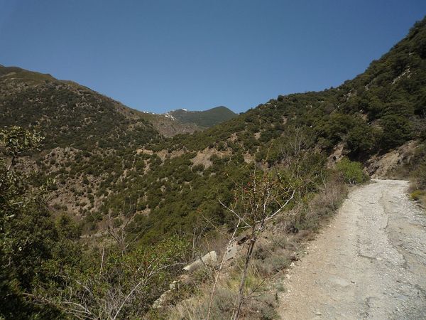
| Altitude : | 1736 m |
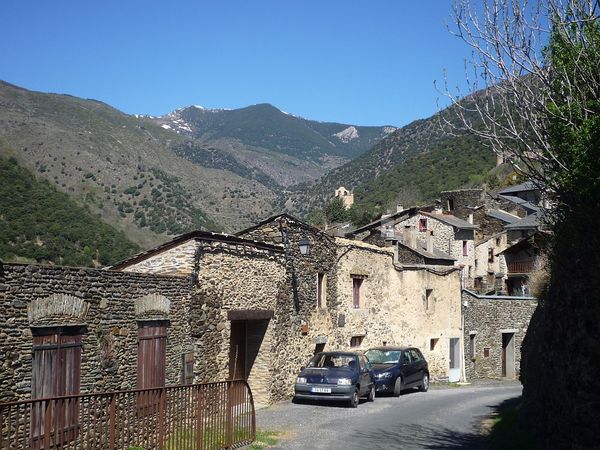
| Start : | Olette |
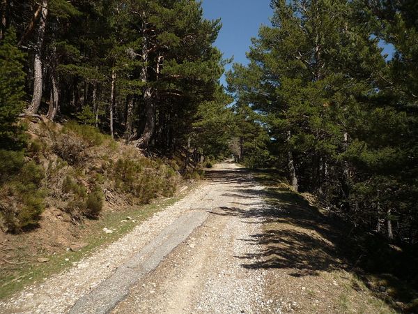
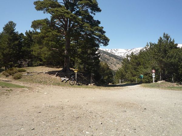
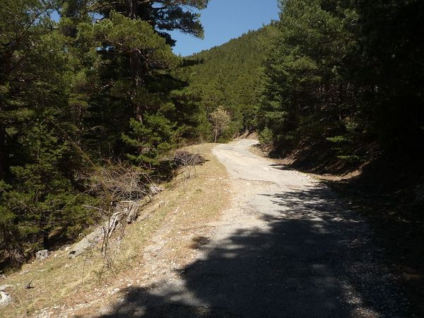
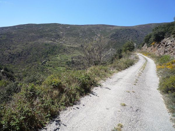
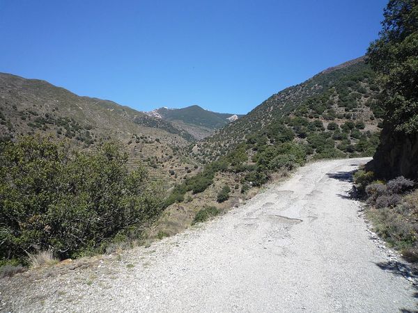
| MTB : | WARNING: this climb requires a MTB |
| Length : | 13.03 km |
| Elevation gain : | 1110 m |
| % Avg : | 8.52% |
| % Max : | 17.0% |
| Mountain range : | Eastern pyrenees, France |
There's other climb of this summit
Map
Profile
 Ascents reserved for cyclists