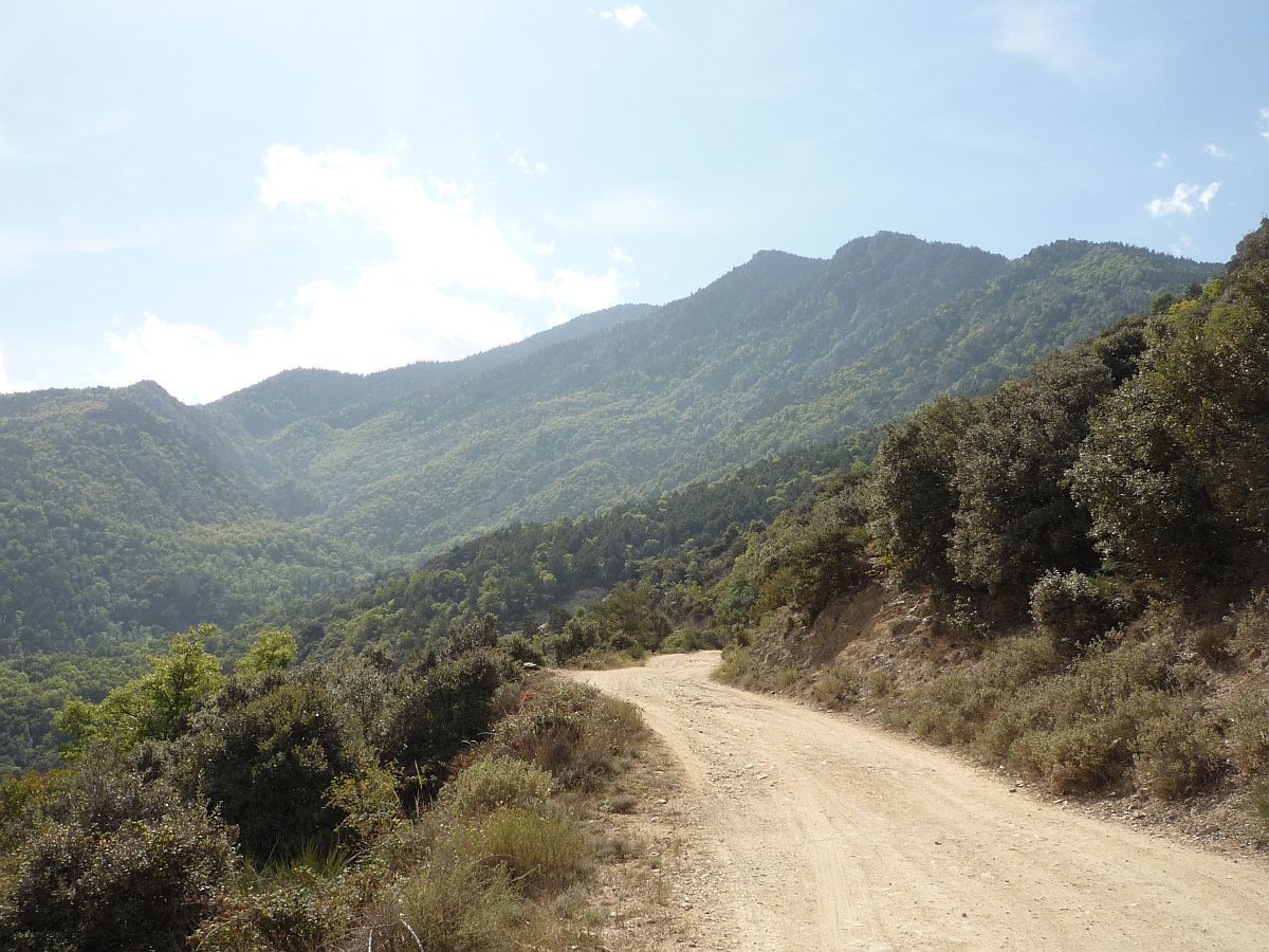
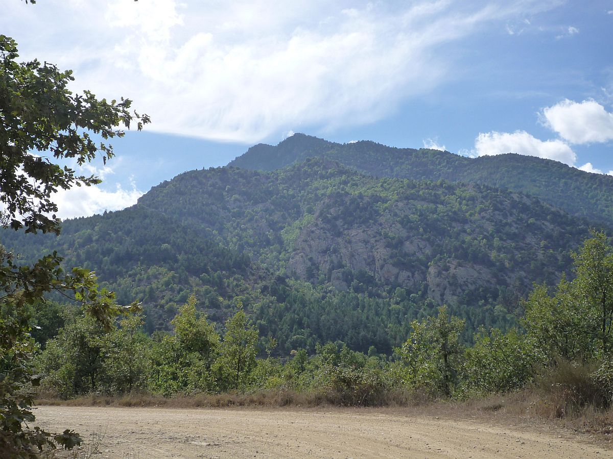
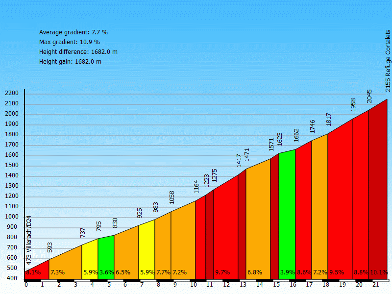
Information
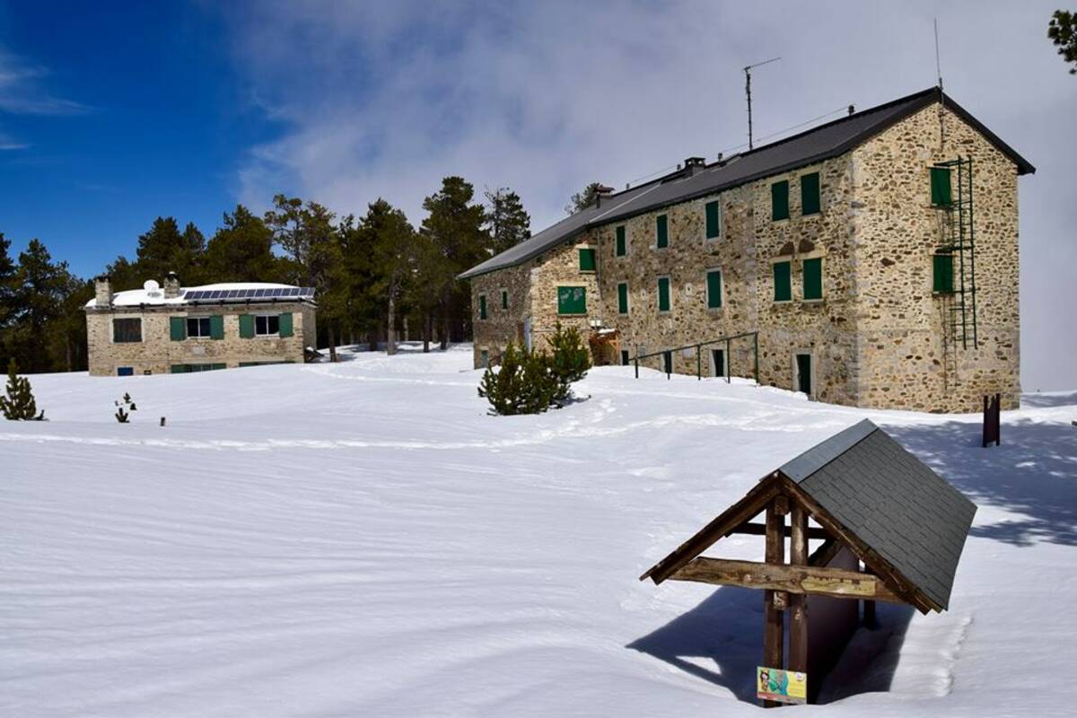
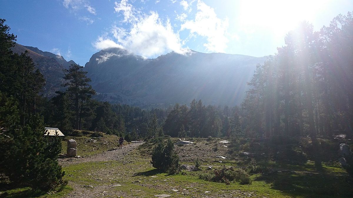
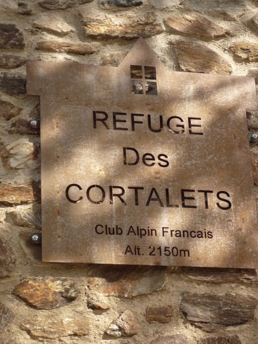
| Name : | Refuge des Cortalets |
| Altitude : | 2155 m |
| Start : | Villerach |
| MTB : | WARNING: this climb requires a MTB |
| Length : | 21.90 km |
| Elevation gain : | 1682 m |
| % Avg : | 7.68% |
| % Max : | 12.0% |
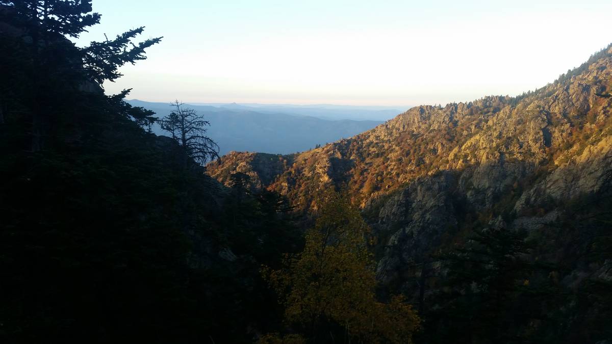
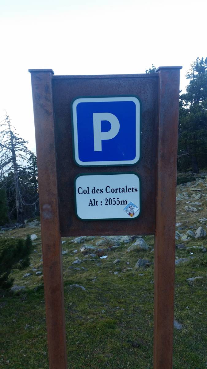
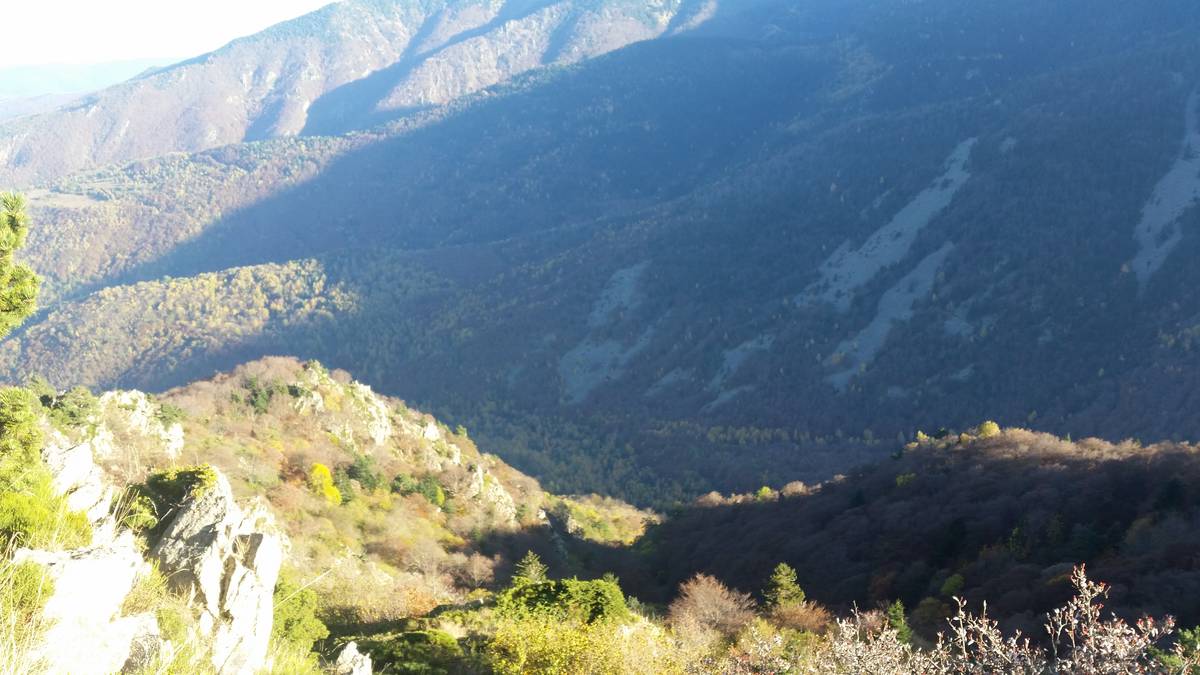
| Mountain range : | Eastern pyrenees, France |
There's other climb of this summit
Map
Profile
 Ascents reserved for cyclists