Information
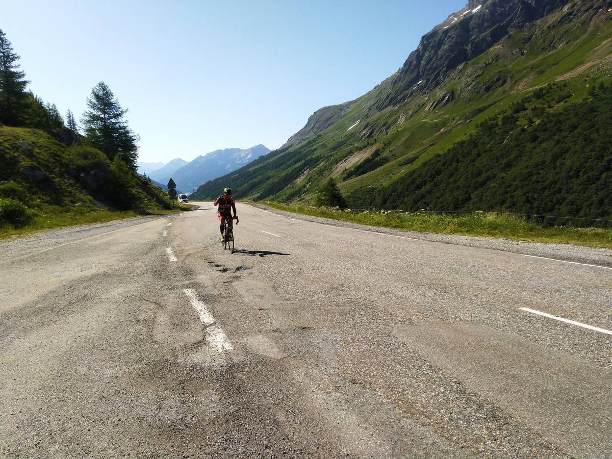
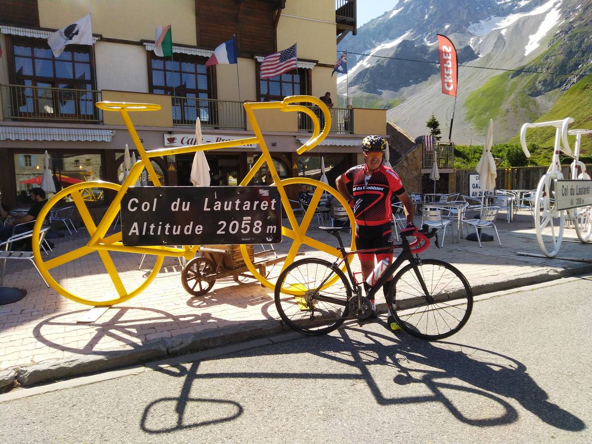
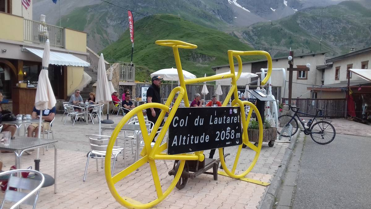
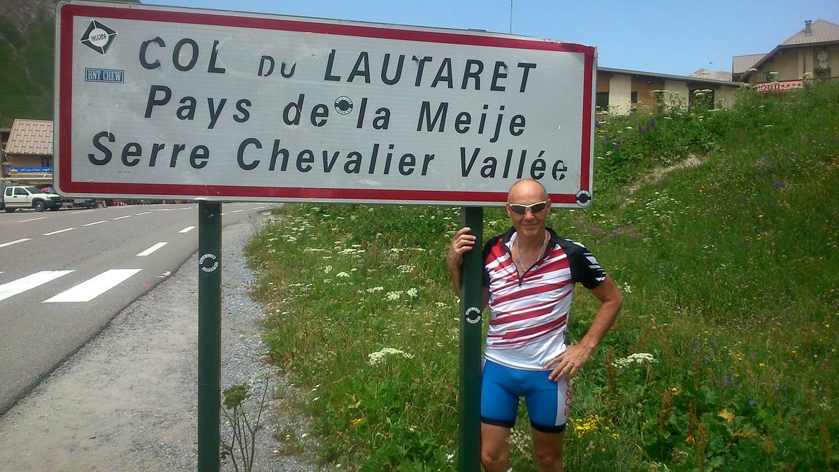
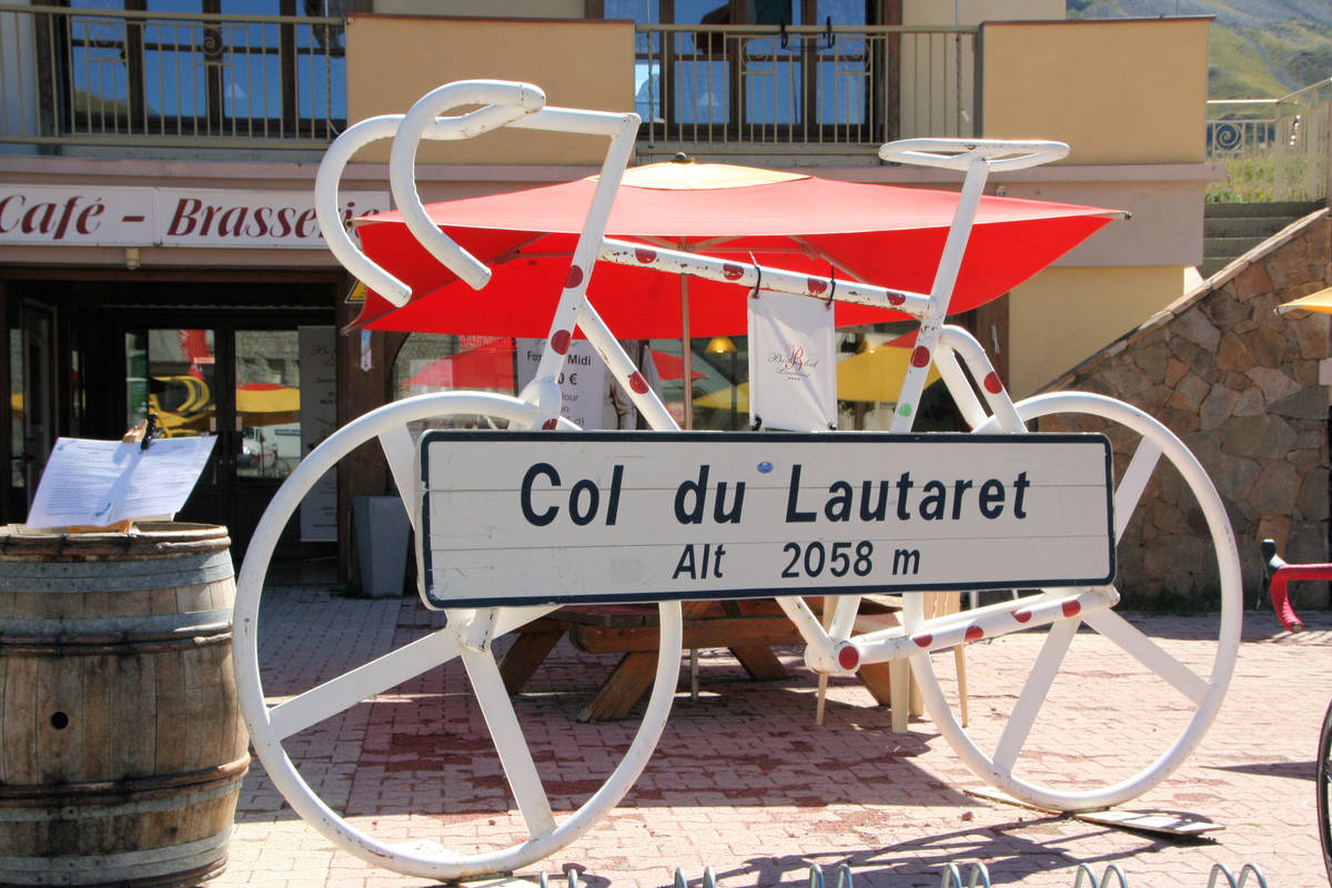
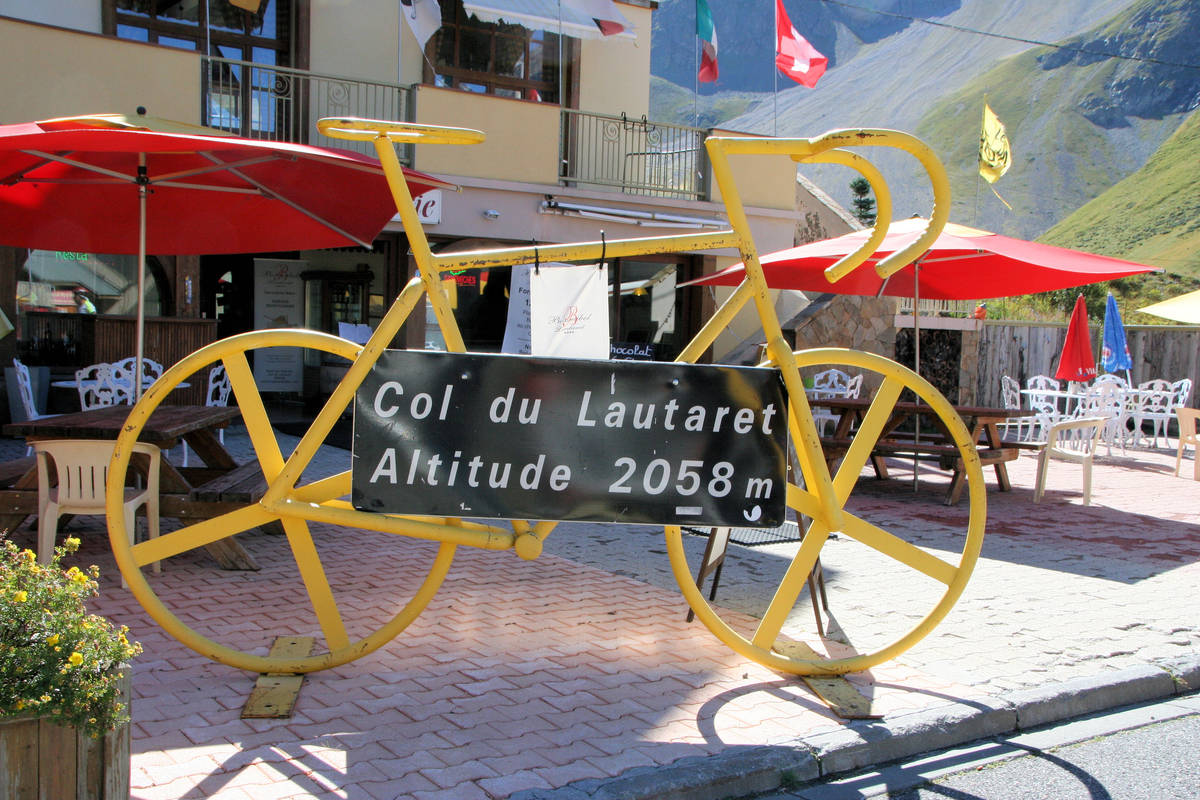
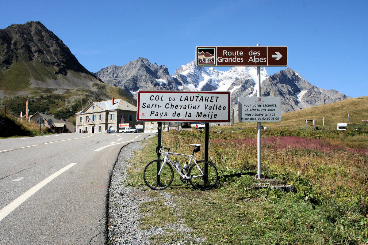
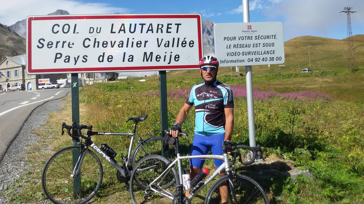
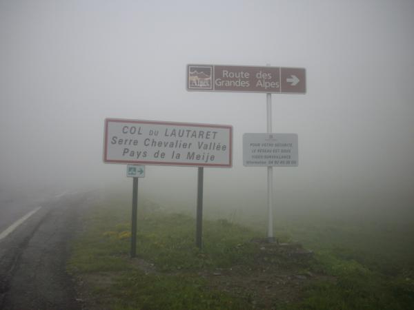
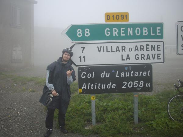
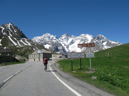
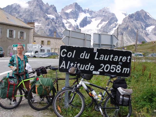
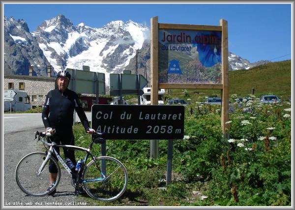
| Name : | Col du Lautaret |
| Altitude : | 2057 m |
| Opening : |  Fermé Fermé |
| Start : | Briançon |
| Length : | 27.70 km |
| Elevation gain : | 853 m |
| % Avg : | 3.08% |
| % Max : | 7.5% |
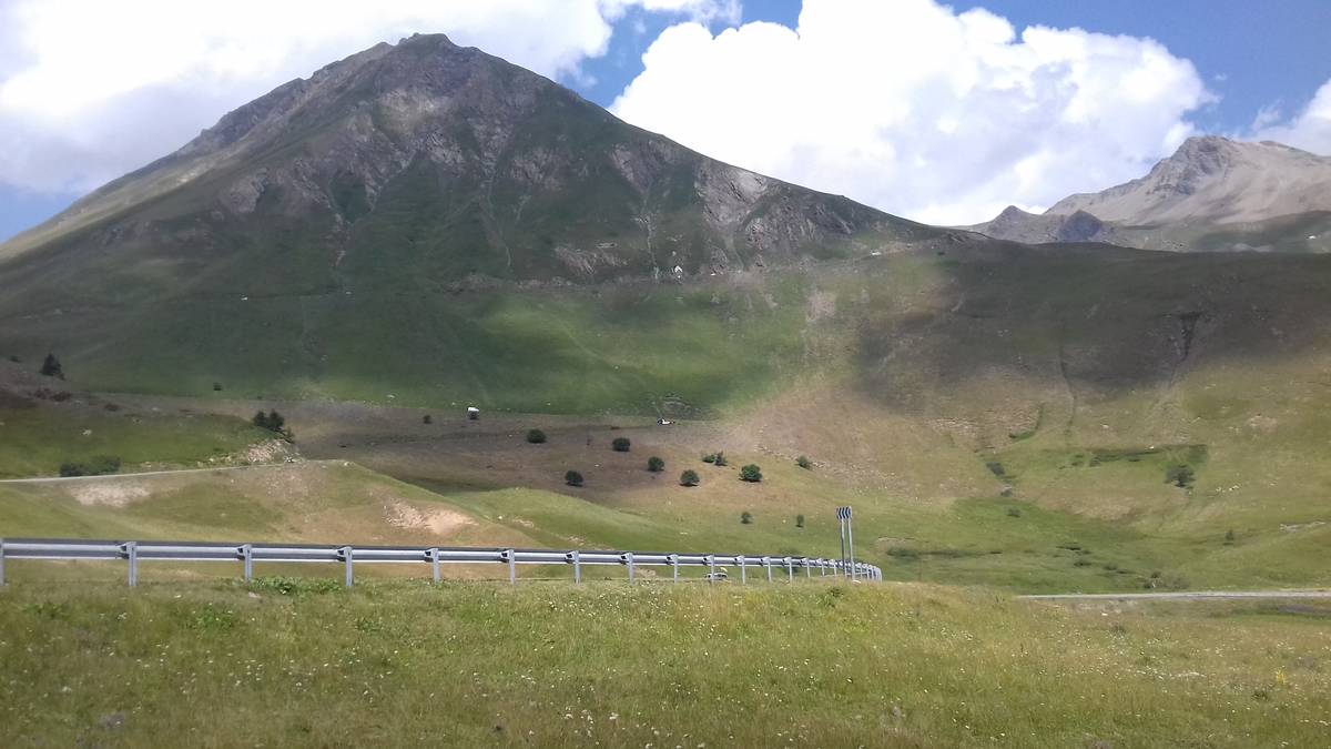
| Mountain range : | Arves and Grandes Rousses, France |
There's other climb of this summit
Map
Profile

 Ascents reserved for cyclists