Information
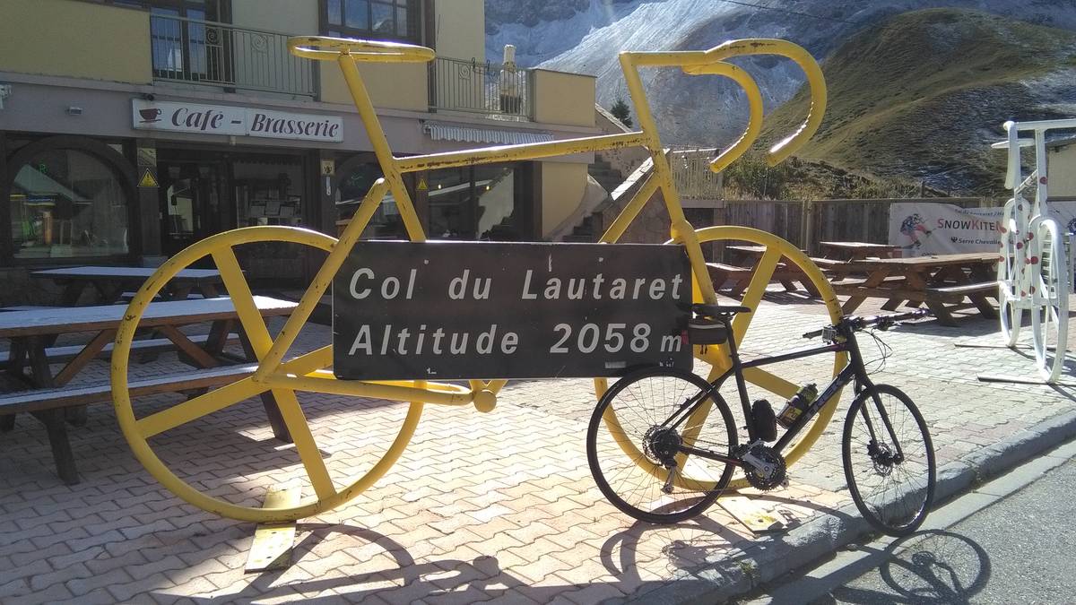
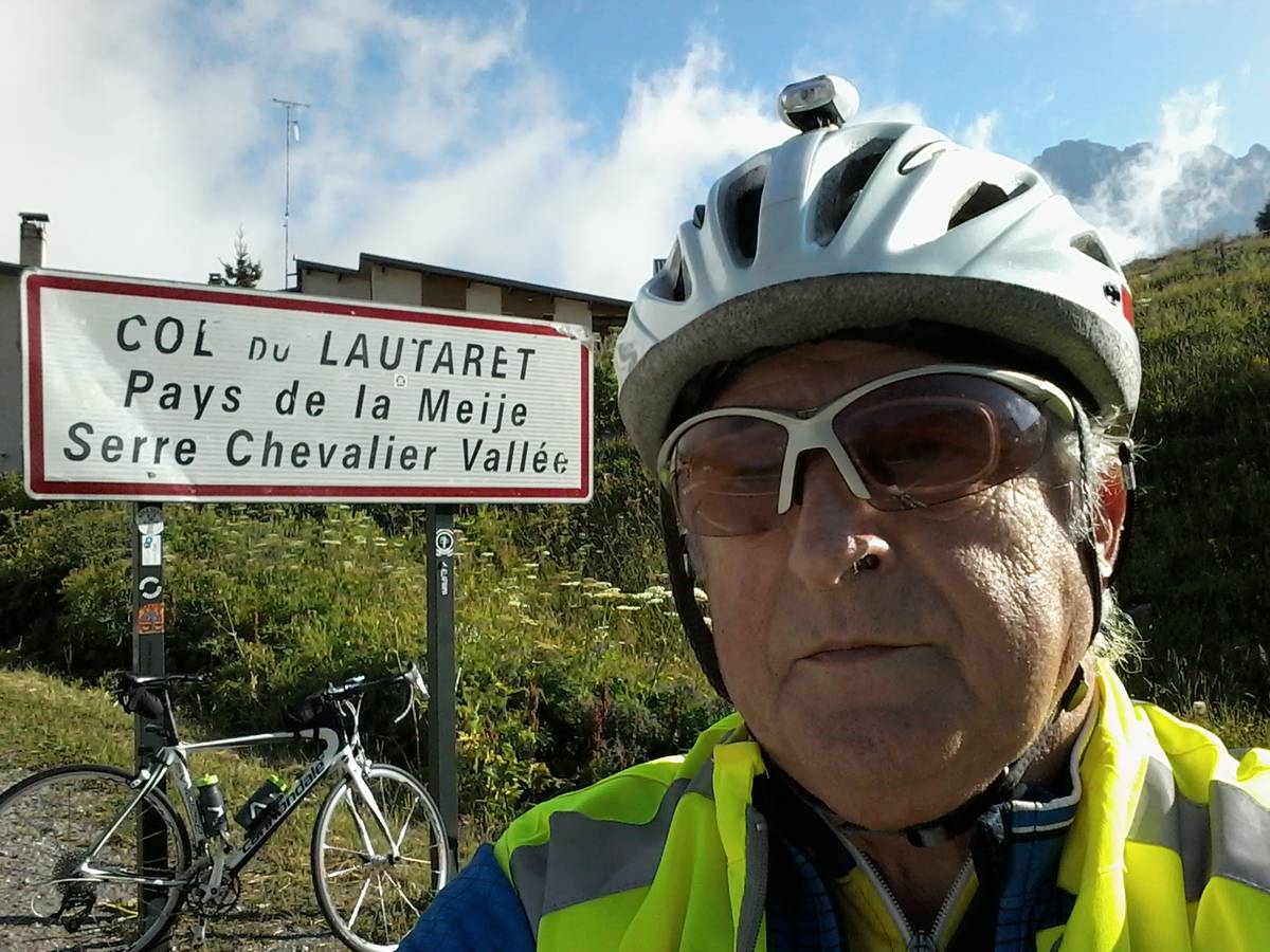
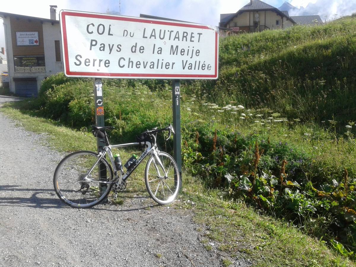
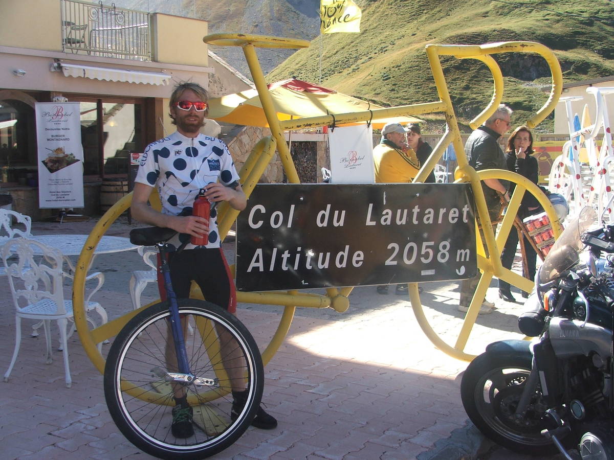
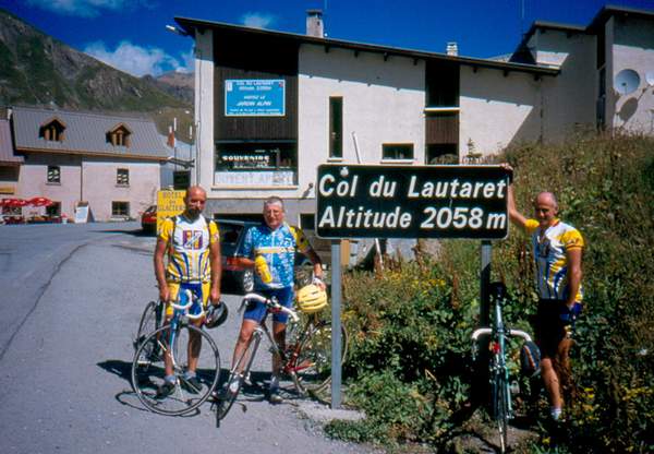
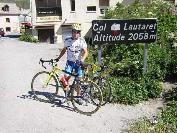
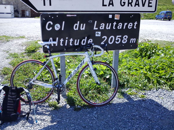
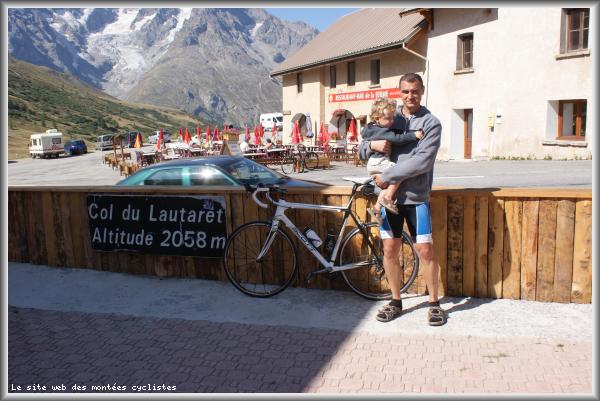
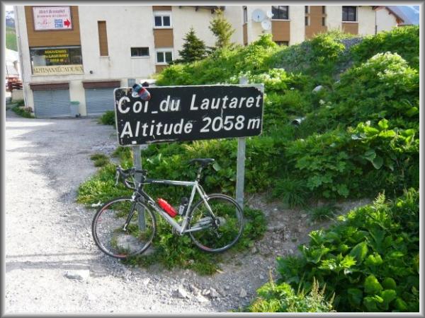
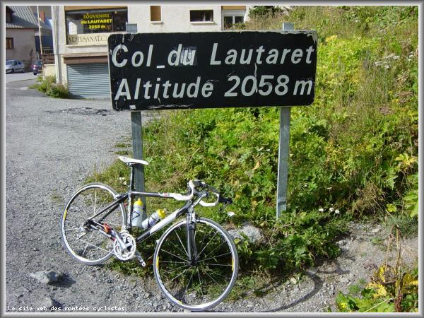
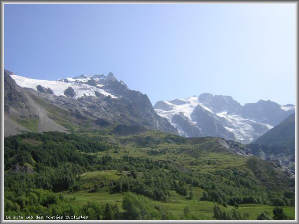
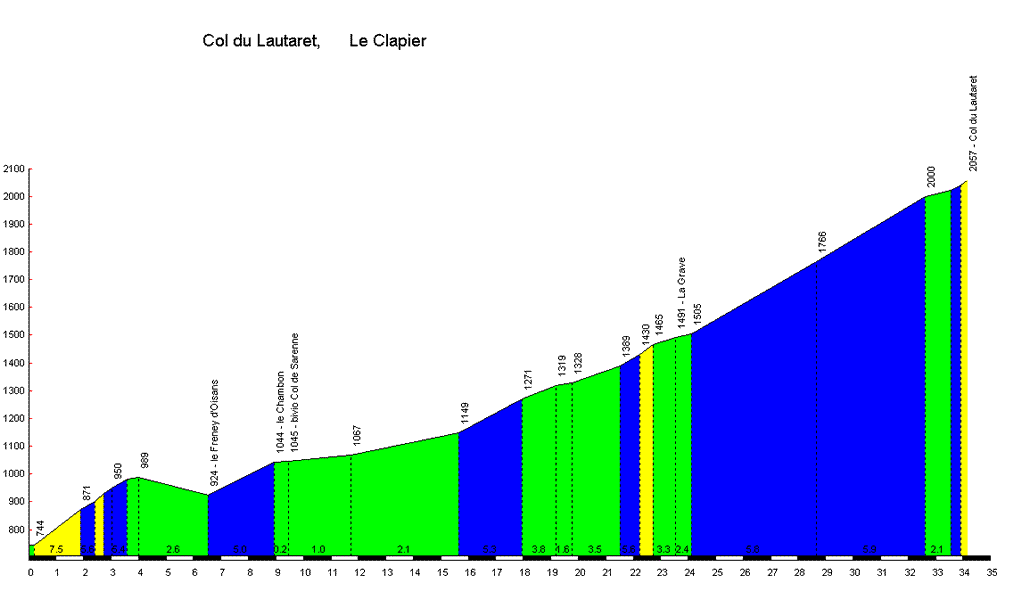
| Name : | Col du Lautaret |
| Altitude : | 2057 m |
| Opening : |  Ouvert Ouvert |
| Start : | Le Clapier |
| Length : | 34.10 km |
| Elevation gain : | 1312 m |
| % Avg : | 3.85% |
| % Max : | 8.1% |
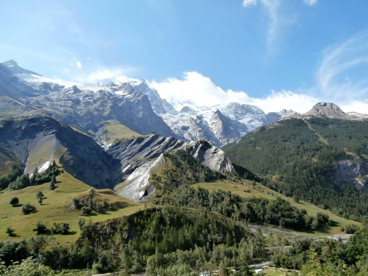
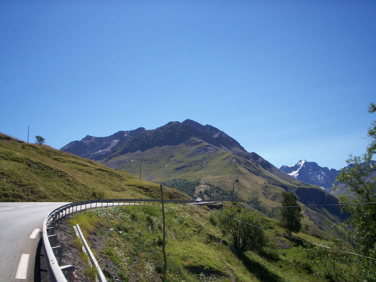
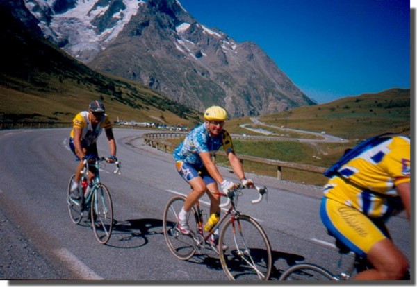
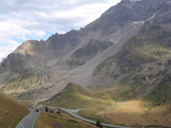
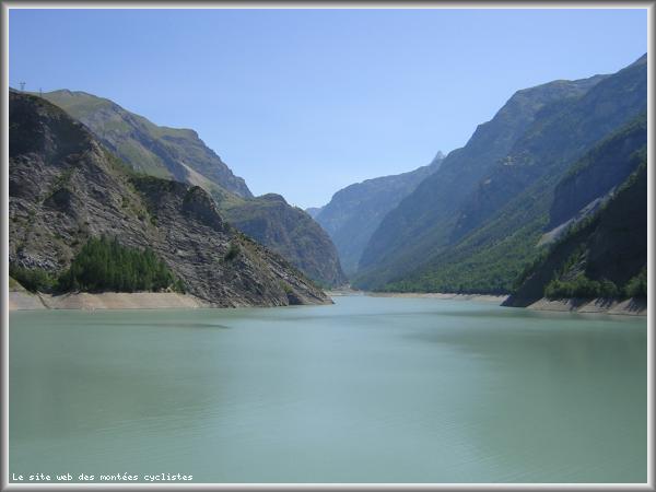
| Mountain range : | Arves and Grandes Rousses, France |
There's other climb of this summit
Map
Profile
 Ascents reserved for cyclists