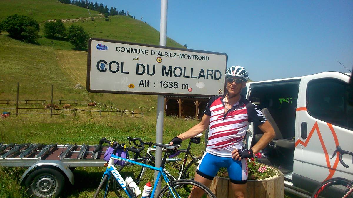
Information
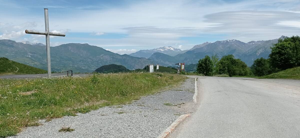
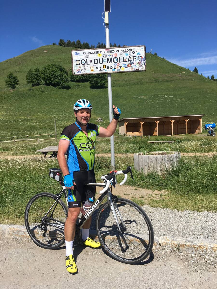
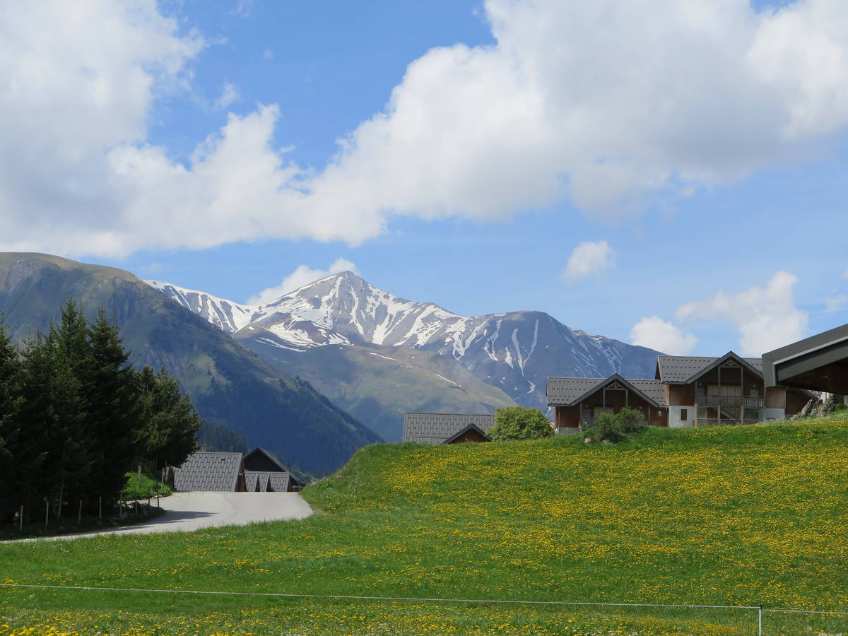
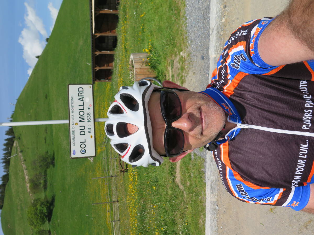
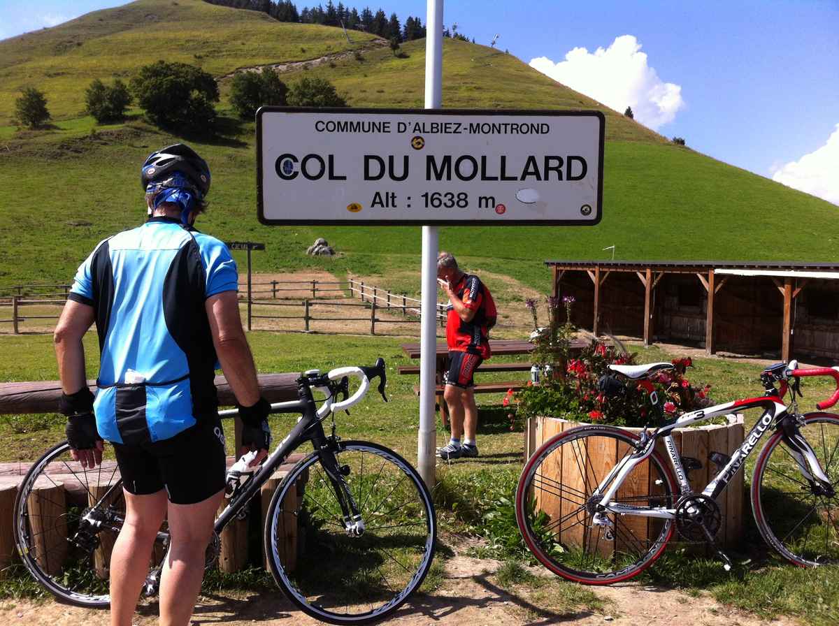
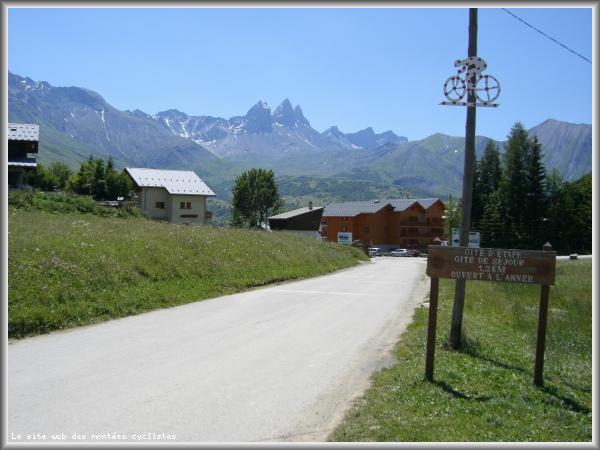
| Name : | Col du Mollard |
| Altitude : | 1630 m |
| Opening : |  Ouvert Ouvert |
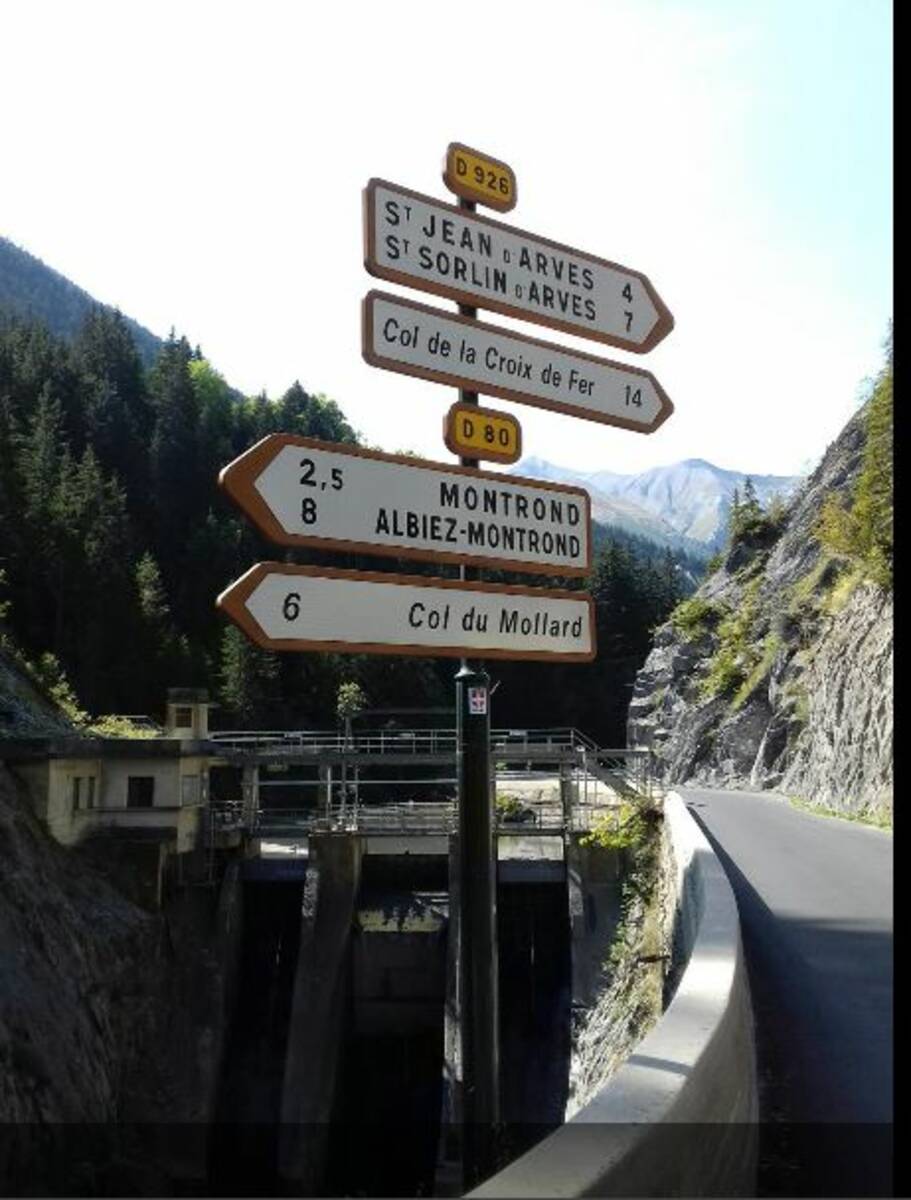
| Start : | Pont de Belleville |
| Length : | 6.00 km |
| Elevation gain : | 413 m |
| % Avg : | 6.88% |
| % Max : | 11.0% |
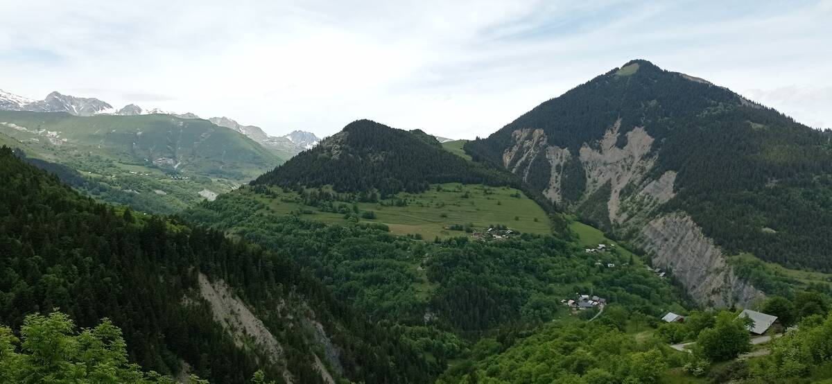
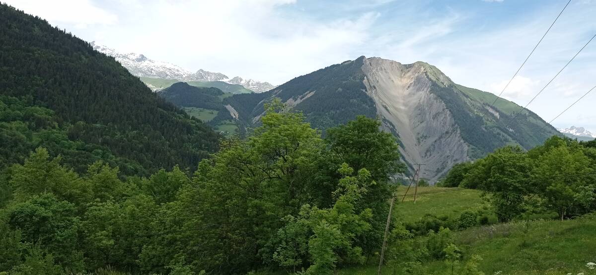
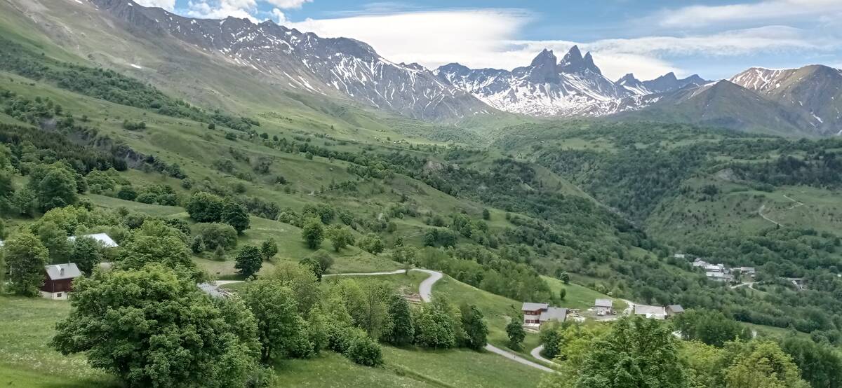
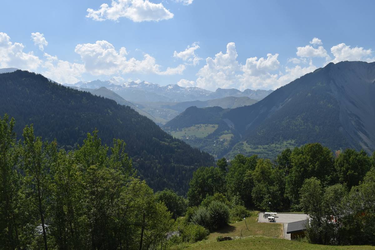
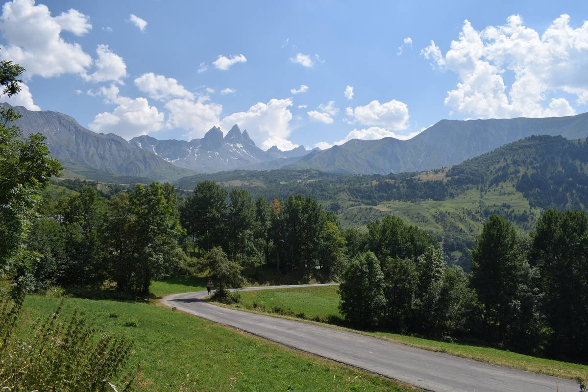
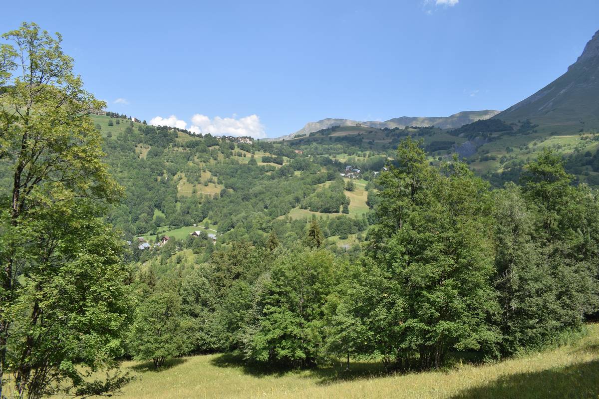
| Mountain range : | Arves and Grandes Rousses, France |
There's other climb of this summit
Map
Profile

 Ascents reserved for cyclists