Information
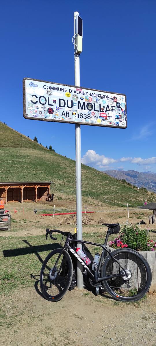
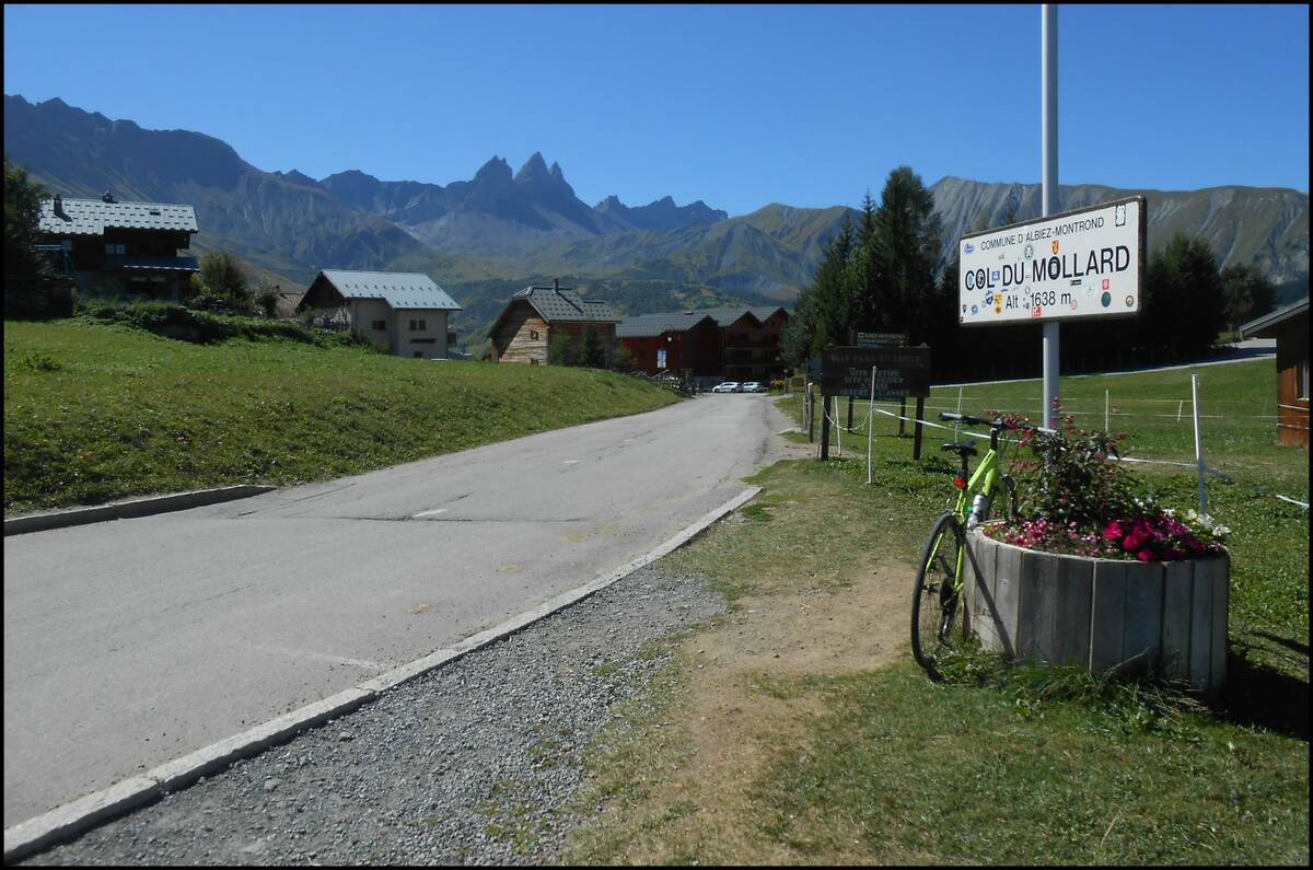
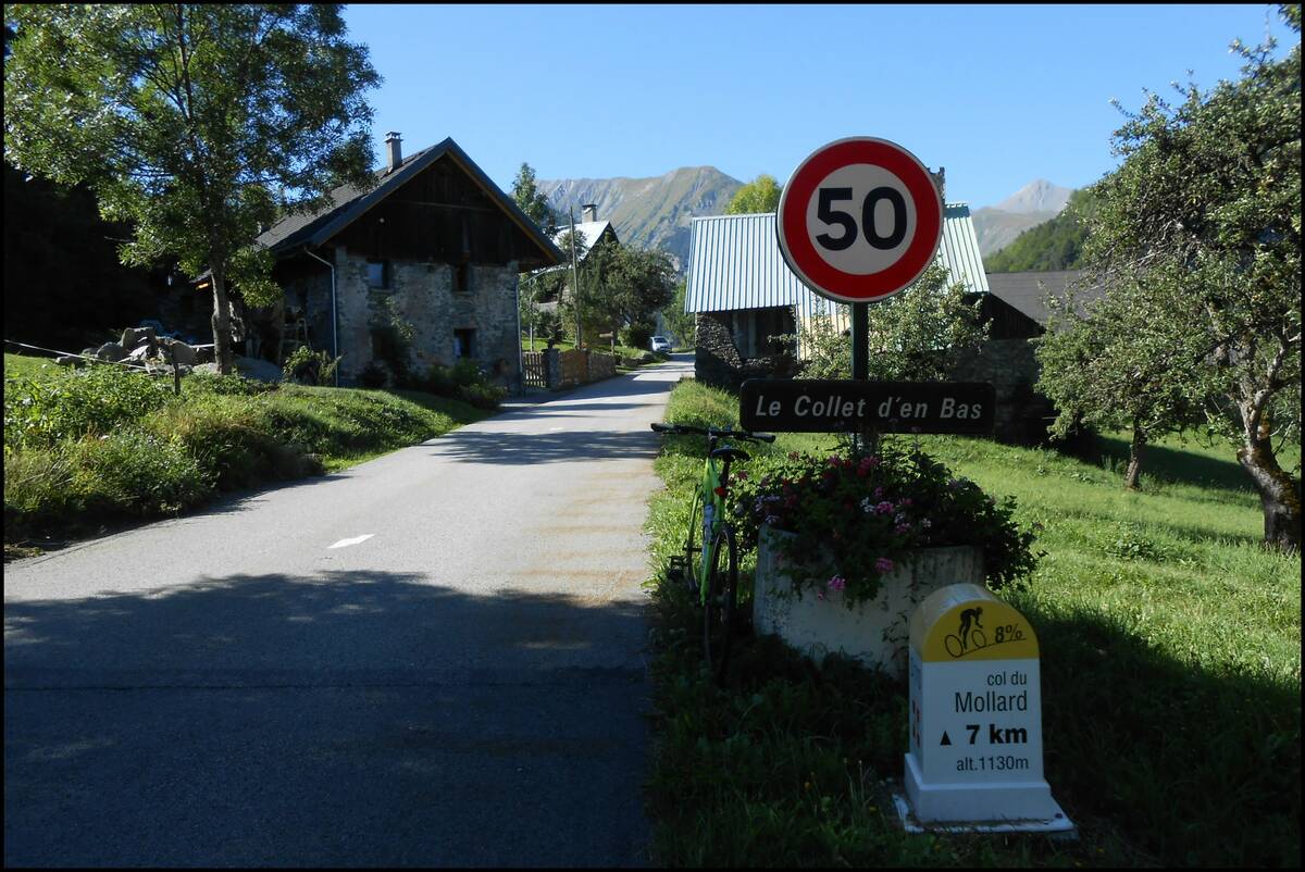
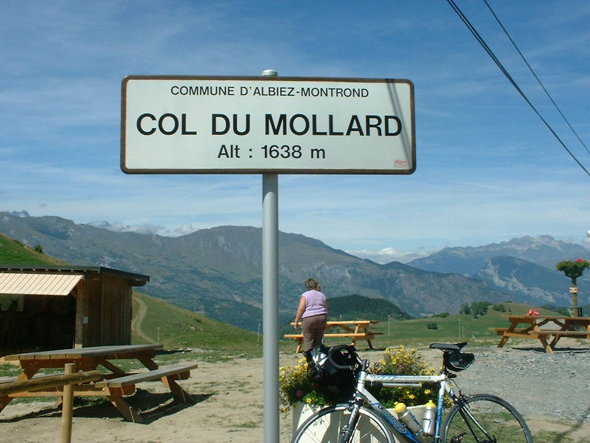
| Name : | Col du Mollard |
| Altitude : | 1630 m |
| Opening : |  Ouvert Ouvert |
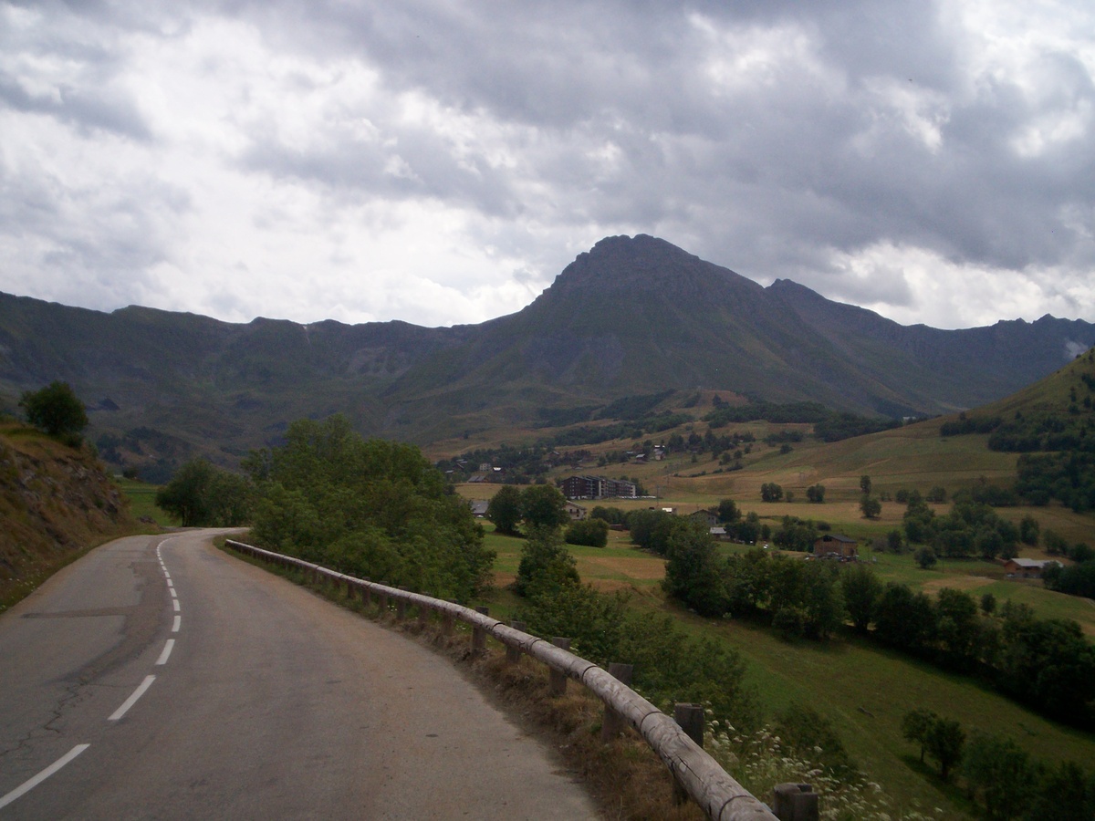
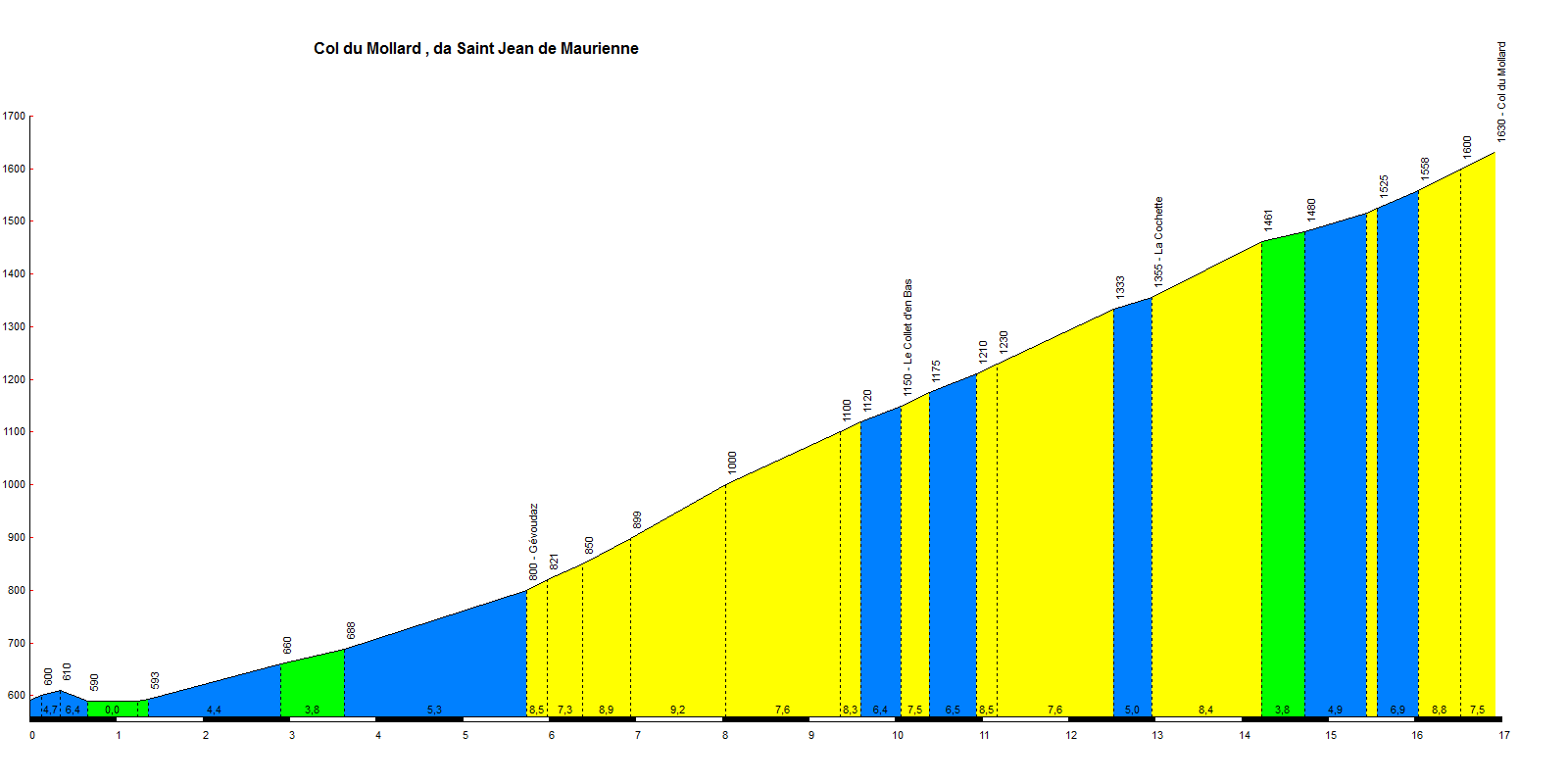
| Start : | Saint Jean de Maurienne |
| Length : | 16.93 km |
| Elevation gain : | 1038 m |
| % Avg : | 6.13% |
| % Max : | 9.2% |
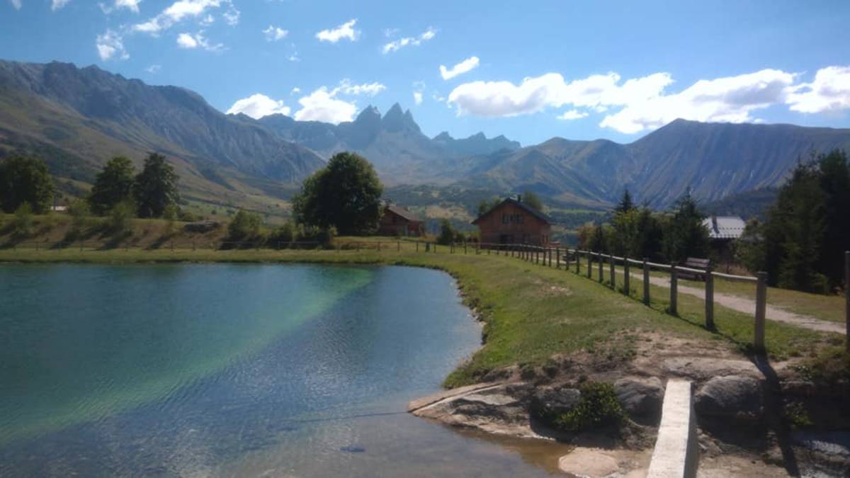
| Mountain range : | Arves and Grandes Rousses, France |
There's other climb of this summit
Map
Profile
 This climb is reserved for cyclists on 01/07/2019 :