Information
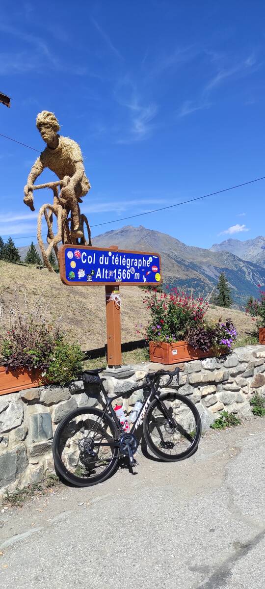
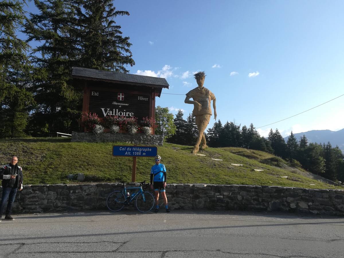
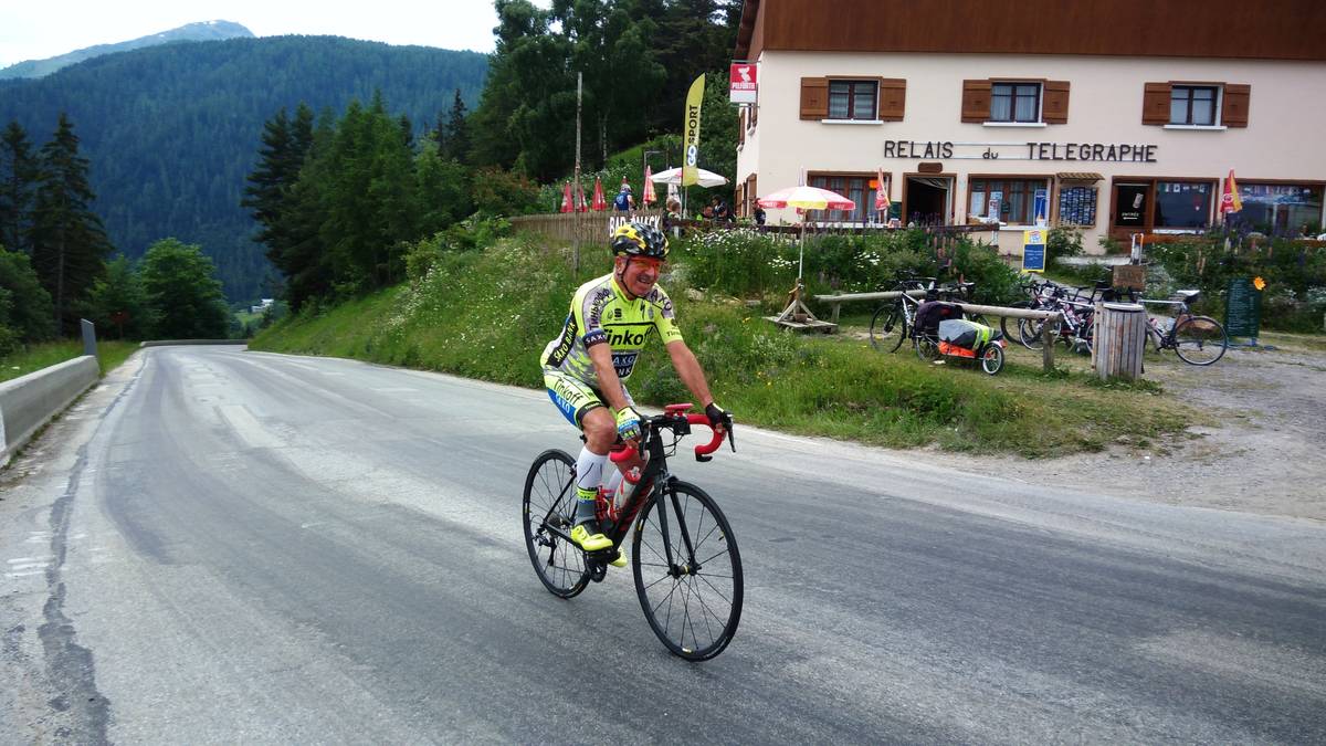
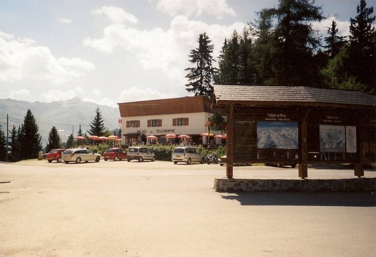
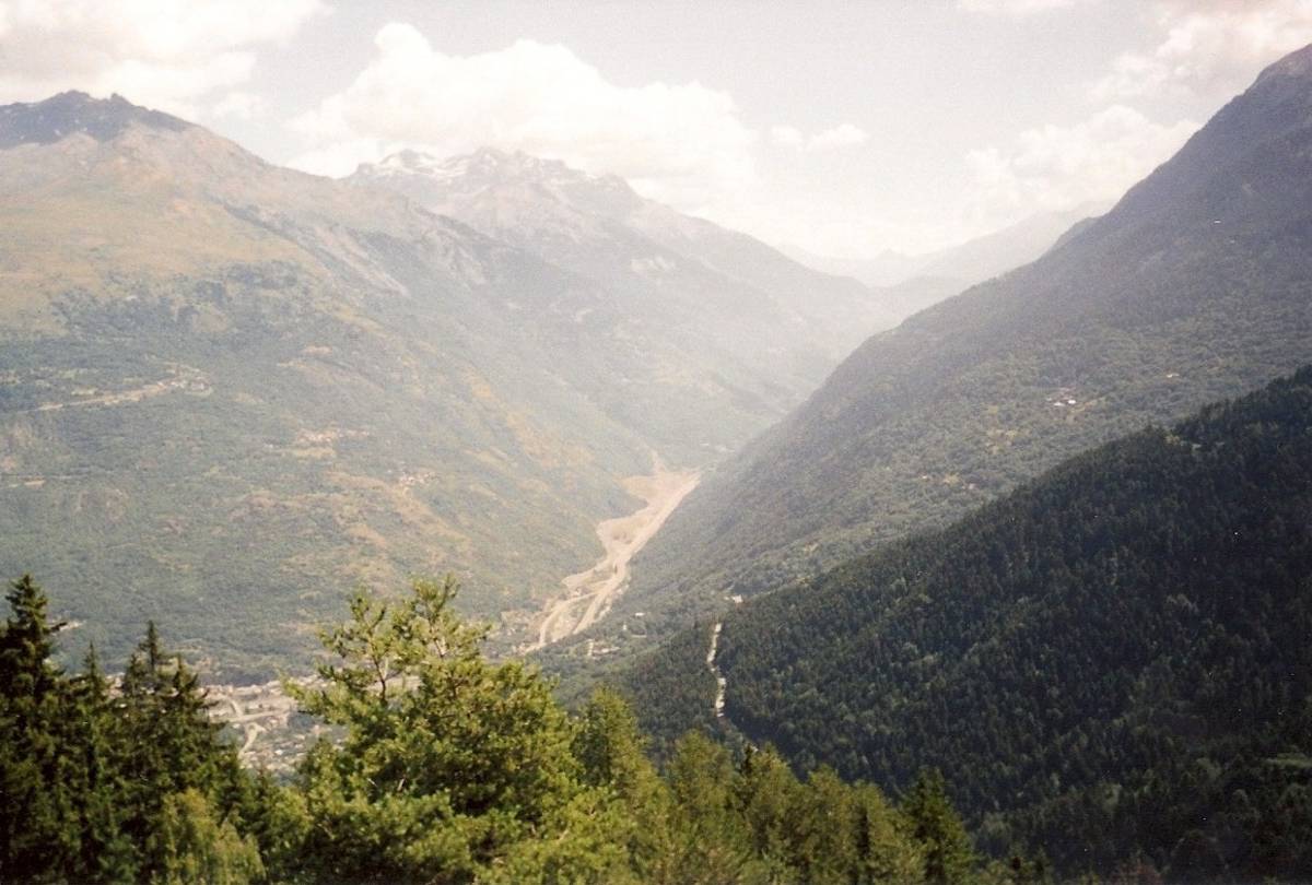
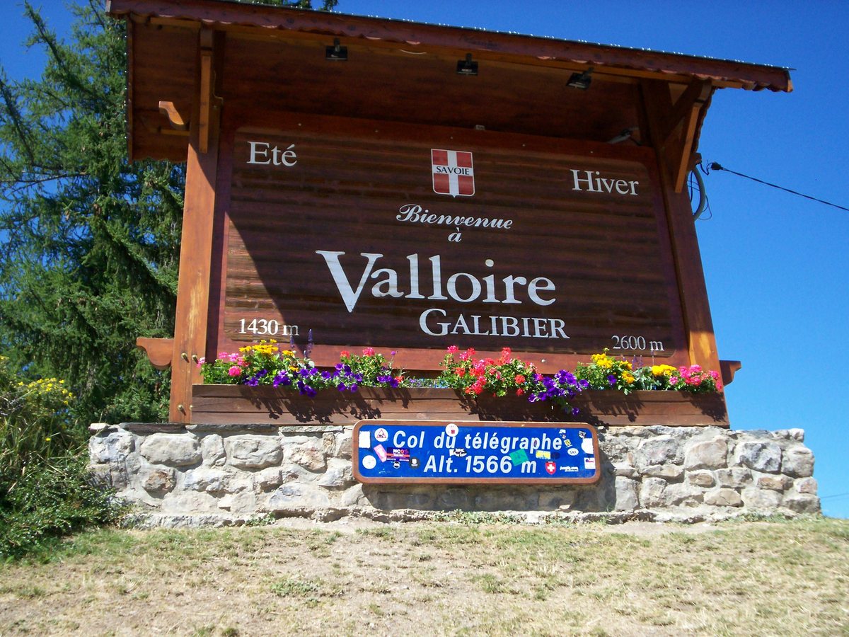
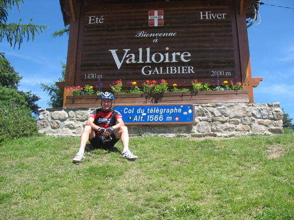
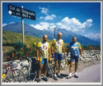
| Name : | Col du Télégraphe |
| Altitude : | 1566 m |
| Opening : |  Ouvert Ouvert |
| Start : | Valloire |
| Length : | 4.70 km |
| Elevation gain : | 156 m |
| % Avg : | 3.32% |
| % Max : | 6.0% |
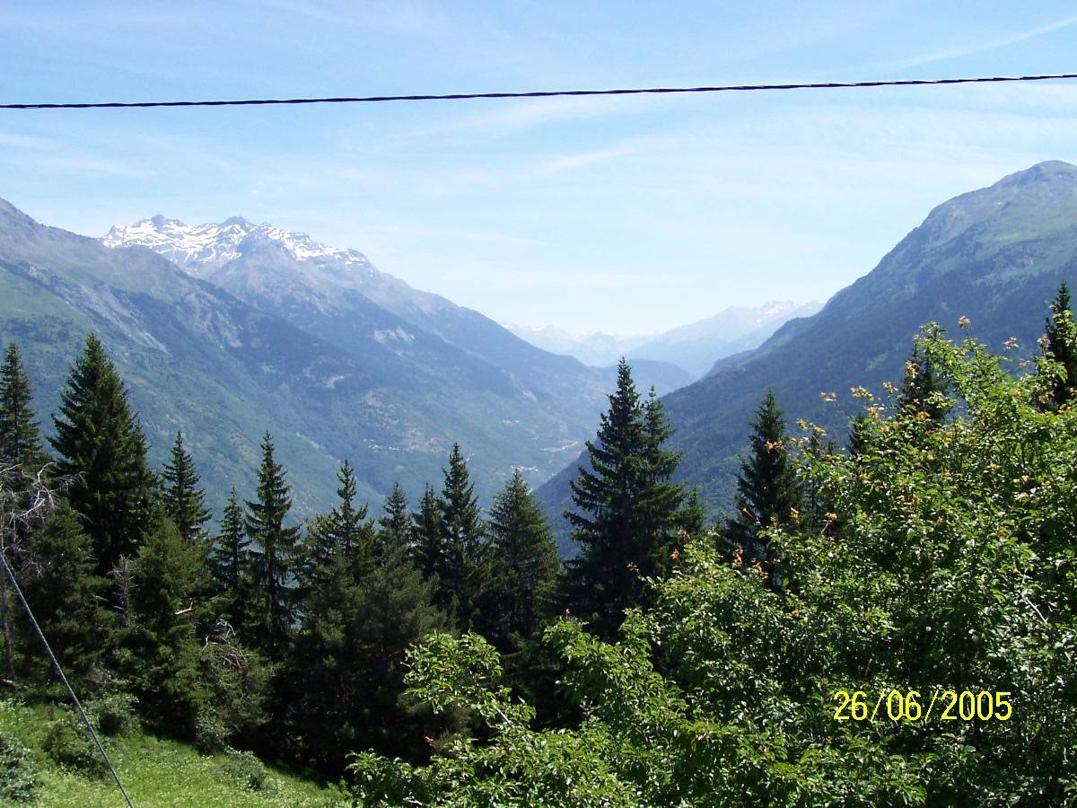
| Mountain range : | Arves and Grandes Rousses, France |
There's other climb of this summit
Map
Profile

 Ascents reserved for cyclists