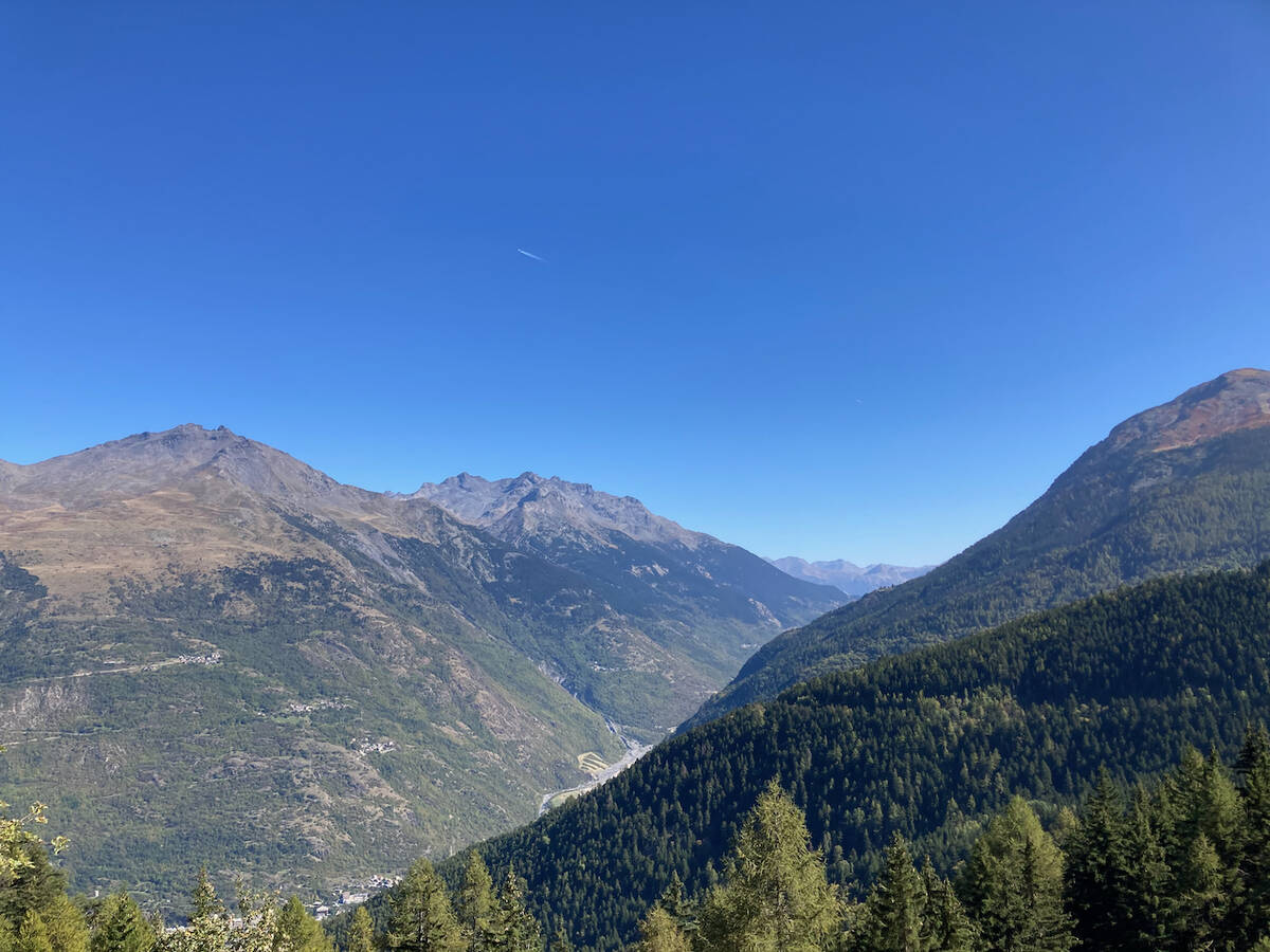
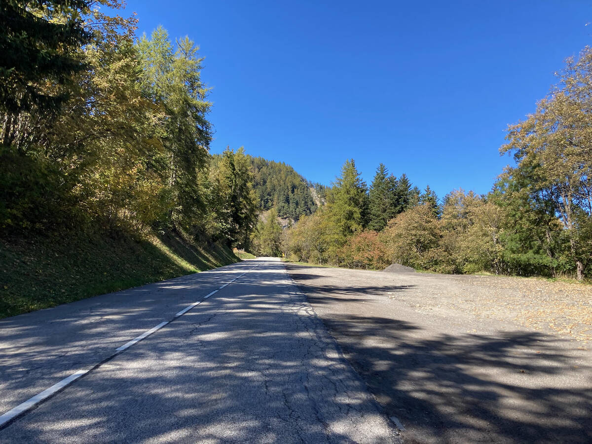
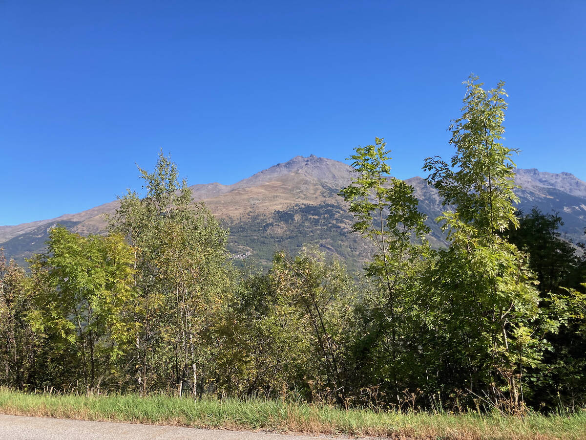
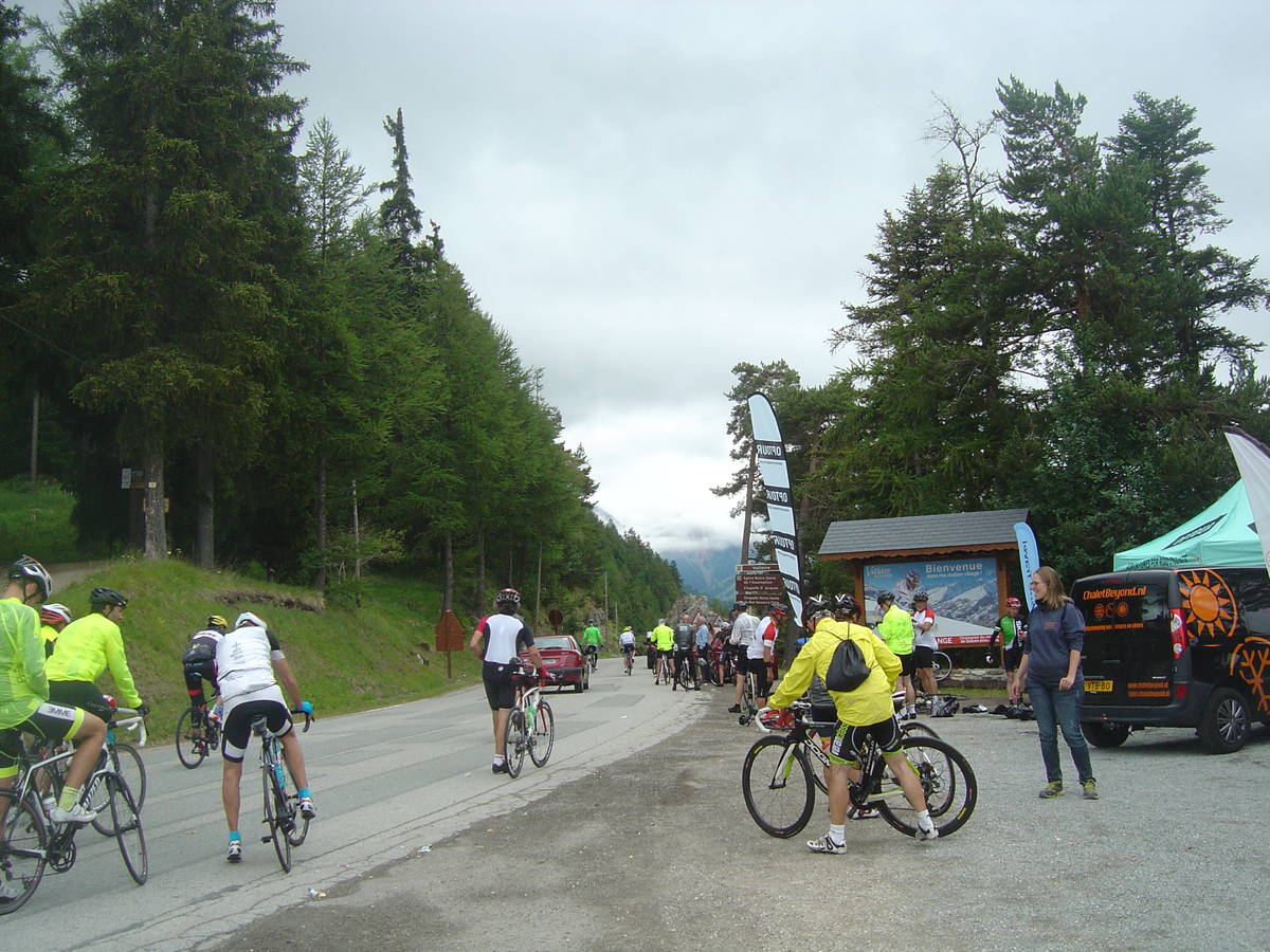
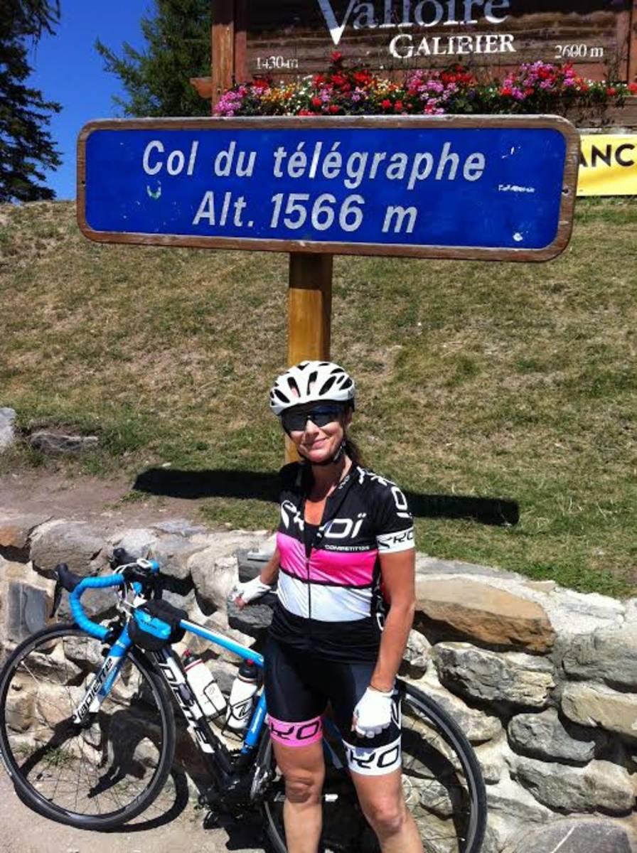
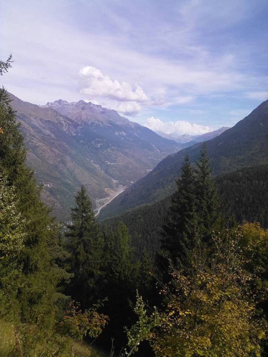
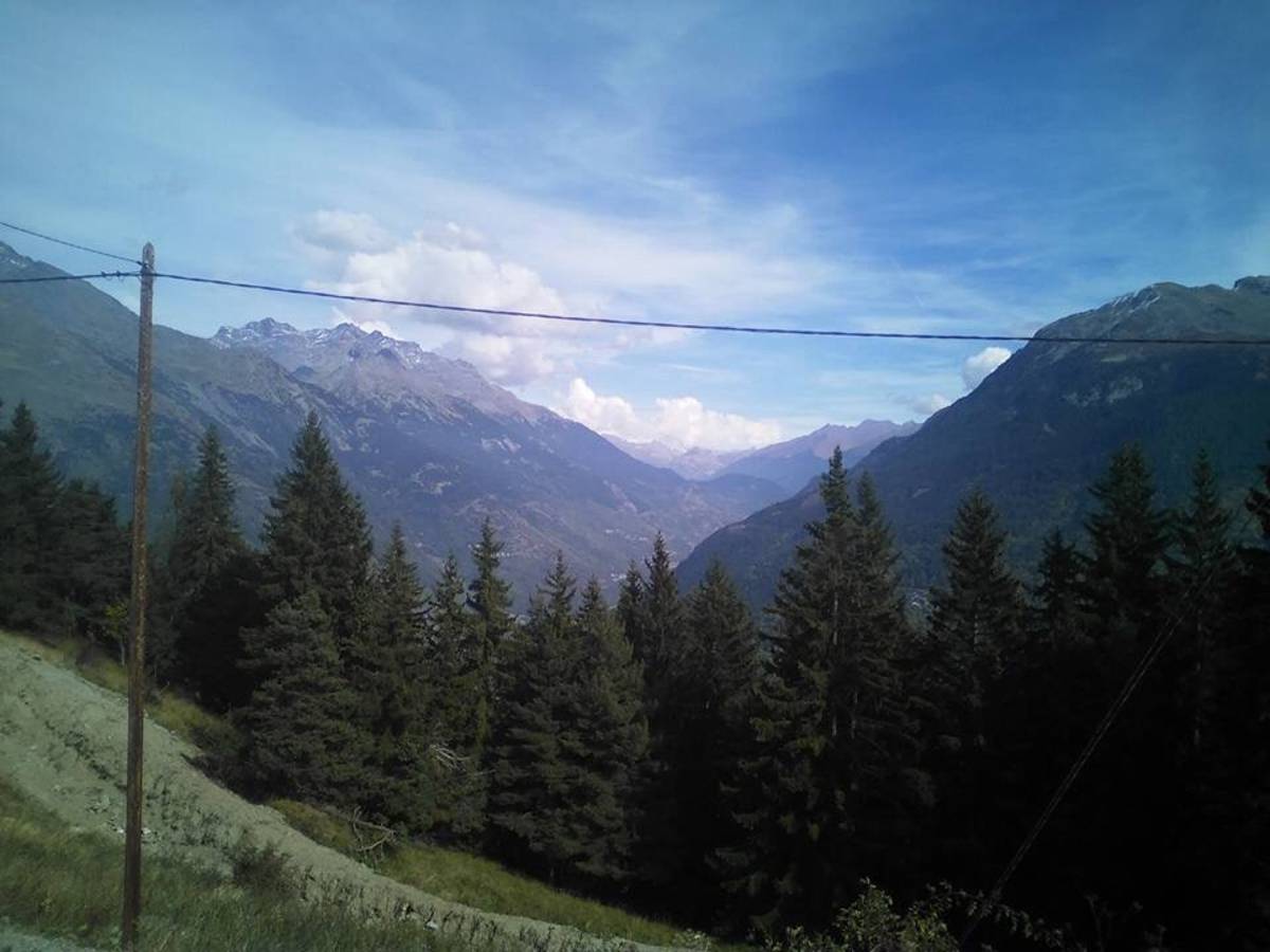
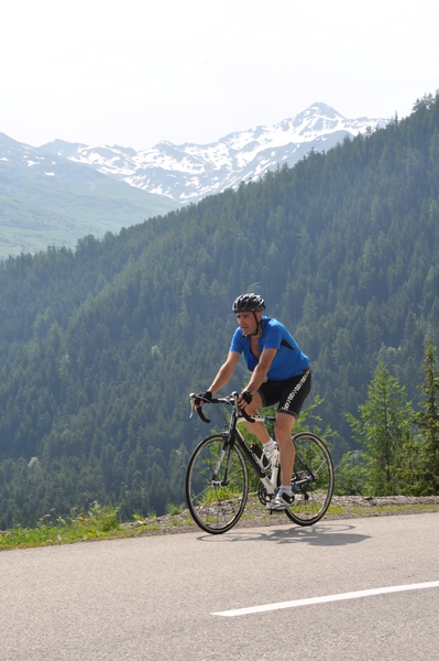
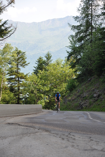
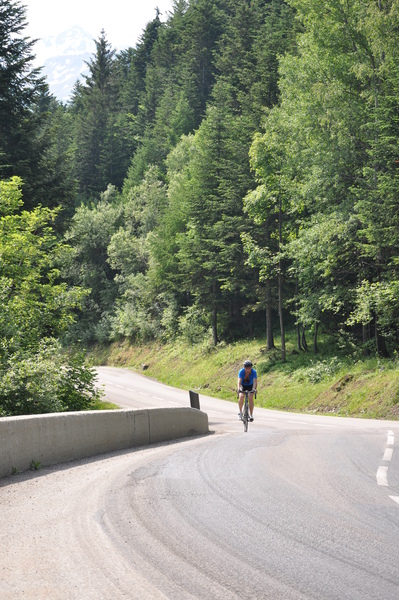
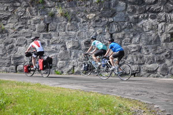
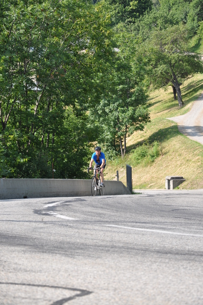
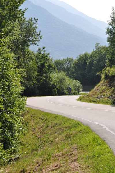
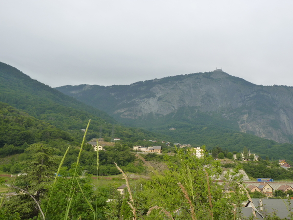
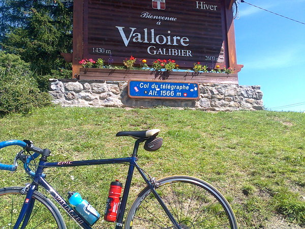
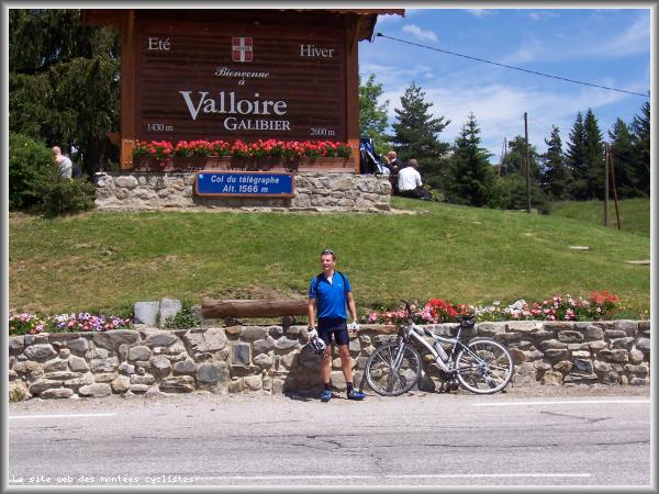
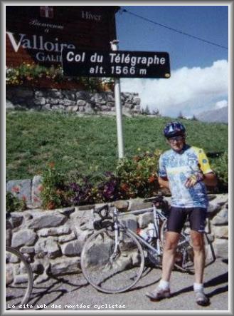
Information
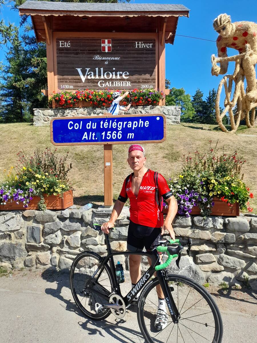
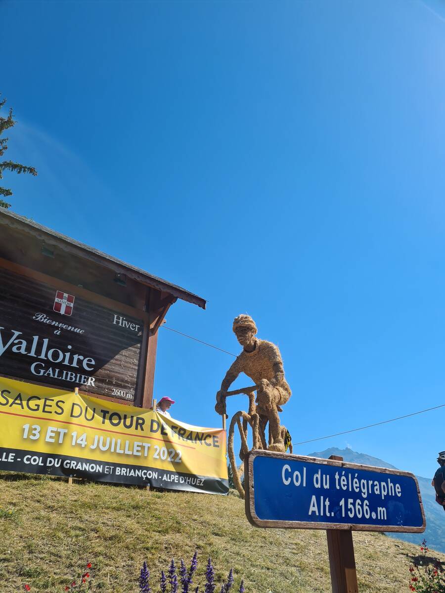
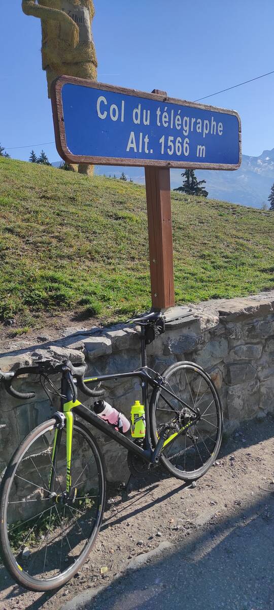
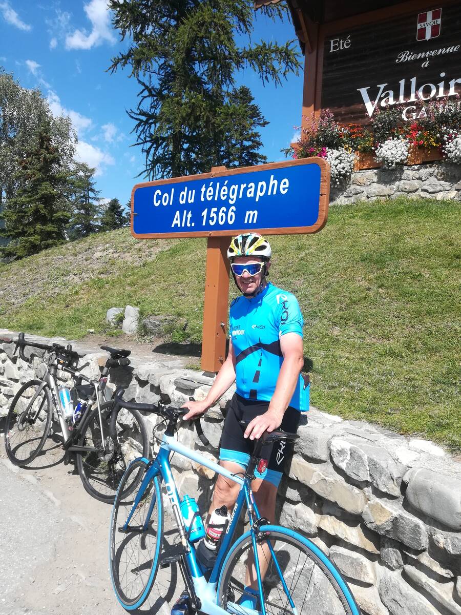
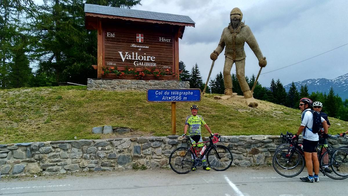
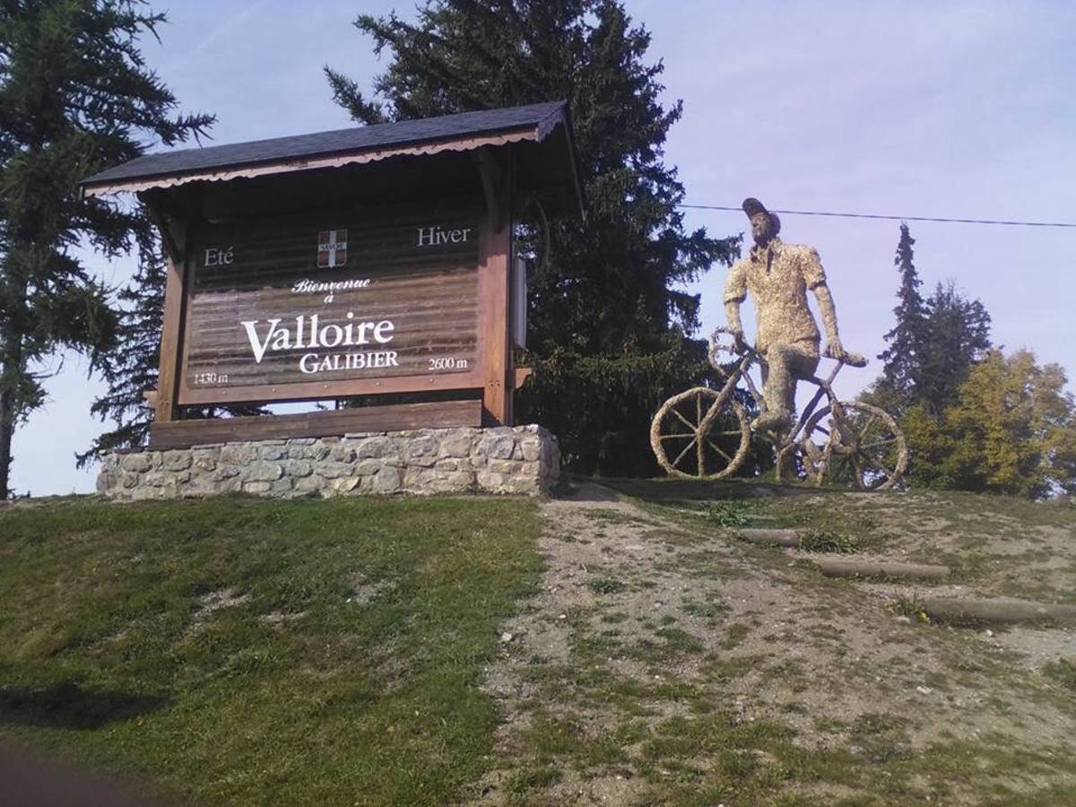
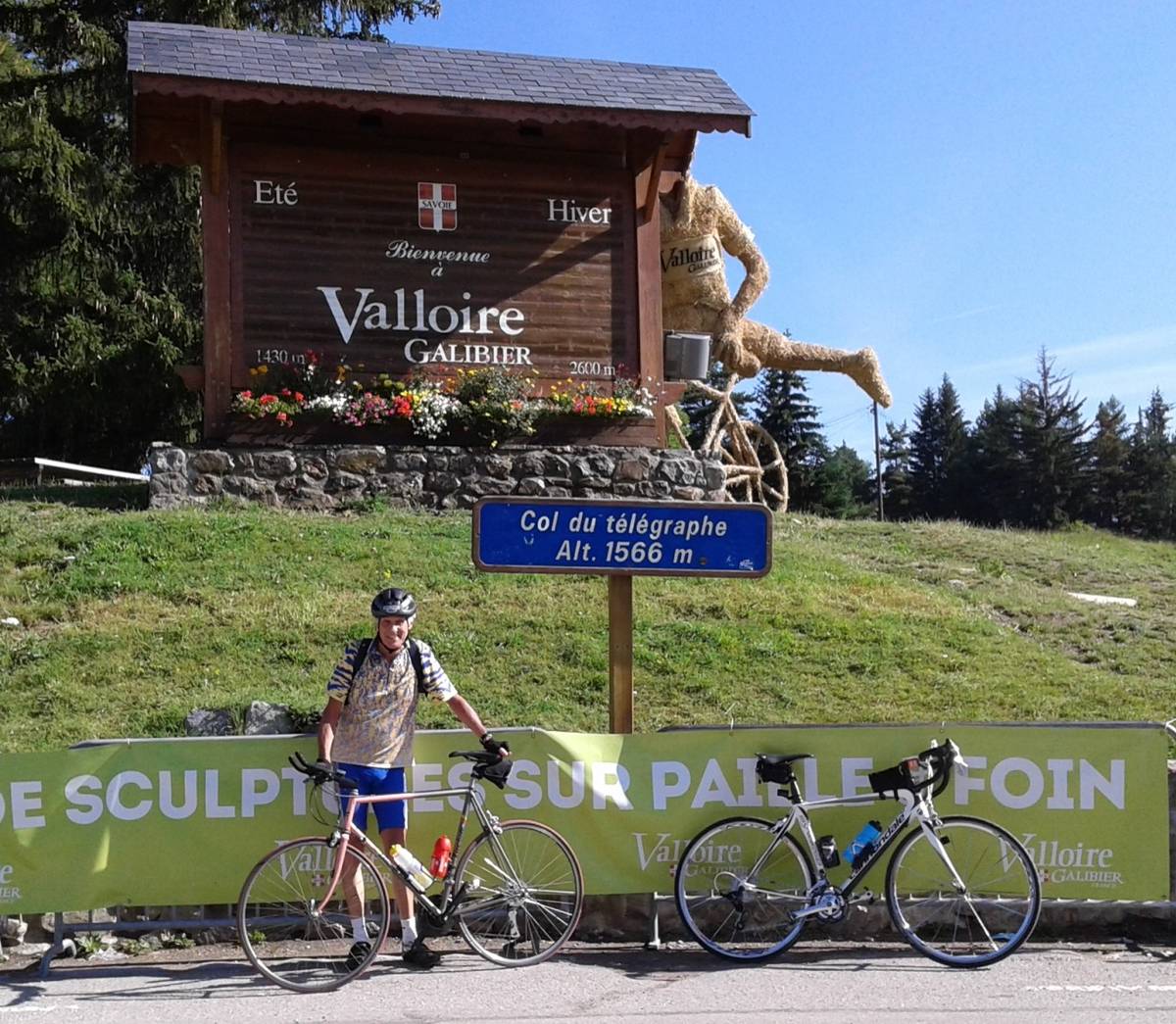
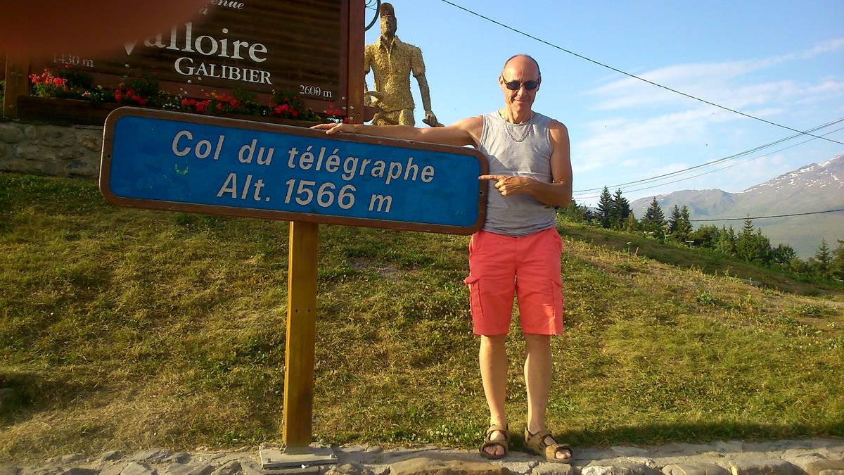
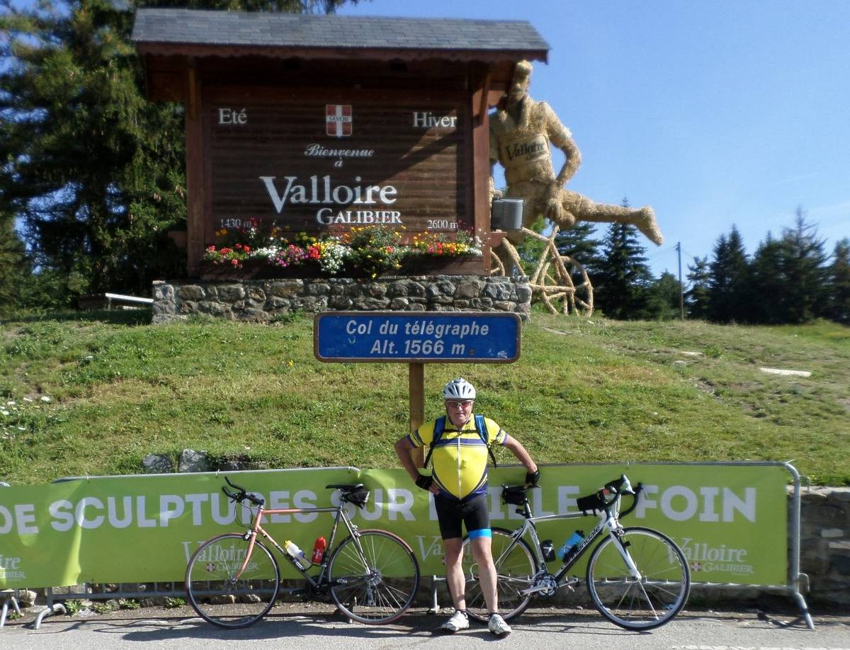
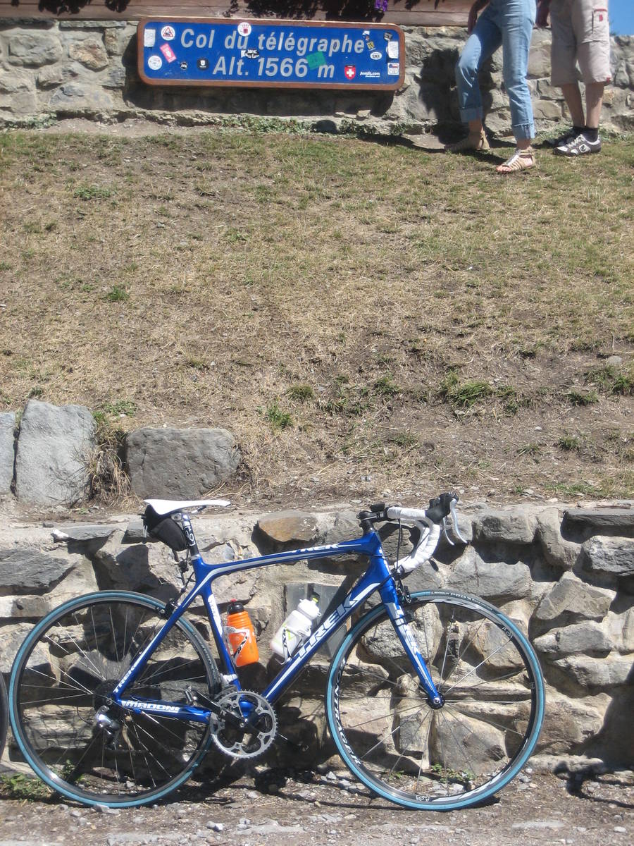
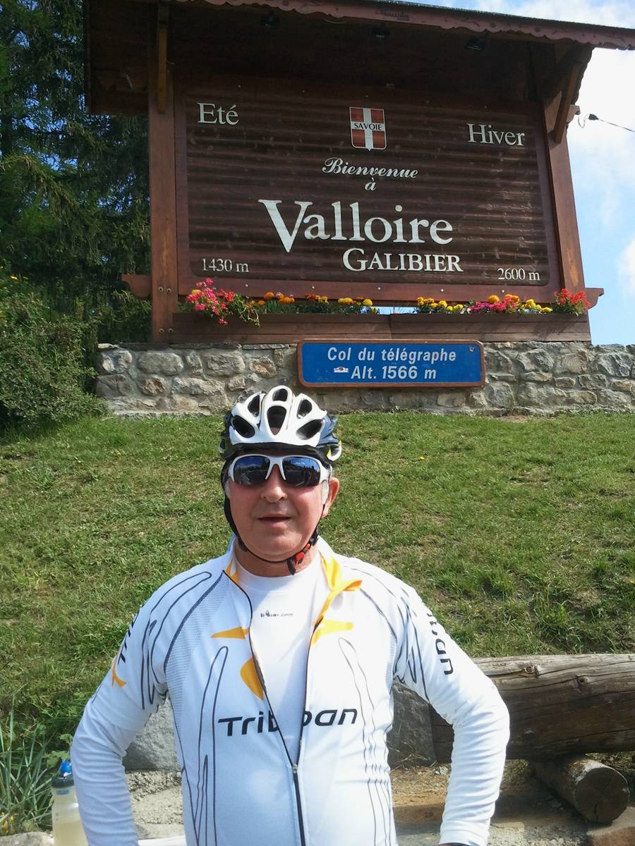
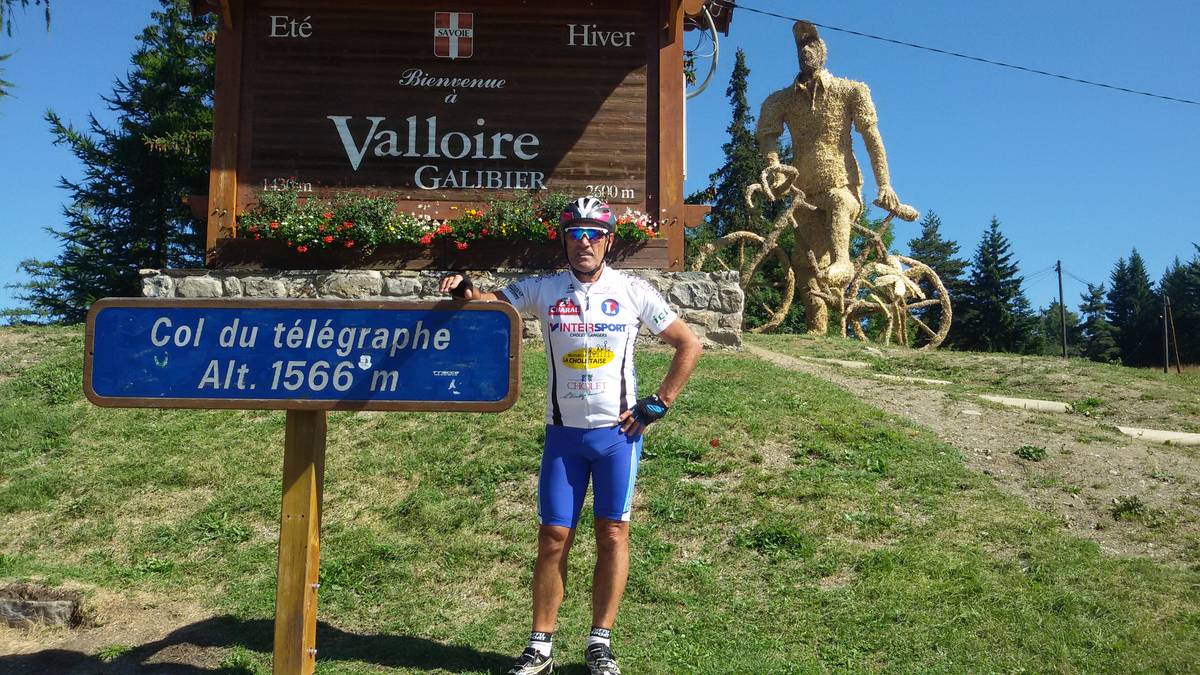
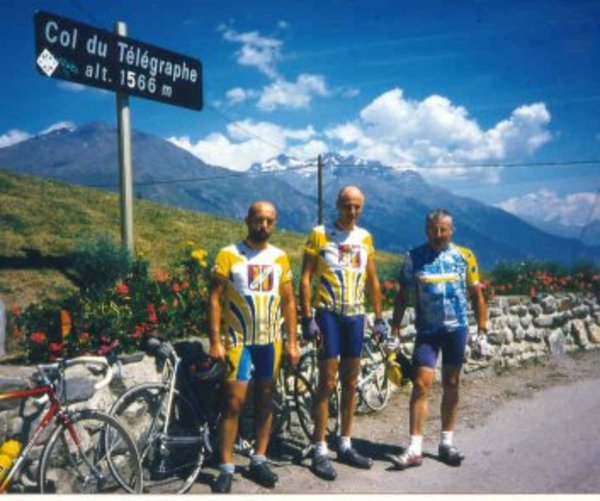
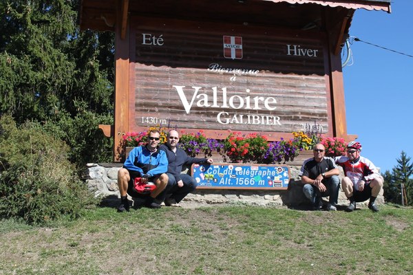
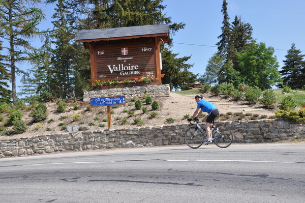
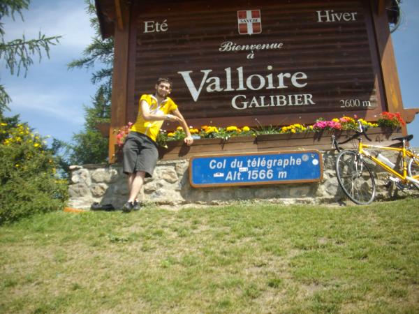
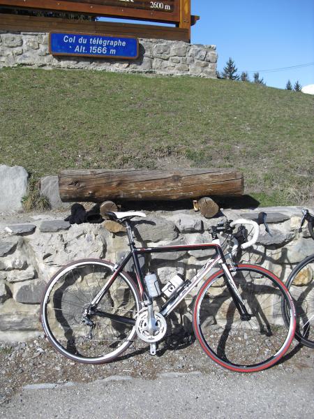
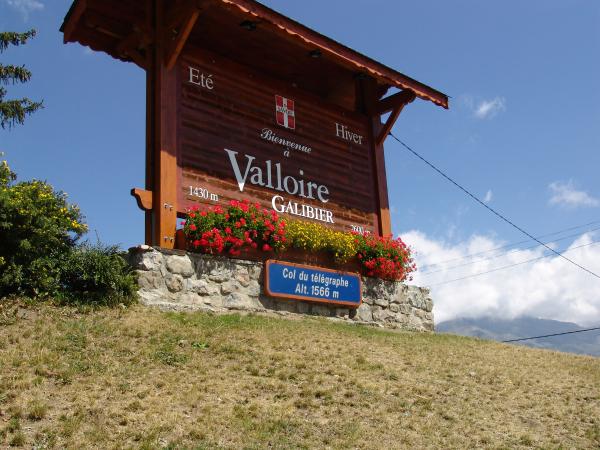
| Name : | Col du Télégraphe |
| Altitude : | 1566 m |
| Opening : |  Ouvert Ouvert |
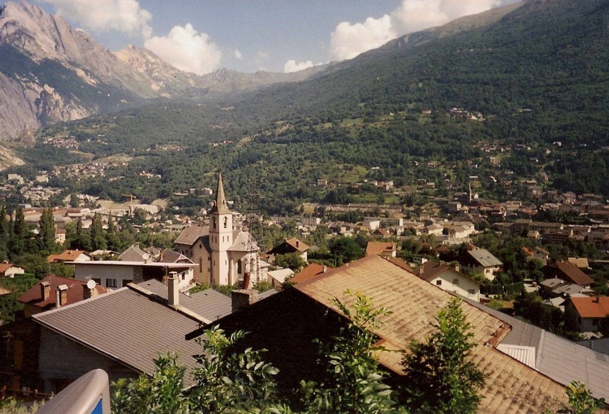
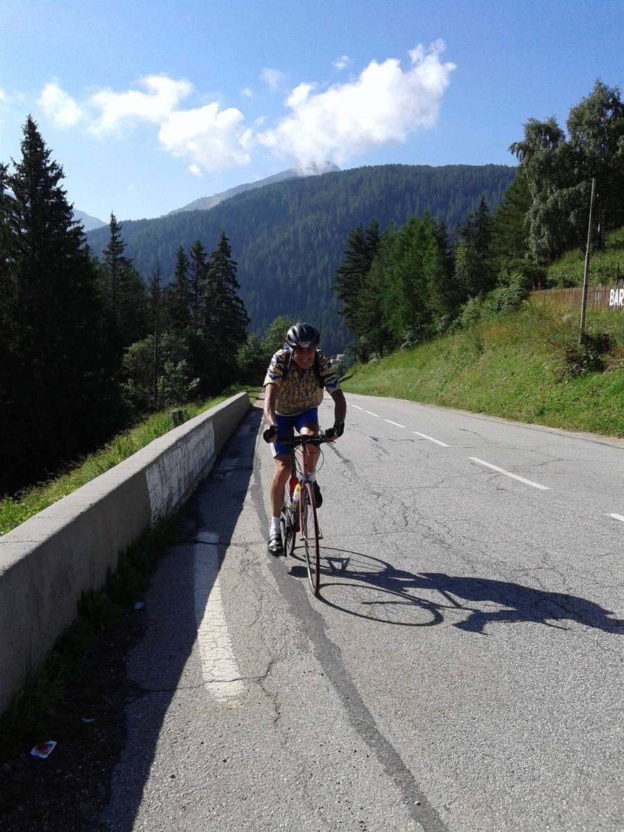
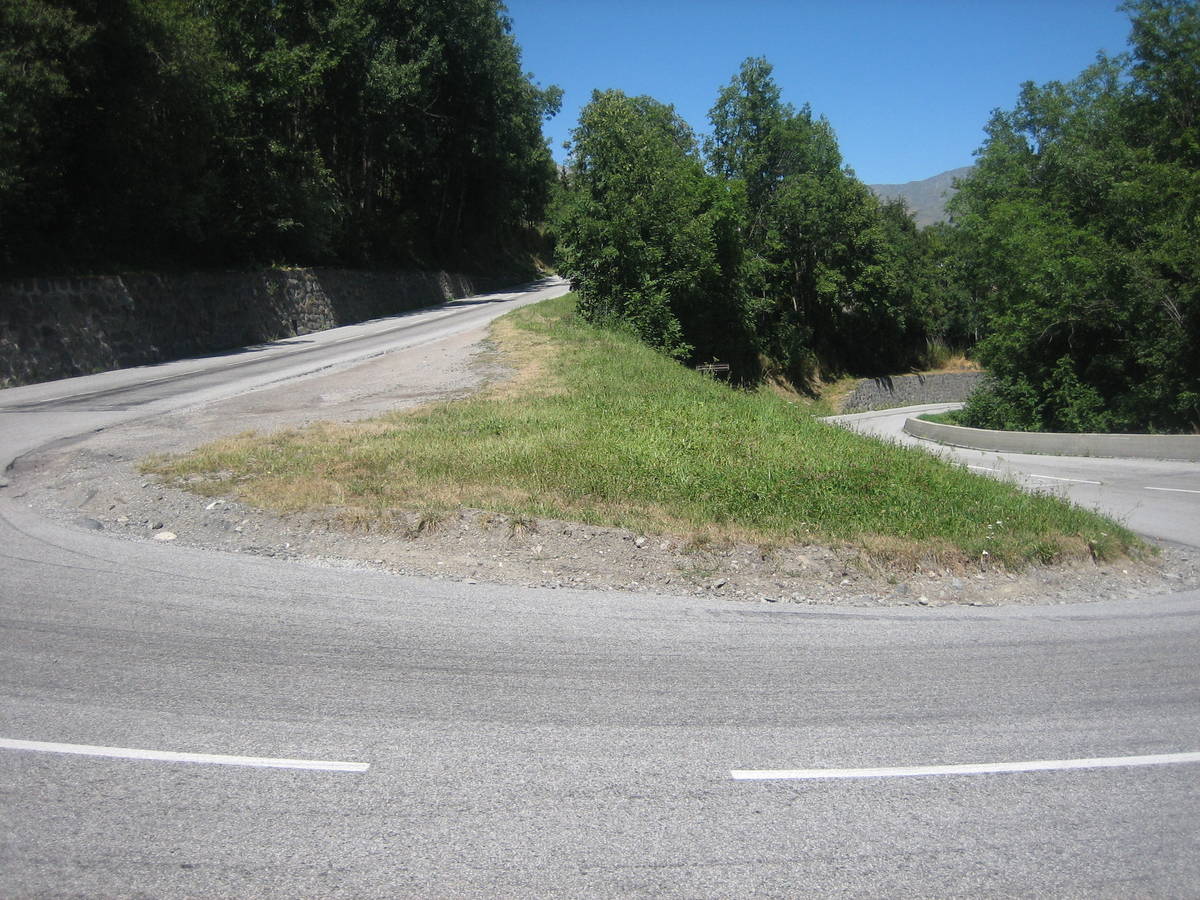
| Start : | Saint Michel de Maurienne |
| Length : | 11.80 km |
| Elevation gain : | 846 m |
| % Avg : | 7.17% |
| % Max : | 9.8% |
| Mountain range : | Arves and Grandes Rousses, France |
There's other climb of this summit
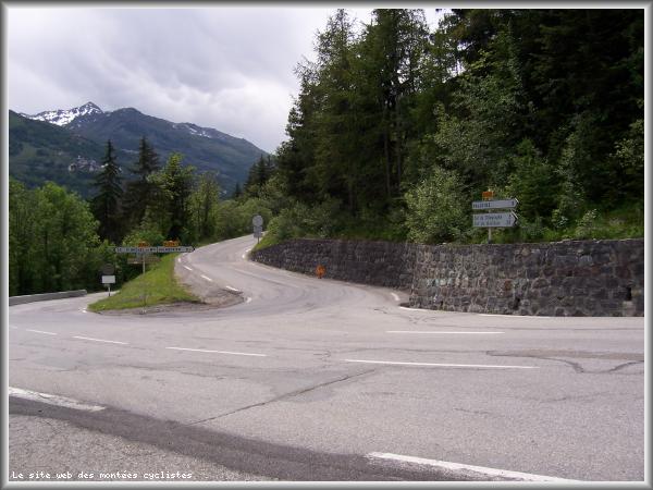
Map
Profile

 Ascents reserved for cyclists