Information
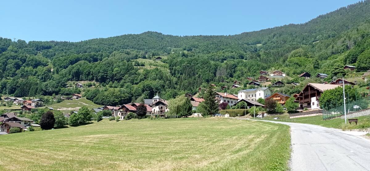
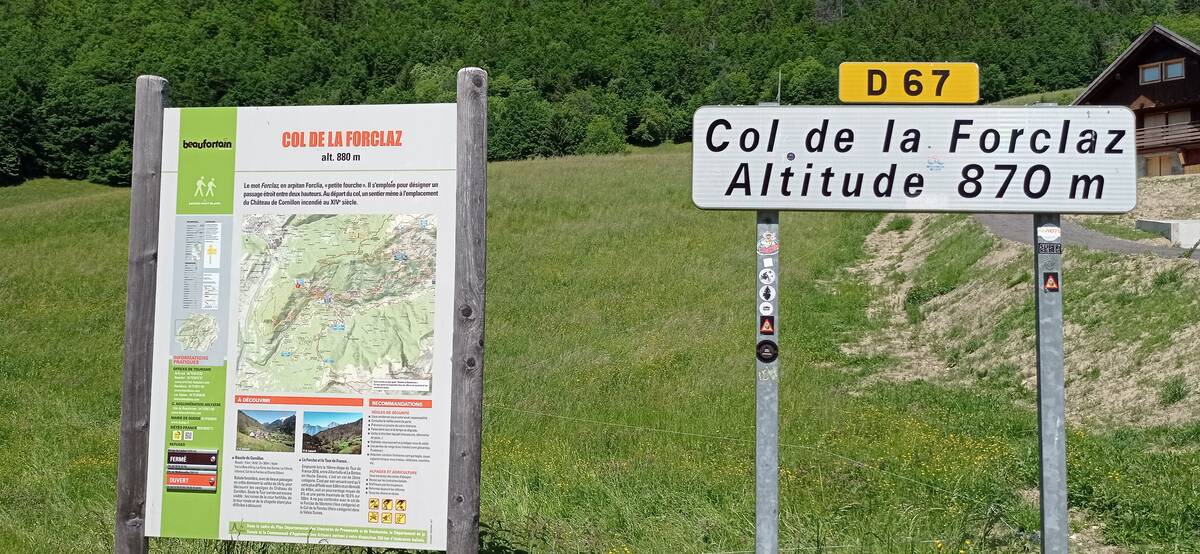
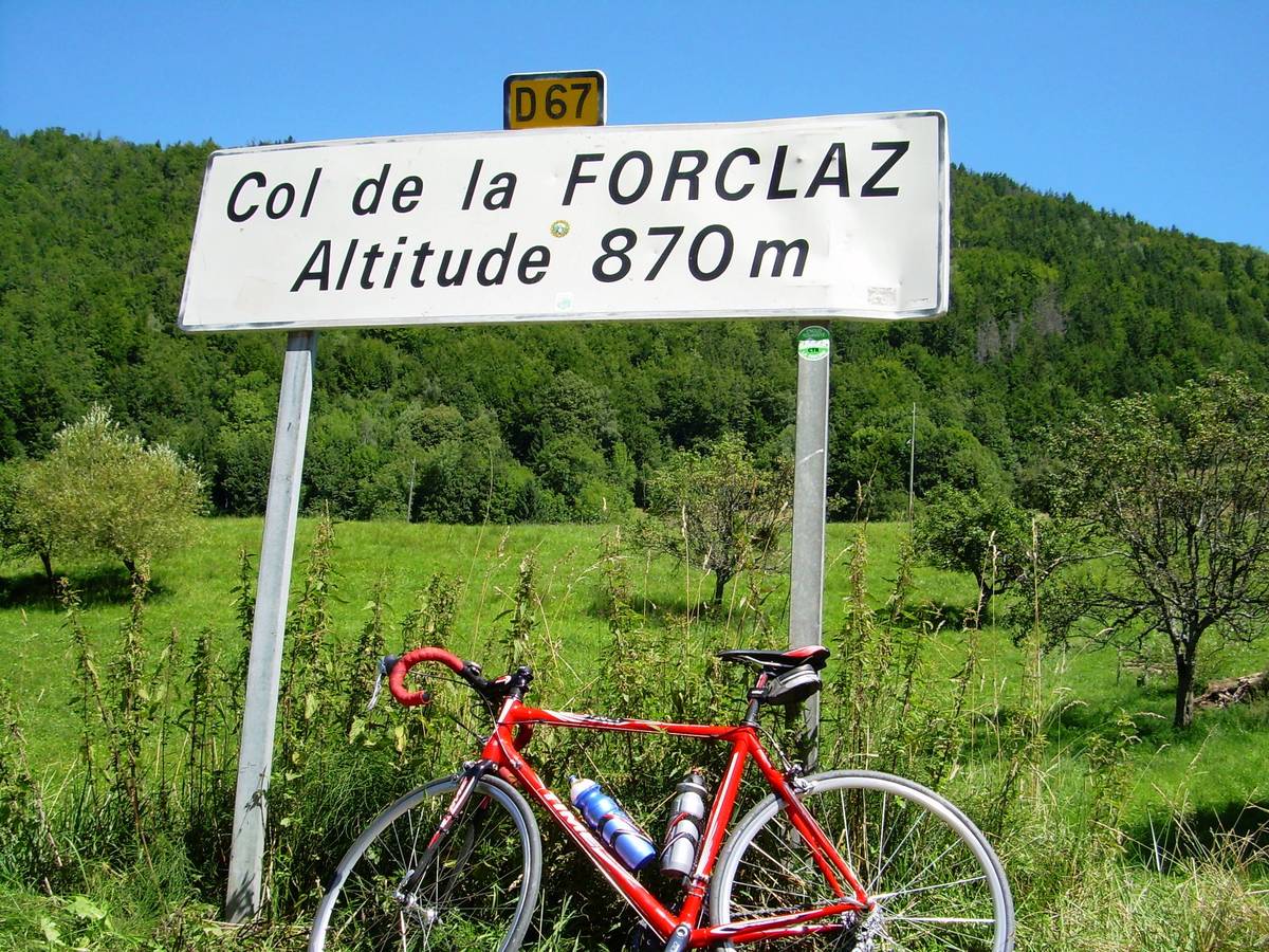
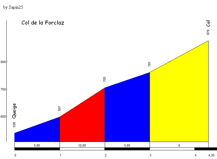
| Name : | Col de la Forclaz de Queige |
| Altitude : | 871 m |
| Opening : |  Ouvert Ouvert |
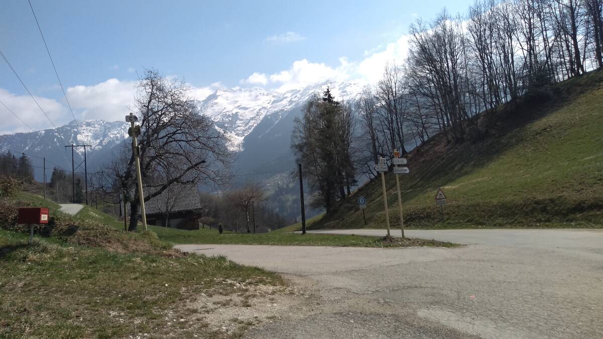
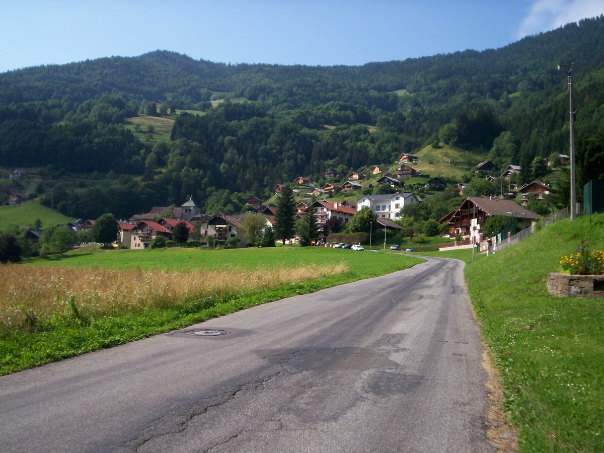
| Start : | Queige |
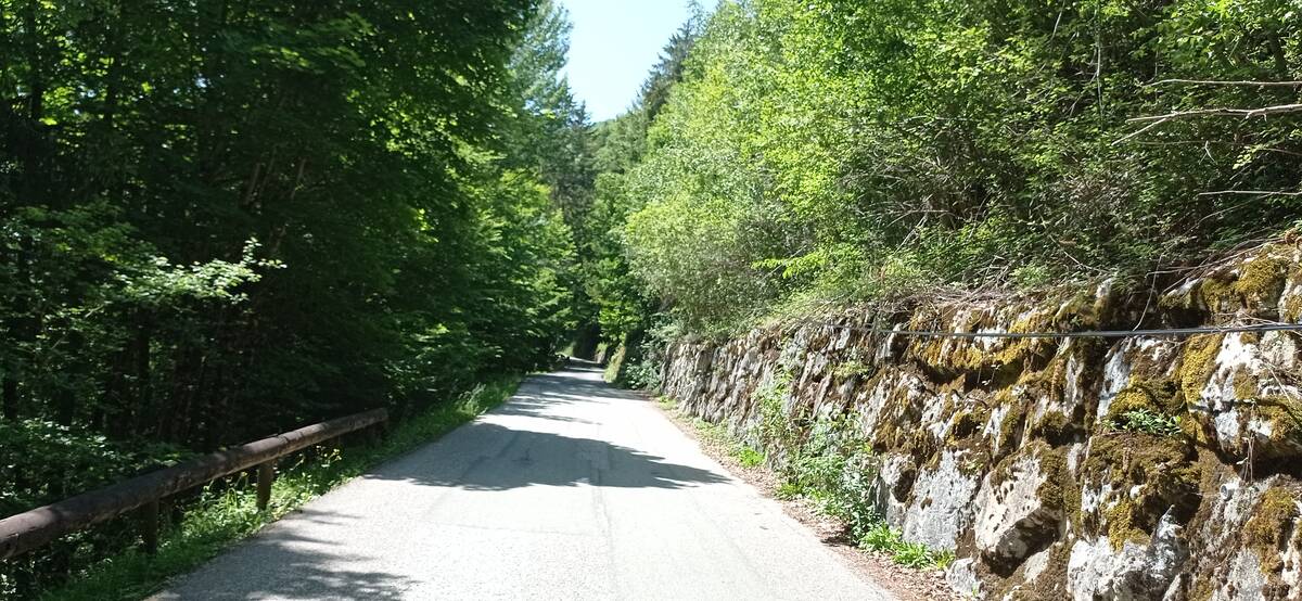
| Length : | 4.70 km |
| Elevation gain : | 374 m |
| % Avg : | 7.96% |
| % Max : | 11.7% |
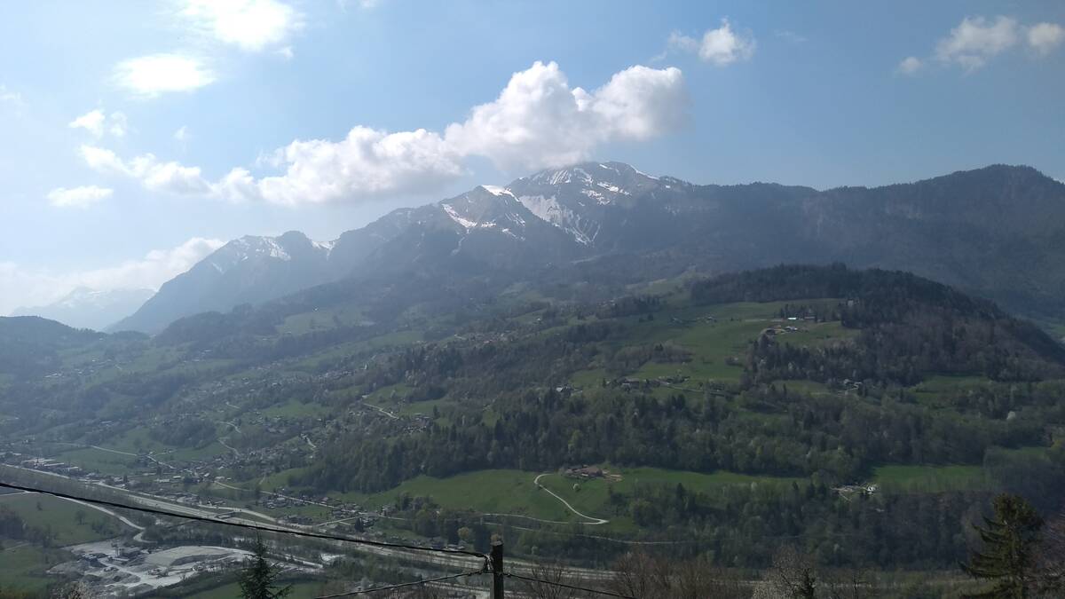
| Mountain range : | Beaufortain, France |
There's other climb of this summit
Map
Profile
 Ascents reserved for cyclists