Information
Map
Profile
Login or Create your account
Full video
Analyse
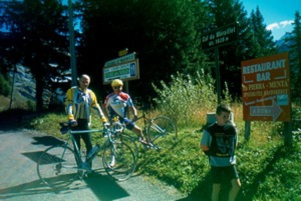
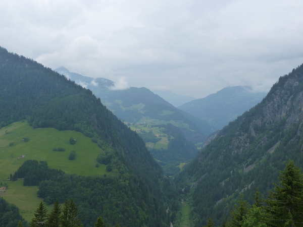
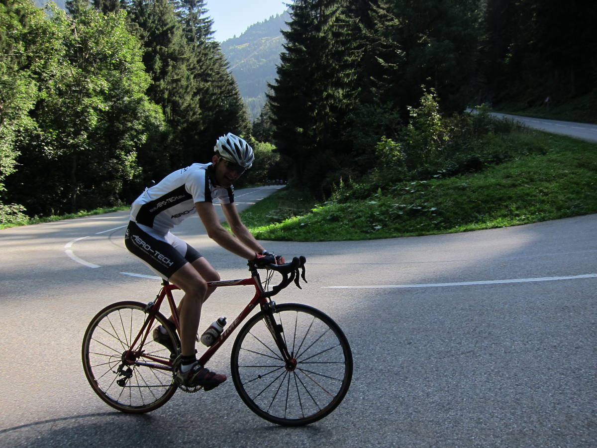
Choose a picture :
Message :
Climbing time :
 Ouvert
 Ascents reserved for cyclists