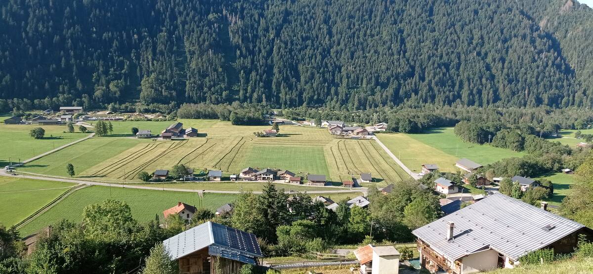
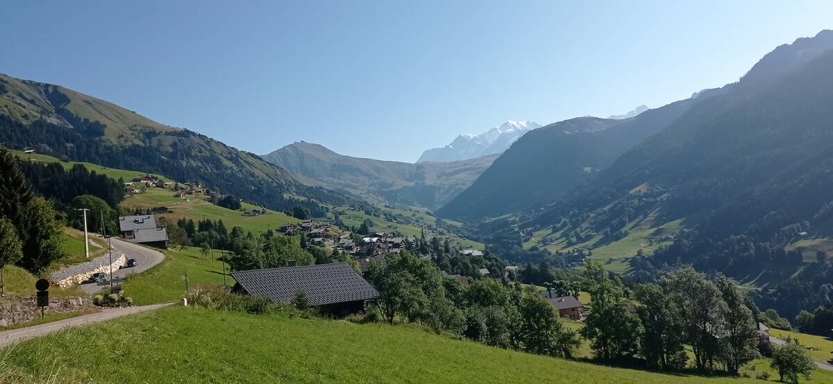
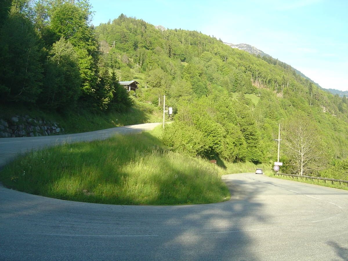
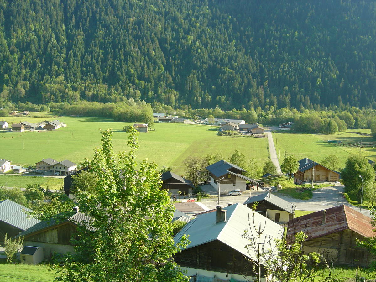
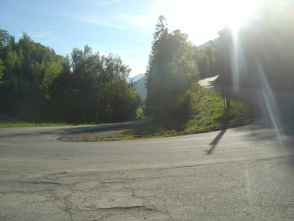
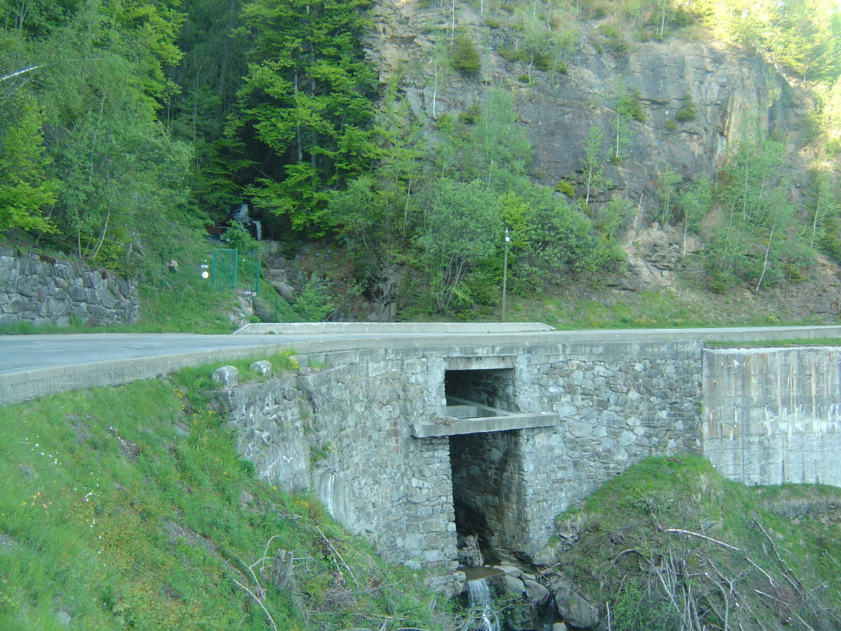
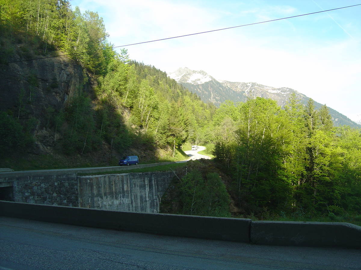
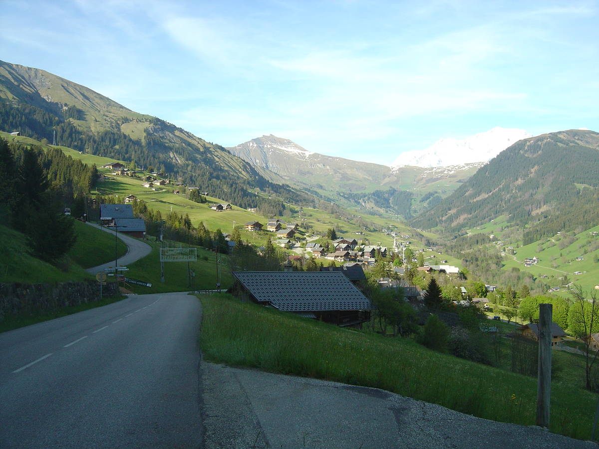
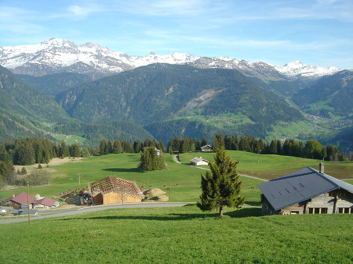
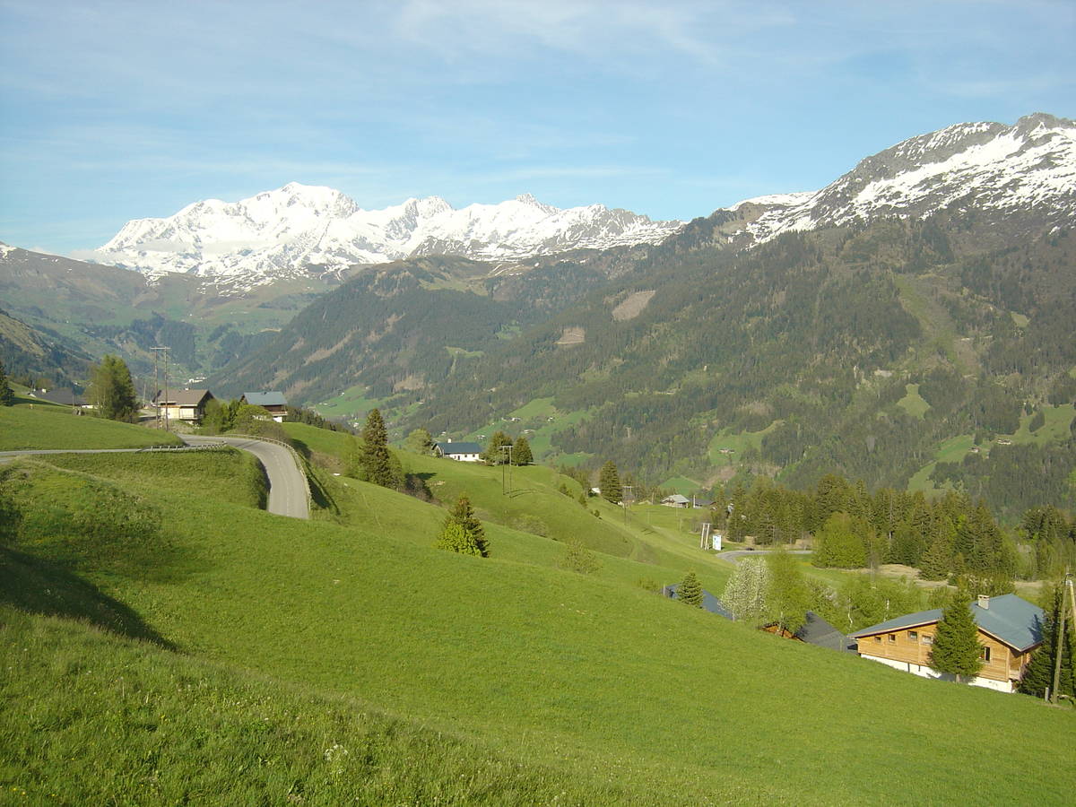
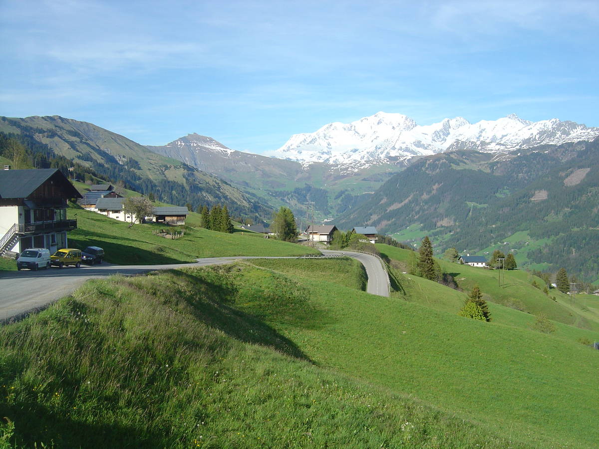
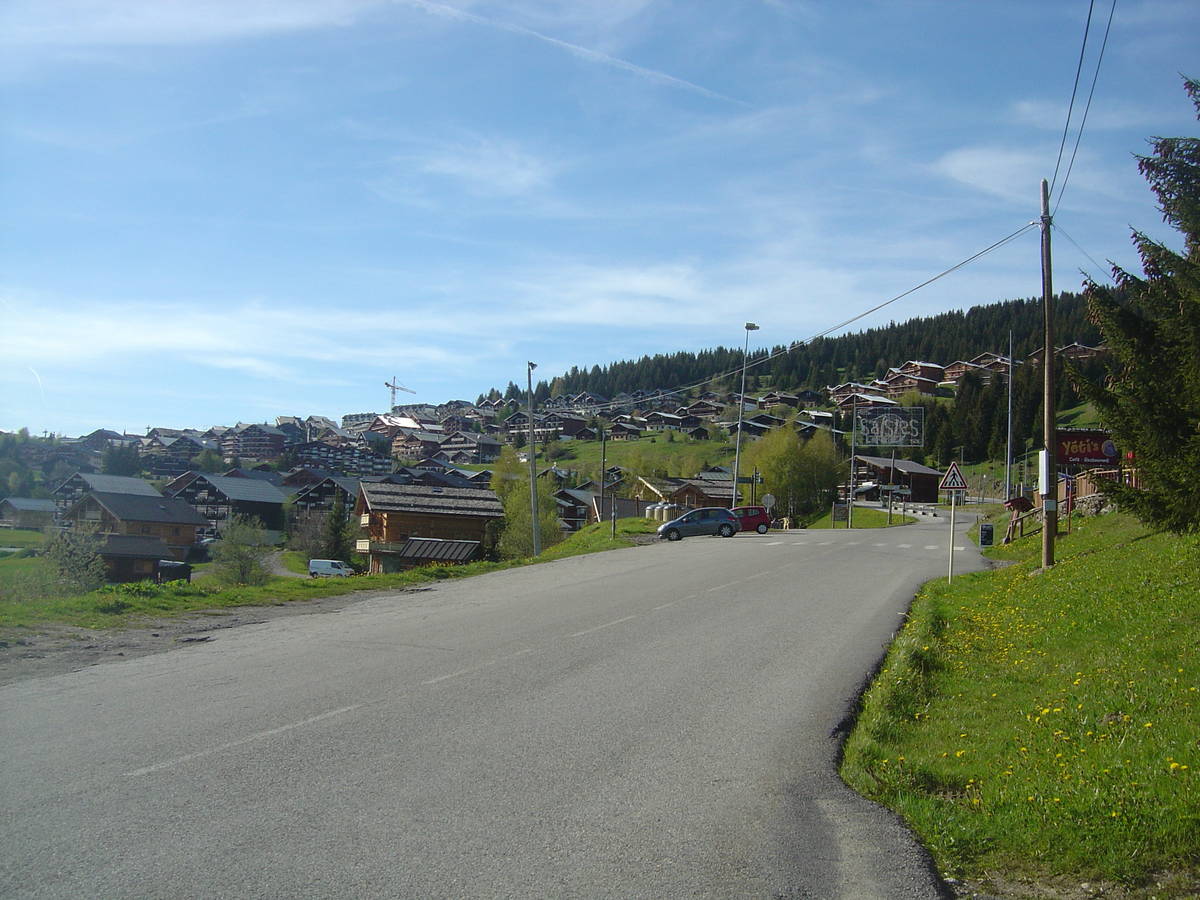
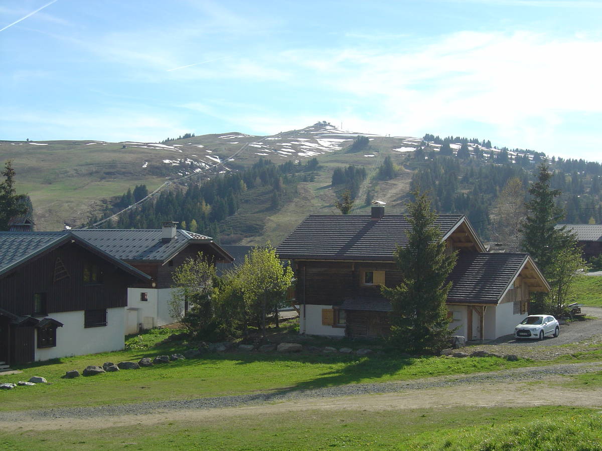
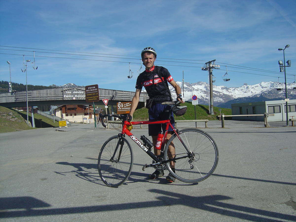
Information
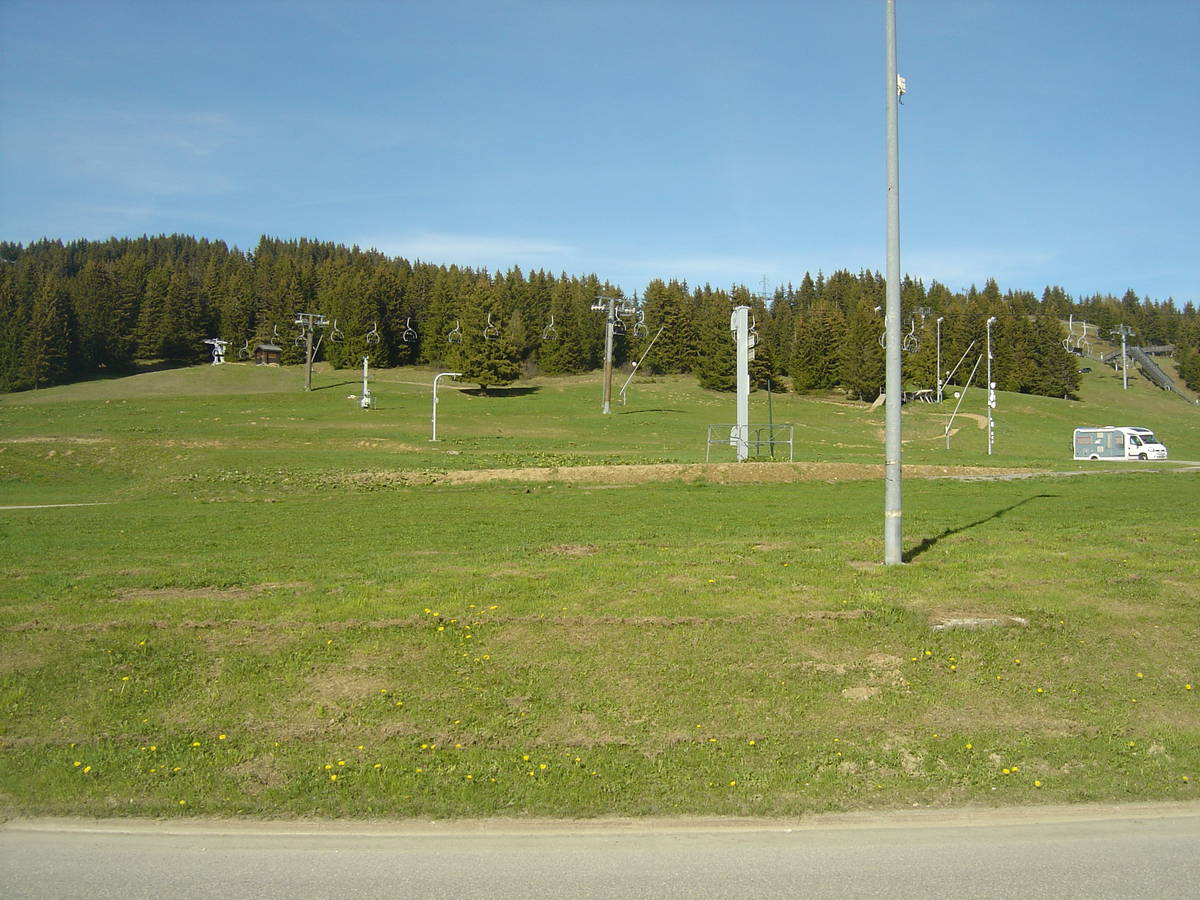
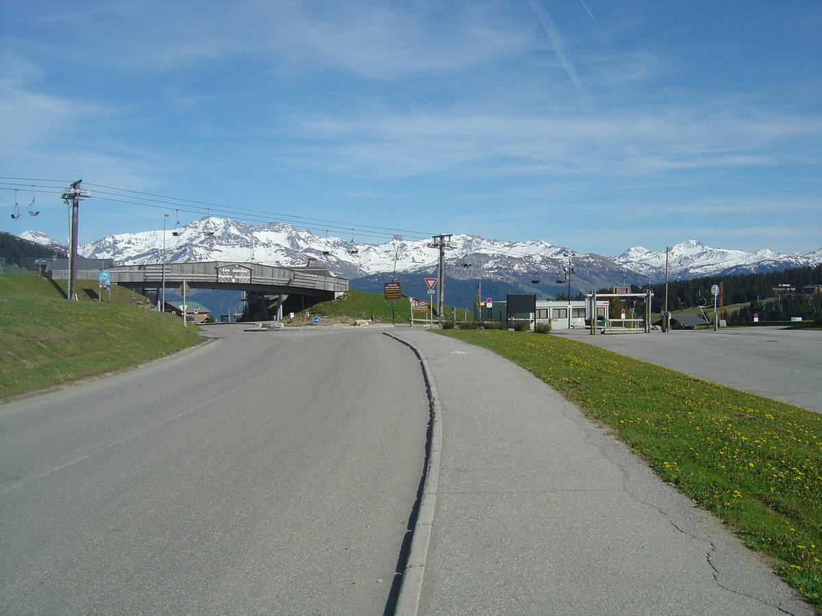
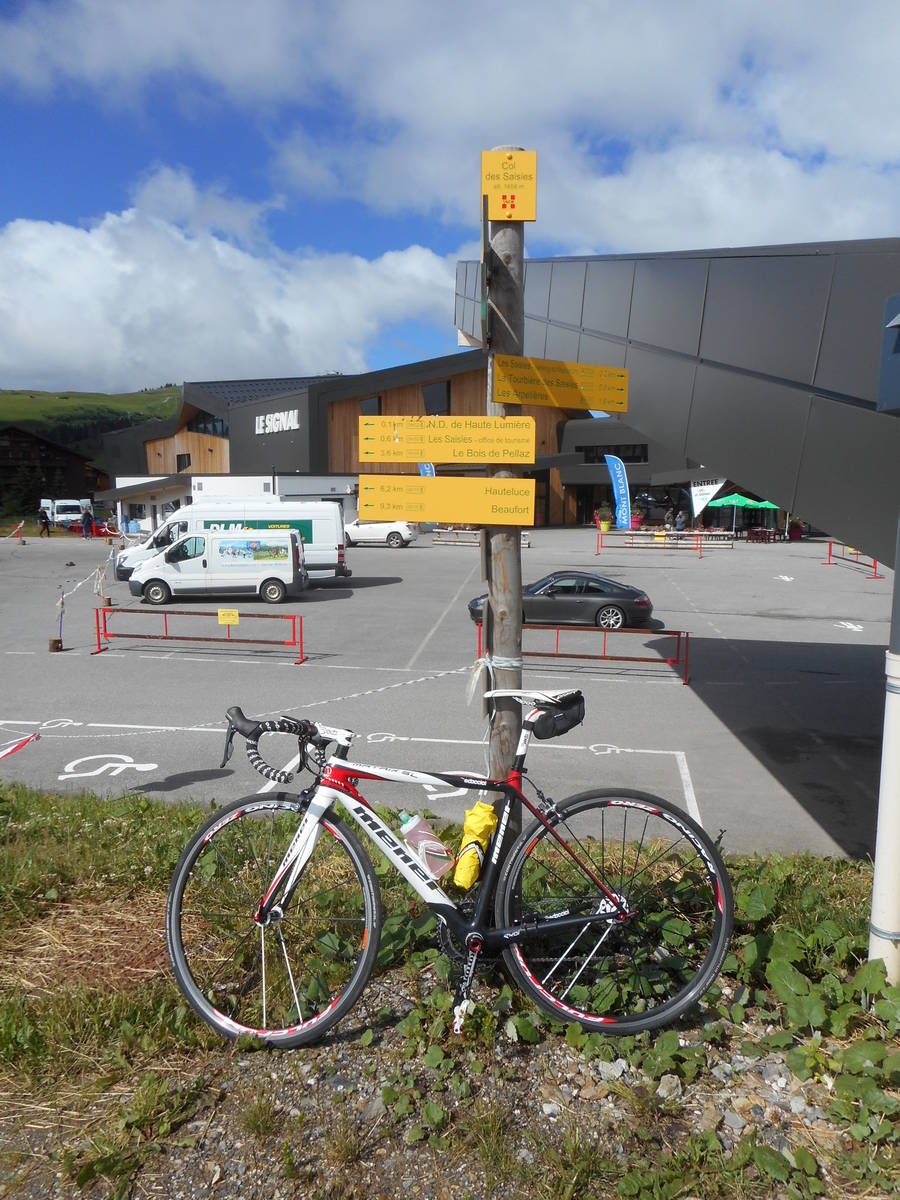
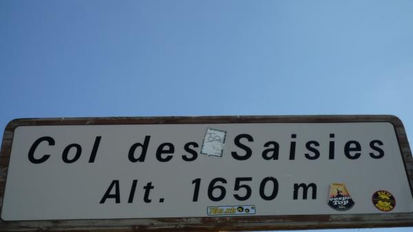
| Name : | Col des Saisies |
| Altitude : | 1657 m |
| Opening : |  Ouvert Ouvert |
| Start : | D925 / D218 |
| Length : | 15.00 km |
| Elevation gain : | 957 m |
| % Avg : | 6.38% |
| % Max : | 11.1% |
| Mountain range : | Beaufortain, France |
There's other climb of this summit
Map
Profile

 Ascents reserved for cyclists