Information
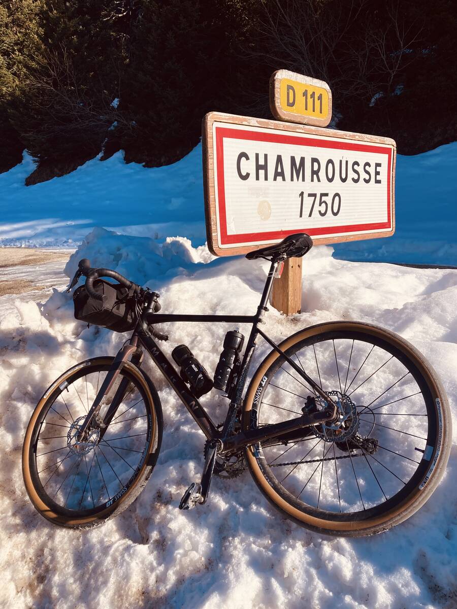
| Name : | Roche Beranger (Station de Chamrousse) |
| Altitude : | 1715 m |
| Start : | Uriage les Bains |
| Length : | 20.30 km |
| Elevation gain : | 1303 m |
| % Avg : | 6.42% |
| % Max : | 11.5% |
| Mountain range : | Belledonne, France |
There's other climb of this summit
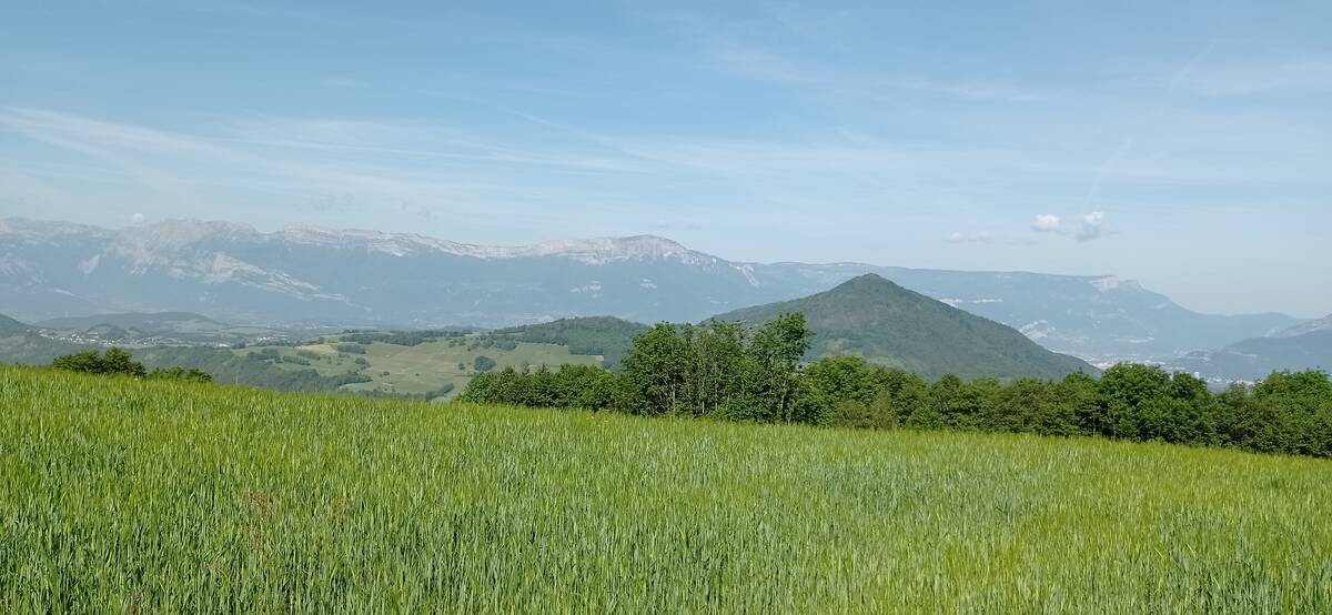
Map
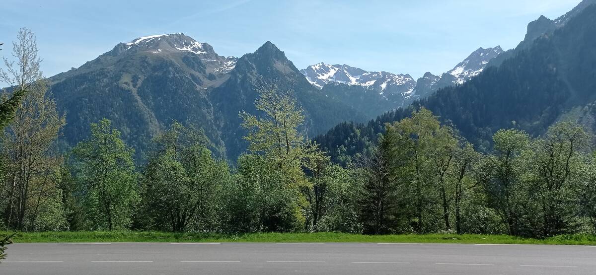
Profile

 Ascents reserved for cyclists