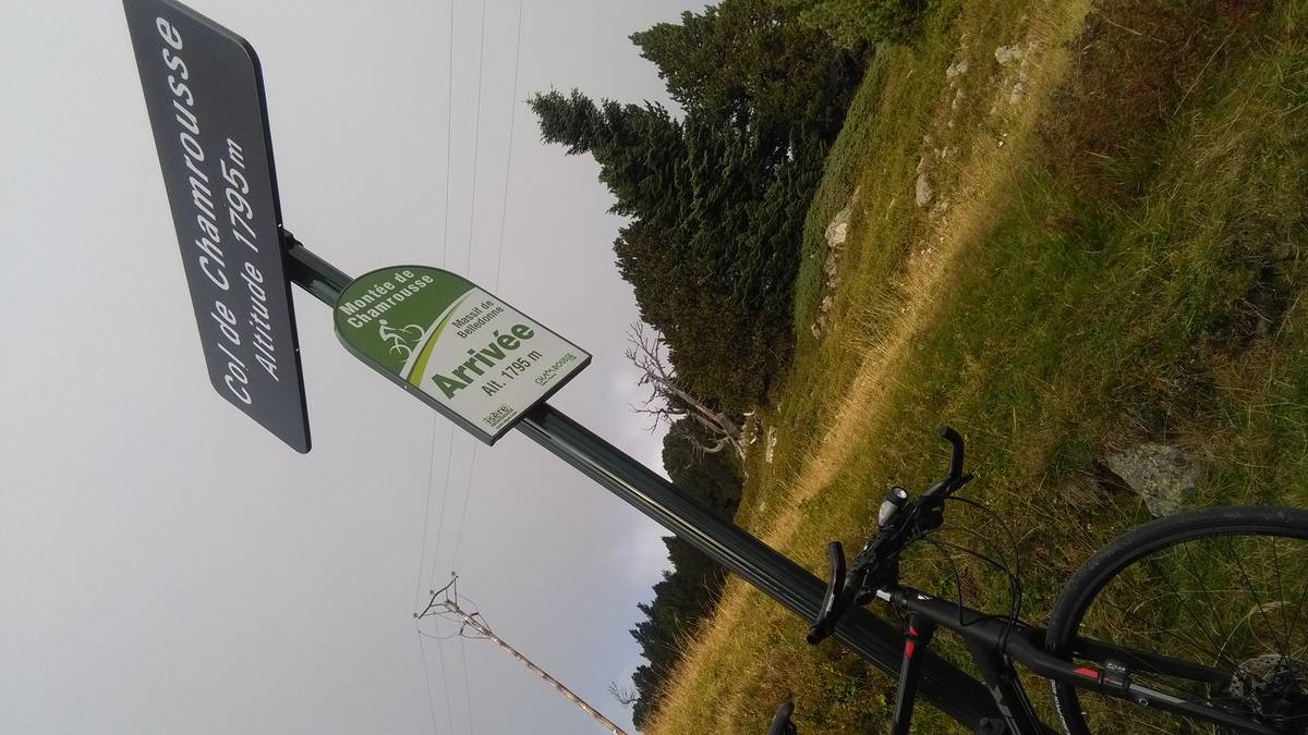
Information
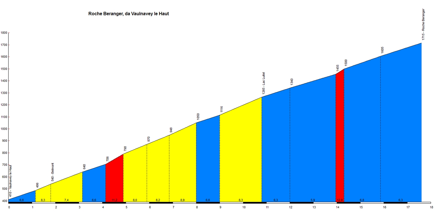
| Name : | Roche Beranger (Station de Chamrousse) |
| Altitude : | 1715 m |
| Start : | Vaulnaveys le Haut |
| Length : | 17.60 km |
| Elevation gain : | 1305 m |
| % Avg : | 7.41% |
| % Max : | 10.2% |
| Mountain range : | Belledonne, France |
There's other climb of this summit
Map
Profile
 Ascents reserved for cyclists