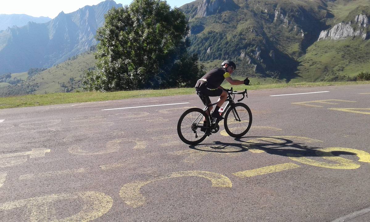
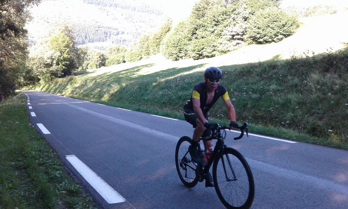
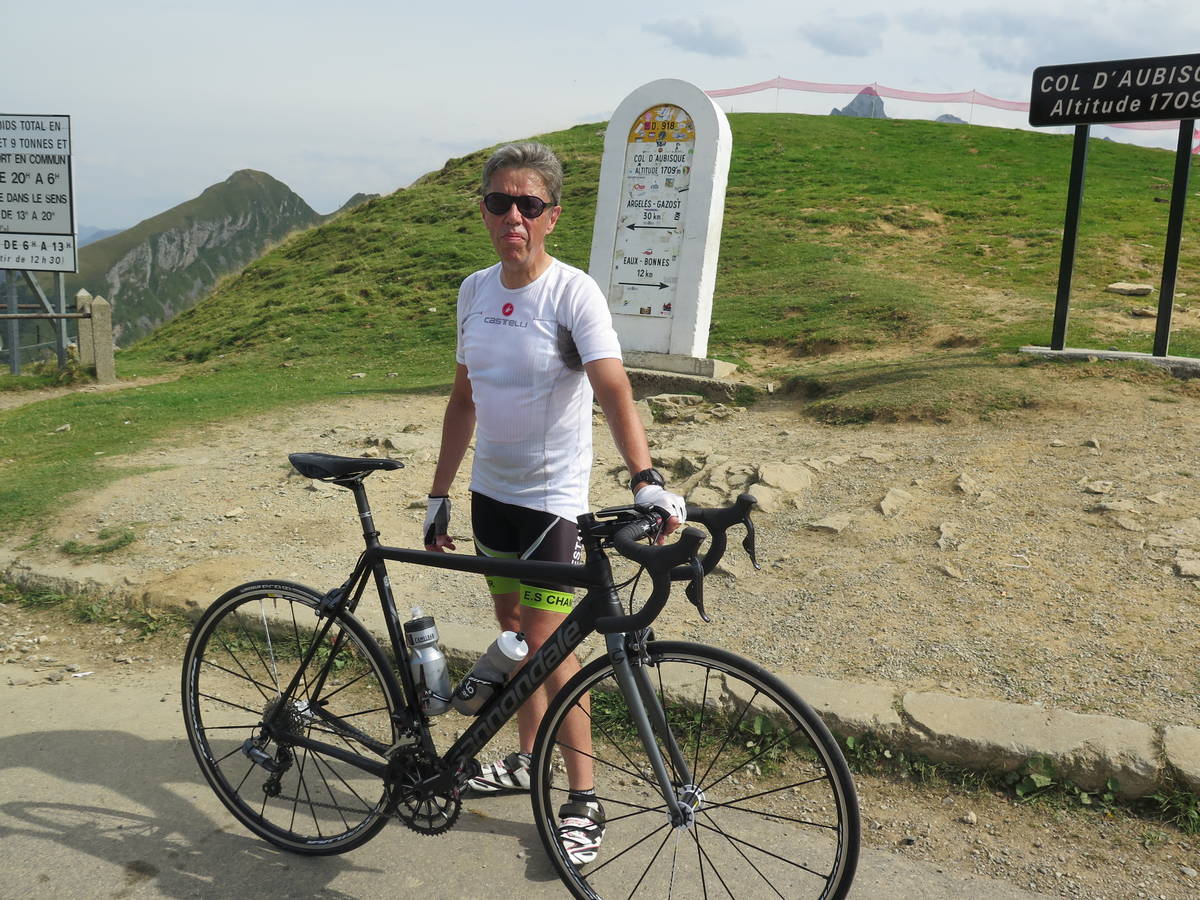
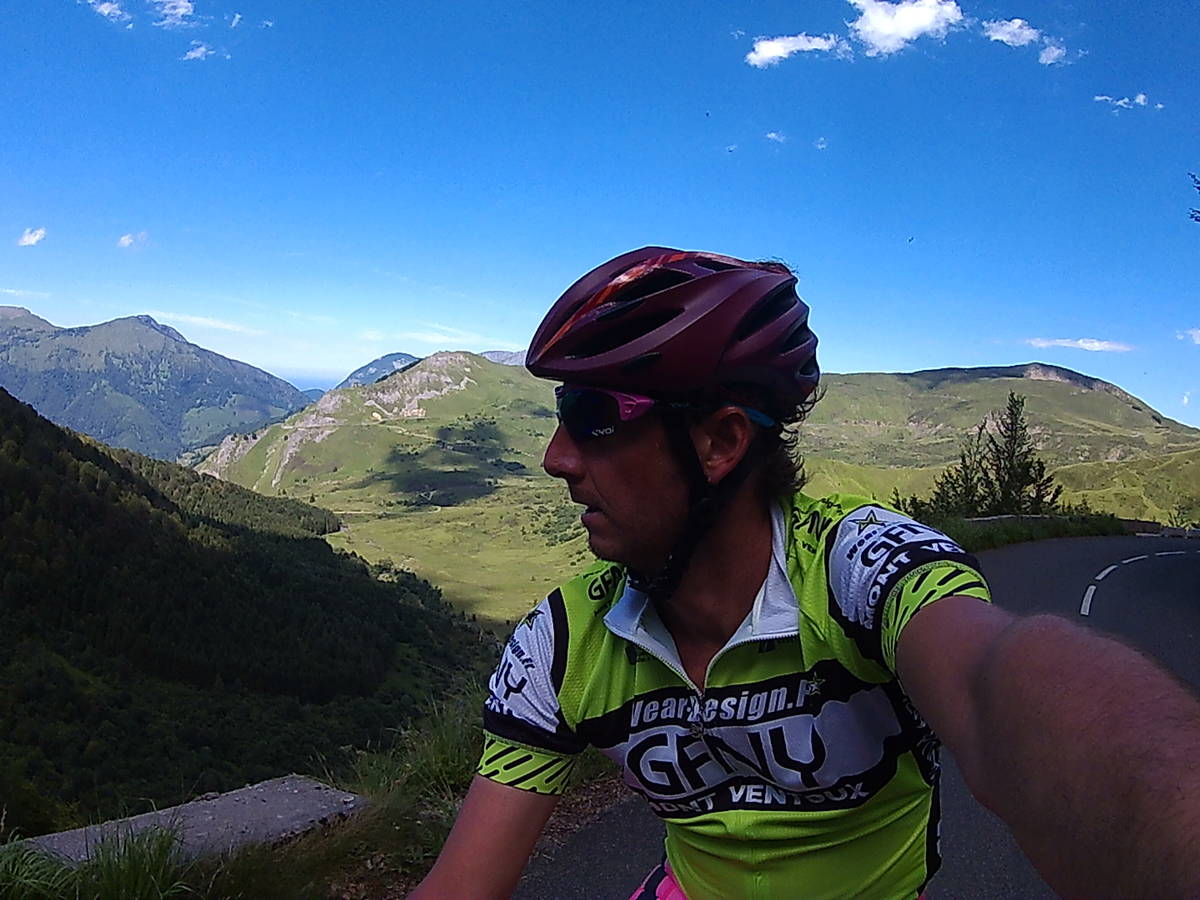
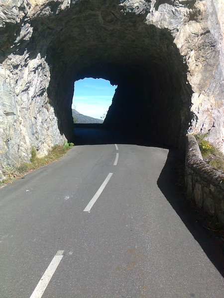
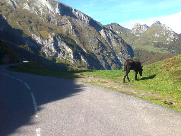
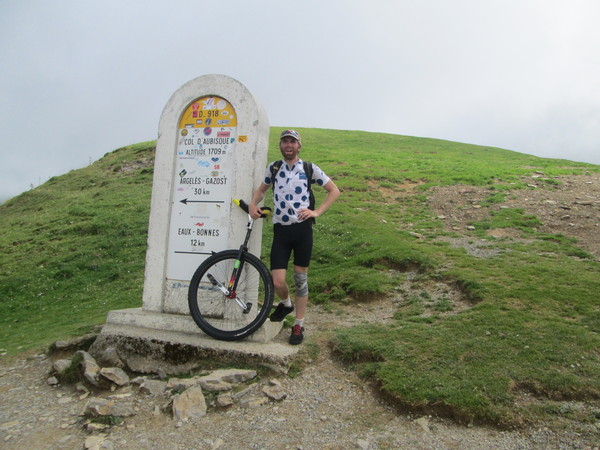
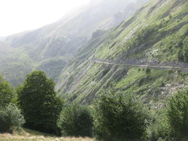
Information
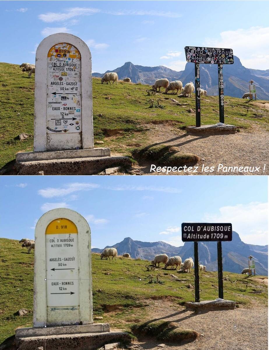
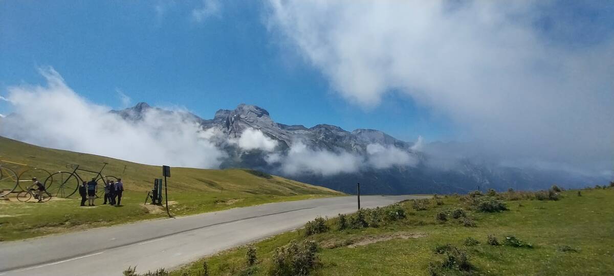
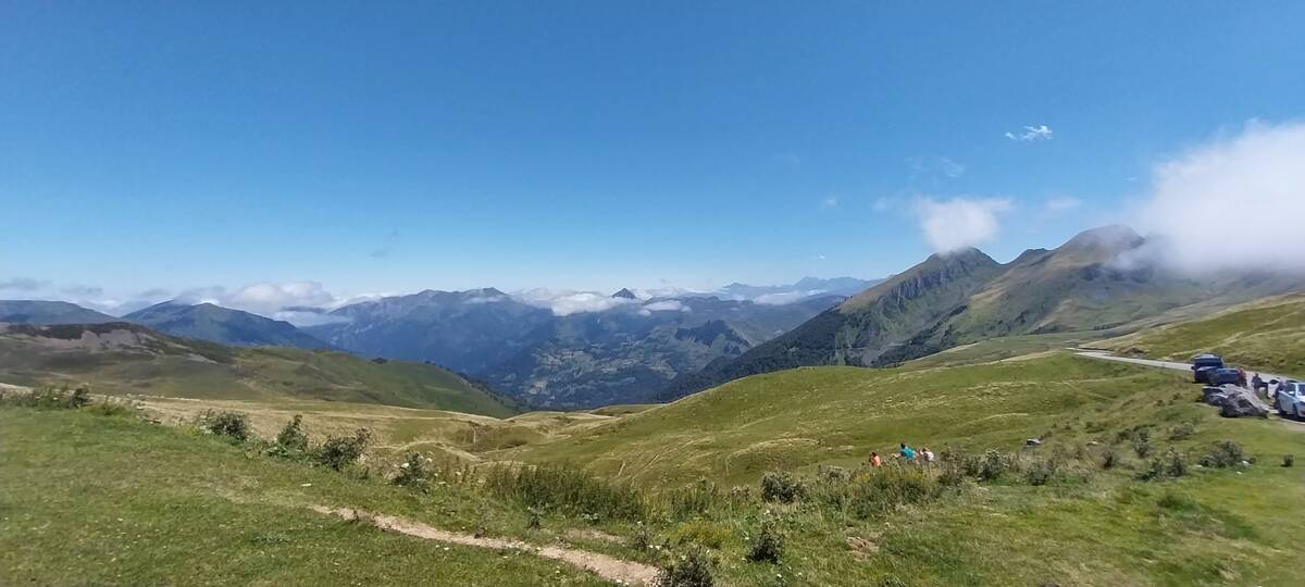
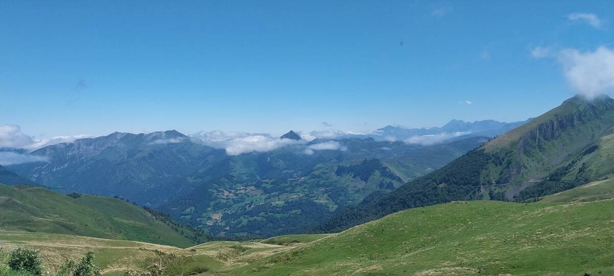
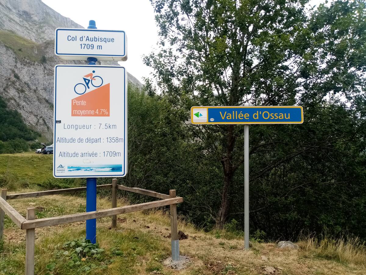
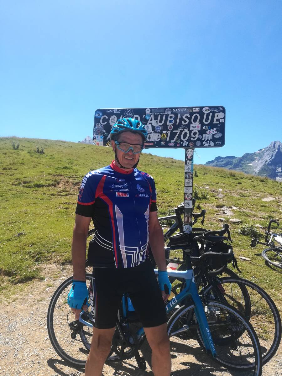
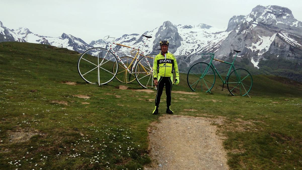
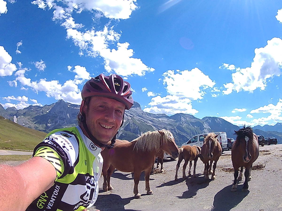
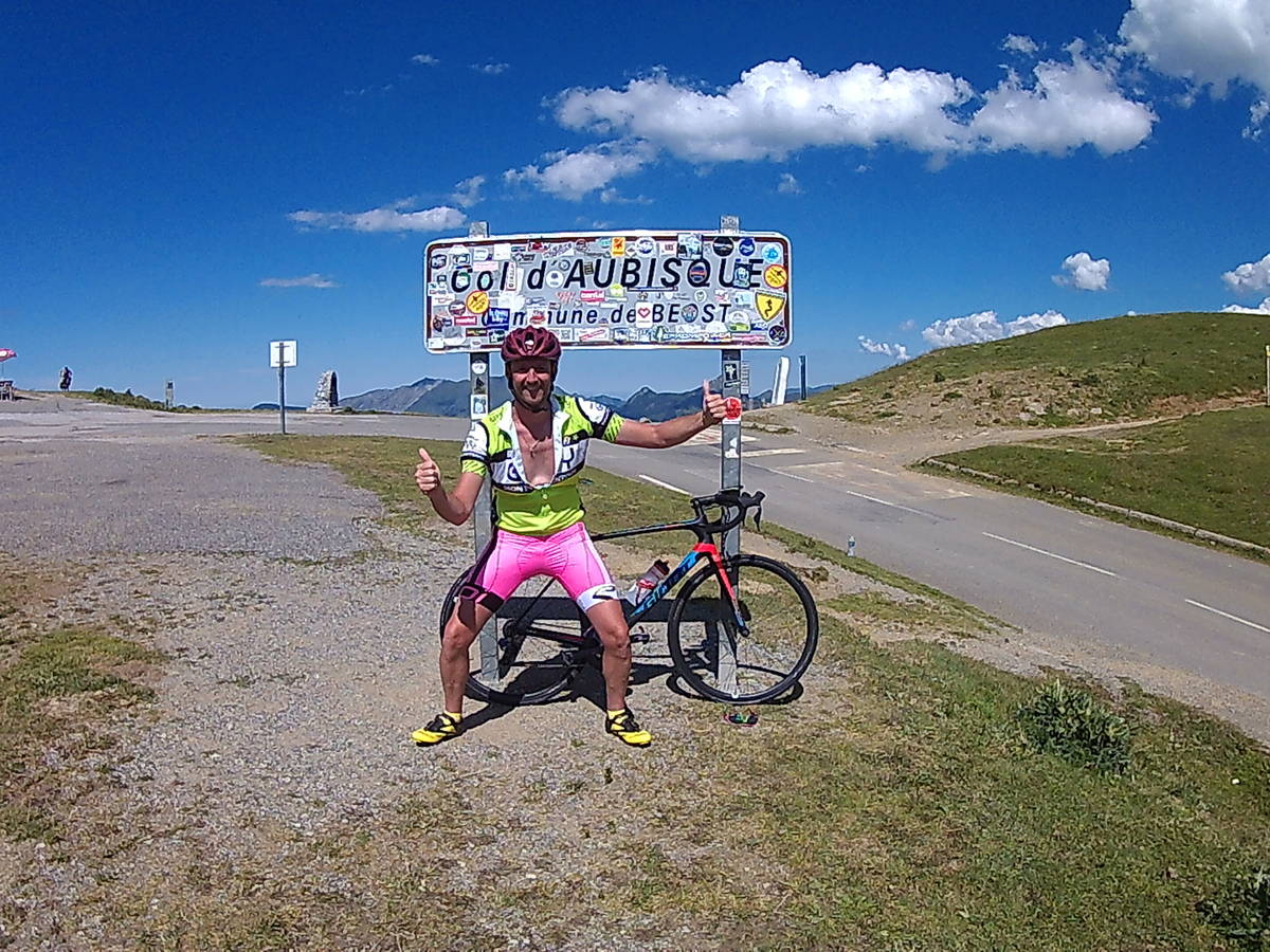
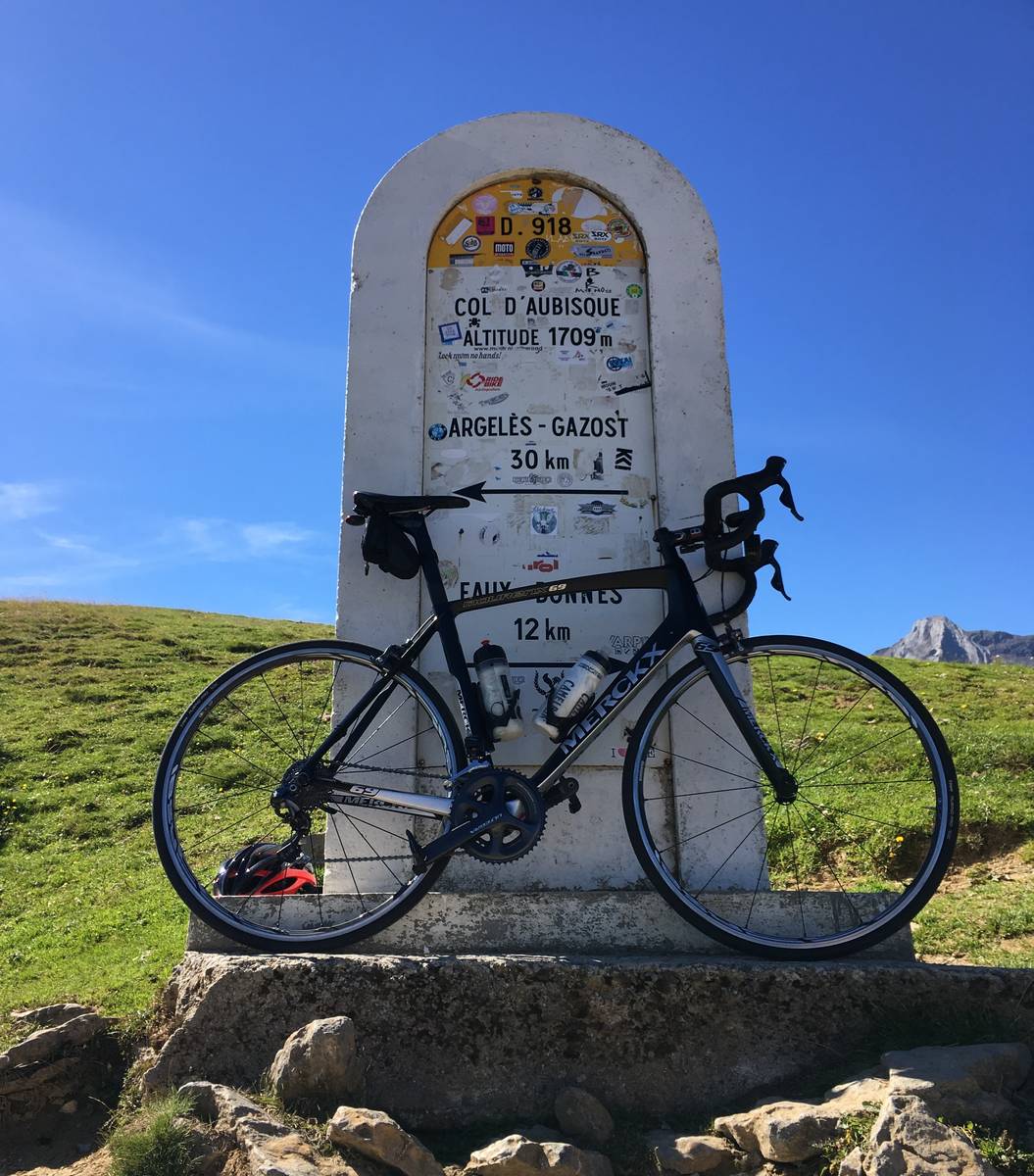
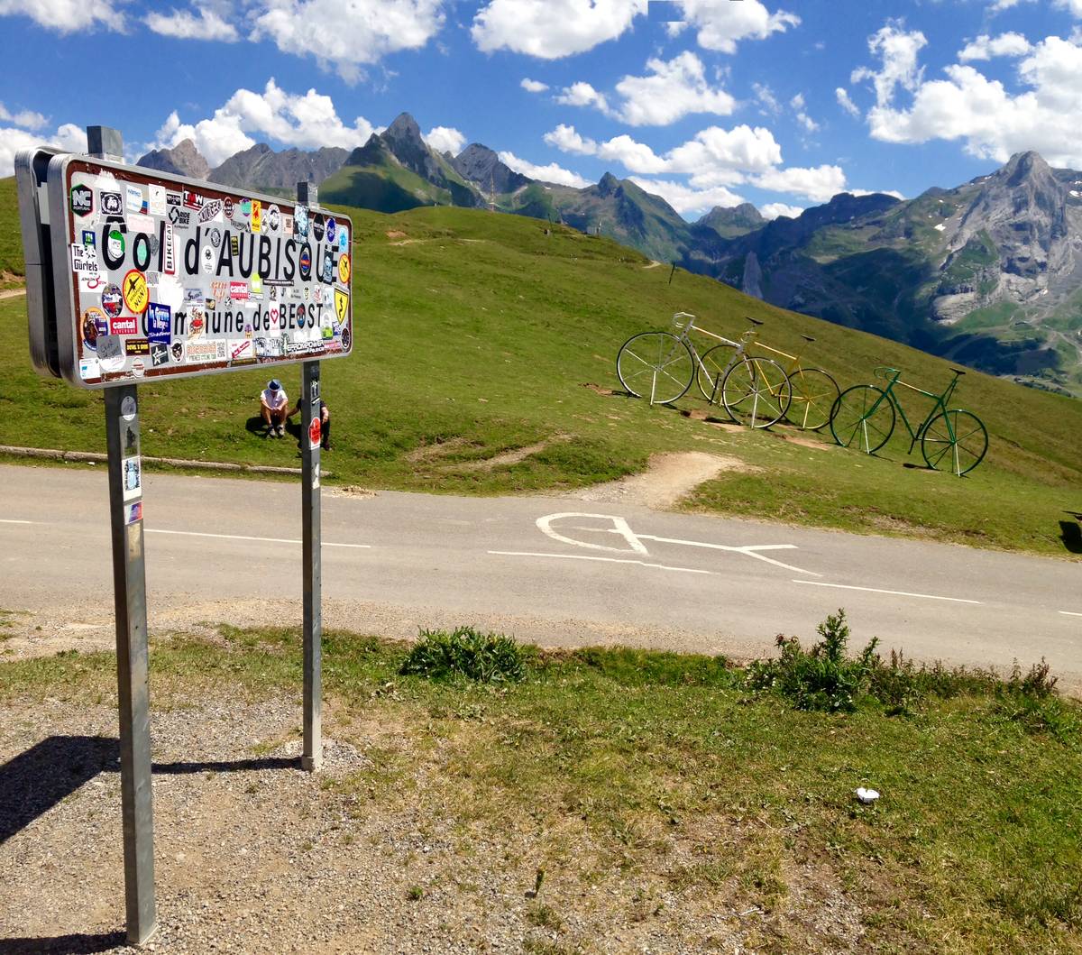
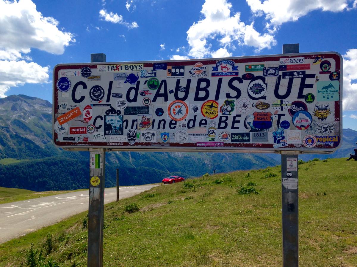
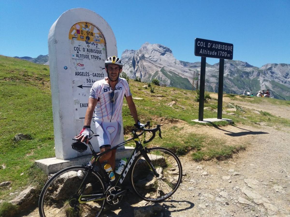
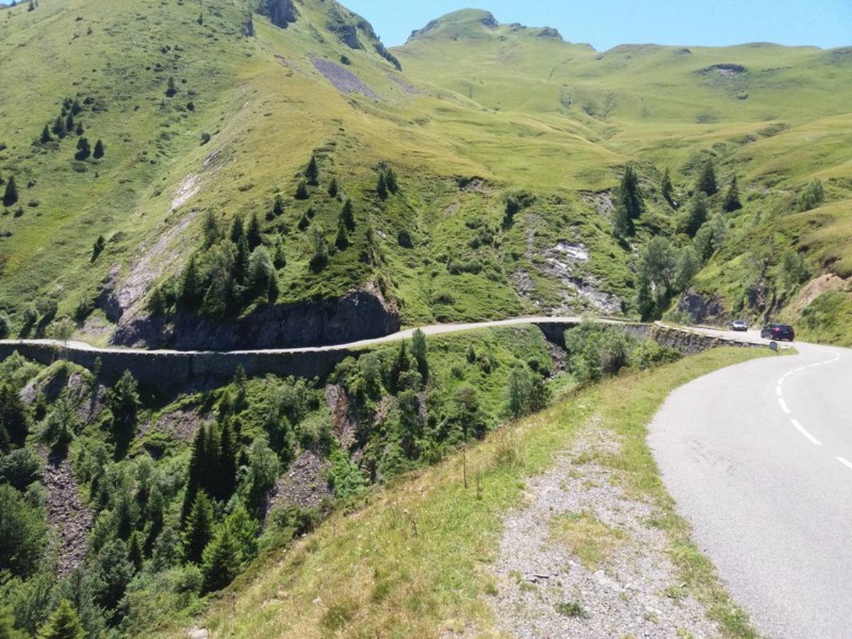
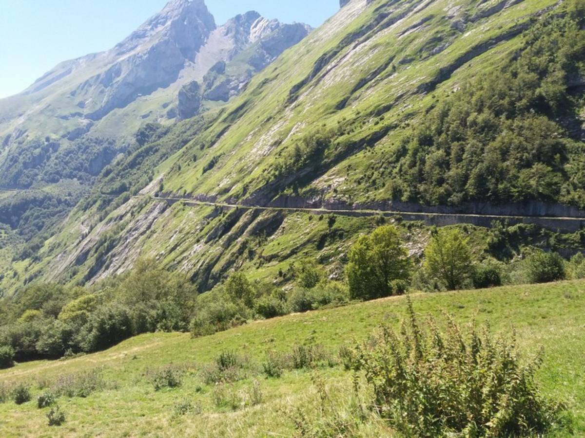
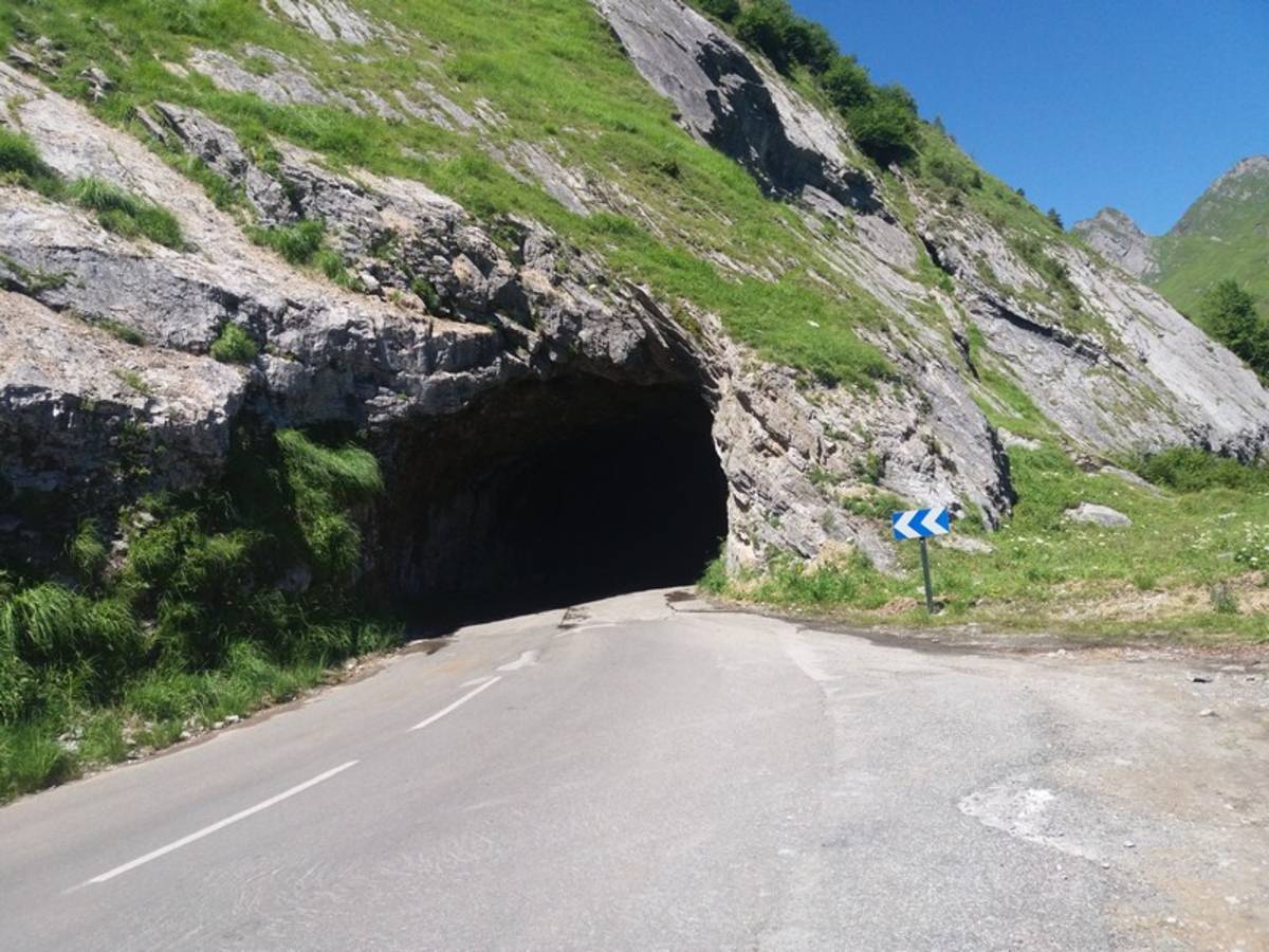
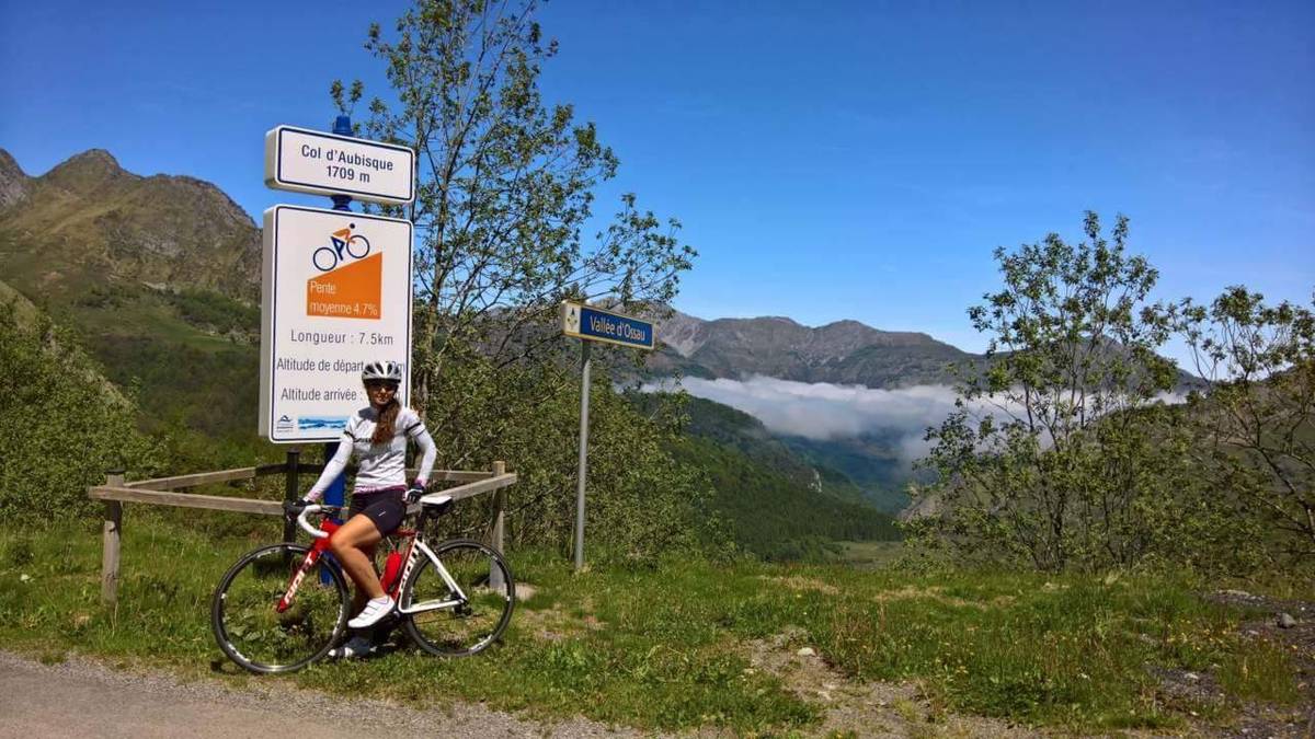
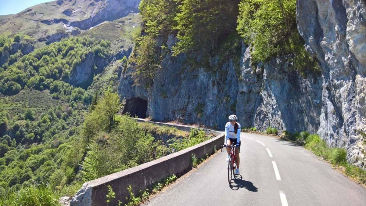
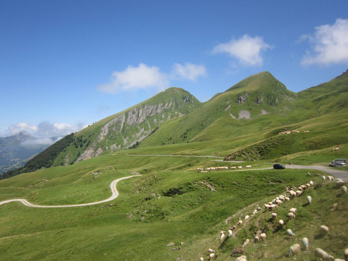
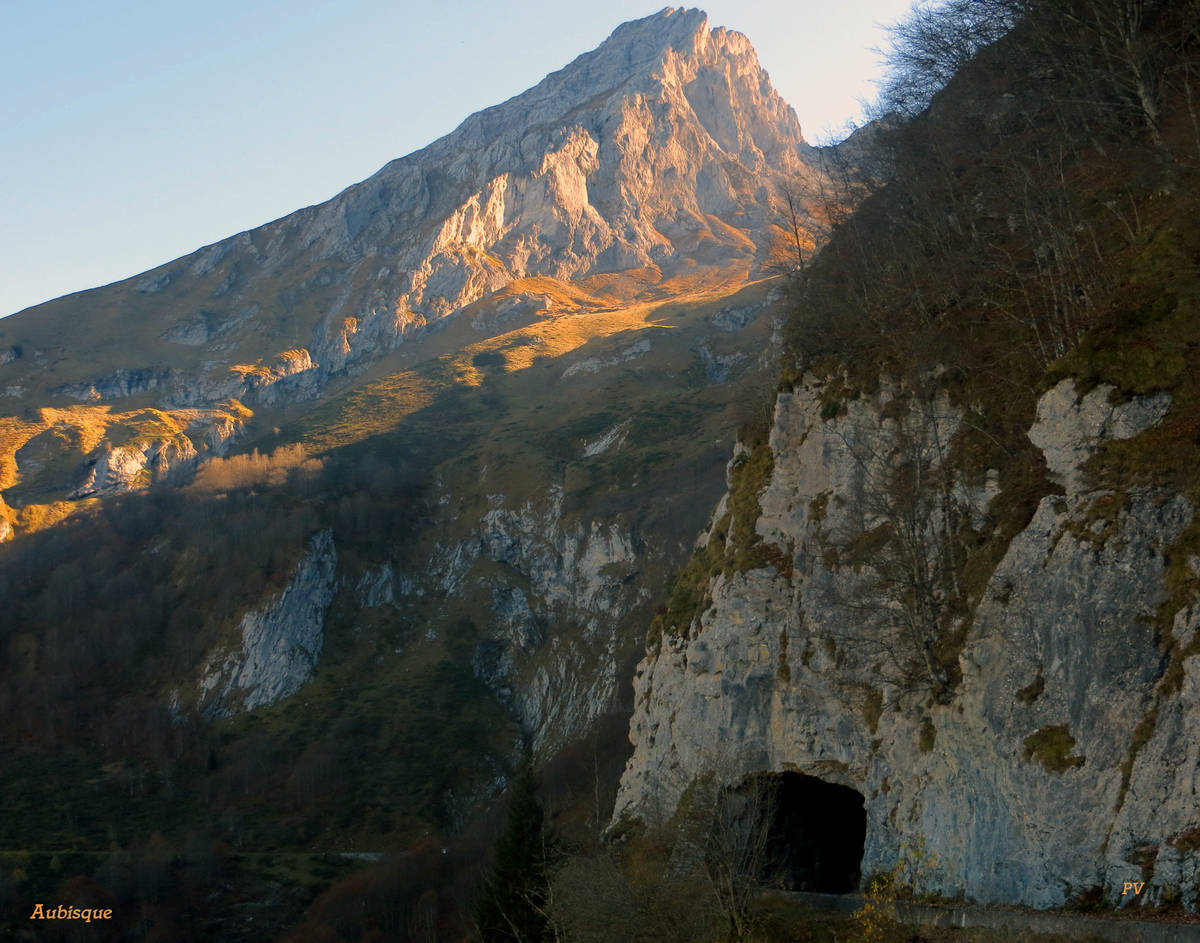
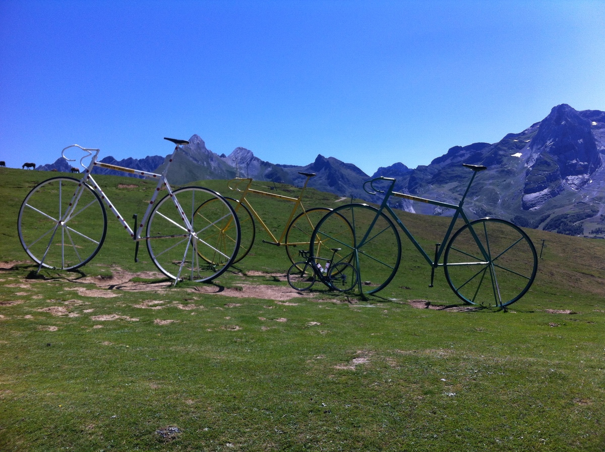
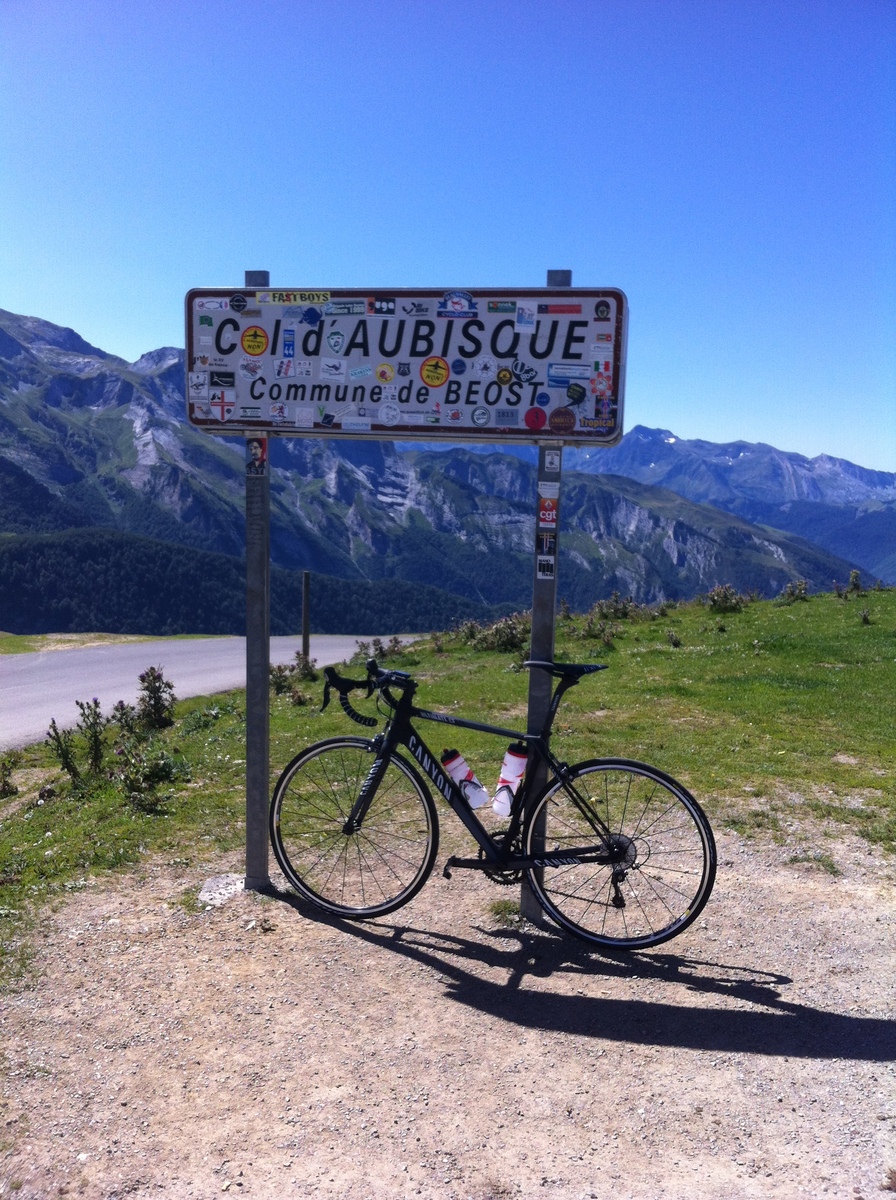
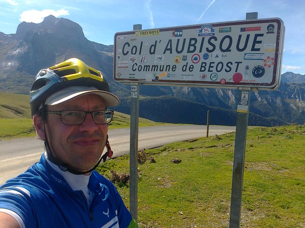
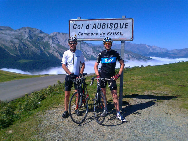
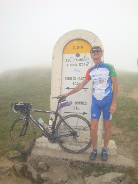
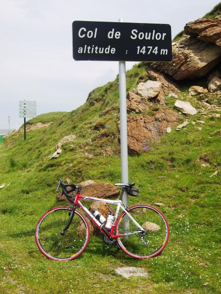
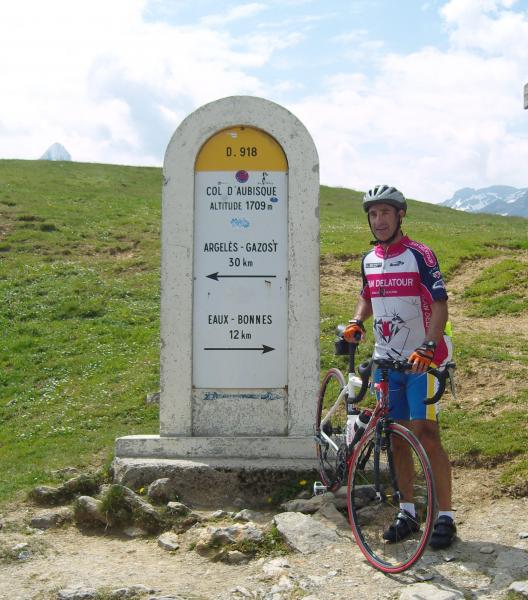
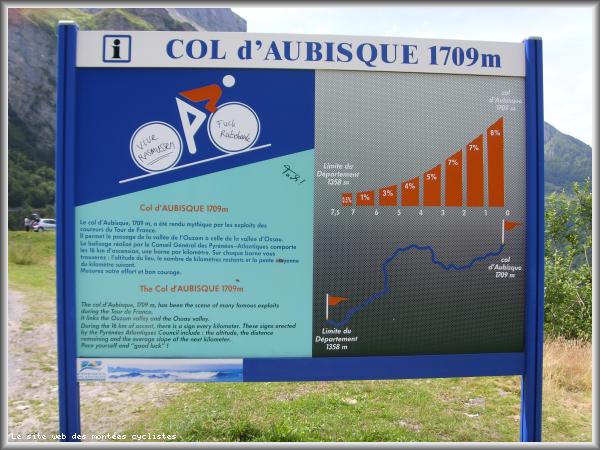
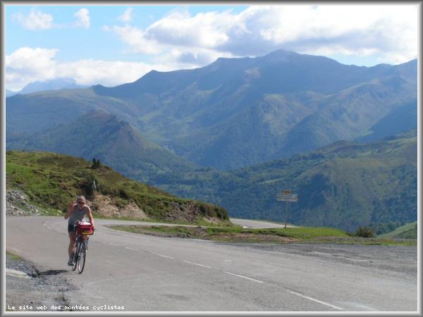
| Name : | Col d'Aubisque |
| Altitude : | 1709 m |
| Start : | Argeles Gazost |
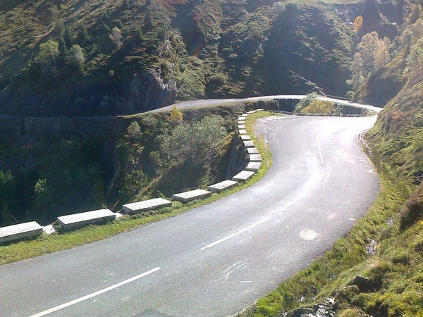
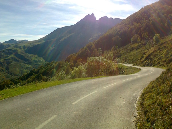
| Length : | 30.10 km |
| Elevation gain : | 1247 m |
| % Avg : | 4.14% |
| % Max : | 11.0% |
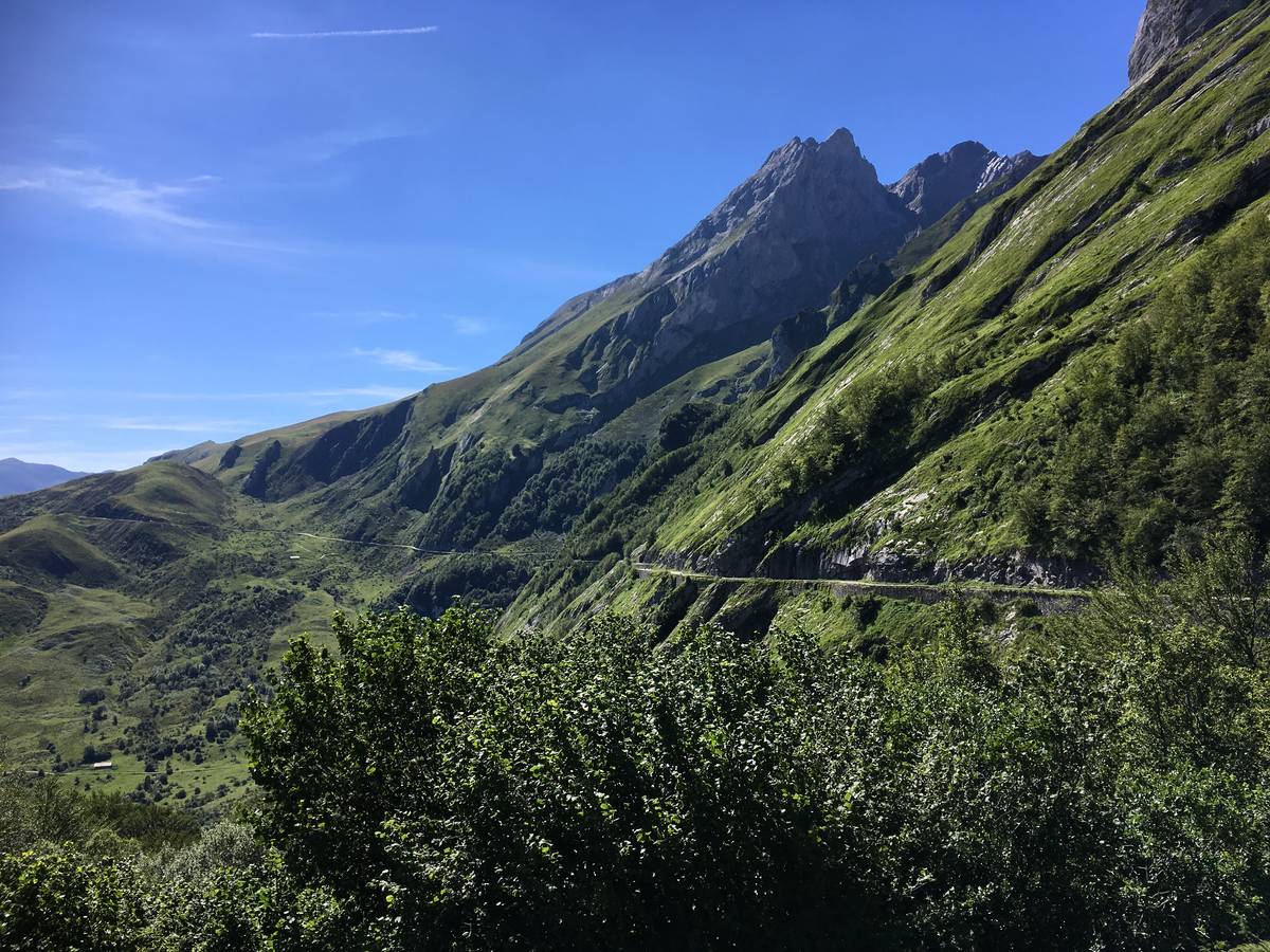
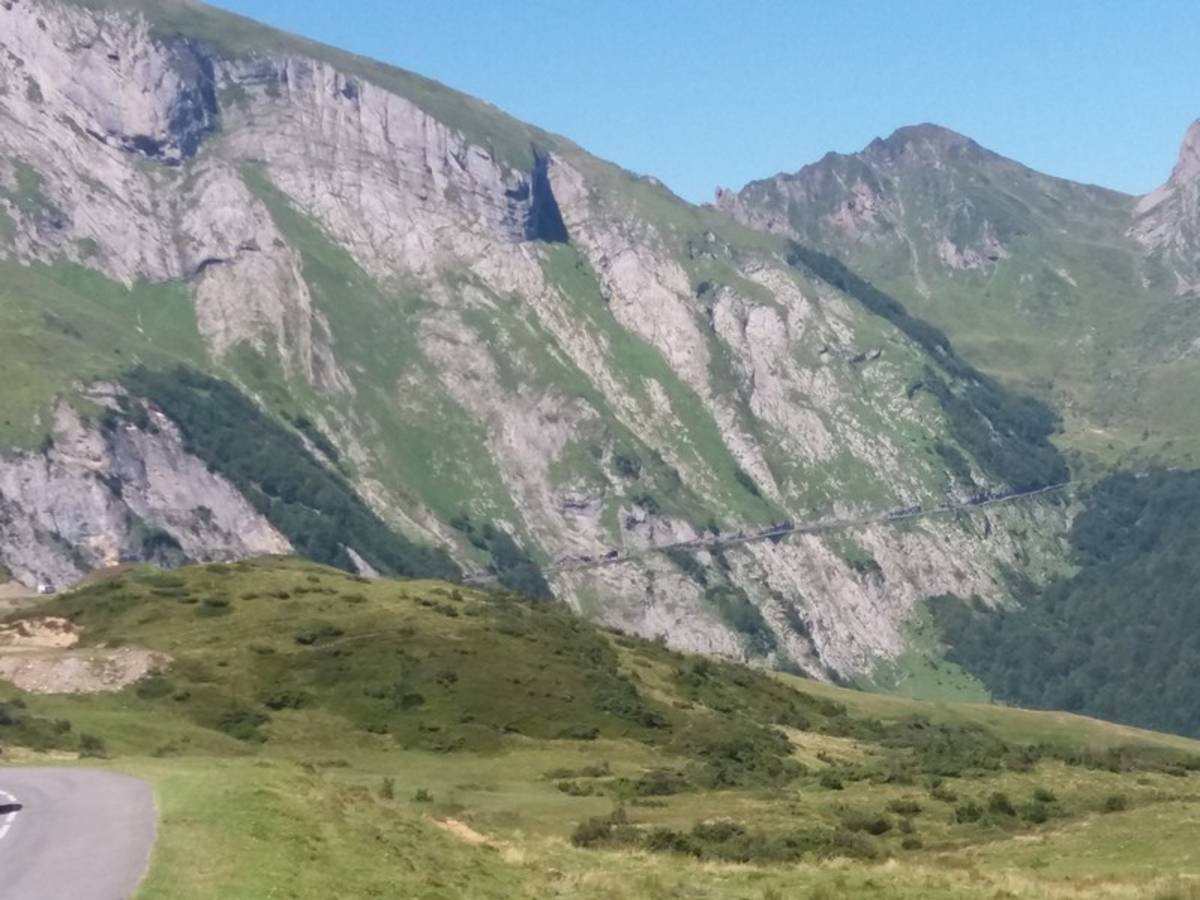
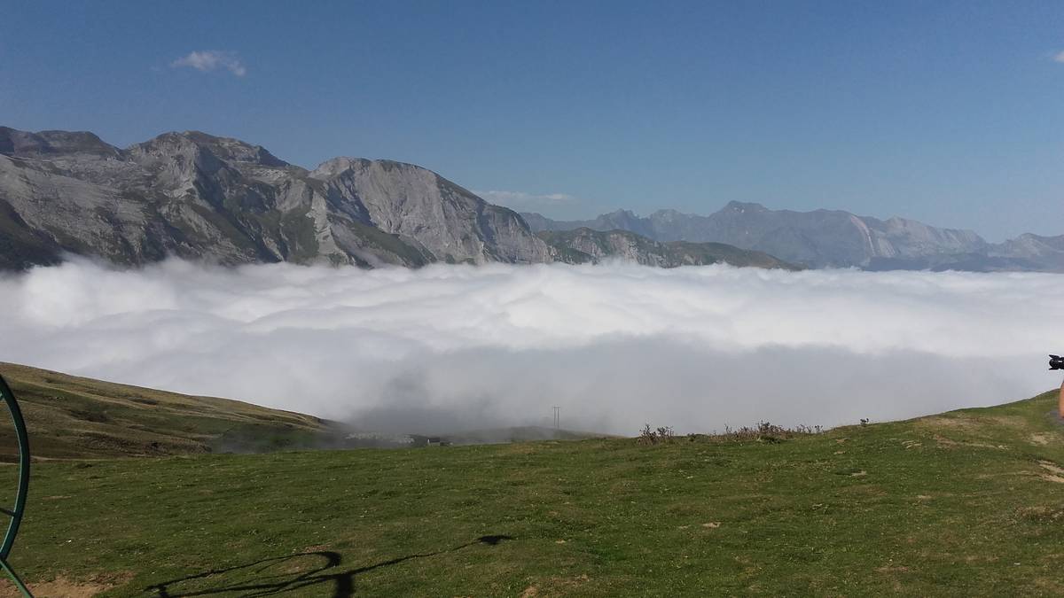
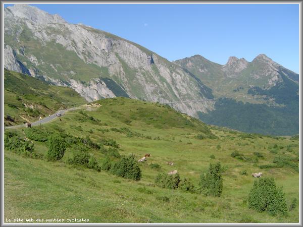
| Mountain range : | Central pyrenees, France |
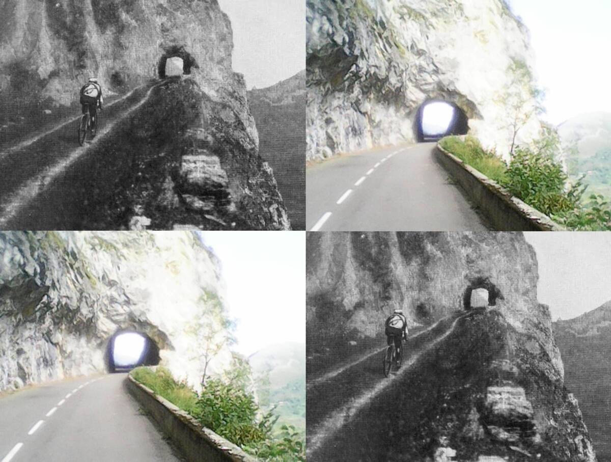
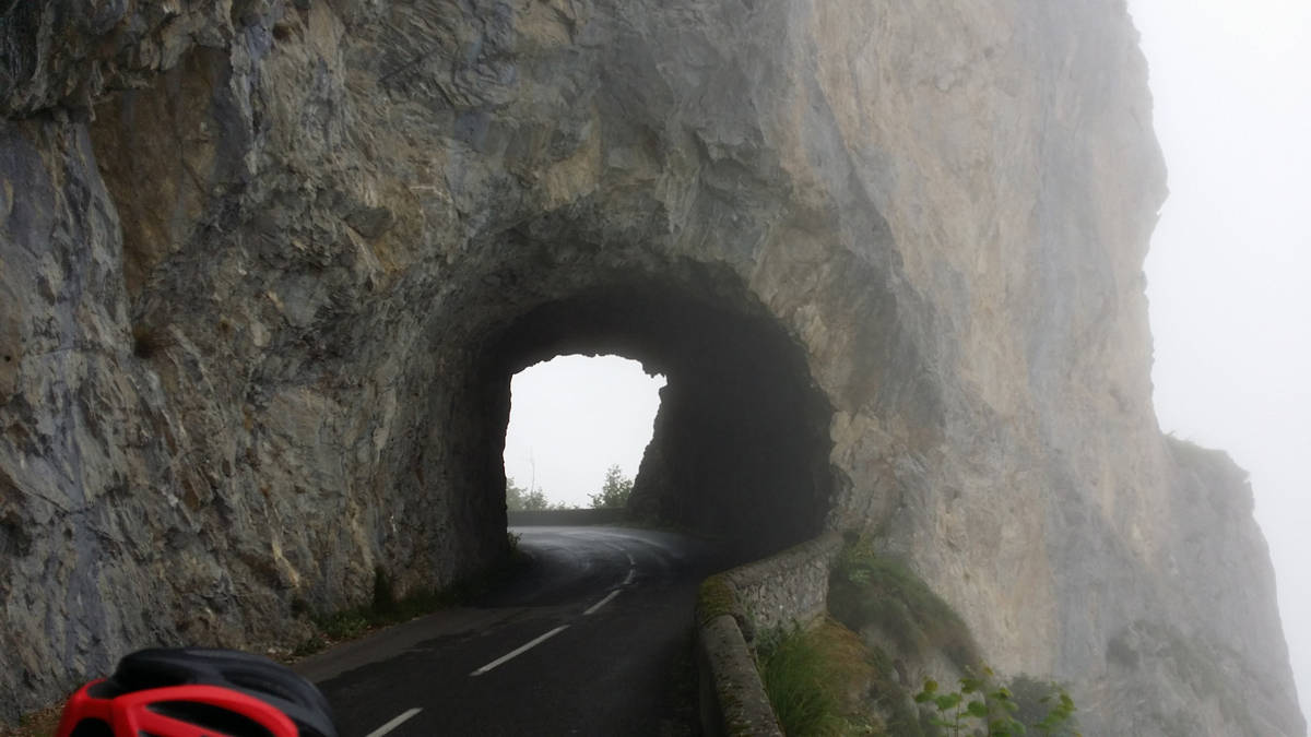
There's other climb of this summit
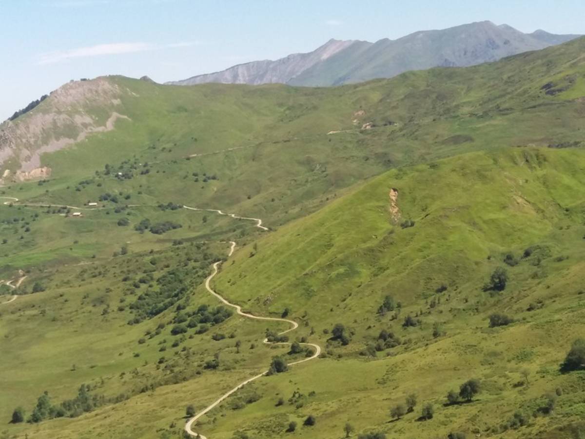
Map
Profile

 This climb is reserved for cyclists on 14/07/2023 : This climb is reserved for cyclists on 26/07/2019 :