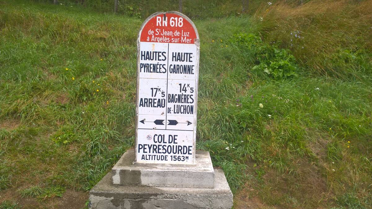
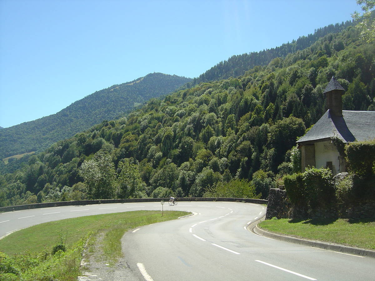
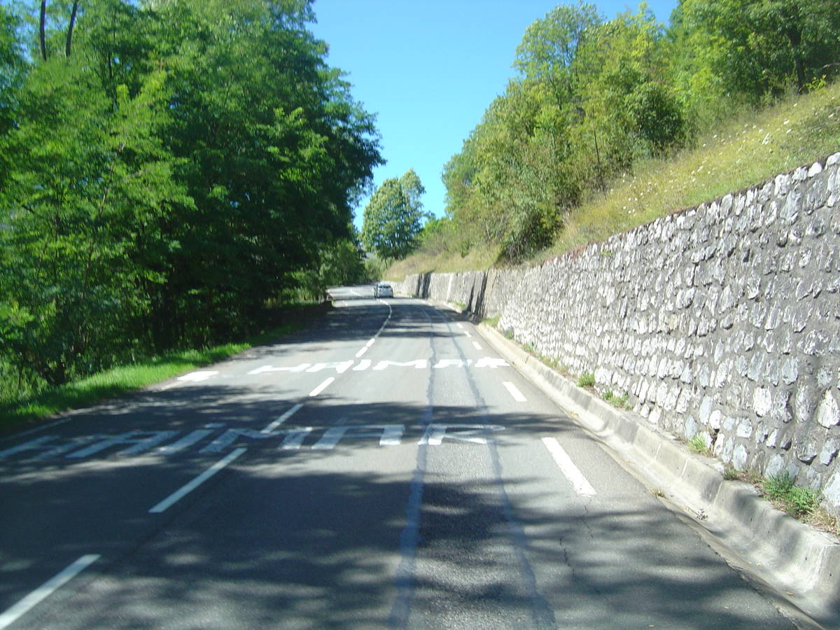
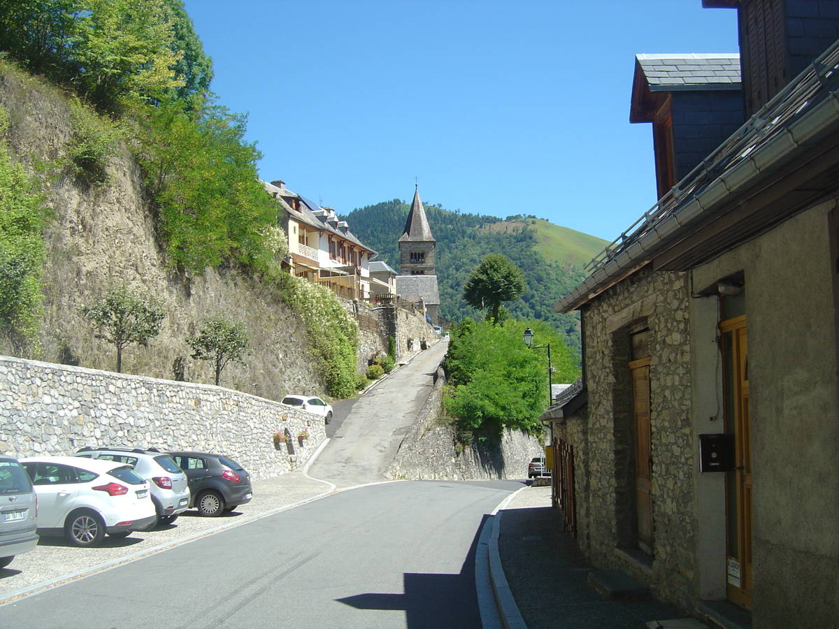
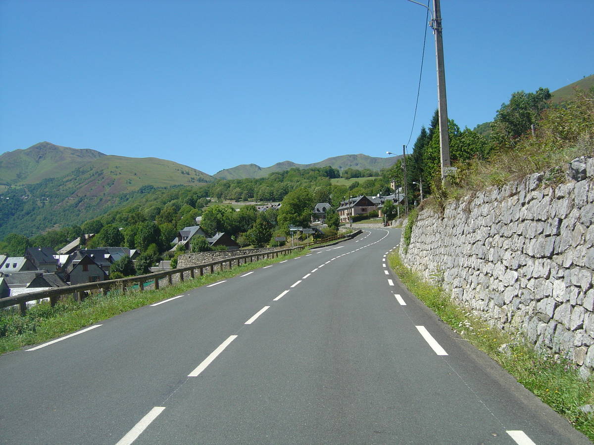
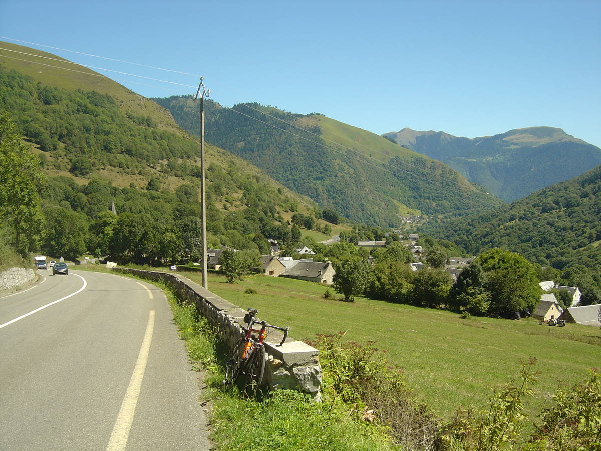
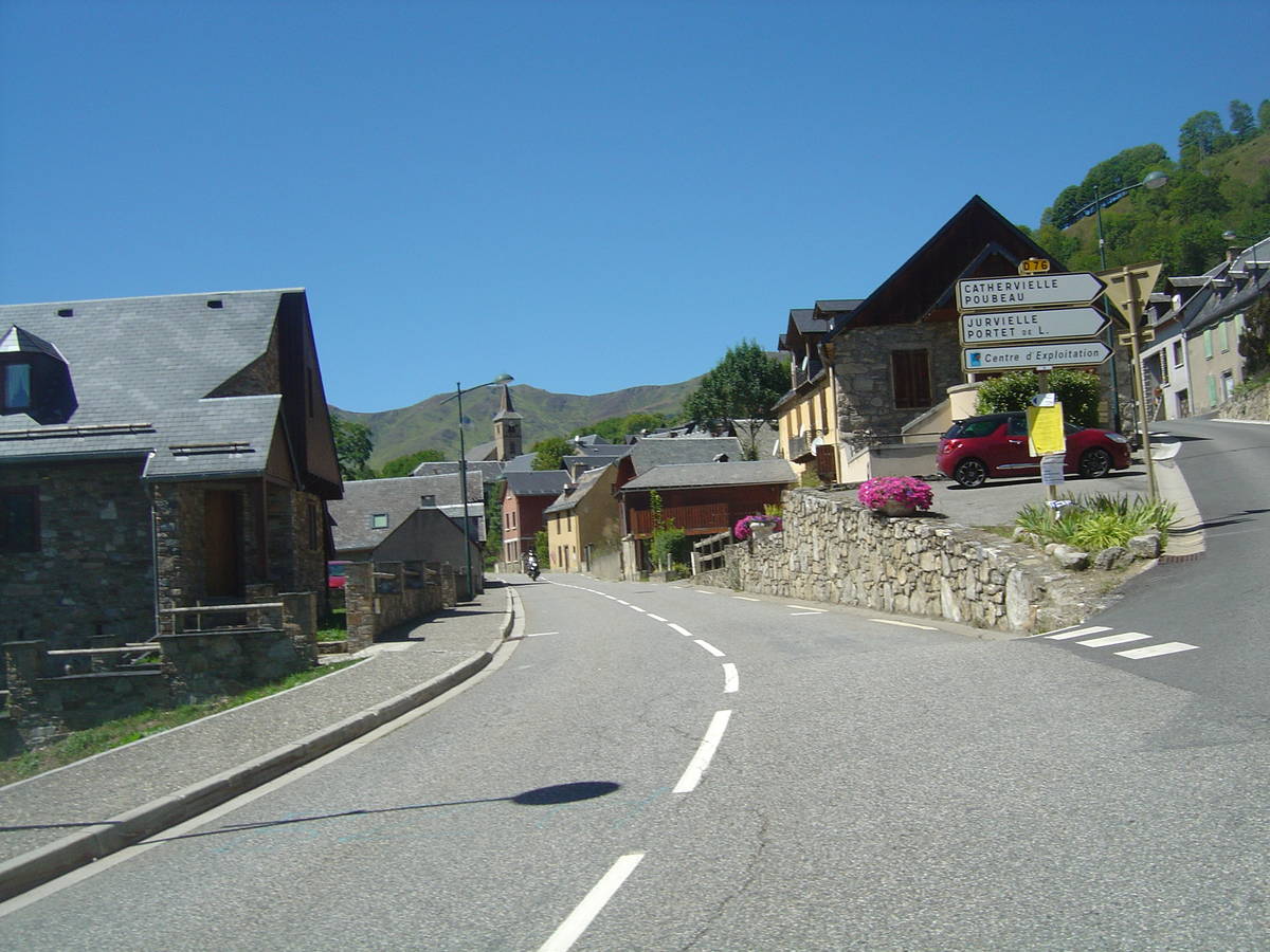
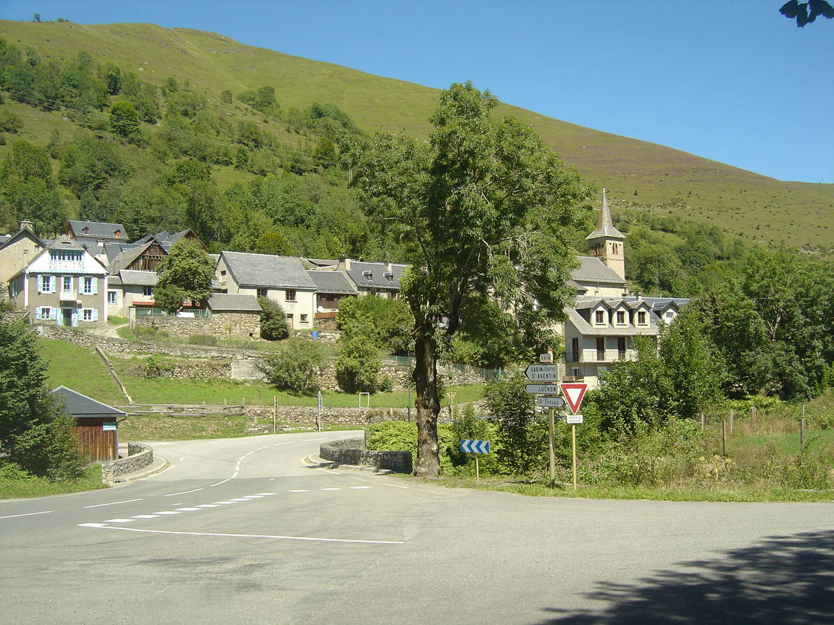
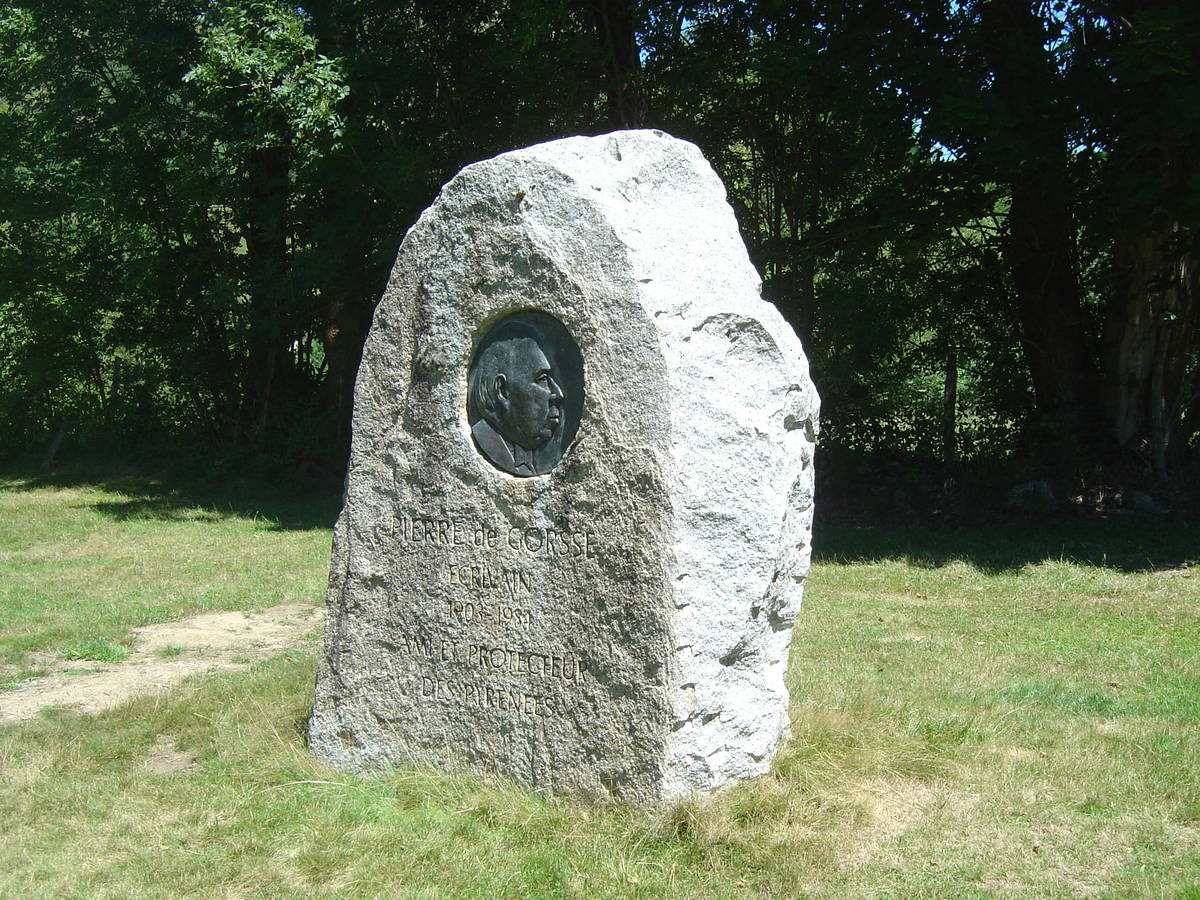
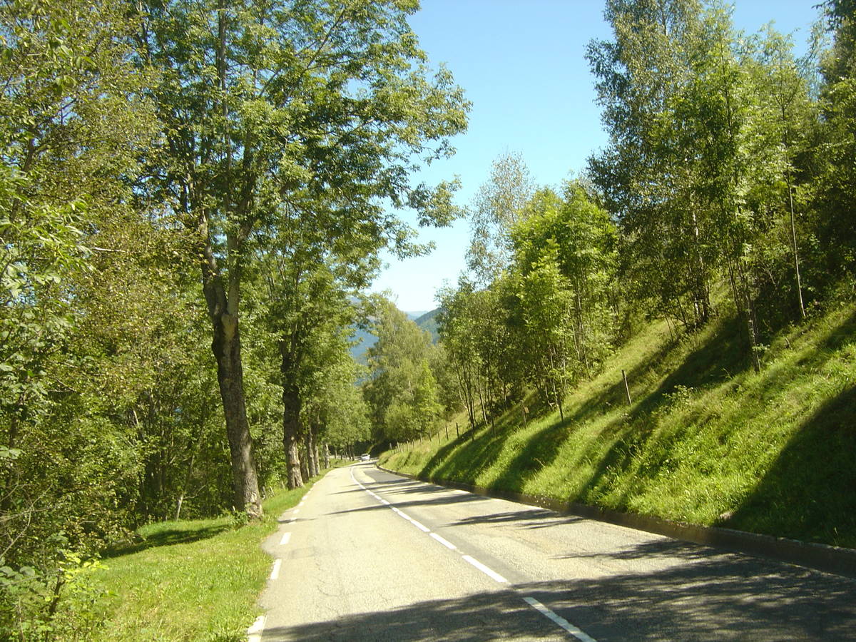
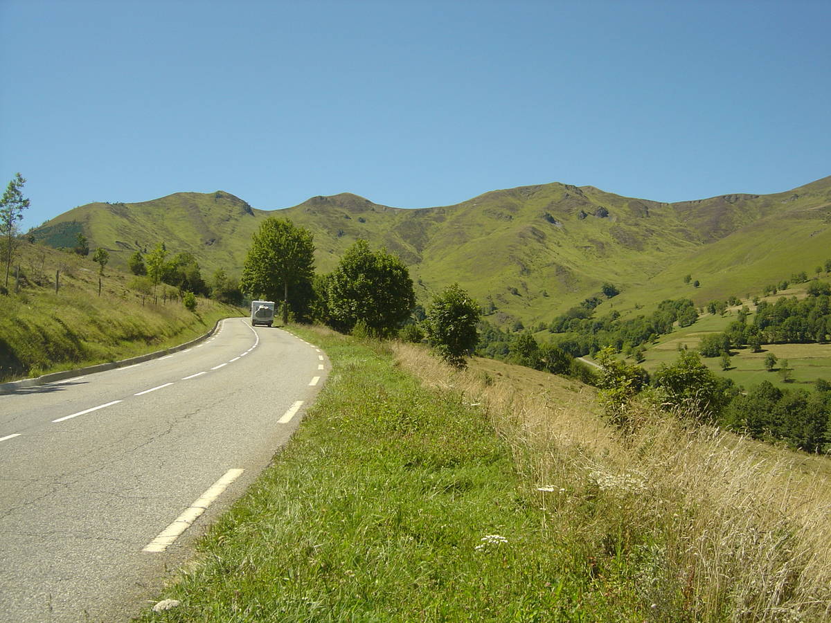
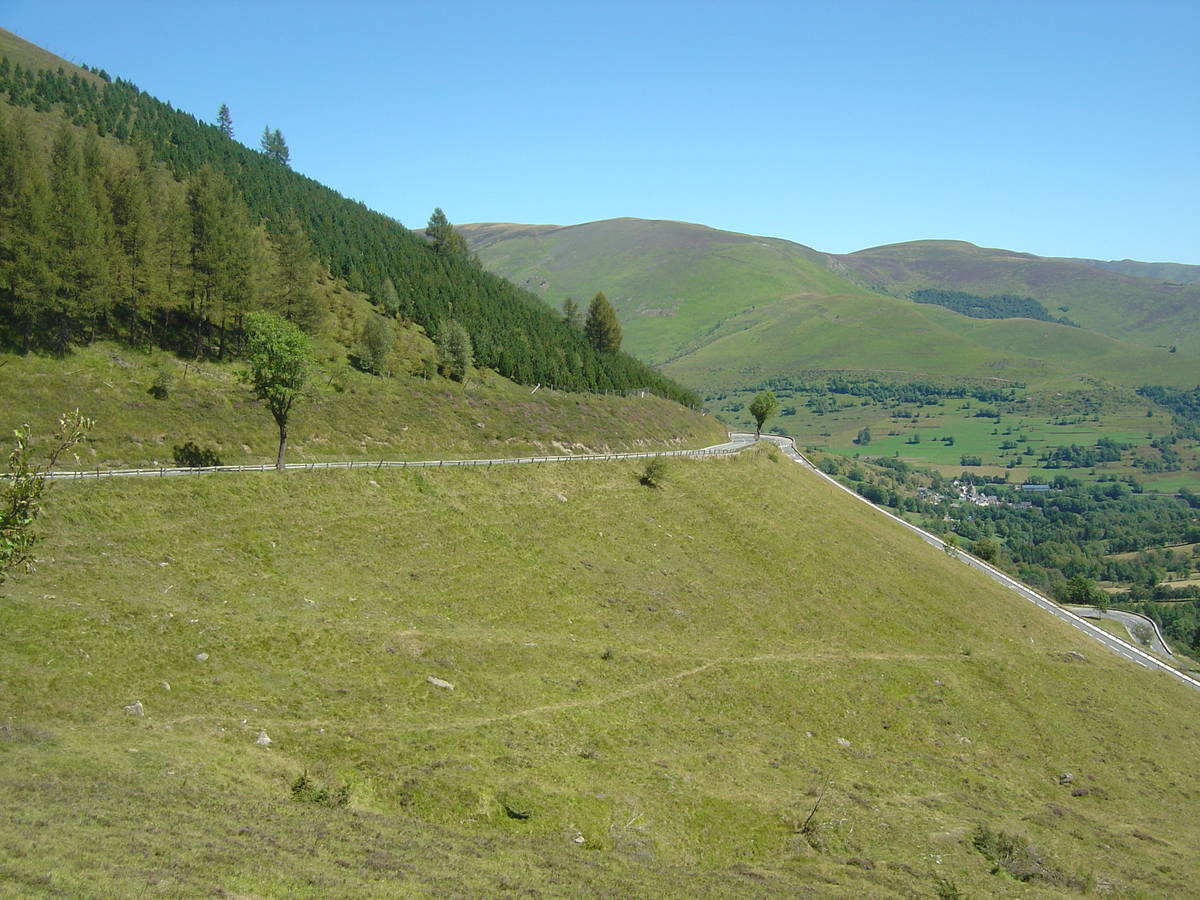
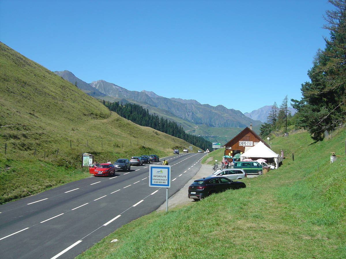
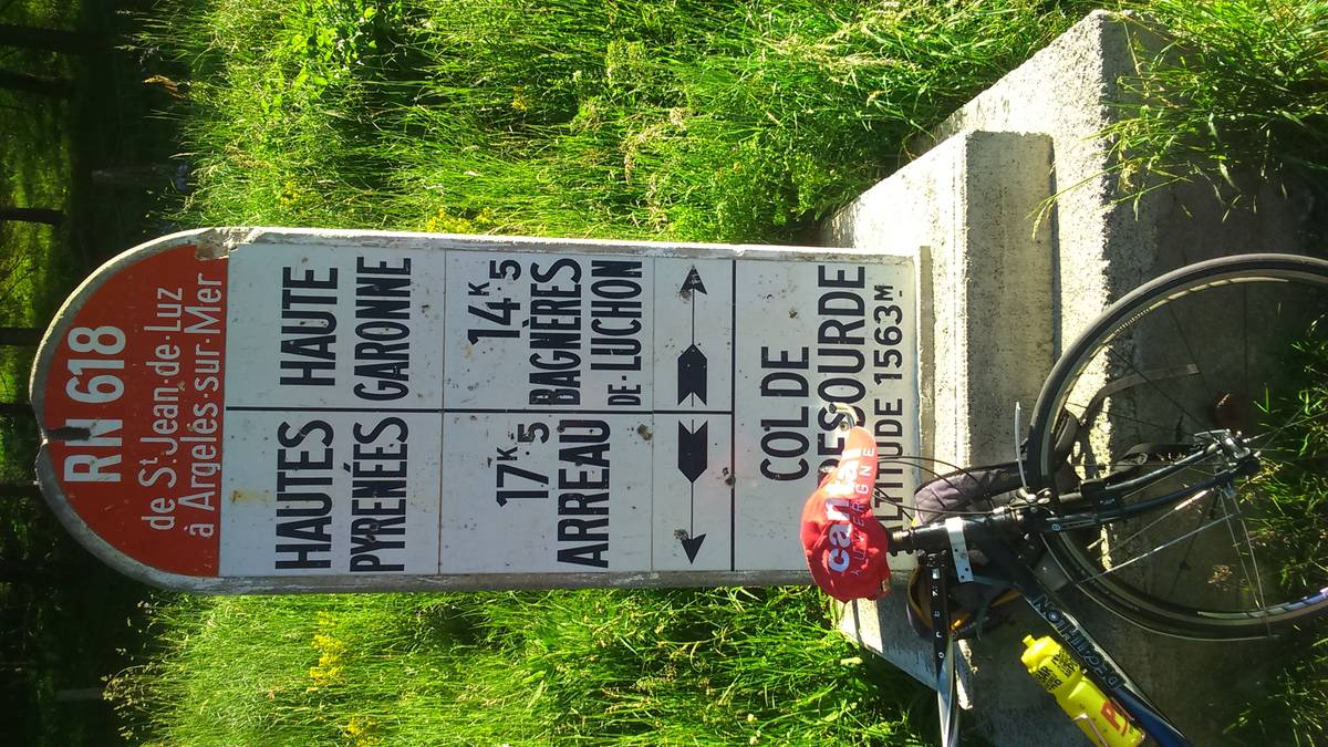
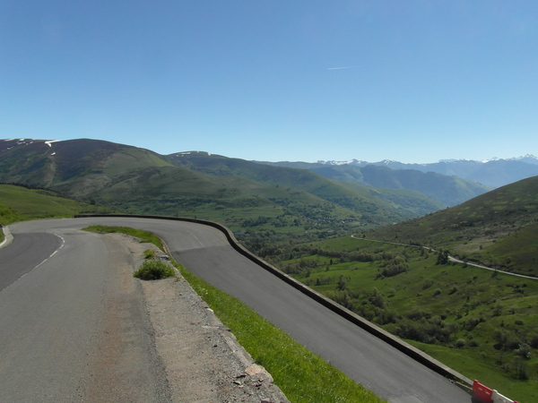
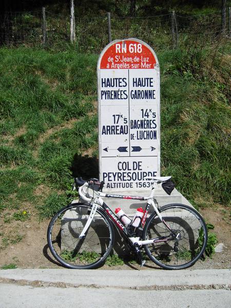
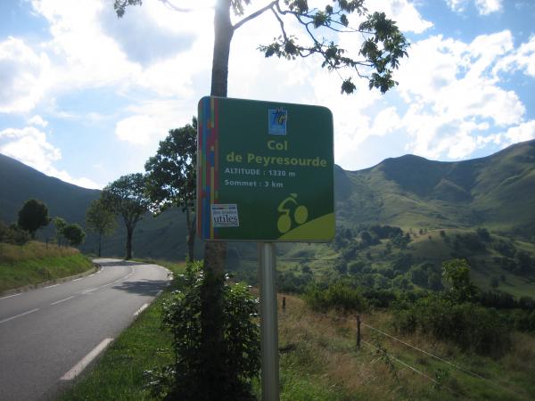
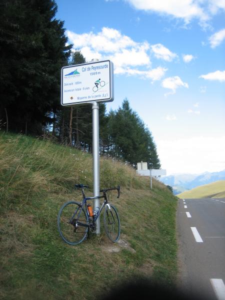
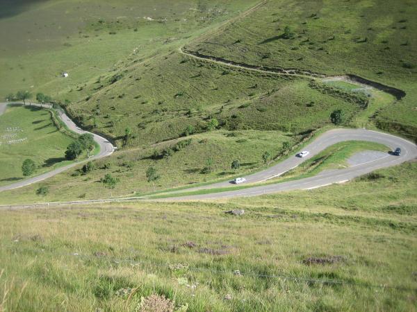
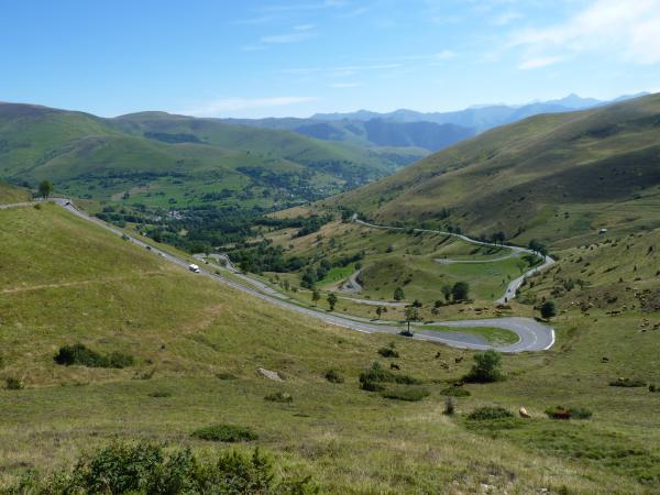
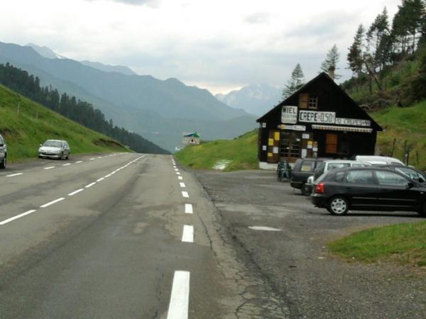
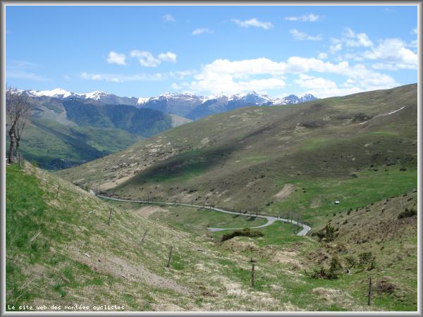
Information
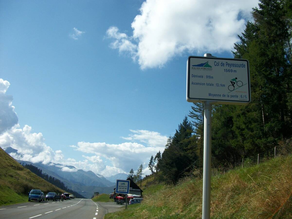
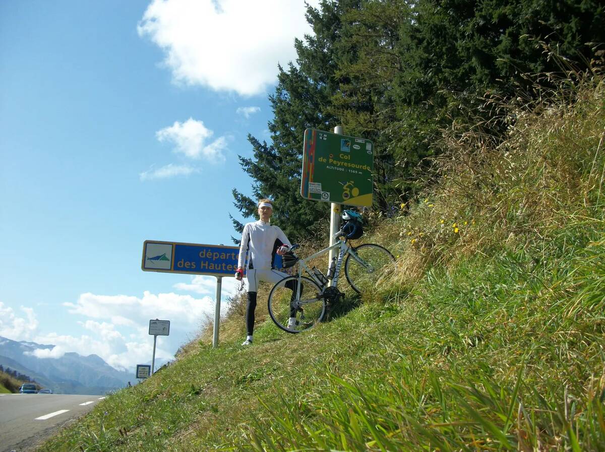
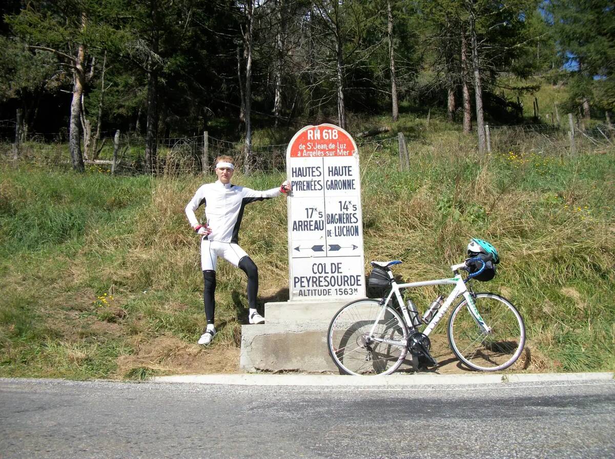
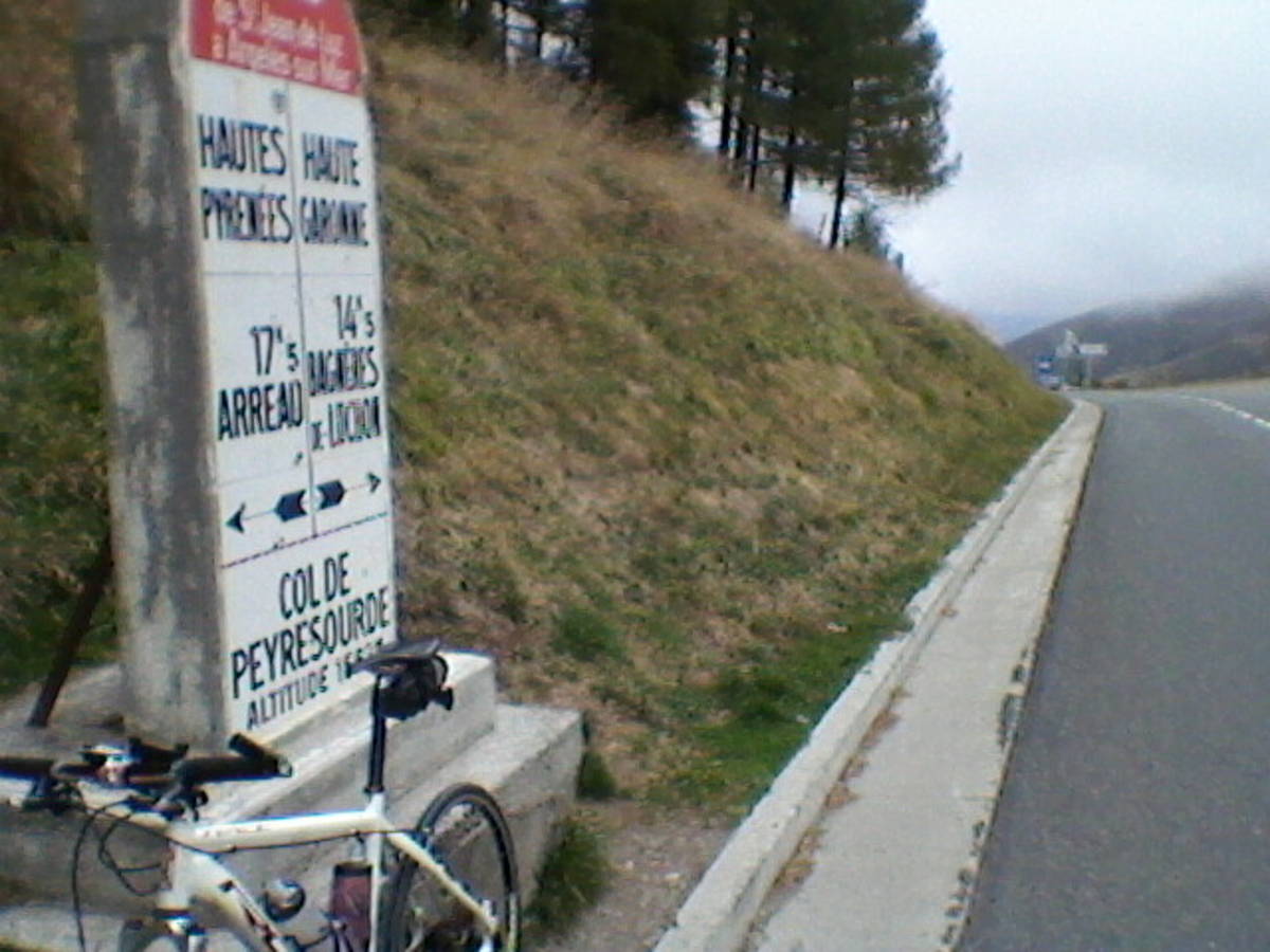
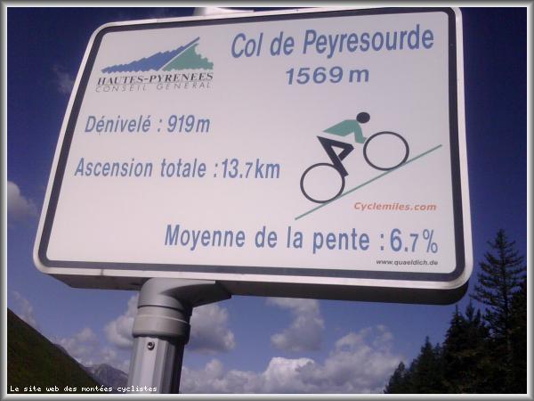
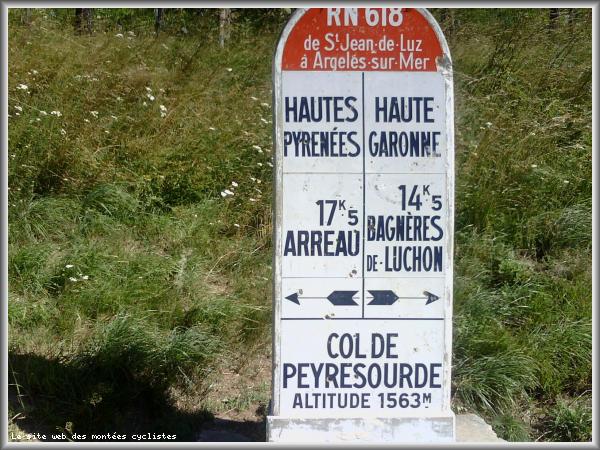
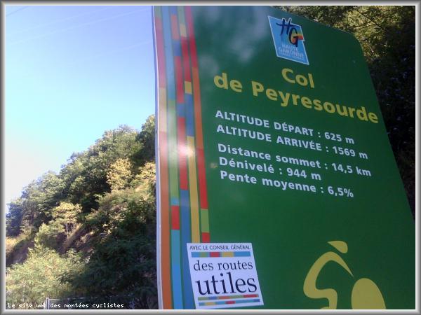
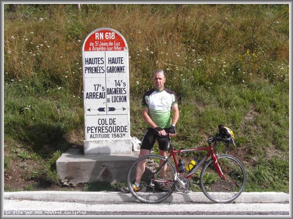
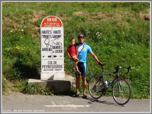
| Name : | Col de Peyresourde |
| Altitude : | 1569 m |
| Start : | Bagneres de Luchon |
| Length : | 13.74 km |
| Elevation gain : | 944 m |
| % Avg : | 6.87% |
| % Max : | 11.7% |
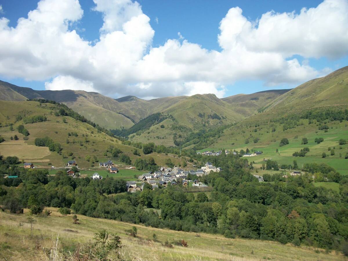
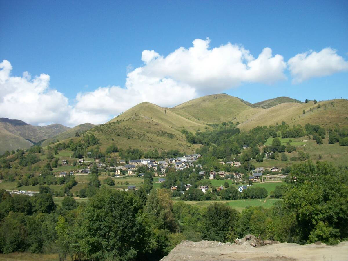
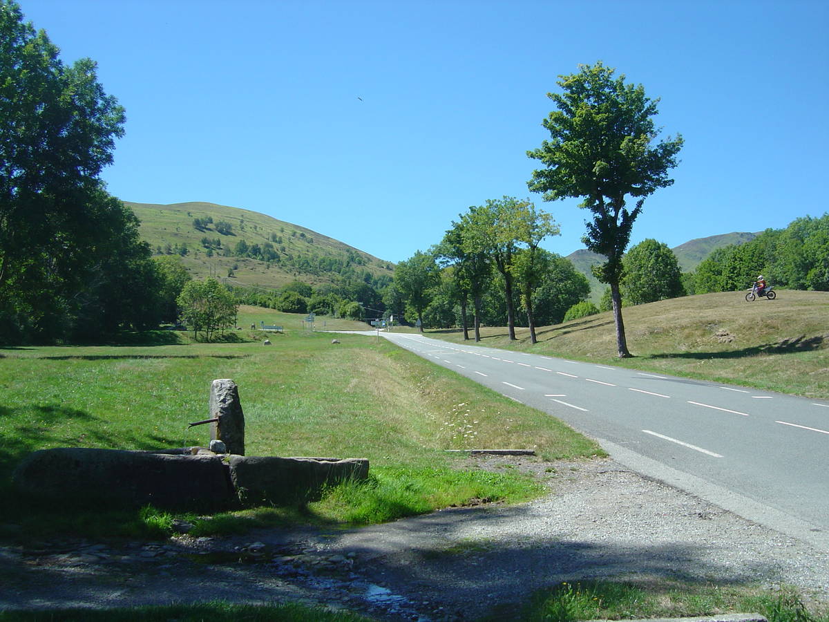
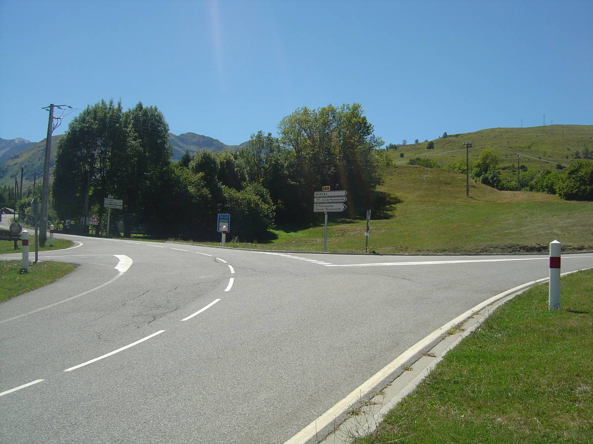
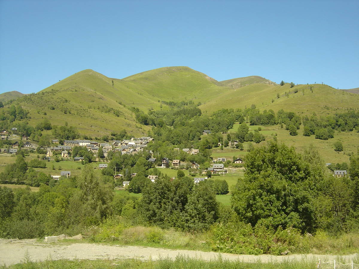
| Mountain range : | Central pyrenees, France |
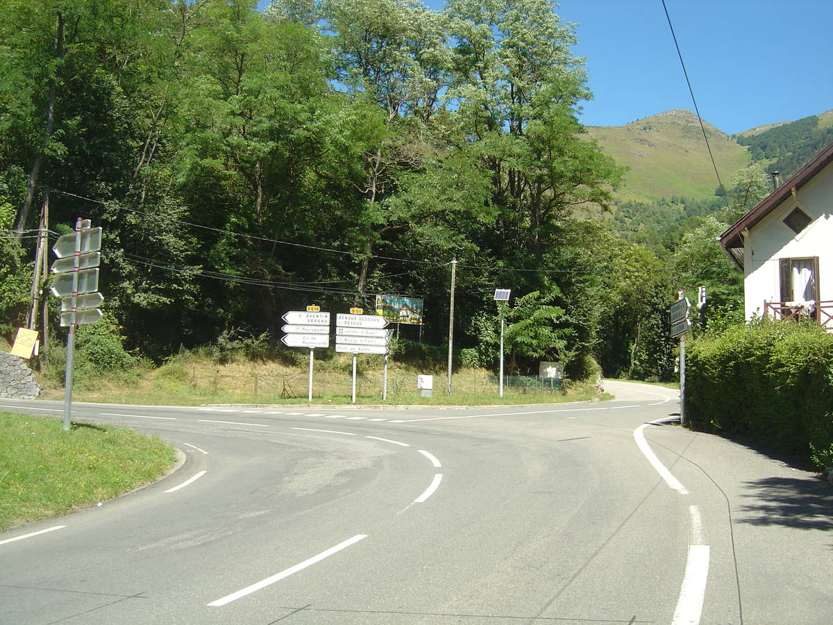
There's other climb of this summit
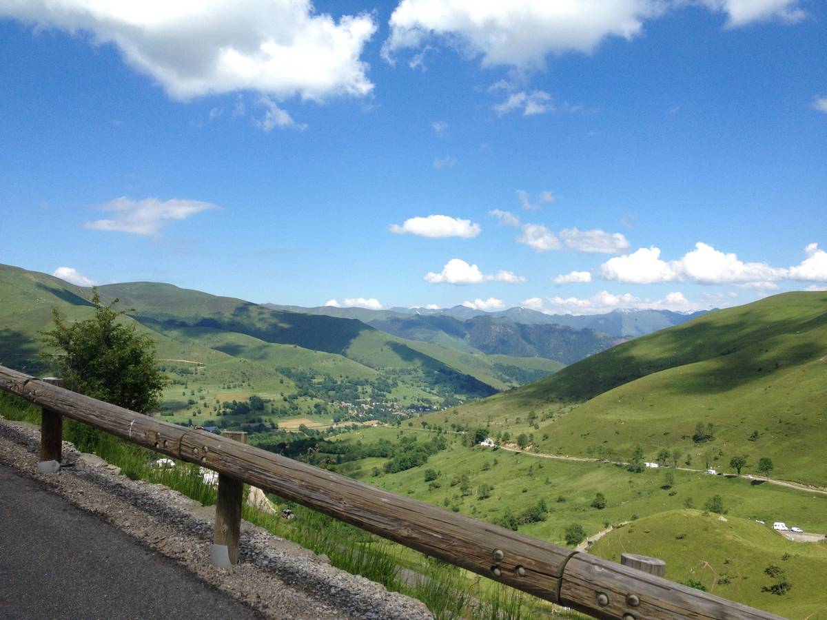
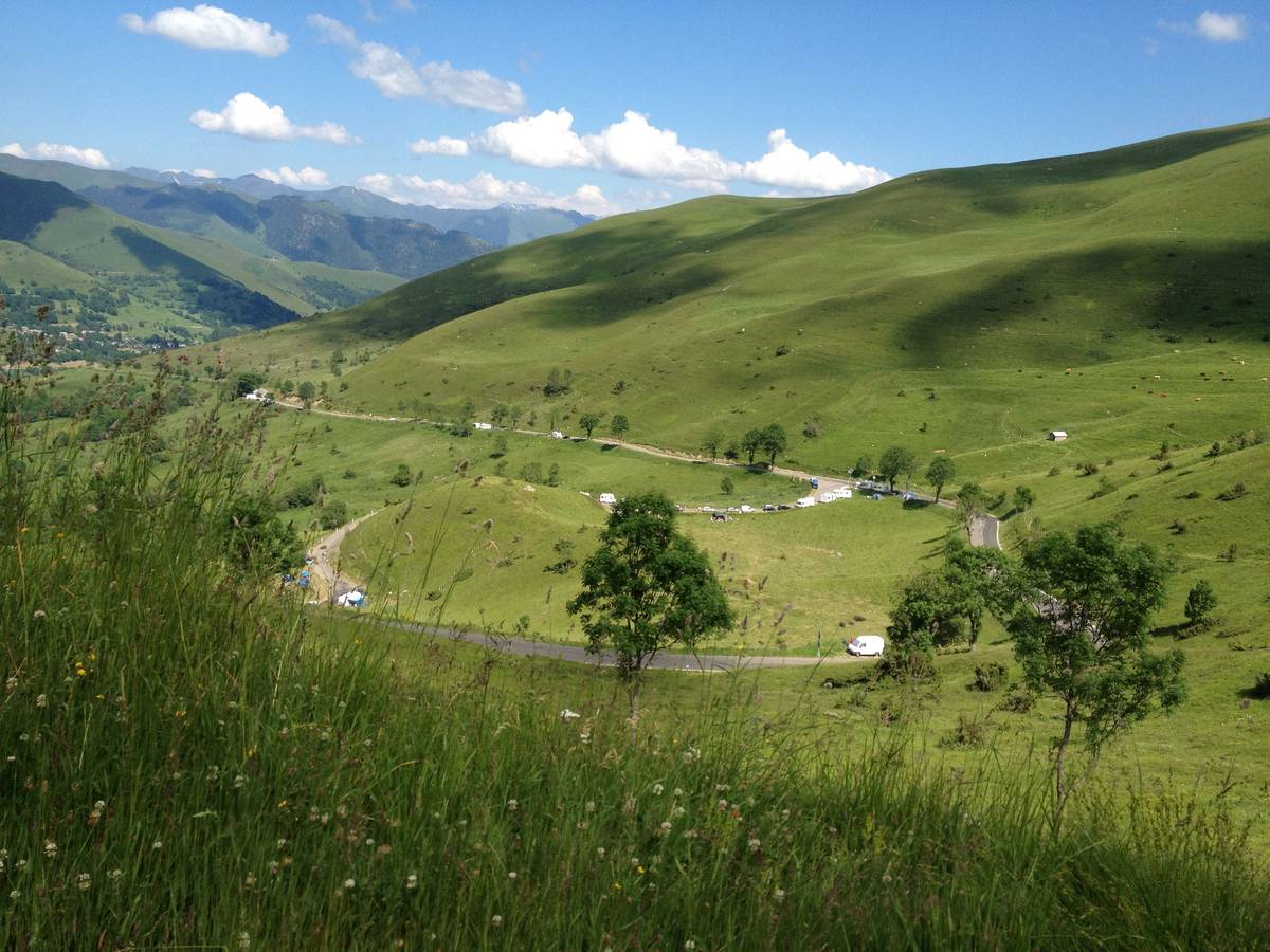
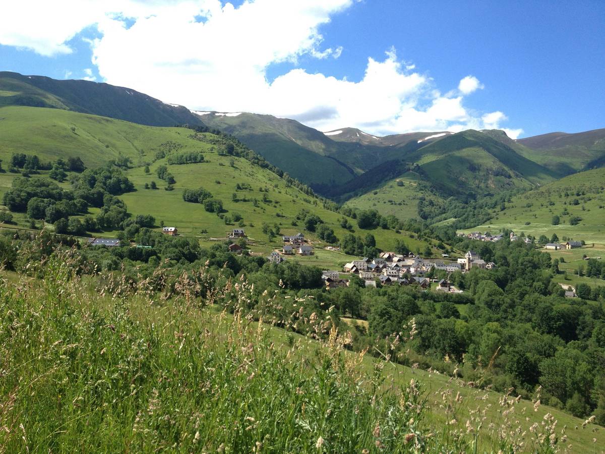
Map
Profile

 This climb is reserved for cyclists on 13/07/2026 : This climb is reserved for cyclists on 21/07/2025 : This climb is reserved for cyclists on 15/07/2024 : This climb is reserved for cyclists on 10/07/2023 :