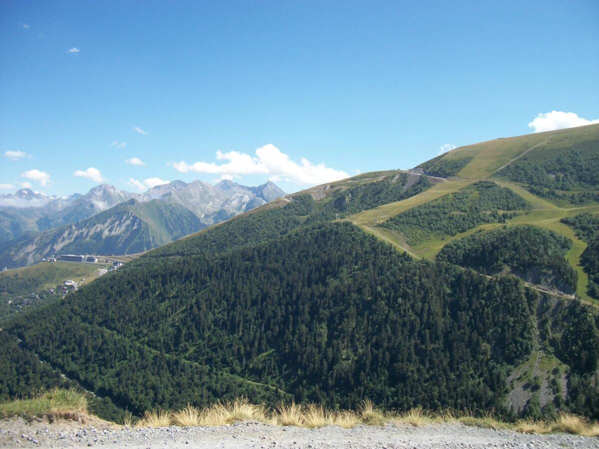
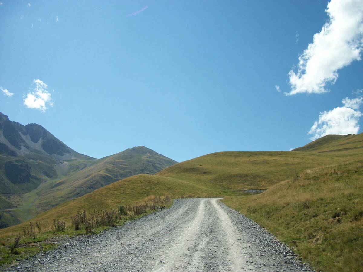
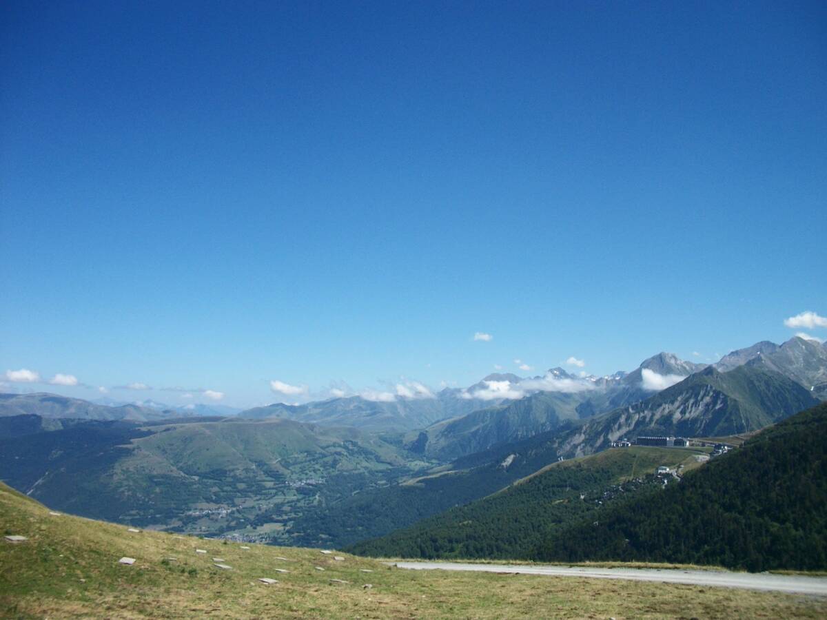
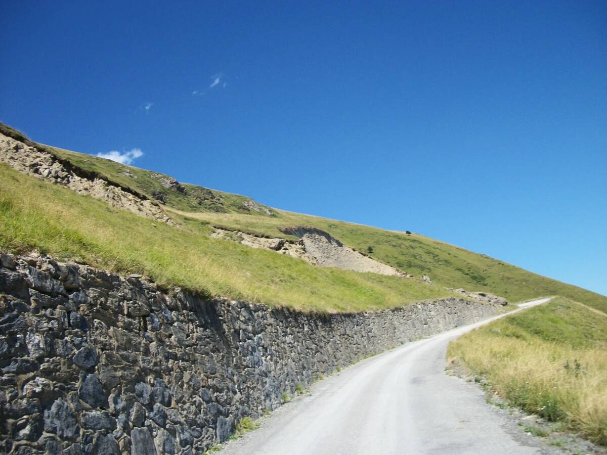
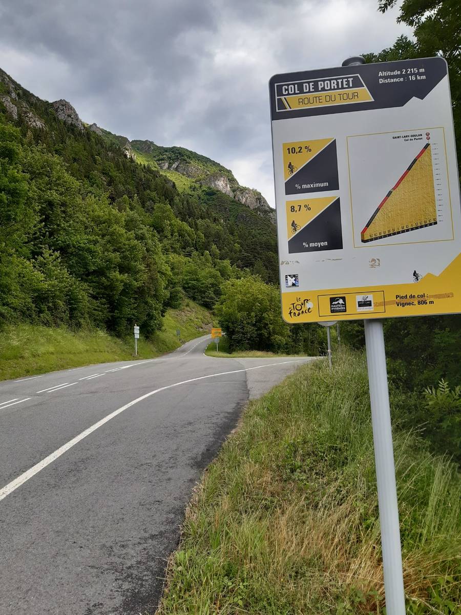
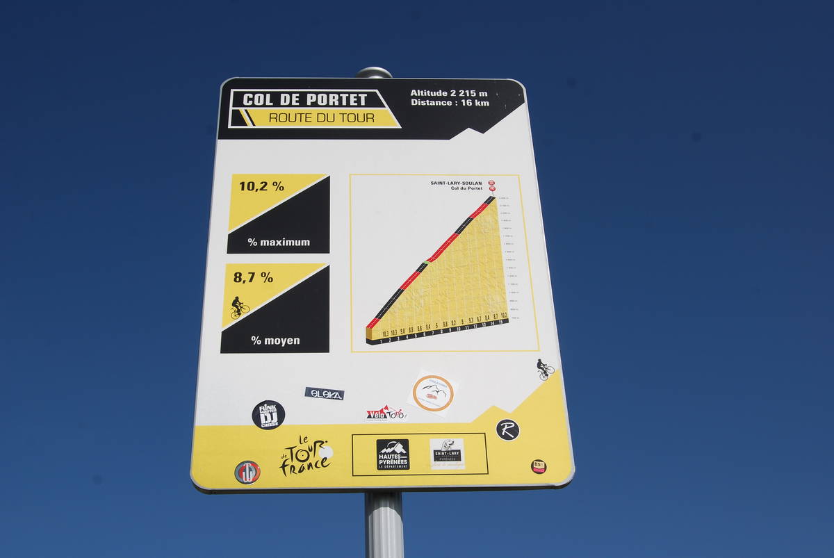
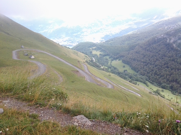
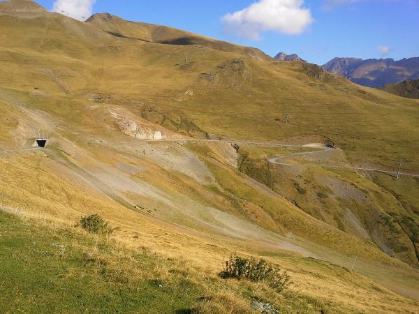
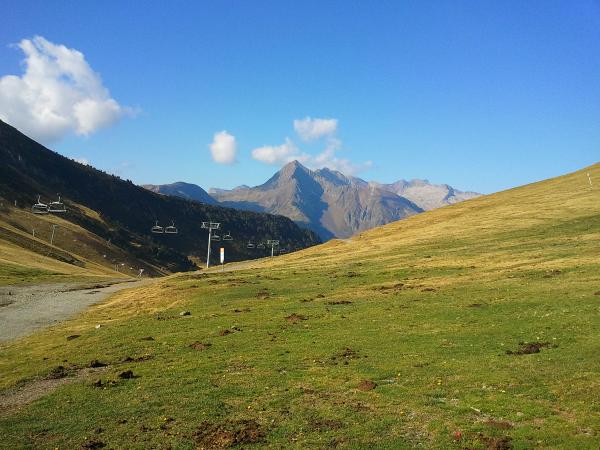
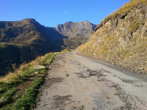
Information
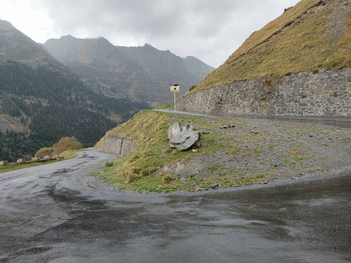
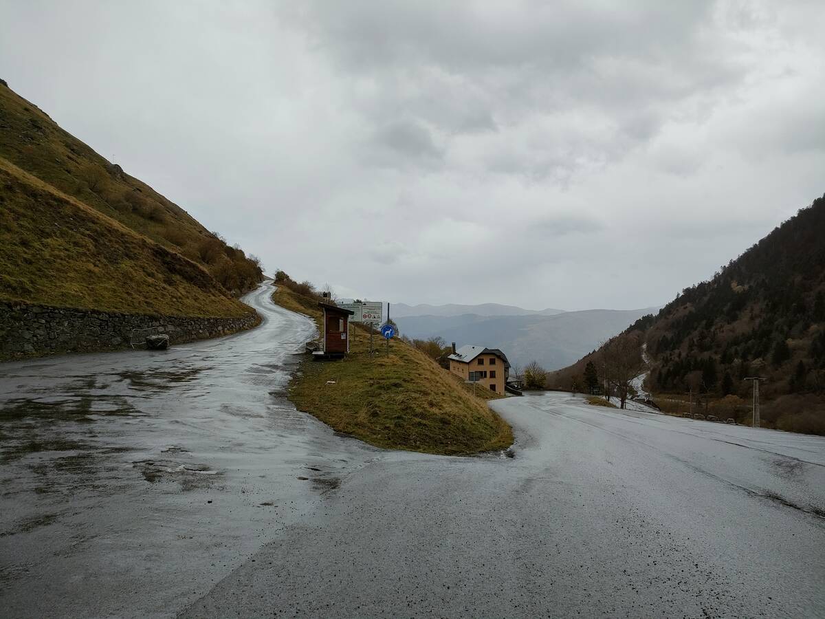
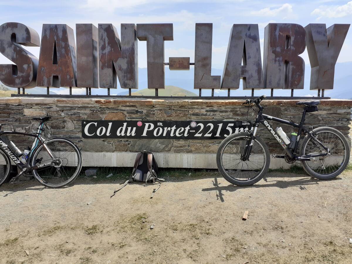
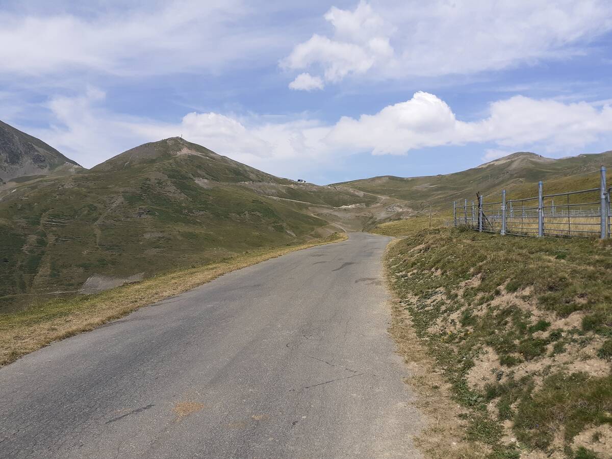
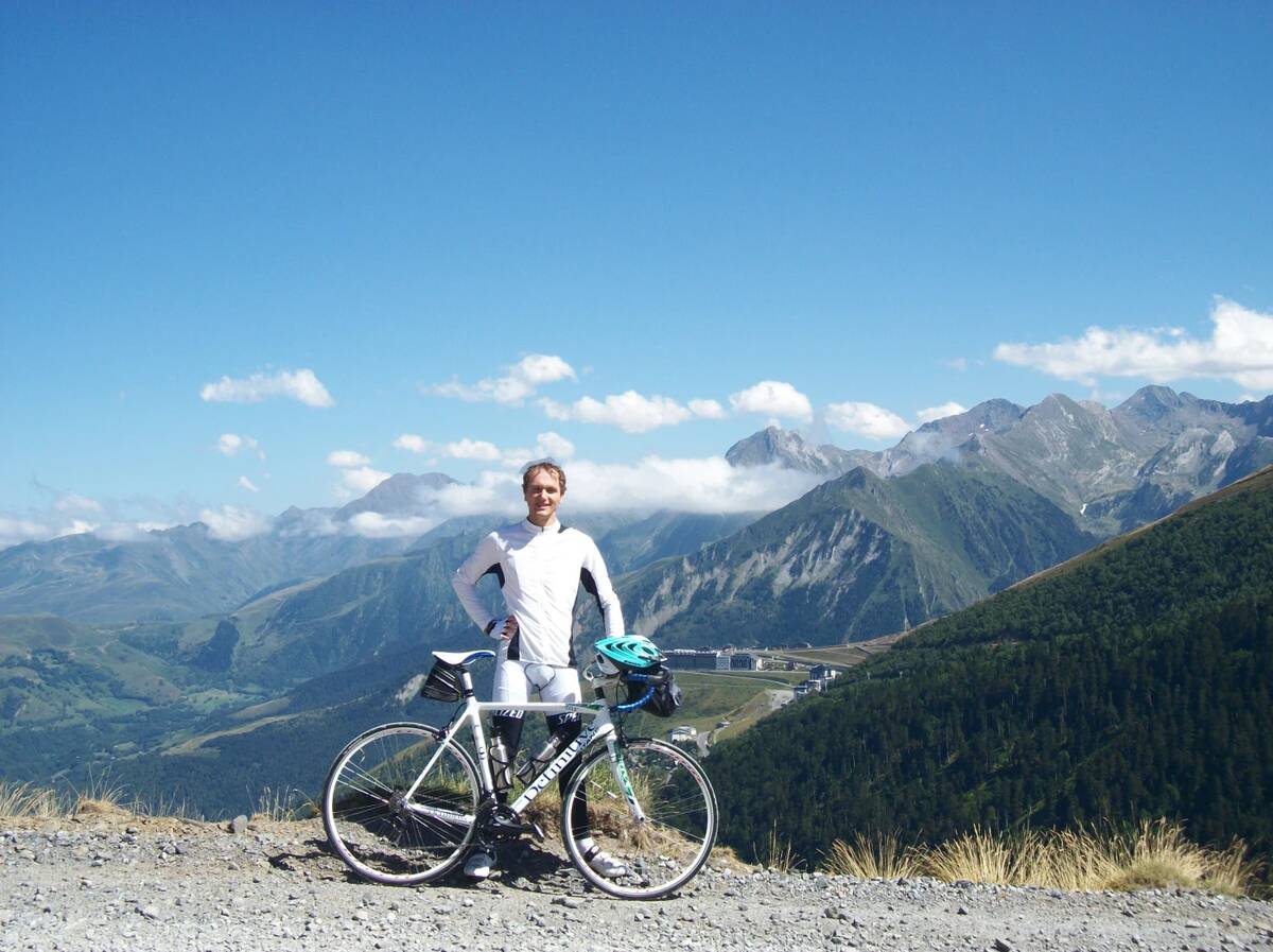
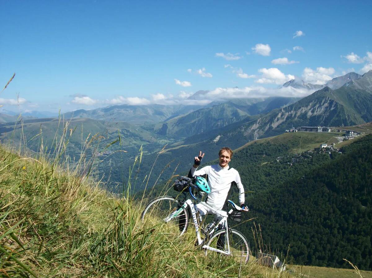
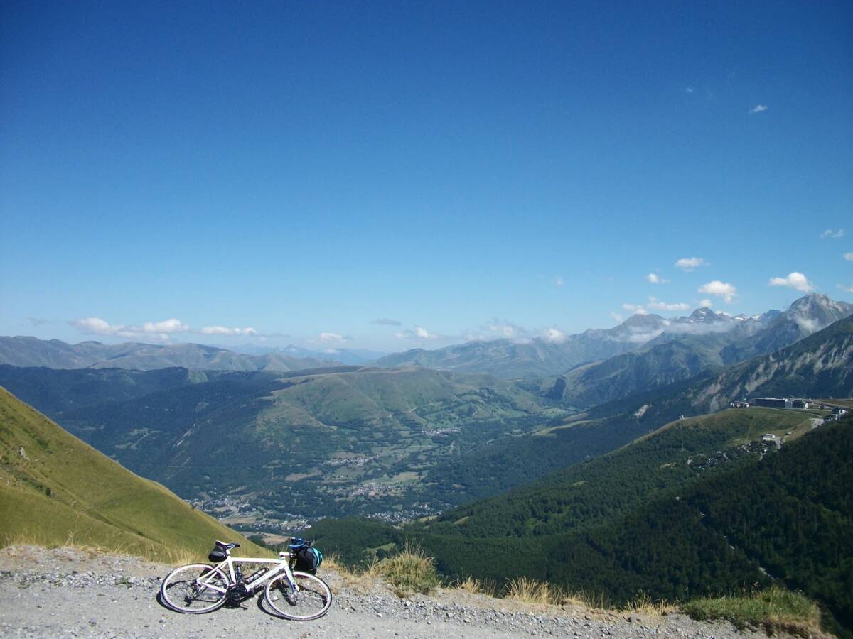
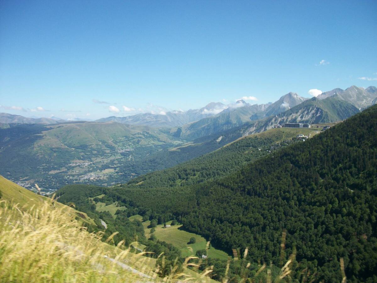
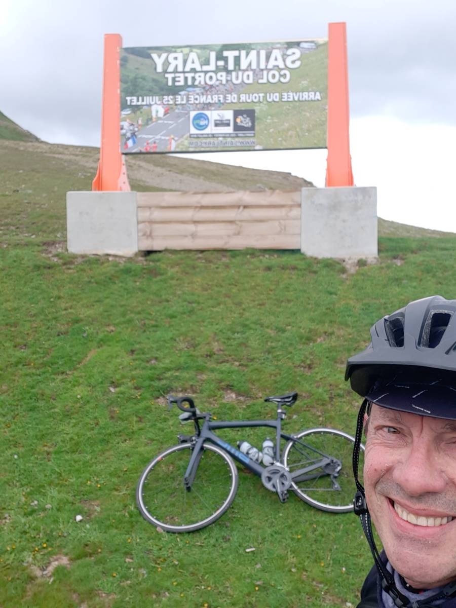
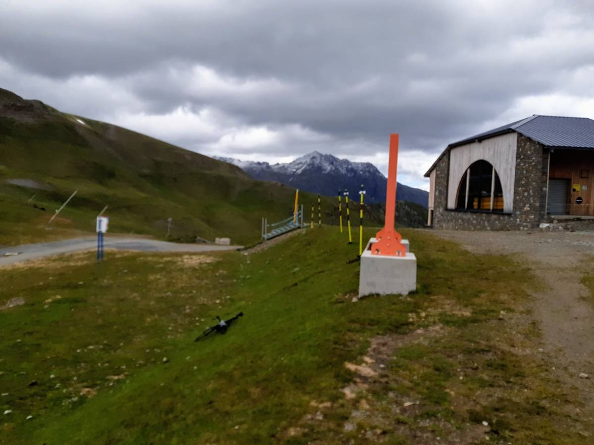
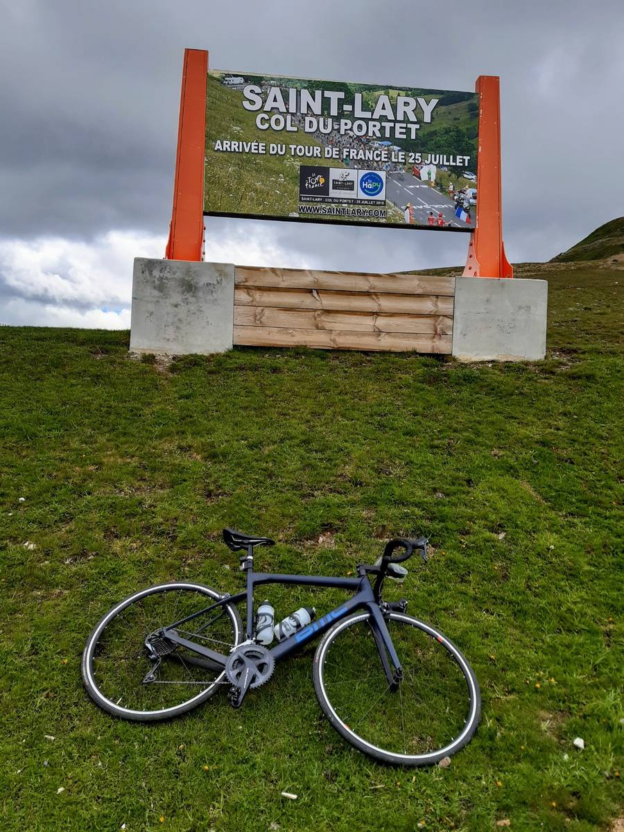
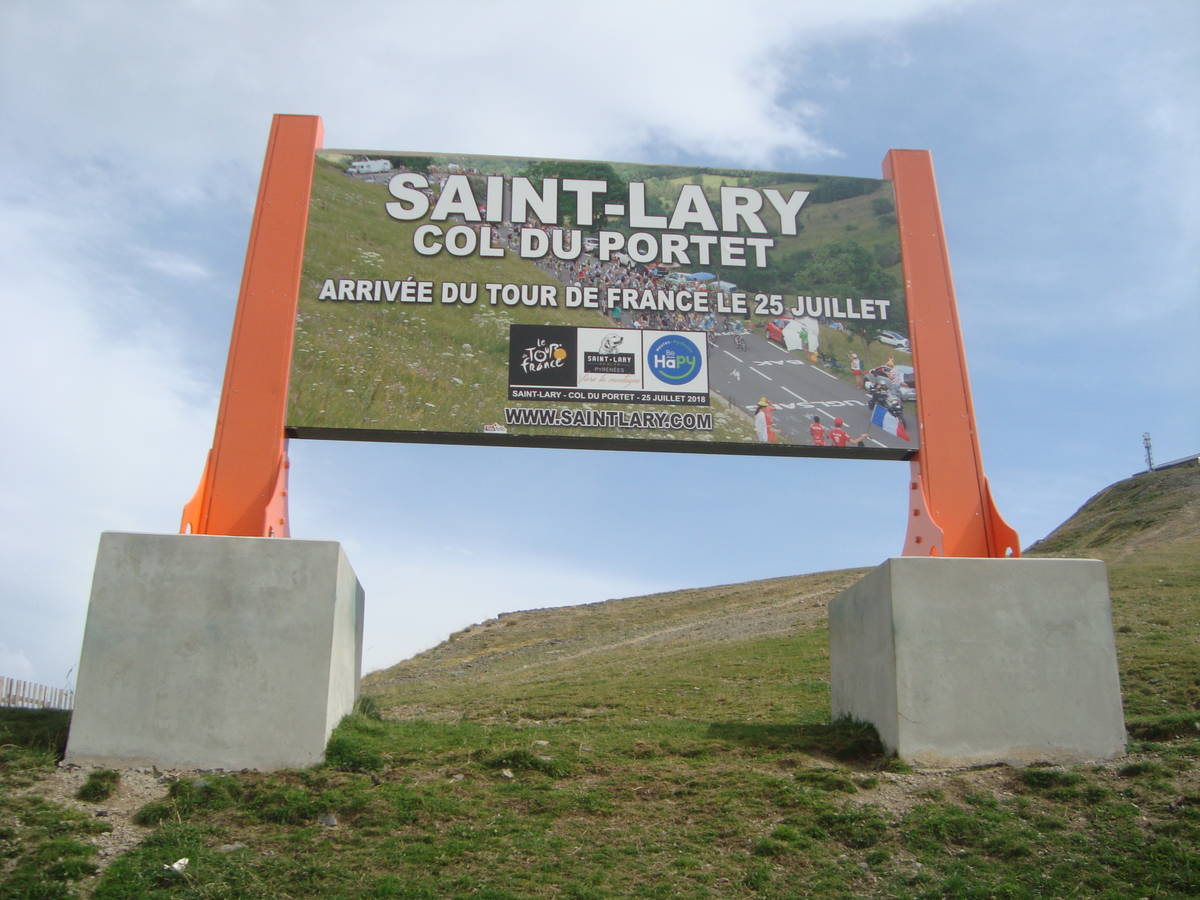
| Name : | Col de Portet |
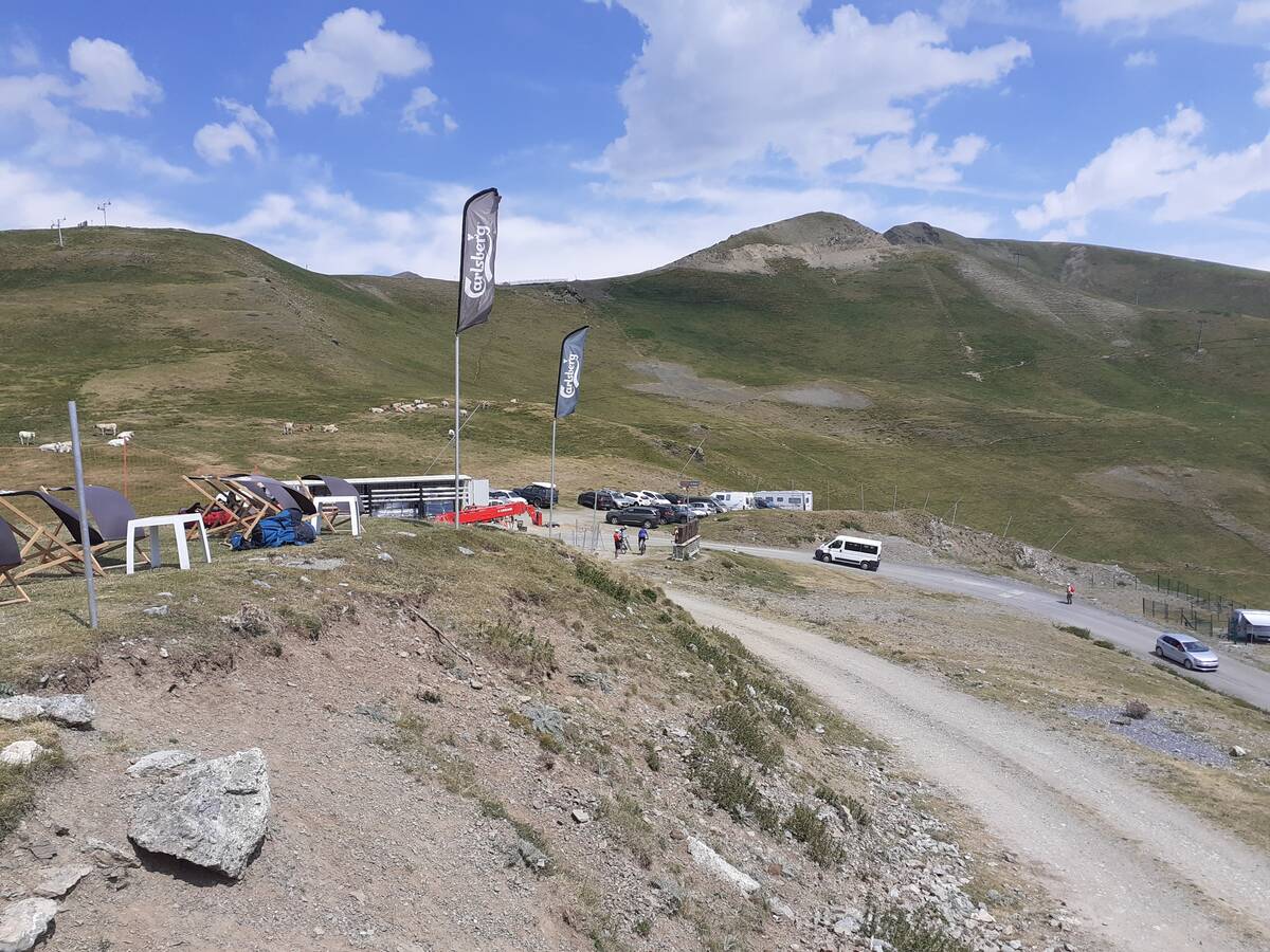
| Altitude : | 2215 m |
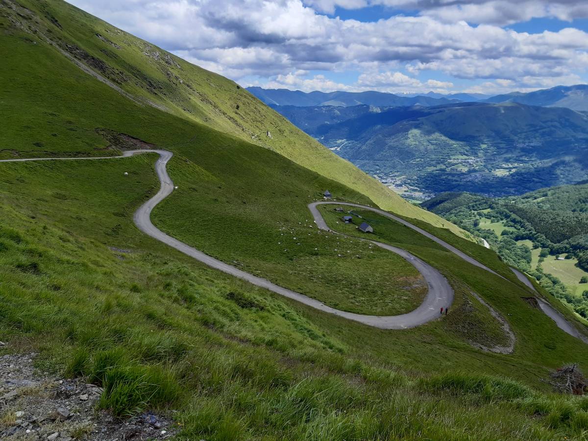
| Start : | Saint Lary Soulan |
| Length : | 17.00 km |
| Elevation gain : | 1414 m |
| % Avg : | 8.32% |
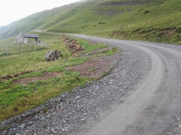
| % Max : | 12.5% |
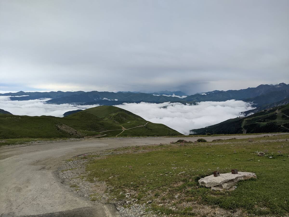
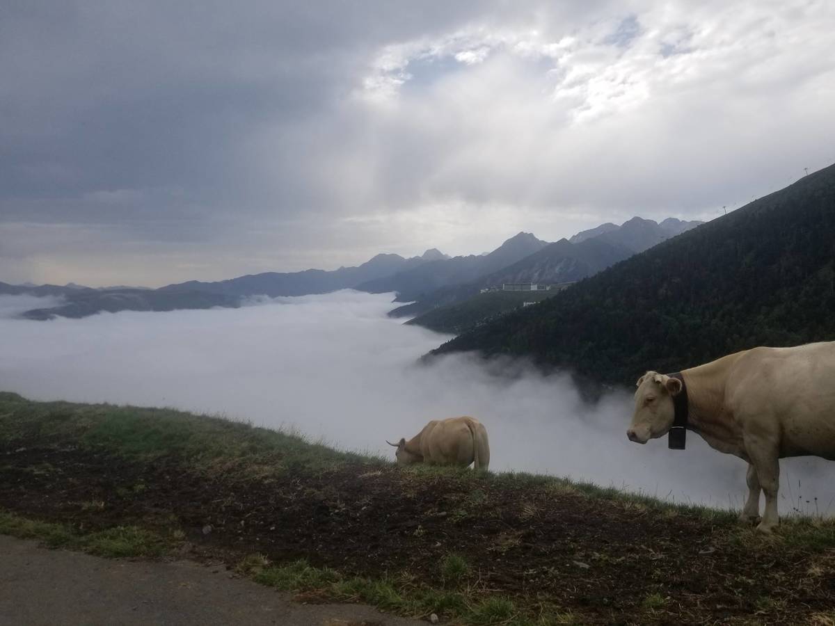
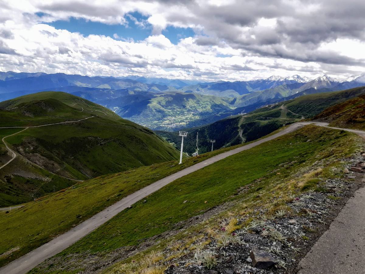
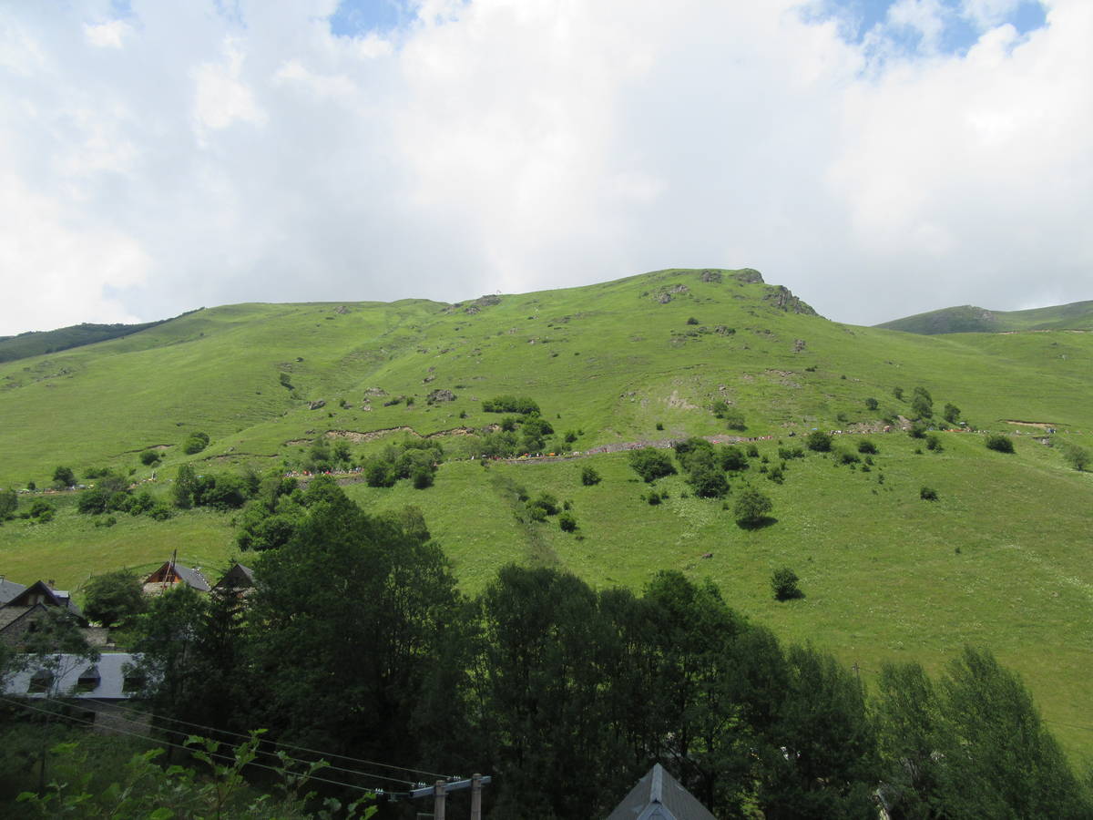
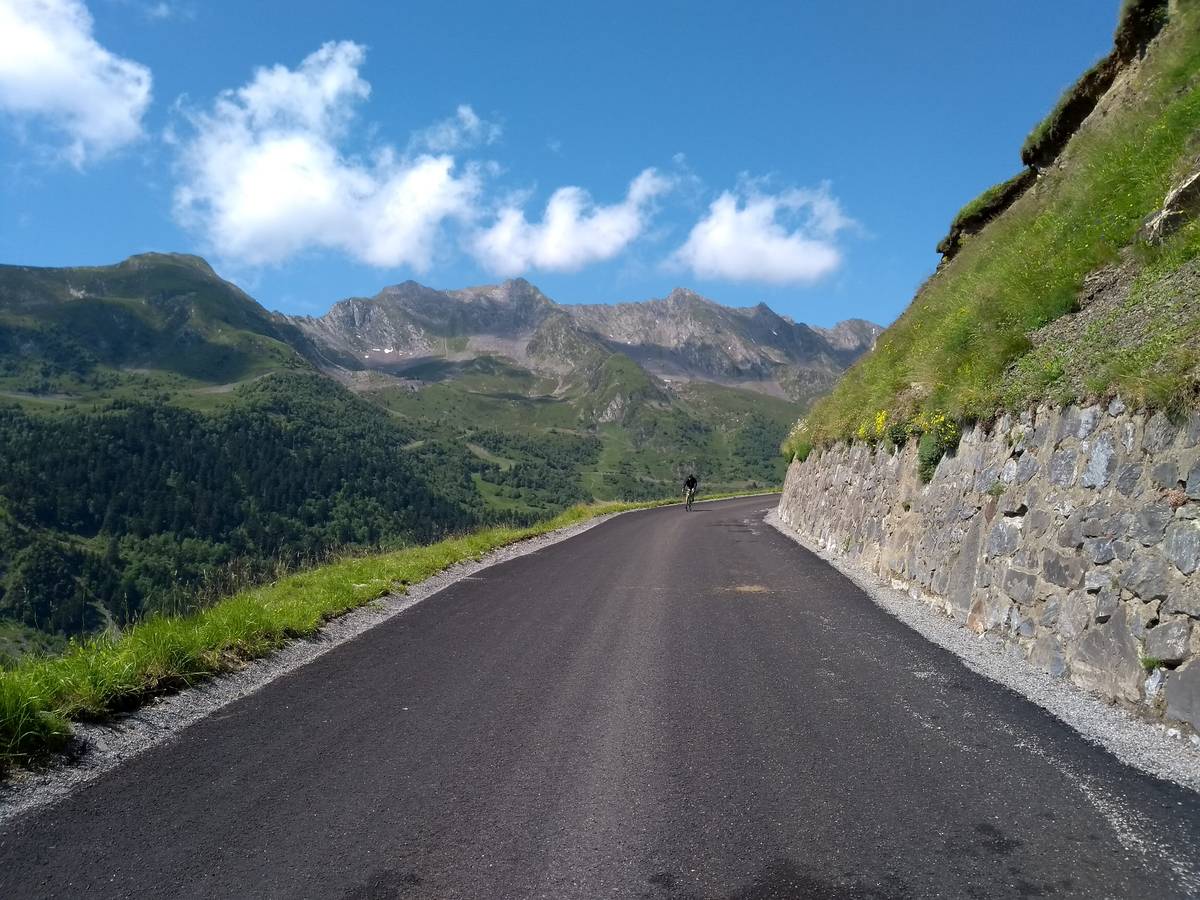
| Mountain range : | Central pyrenees, France |
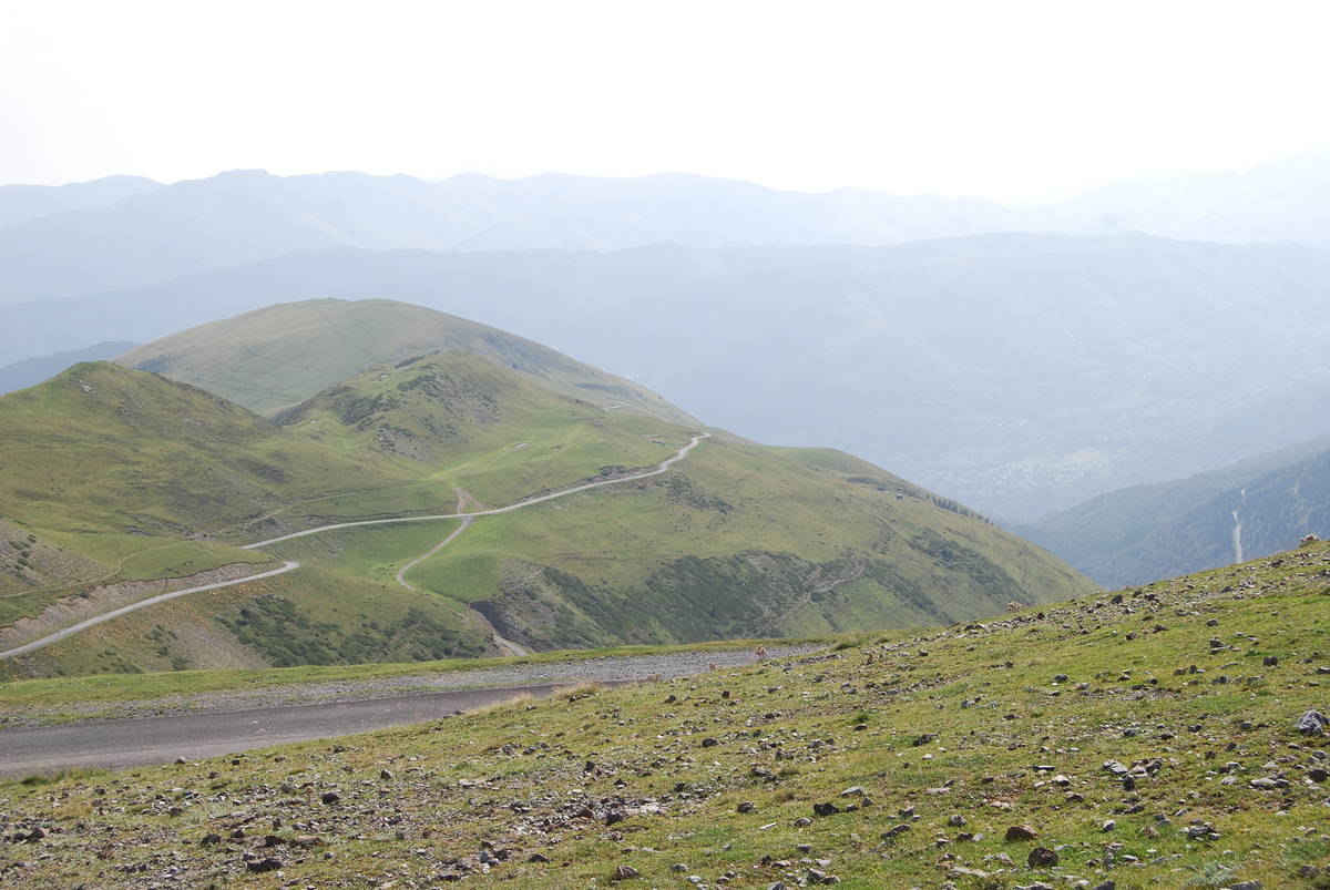
Map
Profile

 This climb is reserved for cyclists on 14/07/2026 : This climb is reserved for cyclists on 22/07/2025 : This climb is reserved for cyclists on 16/07/2024 : This climb is reserved for cyclists on 11/07/2023 : This climb is reserved for cyclists on 22/07/2019 :