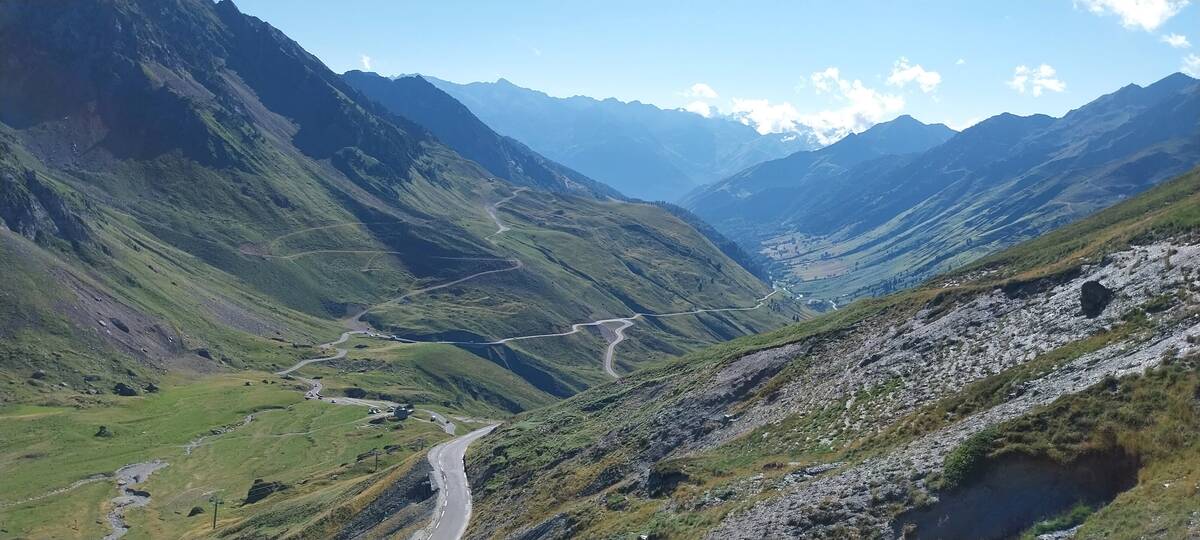
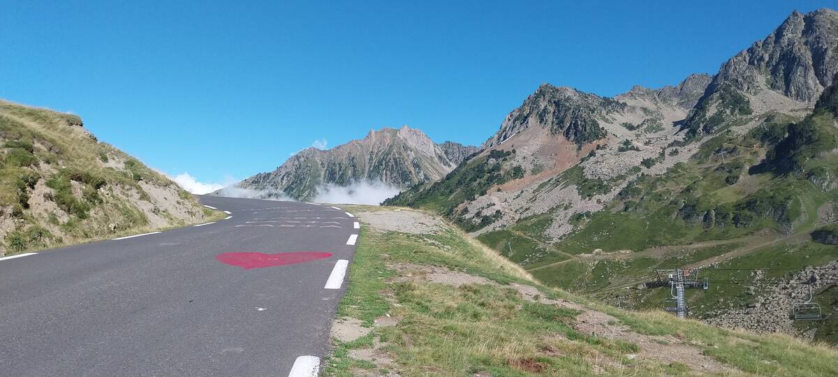
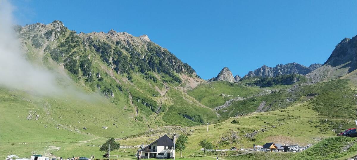
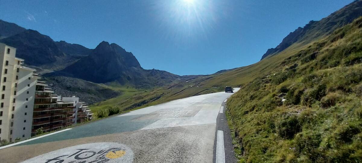
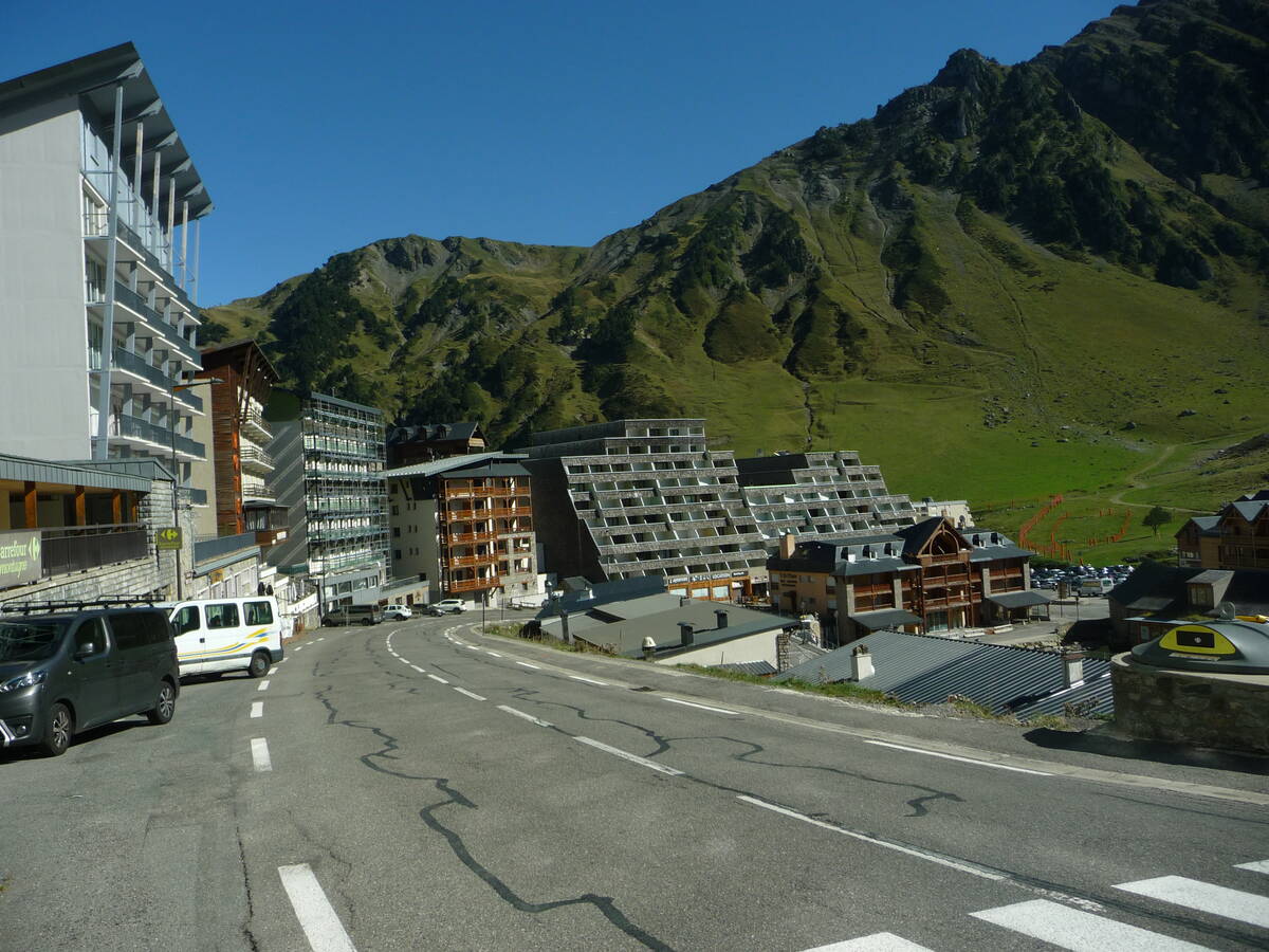
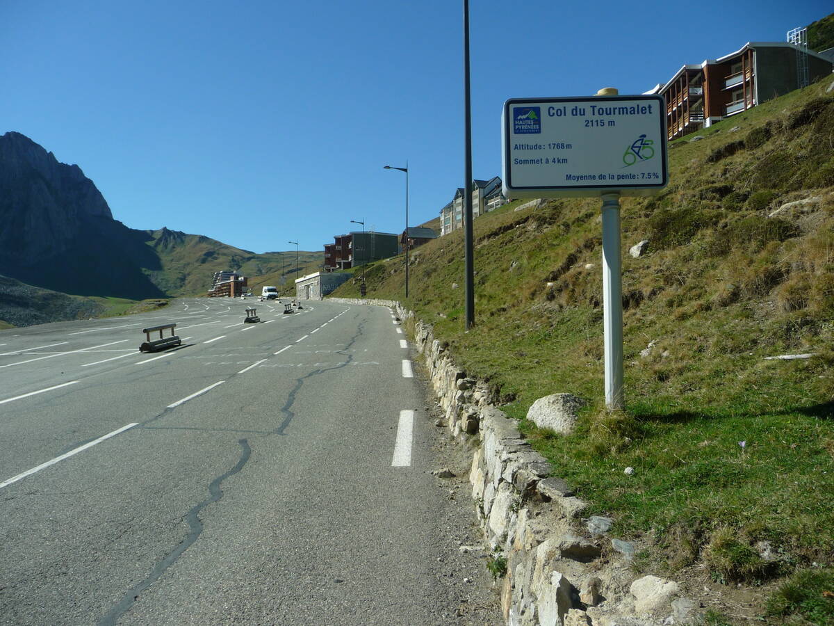
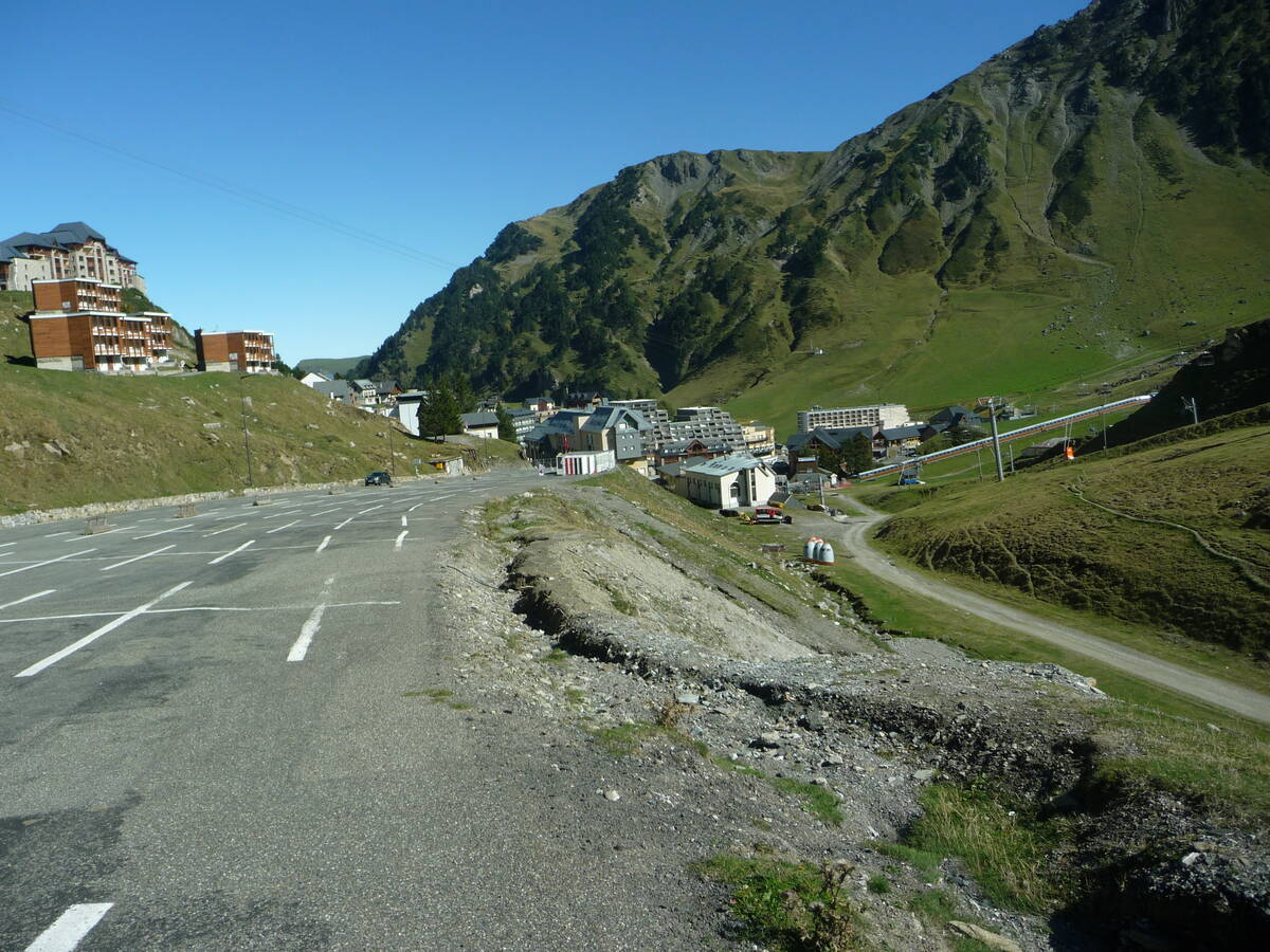
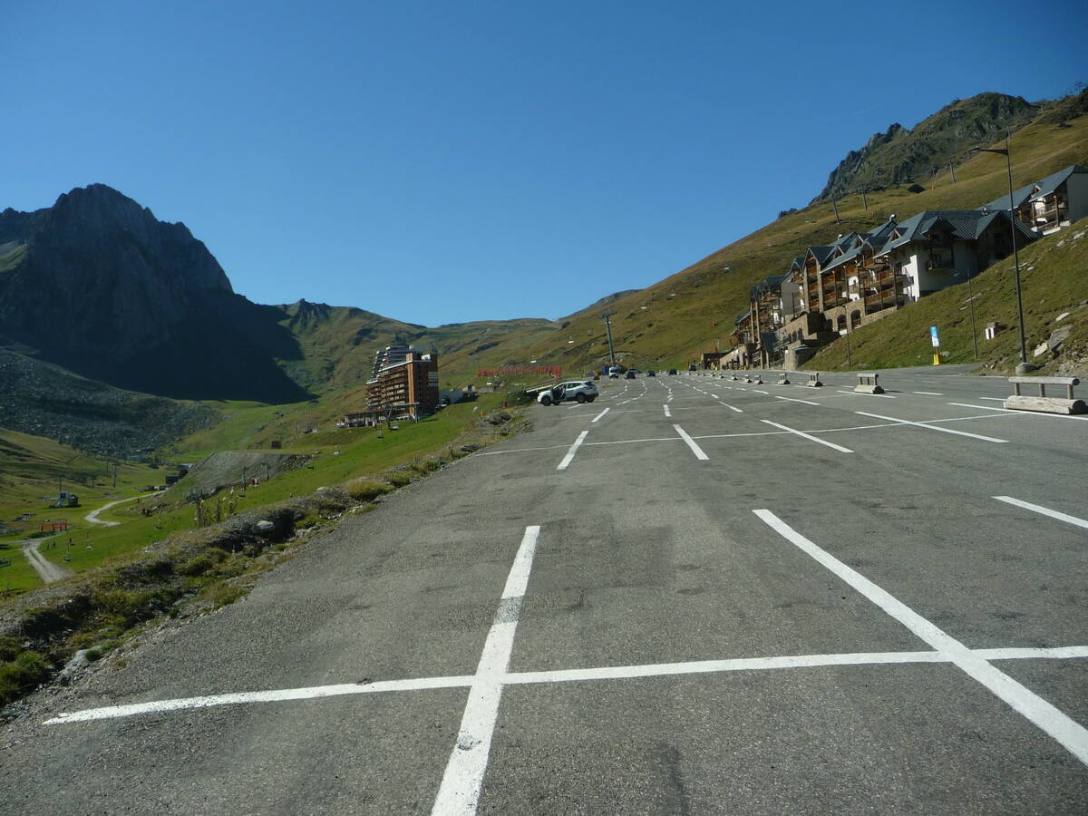
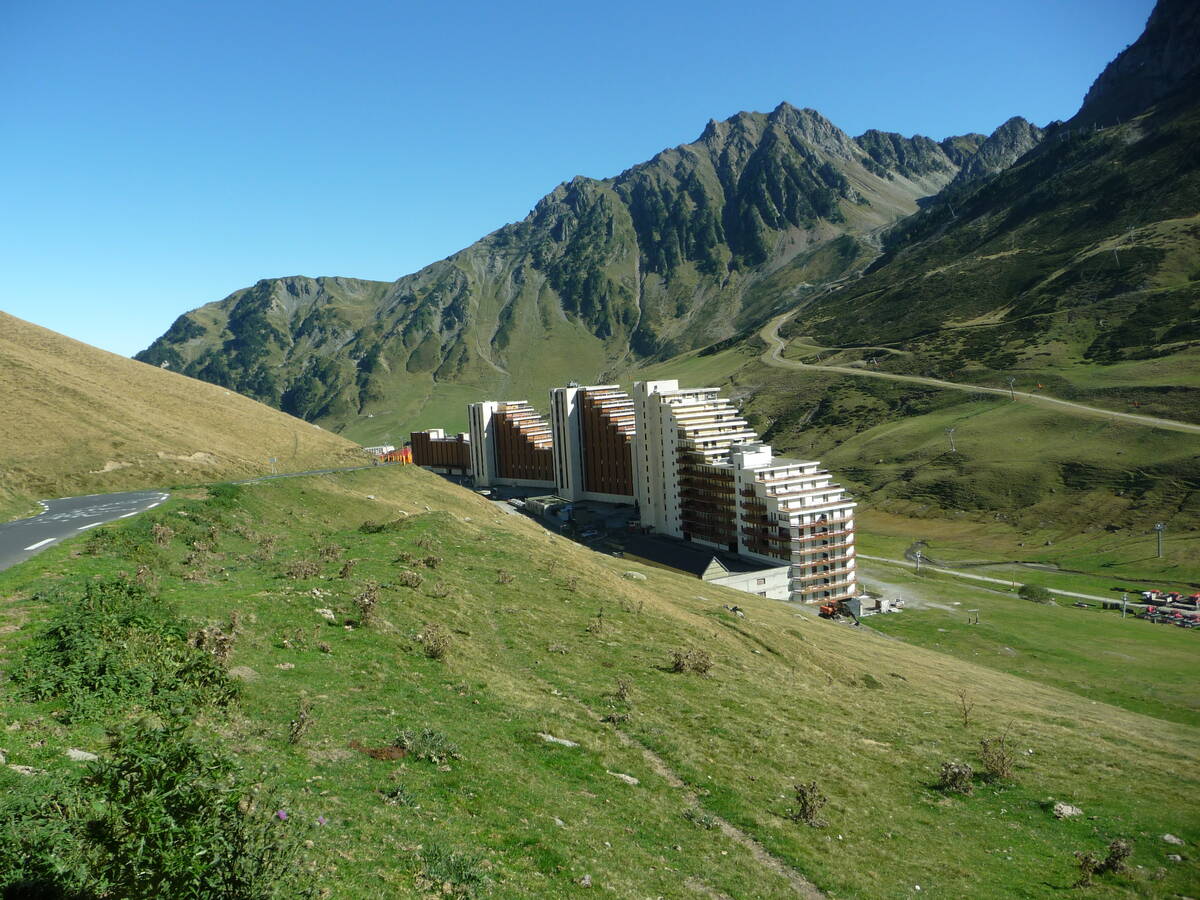
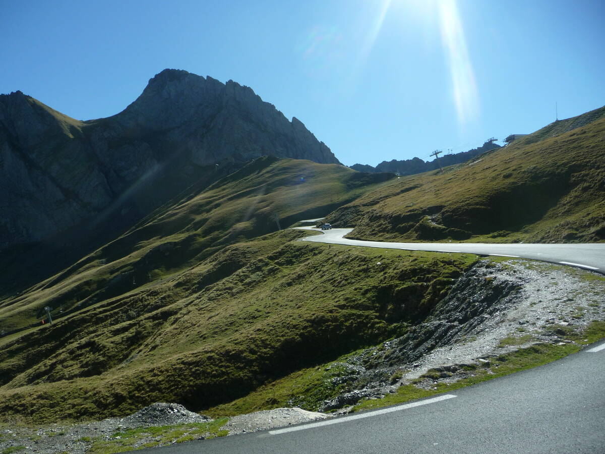
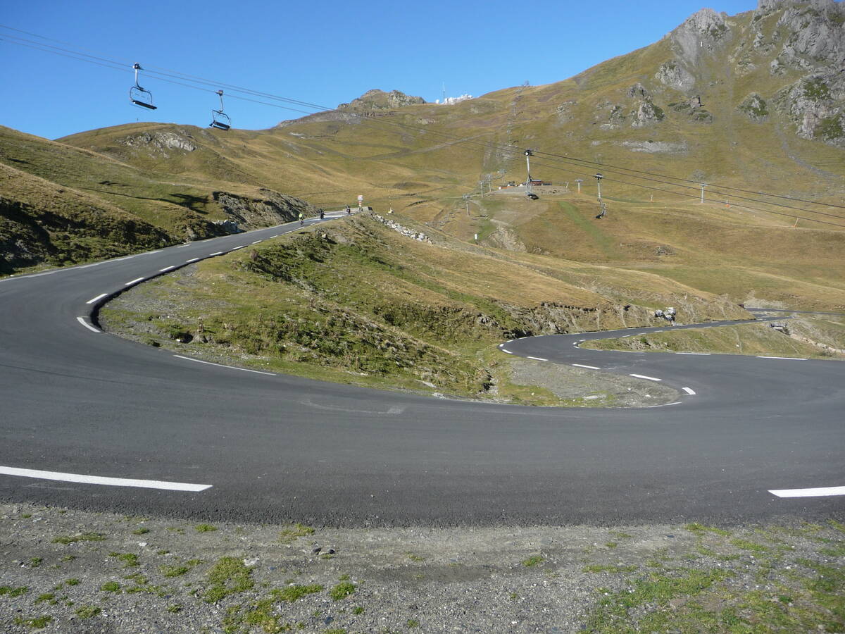
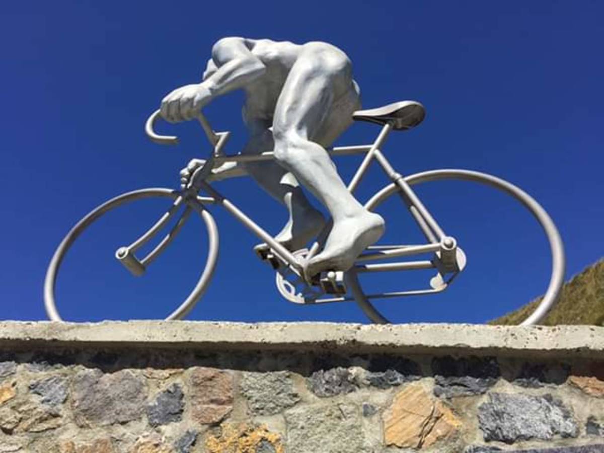
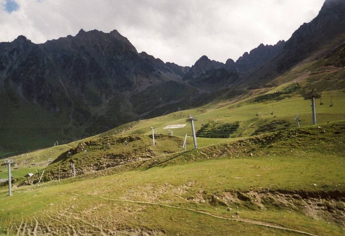
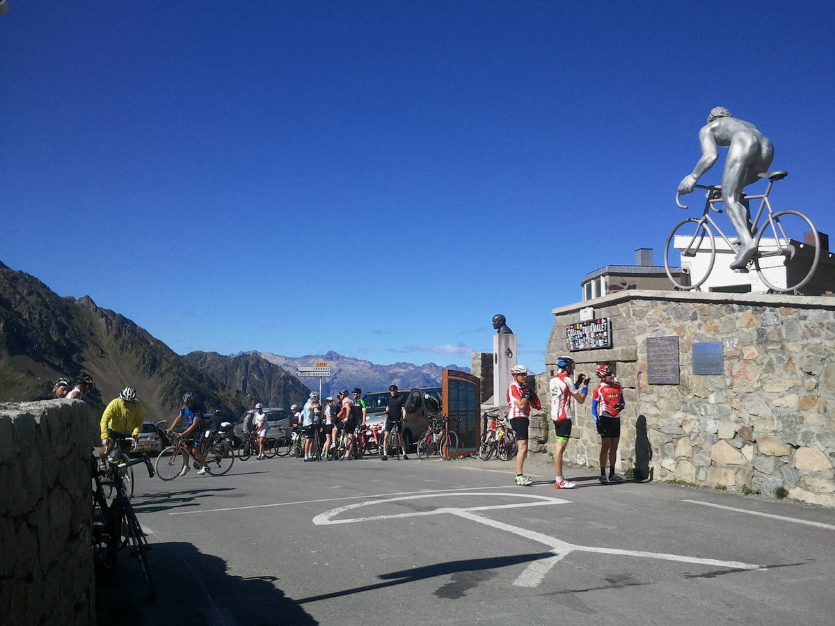
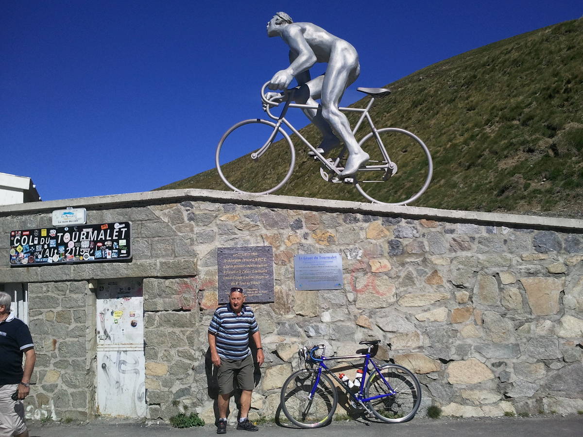
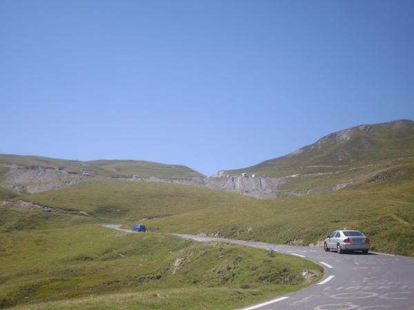
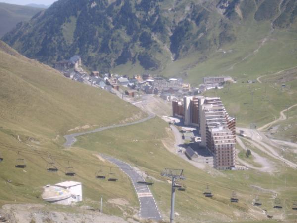
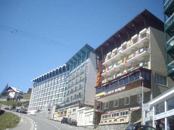
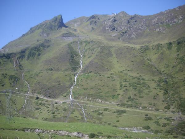
Information
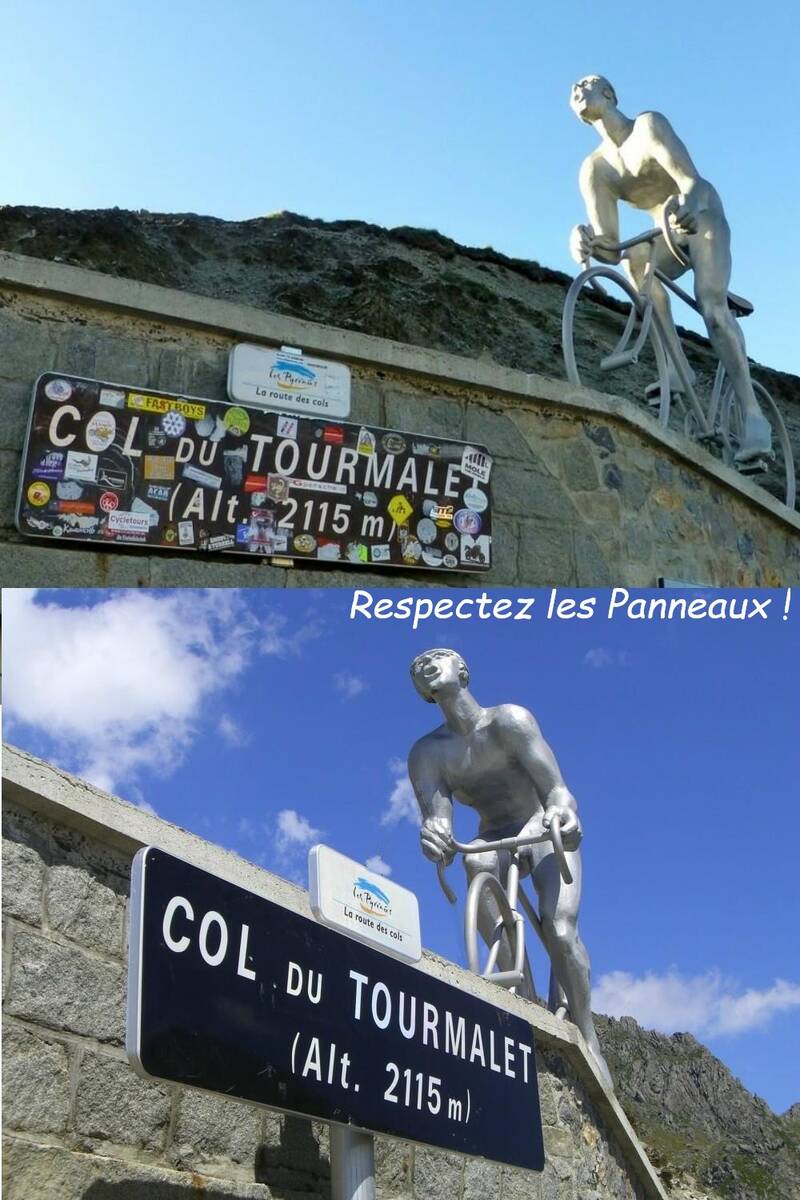
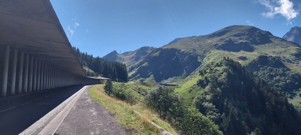
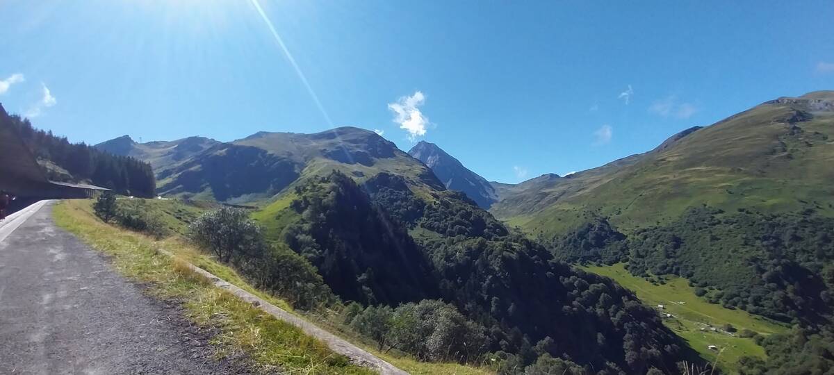
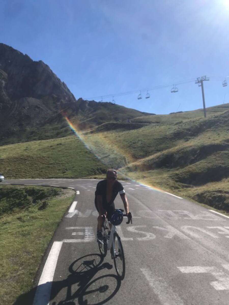
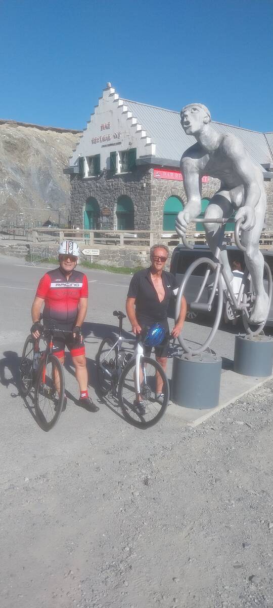
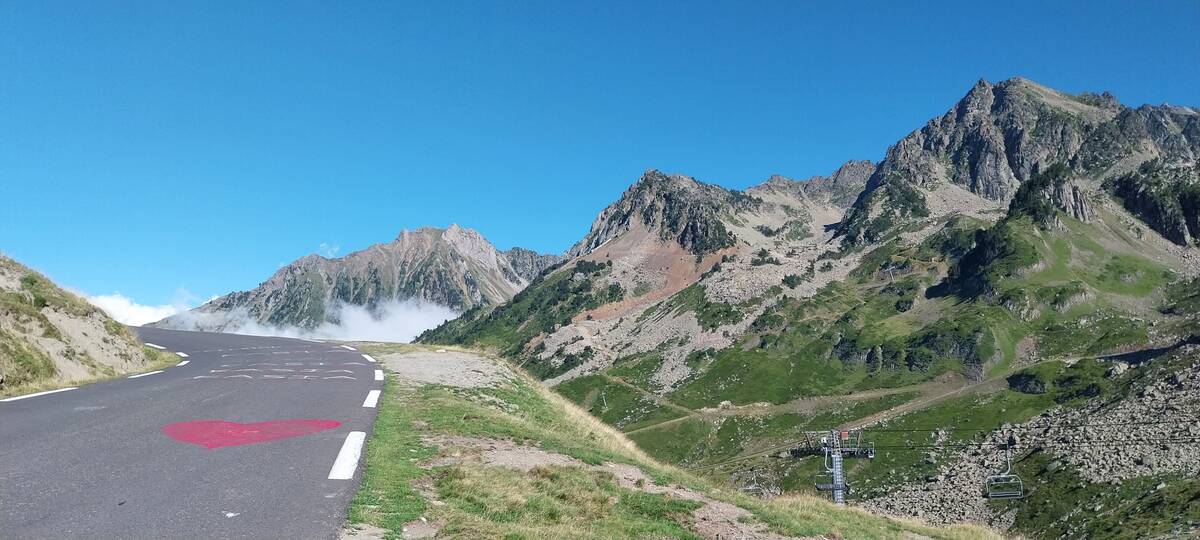
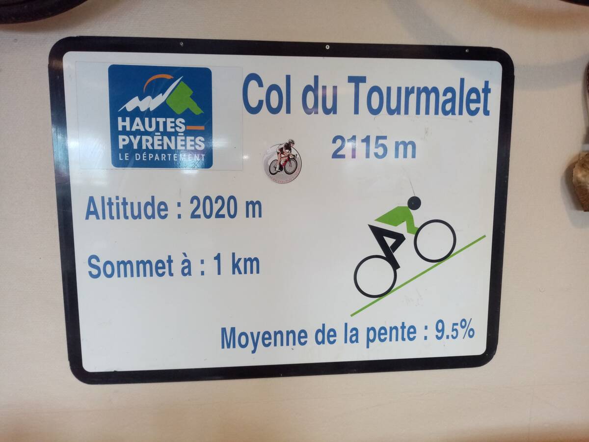
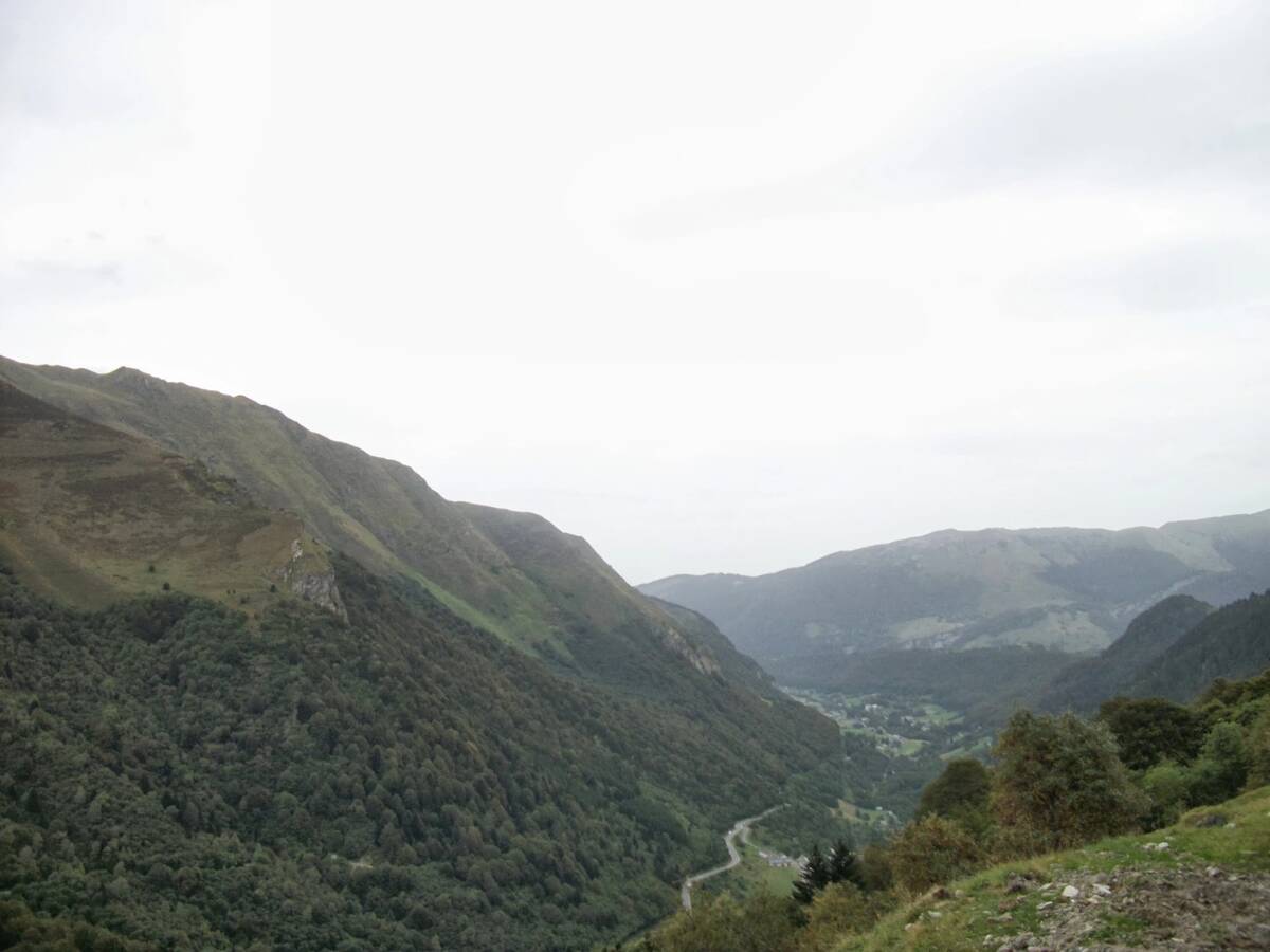
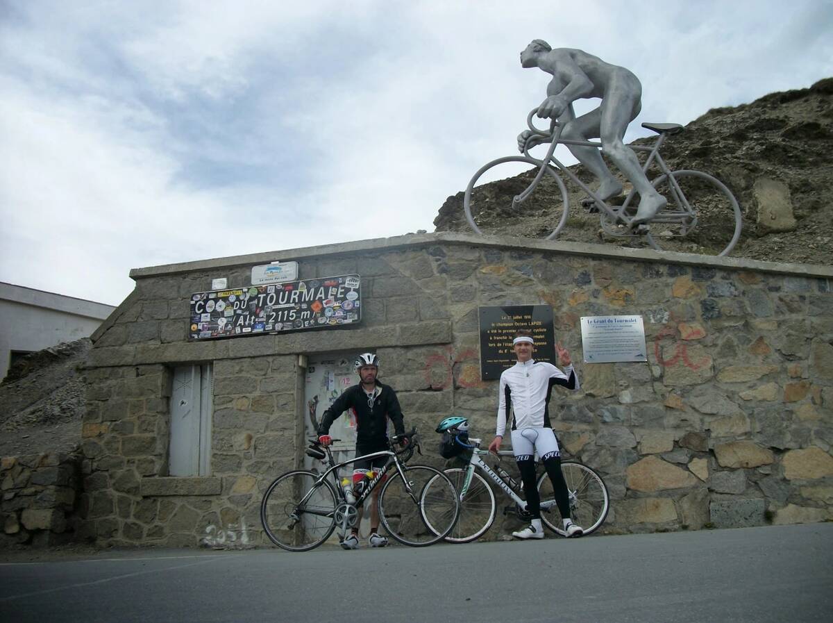
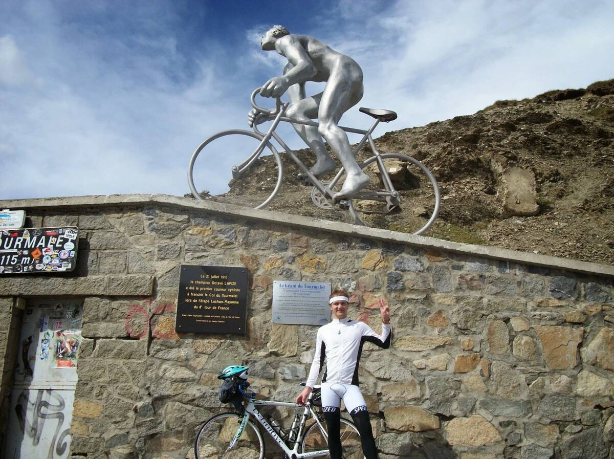
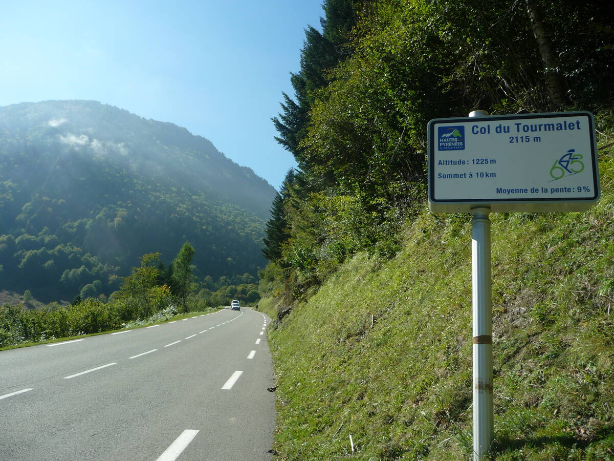
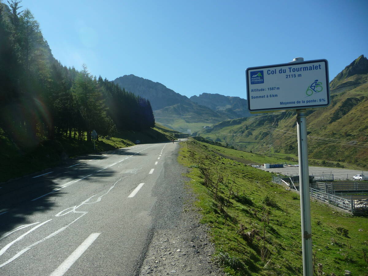
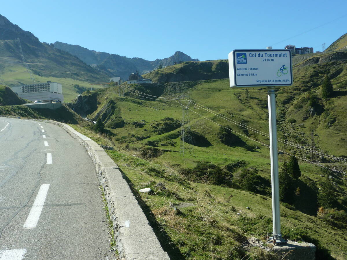
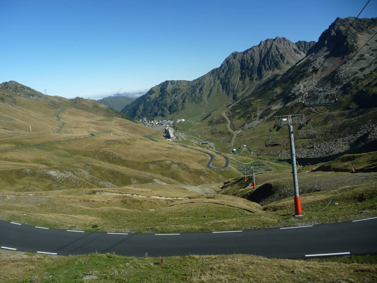
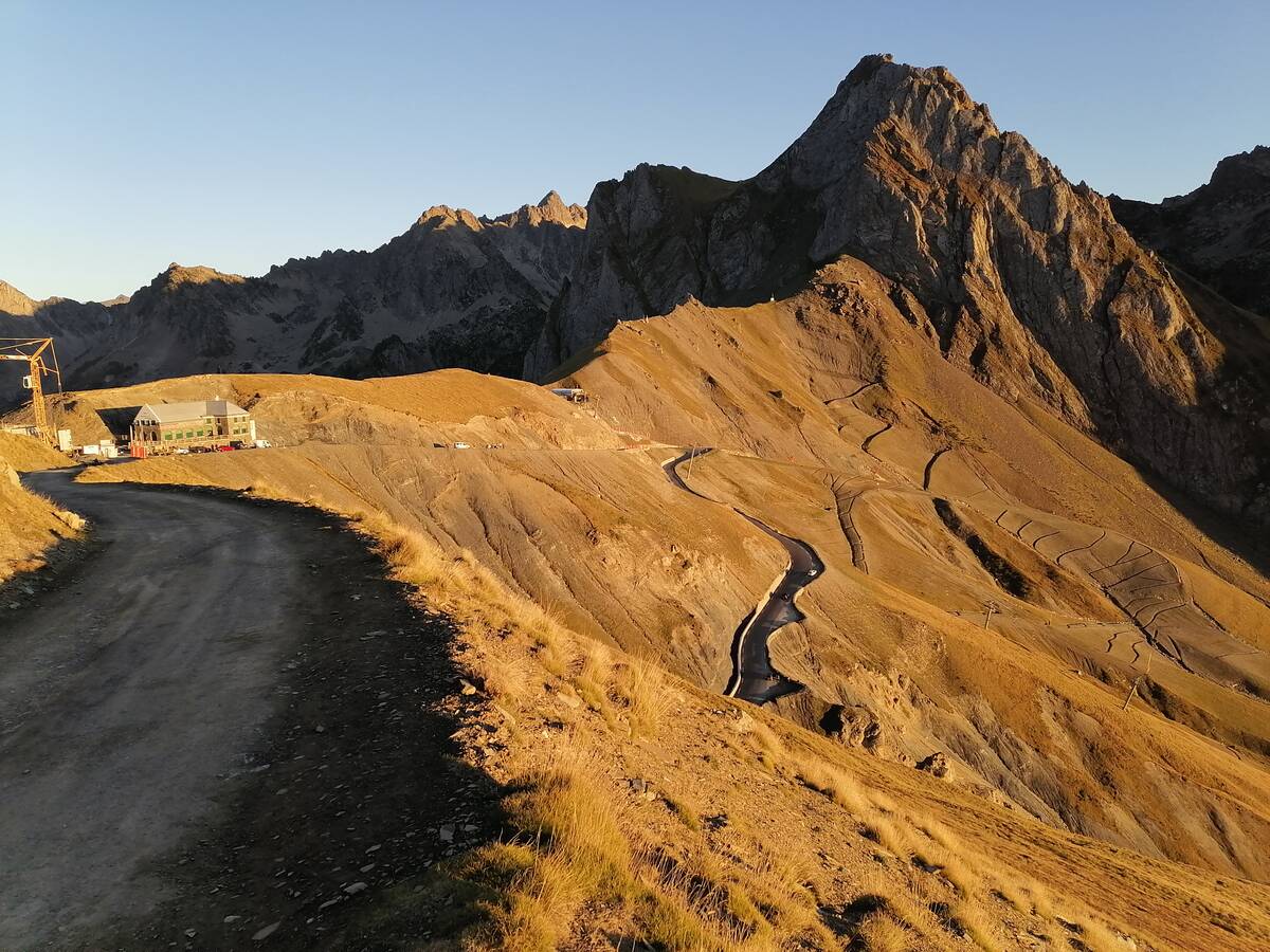
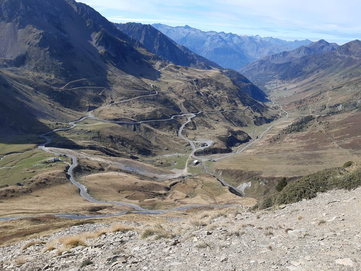
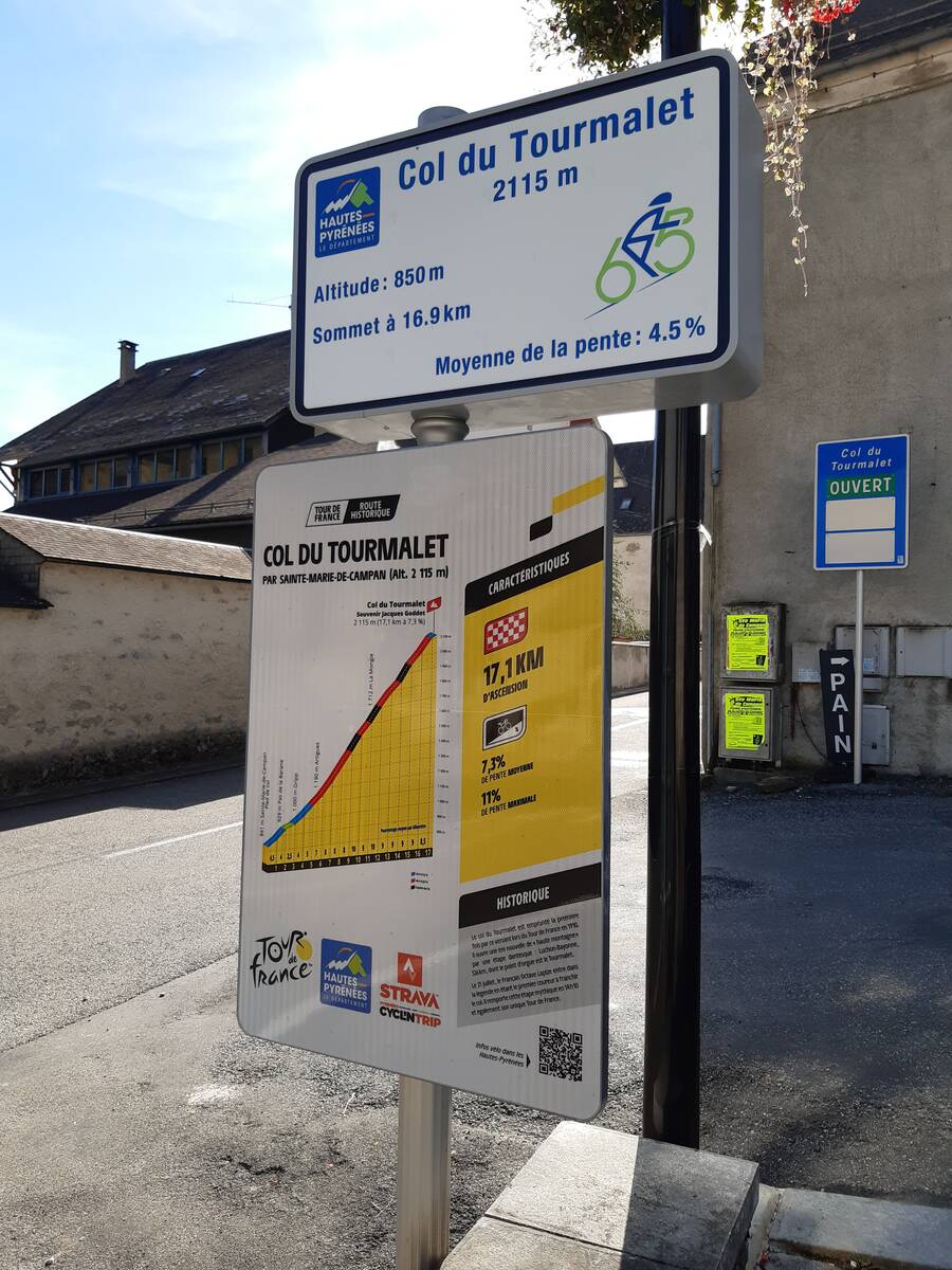
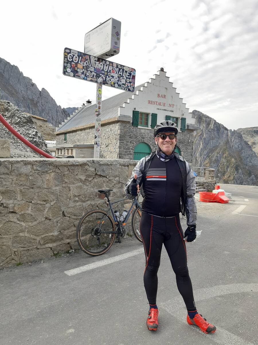
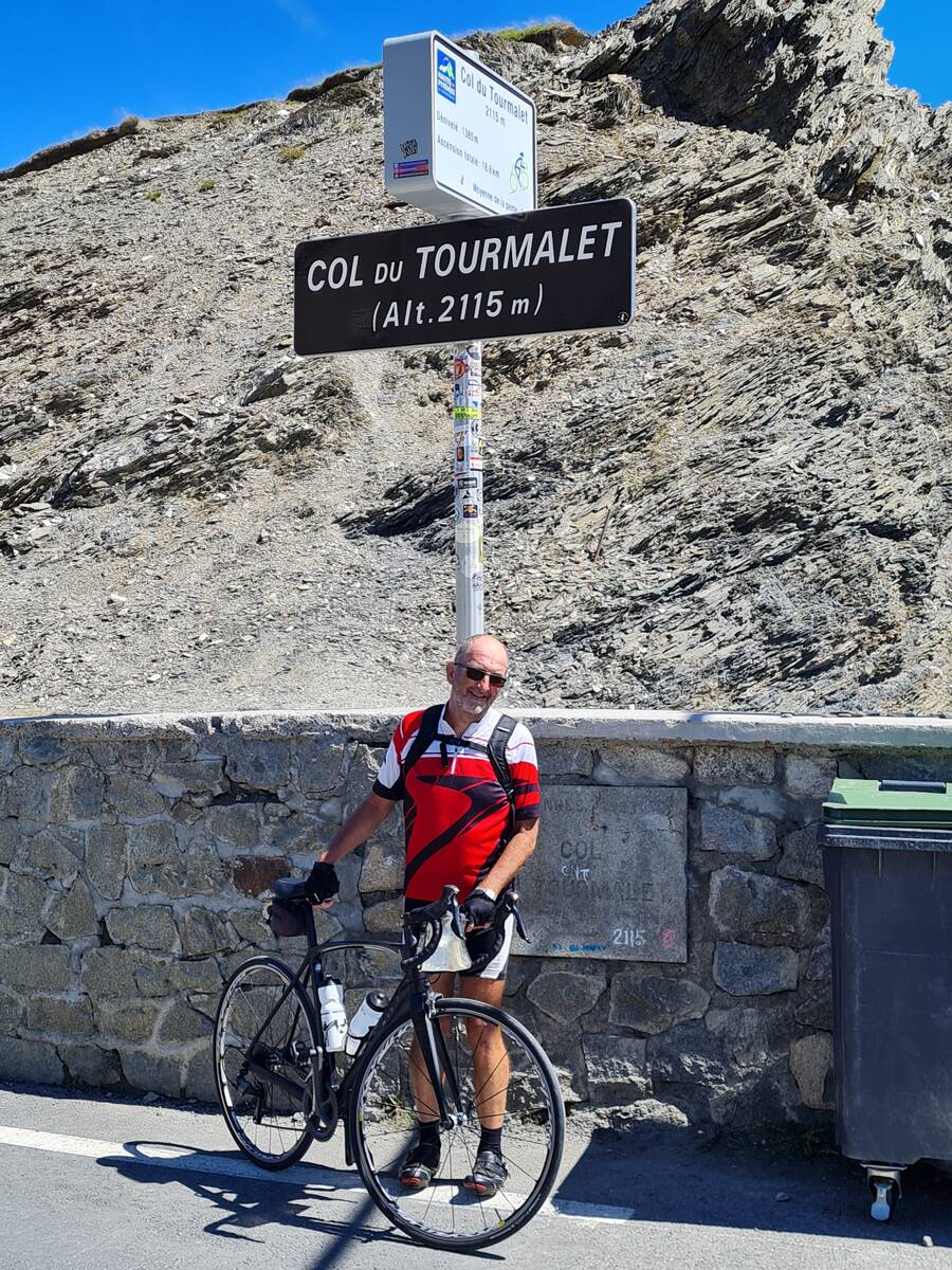
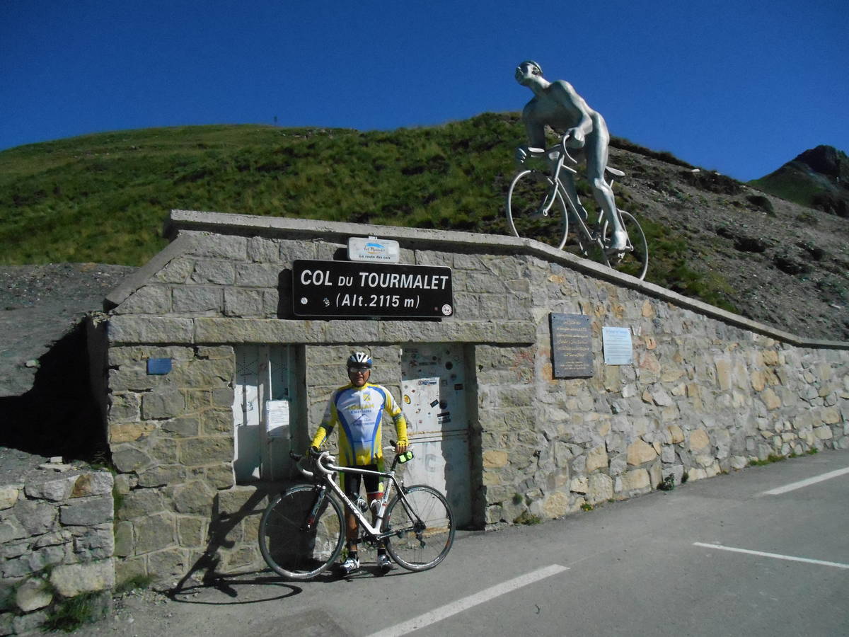
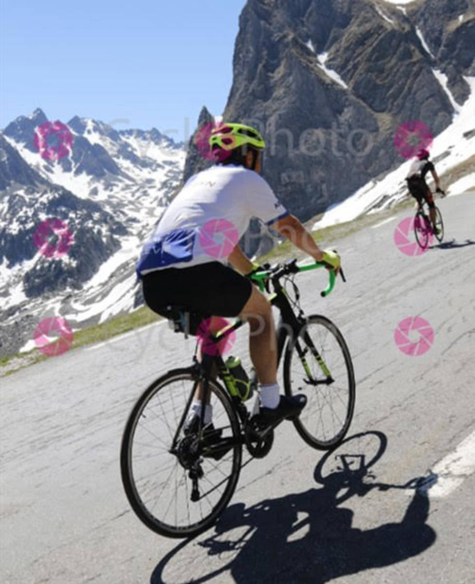
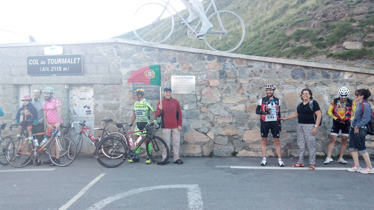
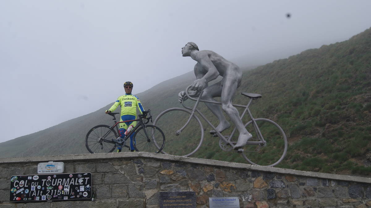
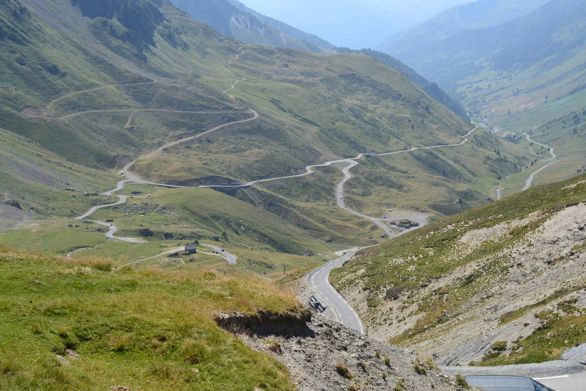
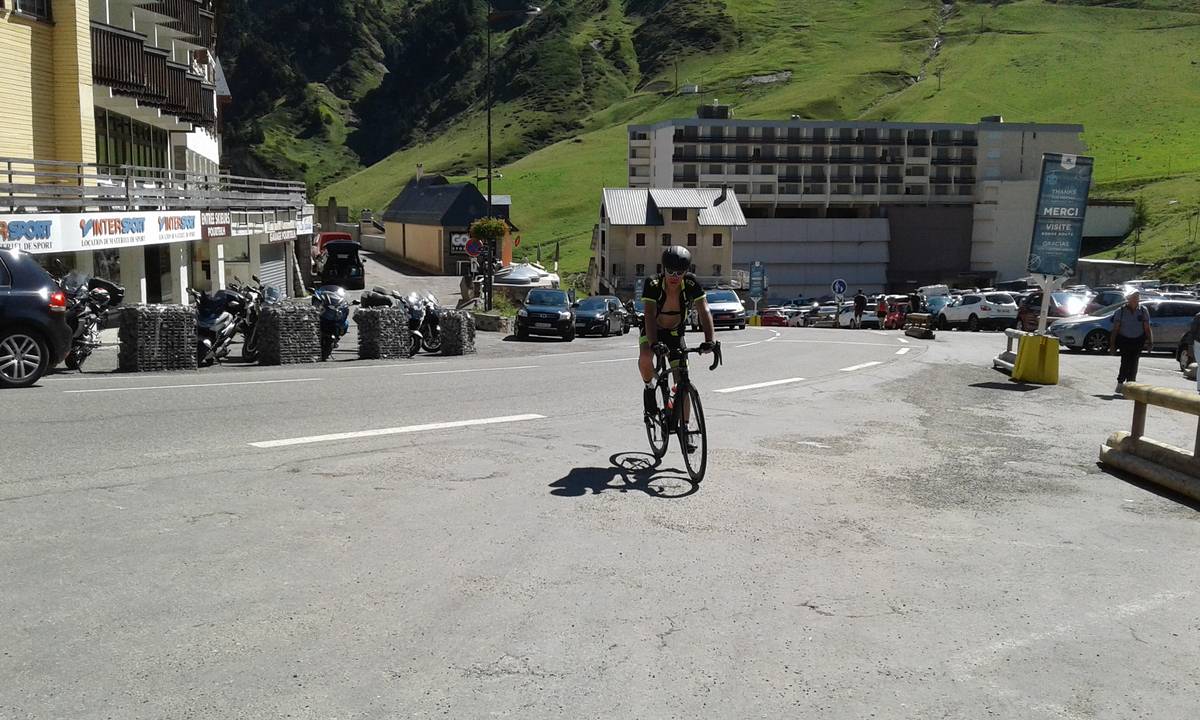
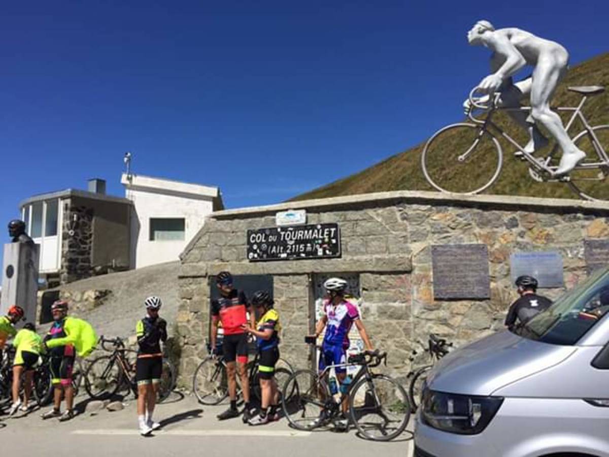
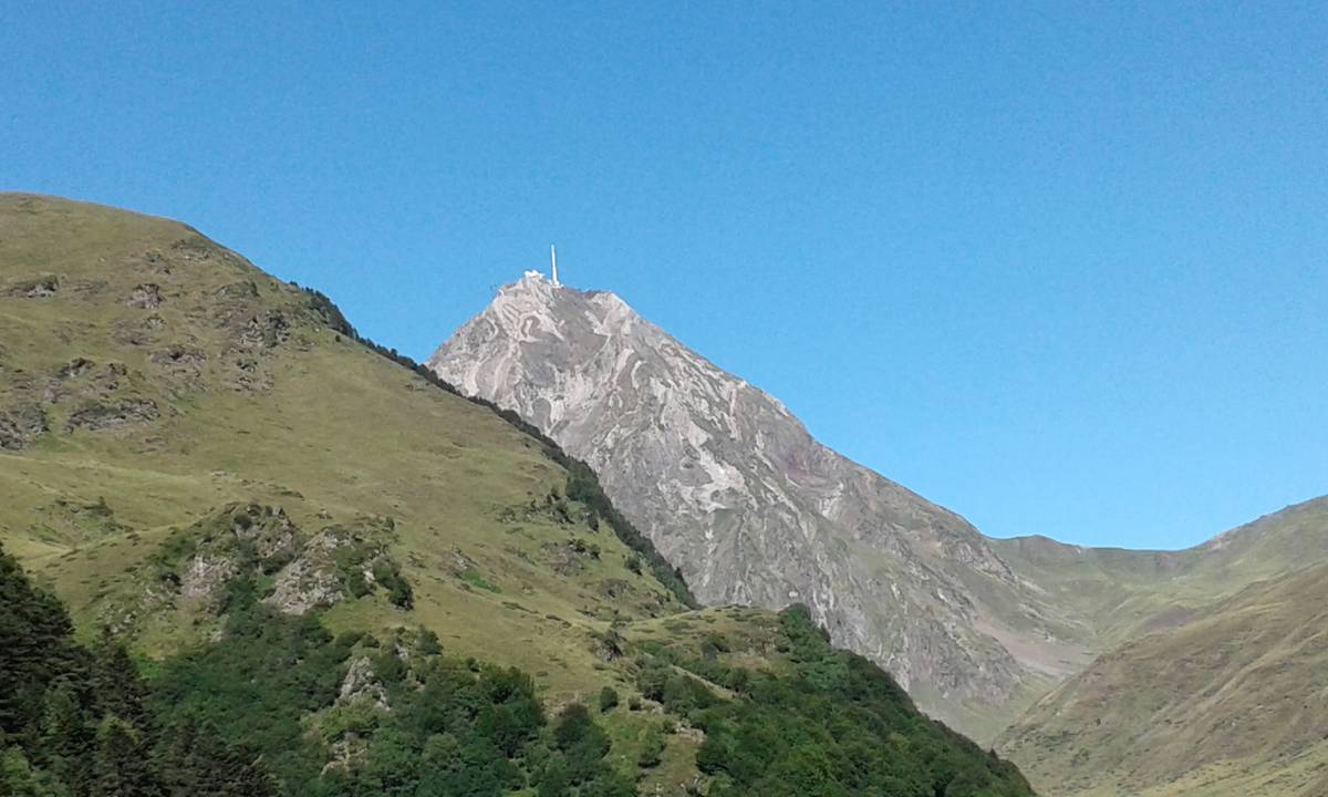
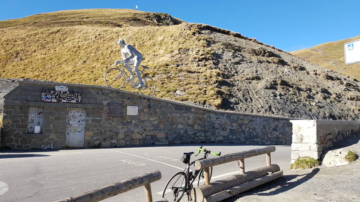
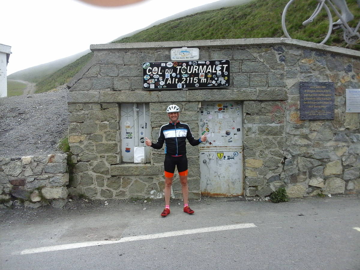
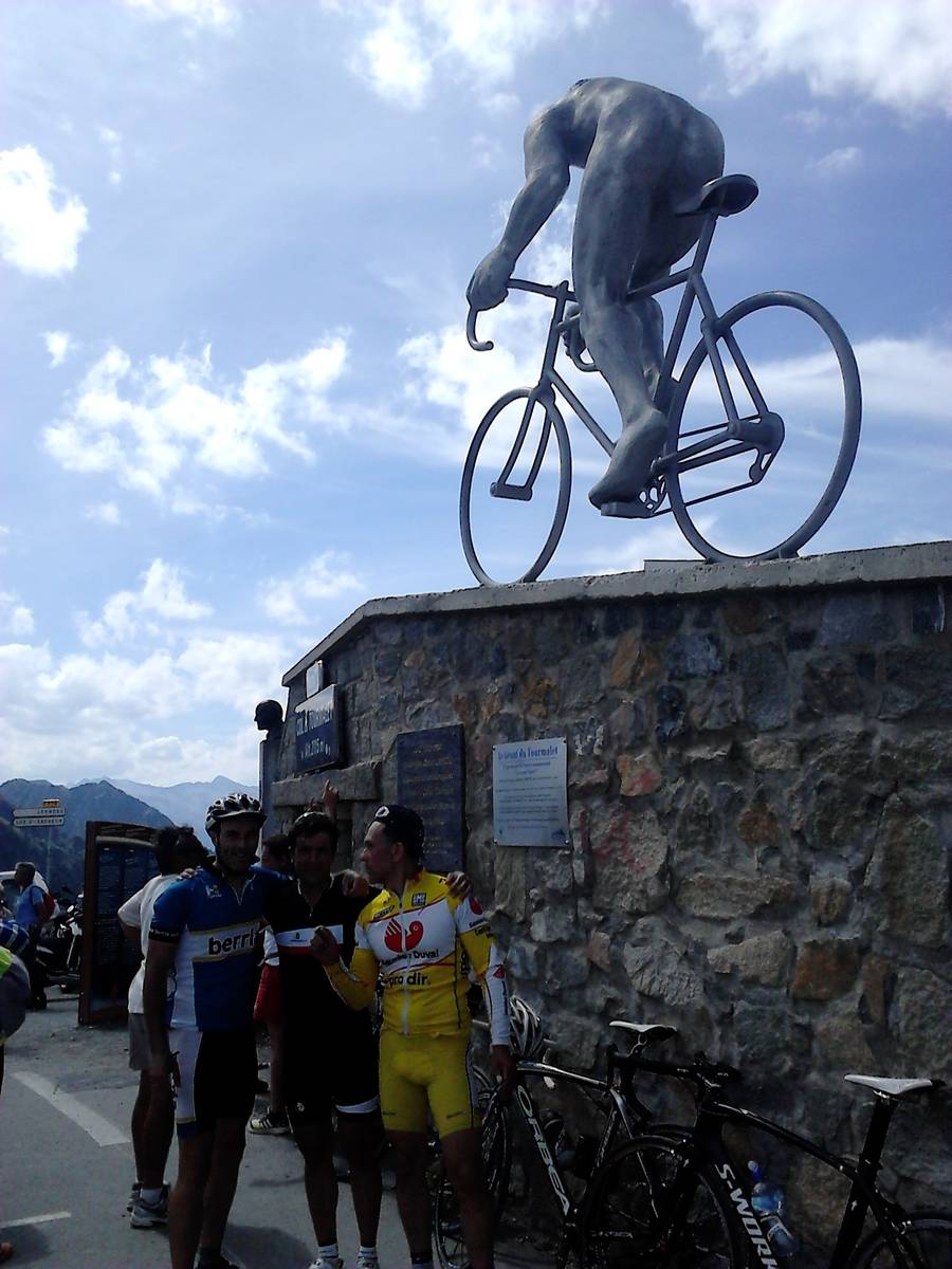
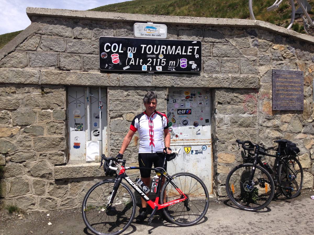
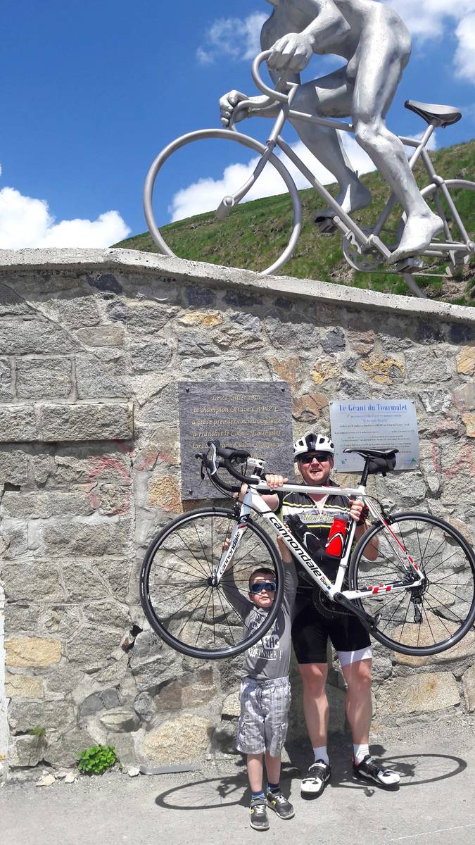
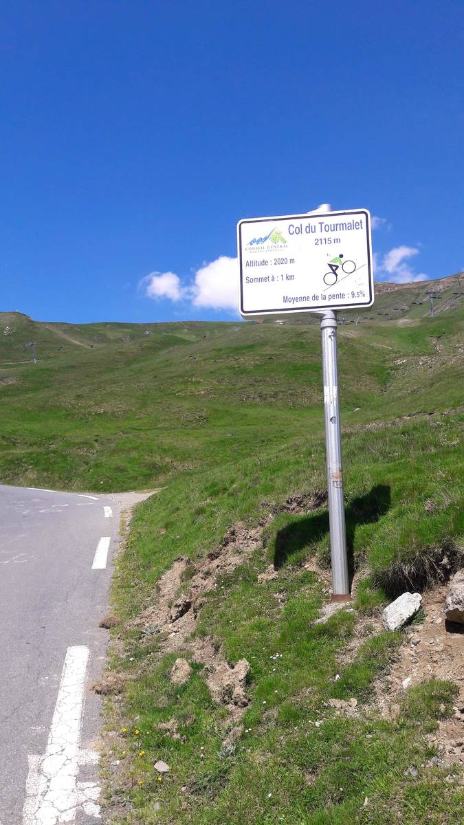
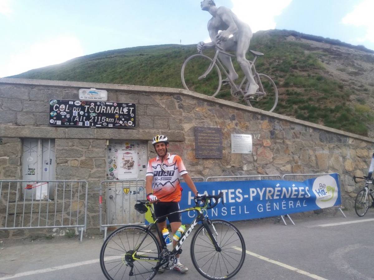
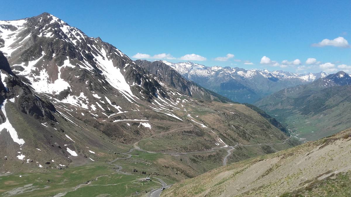
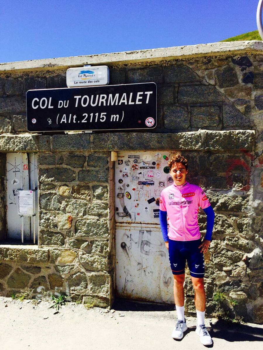
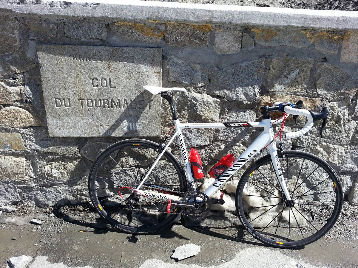
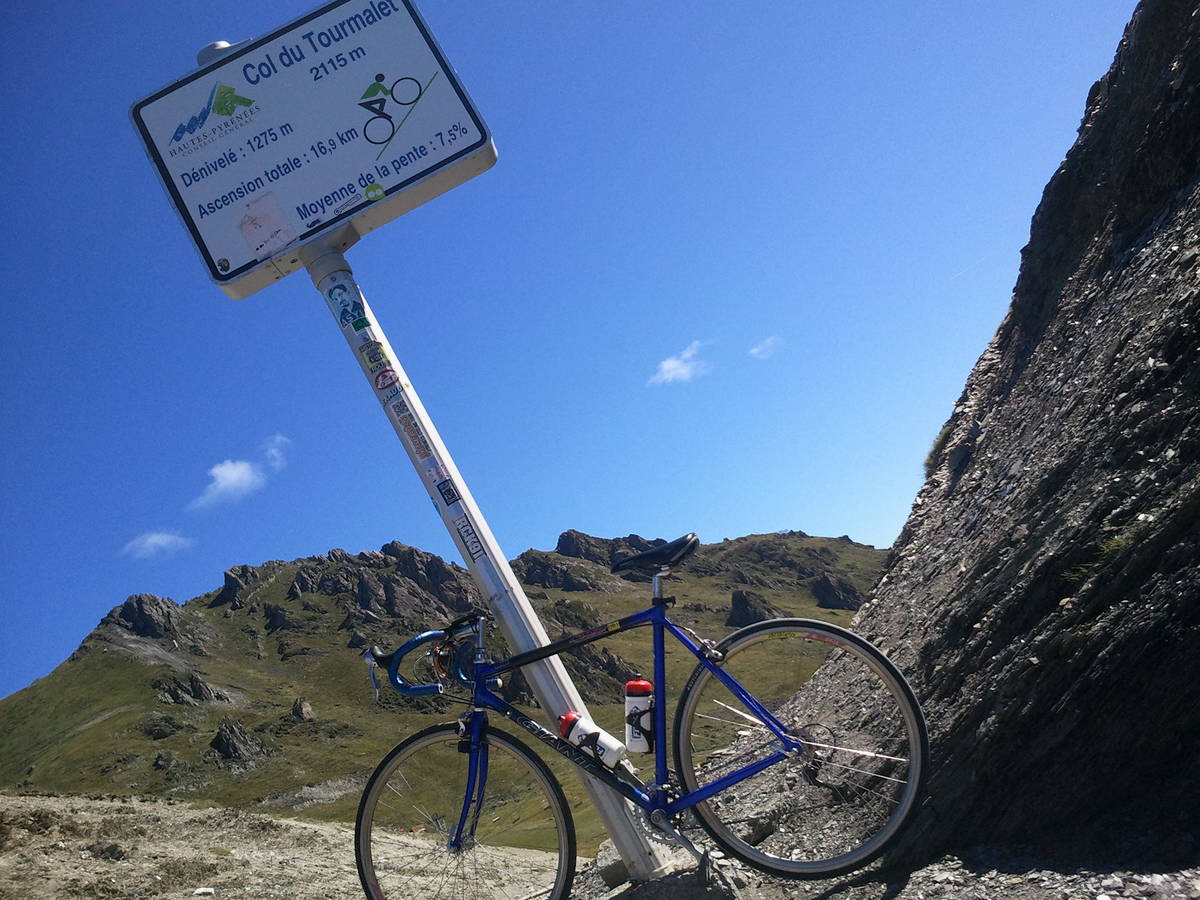
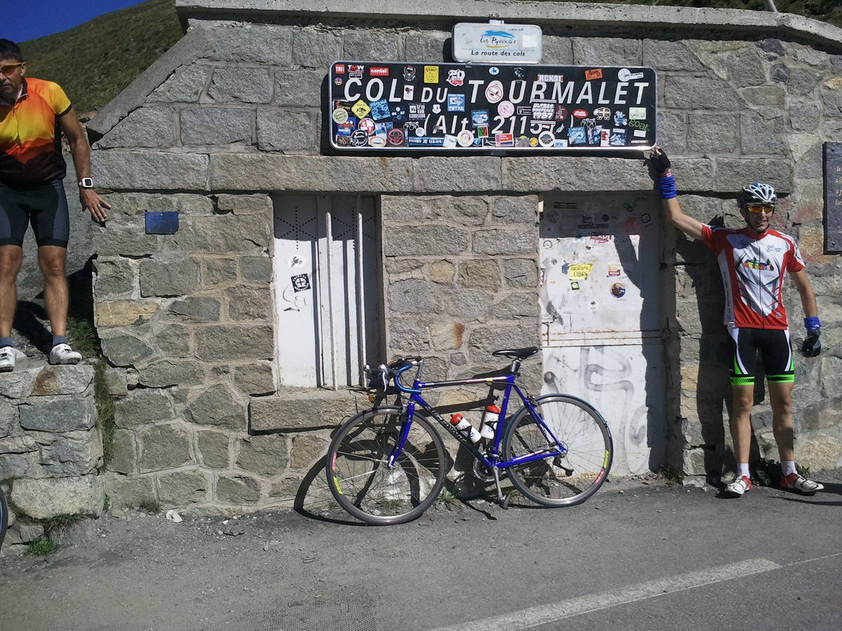
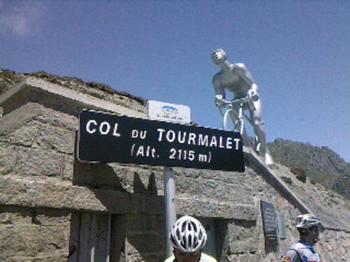
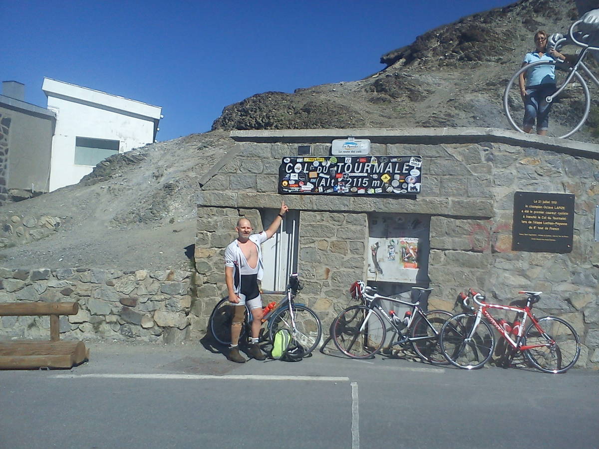
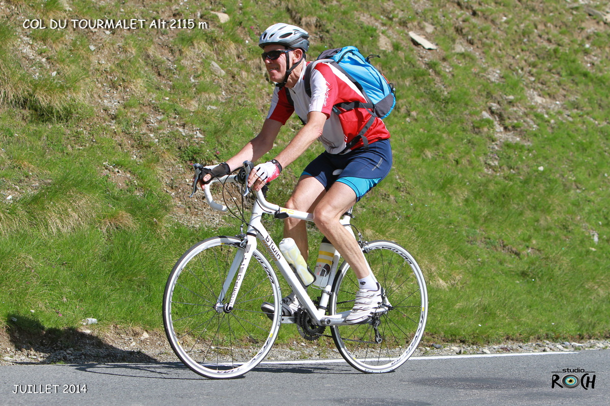
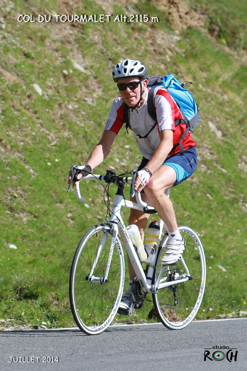
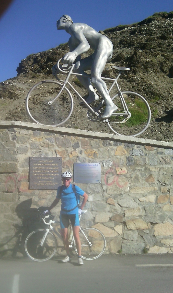
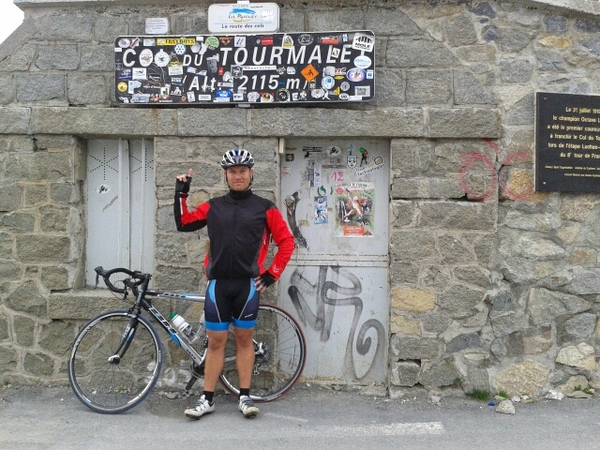
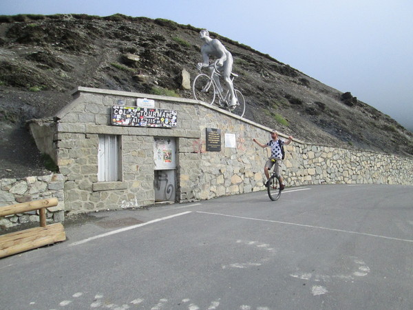
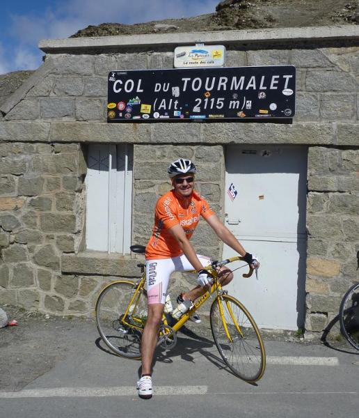
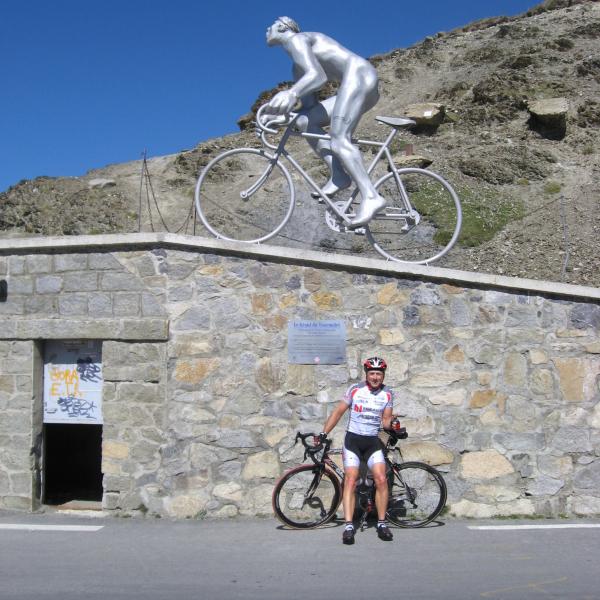
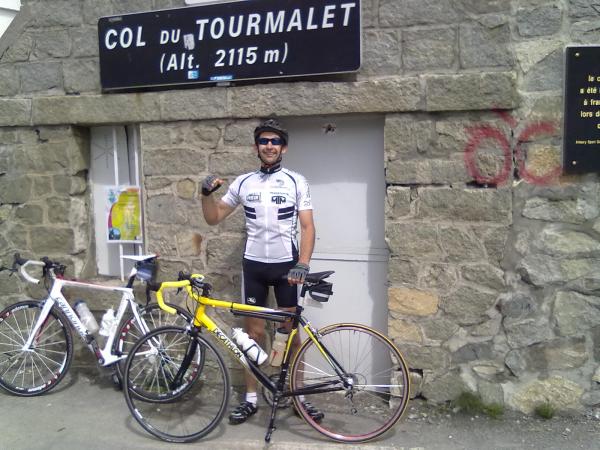
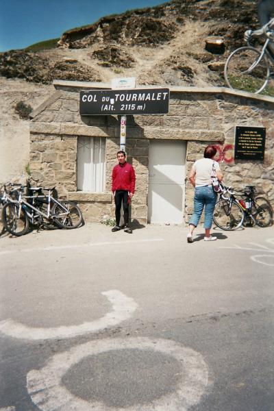
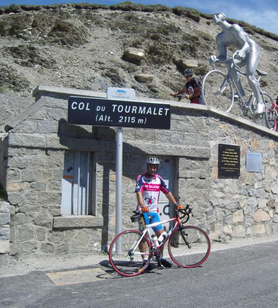
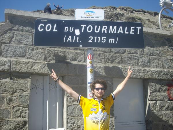
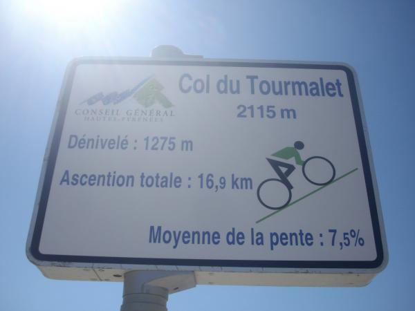
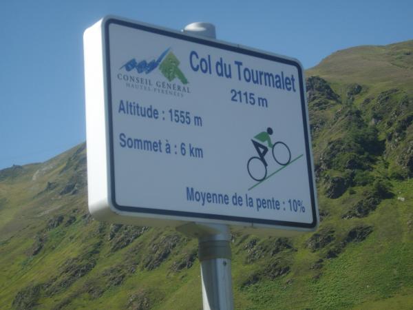
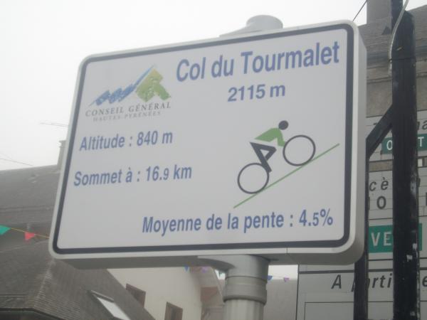
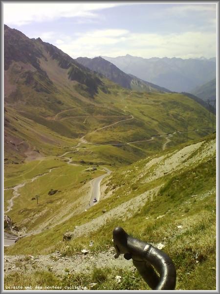
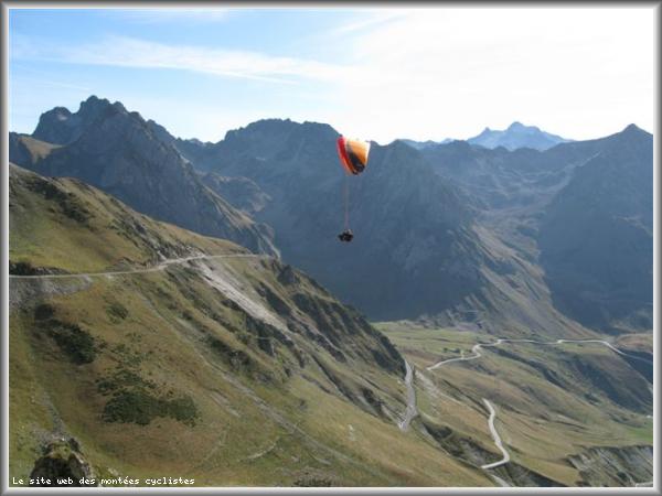
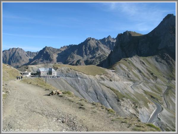
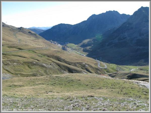
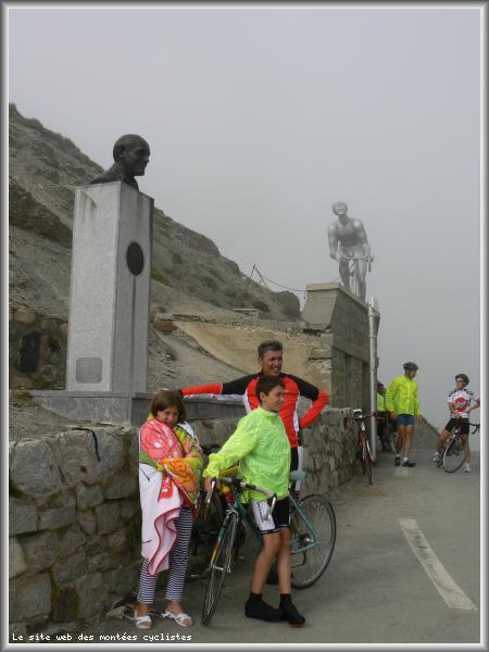
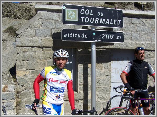
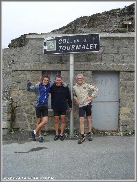
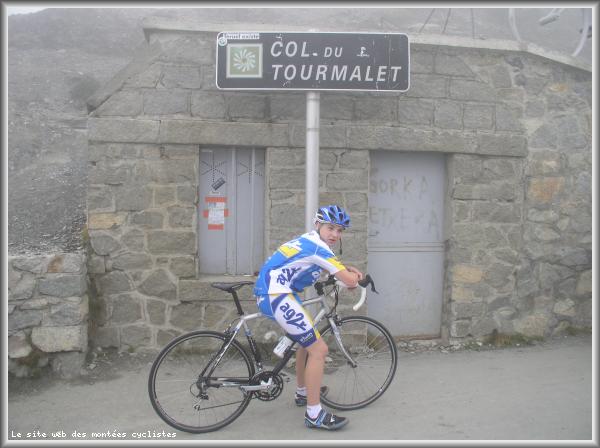
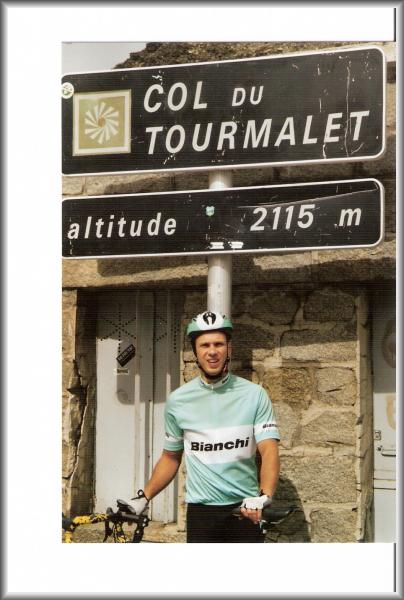
| Name : | Col du Tourmalet |
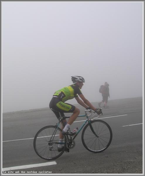
| Altitude : | 2115 m |
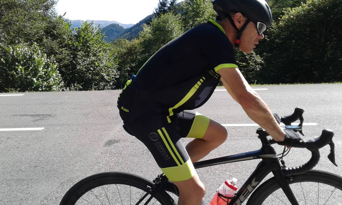
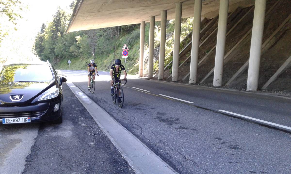
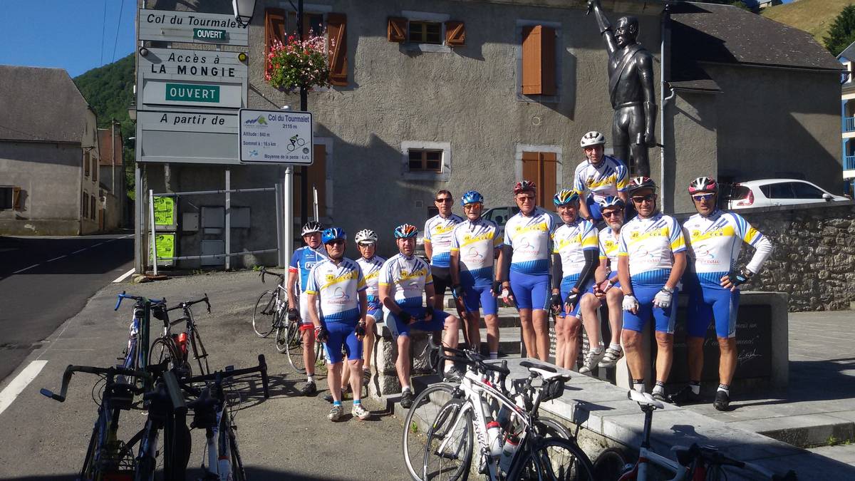
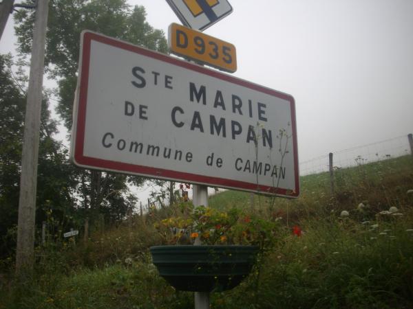
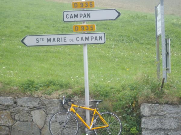
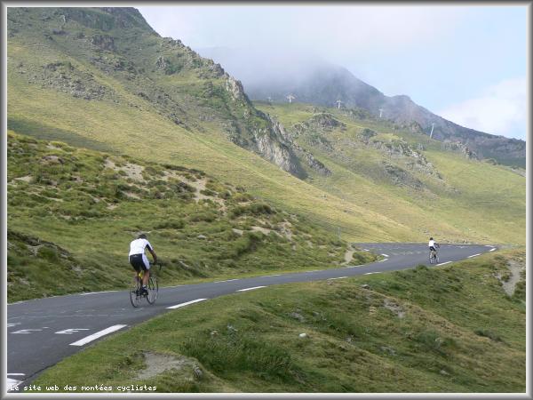
| Start : | Sainte Marie de Campan |
| Length : | 17.20 km |
| Elevation gain : | 1268 m |
| % Avg : | 7.37% |
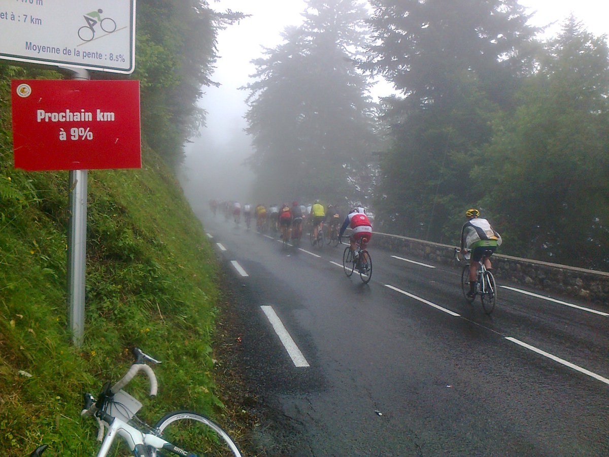
| % Max : | 10.0% |
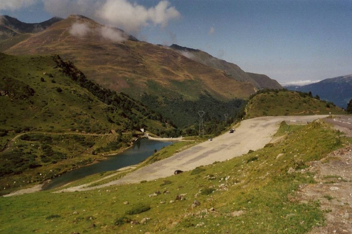
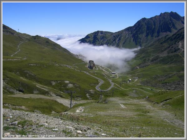
| Mountain range : | Central pyrenees, France |
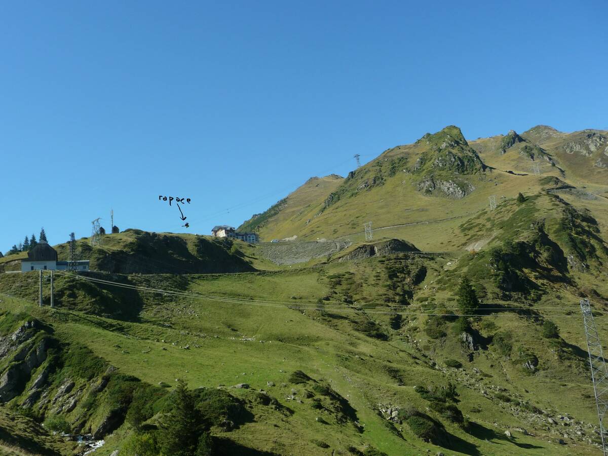
There's other climb of this summit
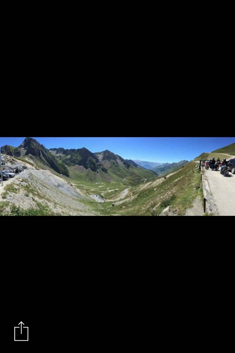
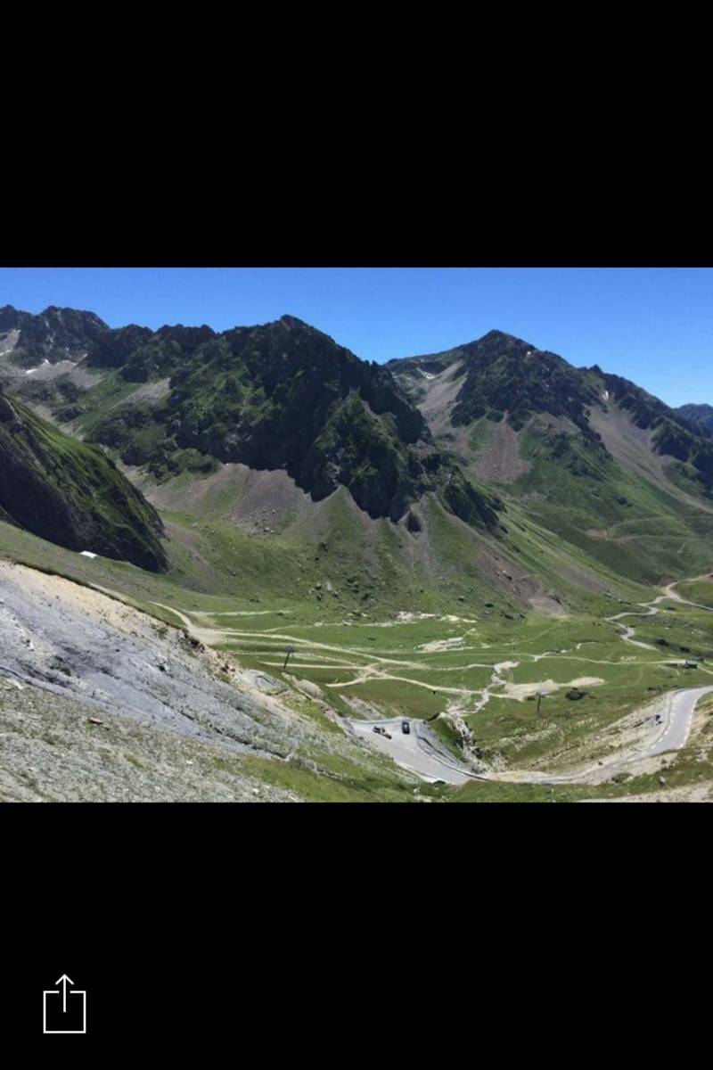
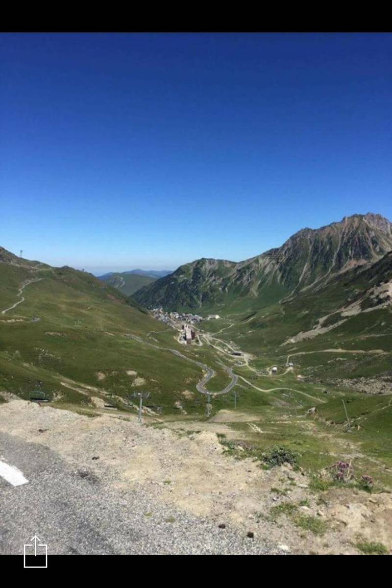
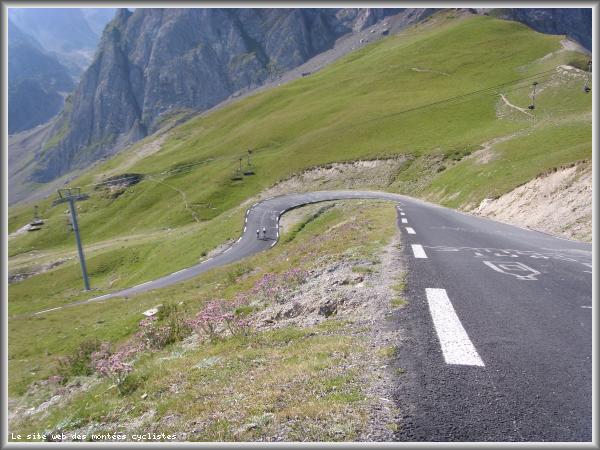
Map
Profile

 This climb is reserved for cyclists on 15/07/2026 : This climb is reserved for cyclists on 23/07/2025 : This climb is reserved for cyclists on 17/07/2024 : This climb is reserved for cyclists on 12/07/2023 : This climb is reserved for cyclists on 24/07/2019 :